Elevation of Swansboro Country Airport, Sluice St, Placerville, CA, USA
Location: United States > California > El Dorado County > Placerville >
Longitude: -120.73076
Latitude: 38.7979745
Elevation: 787m / 2582feet
Barometric Pressure: 92KPa
Elevation Map:
Satellite Map:
Related Photos:
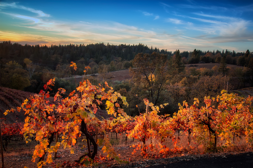
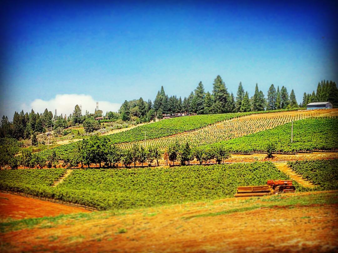
Sunset Vineyard

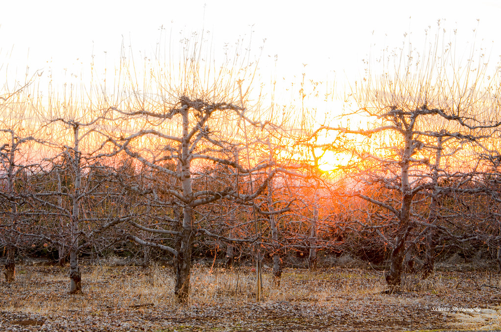
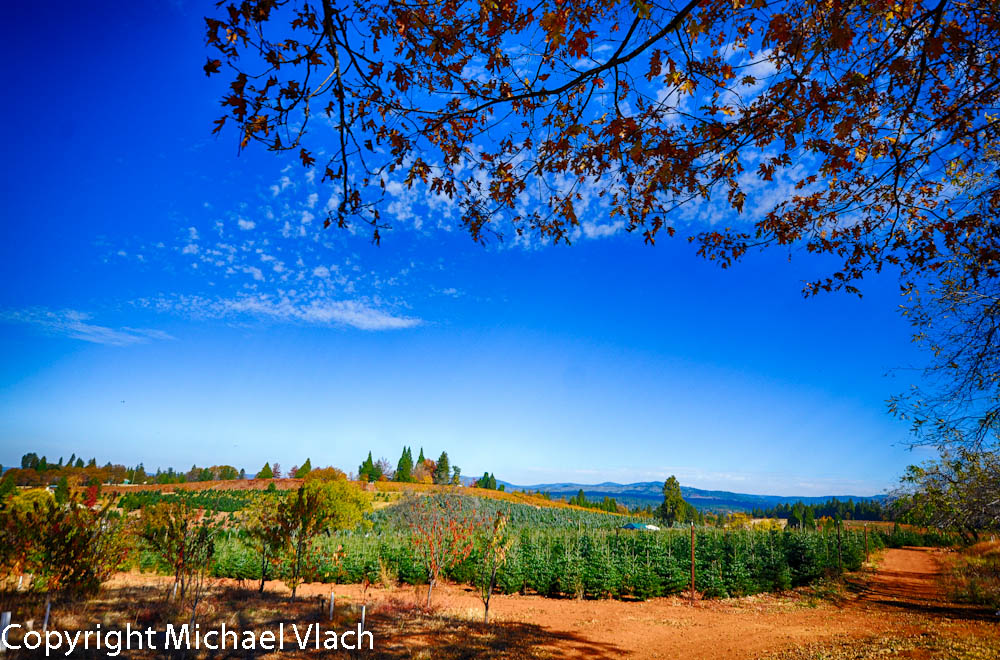
Apple Hill in the Rear View Mirror

Can you spot @she.roams and my dog enjoying the view?
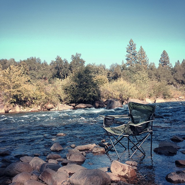
RV Camping..
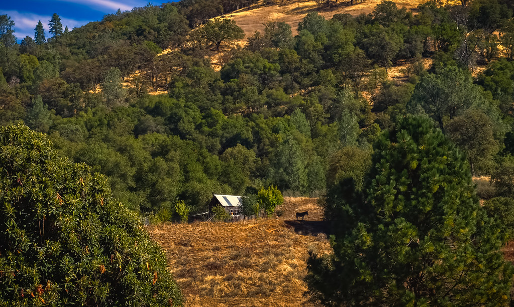
Outside the barn
Office In The Snow

Boeger Winery sunset view
Robinson's Pharmacy
Oct-11-Apple Hill-4ps
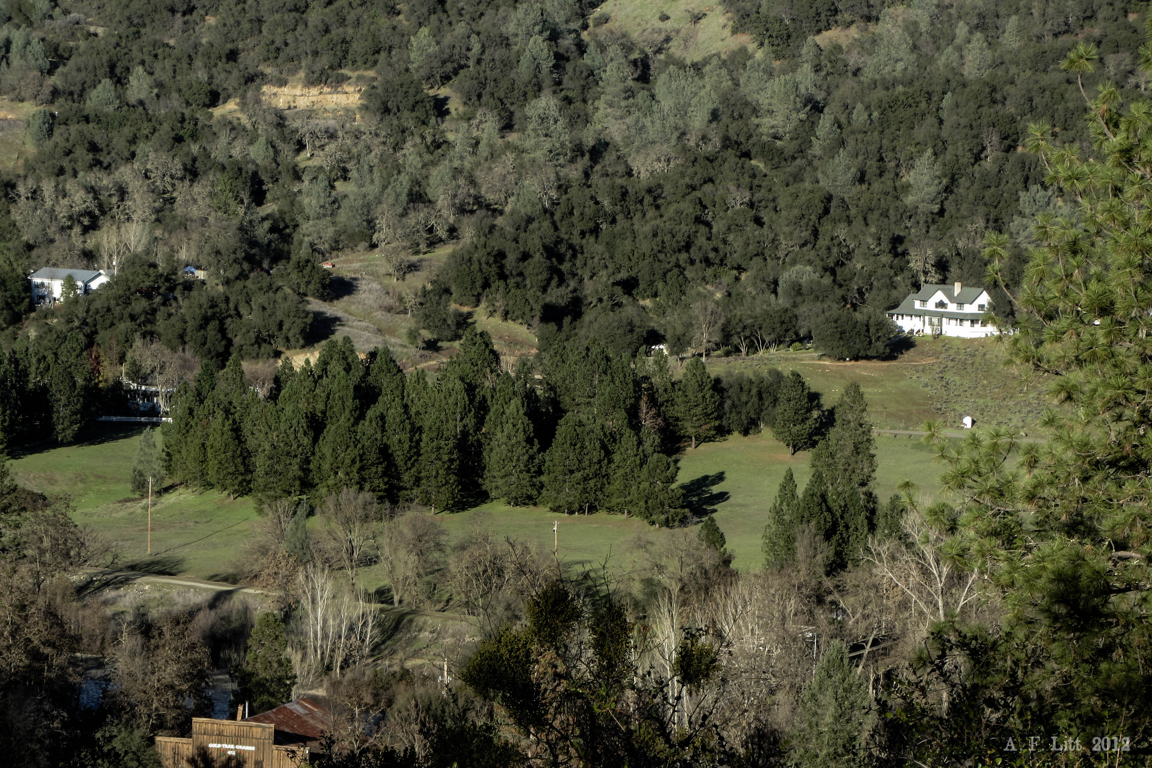
Day 945: ElDorado_9950d
Pear Blossom spring
pool view
Morning Services
snowy view

Early Morning
side yard view

Thunderclouds Over the Crest
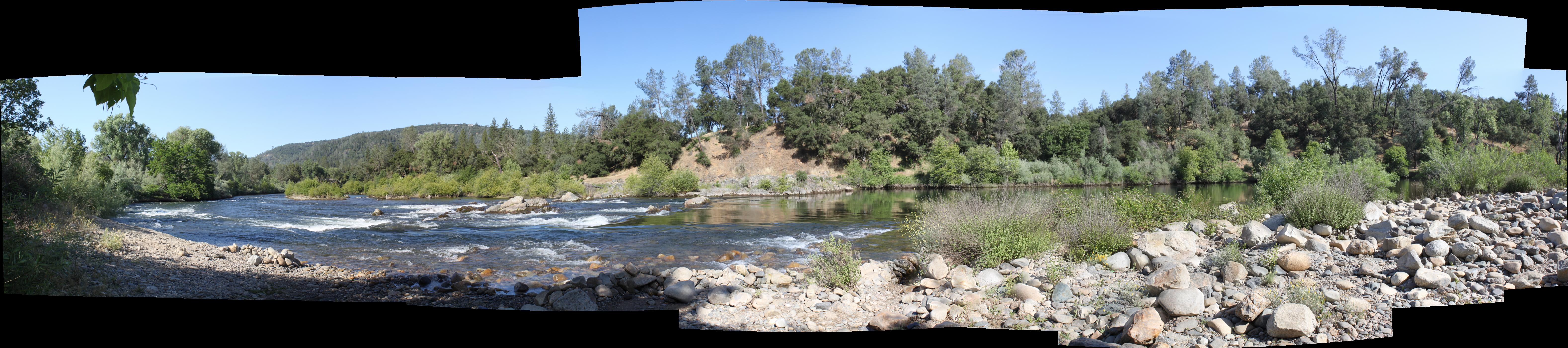
South Fork Panorama
View from James Marshal Monument. Marshal Gold Discovery State Historic Park. Coloma, California. December 20, 2012.
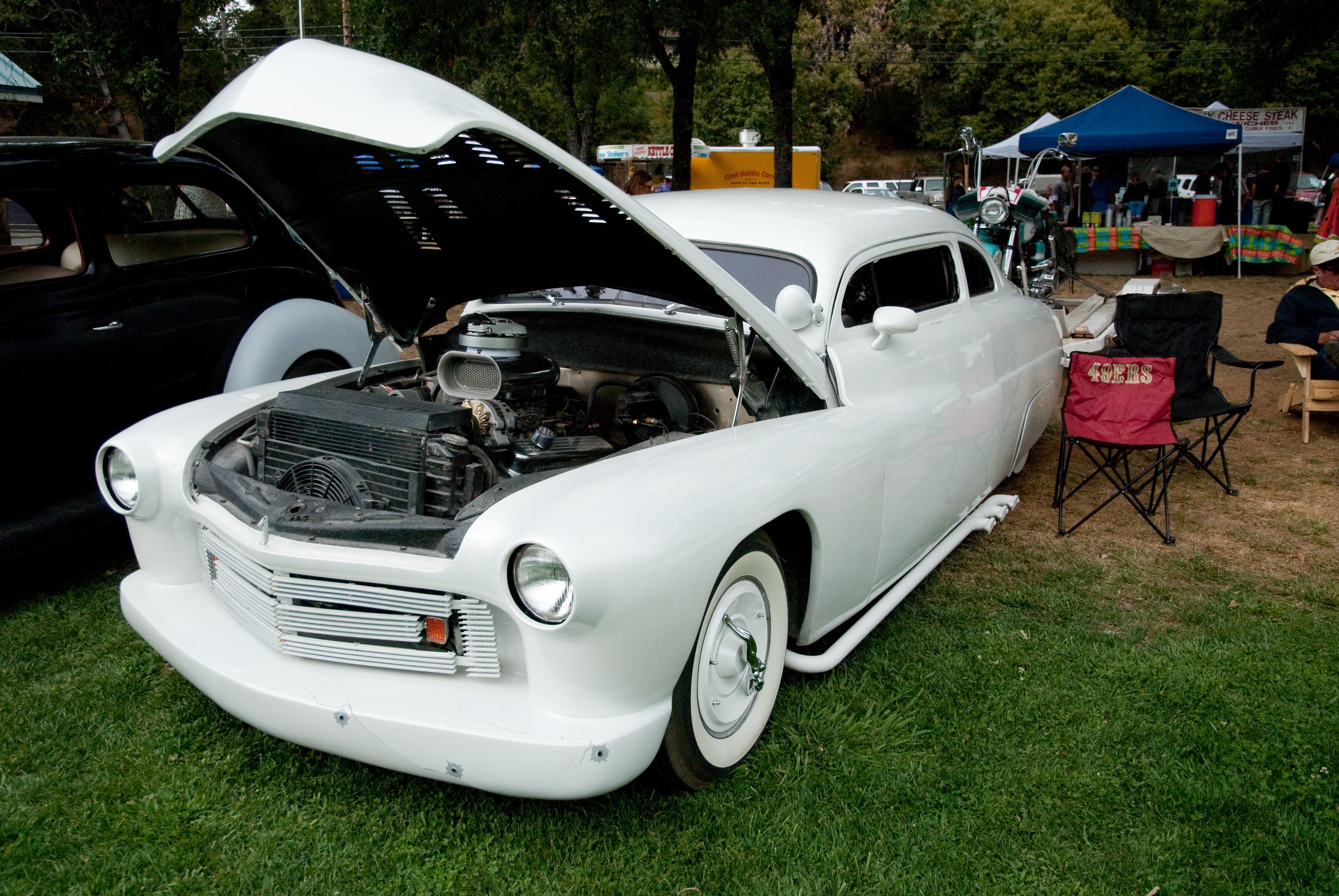
GVCarShow-6
Oct-11-Apple Hill-2ps
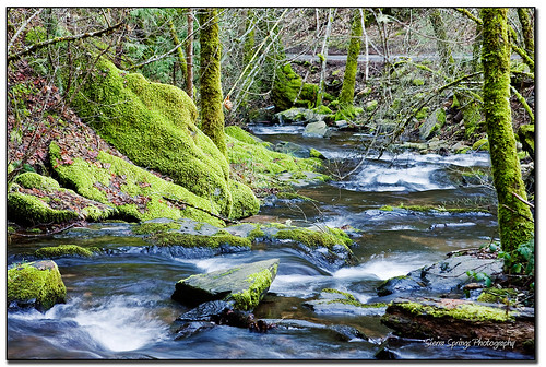
Iowa Creek
Boeger Winery in the Fall
Apple Tree Sunset 5

Audubon Hills Camino CA.
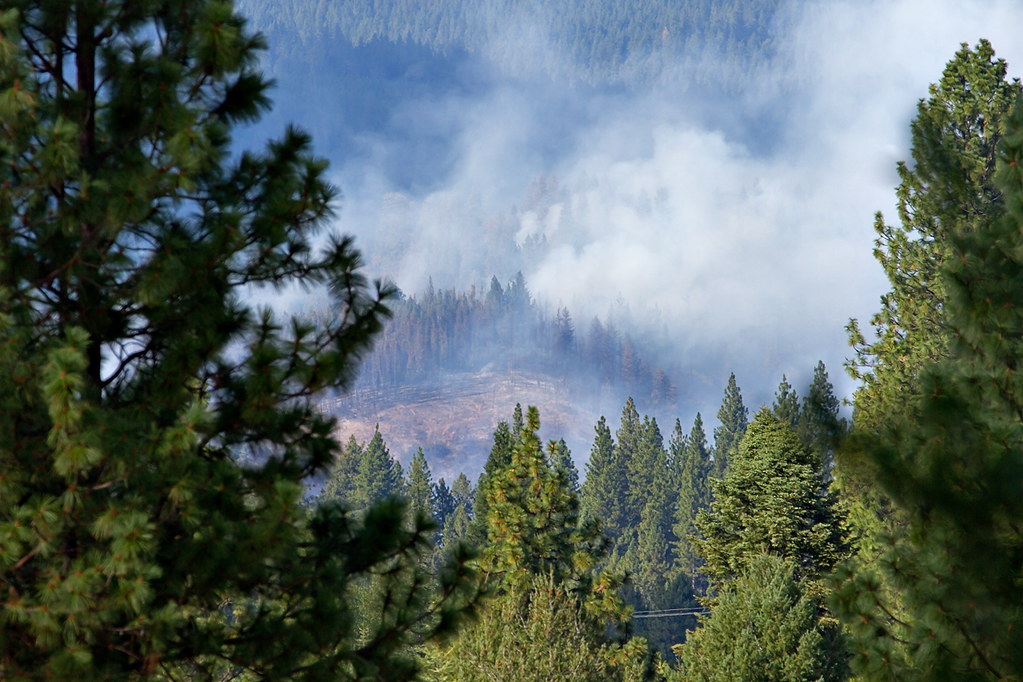
King Fire Western Edge 0423
#lavacapwinery #scenic #landscape #vineyards #grapevines #hillside
Apple Hill
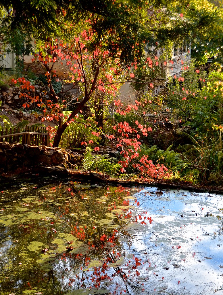
Boeger Winery pond
Forty Acres and a Mule
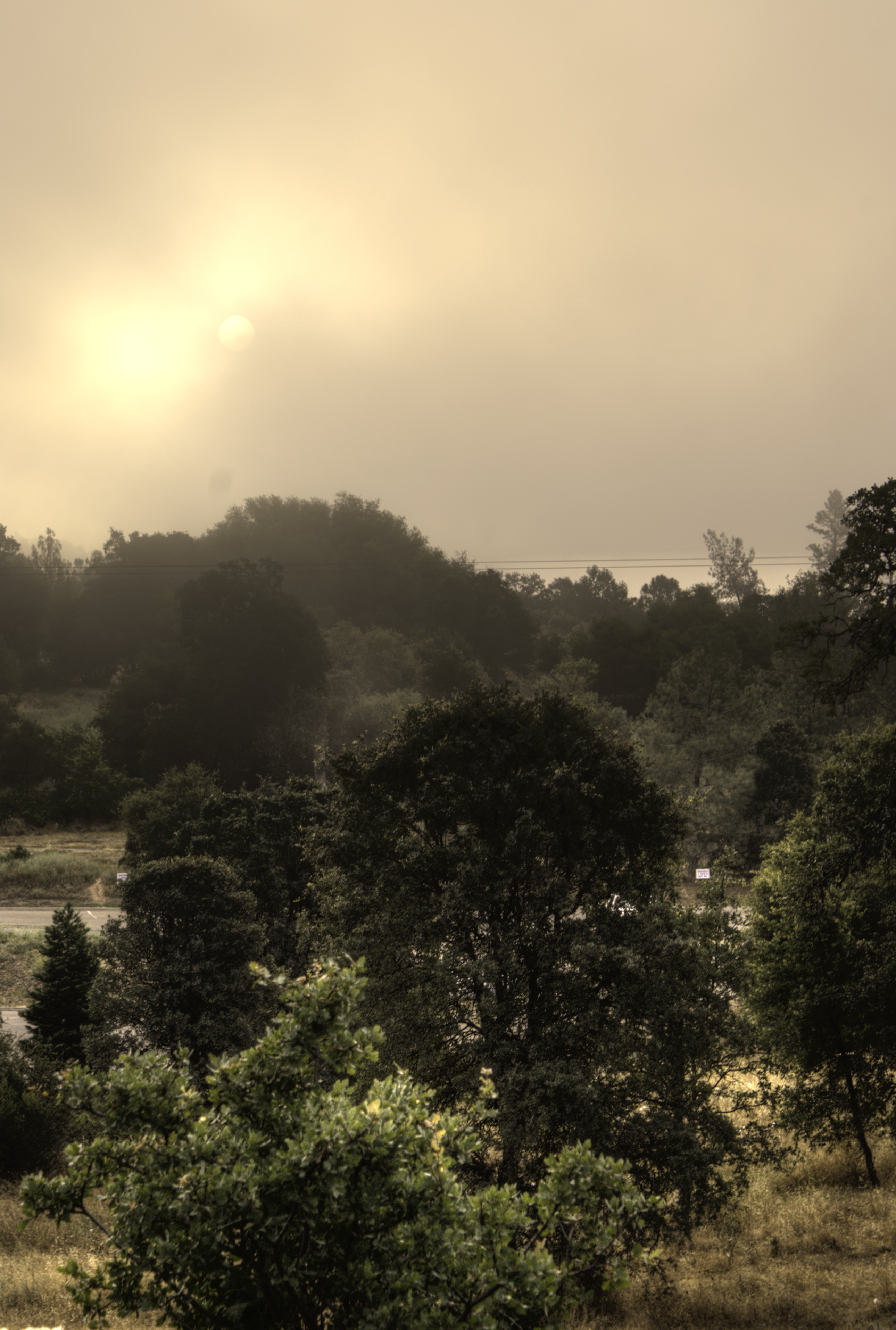
the fog
Fall vineyard sunset
Audubon Hills Camino CA.
Sunset Vineyard
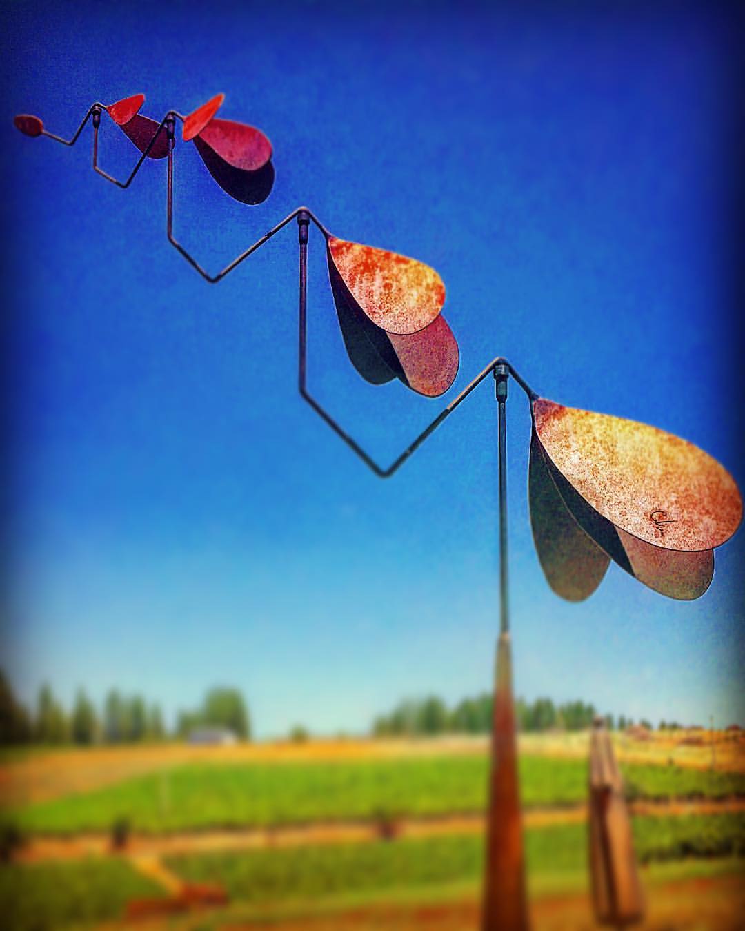
#lavacapwinery #sculpture #kinetic #scenic #landscape #art #photoart

#vineyard #landscape #sky #green #patterns #horizon
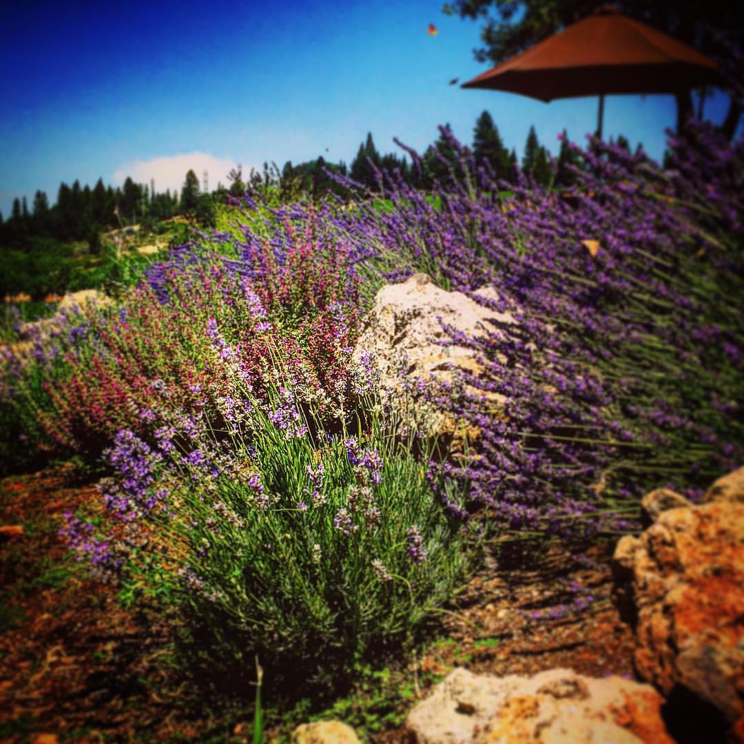
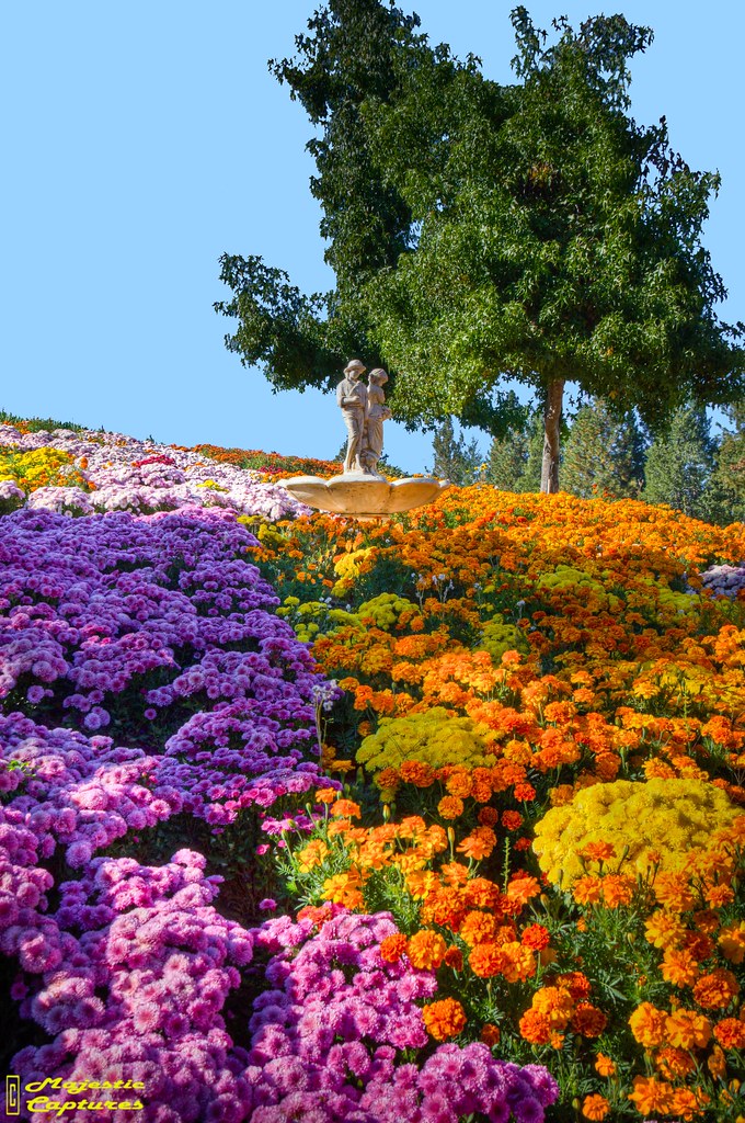
#lavacapwinery #winery #lavender #flowers #vineyard #scenic #landscape #colors
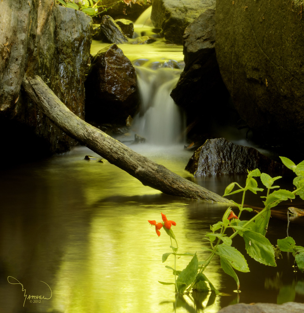
Moss and Water
the spot.
Hazy Morning

Geese grazing in a field - Tiny Planet
Topographic Map of Swansboro Country Airport, Sluice St, Placerville, CA, USA
Find elevation by address:

Places near Swansboro Country Airport, Sluice St, Placerville, CA, USA:
6696 Mosquito Rd
2778 Buckboard Rd
2764 Dyer Way
2764 Dyer Way
2600 Immerville Dr
7031 Mosquito Rd
3044 Highgrade St
6561 Highgrade Ct
Highgrade Street
2835 Lawyer Dr
7040 Triple R Rd
7000 Triple R Rd
Finnon Lake Campground
9100 Rock Creek Rd
9481 Rock Creek Rd
Lupine Lane
3822 Dogwood Ln
2801 Darr Ct
3212 Running Quail Ct
3020 Cableview Ct
Recent Searches:
- Elevation of 3 Nestling Wood Dr, Long Valley, NJ, USA
- Elevation of Ilungu, Tanzania
- Elevation of Yellow Springs Road, Yellow Springs Rd, Chester Springs, PA, USA
- Elevation of Rēzekne Municipality, Latvia
- Elevation of Plikpūrmaļi, Vērēmi Parish, Rēzekne Municipality, LV-, Latvia
- Elevation of 2 Henschke Ct, Caboolture QLD, Australia
- Elevation of Redondo Ave, Long Beach, CA, USA
- Elevation of Sadovaya Ulitsa, 20, Rezh, Sverdlovskaya oblast', Russia
- Elevation of Ulitsa Kalinina, 79, Rezh, Sverdlovskaya oblast', Russia
- Elevation of 72-31 Metropolitan Ave, Middle Village, NY, USA