Elevation of SW Main Blvd, Lake City, FL, USA
Location: United States > Florida > Columbia County > Lake City >
Longitude: -82.643762
Latitude: 30.1579599
Elevation: 39m / 128feet
Barometric Pressure: 101KPa
Elevation Map:
Satellite Map:
Related Photos:

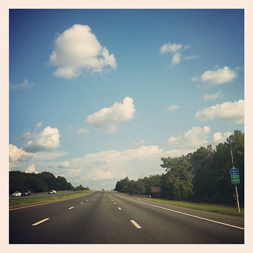
Penske Mirror

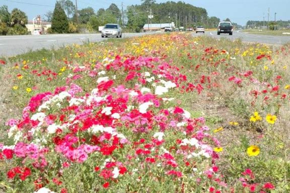
What is life if you don't stop and smell the wild flowers? #almostHome #wildFlowers #nofilter #i75

Chasing the Sun

Chasing the Sun
Perfect day for it #roadtrip #miami #mia

Unidentified True Bug 1

Project 365- 316-365

sunglasses sun III

State Road 247
Walk back home on every road.
little tumble on a drainage ditch

Grassleaf Barbara's Buttons (Marshallia graminifolia)

Unidentified True Bug 3
Cline Feagle Road
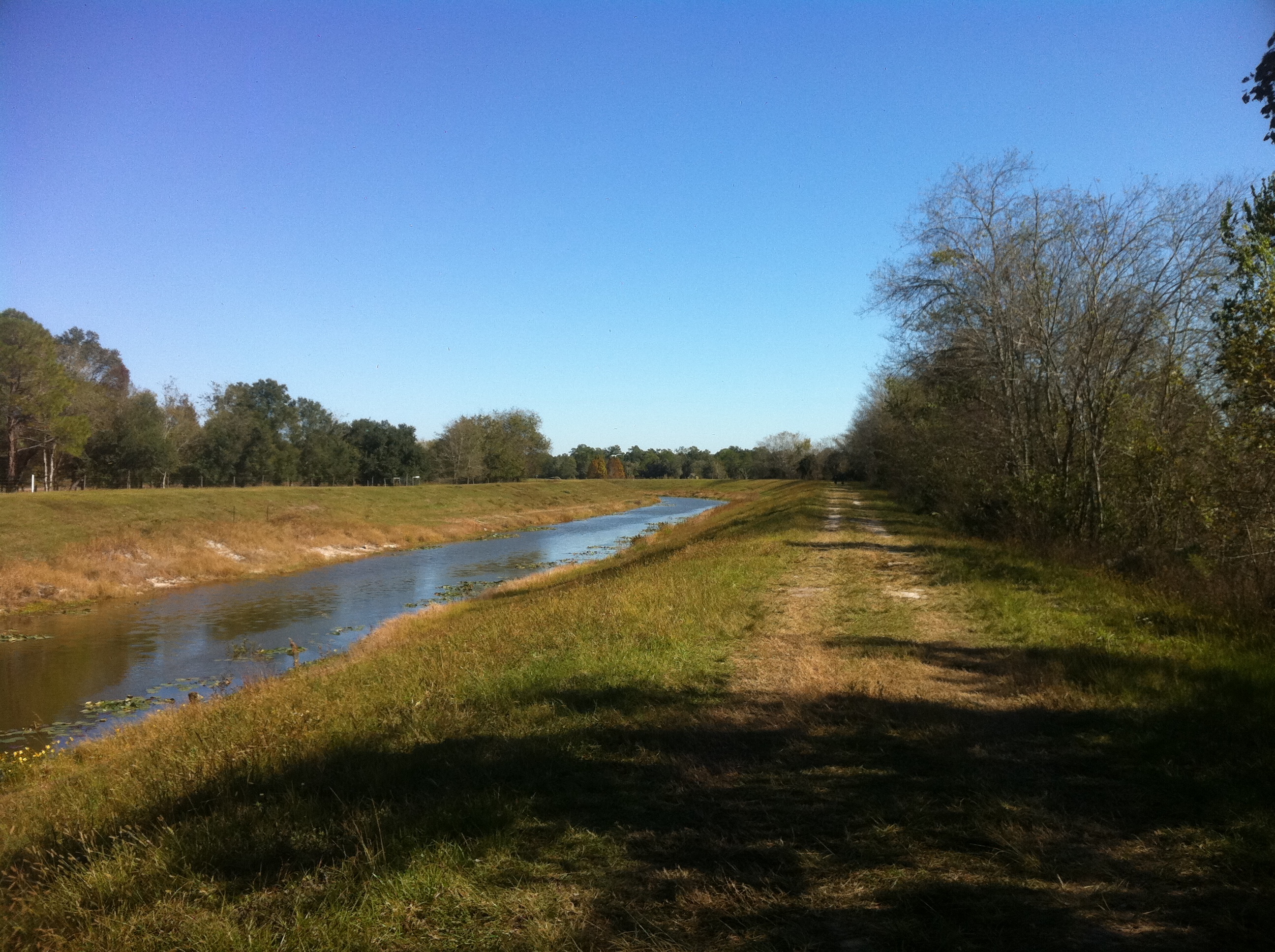
Canal Trail
US90 Columbia Co
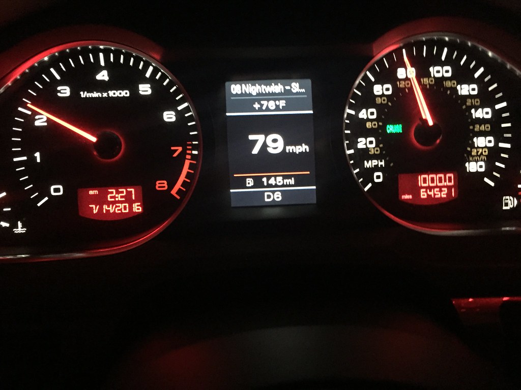
20160714 052542 1SL6

Mount Carrie Wayside 12

Florida Friendly Landscaping Display
Topographic Map of SW Main Blvd, Lake City, FL, USA
Find elevation by address:

Places near SW Main Blvd, Lake City, FL, USA:
384 Sw Deanna Terrace
239 Se Butler Glen
875 Sw Alamo Dr
Southwest Bascom Norris Drive
1115 Sw Jaguar Dr
2529 Fl-47
494 Se Oak St
576 Sw Broderick Dr
792 Se Evergreen Dr
210 Sw Elizabeth Ct
Southeast Hernando Avenue
751 Se Sycamore Terrace
Lake City
North Central Florida Title
331 Sw Kicklighter Terrace
1021 Ne Maple Ln
313 Sw Crest Glen
331 Sw Angela Terrace
6810 W Us Hwy 90
33 US-, Lake City, FL, USA
Recent Searches:
- Elevation of W Granada St, Tampa, FL, USA
- Elevation of Pykes Down, Ivybridge PL21 0BY, UK
- Elevation of Jalan Senandin, Lutong, Miri, Sarawak, Malaysia
- Elevation of Bilohirs'k
- Elevation of 30 Oak Lawn Dr, Barkhamsted, CT, USA
- Elevation of Luther Road, Luther Rd, Auburn, CA, USA
- Elevation of Unnamed Road, Respublika Severnaya Osetiya — Alaniya, Russia
- Elevation of Verkhny Fiagdon, North Ossetia–Alania Republic, Russia
- Elevation of F. Viola Hiway, San Rafael, Bulacan, Philippines
- Elevation of Herbage Dr, Gulfport, MS, USA