Elevation of SW Connors Hwy, Indiantown, FL, USA
Location: United States > Florida > Martin County > Indiantown >
Longitude: -80.604027
Latitude: 27.010918
Elevation: 6m / 20feet
Barometric Pressure: 101KPa
Elevation Map:
Satellite Map:
Related Photos:

Praying Mantis: "OMG. What Is It?"
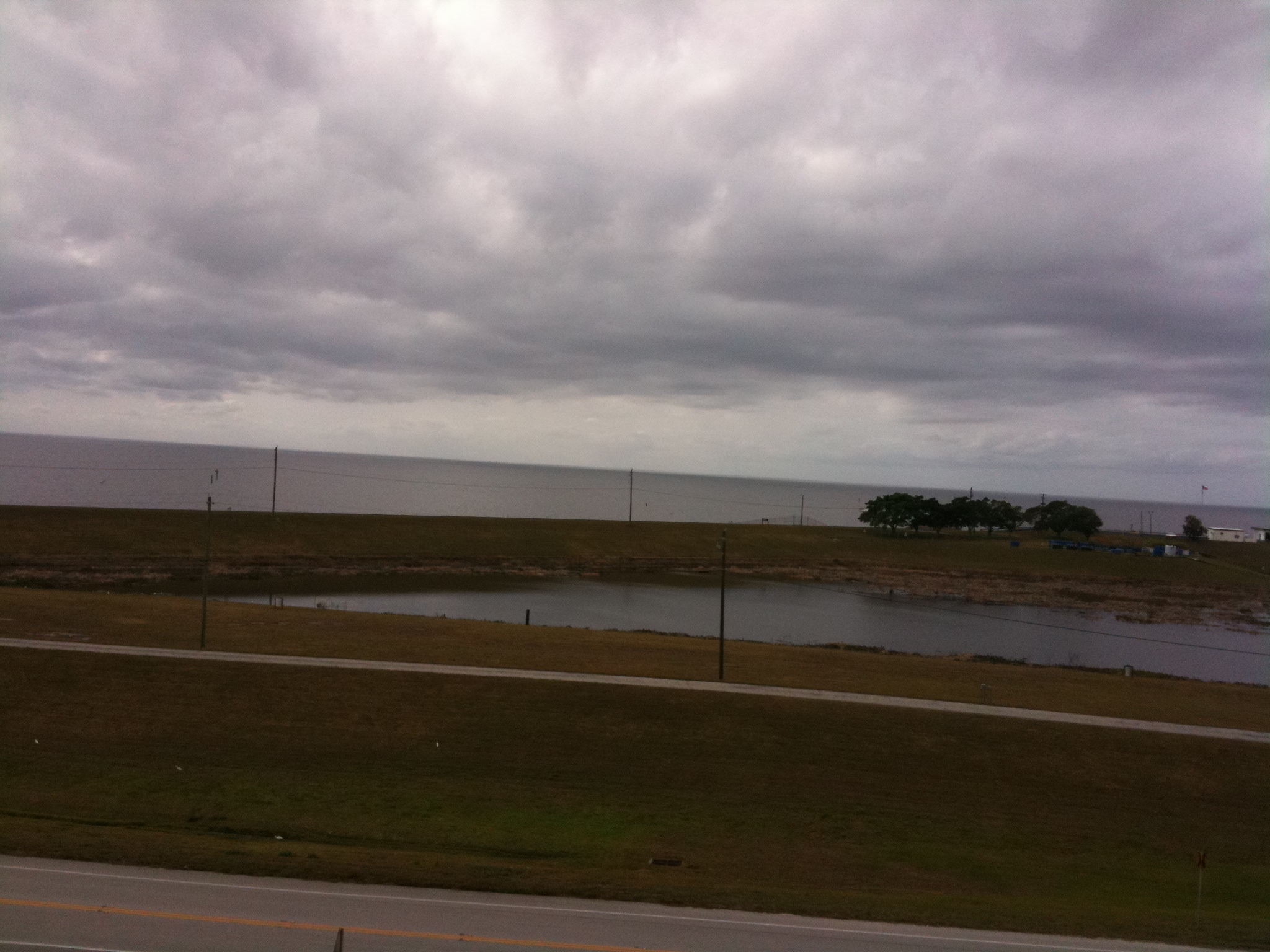
Lake Okeechobee

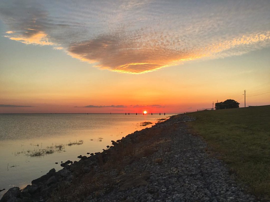
Sunset Over Lake Okeechobee

Gold Sky and Water

Rails to the Horizon
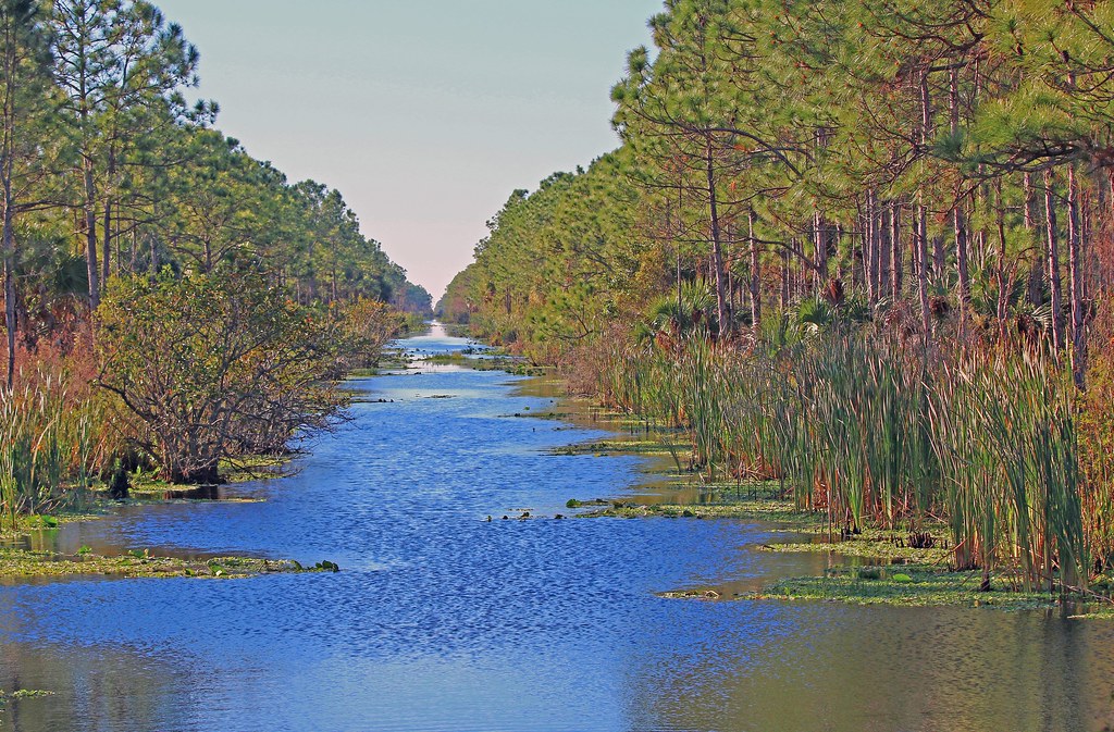
Blue Water Canal

Carolina wren

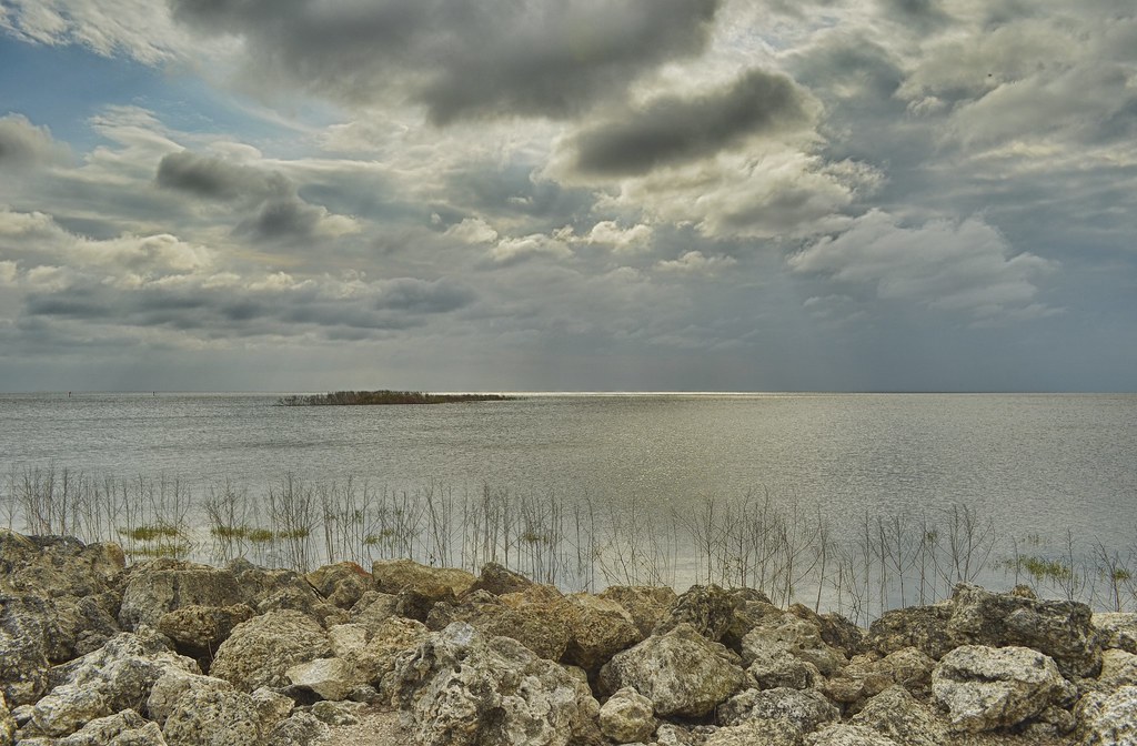
Port Mayaca

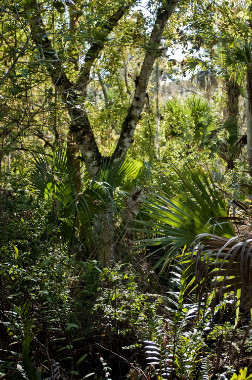
Sabal forest at Dupuis Reserve
Okeechobee Afternoon

2013-10-01 10.36.03
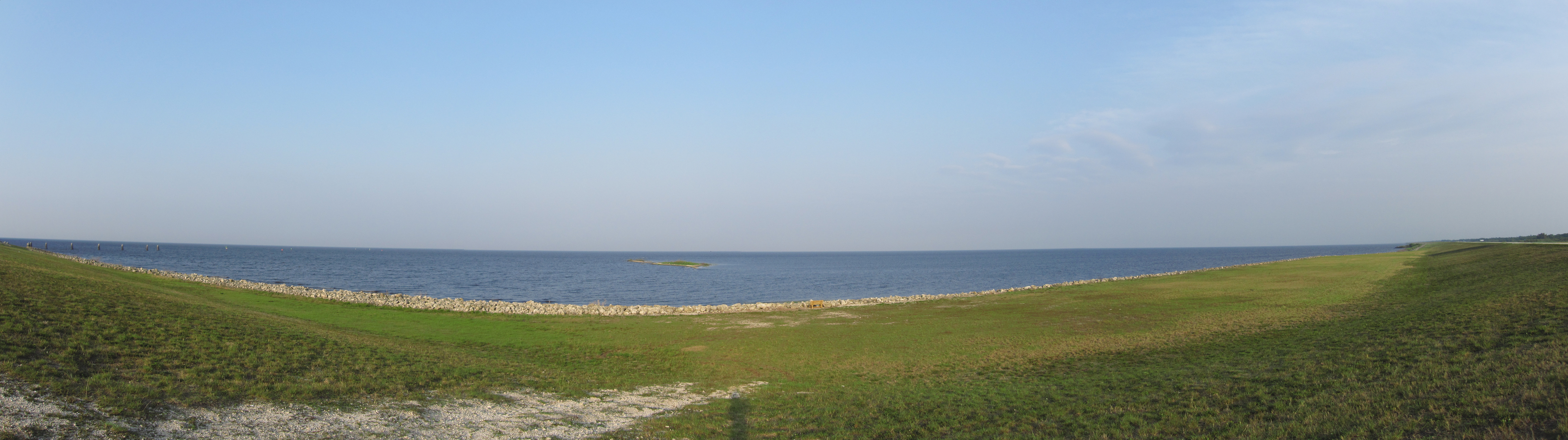
Lake Okeechobee

Oh My Trunk

photo (18)
Forked Tree

Lake Okeechobee
I needed to get out of South Florida for a bit. Good times with @hypergraffic! It'd been too long since we adventured anywhere.

Lock machinery and US 441 bridge near Lake Okeechobee at Port Mayaka

Lake Okeechobee Sunset

Port Mayaca at Lake Okeechobee
Topographic Map of SW Connors Hwy, Indiantown, FL, USA
Find elevation by address:

Places near SW Connors Hwy, Indiantown, FL, USA:
SW Kanner Hwy, Canal Point, FL, USA
21900 Sw Warfield Blvd
Indiantown
E Main St, Canal Point, FL, USA
Canal Point
Lake Okeechobee
270 Banyan Ave
Pahokee
US-, Okeechobee, FL, USA
Martin County
9107 Se 64th Dr
8680 Us-441
SW Citrus Blvd, Palm City, FL, USA
14151 Center St
9807 Sw Pueblo Terrace
545 Se 74th Ave
3801 Se 32nd Ln
SE 38th Ave, Okeechobee, FL, USA
4134 Se 25th Dr
1503 Sw Laredo St
Recent Searches:
- Elevation of W Granada St, Tampa, FL, USA
- Elevation of Pykes Down, Ivybridge PL21 0BY, UK
- Elevation of Jalan Senandin, Lutong, Miri, Sarawak, Malaysia
- Elevation of Bilohirs'k
- Elevation of 30 Oak Lawn Dr, Barkhamsted, CT, USA
- Elevation of Luther Road, Luther Rd, Auburn, CA, USA
- Elevation of Unnamed Road, Respublika Severnaya Osetiya — Alaniya, Russia
- Elevation of Verkhny Fiagdon, North Ossetia–Alania Republic, Russia
- Elevation of F. Viola Hiway, San Rafael, Bulacan, Philippines
- Elevation of Herbage Dr, Gulfport, MS, USA