Elevation of SW 19th St, Gresham, OR, USA
Location: United States > Oregon > Multnomah County > Gresham > Southwest >
Longitude: -122.45363
Latitude: 45.482303
Elevation: 125m / 410feet
Barometric Pressure: 100KPa
Elevation Map:
Satellite Map:
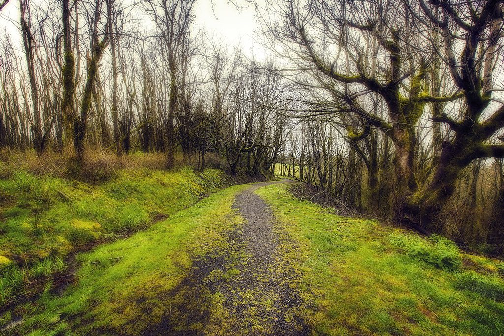
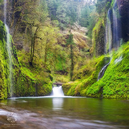
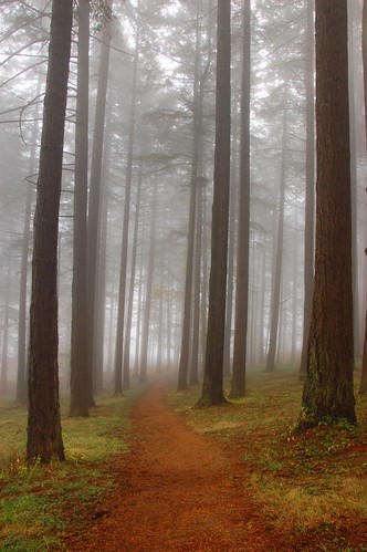
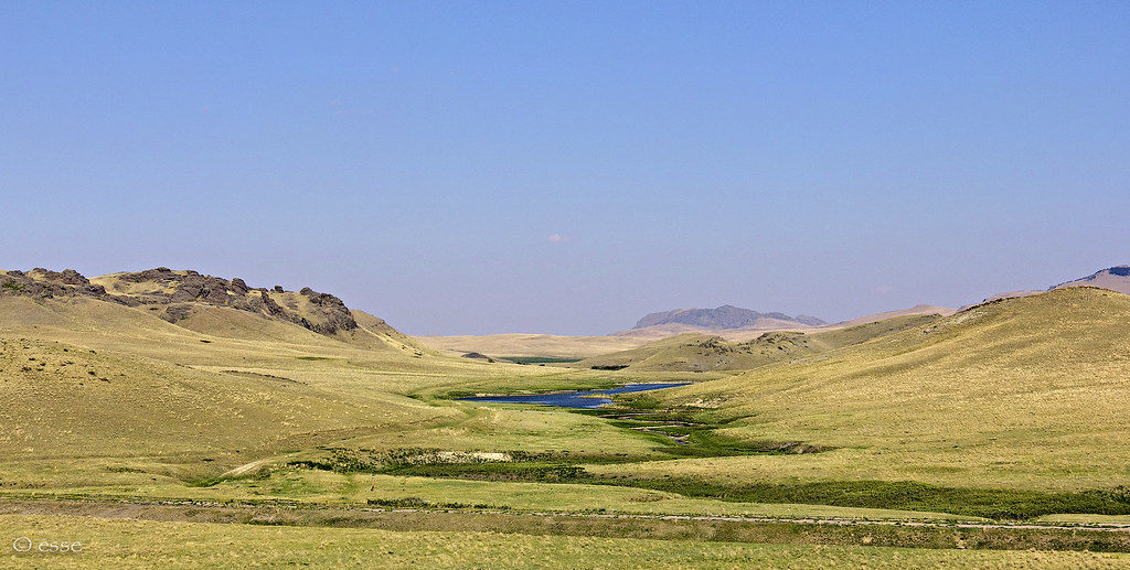
Related Photos:

balancing act

Jonsrud take 2

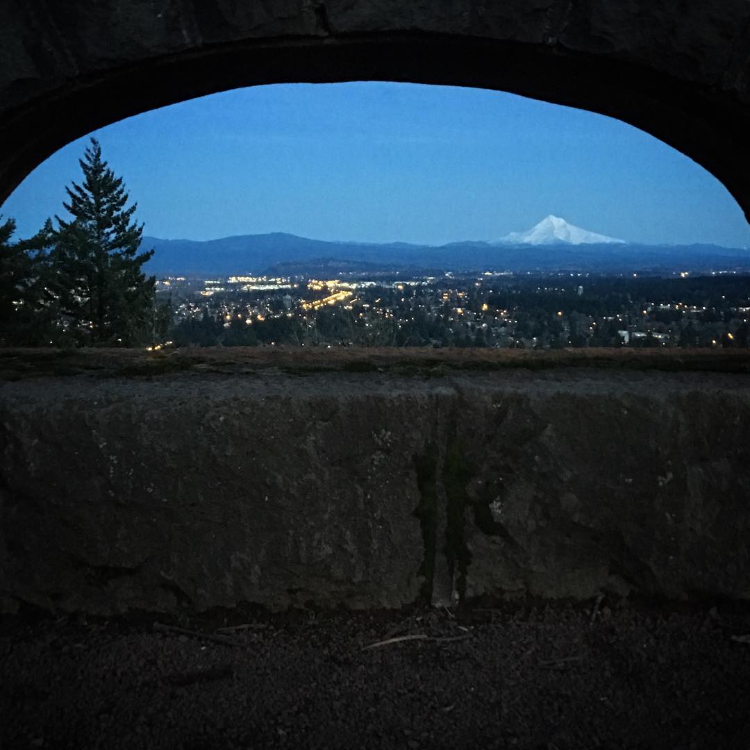
best view in the house
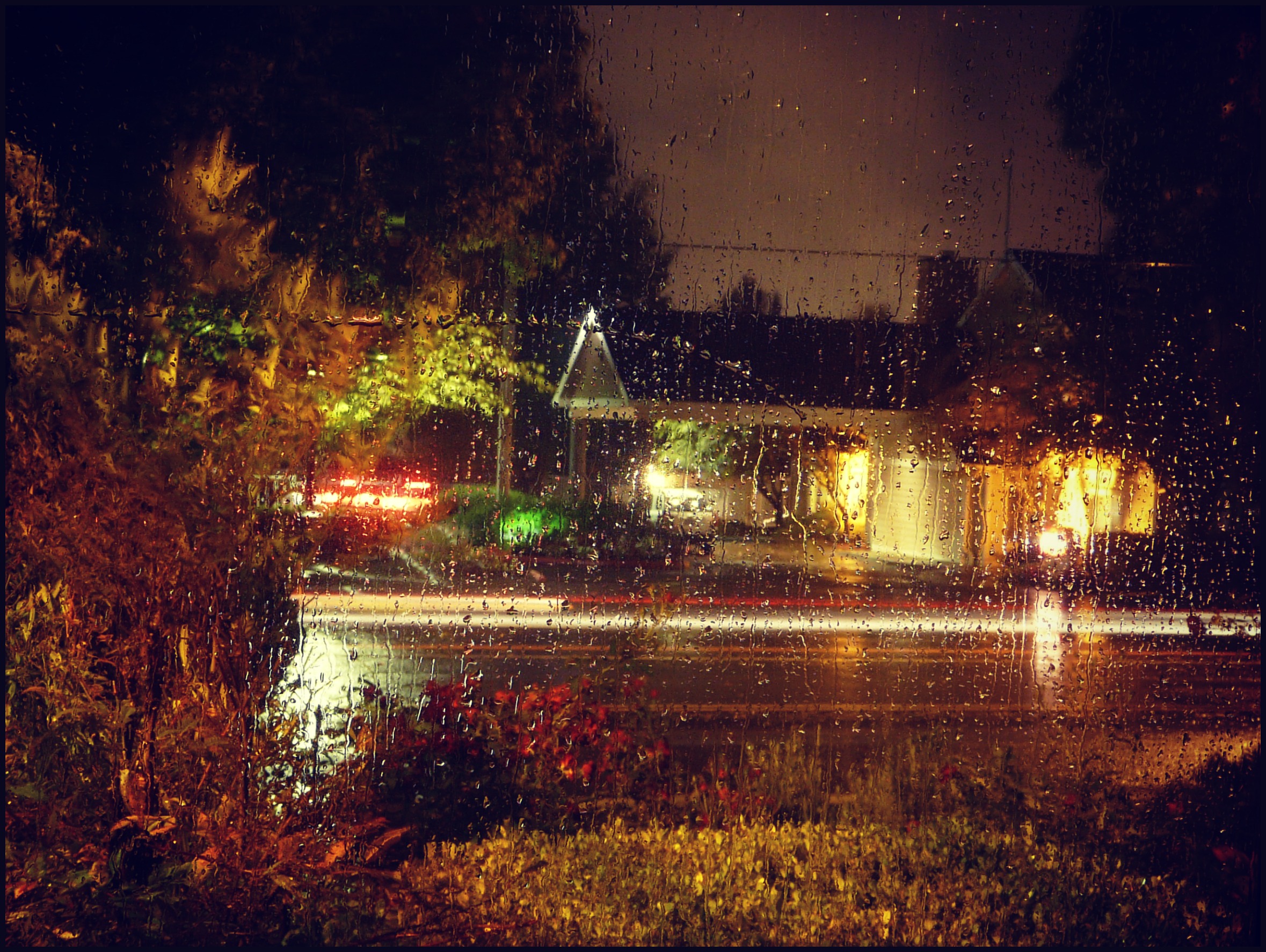
View out the front window on a rainy night
Just being a tourist

Diagonal Dots 7

Spokane Portland And Seattle 700 at Oaks Park
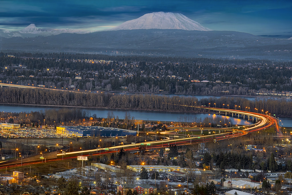
I-205 Blue Hour

One last chance for lavender pollen
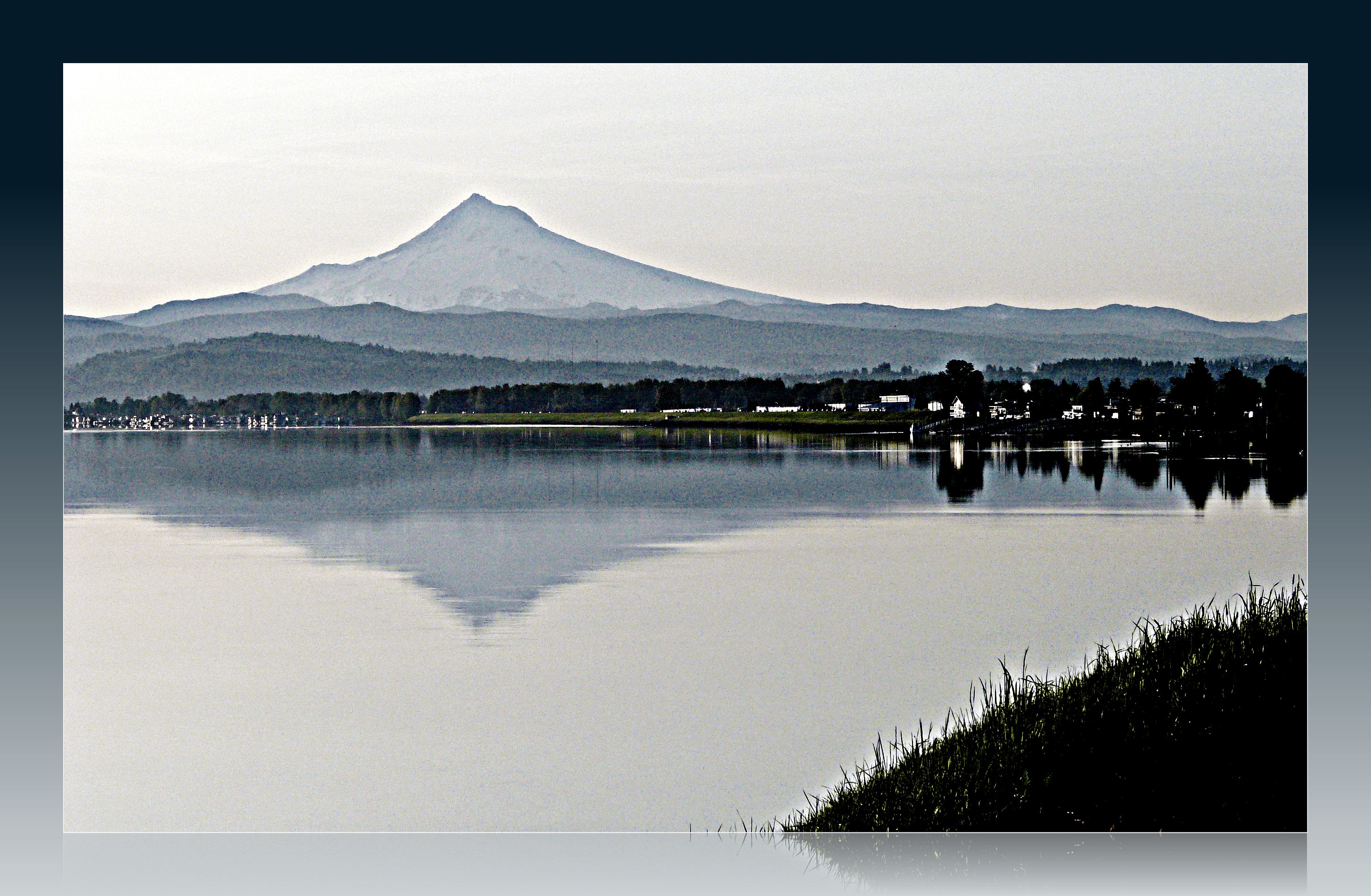
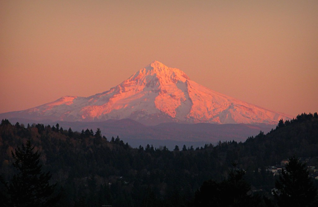
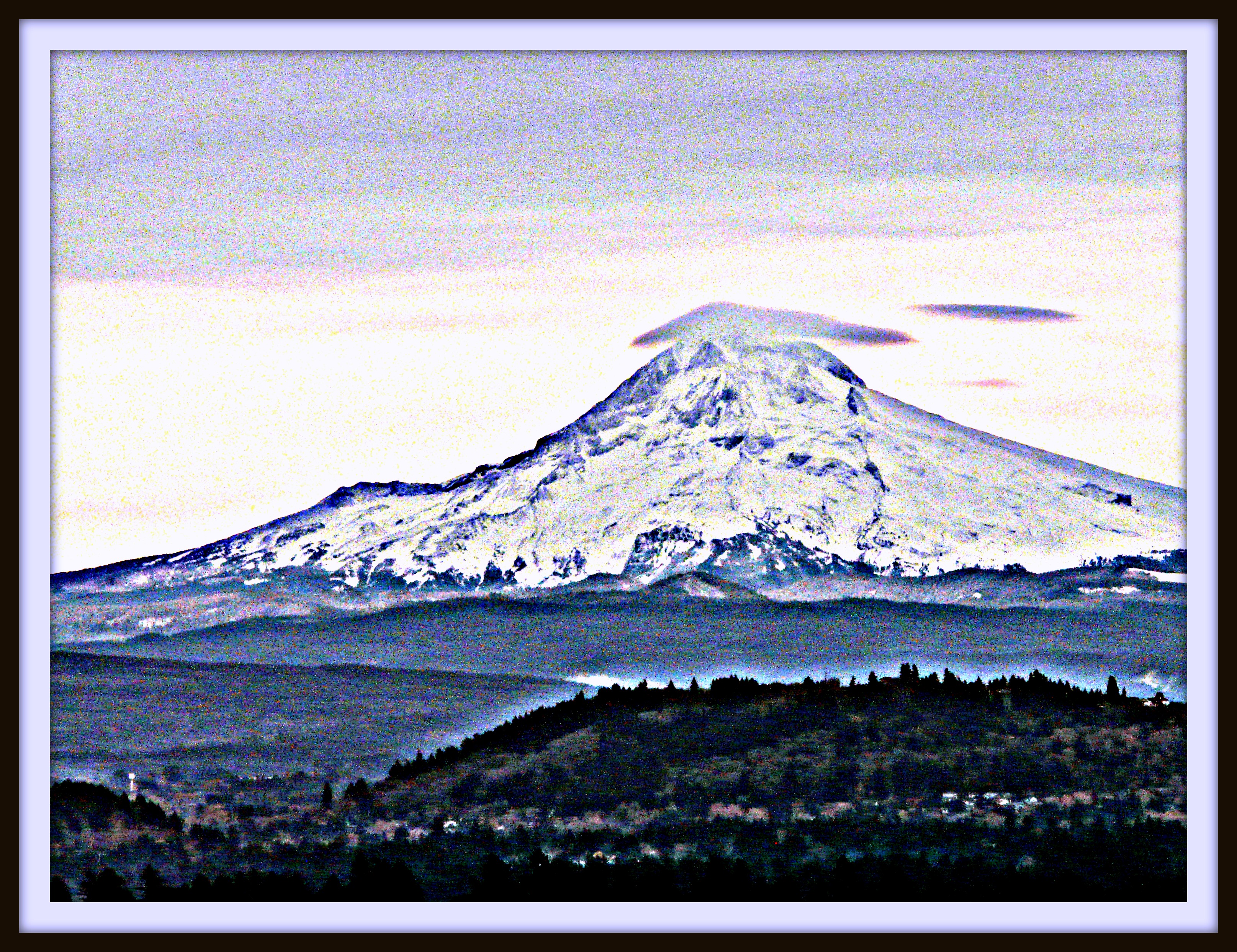
Just another spectacular Mount Hood view
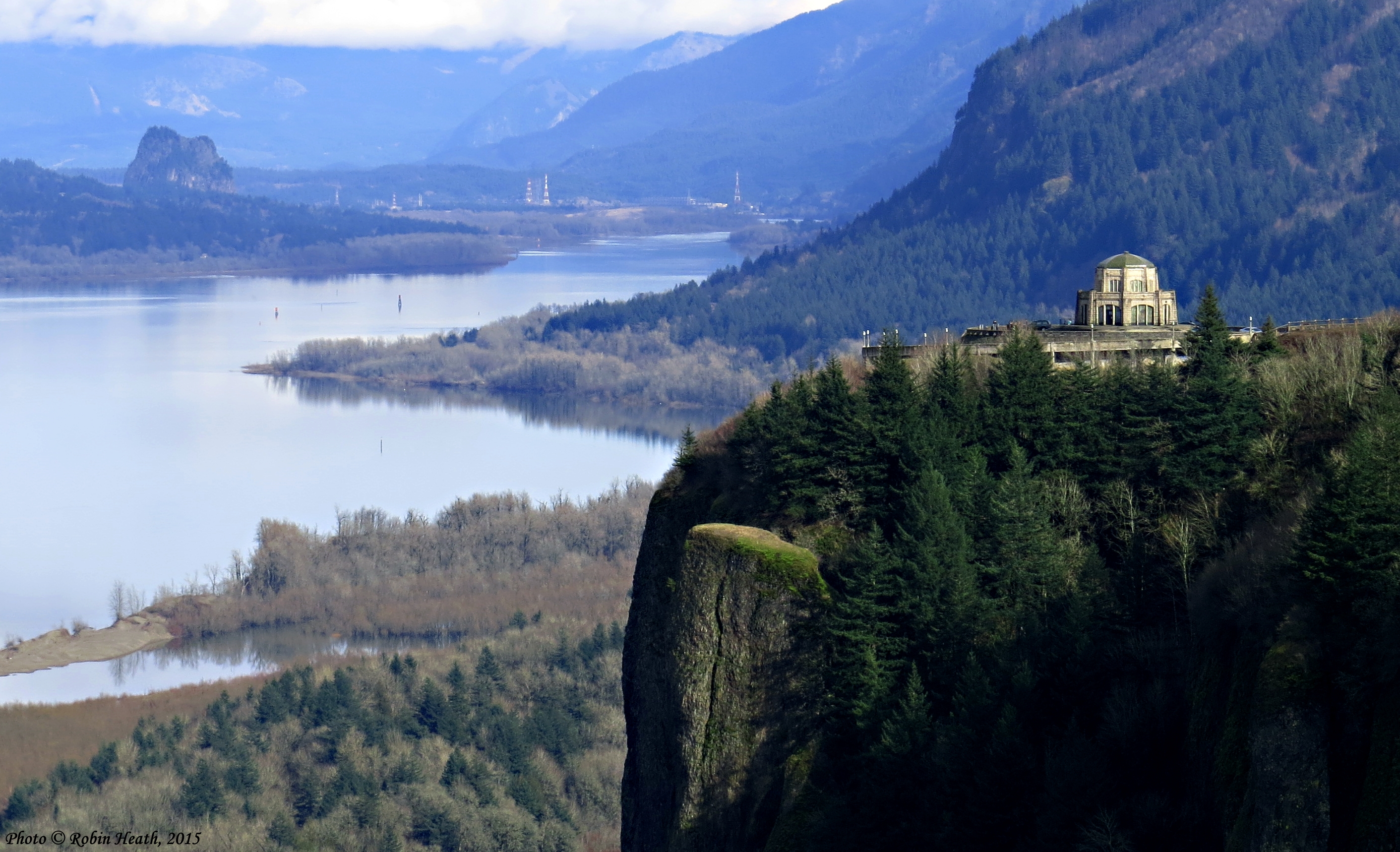
Crown Point & Vista House

No, You Can't Touch It...
Send Me Home

Reading light

The view from the bottom as we set out. #nofilter
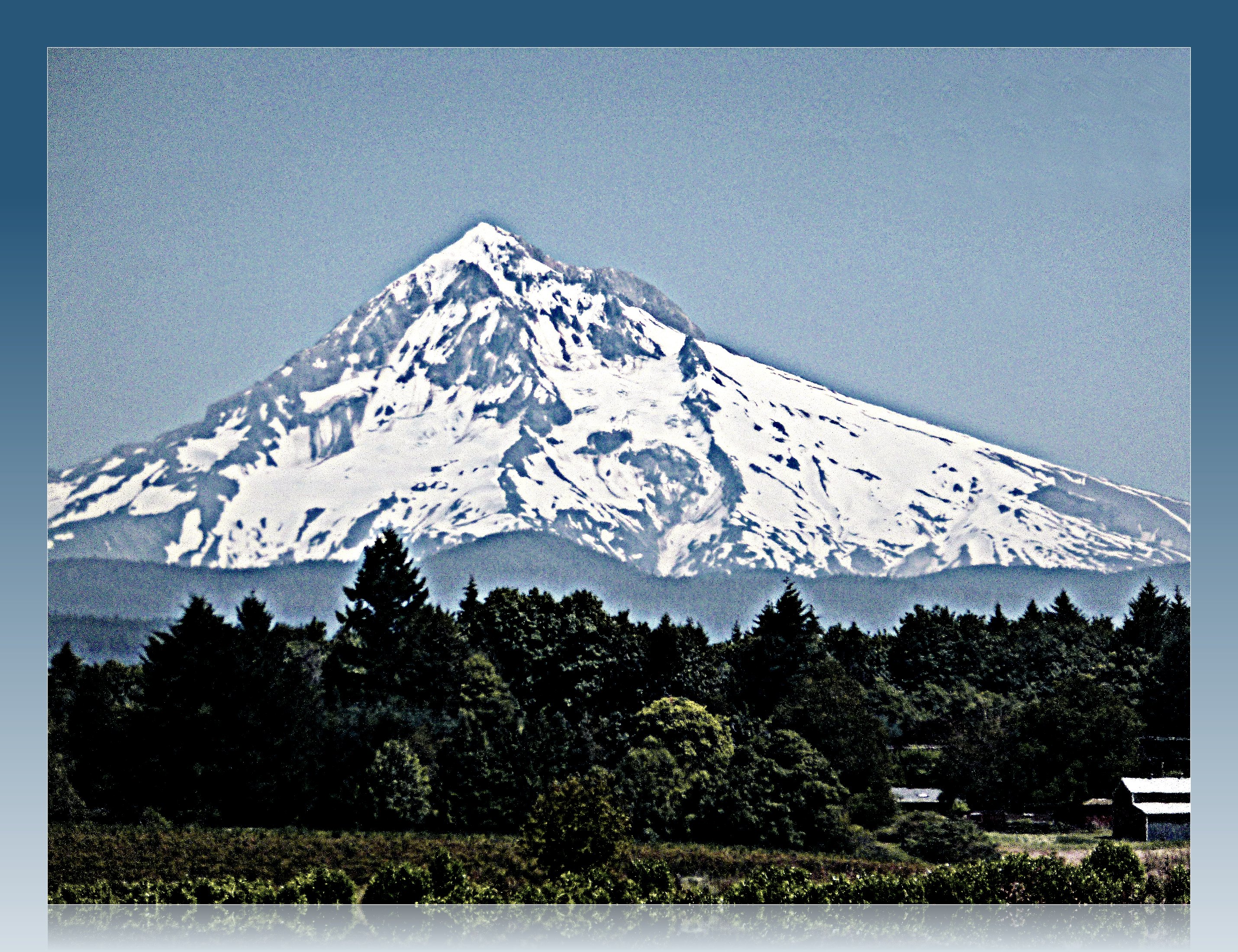
Perfect Mountain View
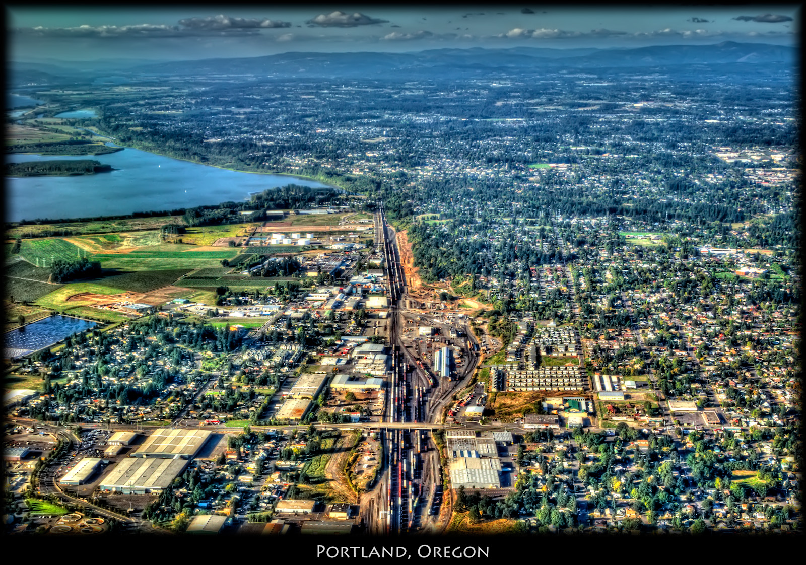
Portland, Oregon
Missing the Point
#view #tree #mountain
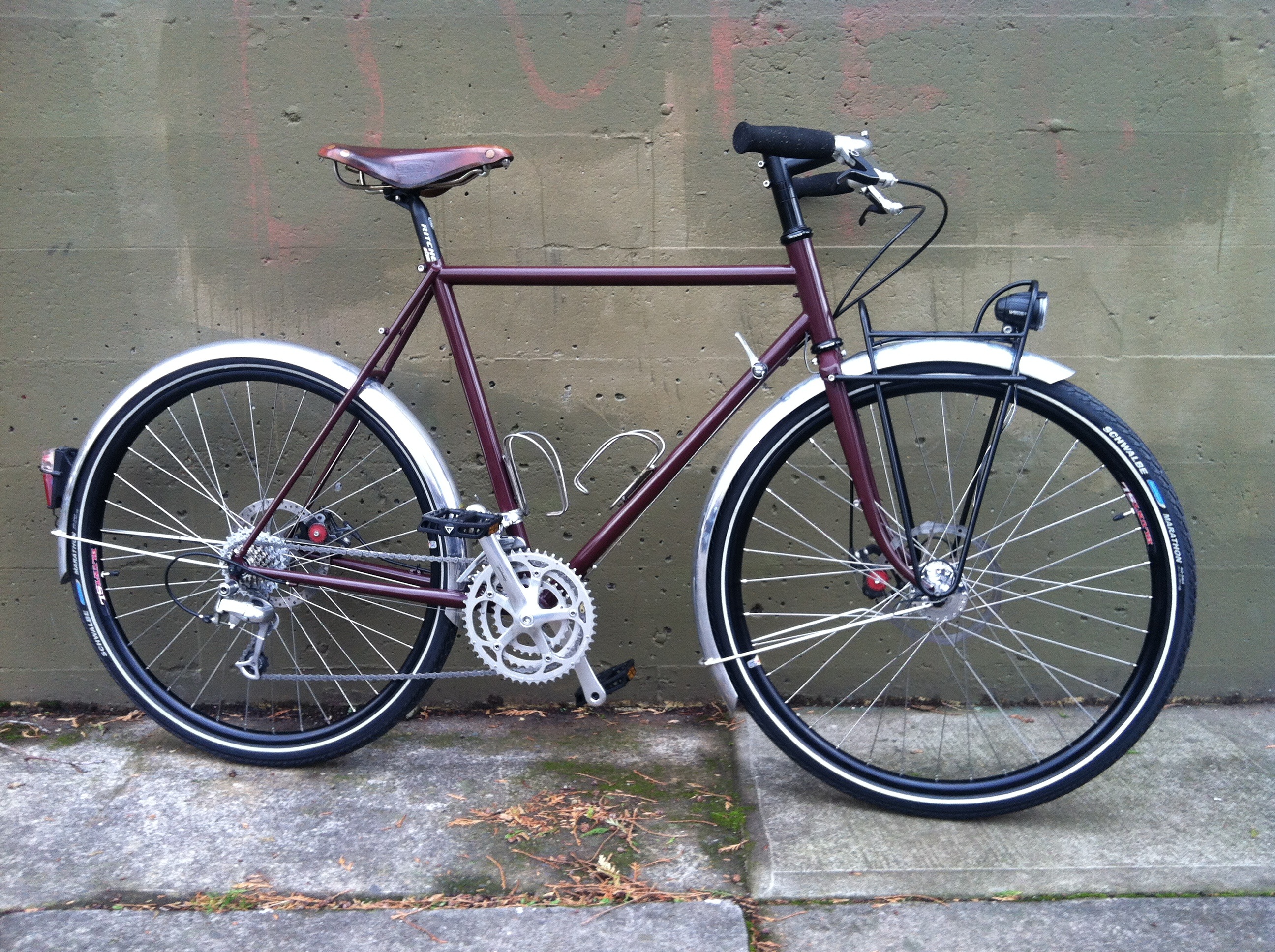
Side view
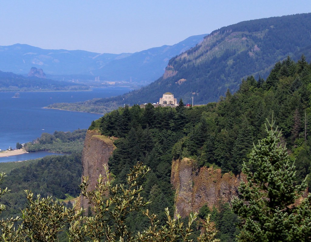
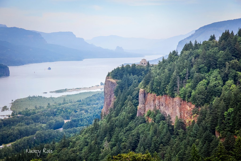
Crown Point, Columbia River Gorge
Broad is the Way that Leadeth to Destruction
When I first saw an image of this place by Chip Phillips I said to myself I had to get there. When I finally found myself standing there after drawing on my years of map reading and navigation skills and getting through the narrow gorge with chest deep fr

... late afternoon sun brightens the tall weeds [in urban wetlands] ...

Vista's Morning Break

Beacon Rock and Vista House

The Columbia River begins its journey in the Canadian Rockies and finds its way down into Washington and Oregon where it flows past the northern slopes of Mt Hood. There are many tributaries flowing off those slopes where high rainfall feeds a lush forest

Mt. Hood seen from the top of Powell Butte.

6/6
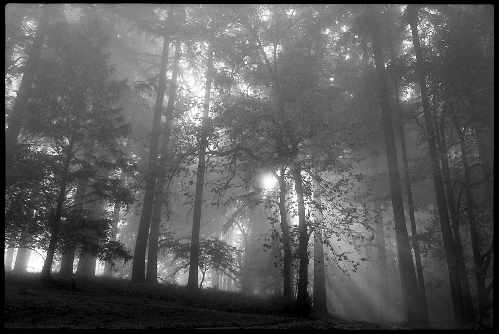
Into the fog

Sunset in Motion

gray/green

Woodstock Park #5
il fiume va (sa dove andare)
Nature Trail Sunbeams IV, SE Portland

Snow-capped moon-rise
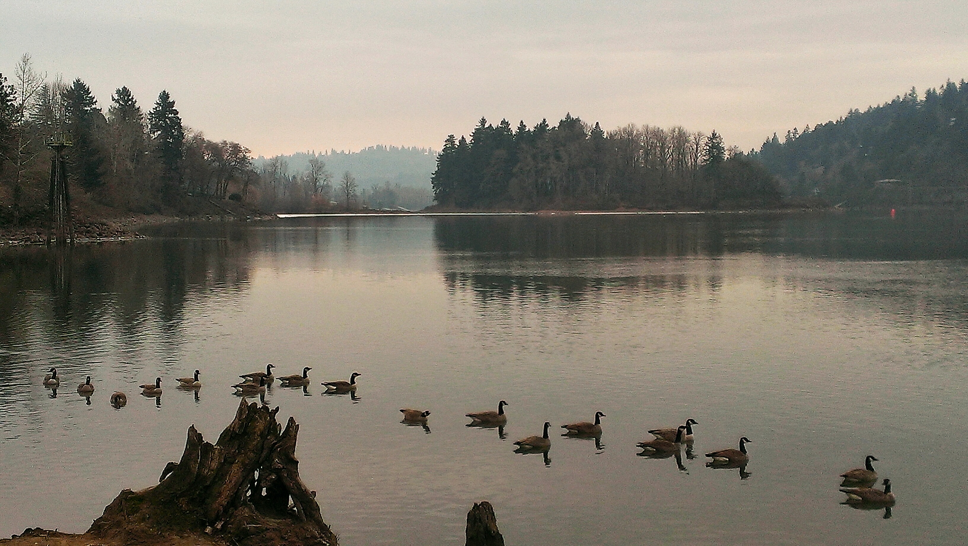
All of my ducks..err geese..in a row (Explore 12/10/13)

Snow-capped moon-rise

Elk Rock island park,OR,USA

Emerald & Sapphire

vast open skies
Topographic Map of SW 19th St, Gresham, OR, USA
Find elevation by address:

Places near SW 19th St, Gresham, OR, USA:
2446 Sw 30th Ct
2118 Sw Willow Pkwy
2126 Sw Eastwood Ave
2054 Sw 33rd St
3031 Sw 23rd St
2942 Sw Willow Pkwy
Southwest
3101 Sw Willow Pkwy
3320 Sw Binford Way
2507 Sw Sandlewood Ave
3533 Sw 25th St
4085 Sw Emerald Ln
2453 Sw 43rd St
2331 Sw Hartley Ave
3142 Sw 33rd St
1817 Sw Royal Ave
Southwest Phyllis Avenue
3850 Sw 30th Dr
4011 Sw 22nd Dr
4040 Sw 19th St
Recent Searches:
- Elevation of Zu den Ihlowbergen, Althüttendorf, Germany
- Elevation of Badaber, Peshawar, Khyber Pakhtunkhwa, Pakistan
- Elevation of SE Heron Loop, Lincoln City, OR, USA
- Elevation of Slanický ostrov, 01 Námestovo, Slovakia
- Elevation of Spaceport America, Co Rd A, Truth or Consequences, NM, USA
- Elevation of Warwick, RI, USA
- Elevation of Fern Rd, Whitmore, CA, USA
- Elevation of 62 Abbey St, Marshfield, MA, USA
- Elevation of Fernwood, Bradenton, FL, USA
- Elevation of Felindre, Swansea SA5 7LU, UK