Elevation map of Sveitarfélagið Skagafjörður, Iceland
Location: Iceland >
Longitude: -18.978643
Latitude: 65.132236
Elevation: 733m / 2405feet
Barometric Pressure: 93KPa
Elevation Map:
Satellite Map:
Related Photos:
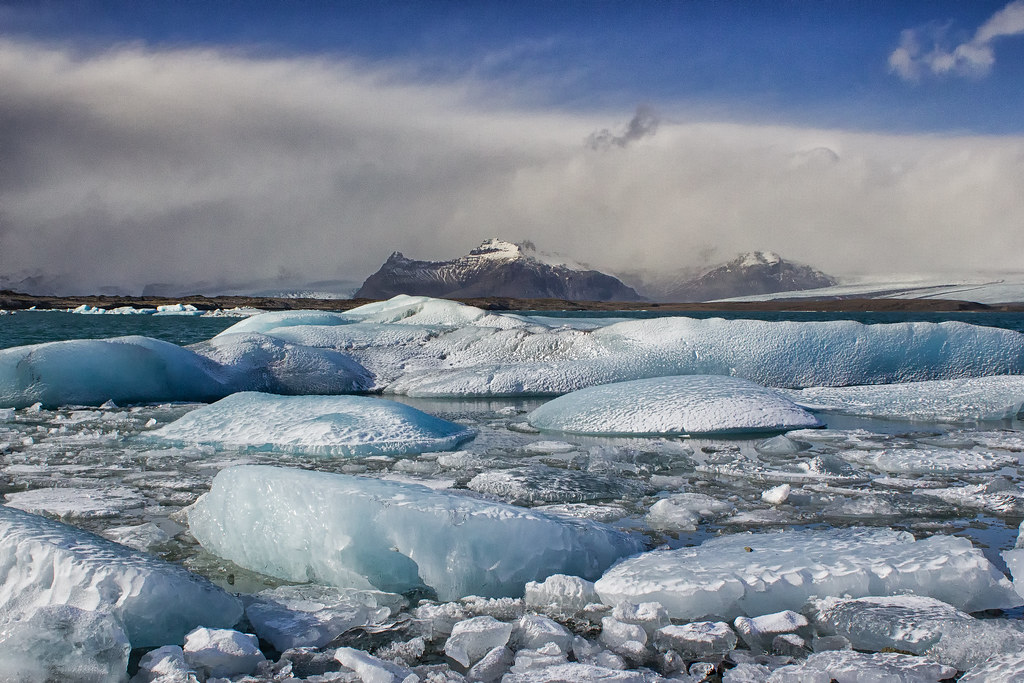
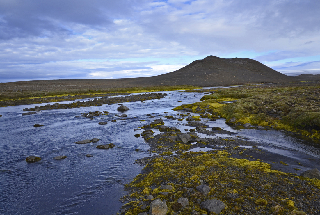
IMG_4417-Edit-Edit-Edit-Edit.jpg
IMG_4332-Edit-Edit-Edit-Edit.jpg

230608-0001.jpg

2014 - Iceland (March)

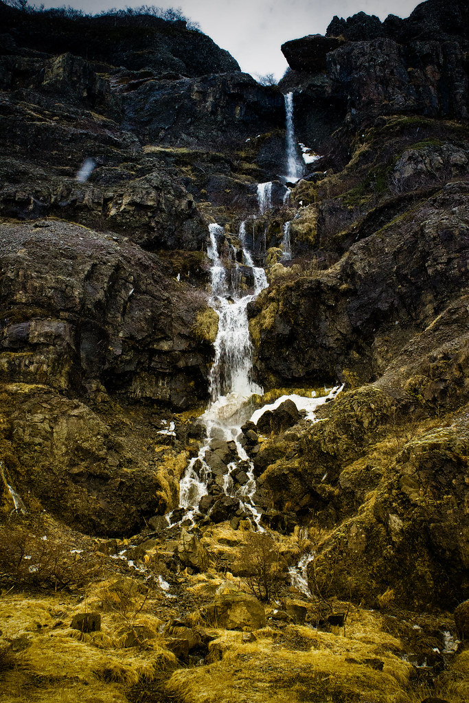
IMG_4265-Edit-Edit-Edit-Edit.jpg

2014 - Iceland (March)
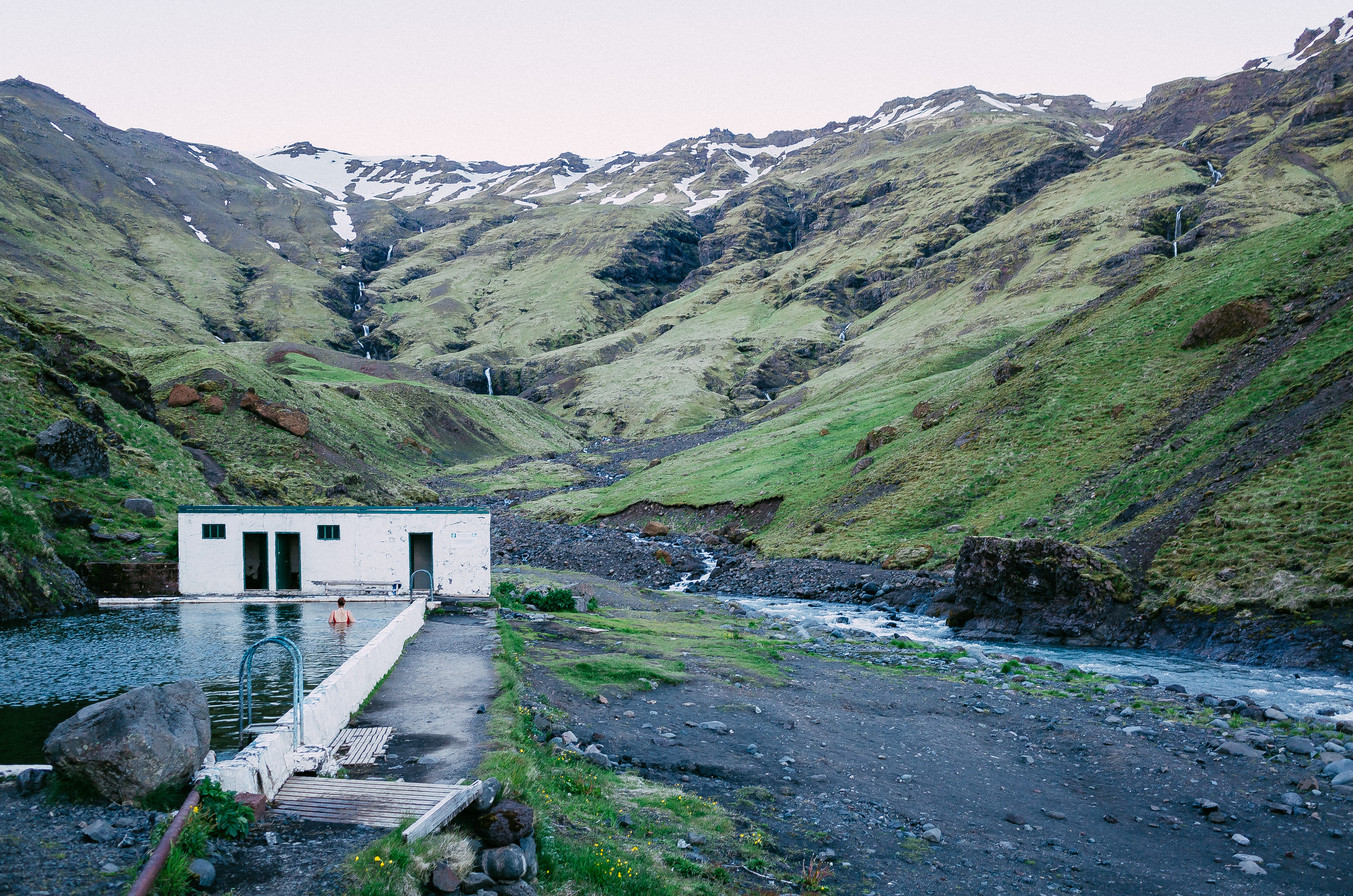
Iceland: Seljavallalaug

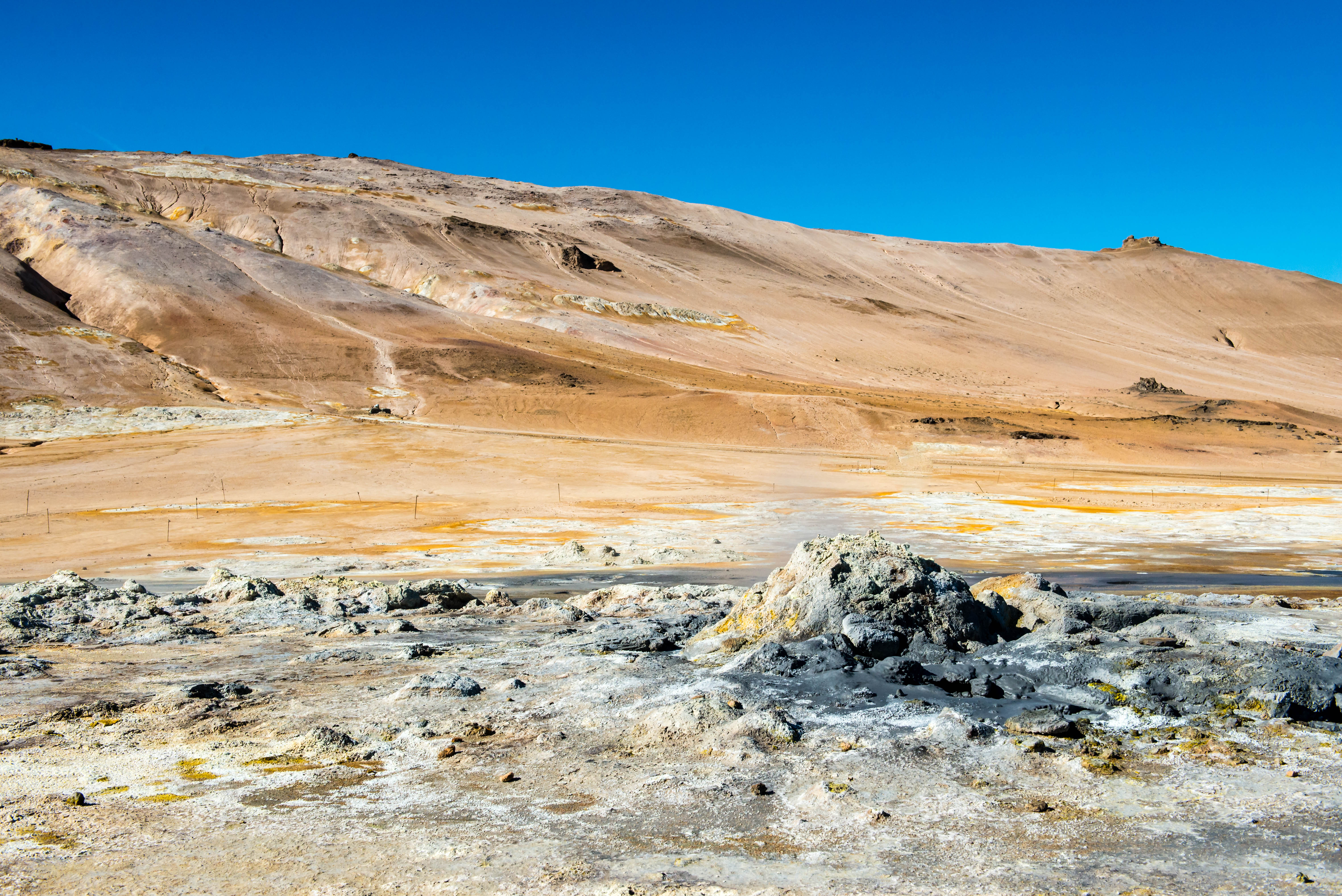
Geo Thermal Vent
Active Iceland
Eyfirðingahólar
Topographic Map of Sveitarfélagið Skagafjörður, Iceland
Find elevation by address:

Places in Sveitarfélagið Skagafjörður, Iceland:
Places near Sveitarfélagið Skagafjörður, Iceland:
Recent Searches:
- Elevation of 6 Rue Jules Ferry, Beausoleil, France
- Elevation of Sattva Horizon, 4JC6+G9P, Vinayak Nagar, Kattigenahalli, Bengaluru, Karnataka, India
- Elevation of Great Brook Sports, Gold Star Hwy, Groton, CT, USA
- Elevation of 10 Mountain Laurels Dr, Nashua, NH, USA
- Elevation of 16 Gilboa Ln, Nashua, NH, USA
- Elevation of Laurel Rd, Townsend, TN, USA
- Elevation of 3 Nestling Wood Dr, Long Valley, NJ, USA
- Elevation of Ilungu, Tanzania
- Elevation of Yellow Springs Road, Yellow Springs Rd, Chester Springs, PA, USA
- Elevation of Rēzekne Municipality, Latvia