Elevation of Svanisträskvägen 17, 92 Boden, Sweden
Location: Sweden > Norrbotten County > Boden N >
Longitude: 21.1977364
Latitude: 66.1212827
Elevation: 177m / 581feet
Barometric Pressure: 99KPa
Elevation Map:
Satellite Map:
Related Photos:
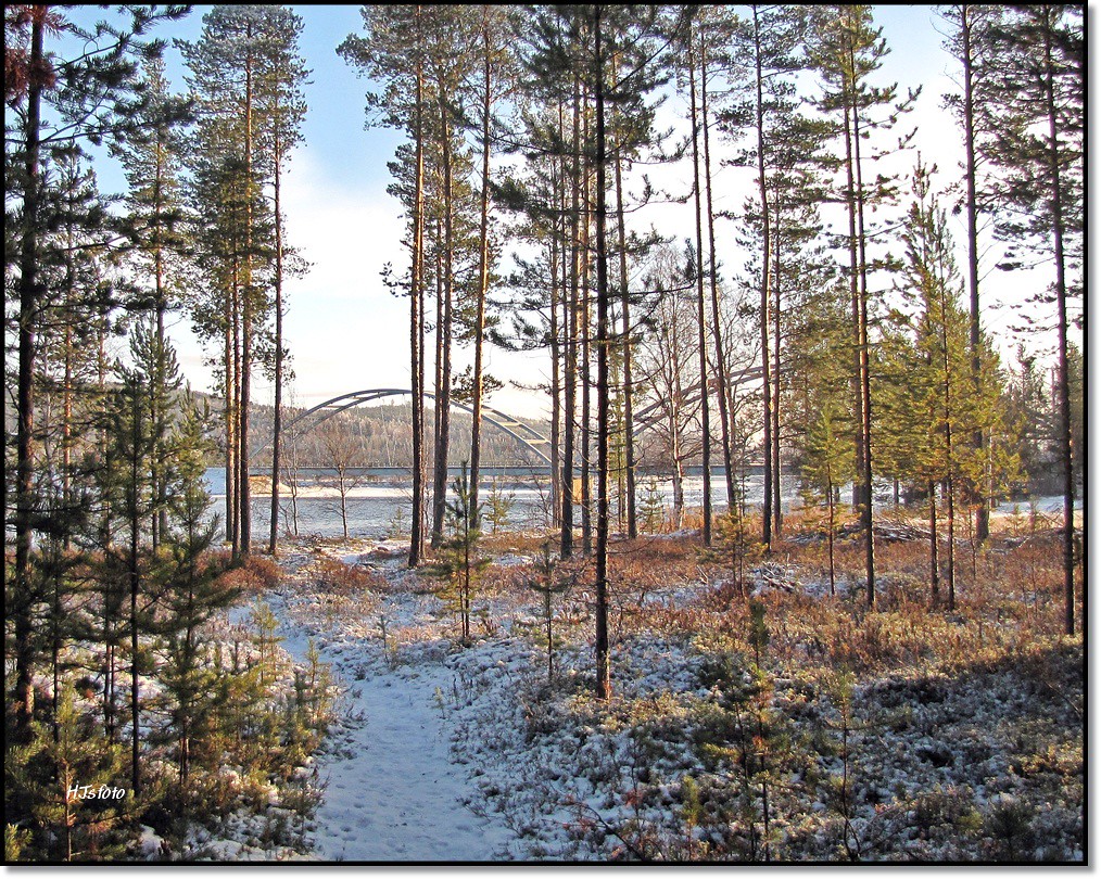
The Harads bridge
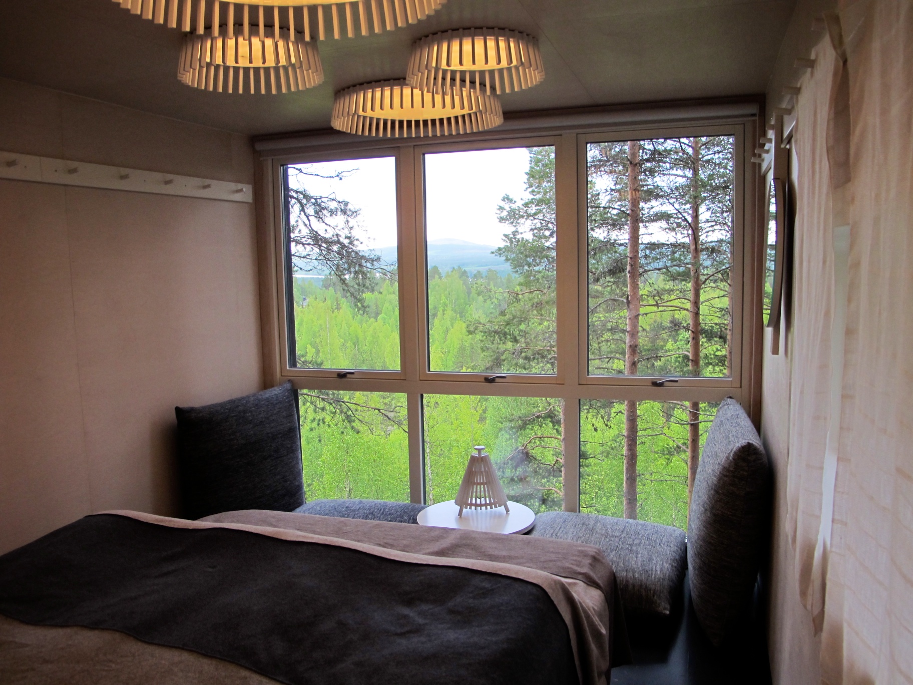
the cabin view

Sounds eye view

Golden Sand

Night Masquerade

Early Morning Mist

Gathering Of The Birches

Forms And Shapes

Deeper Down

Alien Intrusion
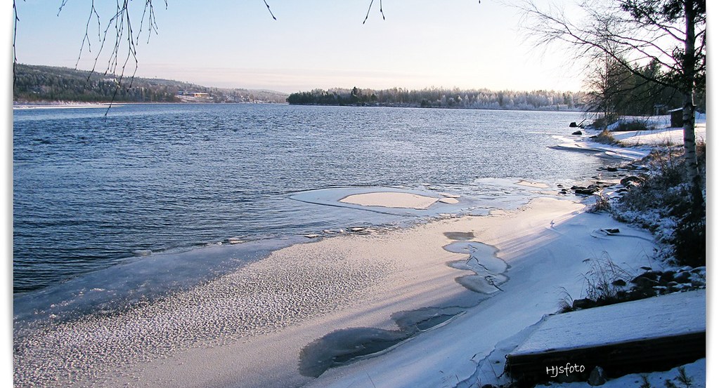
New ice on Lule Älv

The Blue Cube
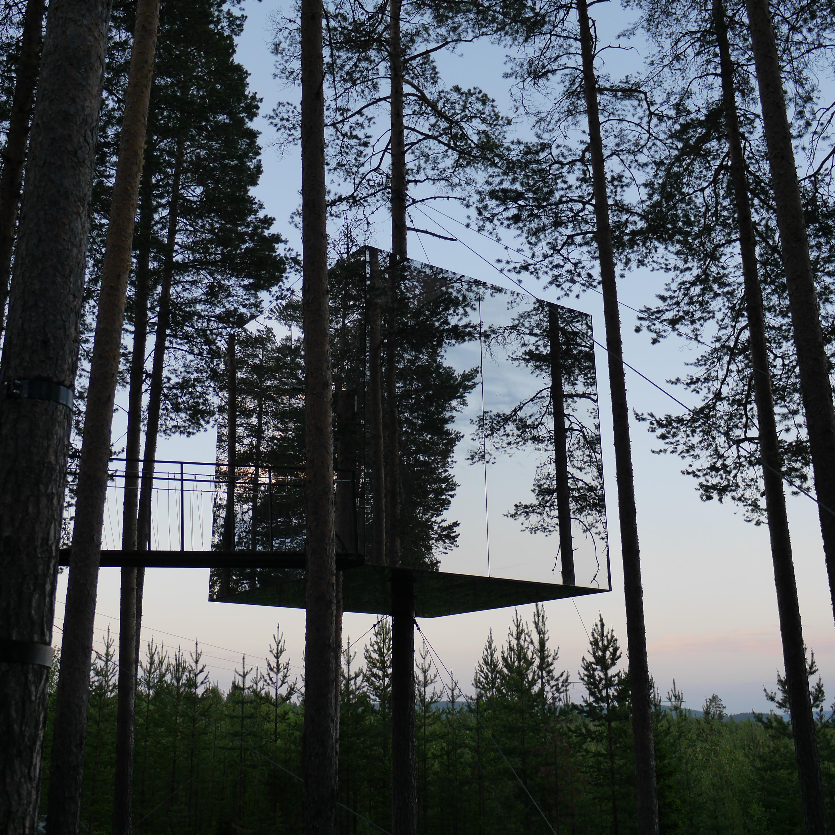
Harads, The Mirrorcube
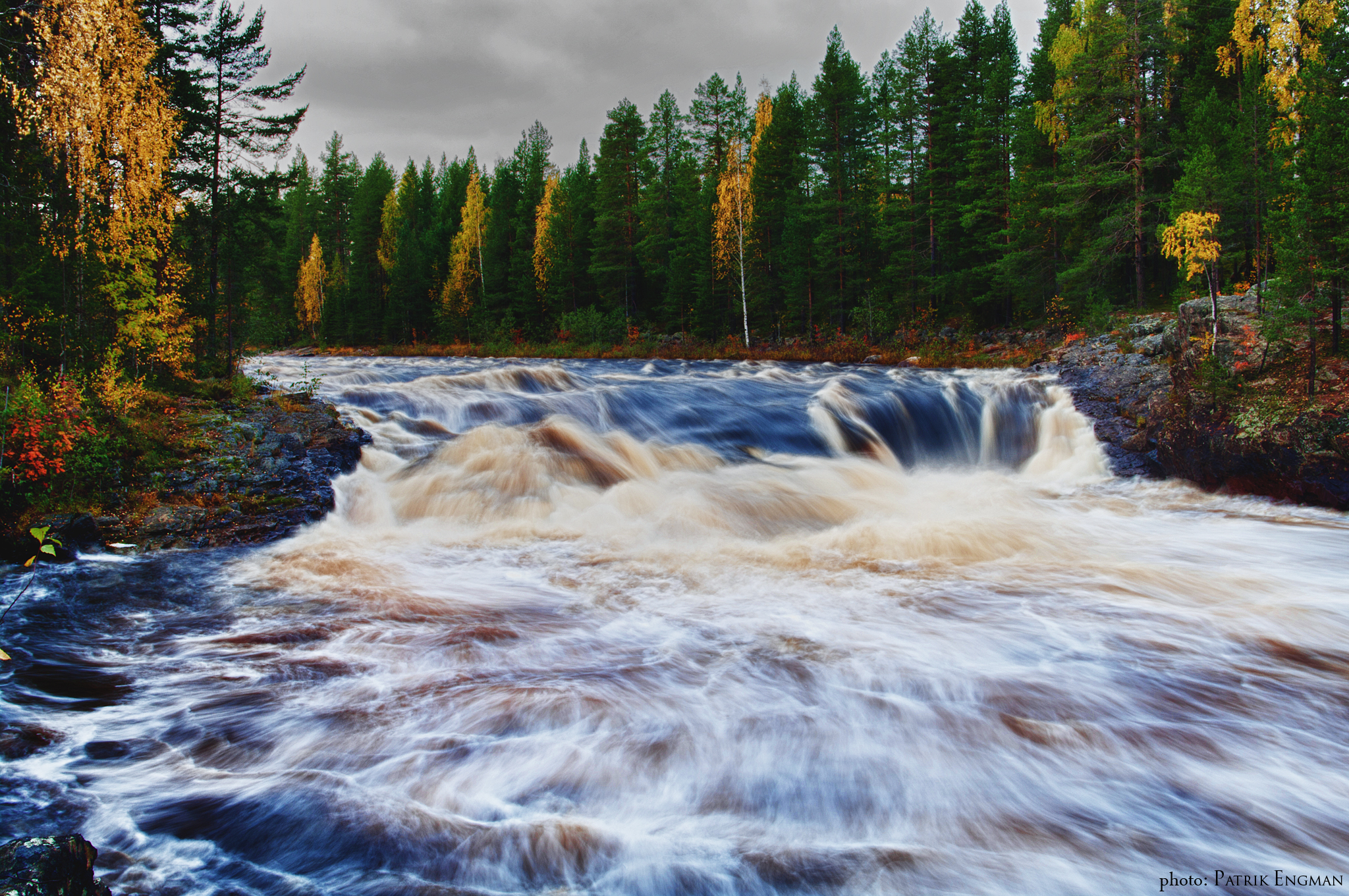
Brändbergsfallet

Solar Wonders

Beyond The Sea Of Reeds

The Majesty Of The Night Sky

For To End Yet Again

The Green Wave

Tree Hotel, Harads, Norrbotten County, Sweden

Misty Sun

Darker Light

Autumn Gold
Topographic Map of Svanisträskvägen 17, 92 Boden, Sweden
Find elevation by address:

Places near Svanisträskvägen 17, 92 Boden, Sweden:
Boden N
Tallberg, 99 Råneå, Sweden
Tallberg
Dokkas
Långsel 20, 99 Råneå, Sweden
Överkalix V
Naisjärv
Recent Searches:
- Elevation of Congressional Dr, Stevensville, MD, USA
- Elevation of Bellview Rd, McLean, VA, USA
- Elevation of Stage Island Rd, Chatham, MA, USA
- Elevation of Shibuya Scramble Crossing, 21 Udagawacho, Shibuya City, Tokyo -, Japan
- Elevation of Jadagoniai, Kaunas District Municipality, Lithuania
- Elevation of Pagonija rock, Kranto 7-oji g. 8"N, Kaunas, Lithuania
- Elevation of Co Rd 87, Jamestown, CO, USA
- Elevation of Tenjo, Cundinamarca, Colombia
- Elevation of Côte-des-Neiges, Montreal, QC H4A 3J6, Canada
- Elevation of Bobcat Dr, Helena, MT, USA