Elevation of Sutherland, South Africa
Location: South Africa > Northern Cape > Namakwa > Fraserburg >
Longitude: 20.670528
Latitude: -32.410097
Elevation: 1539m / 5049feet
Barometric Pressure: 84KPa
Elevation Map:
Satellite Map:
Related Photos:

SALT Telescope

Stargazing in Sutherland

Night view of Perlman House Restaurant and Pub with full moon peaking over the roof and the local pub goers vehicles outside
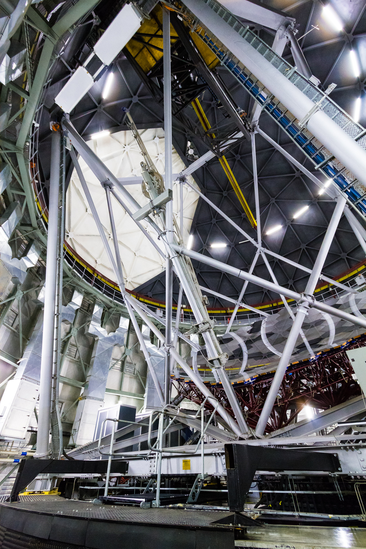
Southern African Large Telescope - Dish and Roof
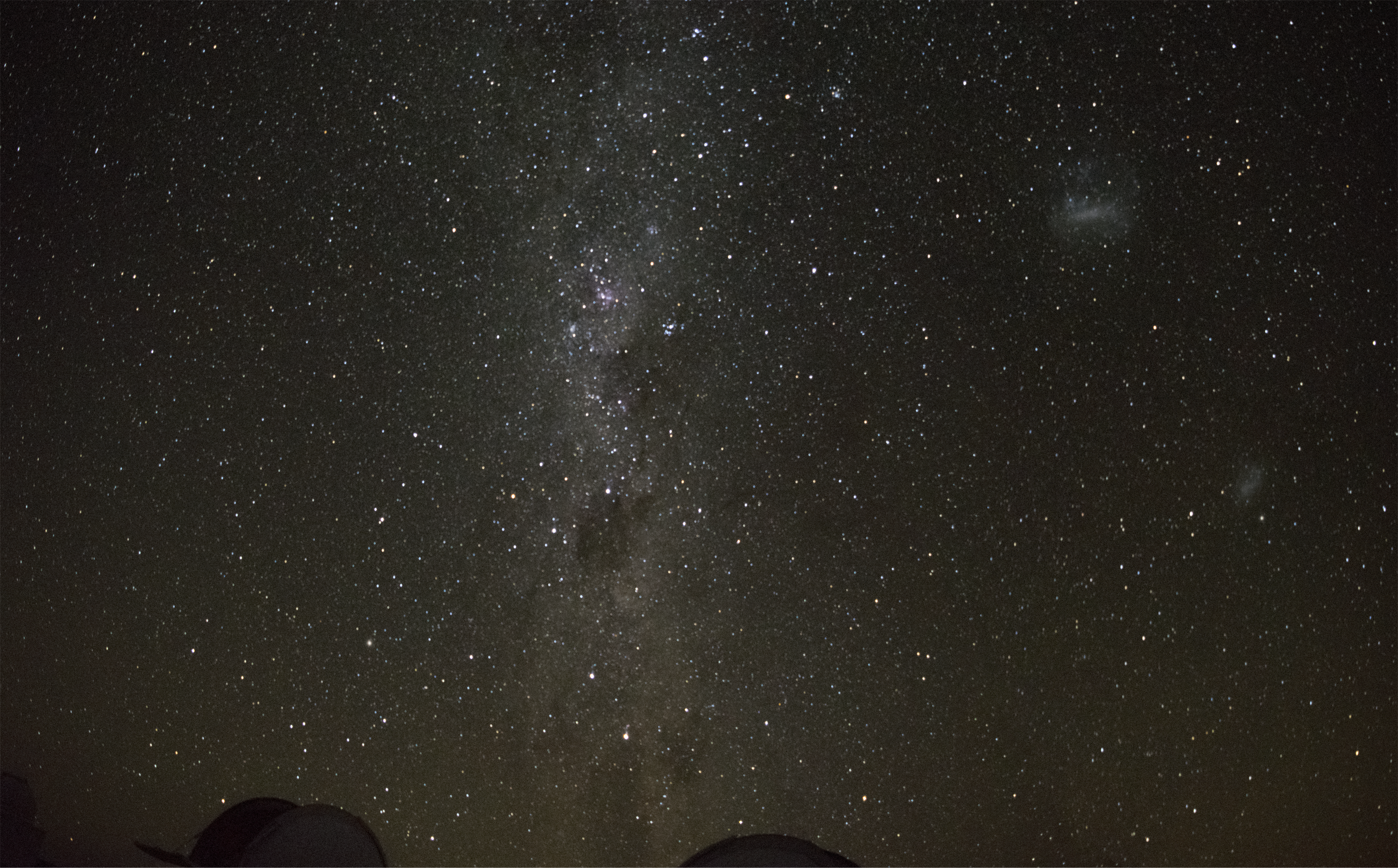
Southern Stars
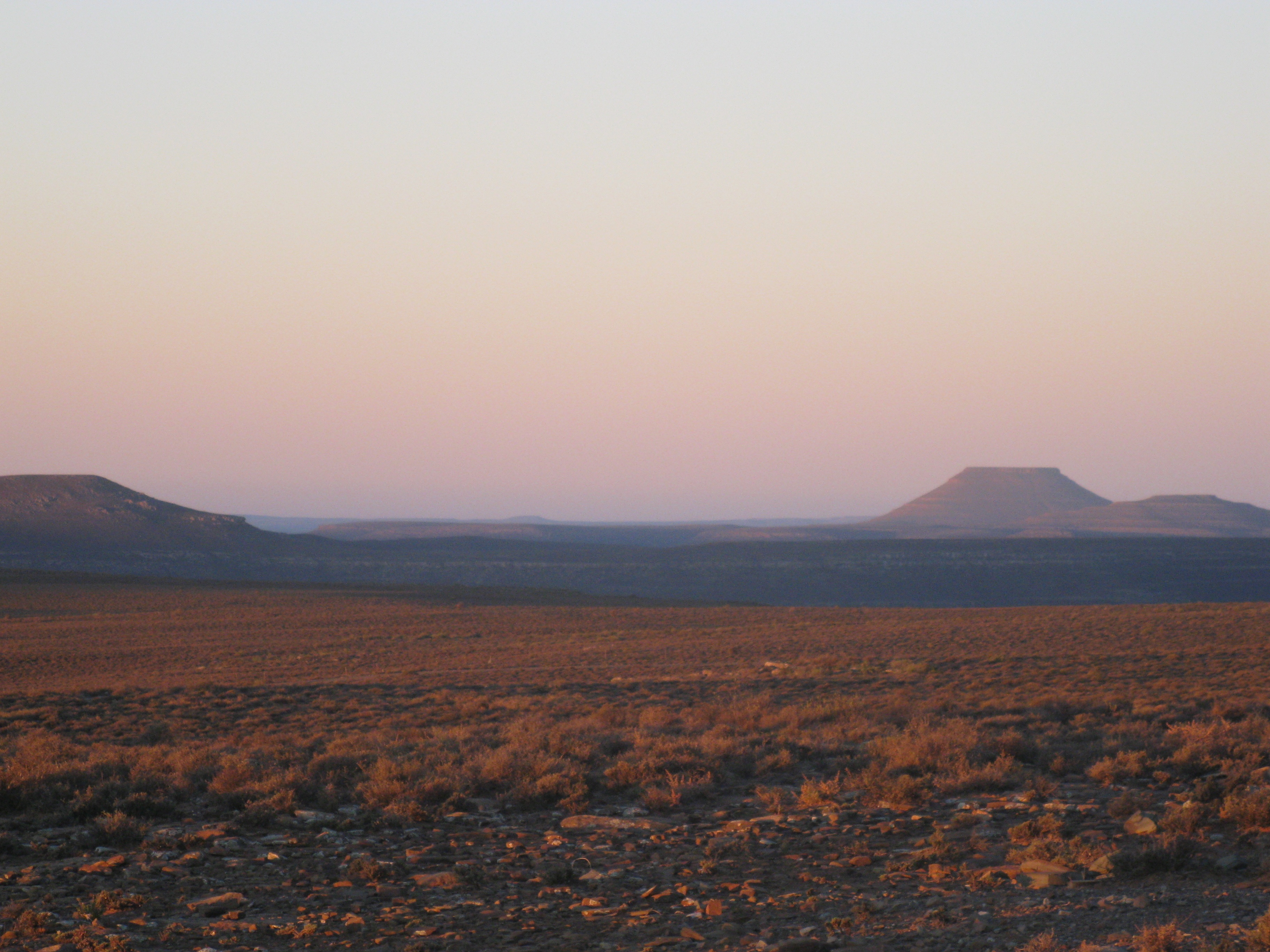
The Broad Karoo

Ceres to Sutherland

Camp lighting

K&C @ West Coast National Park, ZA
Topographic Map of Sutherland, South Africa
Find elevation by address:

Places near Sutherland, South Africa:
Recent Searches:
- Elevation of Corso Fratelli Cairoli, 35, Macerata MC, Italy
- Elevation of Tallevast Rd, Sarasota, FL, USA
- Elevation of 4th St E, Sonoma, CA, USA
- Elevation of Black Hollow Rd, Pennsdale, PA, USA
- Elevation of Oakland Ave, Williamsport, PA, USA
- Elevation of Pedrógão Grande, Portugal
- Elevation of Klee Dr, Martinsburg, WV, USA
- Elevation of Via Roma, Pieranica CR, Italy
- Elevation of Tavkvetili Mountain, Georgia
- Elevation of Hartfords Bluff Cir, Mt Pleasant, SC, USA