Elevation of Surry, ME, USA
Location: United States > Maine > Hancock County >
Longitude: -68.501687
Latitude: 44.4959099
Elevation: 18m / 59feet
Barometric Pressure: 101KPa
Elevation Map:
Satellite Map:
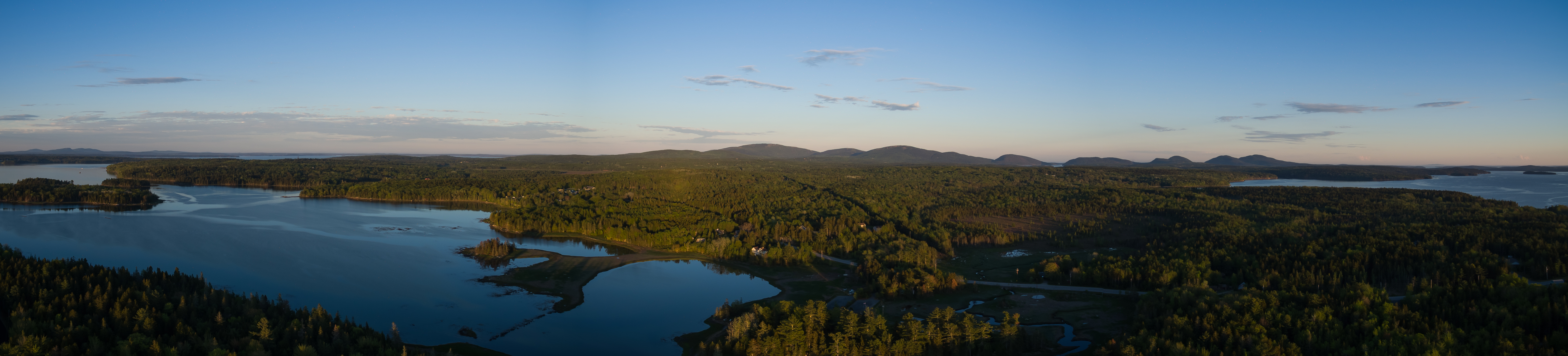
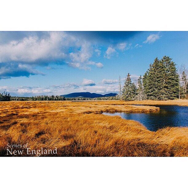
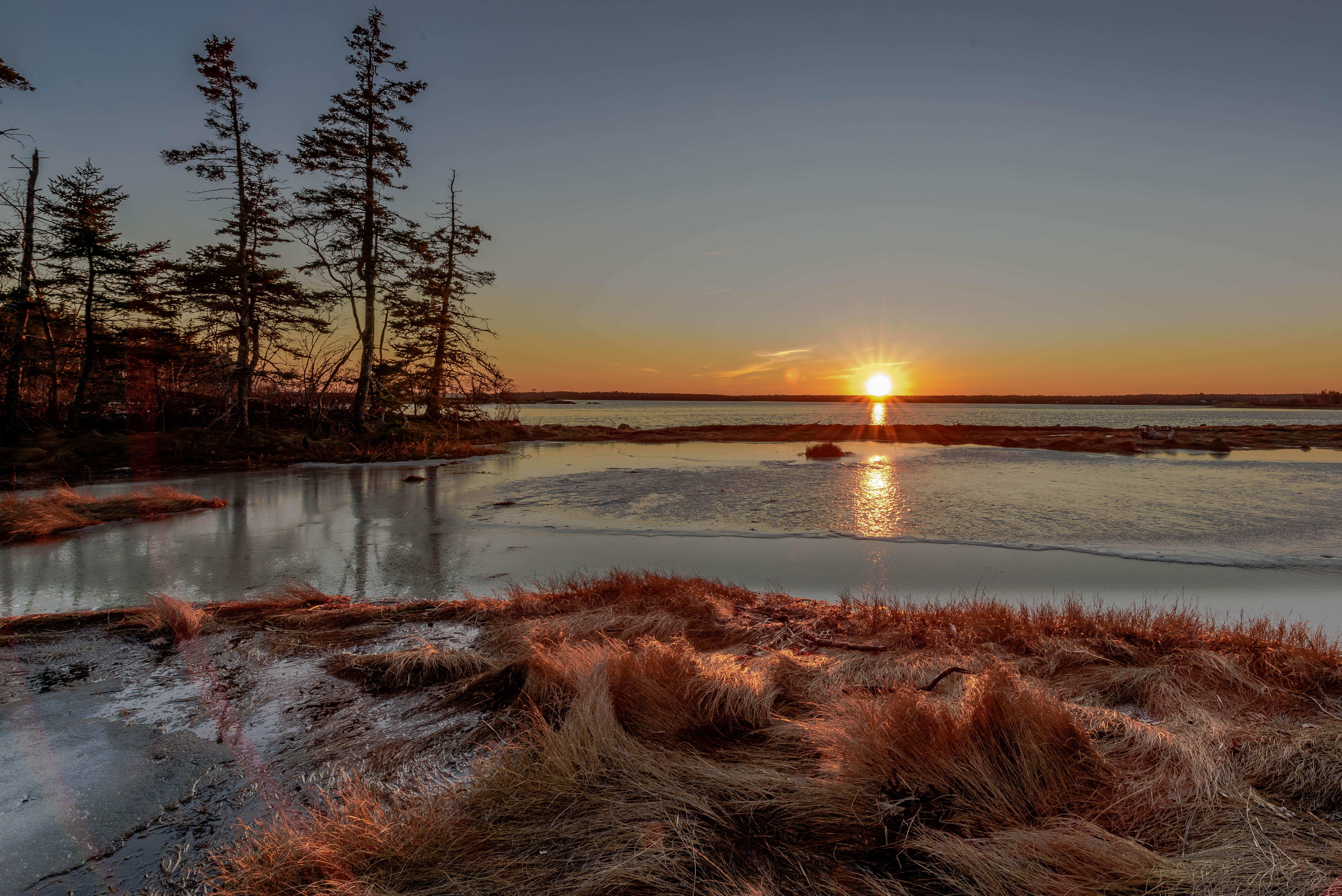
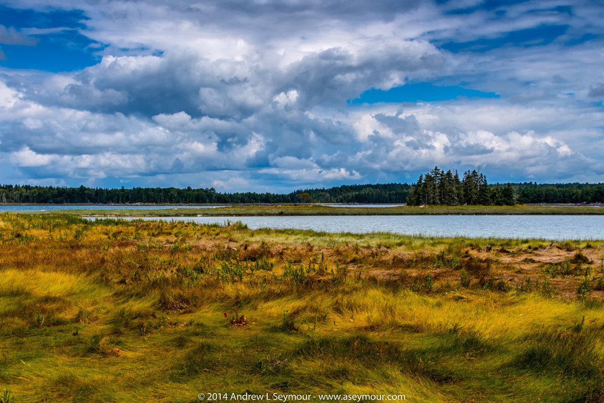
Related Photos:

a molten canvas
WP_20140818_19_16_13_Raw.jpg
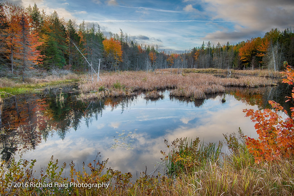
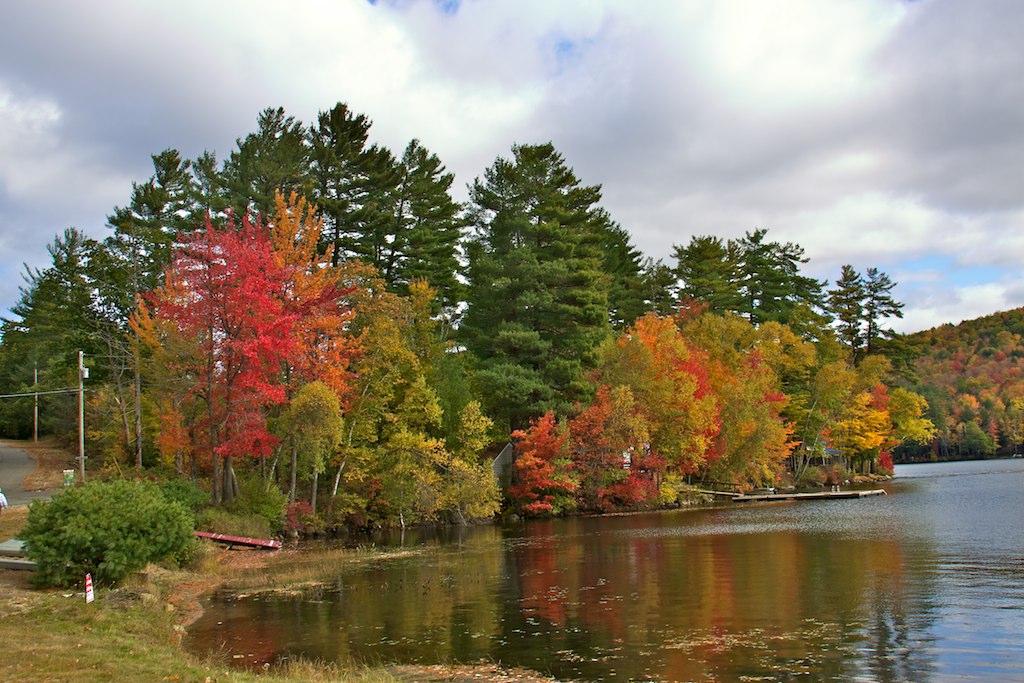
Autumn color and reflections

Floral View

GSA Graduates 3D Cross View

Maybe someday I won't be so lonely [EXPLORED]
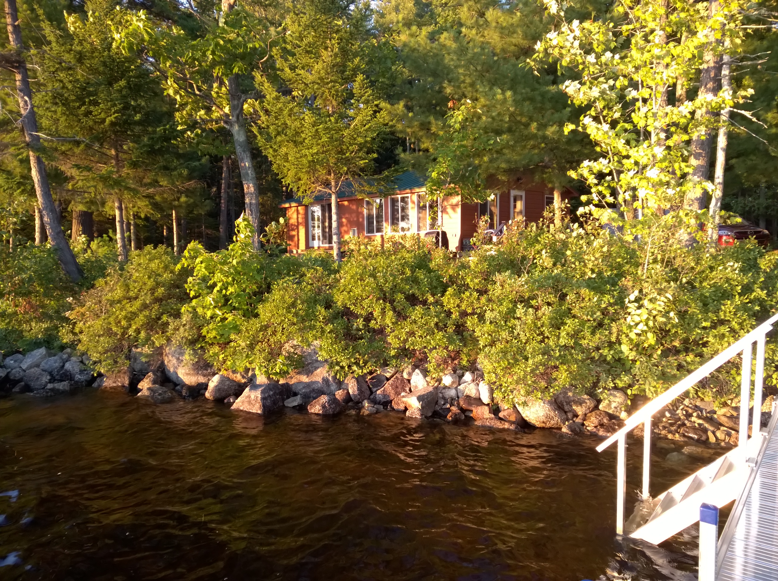
view for two

Window View 2
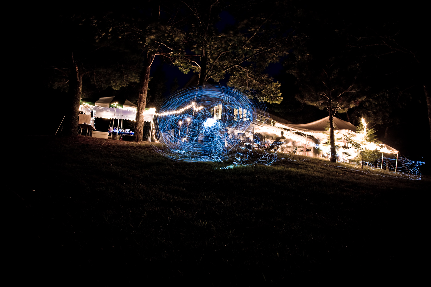
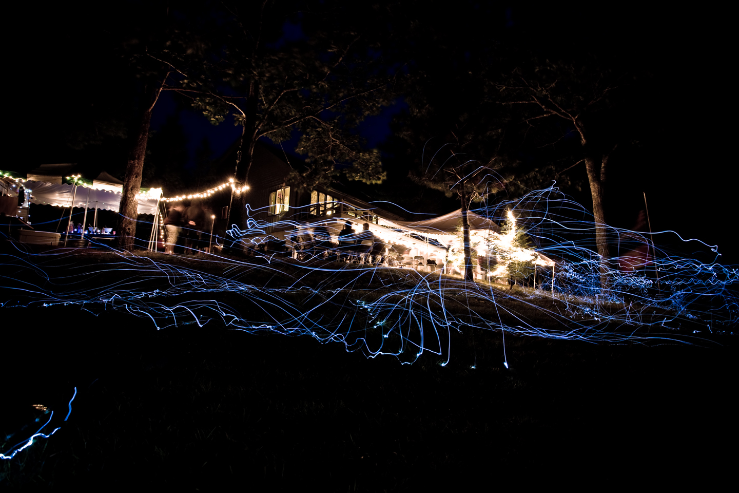
Light trails
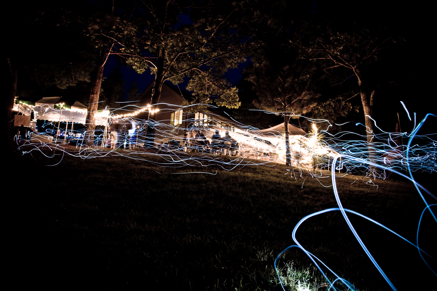
Light trails
Light trails

Sausage at the Fair
Bar Harbor, ME
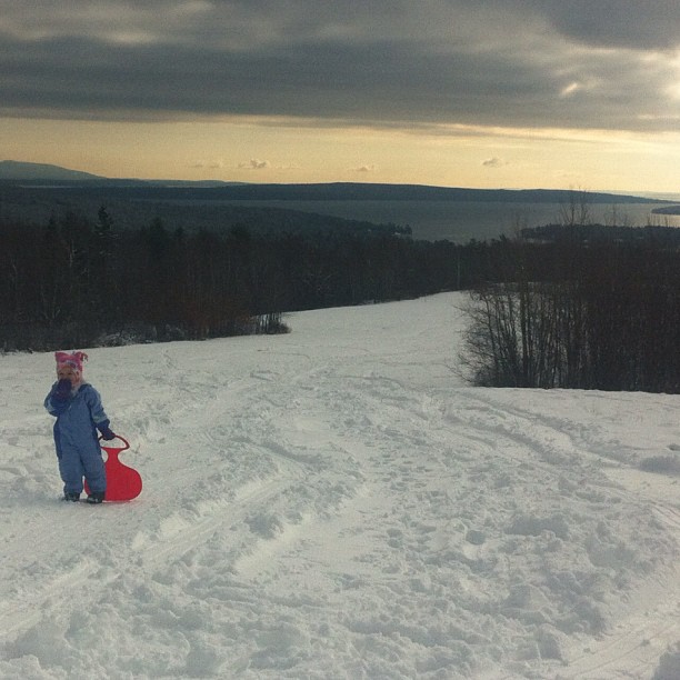
Post-Xmas fun. Just up the road sits some of the best sledding. Just below the summit with a view that goes on forever.
Bar Harbor, ME
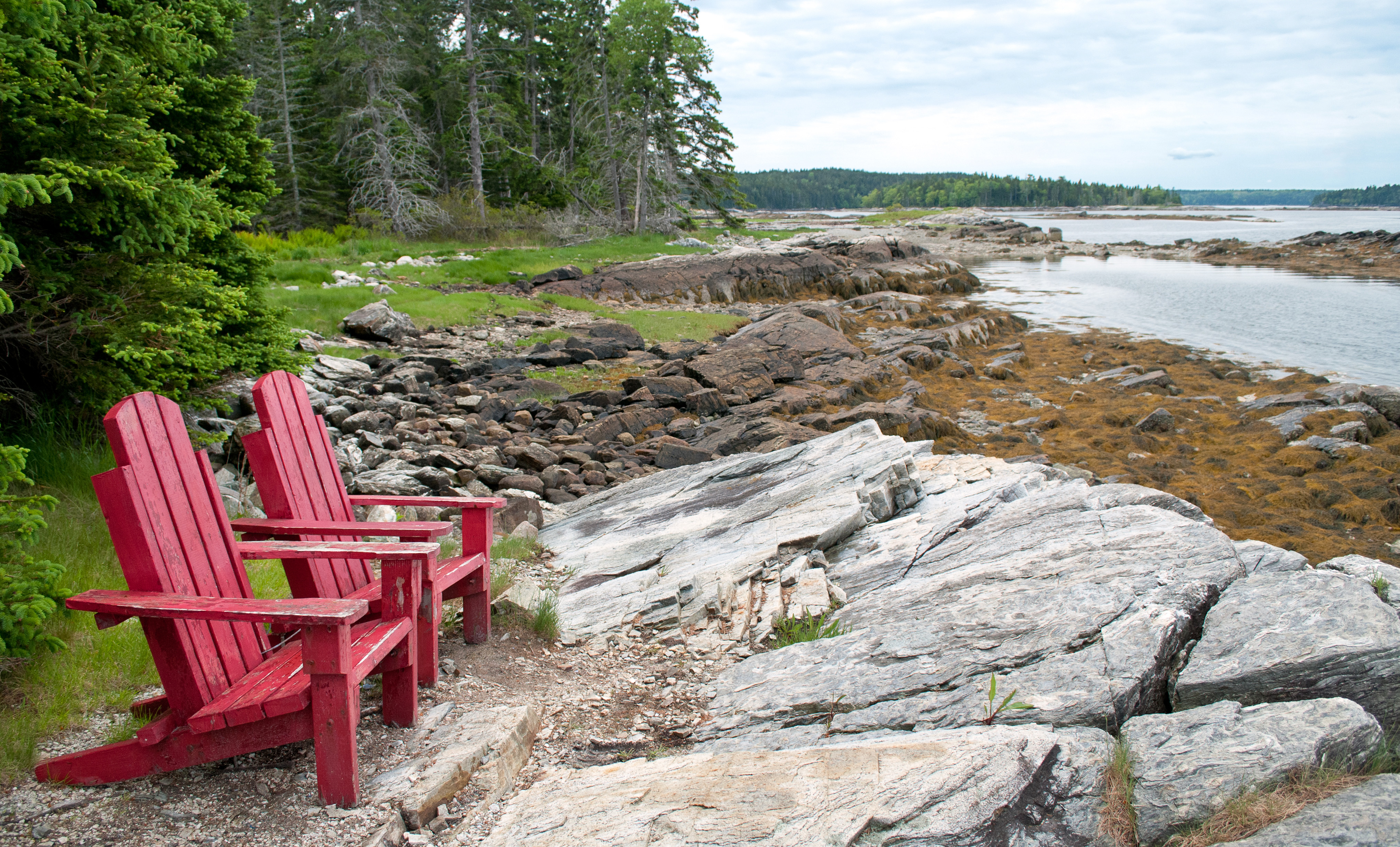
Take a seat
View North
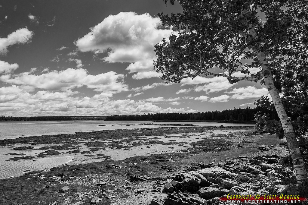
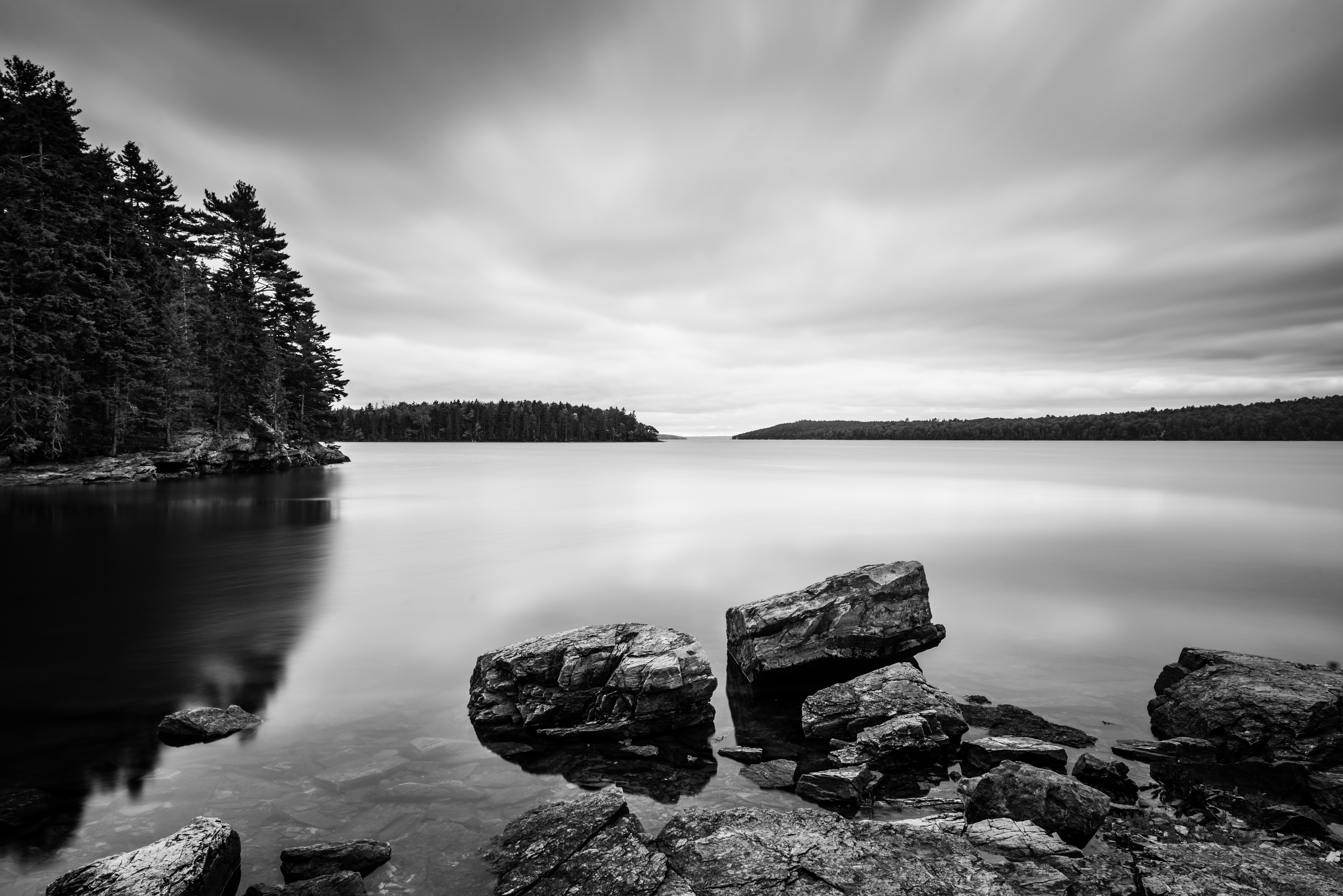
View From Shore
Thompson Island
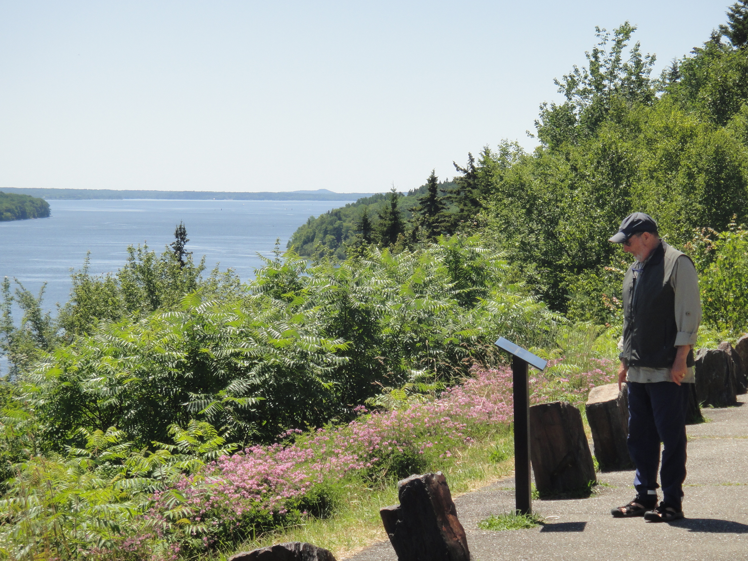
View on road trip
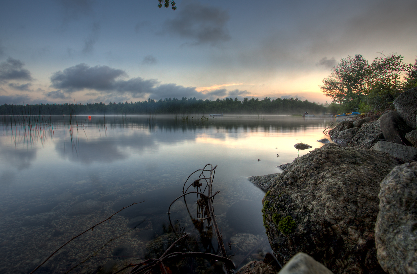
A misty Toddy Pond

The Mill Stream and Harbor
North East Creek, Bar Harbor, Maine July 24, 2014, 8:02 PM
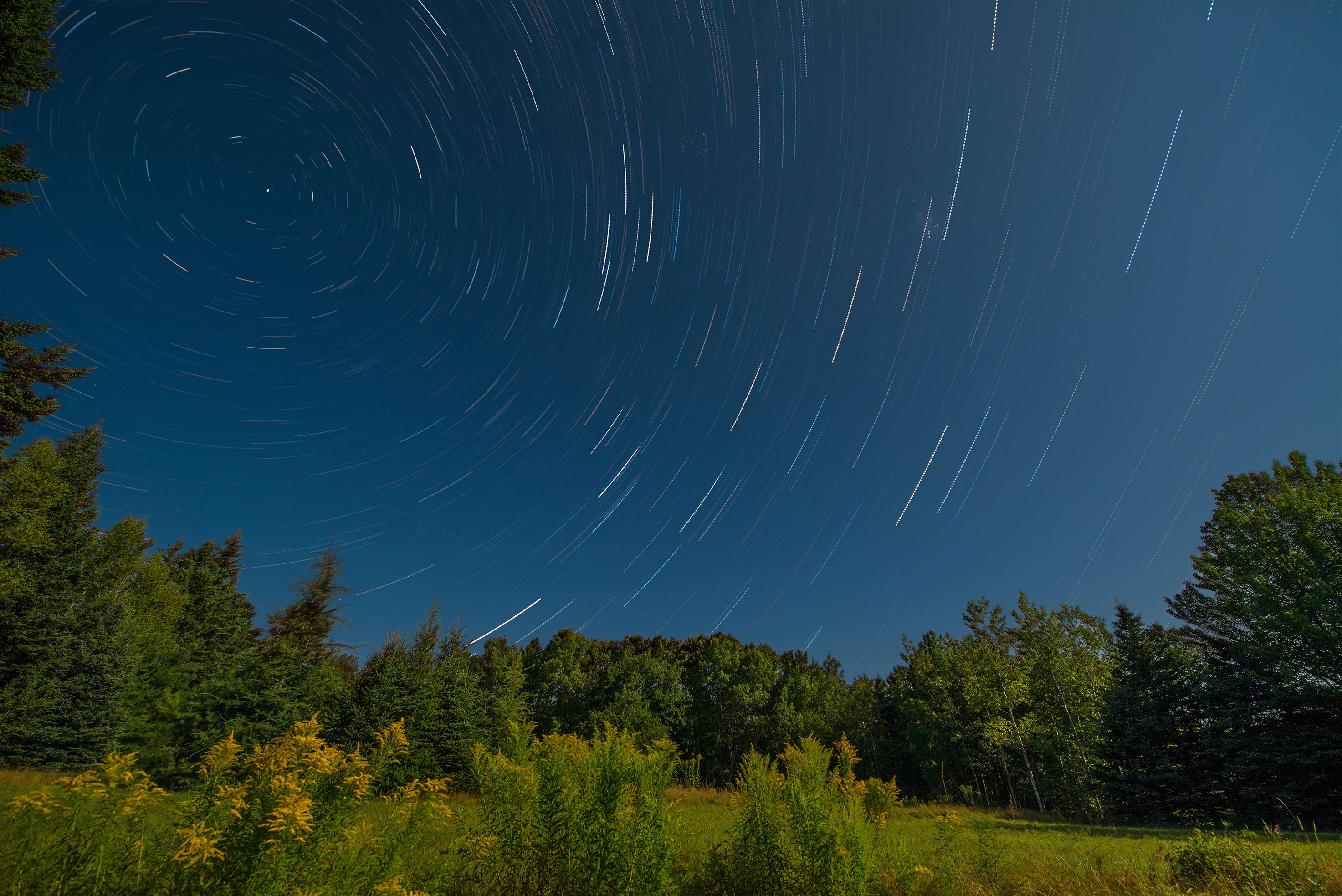
Star Trails in Maine

Some people say the sky is just the sky, but I say...
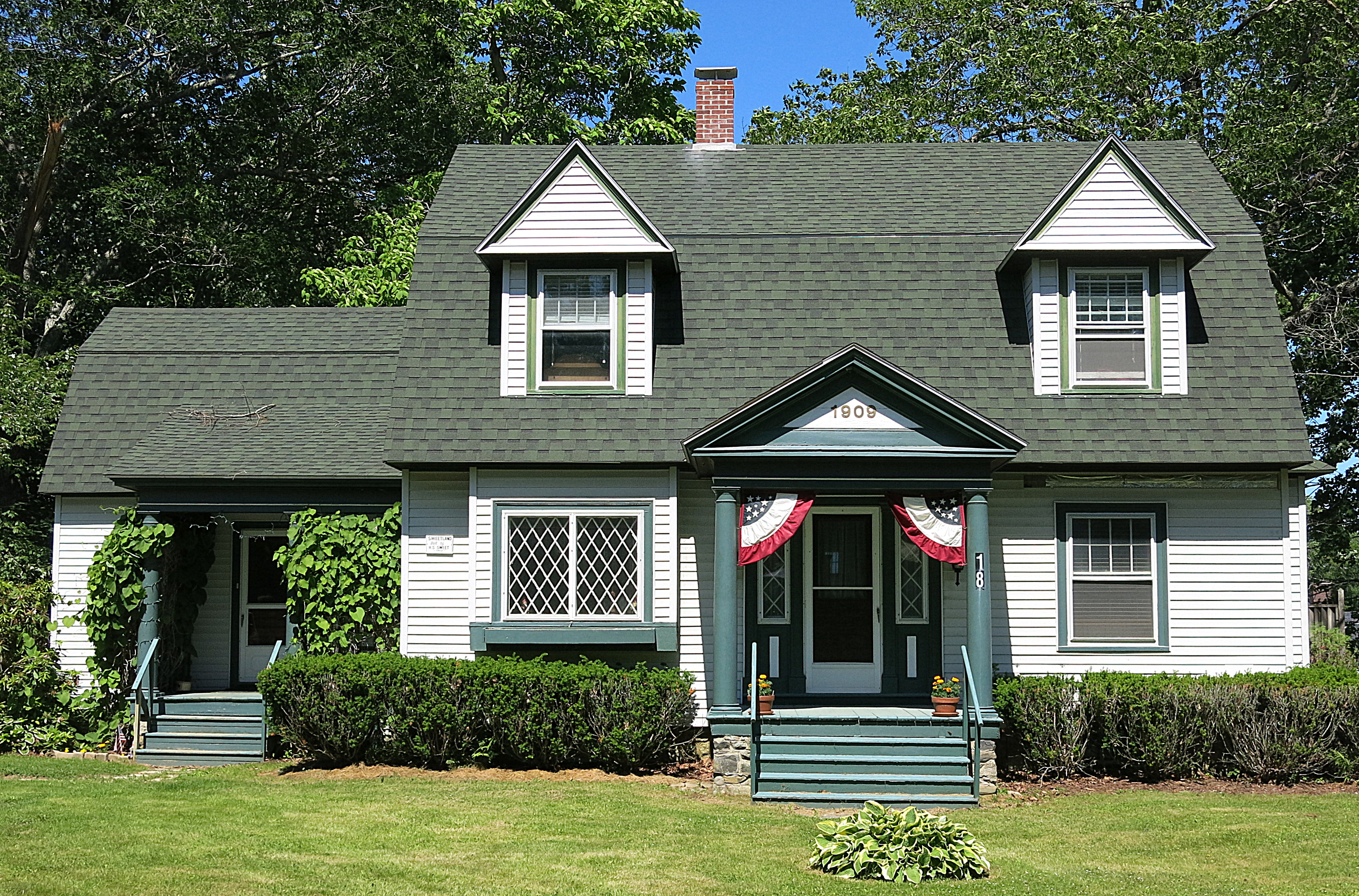
1909: A house in Blue Hill, Maine, USA
Patten Pond at night under a Full Moon

Scenes from a snow storm
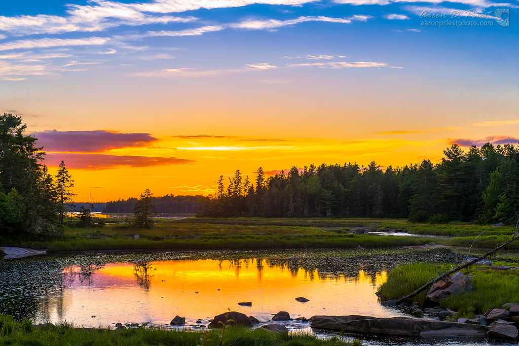
Morgan Bay

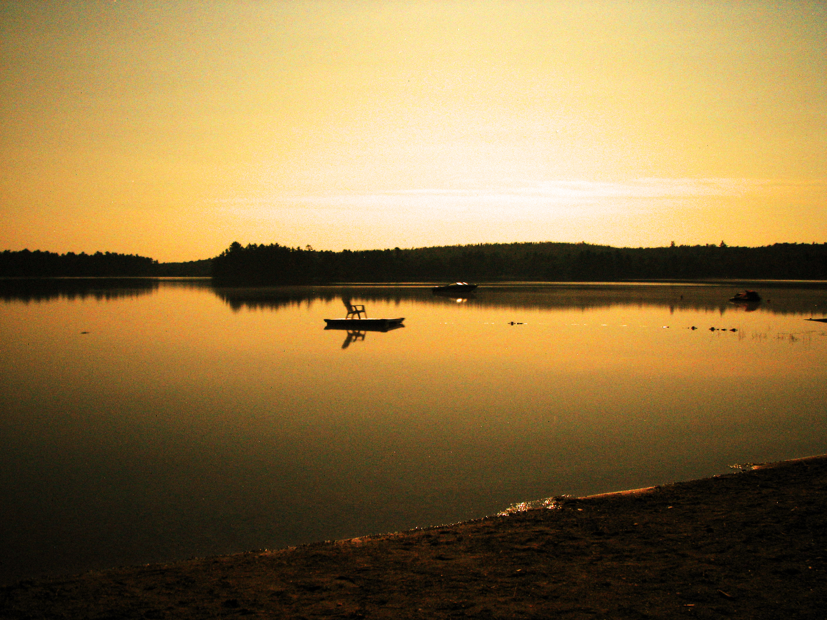
sunset over the lake
Mount Desert Island

Mount Desert Island Sunset
Congratulations!✨????✨ ???? @benjamindunbar Your beautiful Mount Desert Island capture has been chosen for POTD in

Had climb the rocky steps to get here
Acadia Sunset
Mt Desert Oceanarium
Multi-Color trees by Lake

Sunset clouds
Morning at Hadley Point
Topographic Map of Surry, ME, USA
Find elevation by address:

Places in Surry, ME, USA:
Places near Surry, ME, USA:
472 N Bend Rd
884 Surry Rd
506 Newbury Neck Rd
Viking Trail Lane
Maggie's Way
4 Loon Call Ln
Windsor Way
664 Bayside Rd
124 Bayside Rd
12 Western Ave
Ellsworth
21 Kingsland Crossing
78 Bridgetwin Rd
Bangor Rd, Ellsworth, ME, USA
Washington Junction Rd, Ellsworth, ME, USA
593 Mariaville Rd
Hancock County
30 Great Ledge Rd
Mud Creek Road
Mud Creek Road
Recent Searches:
- Elevation of Zimmer Trail, Pennsylvania, USA
- Elevation of 87 Kilmartin Ave, Bristol, CT, USA
- Elevation of Honghe National Nature Reserve, QP95+PJP, Tongjiang, Heilongjiang, Jiamusi, Heilongjiang, China
- Elevation of Hercules Dr, Colorado Springs, CO, USA
- Elevation of Szlak pieszy czarny, Poland
- Elevation of Griffing Blvd, Biscayne Park, FL, USA
- Elevation of Kreuzburger Weg 13, Düsseldorf, Germany
- Elevation of Gateway Blvd SE, Canton, OH, USA
- Elevation of East W.T. Harris Boulevard, E W.T. Harris Blvd, Charlotte, NC, USA
- Elevation of West Sugar Creek, Charlotte, NC, USA