Elevation of Sunway Lagoon Water Park, 6.5 Kms Ahead Gharo City,Main National Highway,Thatta District,Sindh, Thatta, Sindh, Pakistan
Location: Pakistan > Sindh > Thatta > Mirpur Sakro > Shah Ashabi Town >
Longitude: 67.6509843
Latitude: 24.7279974
Elevation: 7m / 23feet
Barometric Pressure: 101KPa
Elevation Map:
Satellite Map:
Related Photos:

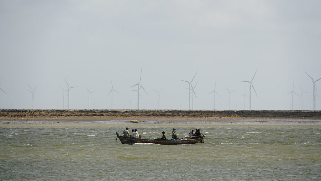
Capturing the landscape

Taking notice

Great Northern Diver

Pepsi and coke team up to secure home

Banbhore Museum

Banbhore Museum

Banbhore Fort

Banbhore Fort

Banbhore Fort

Banbhore Fort

Banbhore Fort

Banbhore Fort

Banbhore Fort

Banbhore Fort
Banbhore Fort

Banbhore Fort

Banbhore Fort

Banbhore Fort

Banbhore Fort

Wire-Tailed Swallow
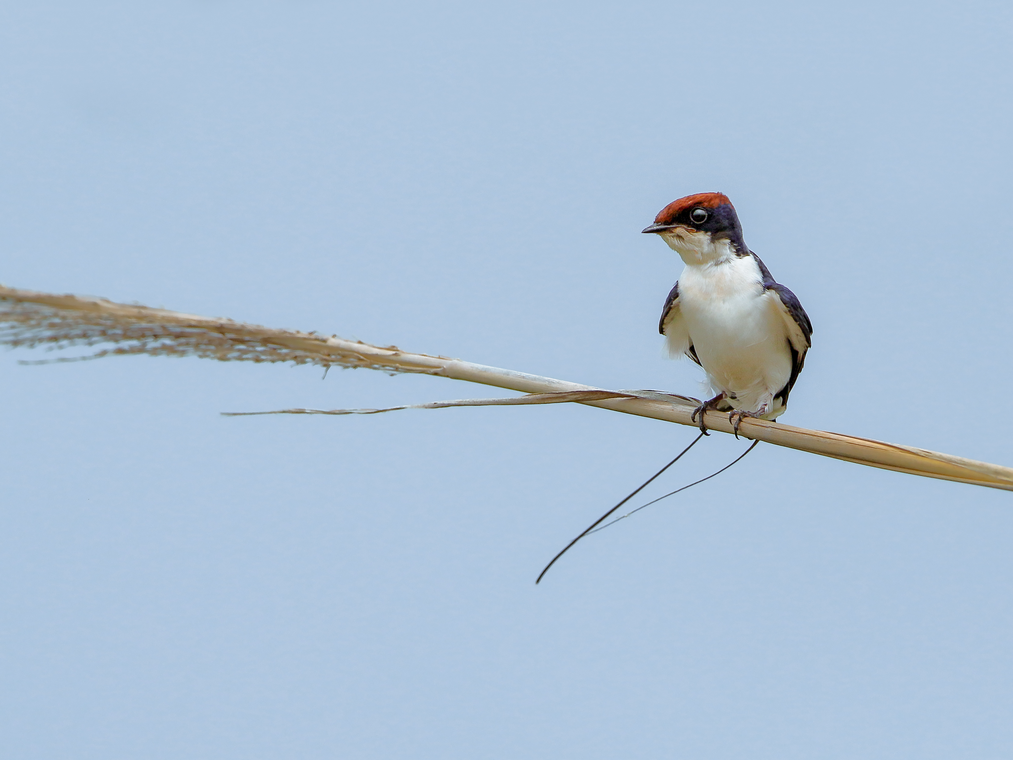
Wire-Tailed Swallow
Topographic Map of Sunway Lagoon Water Park, 6.5 Kms Ahead Gharo City,Main National Highway,Thatta District,Sindh, Thatta, Sindh, Pakistan
Find elevation by address:

Places near Sunway Lagoon Water Park, 6.5 Kms Ahead Gharo City,Main National Highway,Thatta District,Sindh, Thatta, Sindh, Pakistan:
Shah Ashabi Town
Bhambore
Haleji Lake
Mirpur Sakro
Bapro Jakhro
Hadero Lake
Makli
Makli
Makli Necropolis
Thatta
Government Boys High School Akhund Baradia, Thatta Sindh
Shah Jahan Mosque
Thatta
Thatta
Keenjhar Lake
Tando Muhammad Khan
Hyderabad
Badin
Badin
Badin
Recent Searches:
- Elevation of Groblershoop, South Africa
- Elevation of Power Generation Enterprises | Industrial Diesel Generators, Oak Ave, Canyon Country, CA, USA
- Elevation of Chesaw Rd, Oroville, WA, USA
- Elevation of N, Mt Pleasant, UT, USA
- Elevation of 6 Rue Jules Ferry, Beausoleil, France
- Elevation of Sattva Horizon, 4JC6+G9P, Vinayak Nagar, Kattigenahalli, Bengaluru, Karnataka, India
- Elevation of Great Brook Sports, Gold Star Hwy, Groton, CT, USA
- Elevation of 10 Mountain Laurels Dr, Nashua, NH, USA
- Elevation of 16 Gilboa Ln, Nashua, NH, USA
- Elevation of Laurel Rd, Townsend, TN, USA