Elevation of Sunshine Coast Hwy, Sechelt, BC V0N 3A5, Canada
Location: Canada > British Columbia > Sunshine Coast > Sunshine Coast A > Sechelt >
Longitude: -123.96521
Latitude: 49.7065847
Elevation: 43m / 141feet
Barometric Pressure: 101KPa
Elevation Map:
Satellite Map:
Related Photos:

Our view for the weekend!
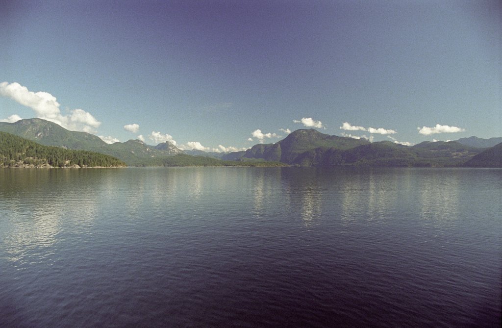
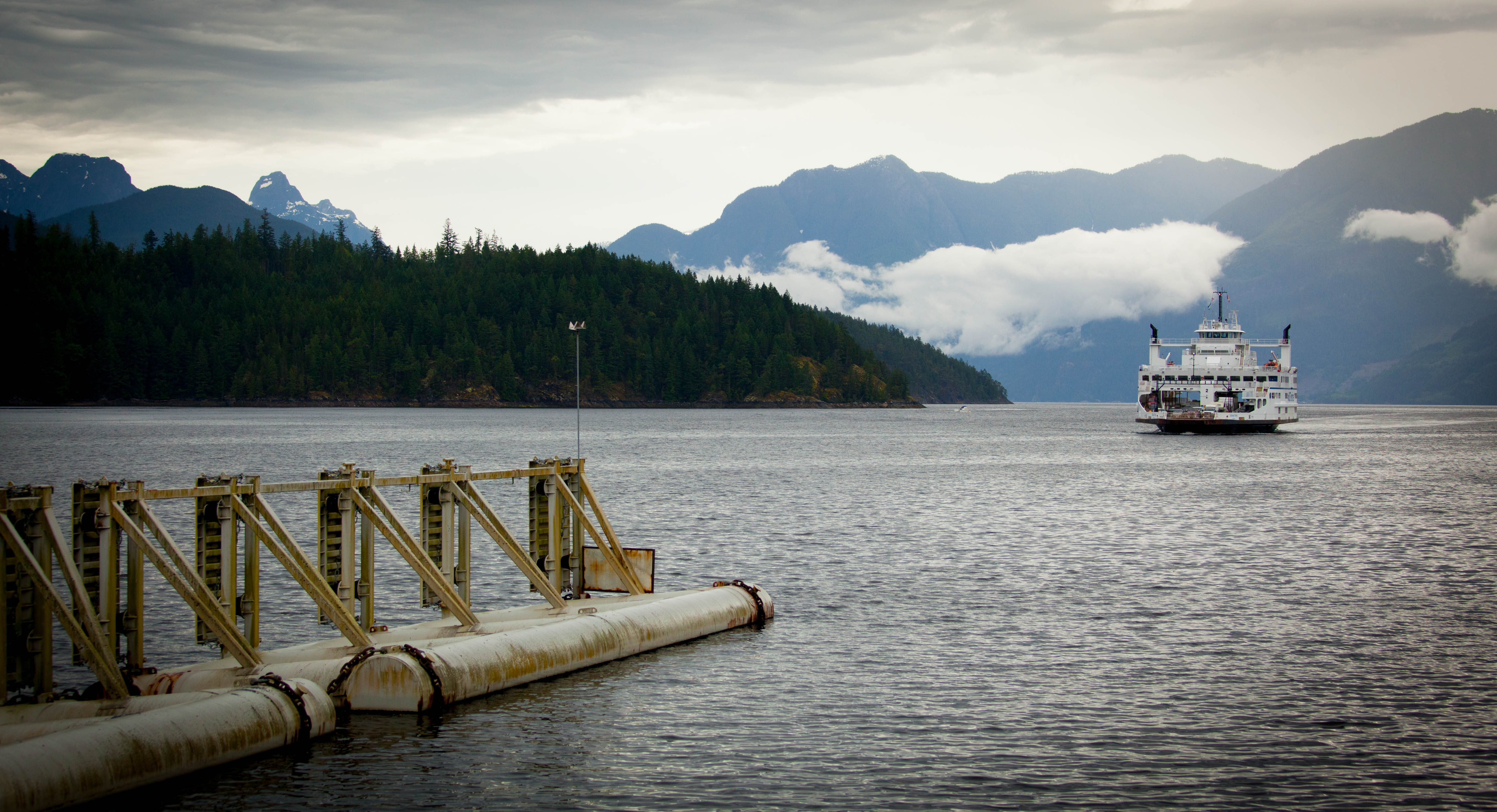
View on the Saltery Bay Ferry
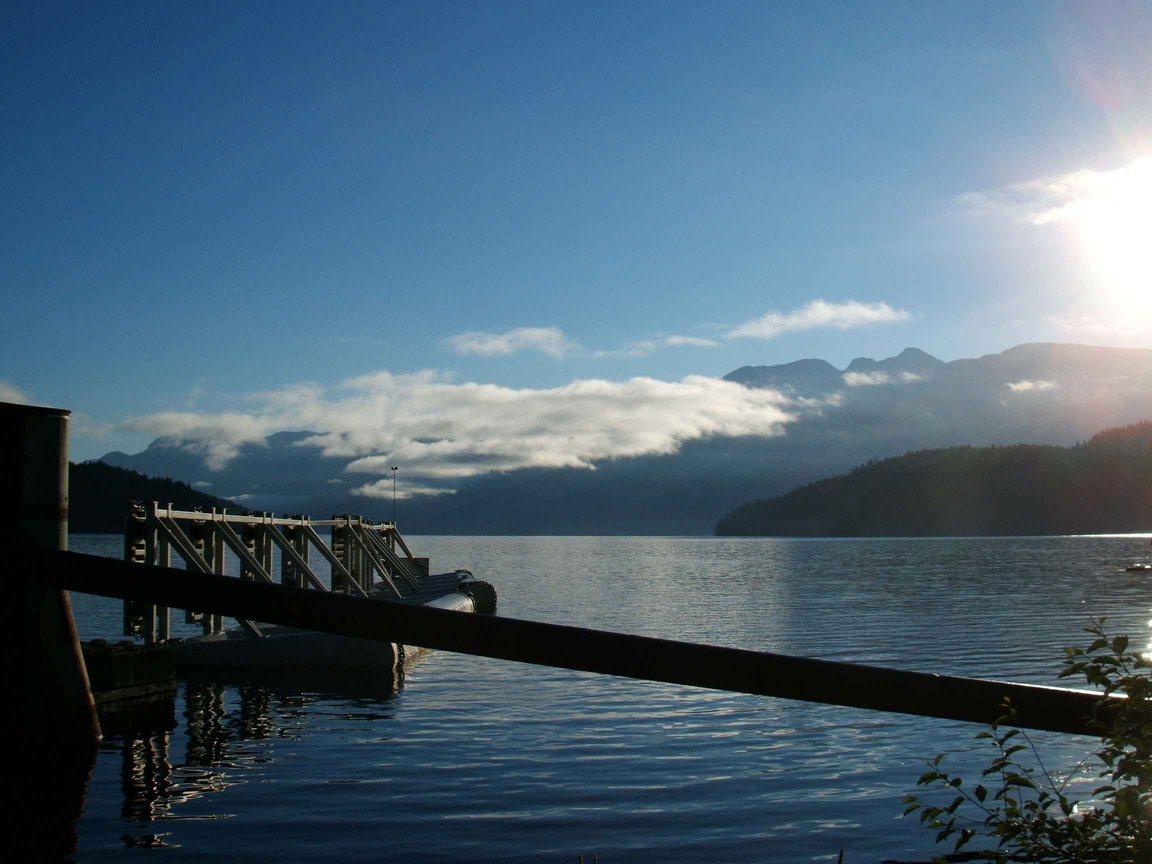
View from Earl's Cove ferry terminal
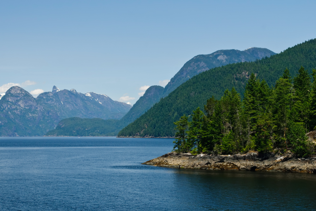
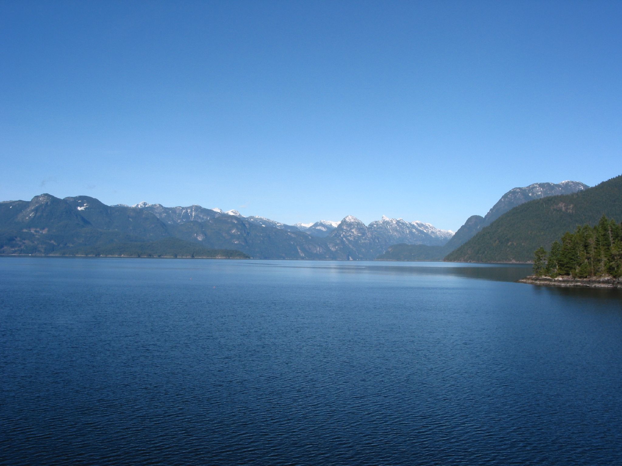
Jervis Inlet

Bogna's View

Pender Hill_5x16

Sunshine Coast West Coast Wilderness Lodge
Morning View
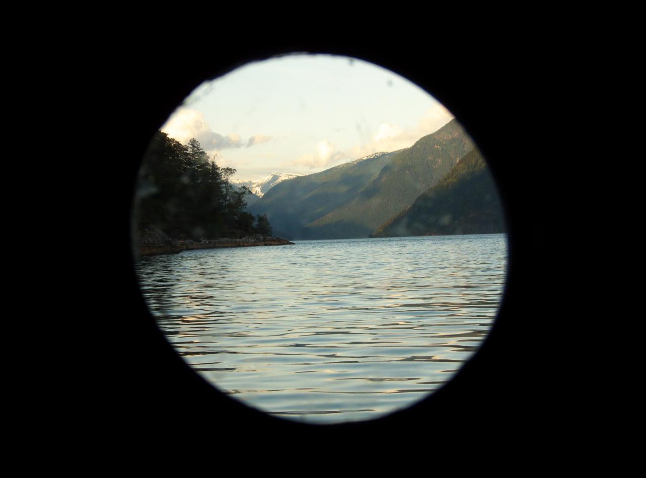
Port Hole View
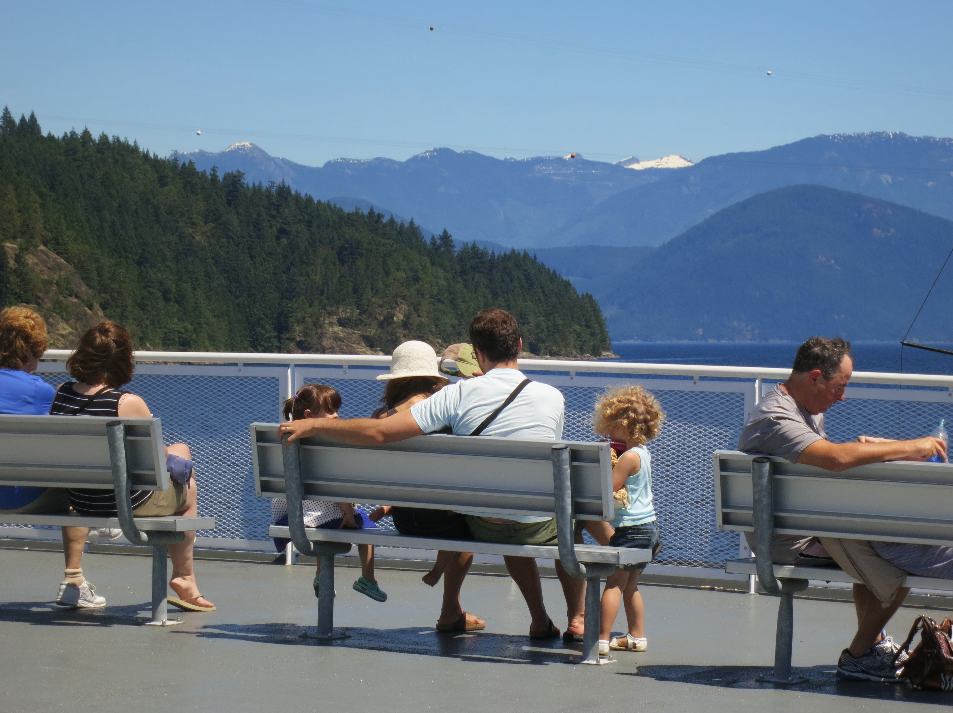
Relaxing on deck
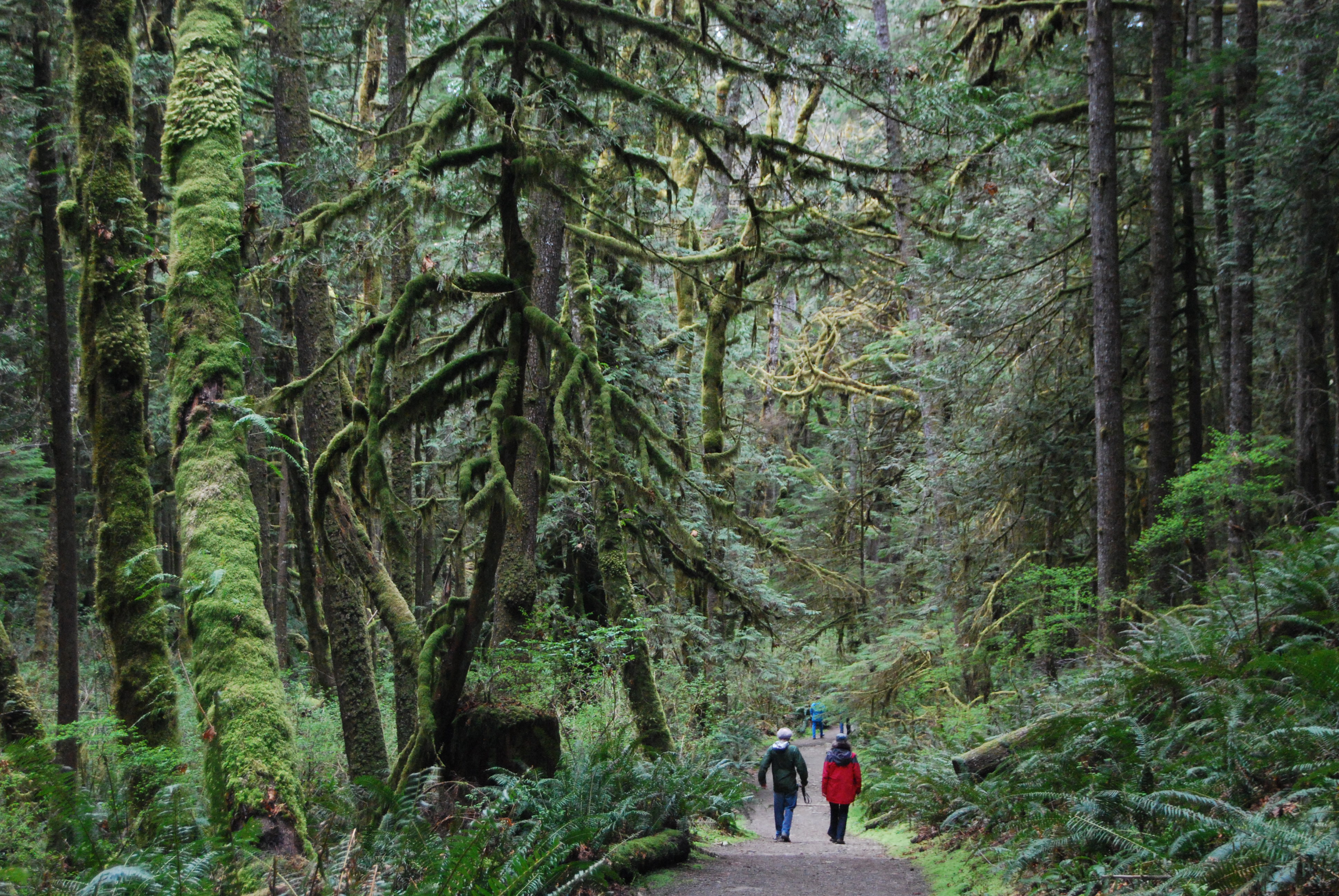
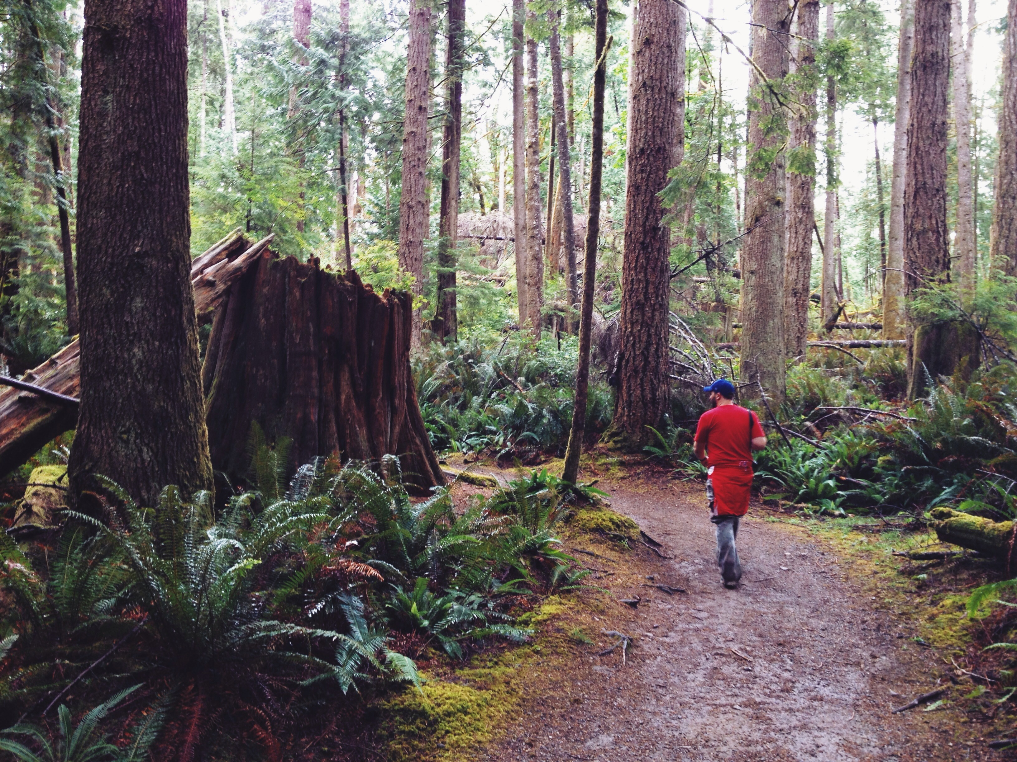
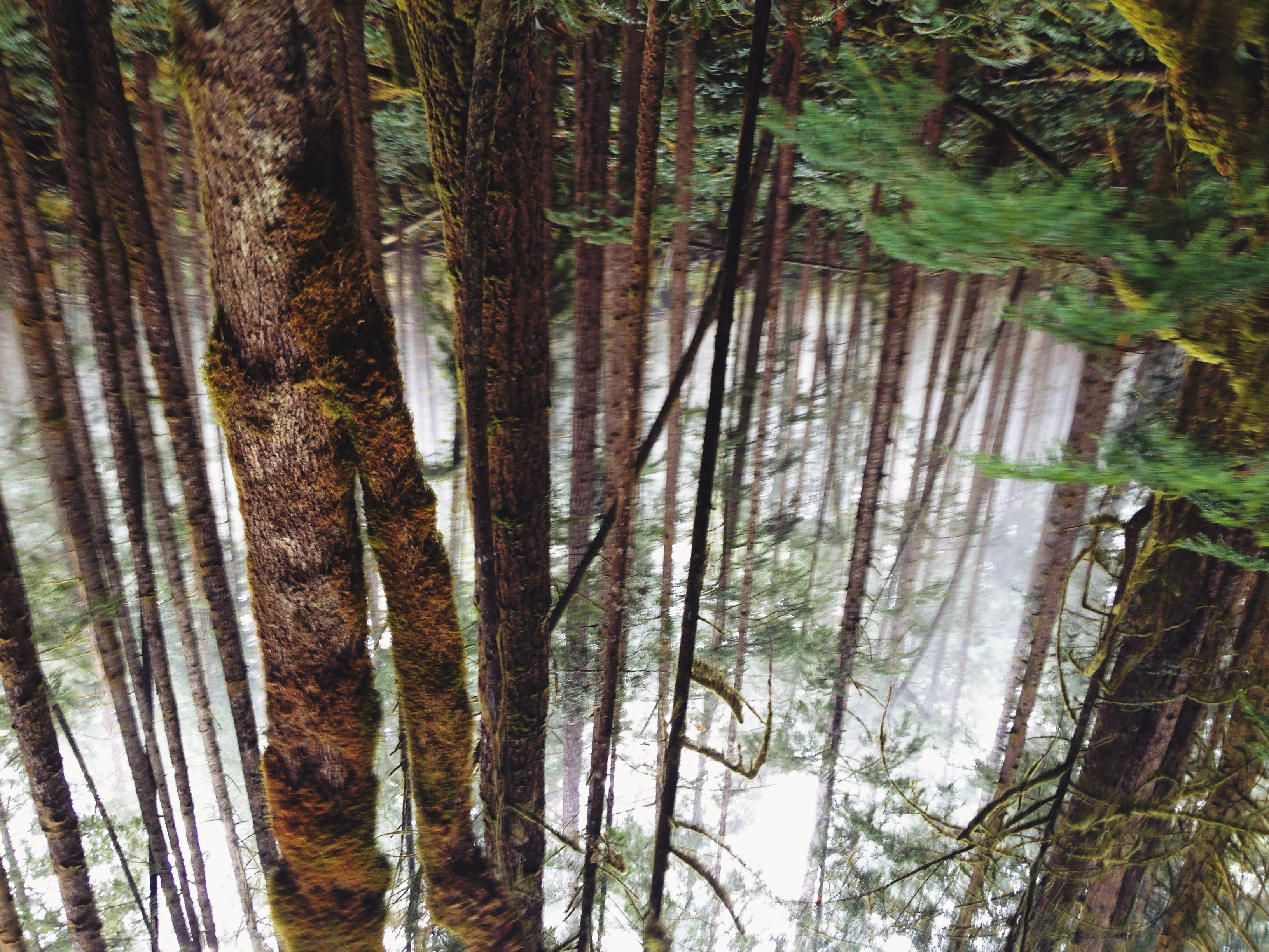
The Trail to Skookumchuck Narrows

Sunshine Coast Splendour
Exciting view!
Earls Cove Ferry
Hard to keep our eyes on the trail, when the view is so distracting!
Azure Like It

Sunshine Coast Getaway: West Coast Wilderness Lodge

Egmont, B.C.
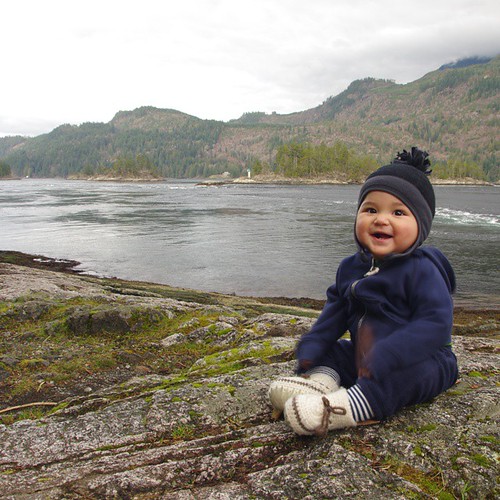
i'm here now
MV Island Sky

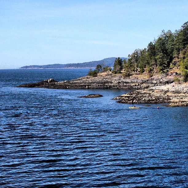
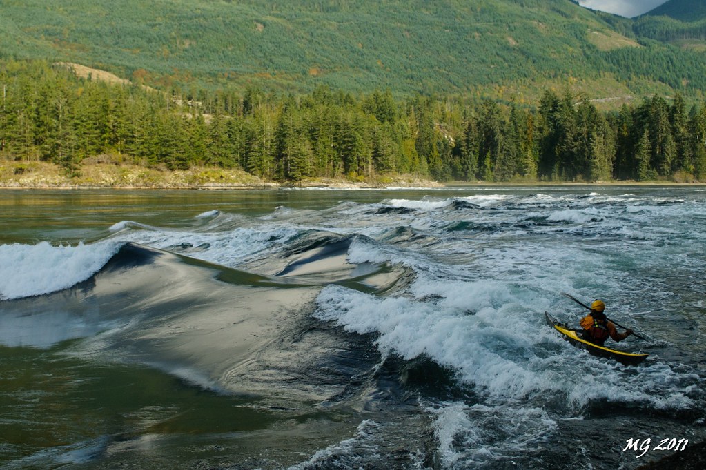
Skookumchuck Narrows and Kayaker
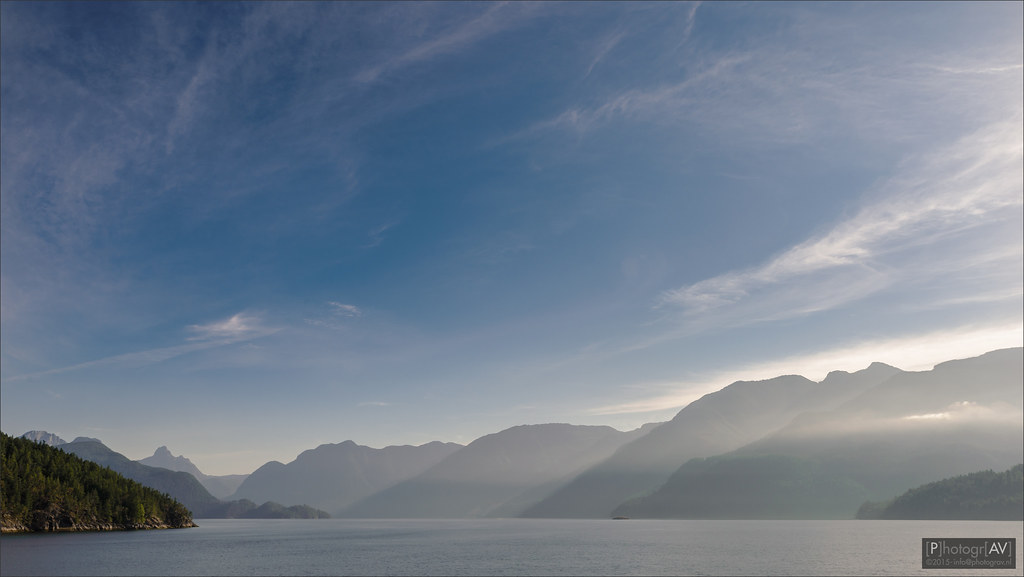
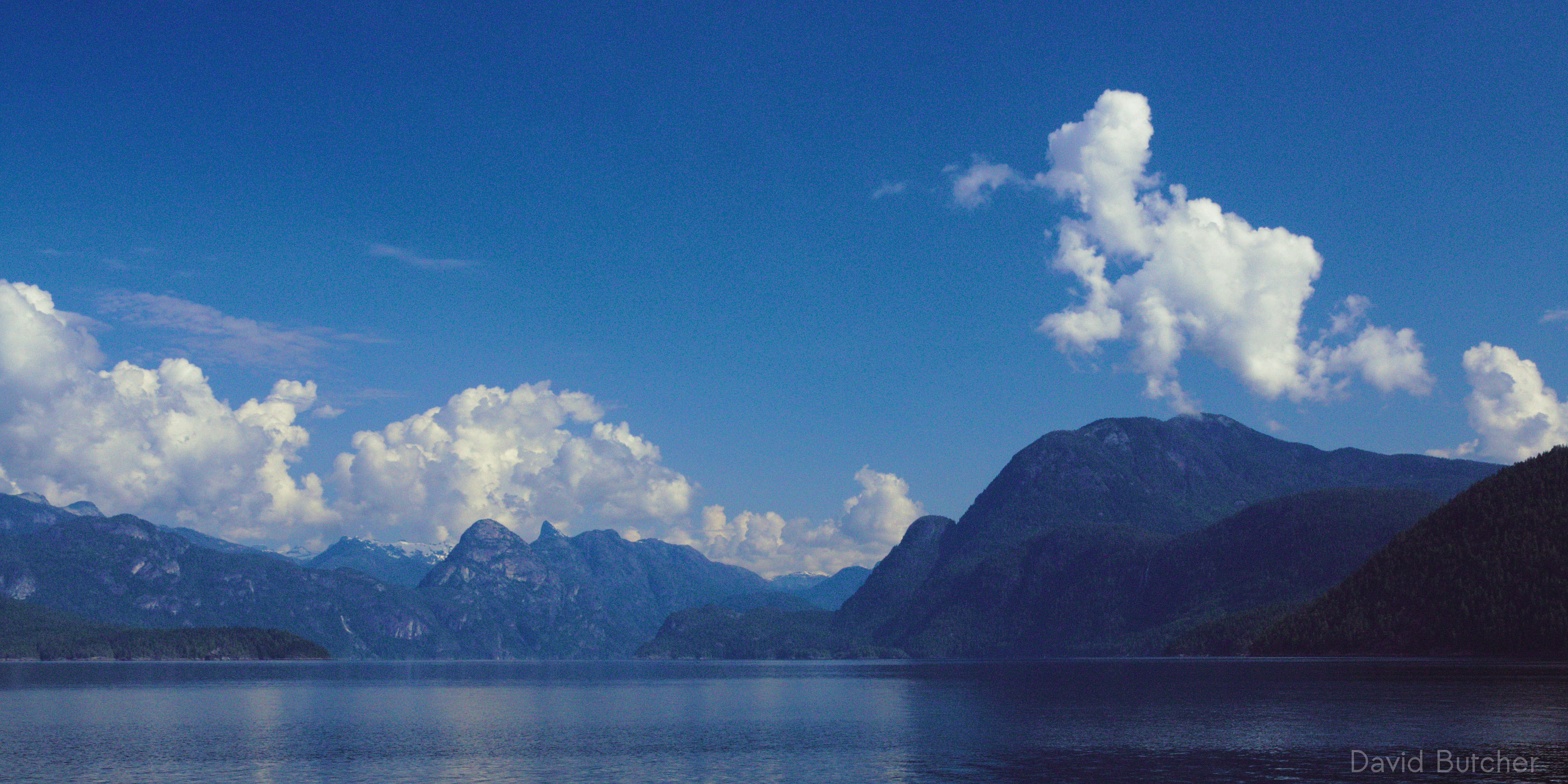
Jervis Inlet
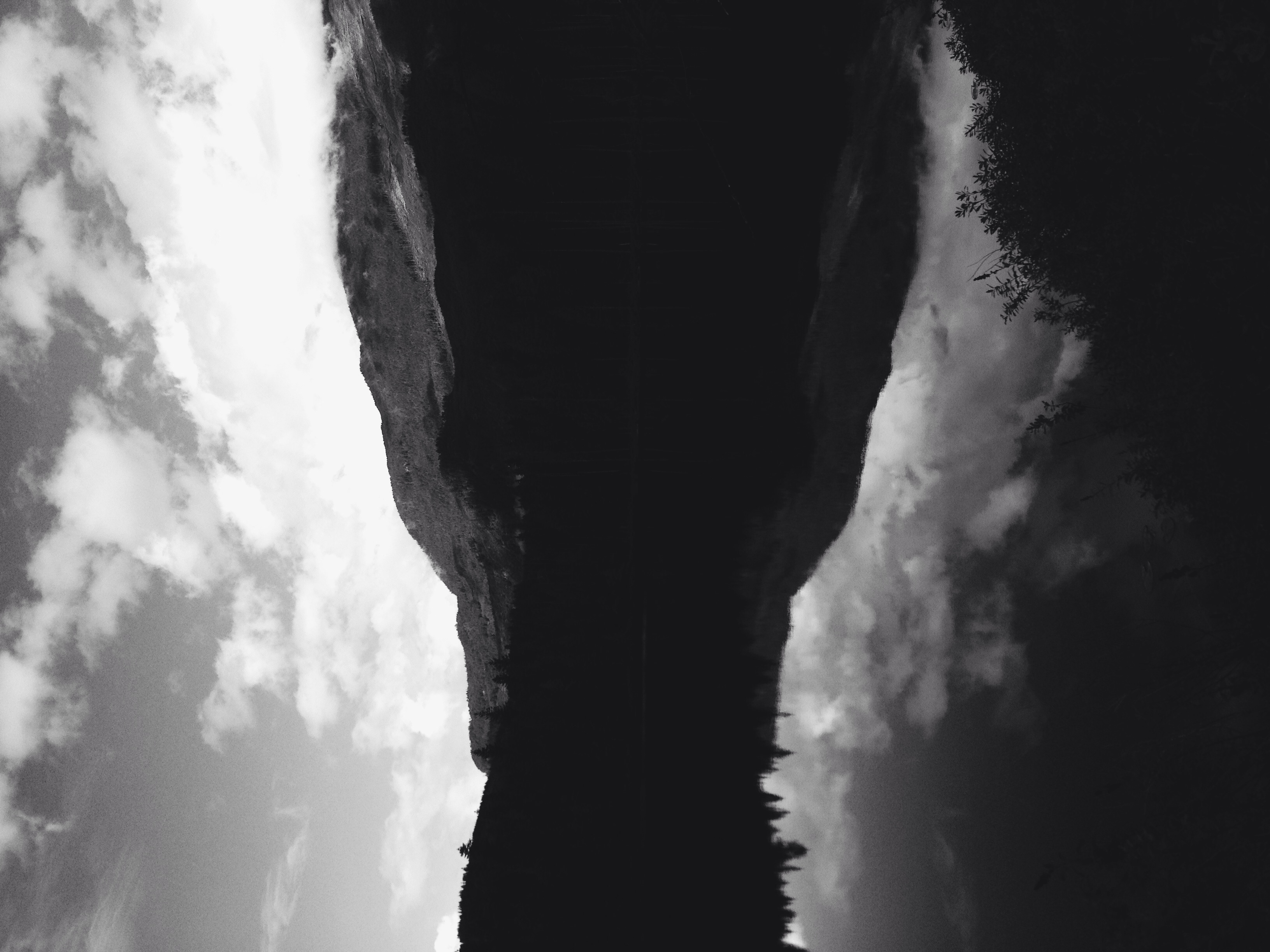
Magical Reflections
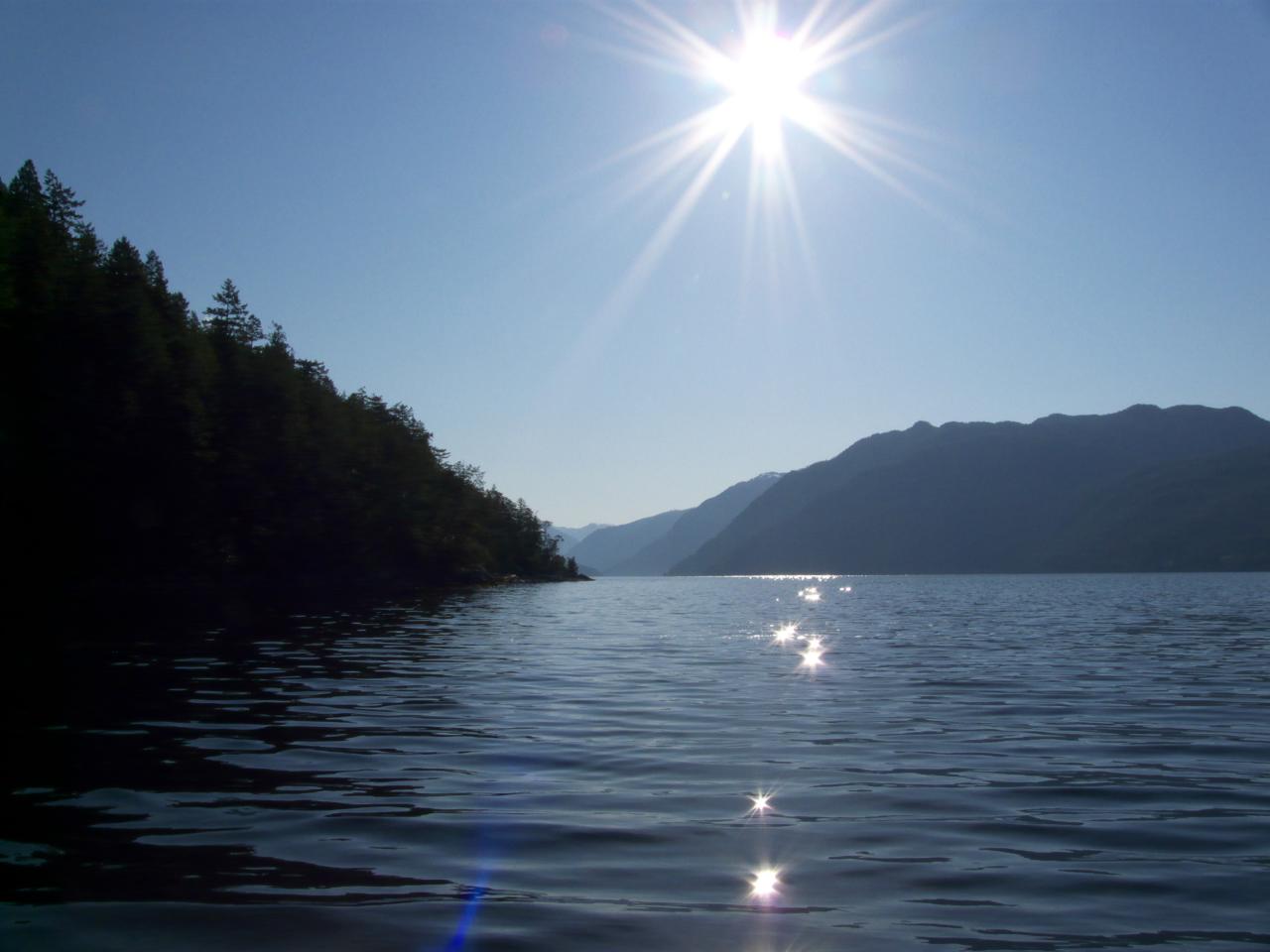
Catch a Wave
SunCoast Adventures
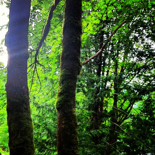
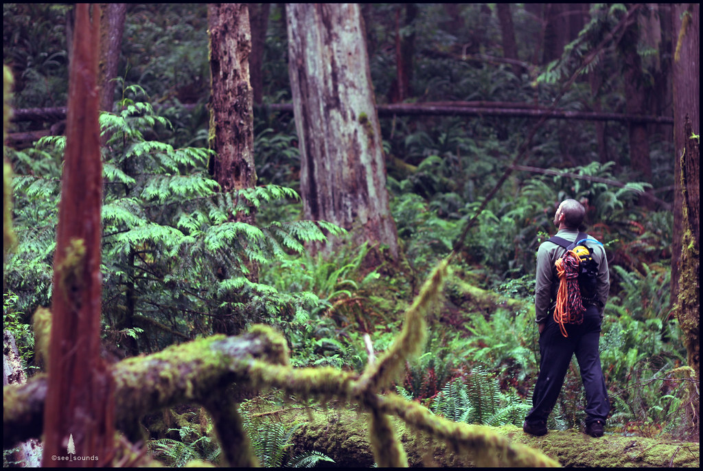
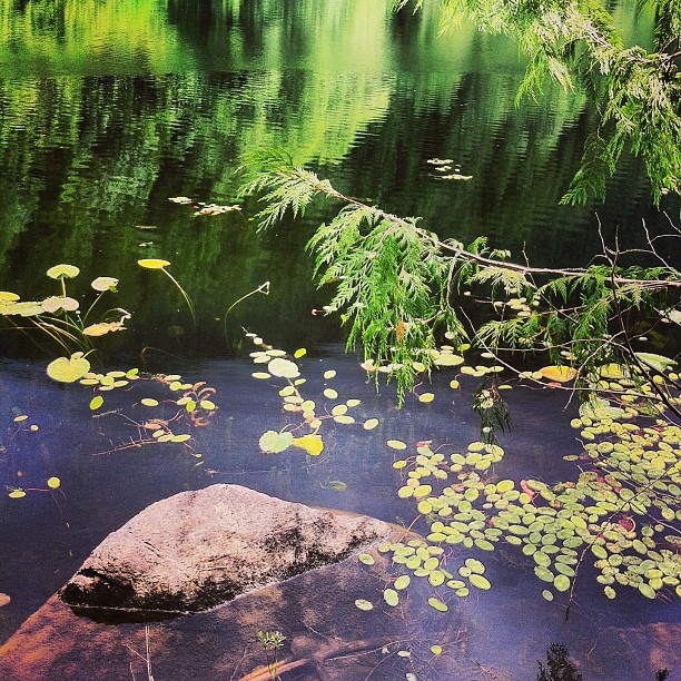
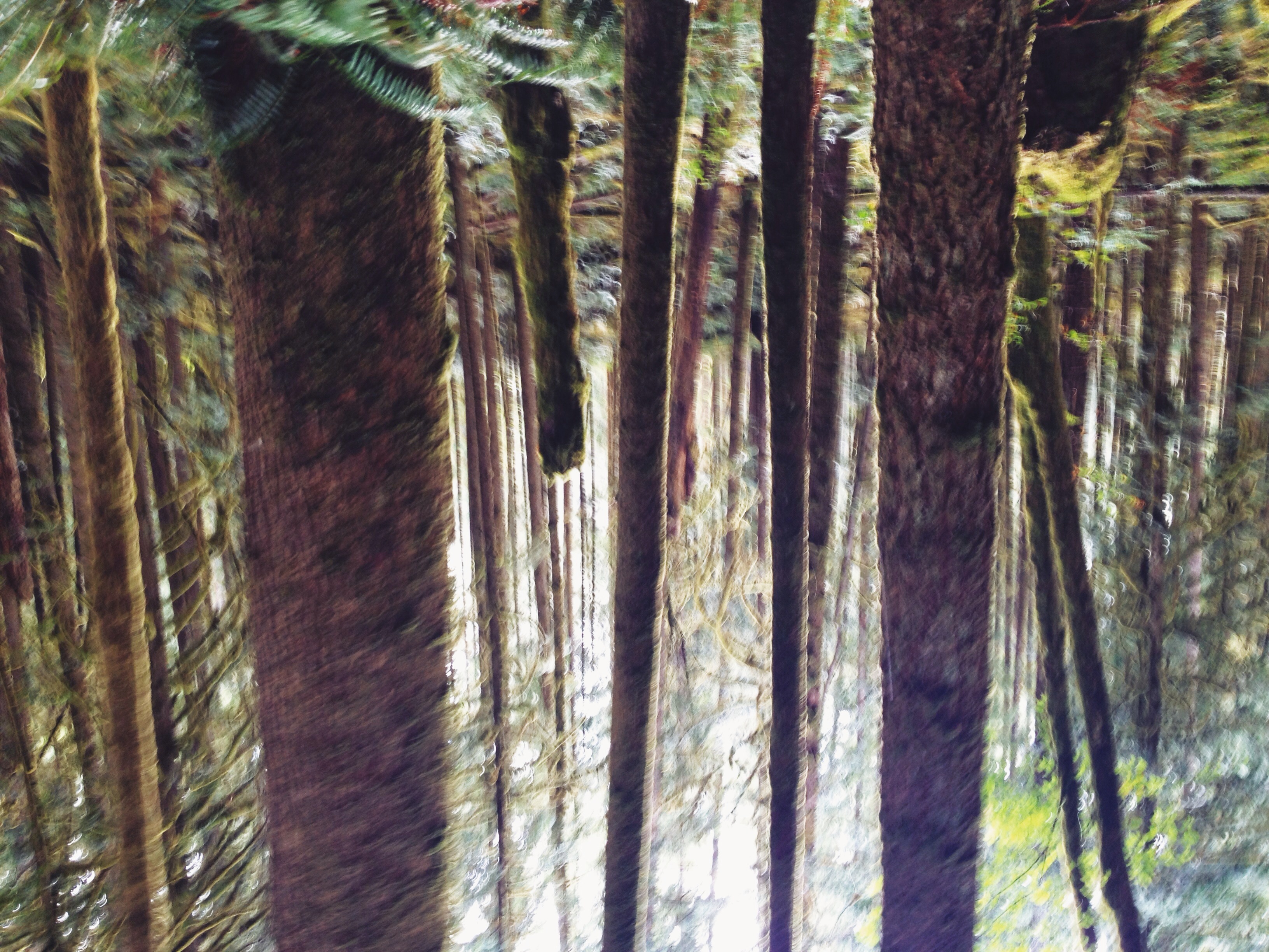
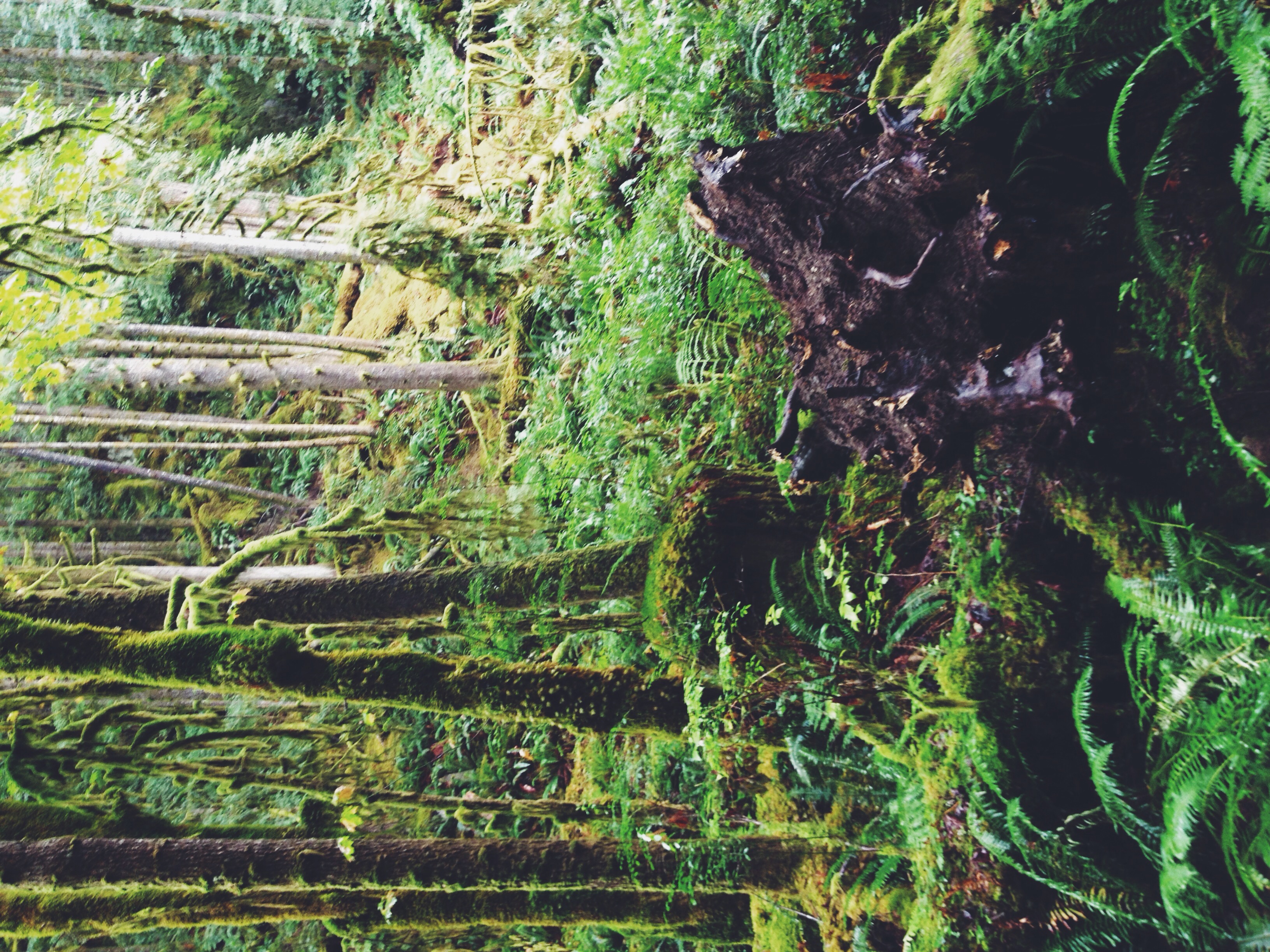
Rainforest Magic
Sacred geometry
SunCoast Adventures
SunCoast Adventures
SunCoast Adventures

SunCoast Adventures

Marcus' cottage on Sakinaw Lake 2013 22
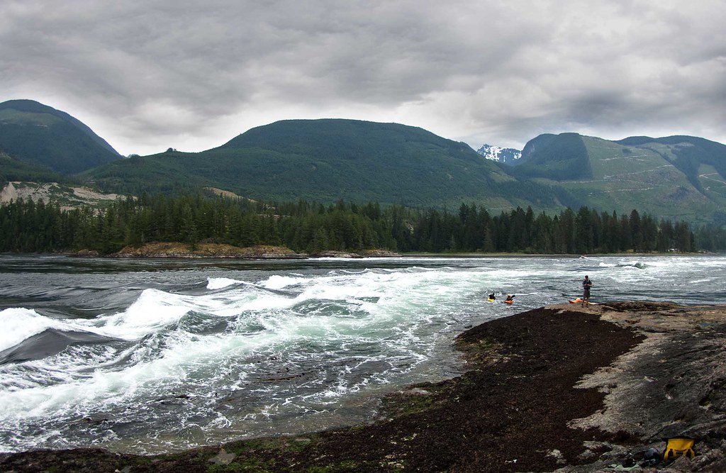
High Tide at Skookumchuck Narrows
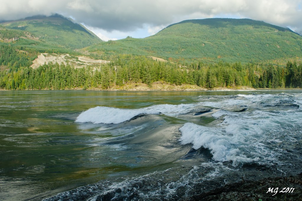
Skookumchuck Rapids
SunCoast Adventures

SunCoast Adventures

Upper Narrows Inlet
Topographic Map of Sunshine Coast Hwy, Sechelt, BC V0N 3A5, Canada
Find elevation by address:

Places near Sunshine Coast Hwy, Sechelt, BC V0N 3A5, Canada:
Unnamed Road
Egmont
Earls Cove
Pender Harbour Hotel
12671 Sunshine Coast Hwy
Madeira Park
Lily Lake
22 Flagship Rd
4644 Gerrans Bay Rd
11565 Sunshine Coast Hwy
Sans Souci Rd, Halfmoon Bay, BC V0N 1Y2, Canada
9384 Stephens Way
Sunshine Coast Hwy, Halfmoon Bay, BC V0N 1Y2, Canada
Sherman Ln, Halfmoon Bay, BC V0N 1Y2, Canada
Halfmoon Bay
Sunshine Coast
Welcome Beach
7900 Cooper Rd
7784 Fawn Rd
V0n 3a0
Recent Searches:
- Elevation of East W.T. Harris Boulevard, E W.T. Harris Blvd, Charlotte, NC, USA
- Elevation of West Sugar Creek, Charlotte, NC, USA
- Elevation of Wayland, NY, USA
- Elevation of Steadfast Ct, Daphne, AL, USA
- Elevation of Lagasgasan, X+CQH, Tiaong, Quezon, Philippines
- Elevation of Rojo Ct, Atascadero, CA, USA
- Elevation of Flagstaff Drive, Flagstaff Dr, North Carolina, USA
- Elevation of Avery Ln, Lakeland, FL, USA
- Elevation of Woolwine, VA, USA
- Elevation of Lumagwas Diversified Farmers Multi-Purpose Cooperative, Lumagwas, Adtuyon, RV32+MH7, Pangantucan, Bukidnon, Philippines