Elevation of Sunset Bay Merritt Island, S Tropical Trail #, Merritt Island, FL, USA
Location: United States > Florida > Brevard County > Merritt Island >
Longitude: -80.704084
Latitude: 28.3539561
Elevation: 4m / 13feet
Barometric Pressure: 101KPa
Elevation Map:
Satellite Map:
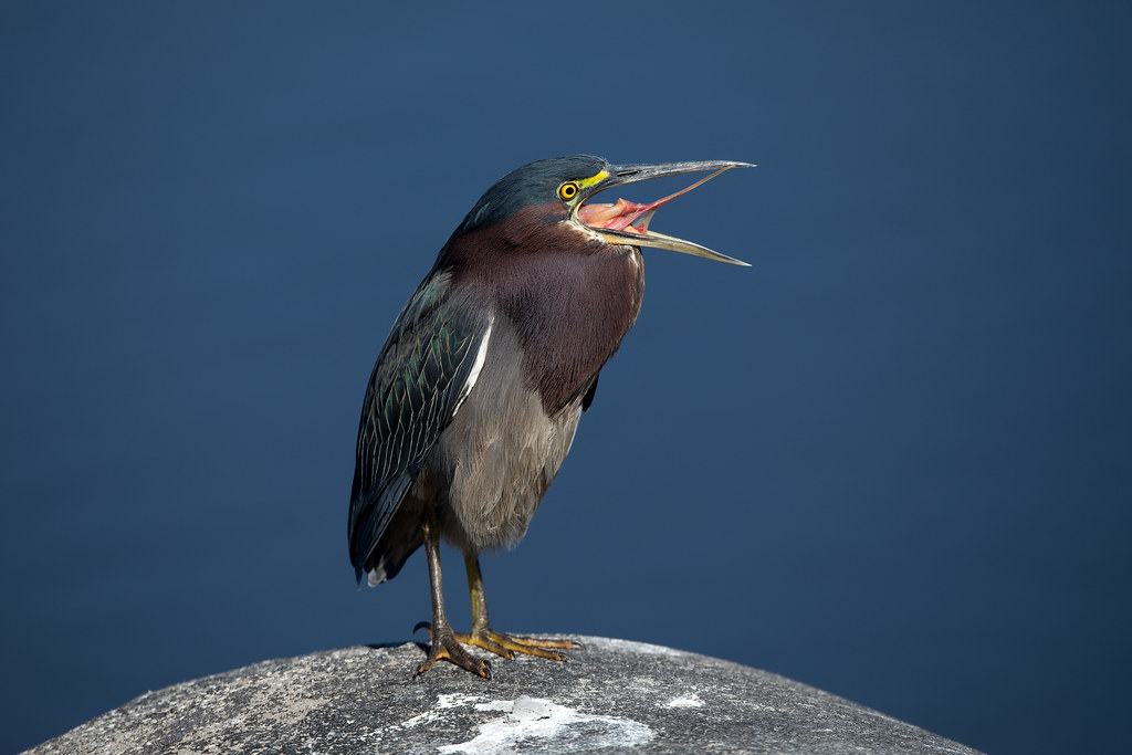
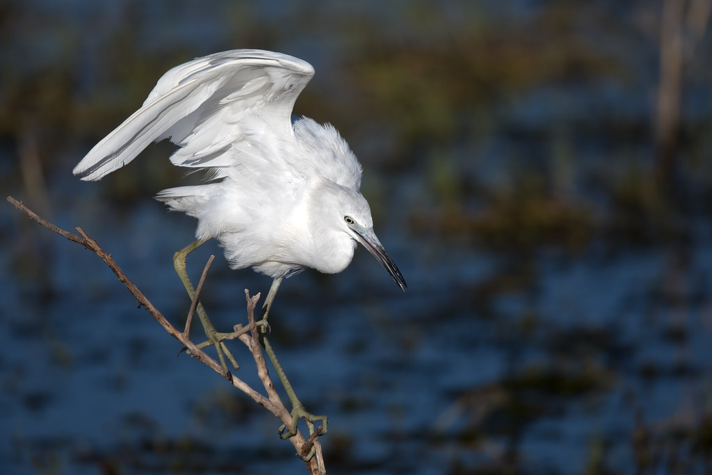
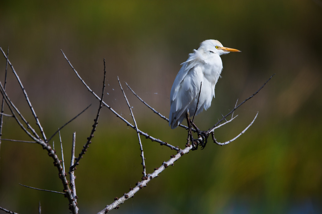
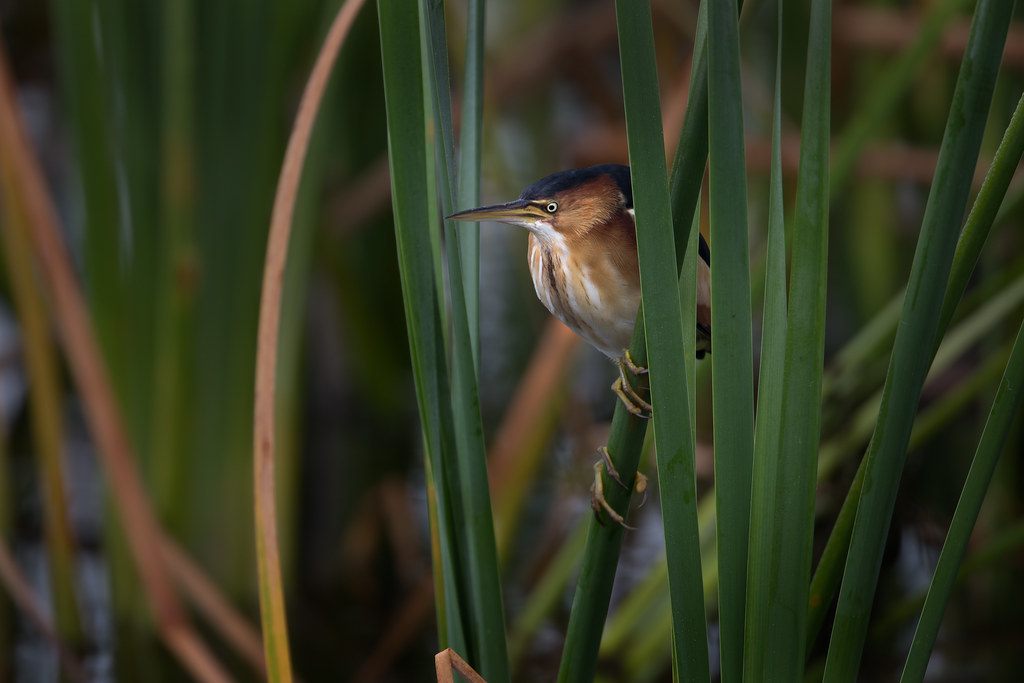
Related Photos:
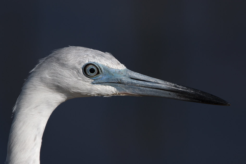
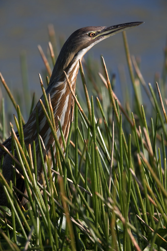
_D2_1487.jpg
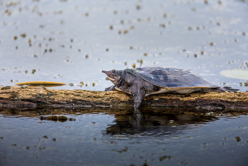
_M4_3029.jpg
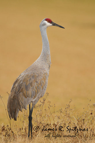
Sandhill Crane - Grus canadensis
_D2_4035bigtimecrop.jpg
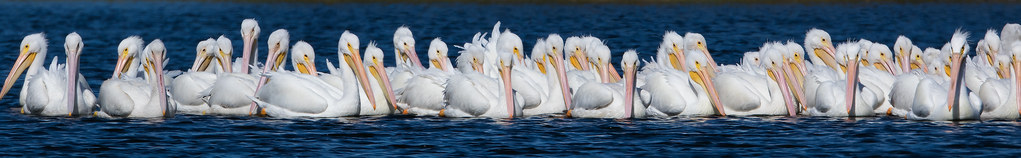
_M4_4692.jpg
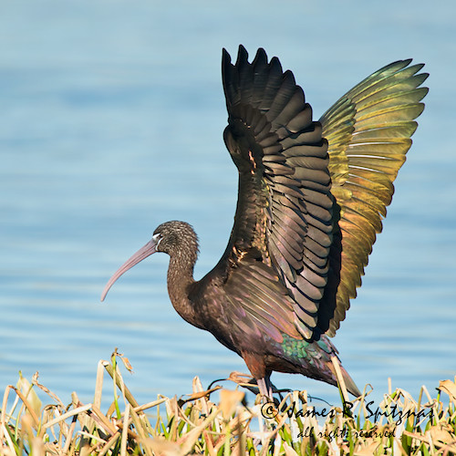
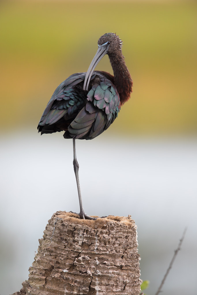
Glossy Ibis - Plegadis falcinellus
_D2_2650.jpg
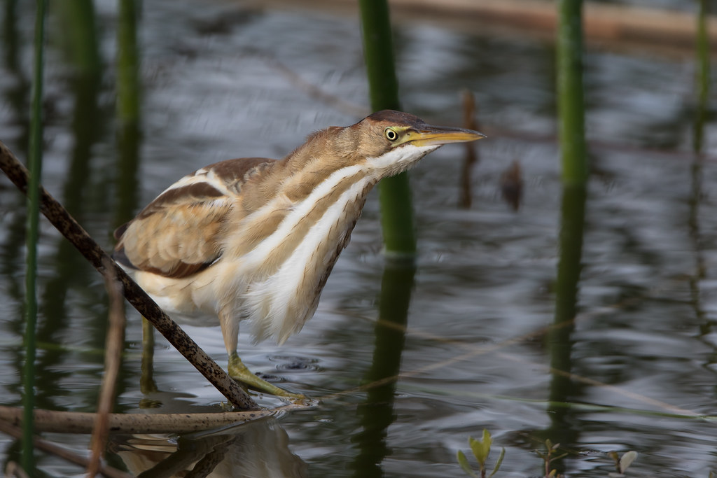
_M4_5111.jpg

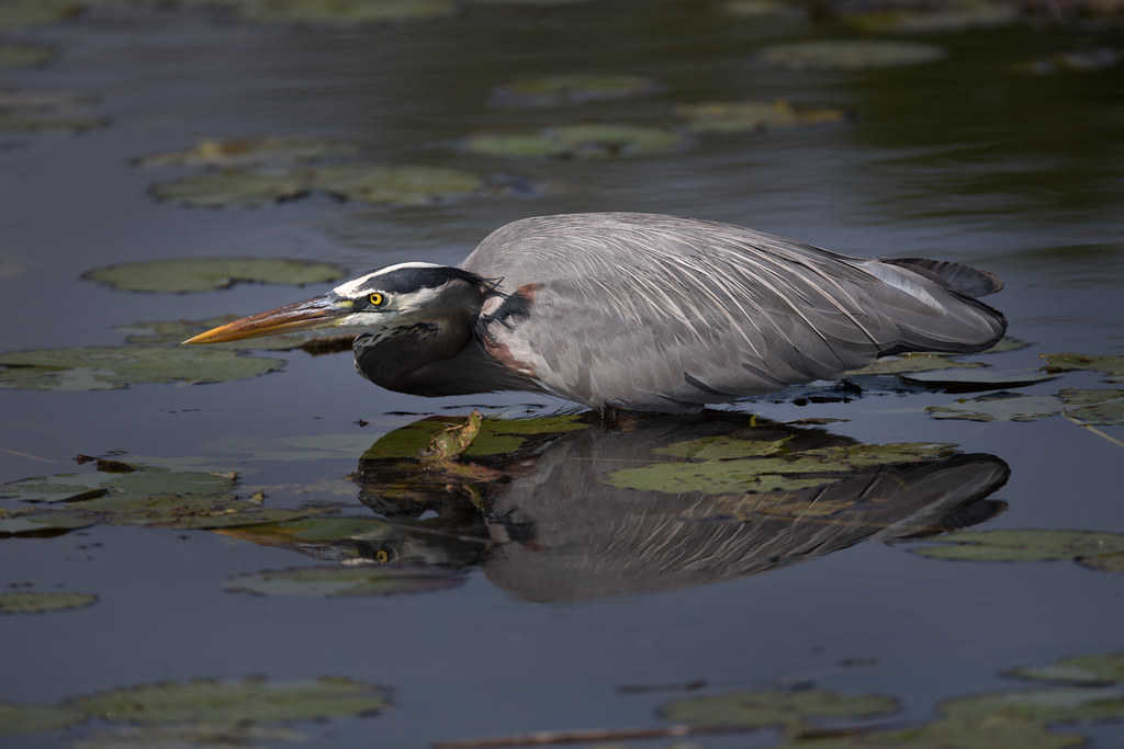
_M4_5488.jpg
_M4_2023.jpg

_D2_2041.jpg
_M4_3990.jpg

_D2_1210.jpg

_M4_5066.jpg

_M4_6501.jpg

_M4_3867.jpg
_M4_8340.jpg
_M4_0859.jpg
_RDX4995.jpg
_M4_0947.jpg
_M4_3890.jpg
Topographic Map of Sunset Bay Merritt Island, S Tropical Trail #, Merritt Island, FL, USA
Find elevation by address:

Places near Sunset Bay Merritt Island, S Tropical Trail #, Merritt Island, FL, USA:
225 S Tropical Trail
Merritt Winter Homes
54 S Tropical Trail
North Grove Street
480 Sail Ln
225 N Tropical Trail
225 N Tropical Trail
225 N Tropical Trail
Island Pointe
125 E Merritt Island Causeway
Sunnyside
26 Ocean St
200 N Courtenay Pkwy
215 E Merritt Island Causeway
215 E Merritt Island Causeway
180 E Merritt Ave
140 Minna Ln
140 Minna Ln #206
Merritt Apartment Sites
235 Hunt Dr
Recent Searches:
- Elevation of Shibuya Scramble Crossing, 21 Udagawacho, Shibuya City, Tokyo -, Japan
- Elevation of Jadagoniai, Kaunas District Municipality, Lithuania
- Elevation of Pagonija rock, Kranto 7-oji g. 8"N, Kaunas, Lithuania
- Elevation of Co Rd 87, Jamestown, CO, USA
- Elevation of Tenjo, Cundinamarca, Colombia
- Elevation of Côte-des-Neiges, Montreal, QC H4A 3J6, Canada
- Elevation of Bobcat Dr, Helena, MT, USA
- Elevation of Zu den Ihlowbergen, Althüttendorf, Germany
- Elevation of Badaber, Peshawar, Khyber Pakhtunkhwa, Pakistan
- Elevation of SE Heron Loop, Lincoln City, OR, USA