Elevation of Sunrise Dr, Gainesville, GA, USA
Location: United States > Georgia > Hall County > Gainesville >
Longitude: -83.792670
Latitude: 34.2980769
Elevation: 387m / 1270feet
Barometric Pressure: 97KPa
Elevation Map:
Satellite Map:
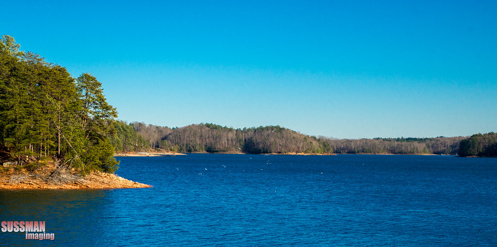
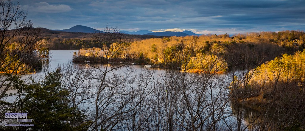
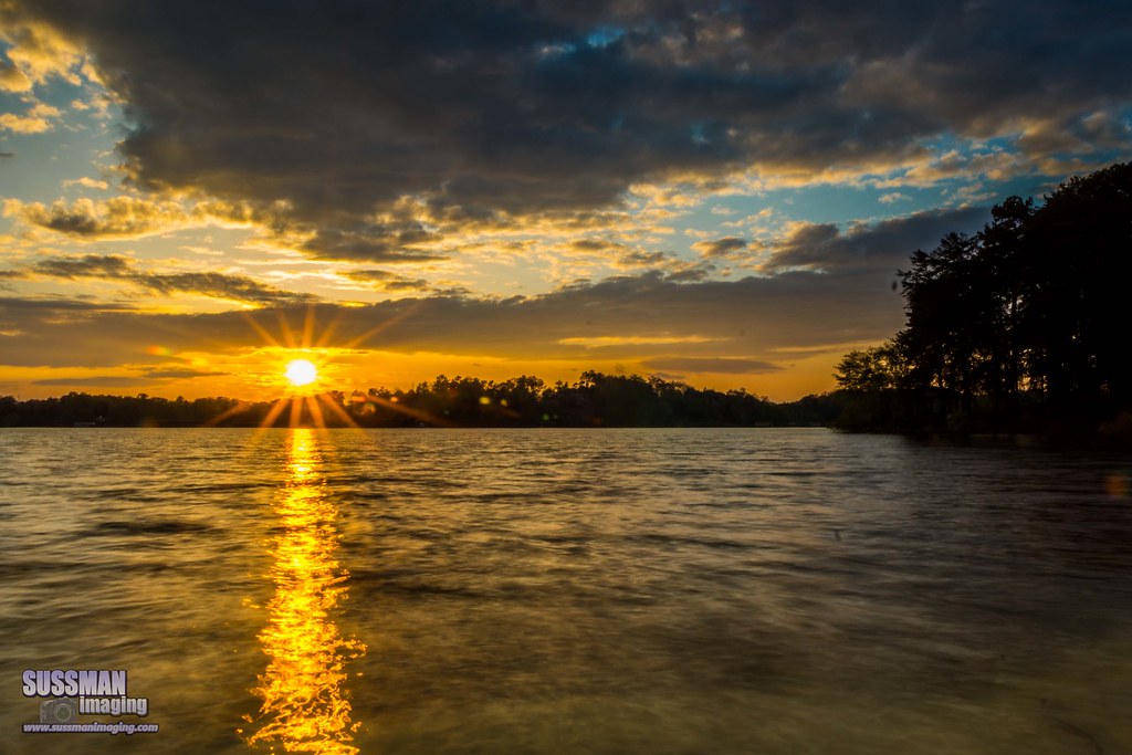
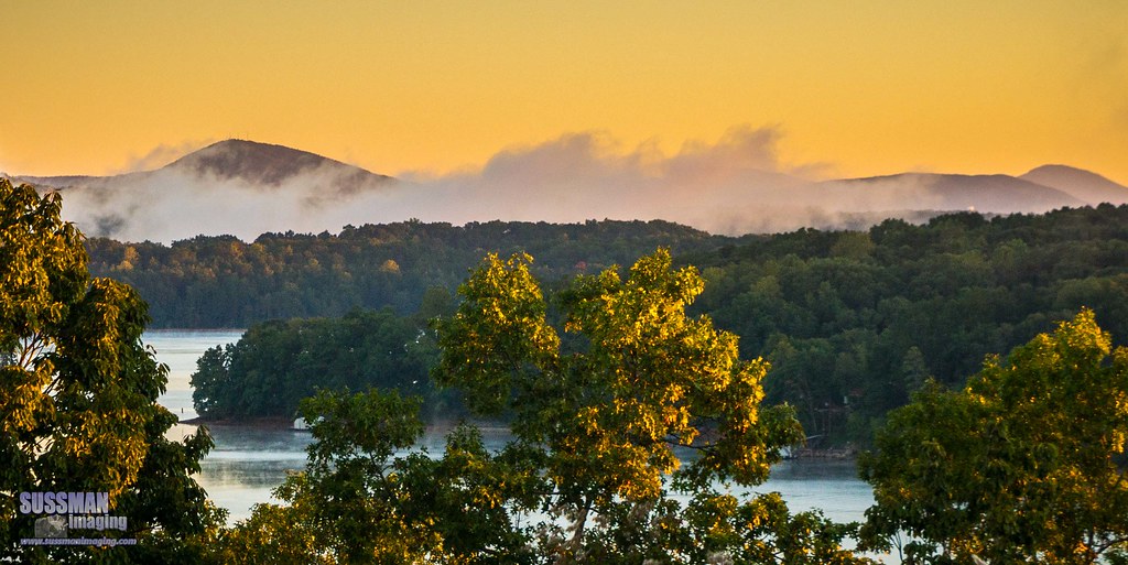
Related Photos:

Spanning Glass

IMG_0615-100401

Perfect Calm

Last Night's Sunset

Sunset - Federal Park

Sensitive Briar

Troubled Waters

1996 Olympic Rowing Venue

Clarks Bridge Park
Lake Lanier pano

Oh, Christmas tree

Wahoo Sunrise

Federal Sunset

Assuasive Moments

IMG_0643-100402

Calm after the Storm

Sunset on Lanier

Point Break

Sunset - Mountain View Park
Mountain view

Night Moves
Tuesday evening sunset

Friday night sunset

Sunset at Federal Park

View from a Stump

Point Lanier
Mountain fog
Sunrise reflection
Topographic Map of Sunrise Dr, Gainesville, GA, USA
Find elevation by address:

Places near Sunrise Dr, Gainesville, GA, USA:
Rogers Cir, Gainesville, GA, USA
1540 Monroe Dr
Hall County
Monroe Drive
Monroe Drive
1173 St Charles Pl
743 Spring St Ne
Shady Ln Dr, Gainesville, GA, USA
Gainesville
Hancock Ave Ext, Gainesville, GA, USA
The Norton Agency
Norton Dr, Gainesville, GA, USA
J & J Foods
1527 Burns Dr Ne
1020 Aviation Blvd
681 Ridgewood Ave
Randall St, Gainesville, GA, USA
The Trail Rd, Gainesville, GA, USA
Clarks Bridge Rd, Gainesville, GA, USA
2074 Riverwood Dr
Recent Searches:
- Elevation of Estates Loop, Priest River, ID, USA
- Elevation of Woodland Oak Pl, Thousand Oaks, CA, USA
- Elevation of Brownsdale Rd, Renfrew, PA, USA
- Elevation of Corcoran Ln, Suffolk, VA, USA
- Elevation of Mamala II, Sariaya, Quezon, Philippines
- Elevation of Sarangdanda, Nepal
- Elevation of 7 Waterfall Way, Tomball, TX, USA
- Elevation of SW 57th Ave, Portland, OR, USA
- Elevation of Crocker Dr, Vacaville, CA, USA
- Elevation of Pu Ngaol Community Meeting Hall, HWHM+3X7, Krong Saen Monourom, Cambodia