Elevation of Sunol, CA, USA
Location: United States > California > Alameda County >
Longitude: -121.88856
Latitude: 37.5943781
Elevation: 81m / 266feet
Barometric Pressure: 100KPa
Elevation Map:
Satellite Map:
Related Photos:

wheels on fire

mY first HDR
Steep targets

My fire in the light.
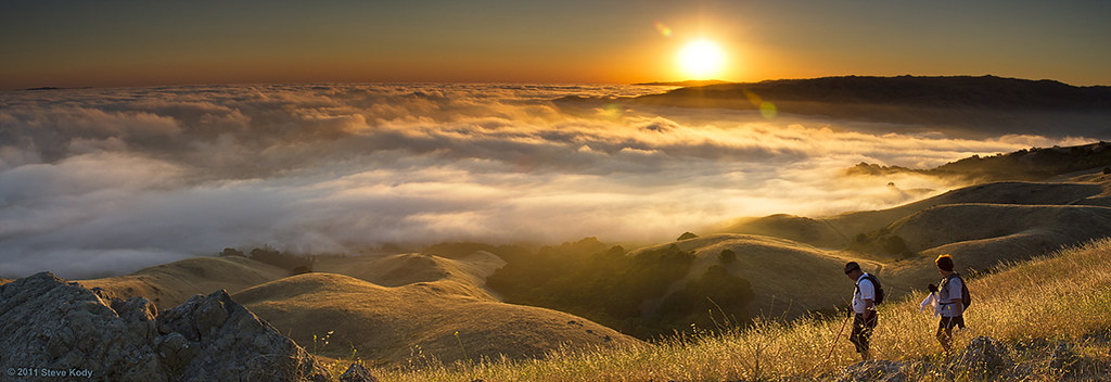
Dawn Hikers - Mission Peak
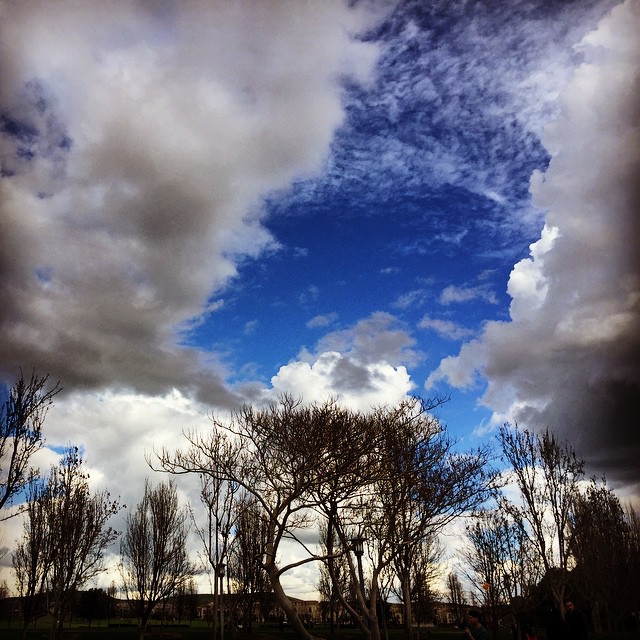
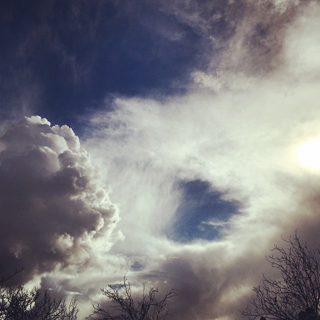
#tree #cloud #sky #blue #storm #view #winter
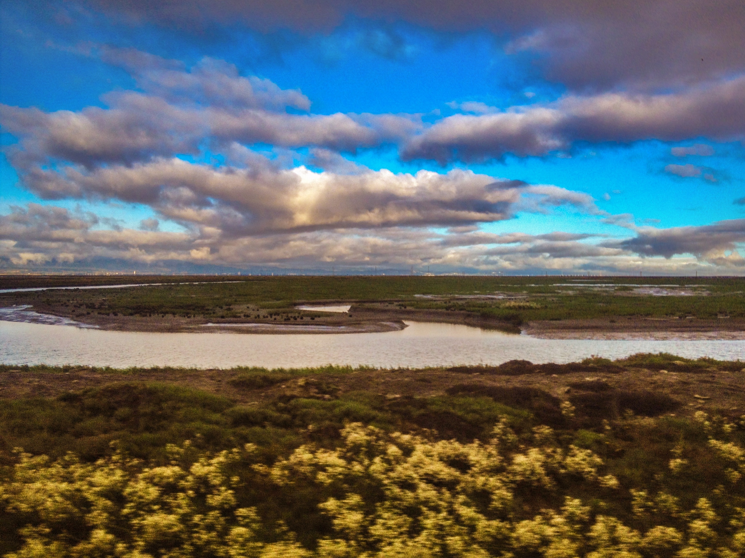
Foggy Days and Foggy Bays

curious squirrel

Ring of Blossoms

July 4th Fireworks

Mission Peak - New Years Day
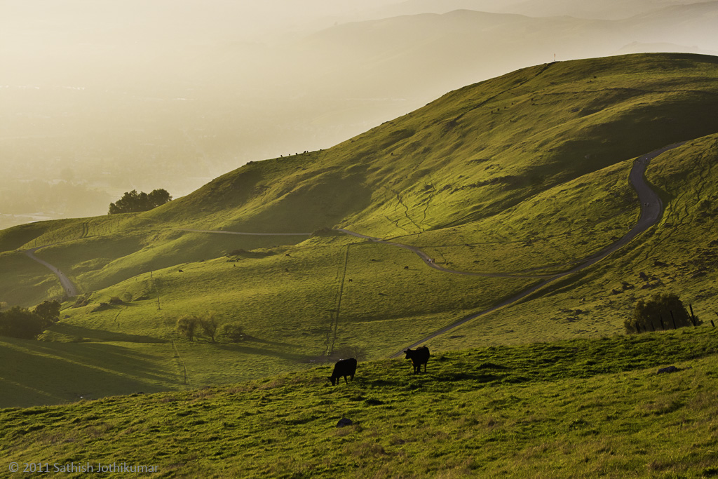
...meanwhile the cows carry on
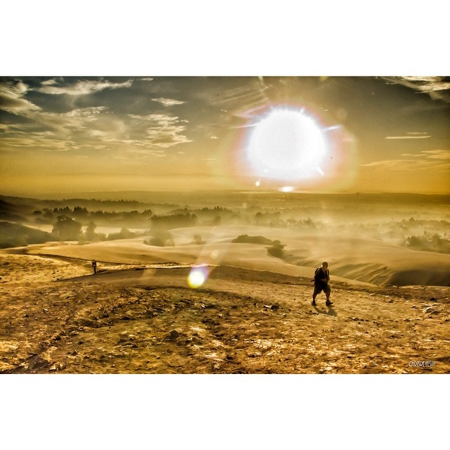
#cloud #sky #blue #circular #circle #sun #nature #view #scenery

Years Past

1/365

a pig of a squirrel

A Kiss by the Bouquet

DOF Waterdrops
South Bay #hiking - view from the top of #missionPeak. #omgnotfood

104/365 Scudderia nymph

Dew Droplet

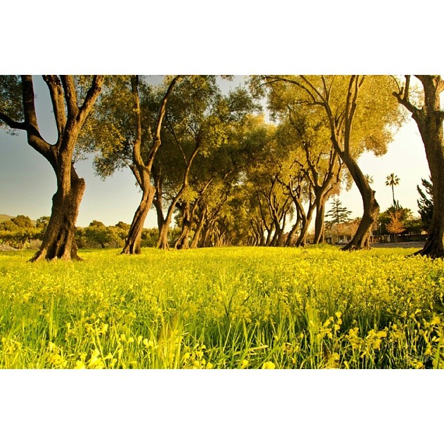
spring all the way

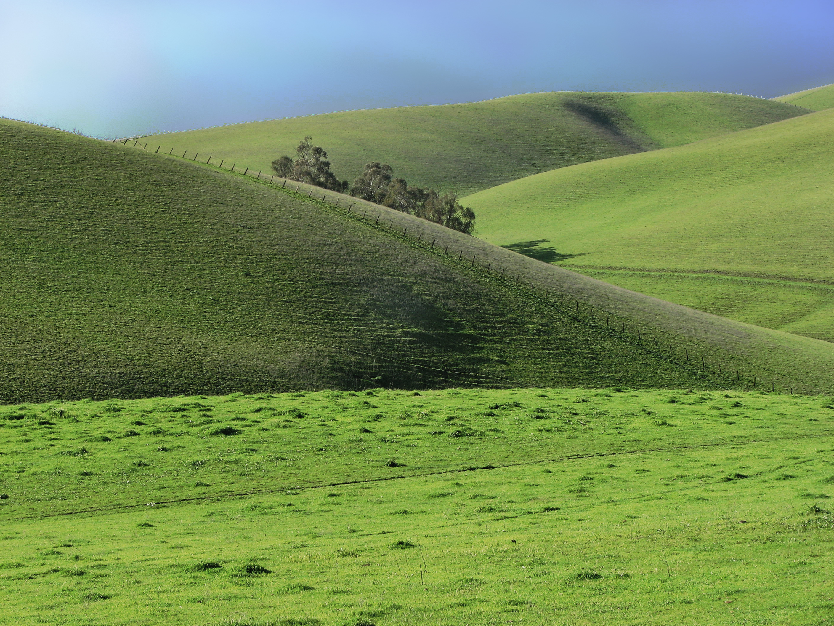
Green Pastors
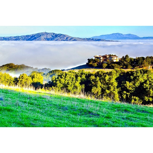
The mountains in their frontyard and the clouds as their backyard. I want one too! #missionpeak #house #seaofclouds #dream #california #fremont #hike #rei1440project #neverstopexploring #nofilter #outdoors #goldenhour

Easy way down

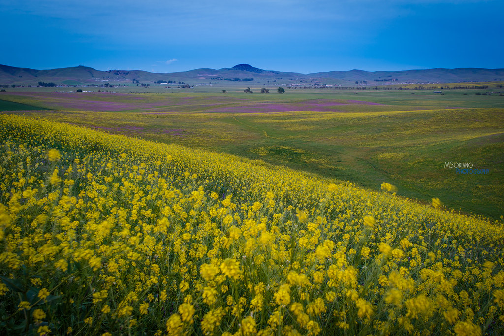
Trail to the Yellow Flowers
SF Bay
Our winter have been generally dry and warm. #notgood #california #drought #goldenhour #missionpeak #fremont #rei1440project #neverstopexploring #hiking #sun
Doolan Canyon
136/365

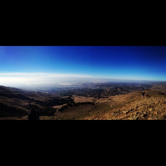
Night View of Tri-Valley
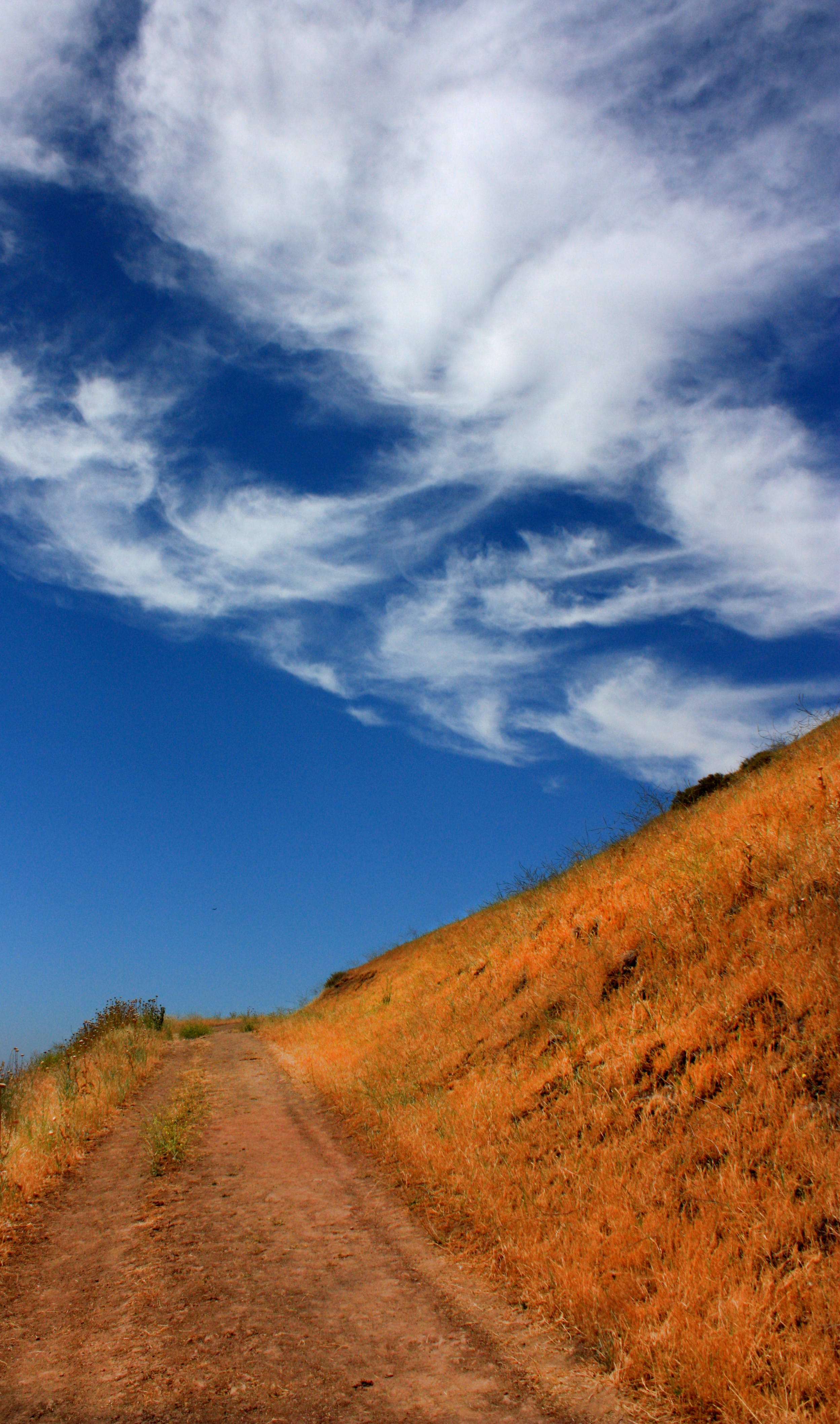
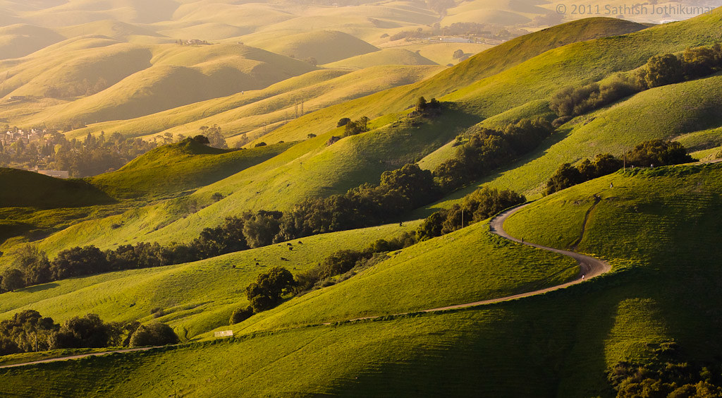
The Road

Back on top. I should do this every other day! Or everytime there's a MIA-OKC game. #missionpeak #fremont #hike
It's getting hotter each day!
Saturday afternoon hike
Livermore Spring
Eagle's Domain
SP 2472 in the Trestle
I would like to call this a "mountain shoreline" #missionpeak #hike #neverstopexploring #california #seaofclouds #rei1440project #outdoors #fremont #activelife #nofilter
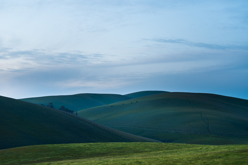
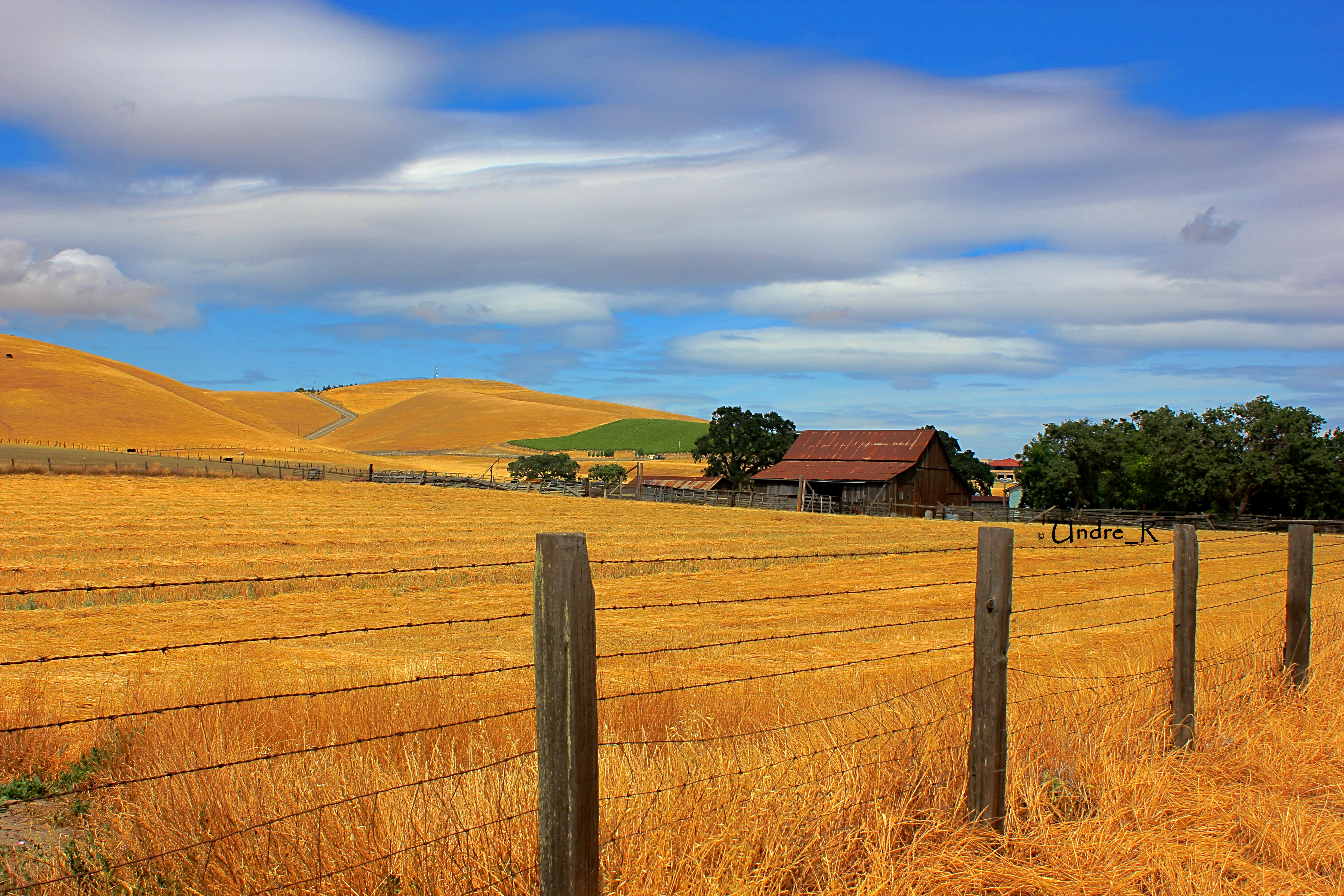
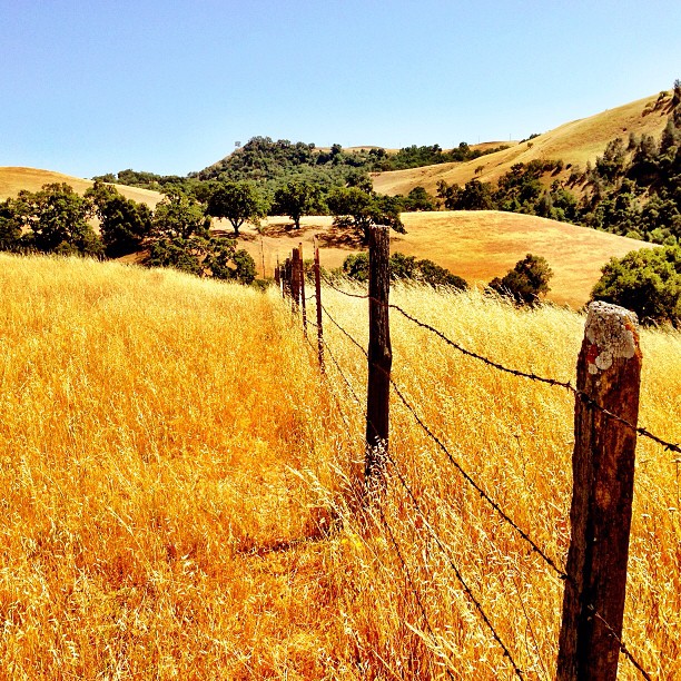
Light on the Hillside In Sunol Valley
Topographic Map of Sunol, CA, USA
Find elevation by address:

Places in Sunol, CA, USA:
Places near Sunol, CA, USA:
Calaveras Rd, Sunol, CA, USA
California Highway Patrol - Mission Grade Commercial Vehicle Enforcement Facility
Niles Canyon Rd, Castro Valley, CA, USA
42200 Vargas Rd
340 Castro Ln
Sunol Valley Water Treatment Plant
345 Castro Ln
Kimber - Gomes
Mission San Jose
158 Guadalupe Terrace
Canyon Heights - Vallejo Mills
Mission Valley
132 Montevideo Cir
Old Mission San Jose
243 Mission Tierra Pl
203 Mission Tierra Pl
Mission Blvd, Fremont, CA, USA
190 Las Palmas Ct
41751 Murphy Pl
403 Escobar St
Recent Searches:
- Elevation of Fern Rd, Whitmore, CA, USA
- Elevation of 62 Abbey St, Marshfield, MA, USA
- Elevation of Fernwood, Bradenton, FL, USA
- Elevation of Felindre, Swansea SA5 7LU, UK
- Elevation of Leyte Industrial Development Estate, Isabel, Leyte, Philippines
- Elevation of W Granada St, Tampa, FL, USA
- Elevation of Pykes Down, Ivybridge PL21 0BY, UK
- Elevation of Jalan Senandin, Lutong, Miri, Sarawak, Malaysia
- Elevation of Bilohirs'k
- Elevation of 30 Oak Lawn Dr, Barkhamsted, CT, USA