Elevation of Sunlight Rd, Parrottsville, TN, USA
Location: United States > Tennessee > Cocke County > Parrottsville >
Longitude: -83.035846
Latitude: 35.993237
Elevation: 439m / 1440feet
Barometric Pressure: 96KPa
Elevation Map:
Satellite Map:
Related Photos:

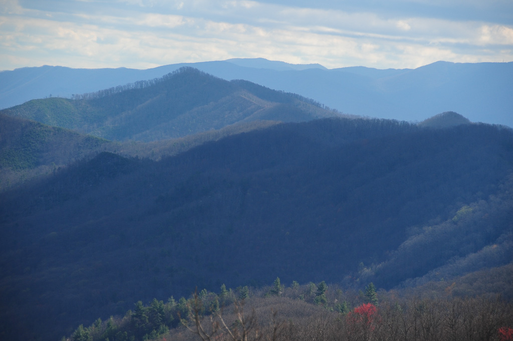
Houston Valley
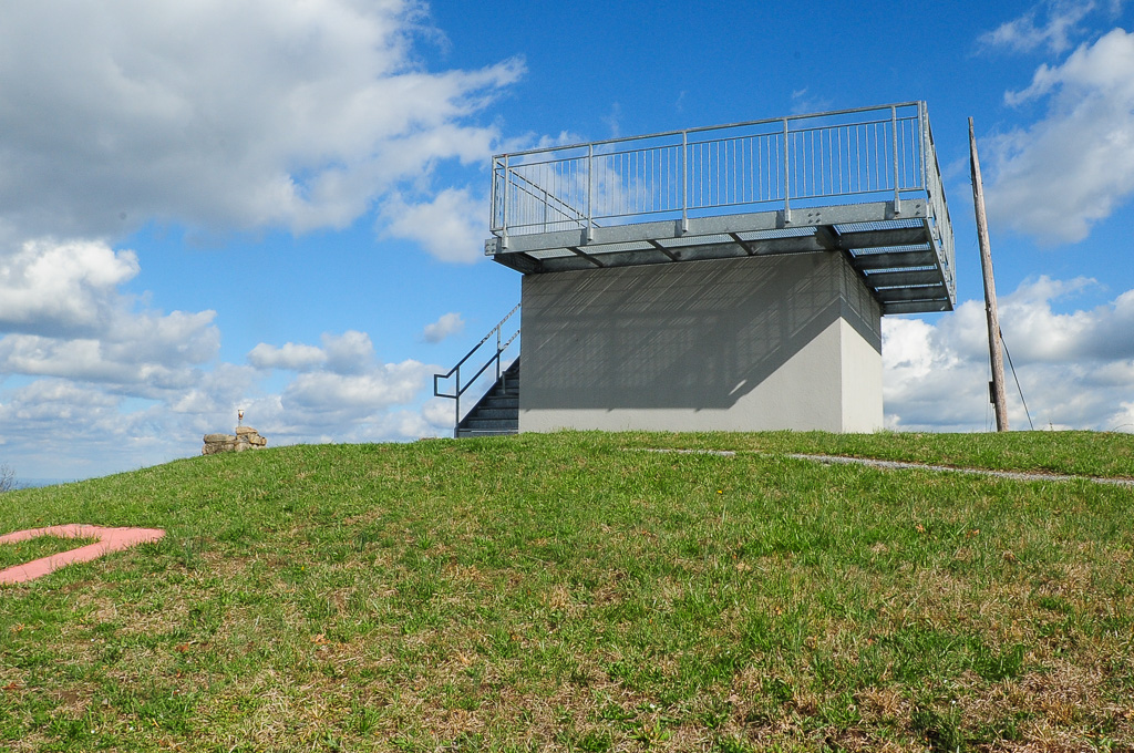
View from Meadow Creek Firetower
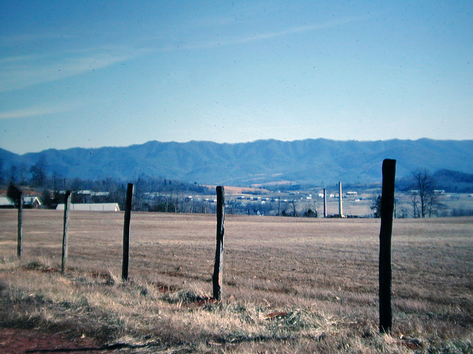
View at Newport, Tennessee, 1968
View from Meadow Creek Lookout
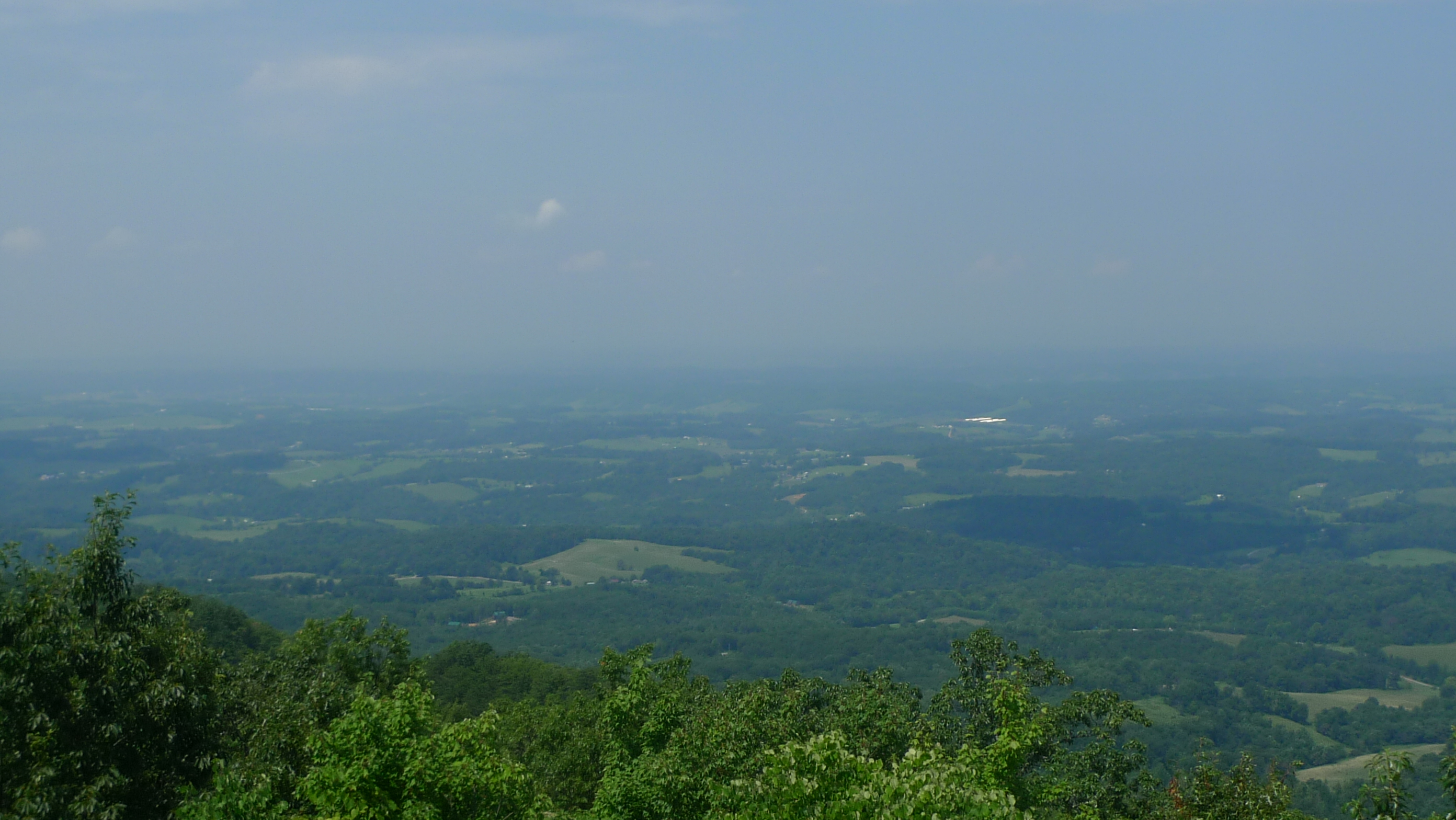
View to North from Meadow Creek Lookout

Rollin' Rollin' Rollin' my view from the backseat

Cocke County, TN Courthouse - Newport, TN

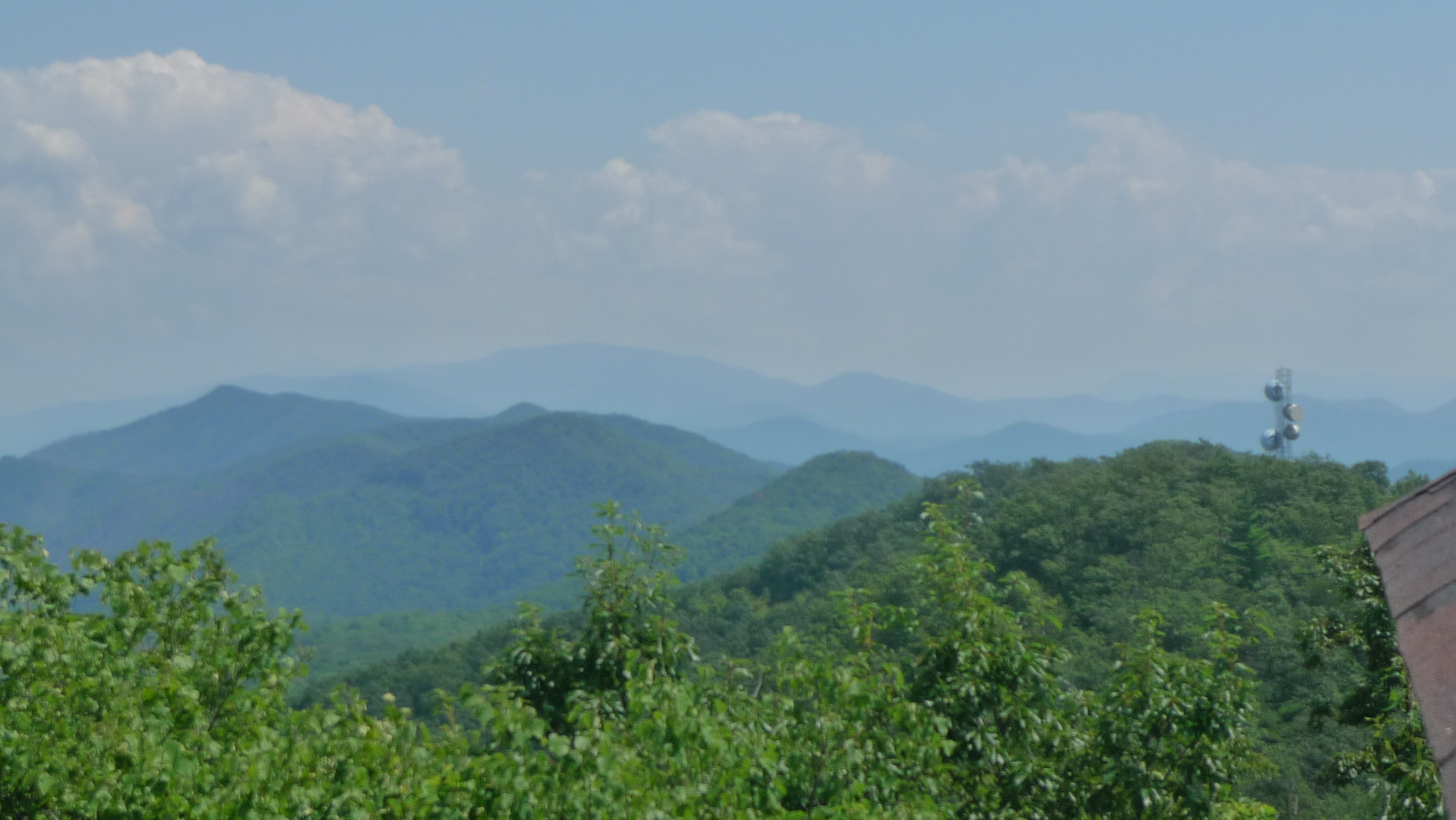
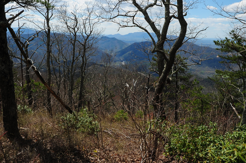
W4T/SU-073 - Cliffy Benchmark View
View of W4T/SU-053 - English Mtn
W4T/SU-073 - Cliffy Benchmark View
Trail View from W4T/SU-073 - Cliffy Benchmark

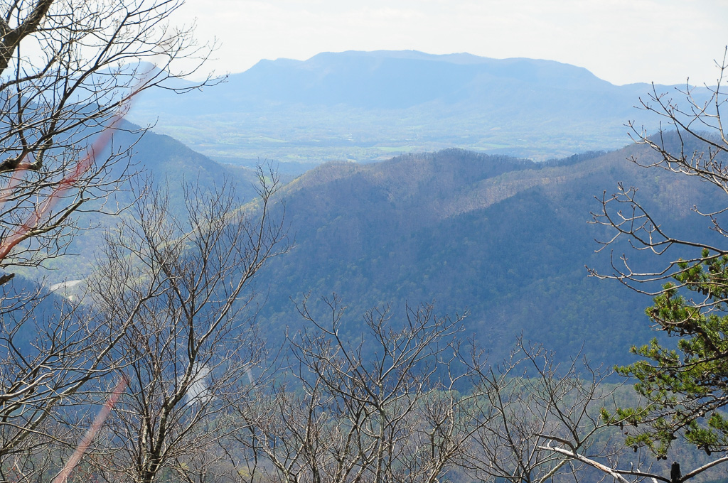
View from Meadow Creek Firetower

View from Meadow Creek Firetower
View from Meadow Creek Firetower

View from Meadow Creek Firetower
View of W4T/SU-073 - Cliffy Benchmark

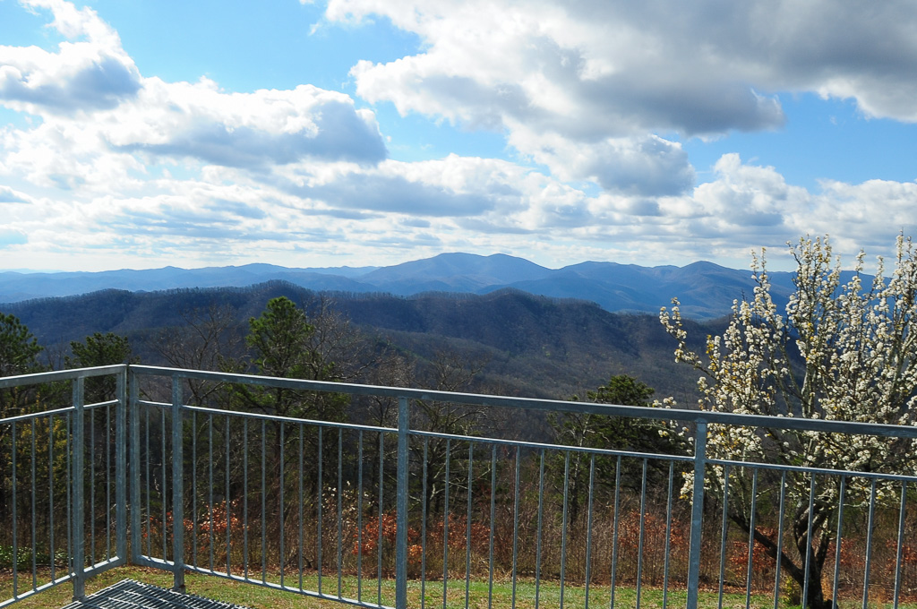
View of Cliffy Benchmark Ridgeline from Meadow Creek Firetower
View from Meadow Creek Firetower

View from Meadow Creek Firetower
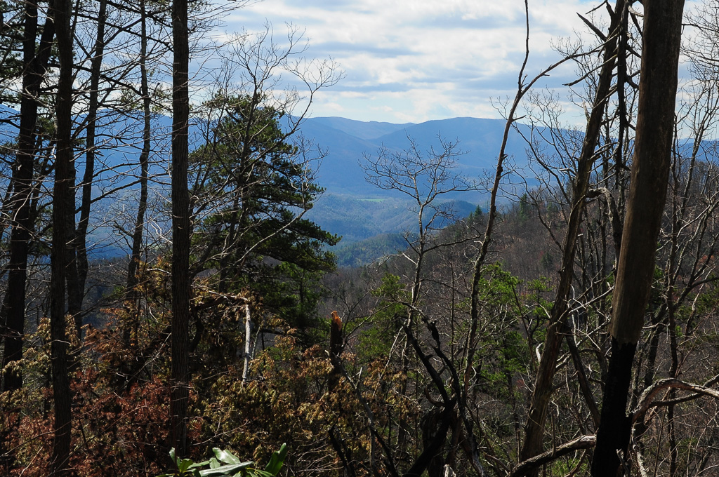
View of W4T/SU-095 - Paint Mtn from Trail

View from Trail to W4T/SU-095 - Paint Mtn
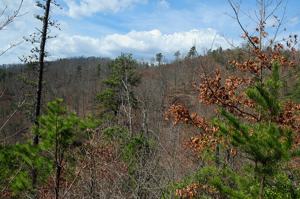
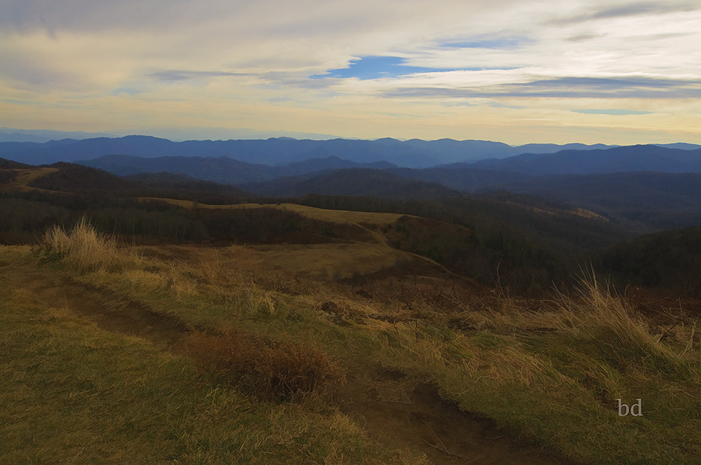
Parrottsville Country
French Broad River, near Hot Springs, NC

Allen Branch Pond, Cherokee National Forest, Tennessee

Neddy Mountain, Cherokee National Forest, Tennessee

Trail Intersection heading to W4T/SU-095 - Paint Mtn

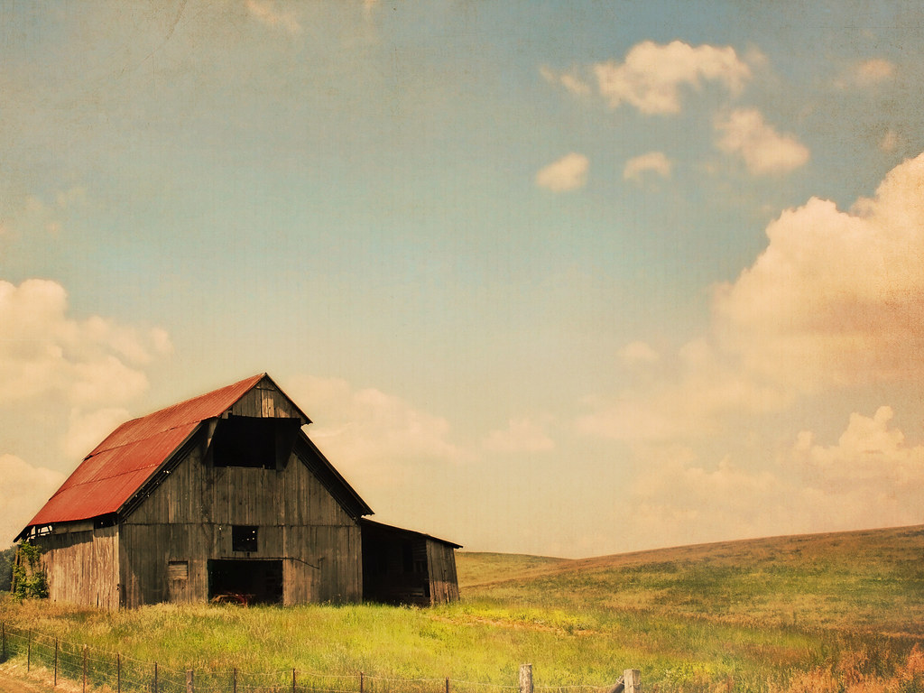
Beautiful Horse Farm in East Tennessee
Paint Creek under starlight
Max Patch - North Carolina - Appalachain Trail
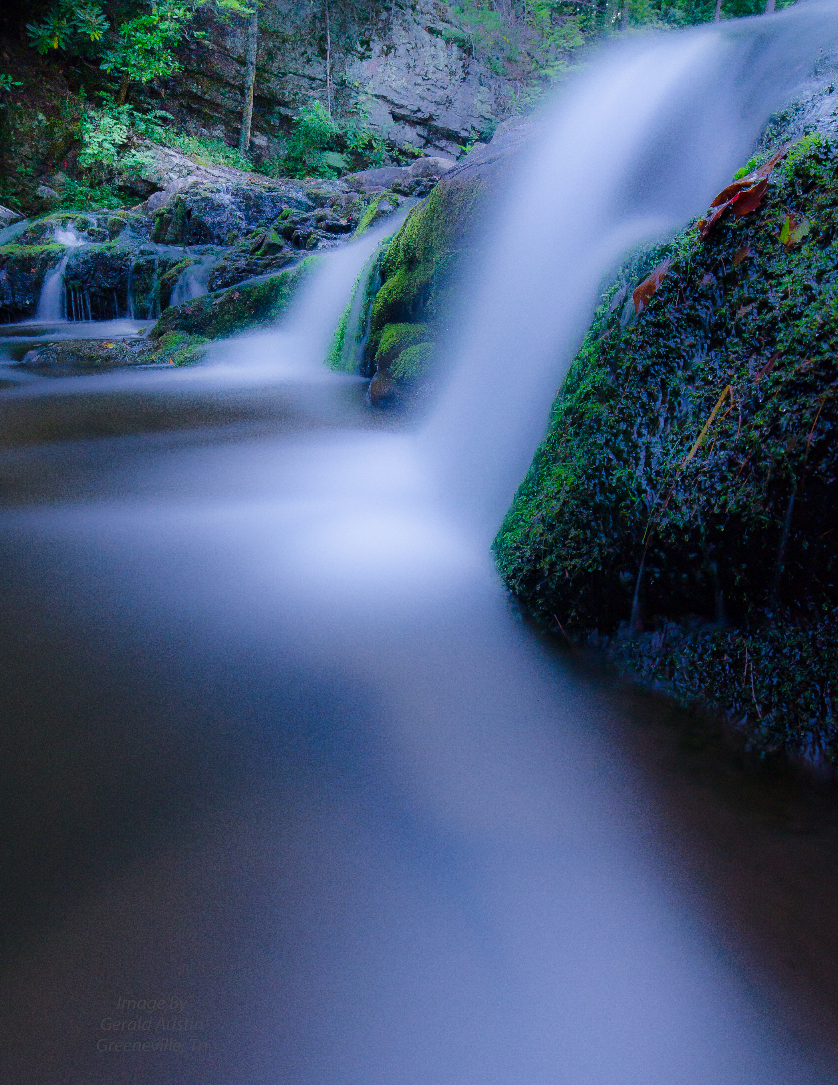
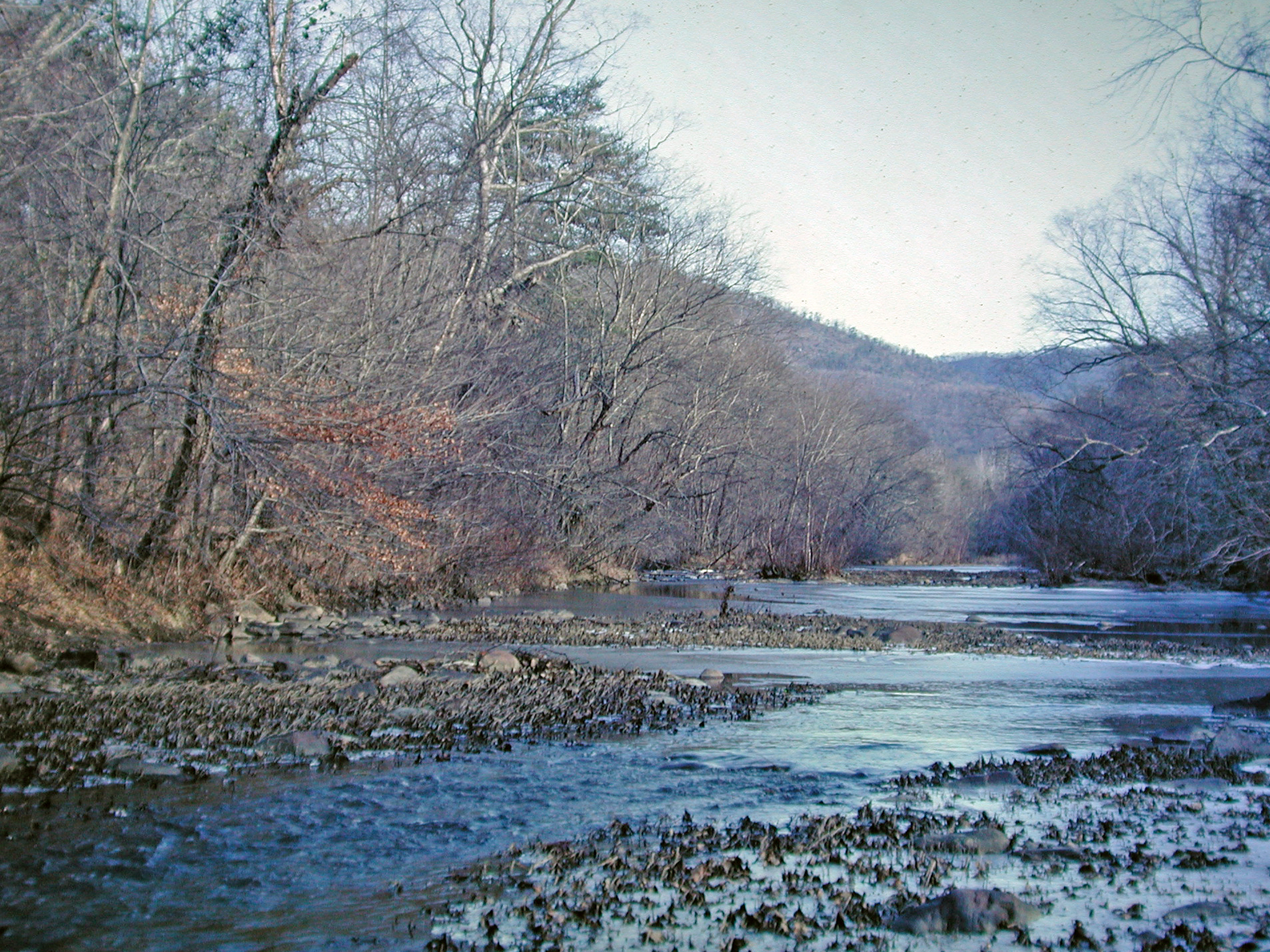
Paint Creek
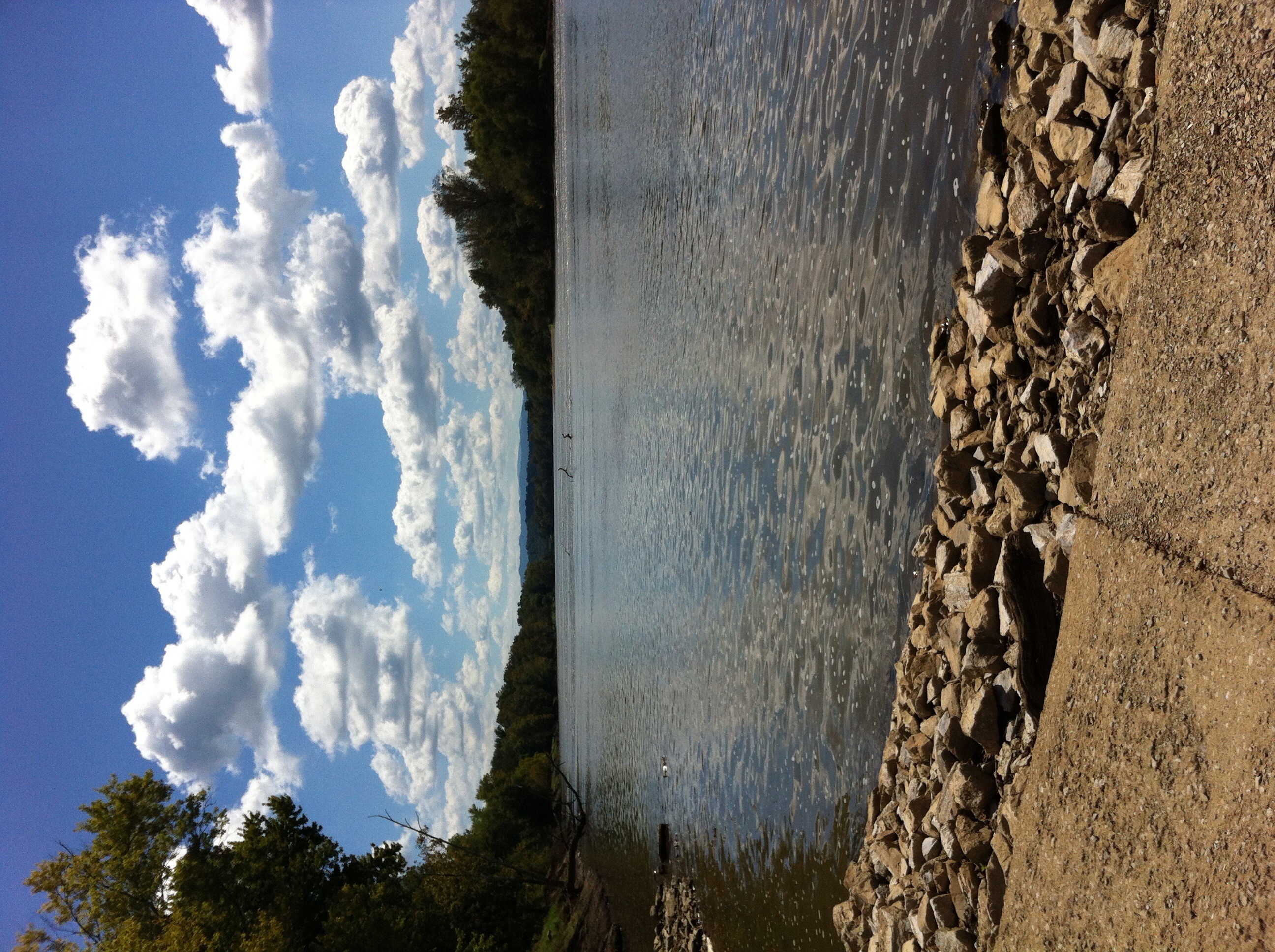
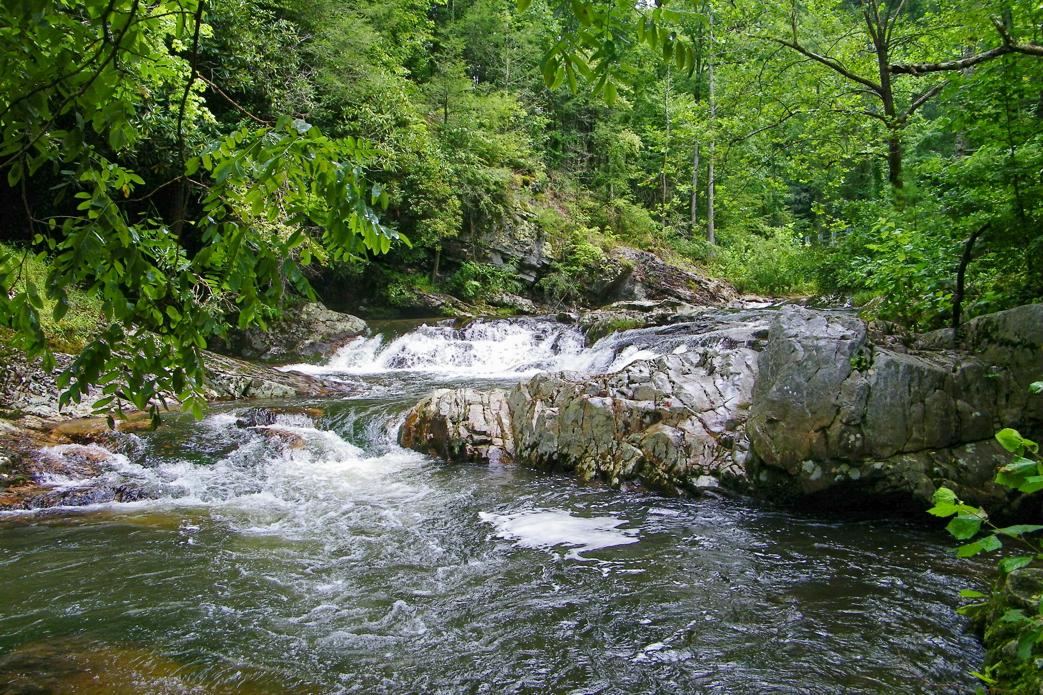
French Broad River
The French Broad River
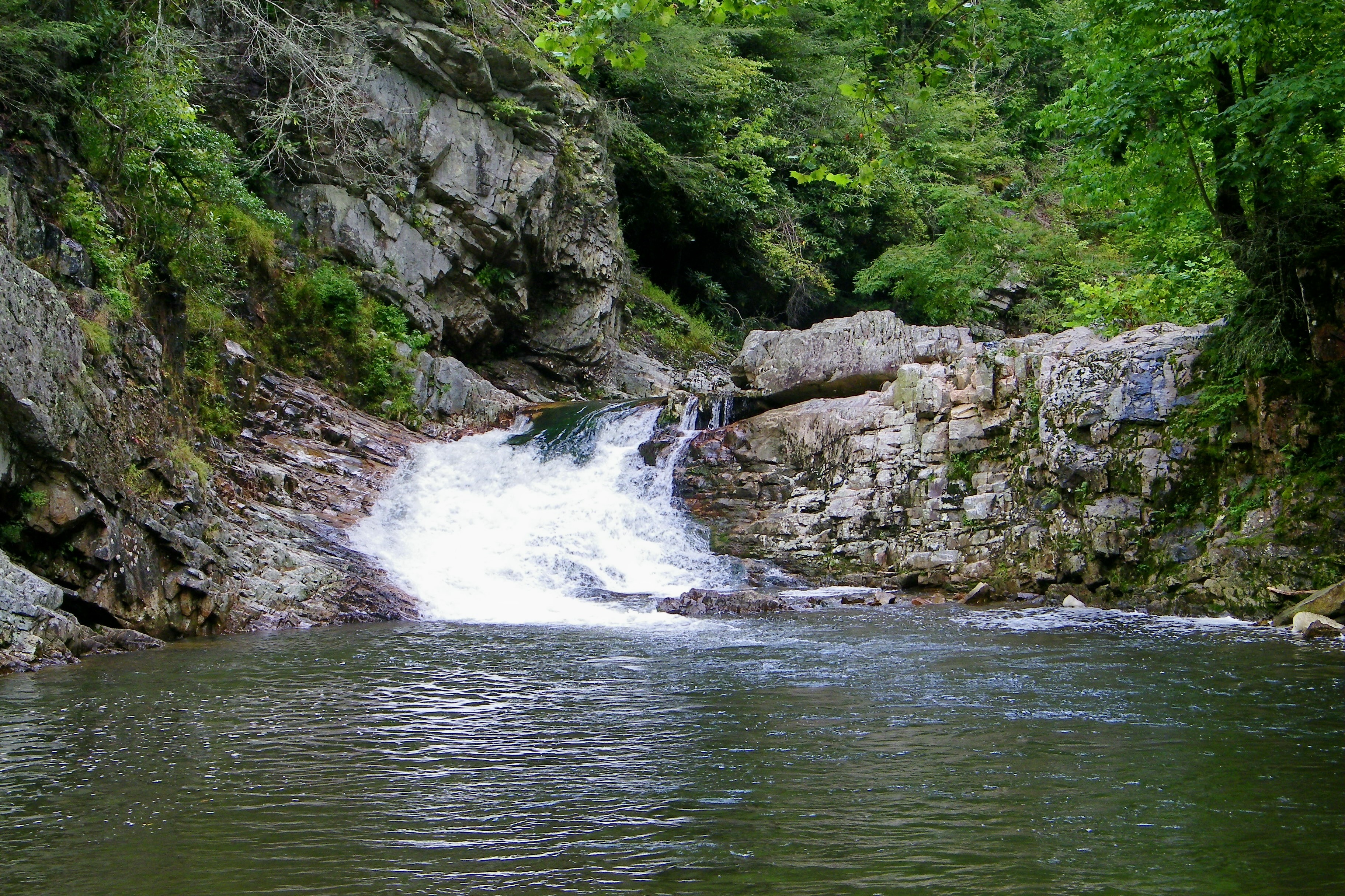
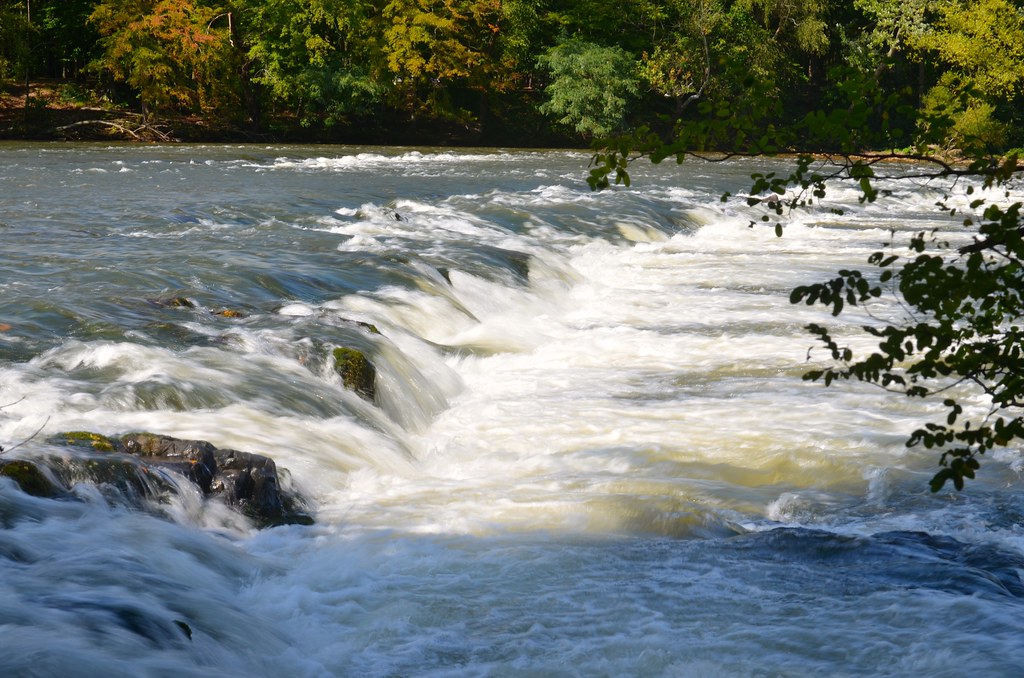
Dudley Falls
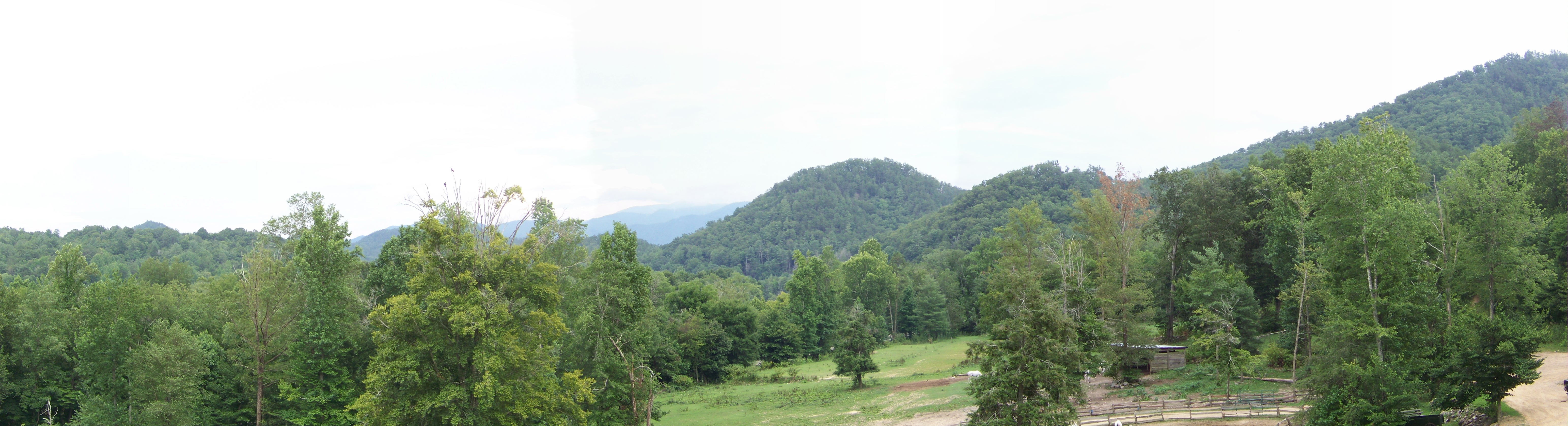
Panorama II
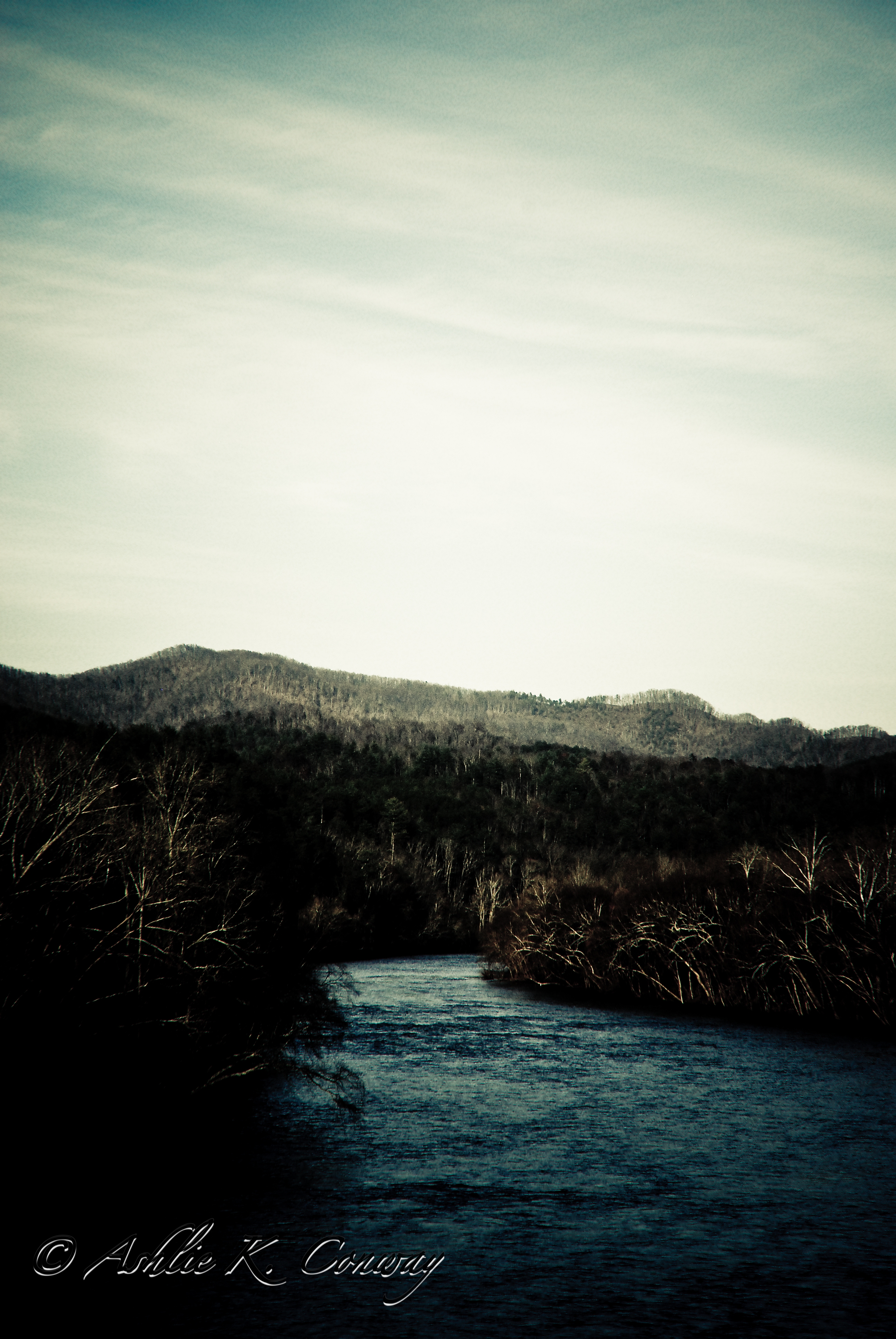
French Broad River
Topographic Map of Sunlight Rd, Parrottsville, TN, USA
Find elevation by address:

Places near Sunlight Rd, Parrottsville, TN, USA:
2814 Happy Hollow Rd
2435 Freshour Hollow Rd
1116 Rocky Rd
2679 Old Parrottsville Hwy
1271 Smoky Hollow Way
Pleasant View Way
131 Trentham Hollow Rd
225 Kiowa Way
3712 Sane Rd
Honey Lane
2411 Allen Chapel Rd
2315 Allen Chapel Rd
5987 Hopi Trail
Long Creek Rd, Parrottsville, TN, USA
Neddy Mountain Road
3760 Seminole Way
Gopher Way
2020 White Dove Way
Swatsell Lane
Swatsell Lane
Recent Searches:
- Elevation of Pu Ngaol Community Meeting Hall, HWHM+3X7, Krong Saen Monourom, Cambodia
- Elevation of Royal Ontario Museum, Queens Park, Toronto, ON M5S 2C6, Canada
- Elevation of Groblershoop, South Africa
- Elevation of Power Generation Enterprises | Industrial Diesel Generators, Oak Ave, Canyon Country, CA, USA
- Elevation of Chesaw Rd, Oroville, WA, USA
- Elevation of N, Mt Pleasant, UT, USA
- Elevation of 6 Rue Jules Ferry, Beausoleil, France
- Elevation of Sattva Horizon, 4JC6+G9P, Vinayak Nagar, Kattigenahalli, Bengaluru, Karnataka, India
- Elevation of Great Brook Sports, Gold Star Hwy, Groton, CT, USA
- Elevation of 10 Mountain Laurels Dr, Nashua, NH, USA