Elevation of Sunk Mountain Lane, Sunk Mountain Ln, Lenoir, NC, USA
Location: United States > North Carolina > Caldwell County > Little River >
Longitude: -81.368205
Latitude: 35.9604757
Elevation: 532m / 1745feet
Barometric Pressure: 95KPa
Elevation Map:
Satellite Map:
Related Photos:
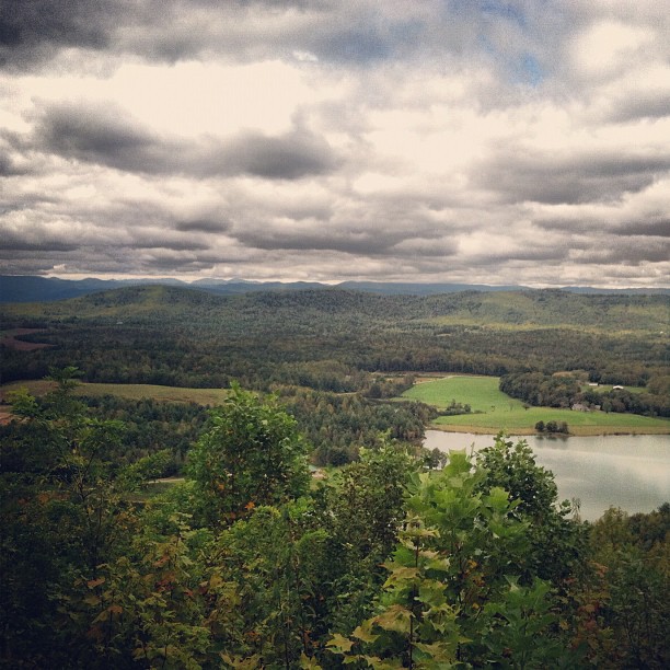
view after a 20 minute up hill hike.
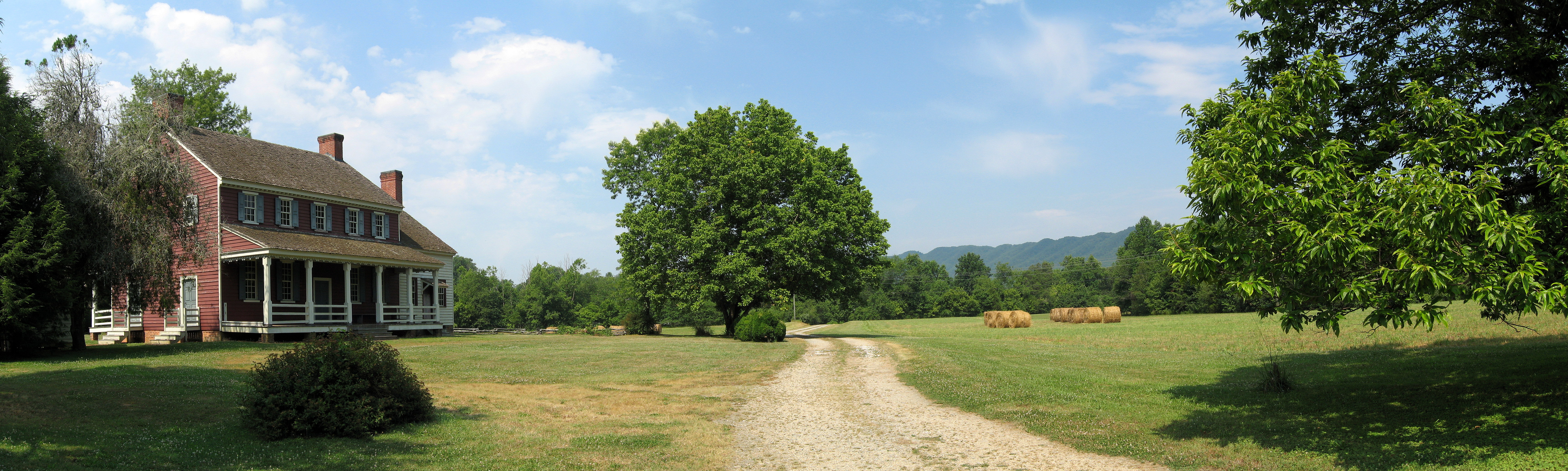
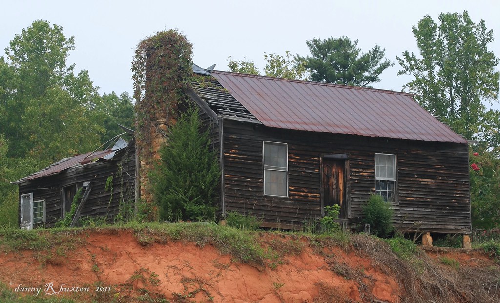
Fort Defiance
warmer weather is always welcome!!!
Uneasy Roads

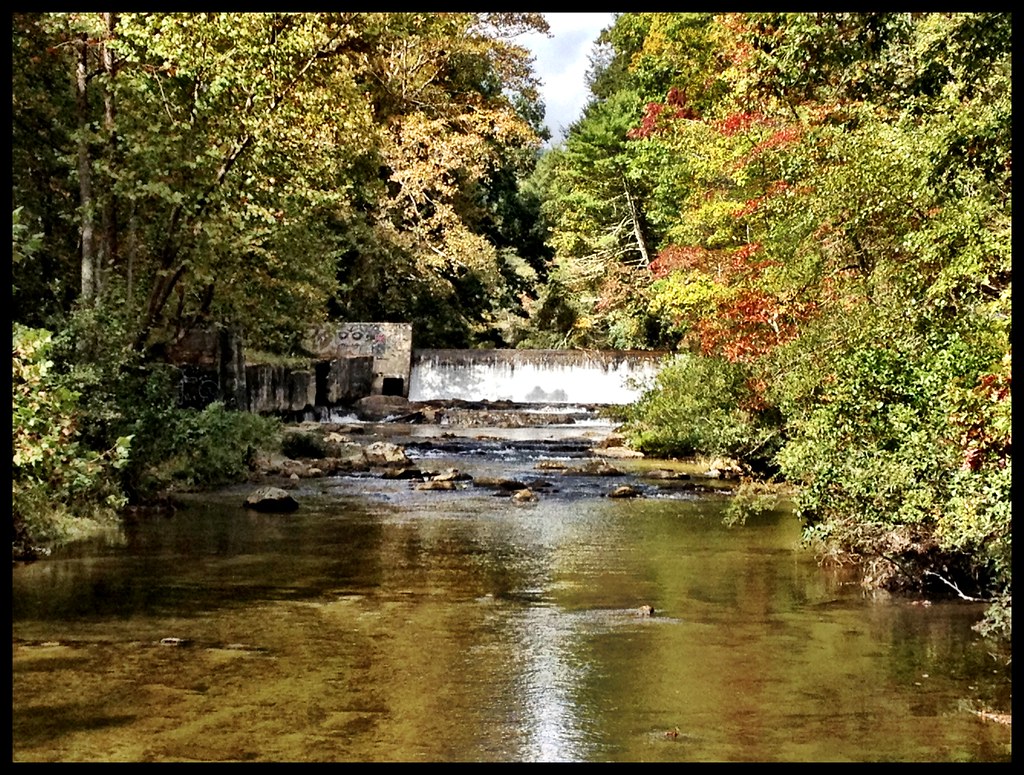
Gentle Flows
Crystal Falls
Watch Your Step! 262/365

tgiving-20081128-h1606a

Camera Roll-250
Camera Roll-234

Camera Roll-251

Camera Roll-235
Camera Roll-290
Camera Roll-230
Camera Roll-288

Camera Roll-287
Camera Roll-284
Camera Roll-283
Camera Roll-285
Camera Roll-231
Camera Roll-232

Camera Roll-233
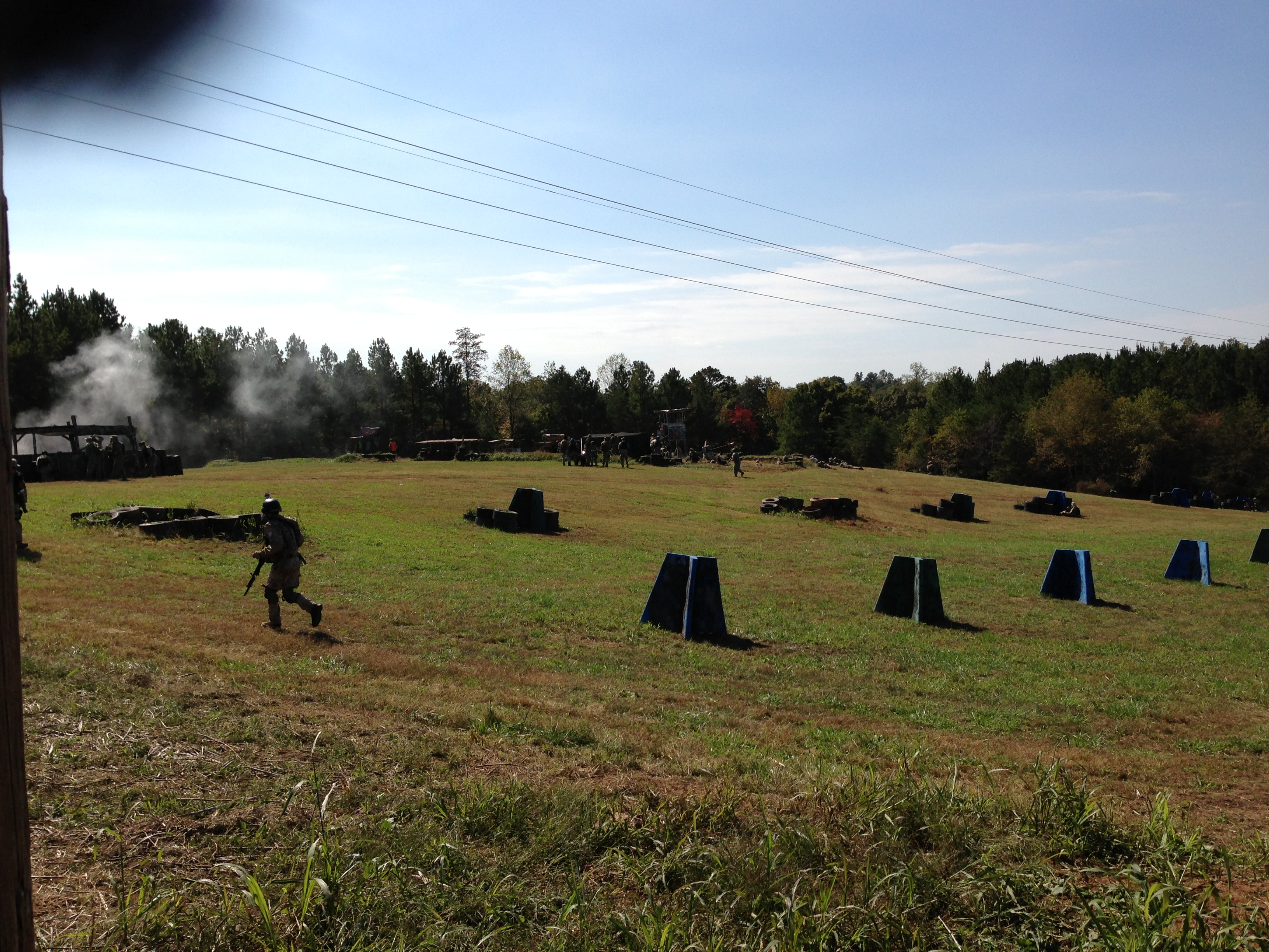
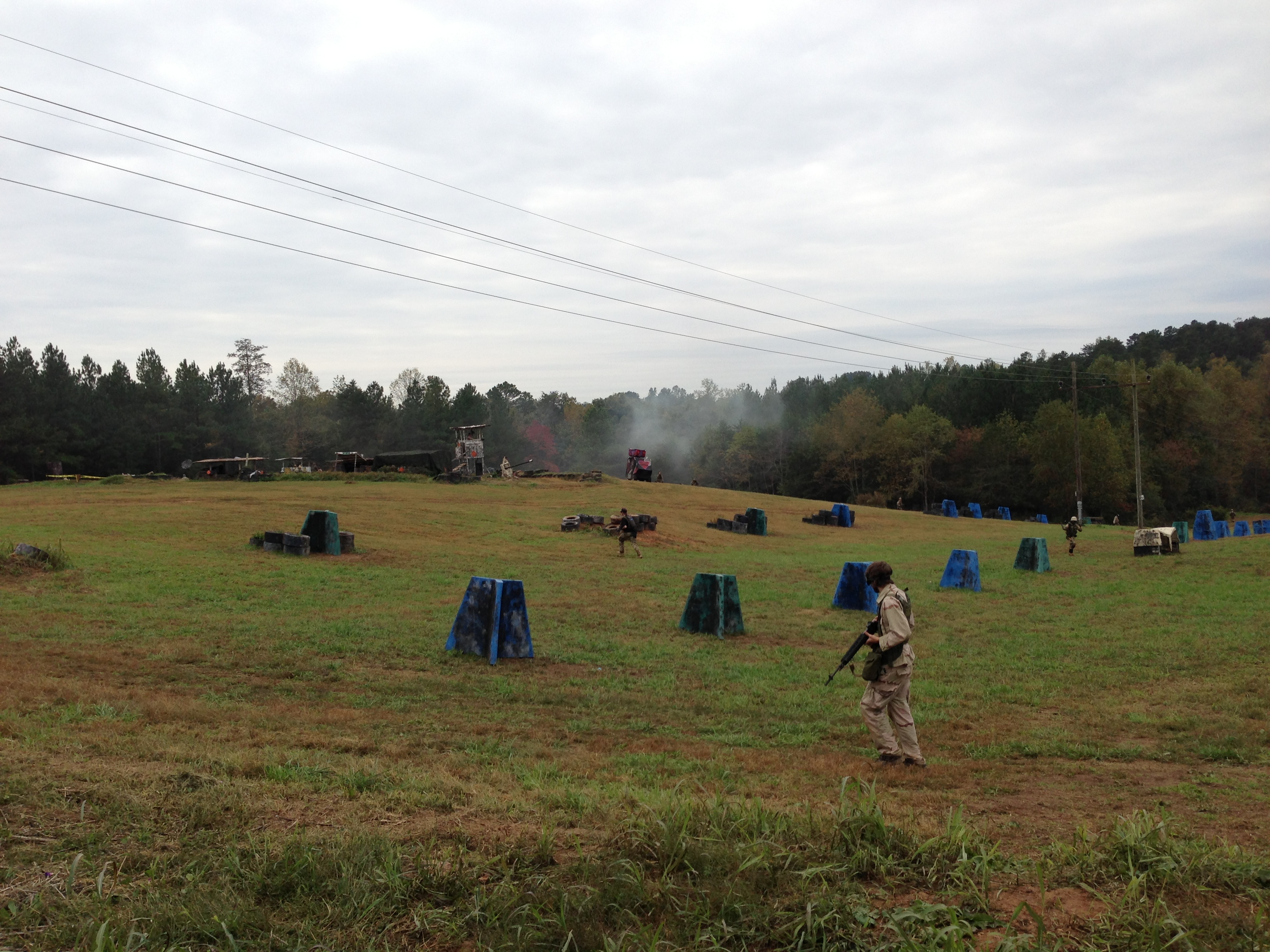
Green moves out
Topographic Map of Sunk Mountain Lane, Sunk Mountain Ln, Lenoir, NC, USA
Find elevation by address:

Places near Sunk Mountain Lane, Sunk Mountain Ln, Lenoir, NC, USA:
Parkview Road
2211 Fave Pl
White Springs Lane
Draco Rd, Lenoir, NC, USA
Draco Road
6174 Mill Pond Rd
Kings Creek
4119 Wilkesboro Blvd
Kings Creek
Hollow Springs Circle
Hickory Knob
3360 Blue Creek Rd
3360 Blue Creek Rd
Wilkesboro Blvd, Lenoir, NC, USA
3778 Rosewood Mountain Ln
746 Stillwater Rd
Bullinger Mountain
Little River
Jay Haas Ln, Lenoir, NC, USA
1490 Mcrary Creek Rd
Recent Searches:
- Elevation of Warwick, RI, USA
- Elevation of Fern Rd, Whitmore, CA, USA
- Elevation of 62 Abbey St, Marshfield, MA, USA
- Elevation of Fernwood, Bradenton, FL, USA
- Elevation of Felindre, Swansea SA5 7LU, UK
- Elevation of Leyte Industrial Development Estate, Isabel, Leyte, Philippines
- Elevation of W Granada St, Tampa, FL, USA
- Elevation of Pykes Down, Ivybridge PL21 0BY, UK
- Elevation of Jalan Senandin, Lutong, Miri, Sarawak, Malaysia
- Elevation of Bilohirs'k