Elevation of Sundown, NY, USA
Location: United States > New York > Ulster County > Denning >
Longitude: -74.460154
Latitude: 41.8878706
Elevation: 311m / 1020feet
Barometric Pressure: 98KPa
Elevation Map:
Satellite Map:
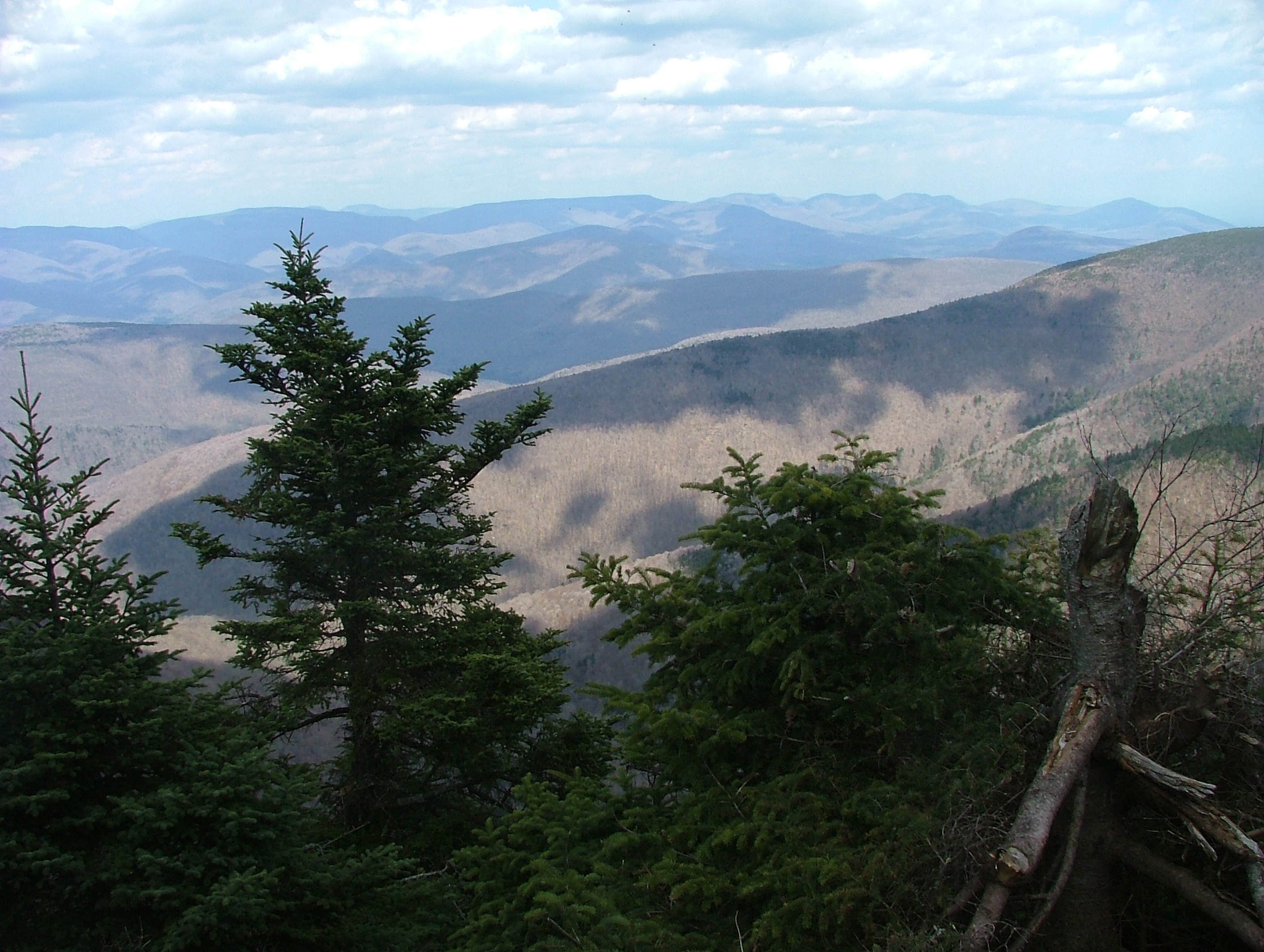
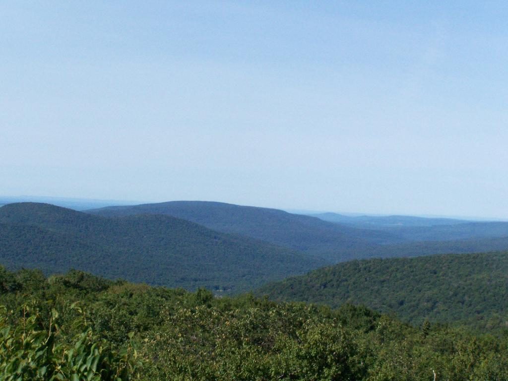
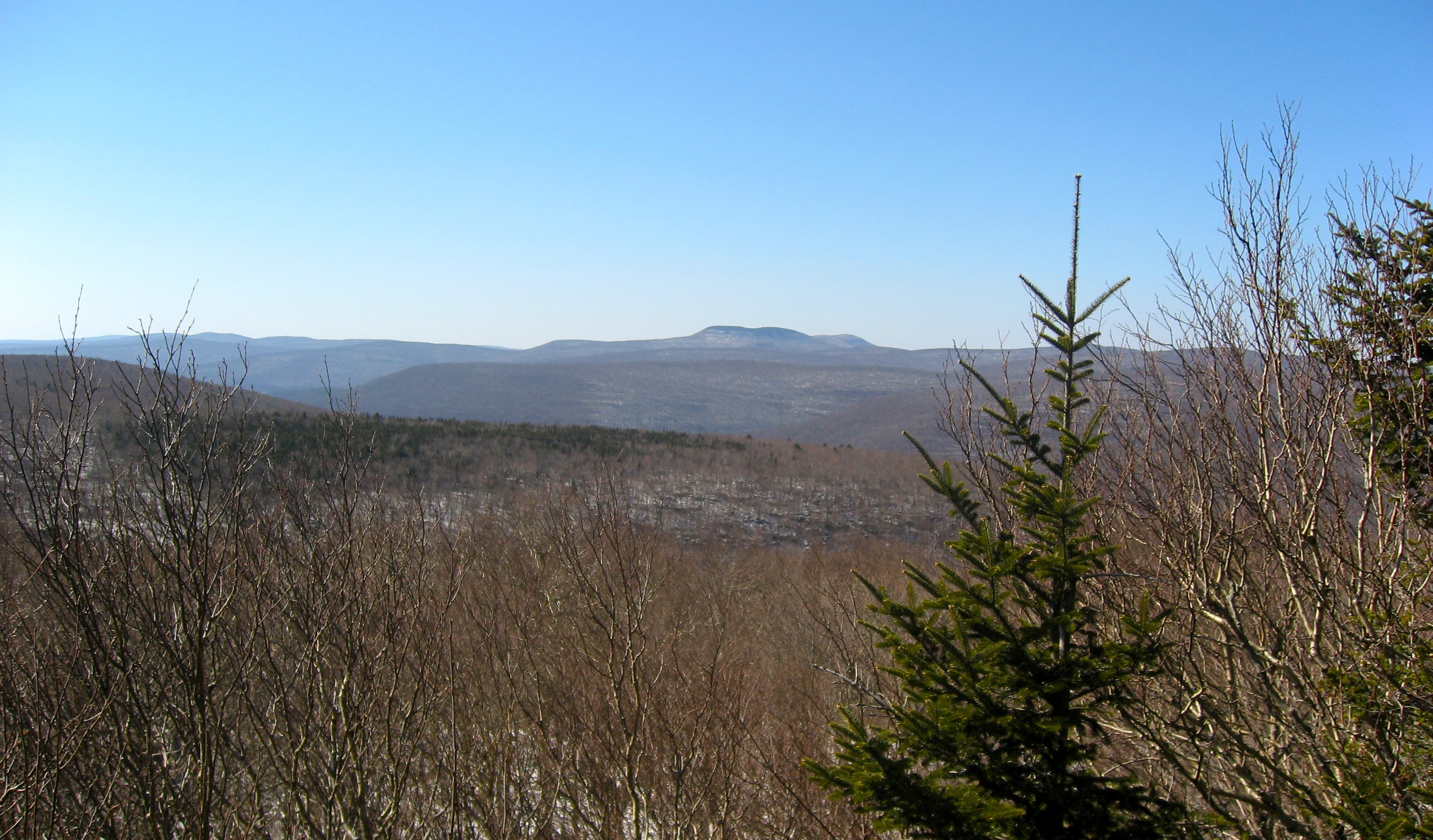
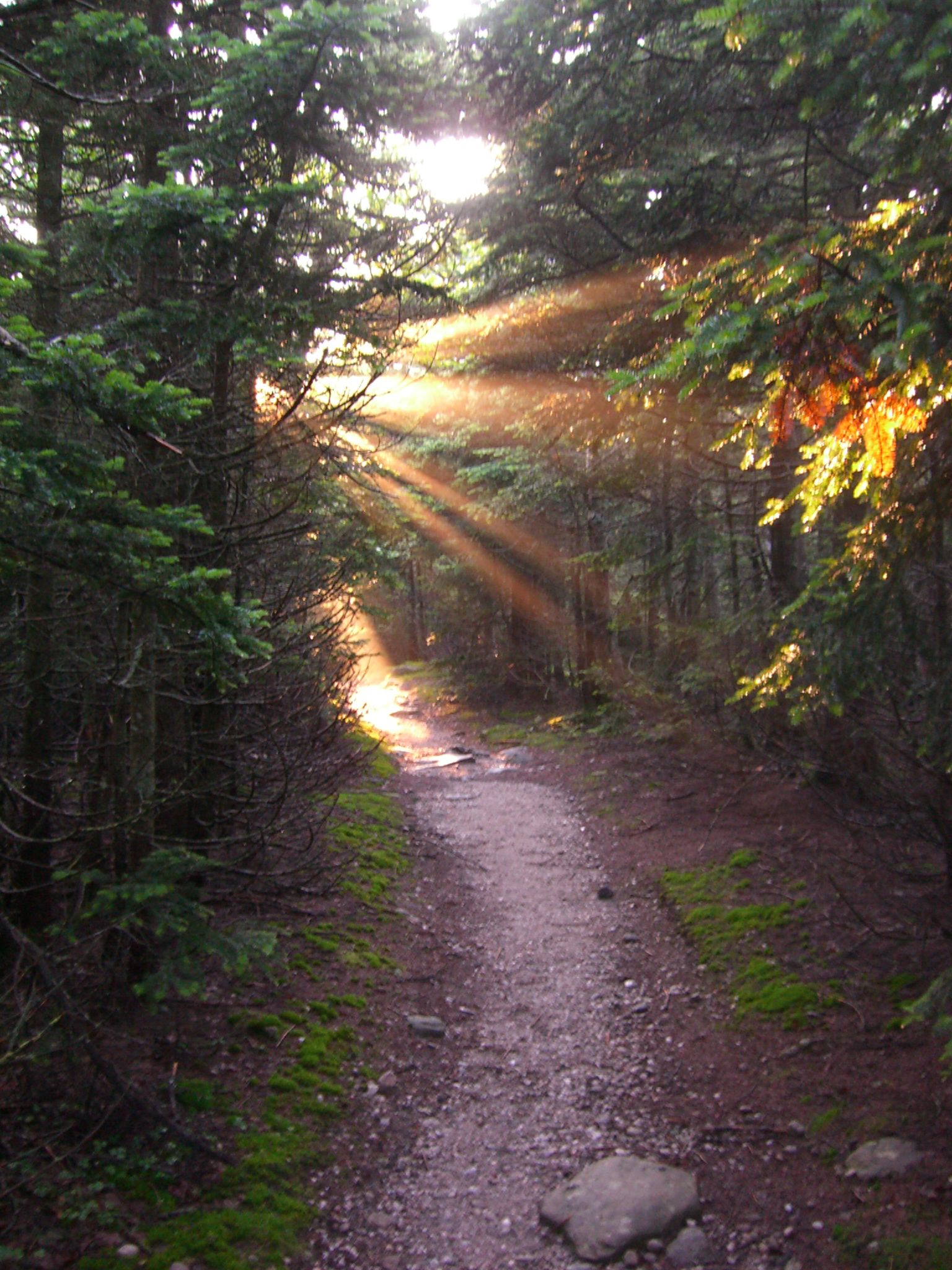
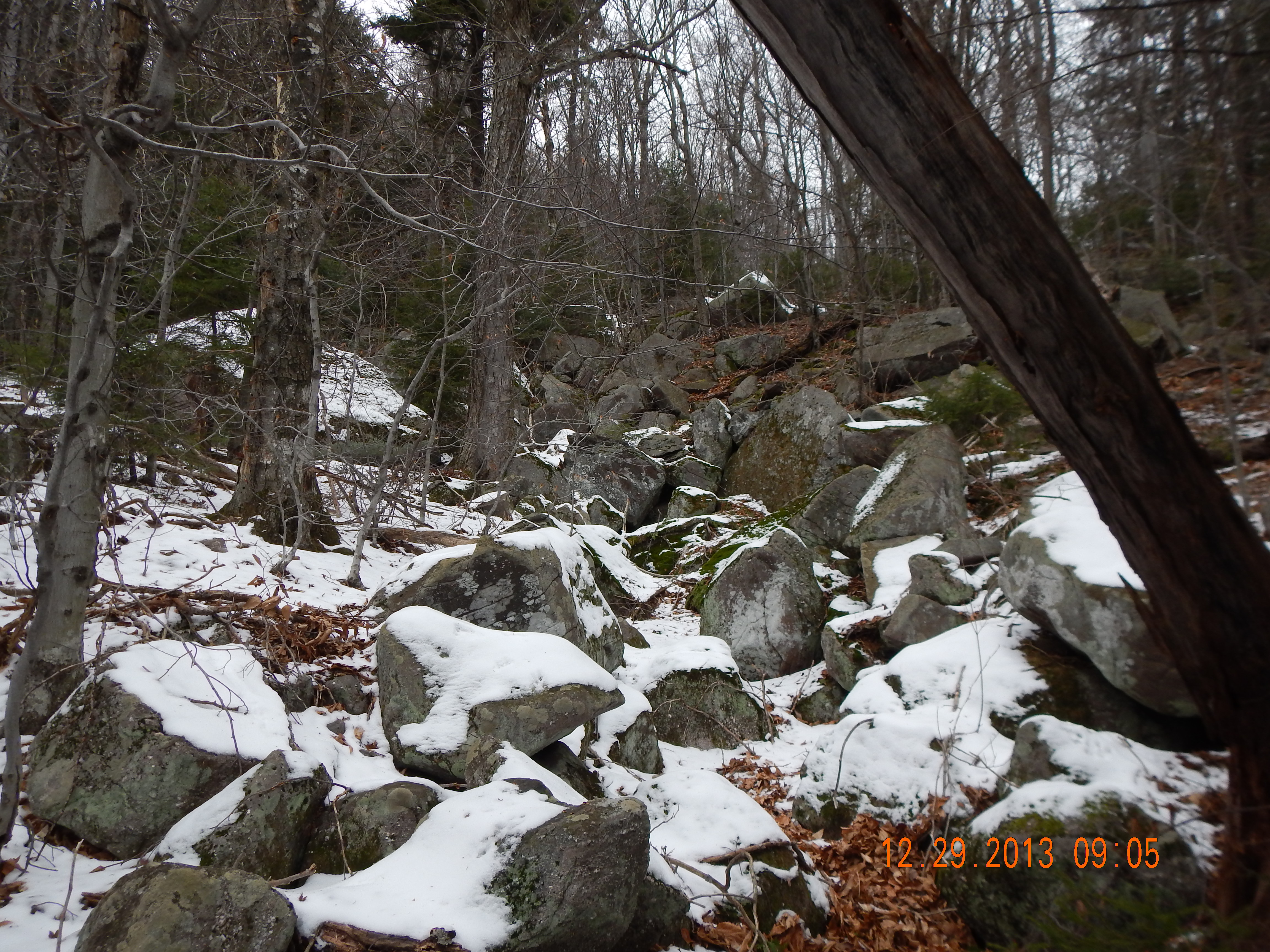
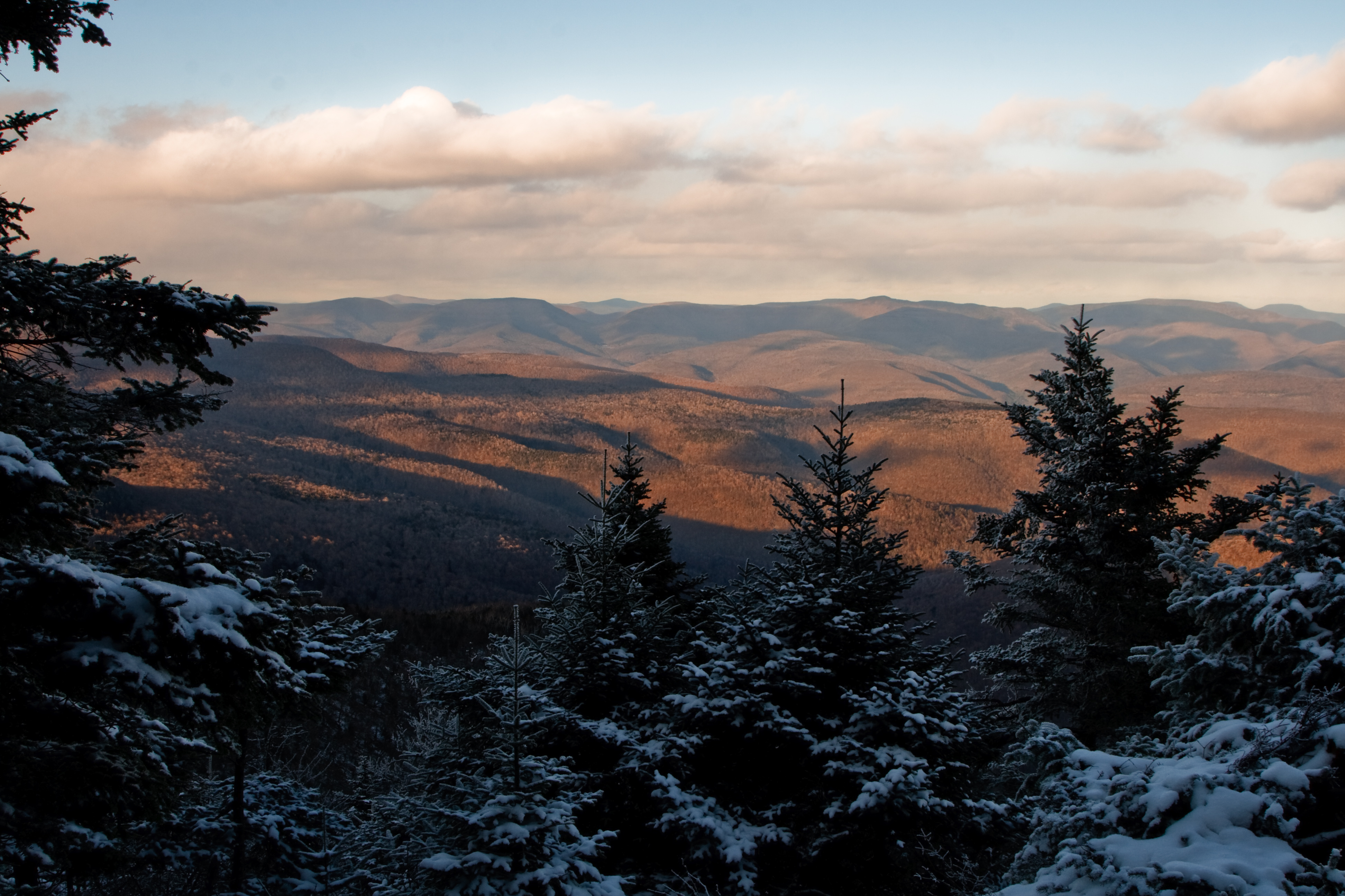
Related Photos:

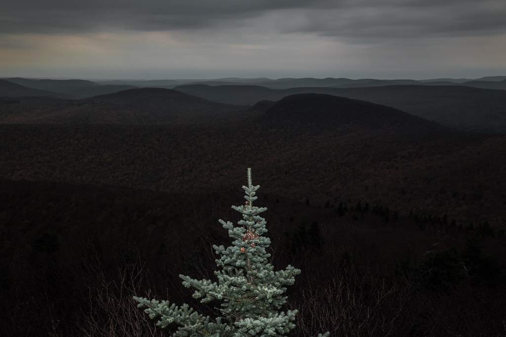
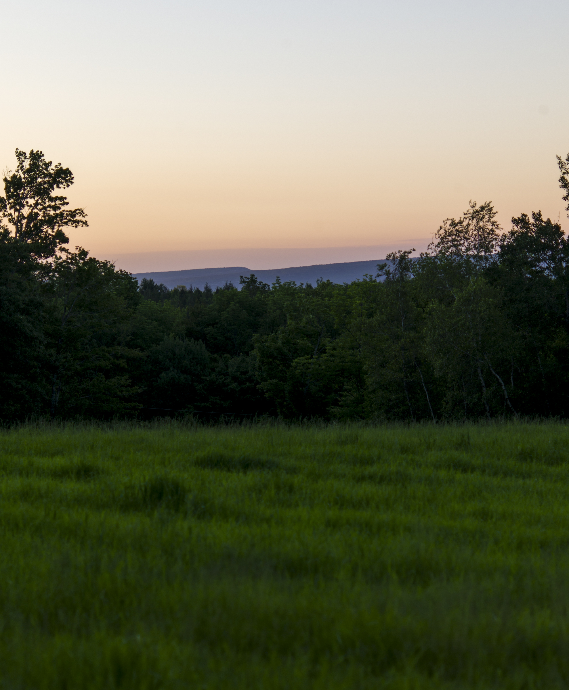
The Edge Of A Foggy Field

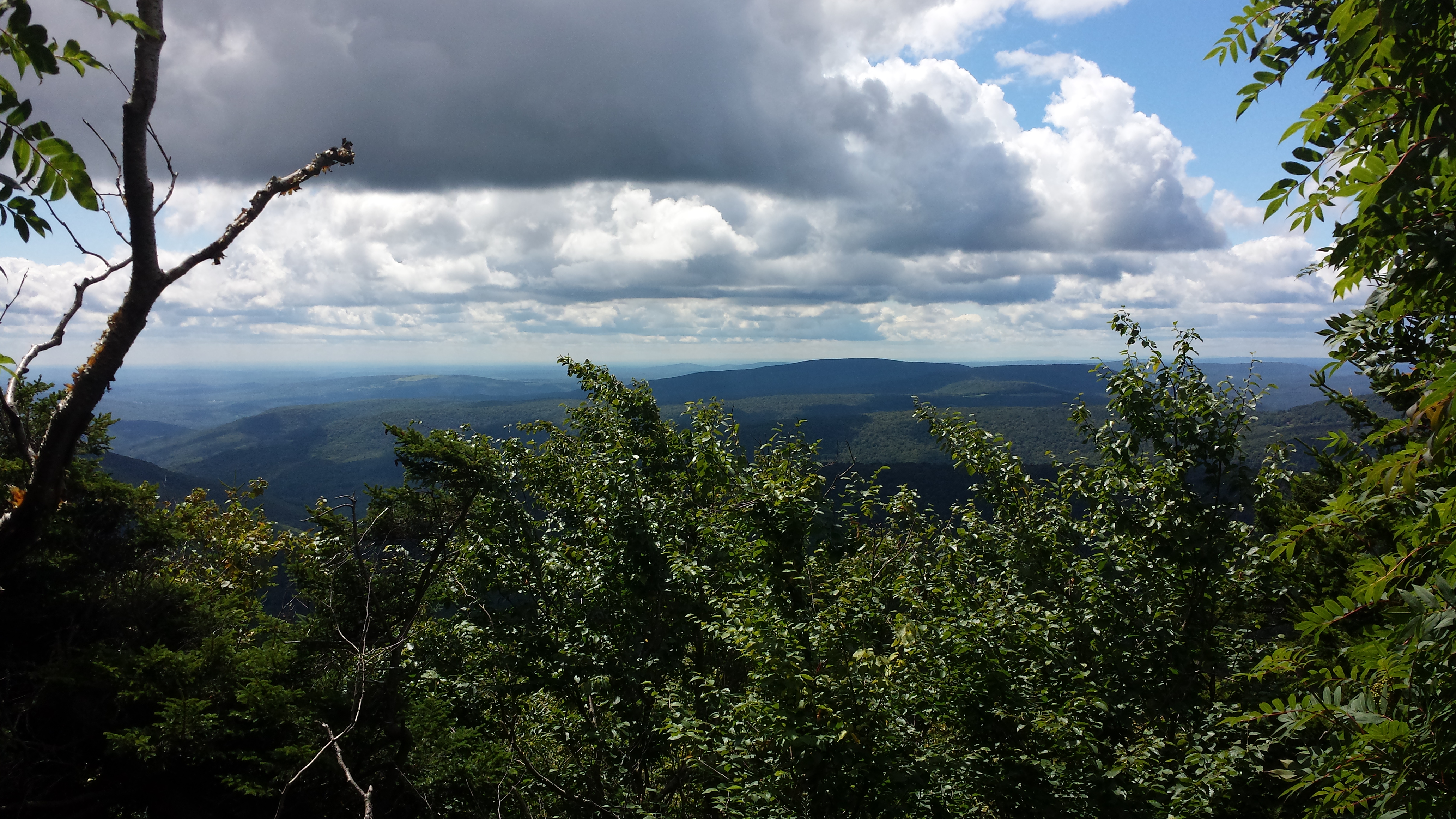
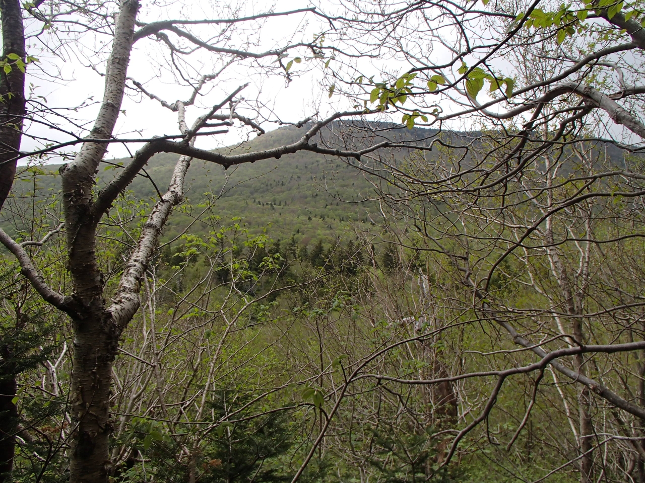
The View
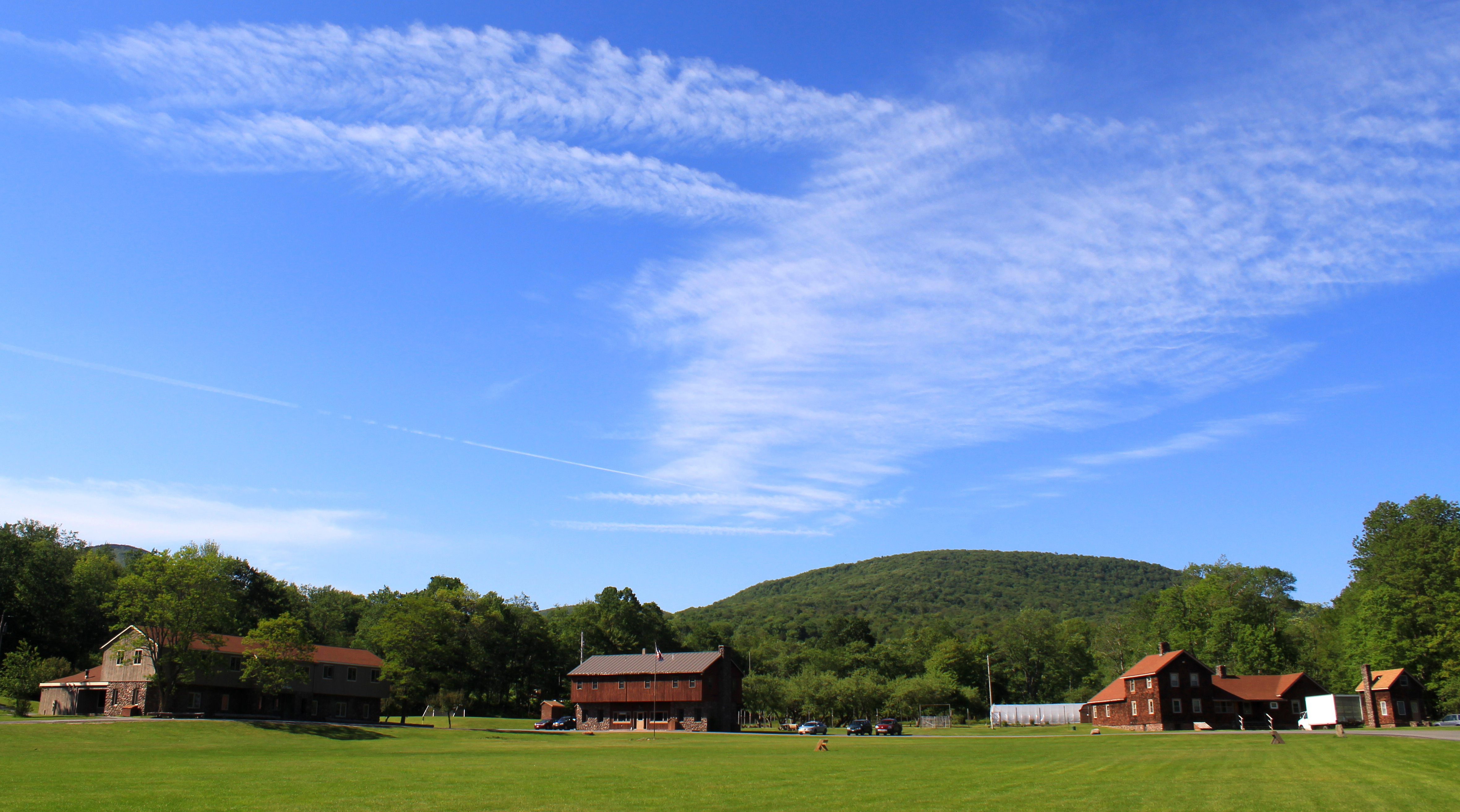
Sky Over Frost Valley **Explored**
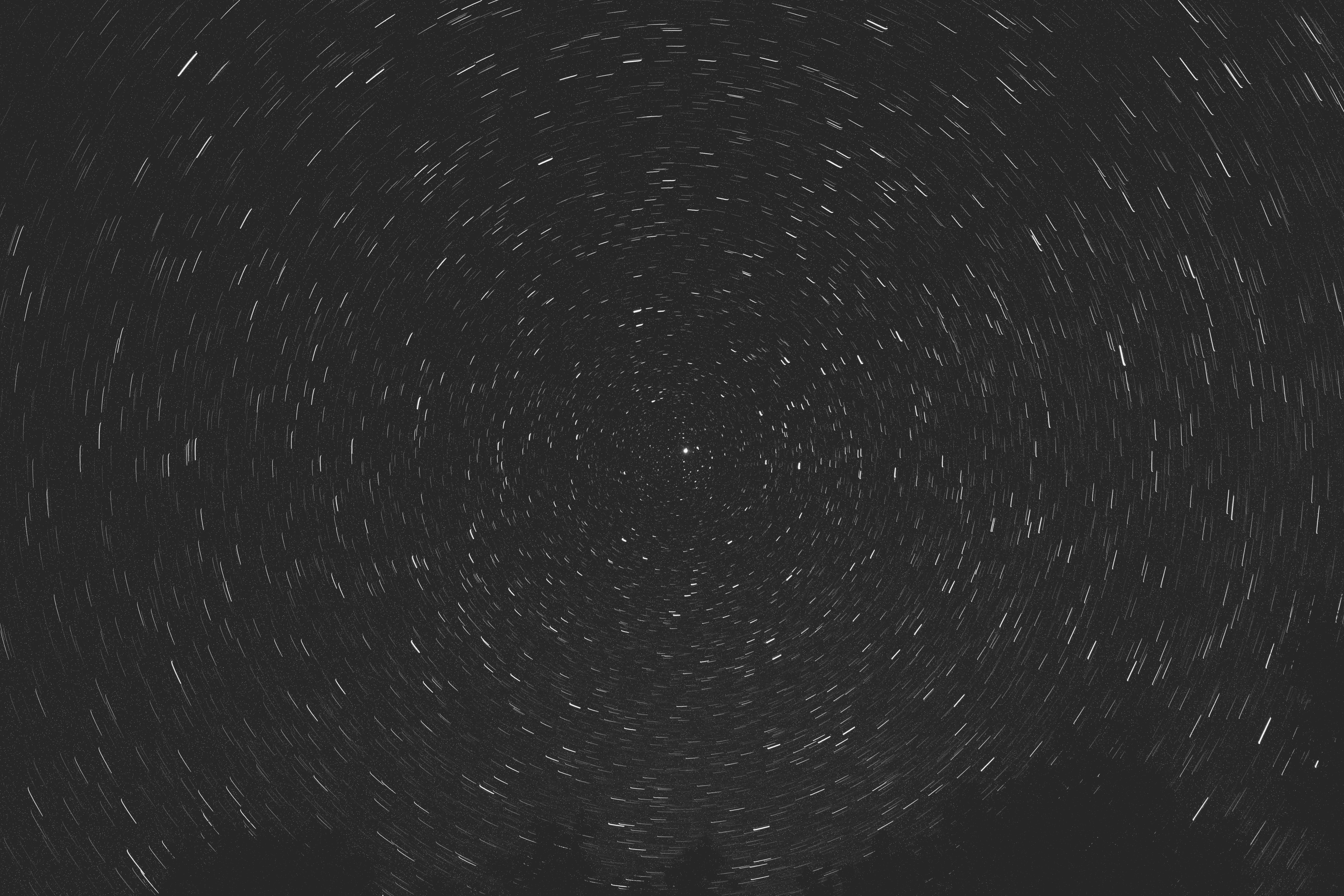
Circumpolar Star Trails *Explore*
vegetable/mineral
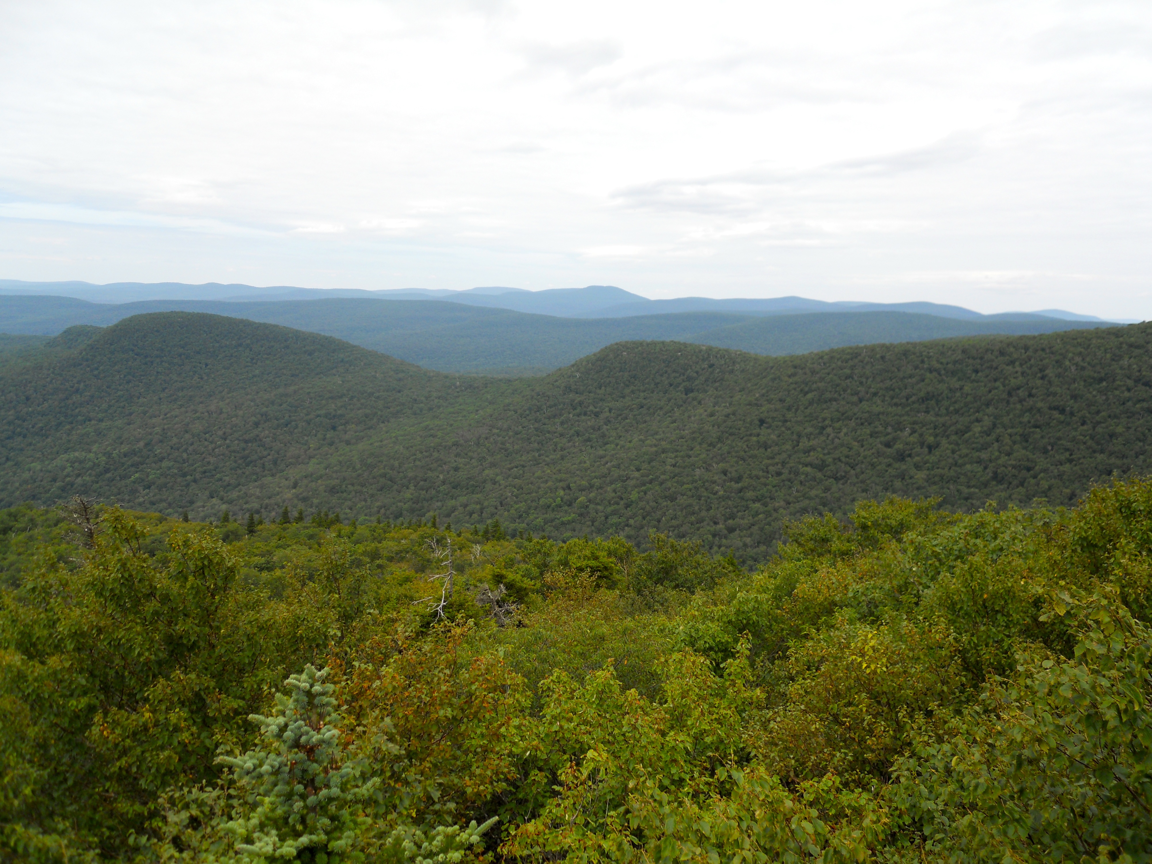
1st View
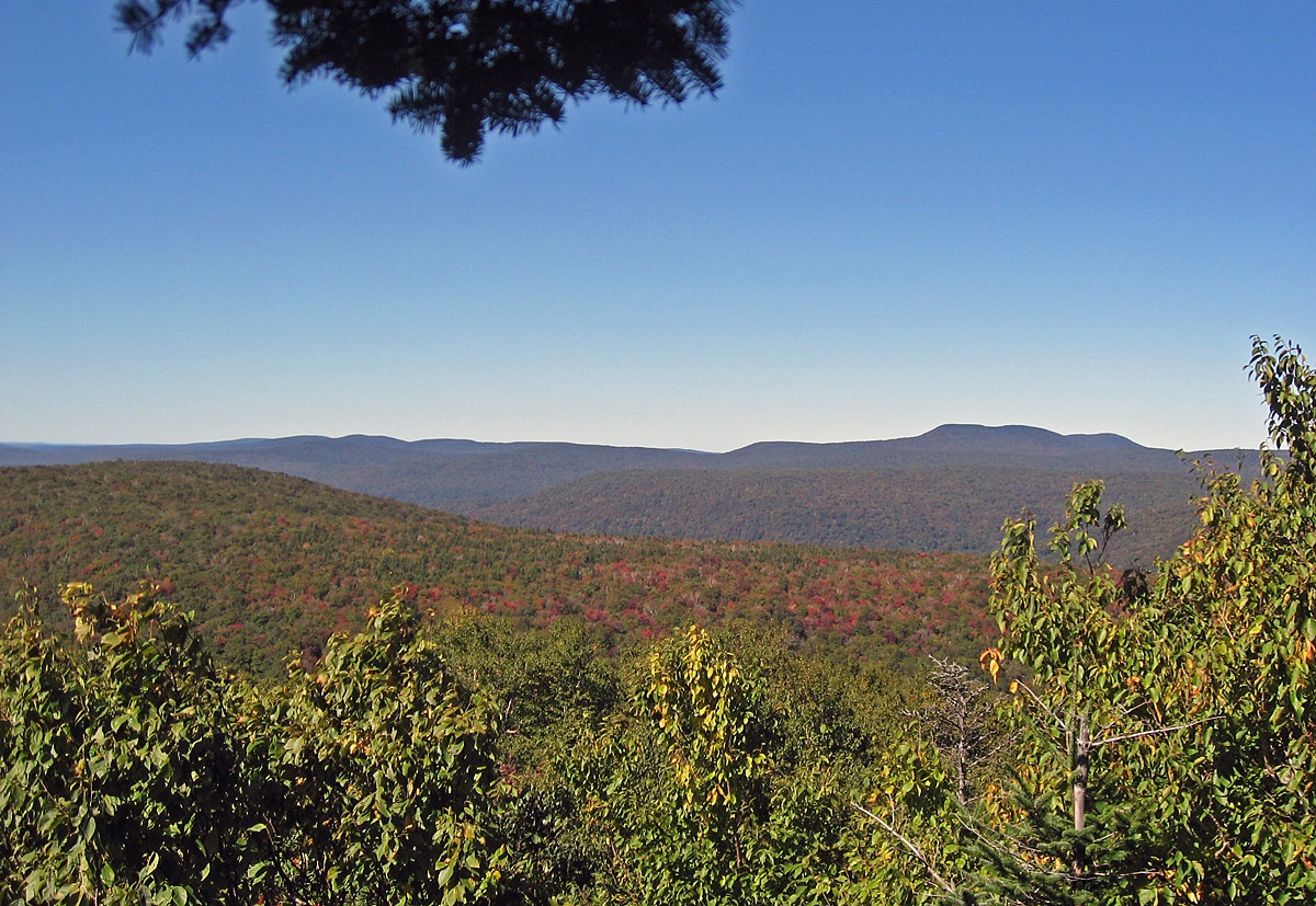
View From Peakamoose Mt
View on Way to Table
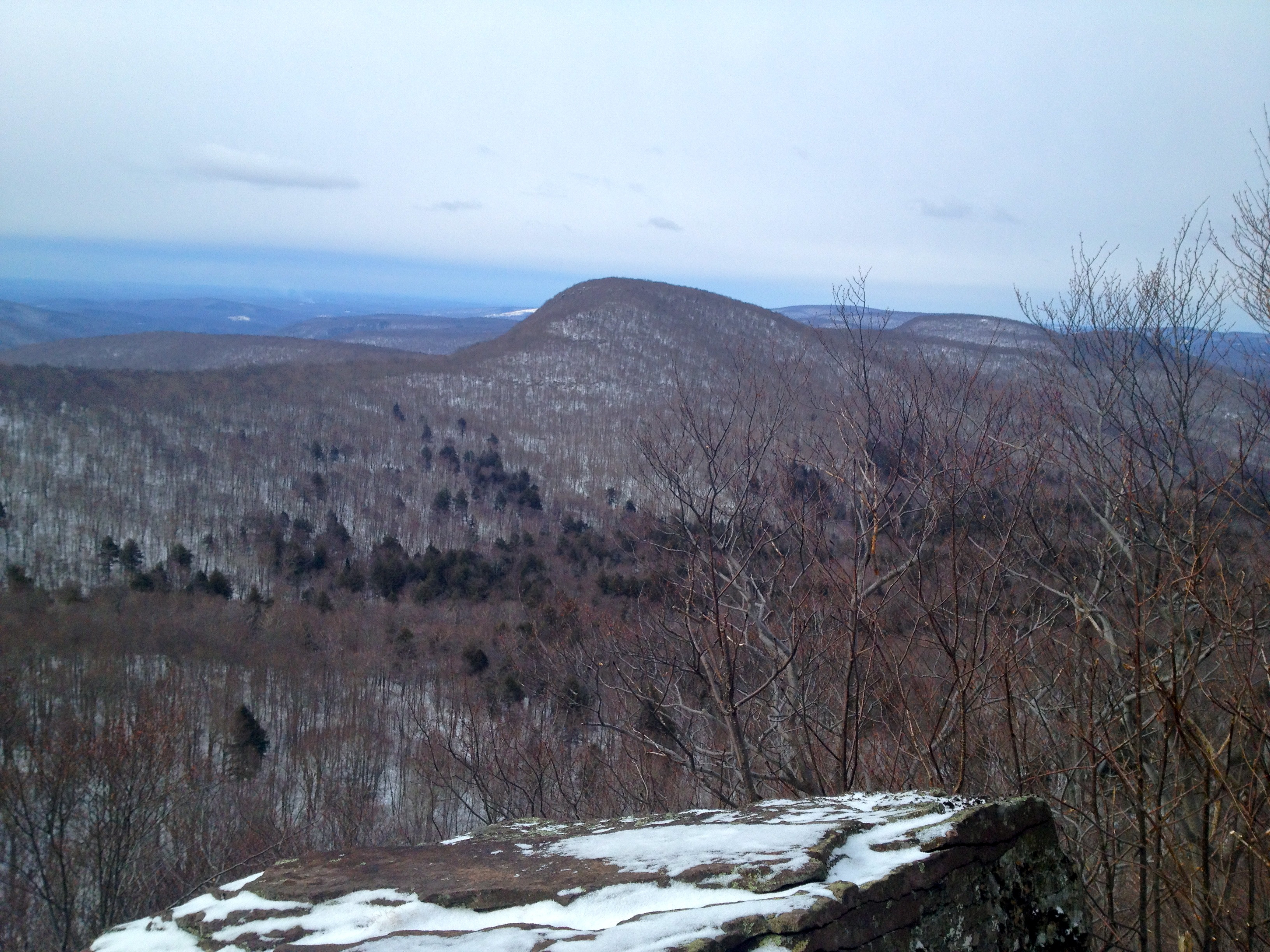
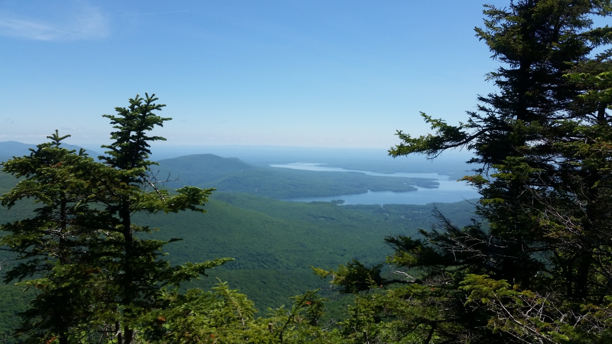
Ulster County View
Peekamoose summit
South View
View from Peekamoose spur
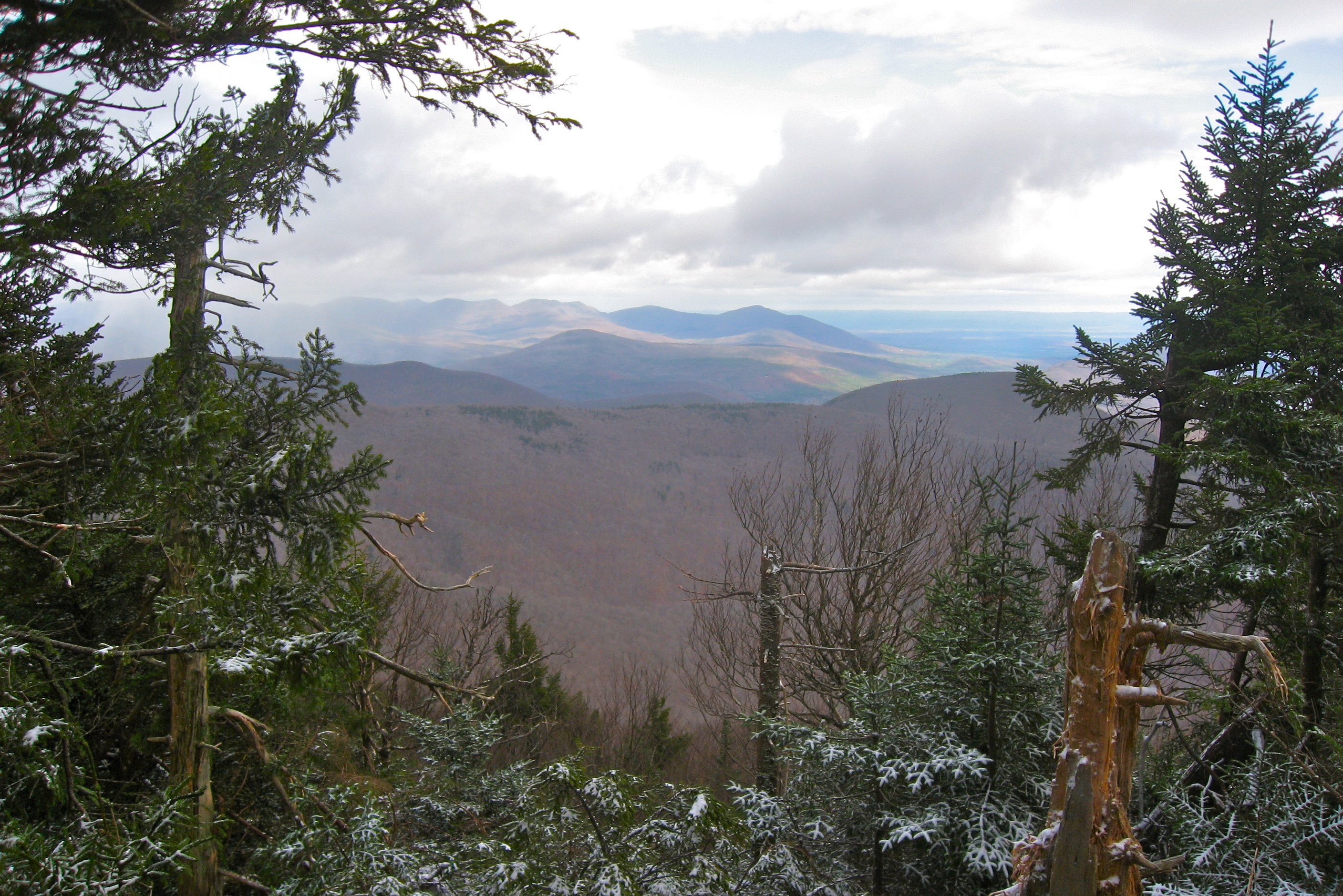
View From Balsam Cap
View From Friday
226 We finally get a view of Doubletop Mountain as we bushwhack down to the saddle
418 Nice view east from near the Summit of Balsam Cap
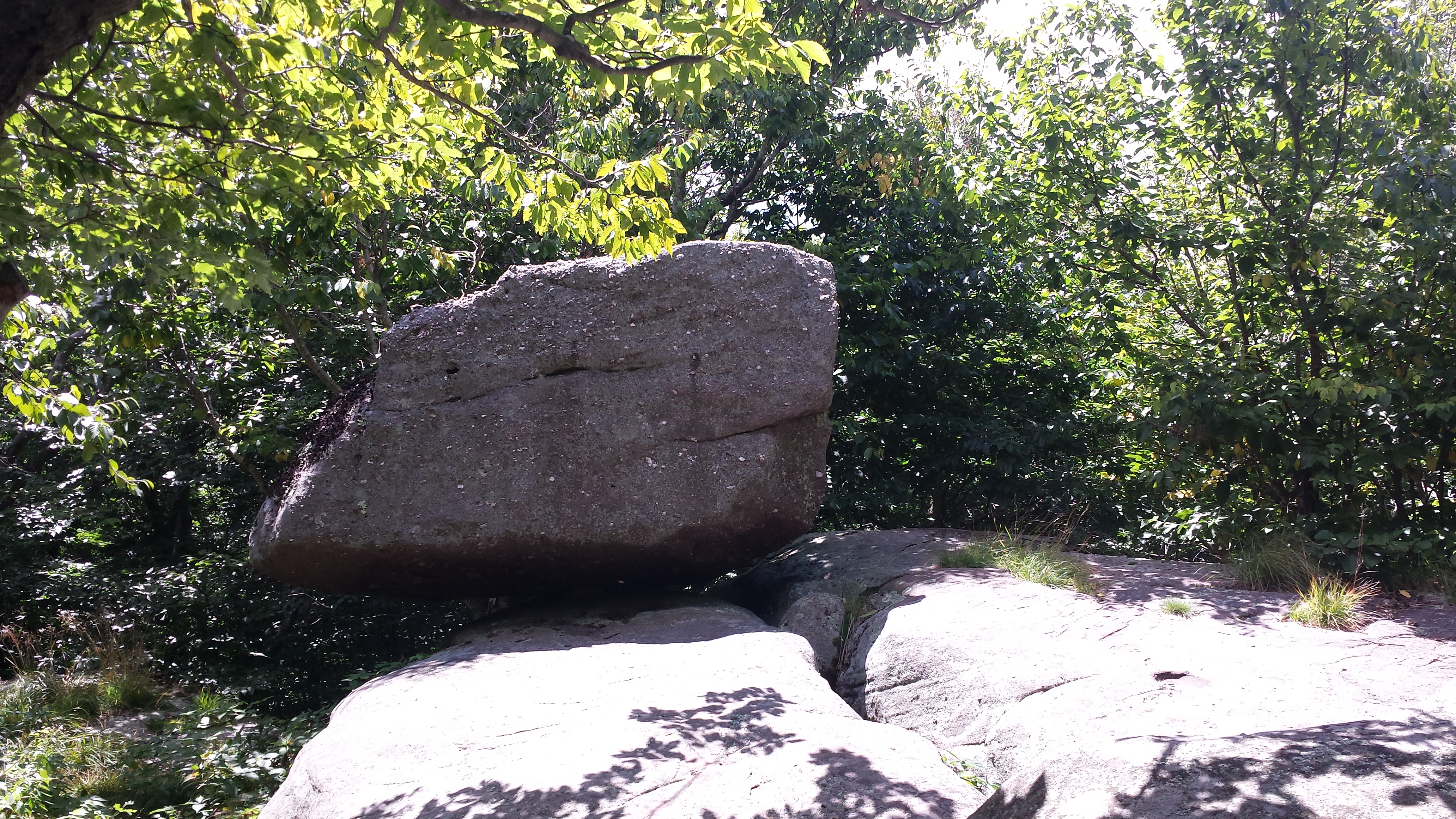
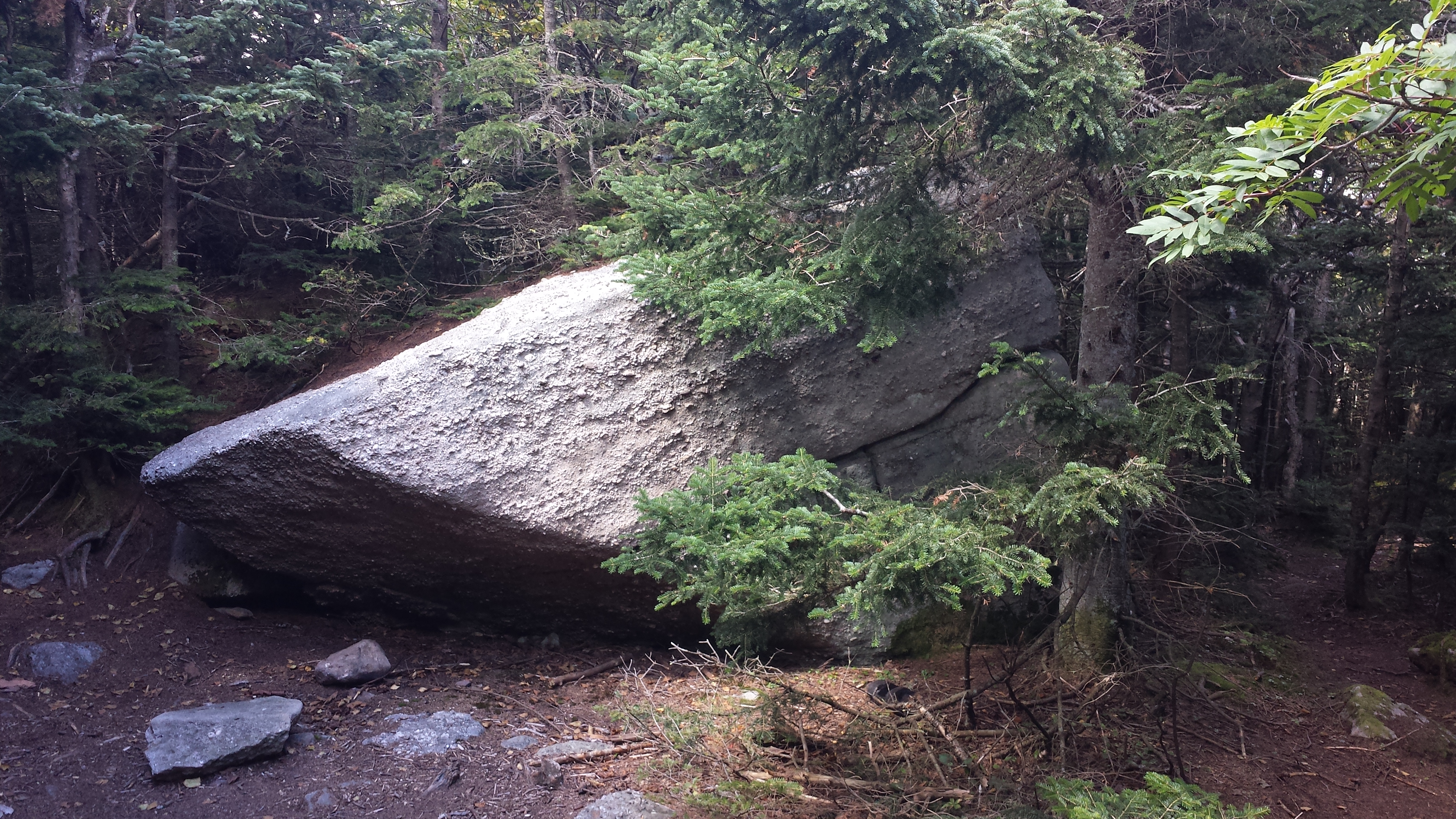
Reconnoiter Rock
Landscape Composition June 15, 2012-7
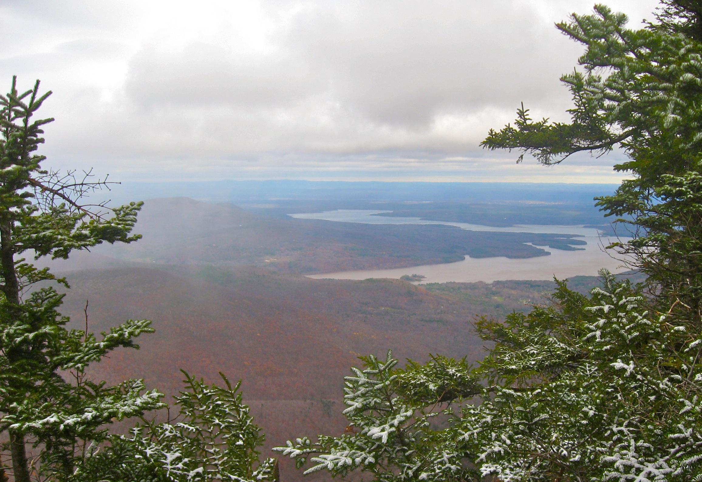
View to the North from Slide Mountain
First Views to the West
1st View

Life Goes On.

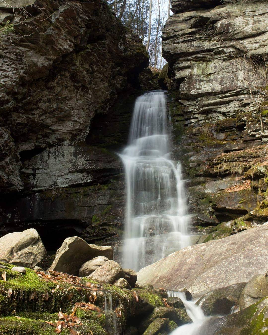
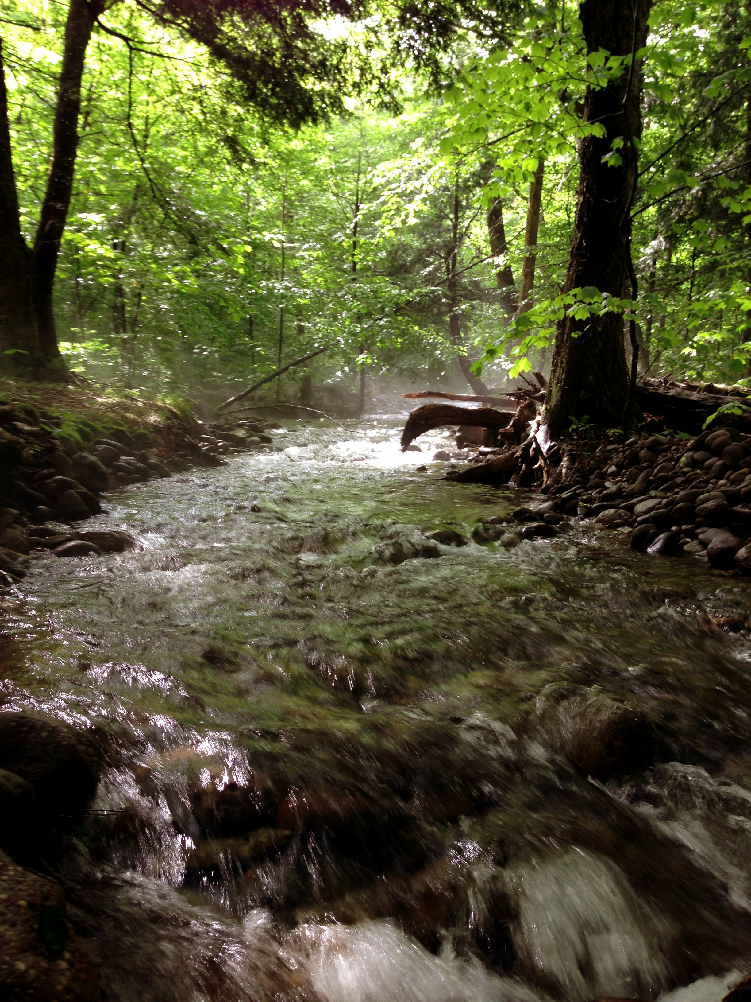
Frost Valley Road, waterfall
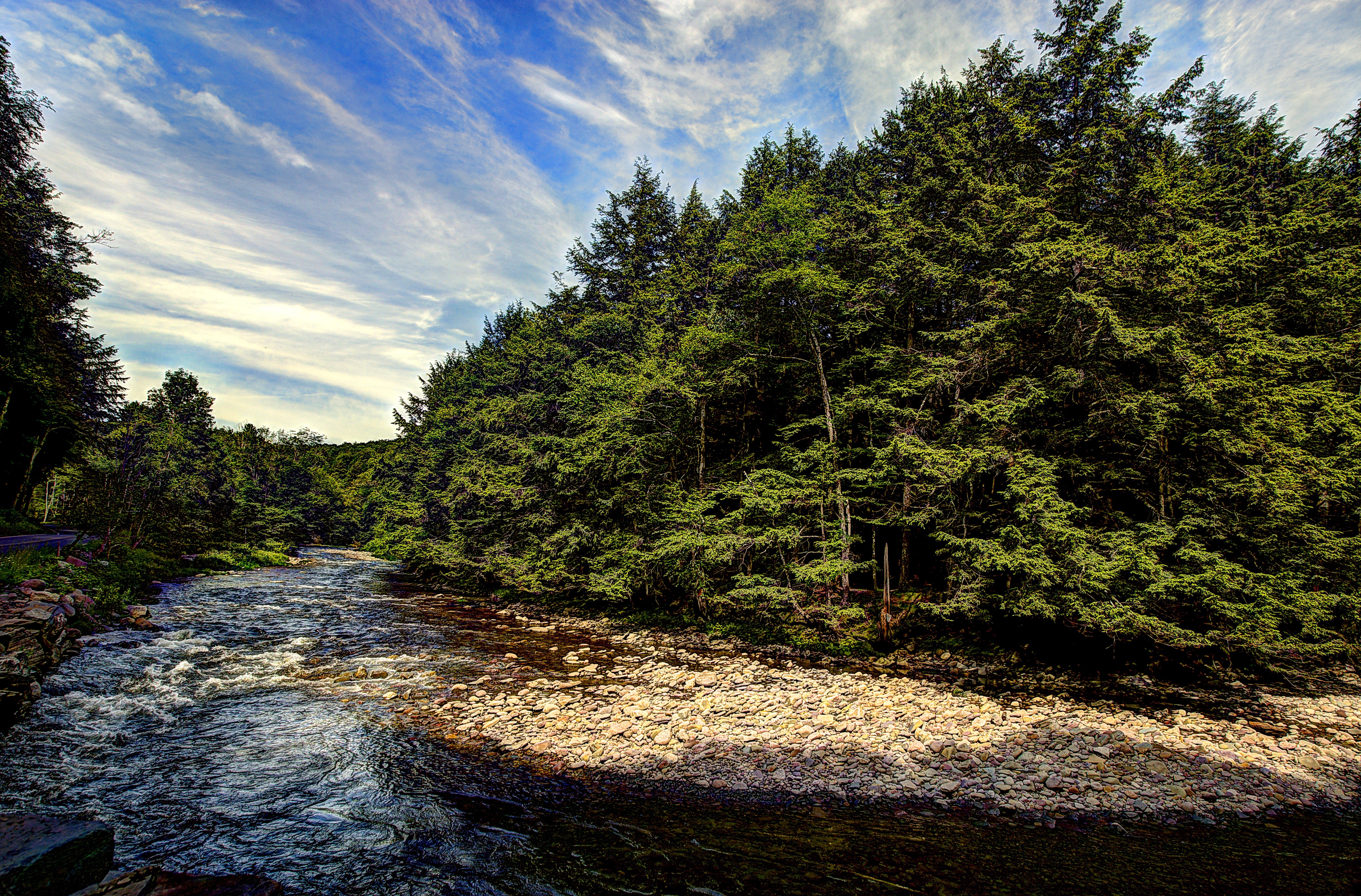
Frost Valley Road
#waterfall #water #longexposure #spring #mountain

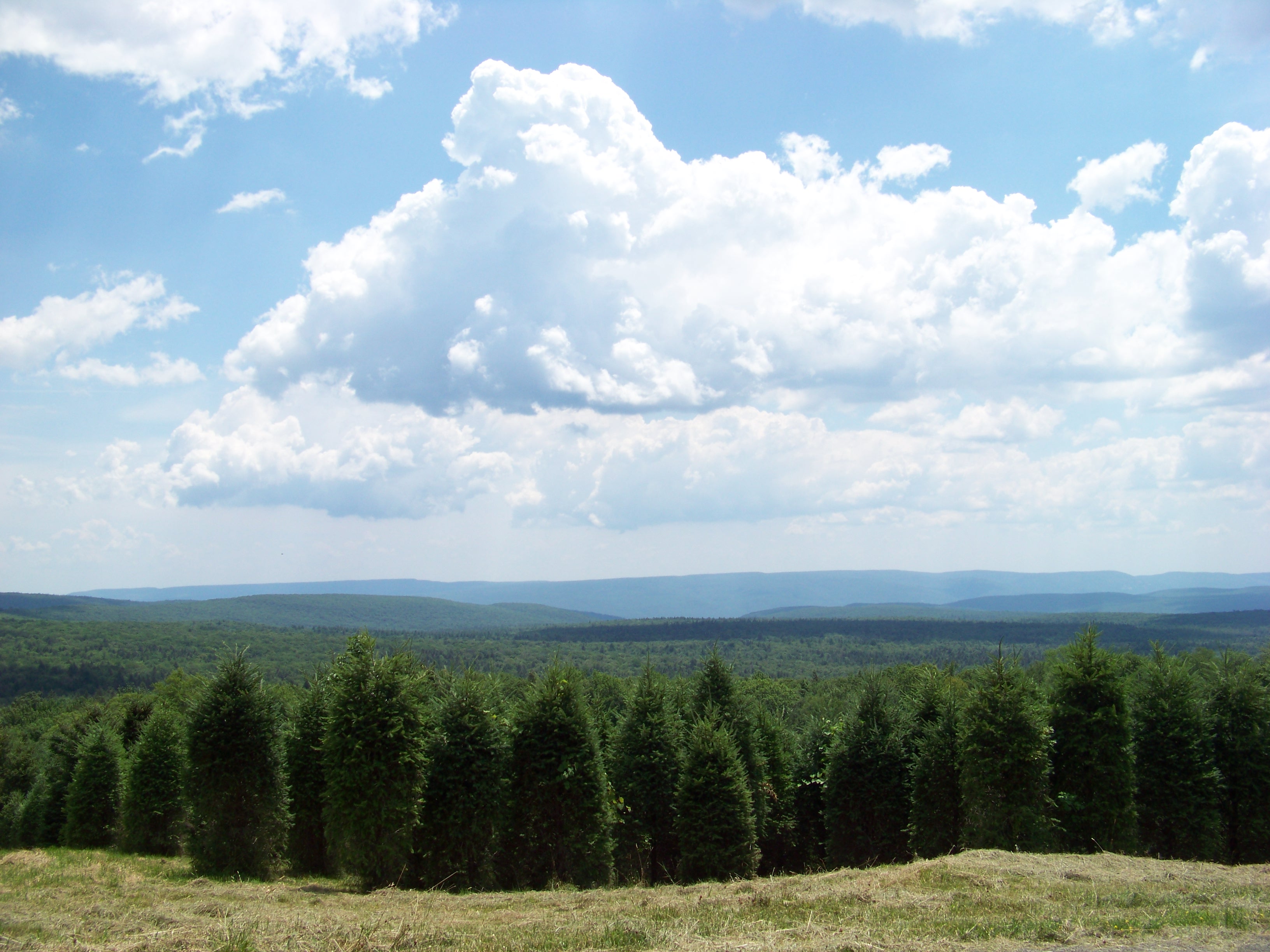
Young Forest
BlazeCatskills-9713
Vernooy Kill State Forest
IMG_2865.JPG (2)

Frost Valley Road, waterfall
Slide 7-13-06 004

Friday & Balsam Cap (19)
Friday & Balsam Cap (2)
Tree amongst the forest
BlazeCatskills-9732
IMG_2864.JPG (2)
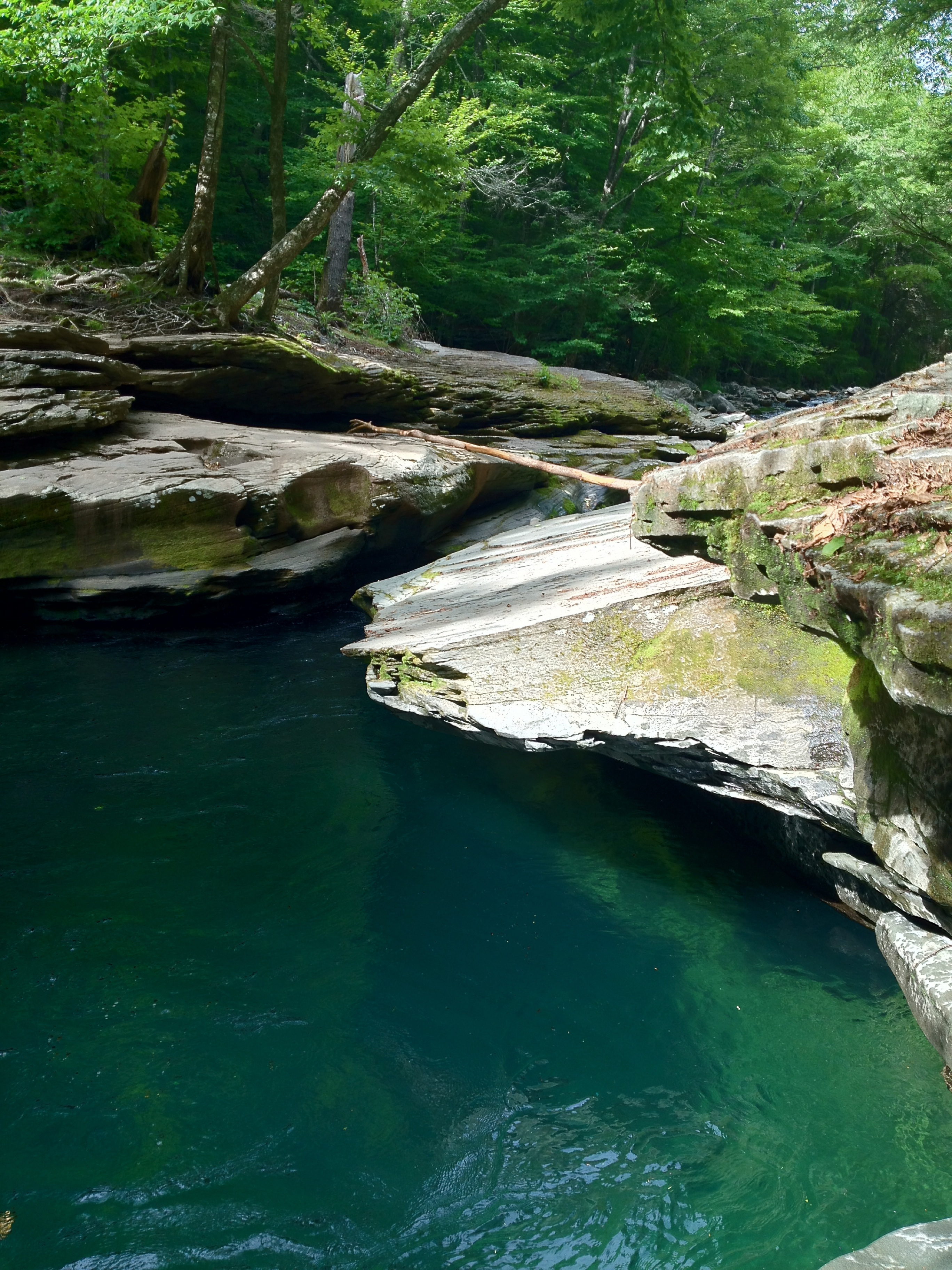
Peekamoose Blue Hole, NY
Chestnut Creek Composition
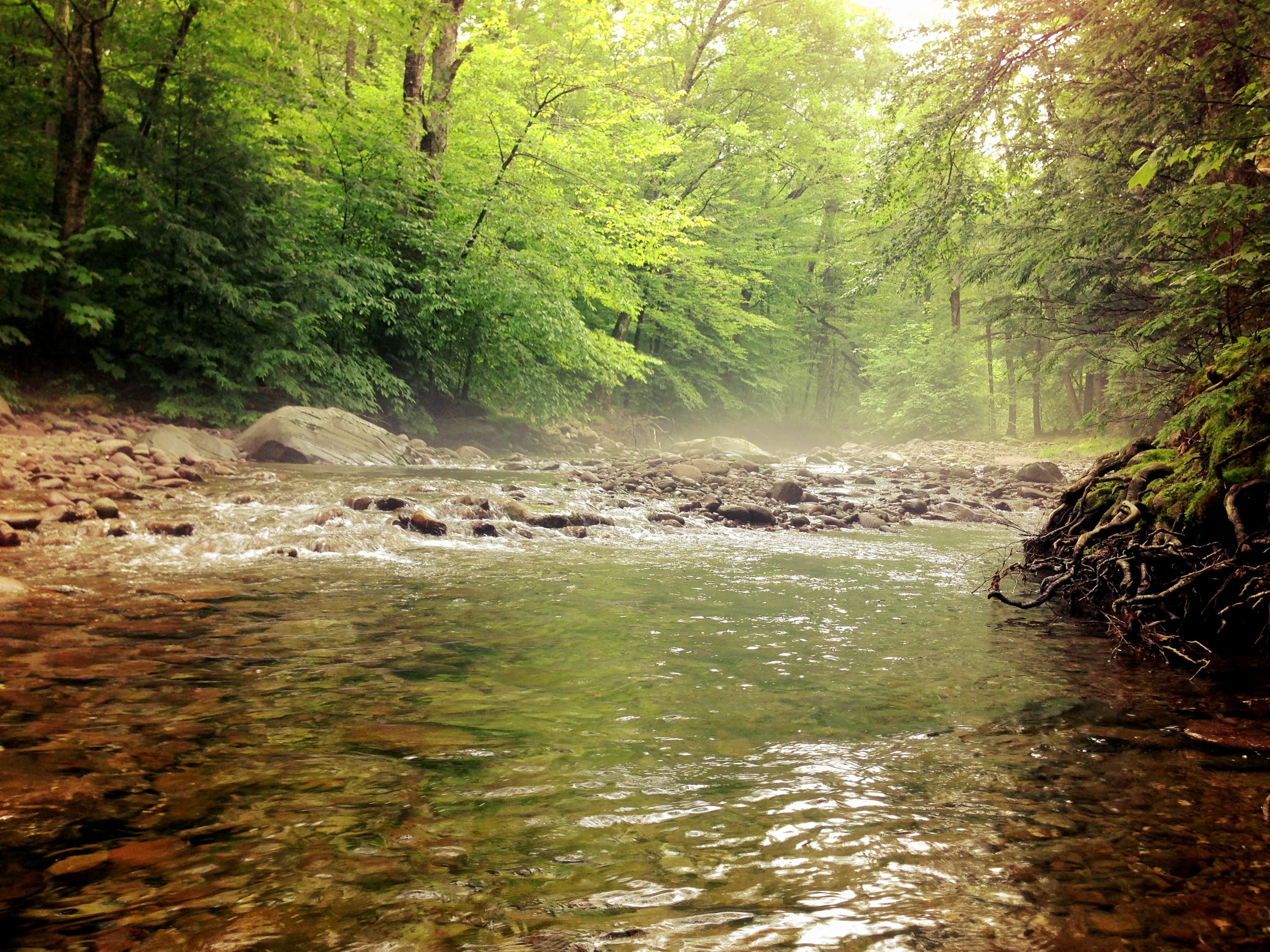
298 Hiking the Fishermans Path along the East Branch of the Neversink River
Night Photography Winter-9003
Topographic Map of Sundown, NY, USA
Find elevation by address:

Places in Sundown, NY, USA:
Places near Sundown, NY, USA:
46 Greenville Rd
157 Peekamoose Rd
Peekamoose Rd, Sundown, NY, USA
Twinshaven Road
181 Twinshaven Rd
272 Twinshaven Rd
Denning
Denning
Barnes Road
67 Barnes Rd
67 Barnes Rd
1827 Co Rd 47
1827 Co Rd 47
Frost Valley Road
2018 Co Rd 47
2000 Frost Valley Rd
Frost Valley Ymca
114 Camp Adventure Rd
90 Camp Adventure Rd
299 Upper Cherrytown Rd
Recent Searches:
- Elevation of Corso Fratelli Cairoli, 35, Macerata MC, Italy
- Elevation of Tallevast Rd, Sarasota, FL, USA
- Elevation of 4th St E, Sonoma, CA, USA
- Elevation of Black Hollow Rd, Pennsdale, PA, USA
- Elevation of Oakland Ave, Williamsport, PA, USA
- Elevation of Pedrógão Grande, Portugal
- Elevation of Klee Dr, Martinsburg, WV, USA
- Elevation of Via Roma, Pieranica CR, Italy
- Elevation of Tavkvetili Mountain, Georgia
- Elevation of Hartfords Bluff Cir, Mt Pleasant, SC, USA