Elevation of Summit, WI, USA
Location: United States > Wisconsin > Langlade County >
Longitude: -89.353065
Latitude: 45.3351198
Elevation: 504m / 1654feet
Barometric Pressure: 95KPa
Elevation Map:
Satellite Map:
Related Photos:

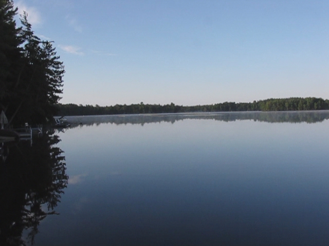
Wakin' Up @ Water Power

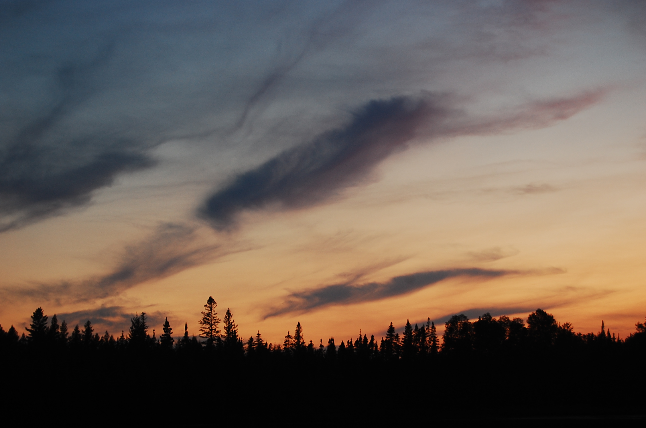
Evening on Water Power Lake

Colors in the hills
N. WI
Loons calling in the morning
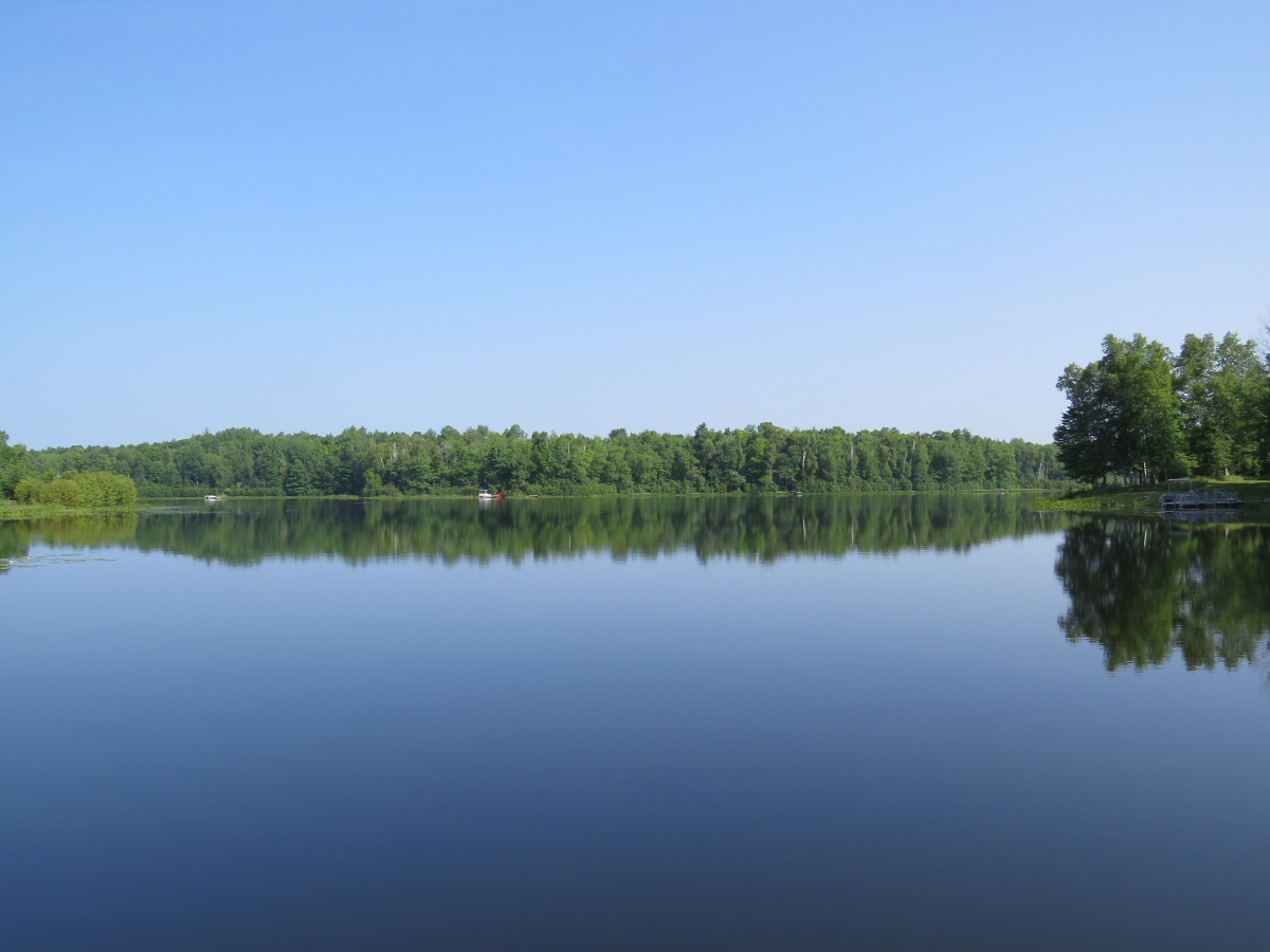
Long Lake

A Barn in Gleason, WI

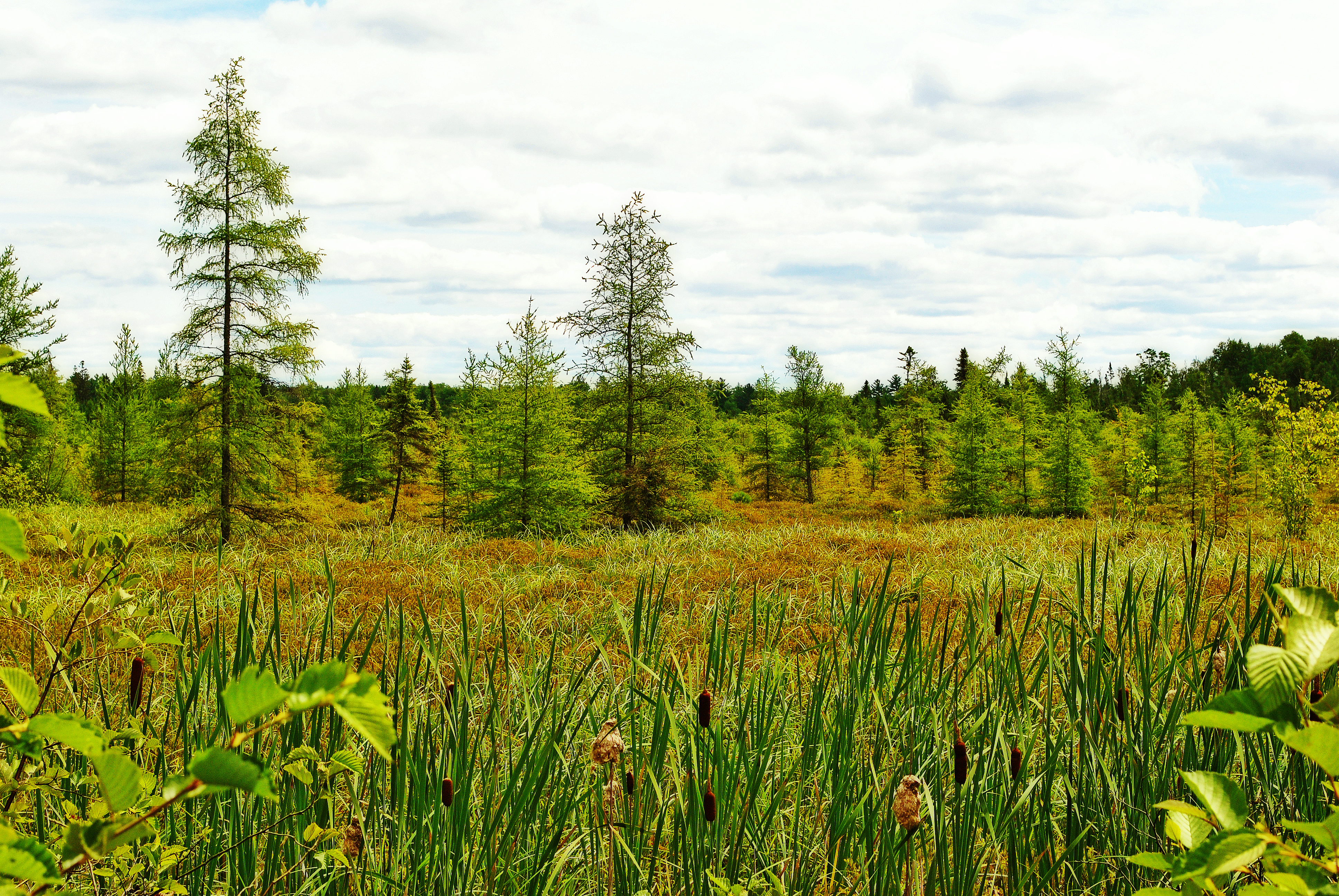
Langlade County Bog
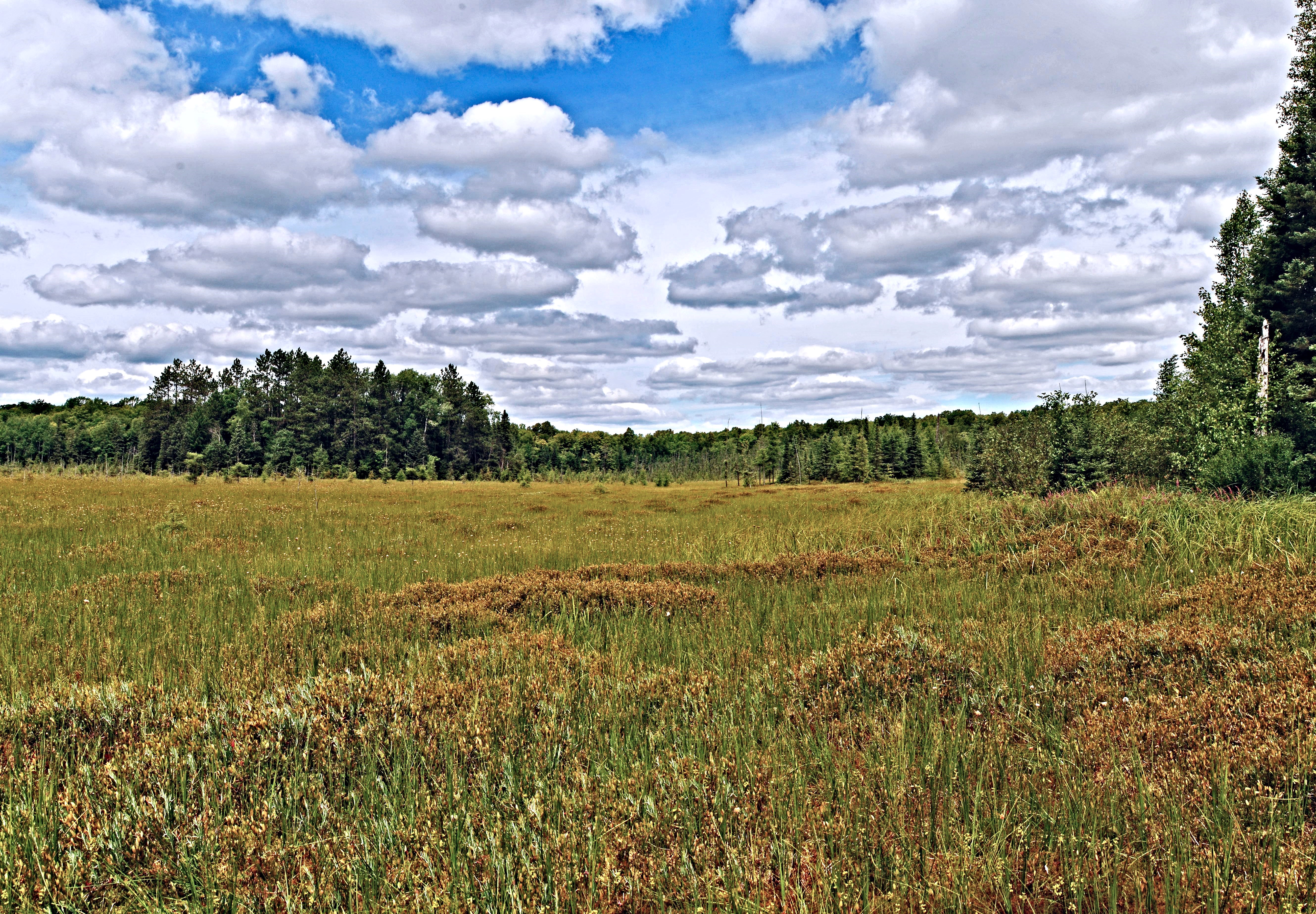
Langlade County Bog

Langlade County Bog
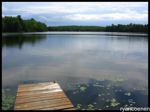
old dock & lake

Kelly Lynn Bog State Natural Area

Dun Skipper (Euphyes vestris)
Kelly Lynn Bog State Natural Area
Topographic Map of Summit, WI, USA
Find elevation by address:

Places in Summit, WI, USA:
Places near Summit, WI, USA:
W14326
Enterprise
N10960 Us-45
Enterprise Lake Rd, Pelican Lake, WI, USA
Deerbrook
N5444
Harrison
Neva
Antigo
Bear Lake Rd, Aniwa, WI, USA
1405 Lincoln St
709 Boyce Dr
Rhinelander
Bricco Rd, Rhinelander, WI, USA
County Rd Y, Aniwa, WI, USA
3250 S Fox Ranch Rd
Star Road
Monico
W4880 Spruce Rd
5605 Moon Lite Bay Rd
Recent Searches:
- Elevation of Corso Fratelli Cairoli, 35, Macerata MC, Italy
- Elevation of Tallevast Rd, Sarasota, FL, USA
- Elevation of 4th St E, Sonoma, CA, USA
- Elevation of Black Hollow Rd, Pennsdale, PA, USA
- Elevation of Oakland Ave, Williamsport, PA, USA
- Elevation of Pedrógão Grande, Portugal
- Elevation of Klee Dr, Martinsburg, WV, USA
- Elevation of Via Roma, Pieranica CR, Italy
- Elevation of Tavkvetili Mountain, Georgia
- Elevation of Hartfords Bluff Cir, Mt Pleasant, SC, USA