Elevation of Summit Lake, Fraser-Fort George G, BC V0J, Canada
Location: Canada > British Columbia > Fraser-fort George > Fraser-fort George G > Summit Lake >
Longitude: -122.66842
Latitude: 54.2771985
Elevation: 708m / 2323feet
Barometric Pressure: 93KPa
Elevation Map:
Satellite Map:
Related Photos:

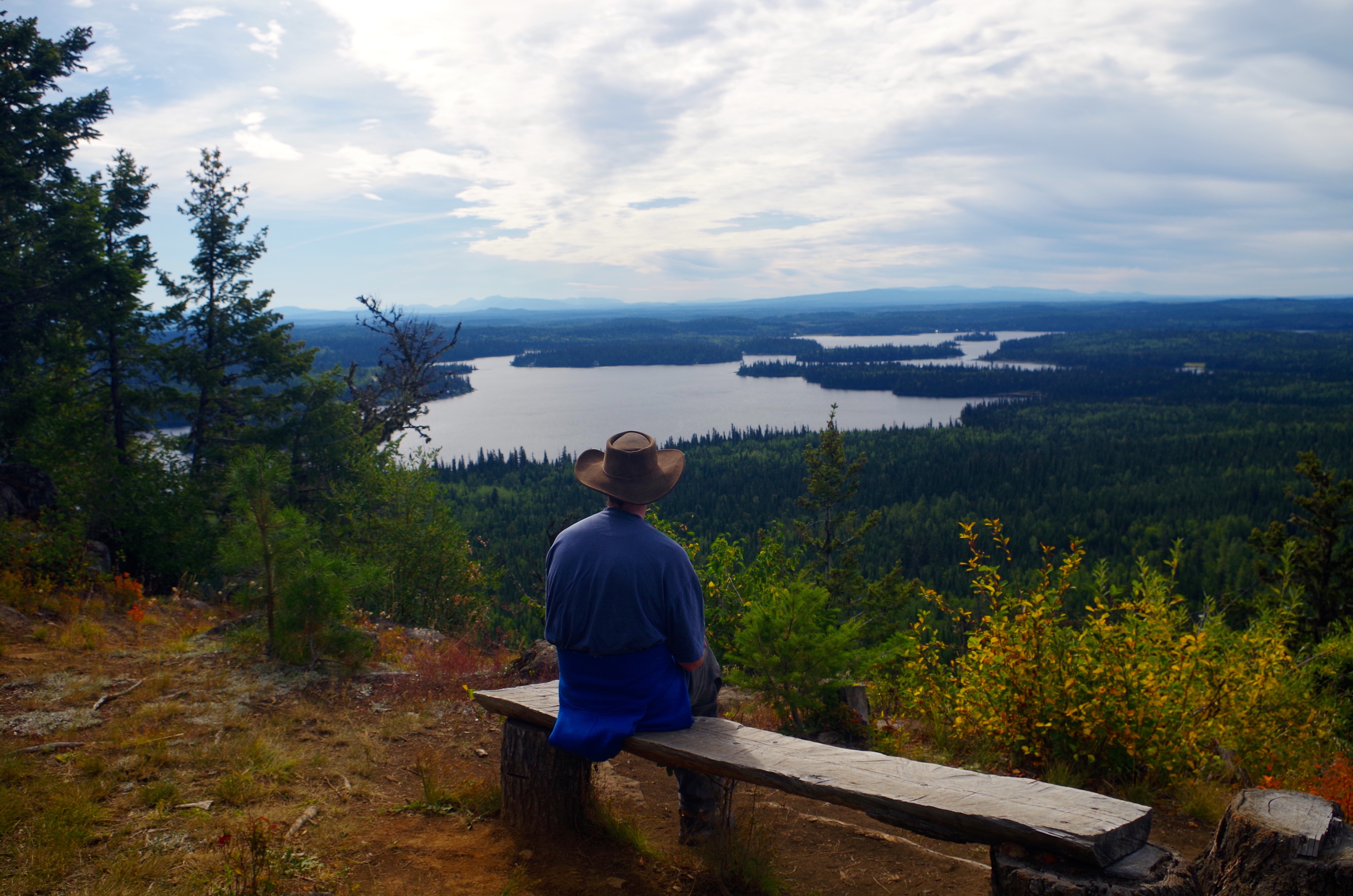
View to the north

Teapot Mountain Hike

Northbound Mackenzie Switcher
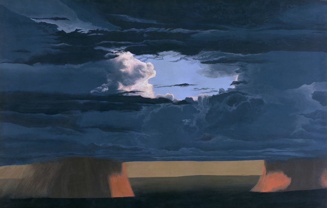
Rain cloud

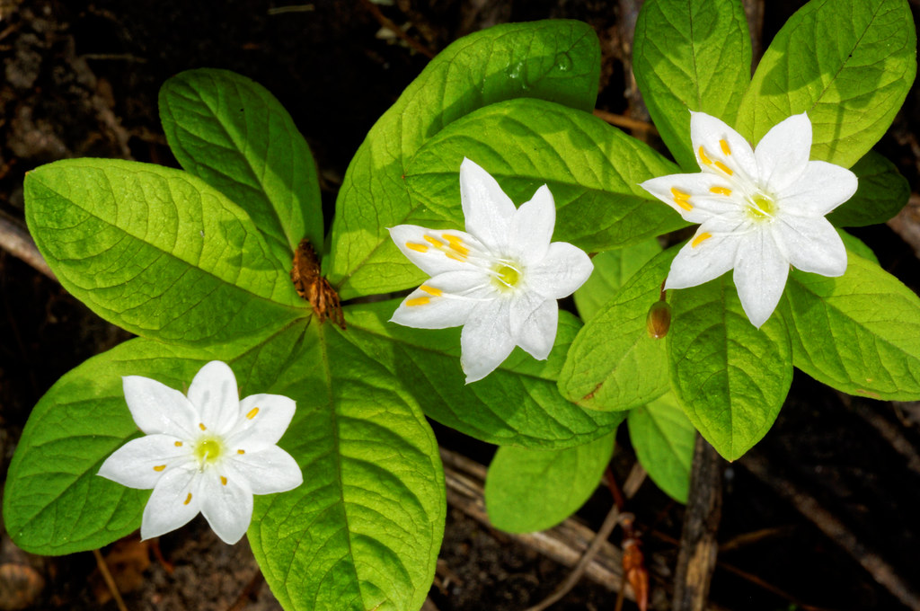
Explore the Flora at Goodsir Nature Park

Teapot Mountain

Teapot Mountain 24

Teapot Mountain 30

Teapot Mountain 32

Teapot Mountain 22

Teapot Mountain 25
Goodsir Nature Park 01

Teapot Mountain 21

Teapot Mountain 16

Teapot Mountain 34

Teapot Mountain 03
Summit Lake
Topographic Map of Summit Lake, Fraser-Fort George G, BC V0J, Canada
Find elevation by address:

Places near Summit Lake, Fraser-Fort George G, BC V0J, Canada:
Summit Lake
Bear Lake
47 Panda Ave, Fraser-Fort George G, BC V0J, Canada
13430 Hubert Rd
Willow River
Kelly Road North
5655 Sooke Rd
14590 Upper Fraser Rd
Canfor Adminstration Centre
4171 Nordic Dr
Austin Road West
4608 Crocus Crescent
Montgomery Crescent
V2k 4x1
2499 Panorama Crescent
Sadler Drive
Aberdeen Glen Golf Course
Rosia Road
830 Prince George Pulpmill Rd
2184 Churchill Rd
Recent Searches:
- Elevation of Blattner Rd, Philo, CA, USA
- Elevation of Polzela, Slovenia
- Elevation of Gorod Kislovodsk, Stavropol Krai, Russia
- Elevation of Kislovodsk, Stavropol Krai, Russia
- Elevation of Eagle Stone Drive, Eagle Stone Dr, The Preserve at Corkscrew, FL, USA
- Elevation of Formby Ct, Myrtle Beach, SC, USA
- Elevation of Hobbyhorse Ct, Dover, DE, USA
- Elevation of Horseshoe Ln, Dahlonega, GA, USA
- Elevation of Village Point Dr, Daphne, AL, USA
- Elevation map of Kabardino-Balkarian Republic, Russia