Elevation of Summit Ave, Prince Rupert, BC V8J, Canada
Location: Canada > British Columbia > Skeena-queen Charlotte > Prince Rupert >
Longitude: -130.33236
Latitude: 54.304943
Elevation: 74m / 243feet
Barometric Pressure: 100KPa
Elevation Map:
Satellite Map:
Related Photos:
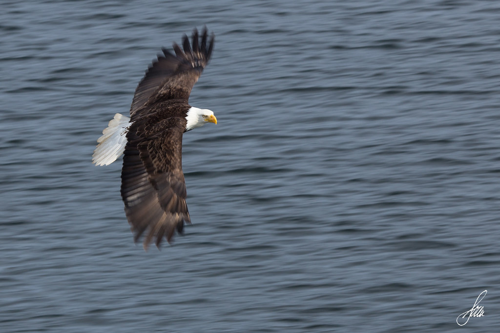
Bald Eagle (Panning Attempt)
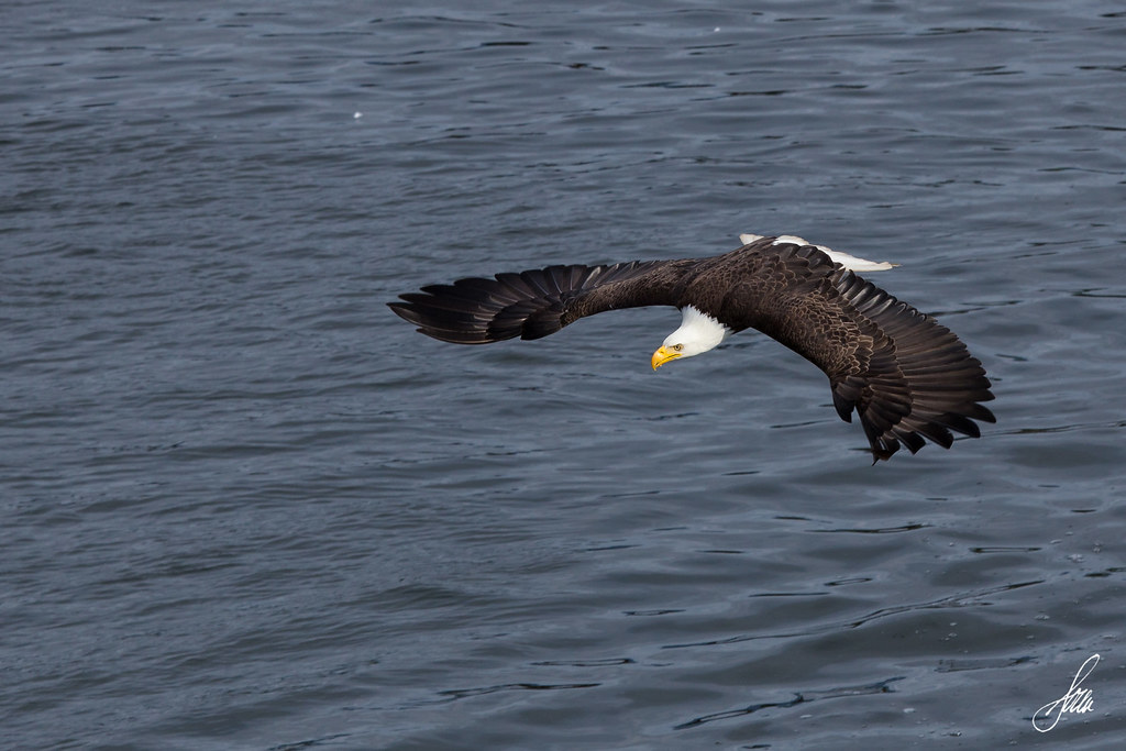
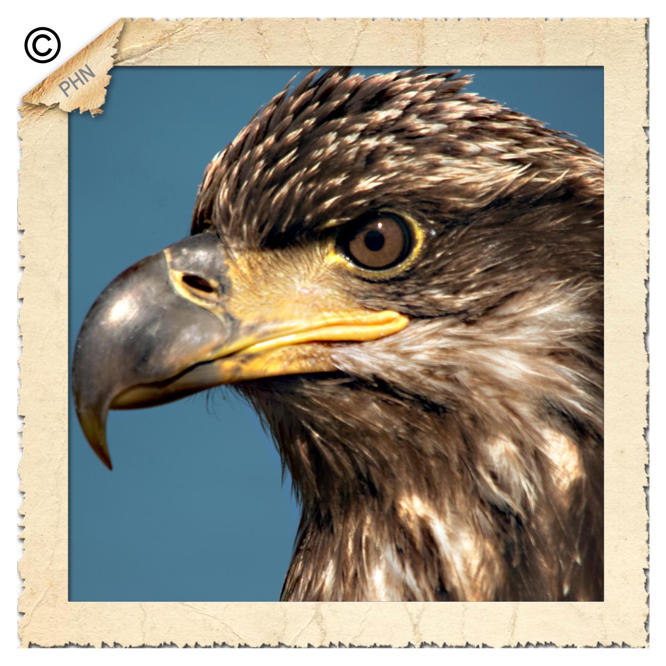
Bald Eagle

View from breakfast

'Love Among the Ruins '
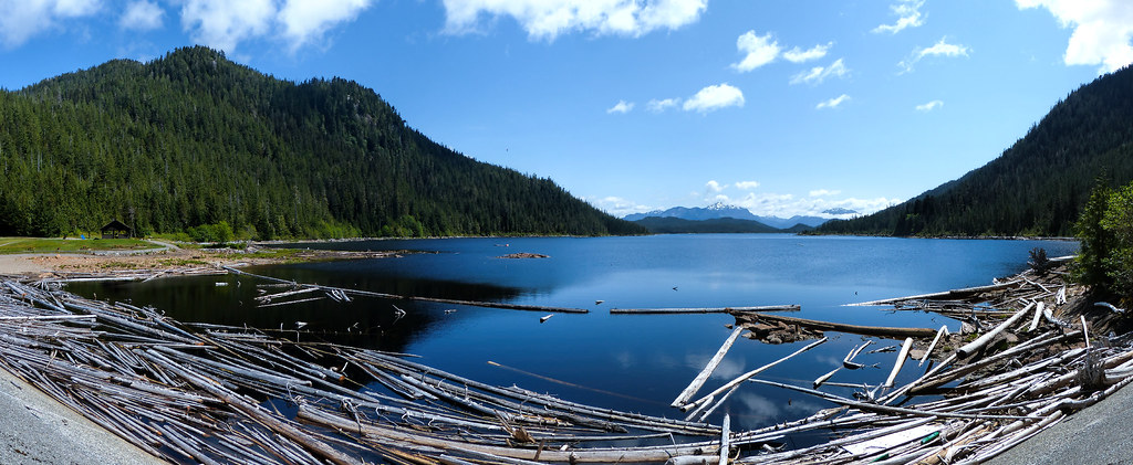
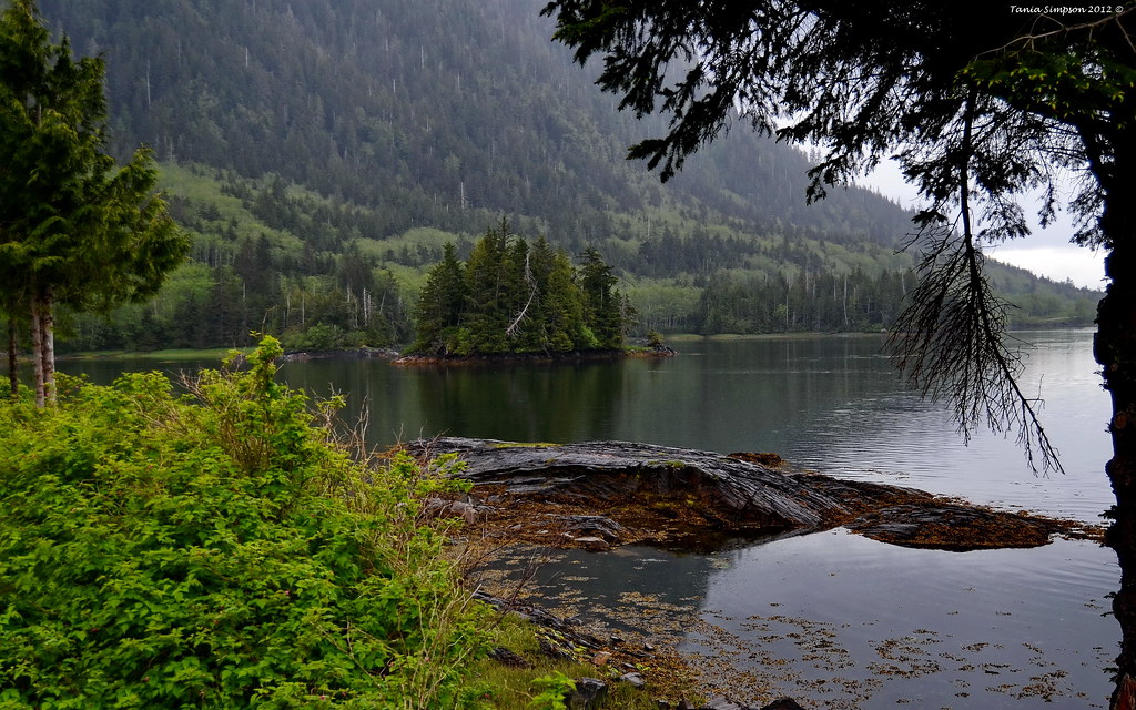
Diana Lake {Explored}
Prince Rupert
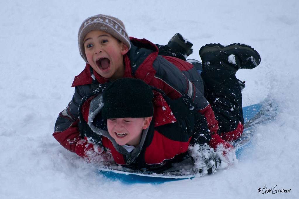
Snowday-31

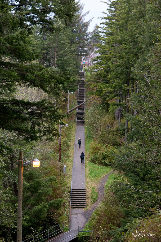
24 Hours in Prince Rupert
Ocean view

Les - stranger 1/100
PHN_5468@A1

Wilderness Camping and World Cup in Prince Rupert
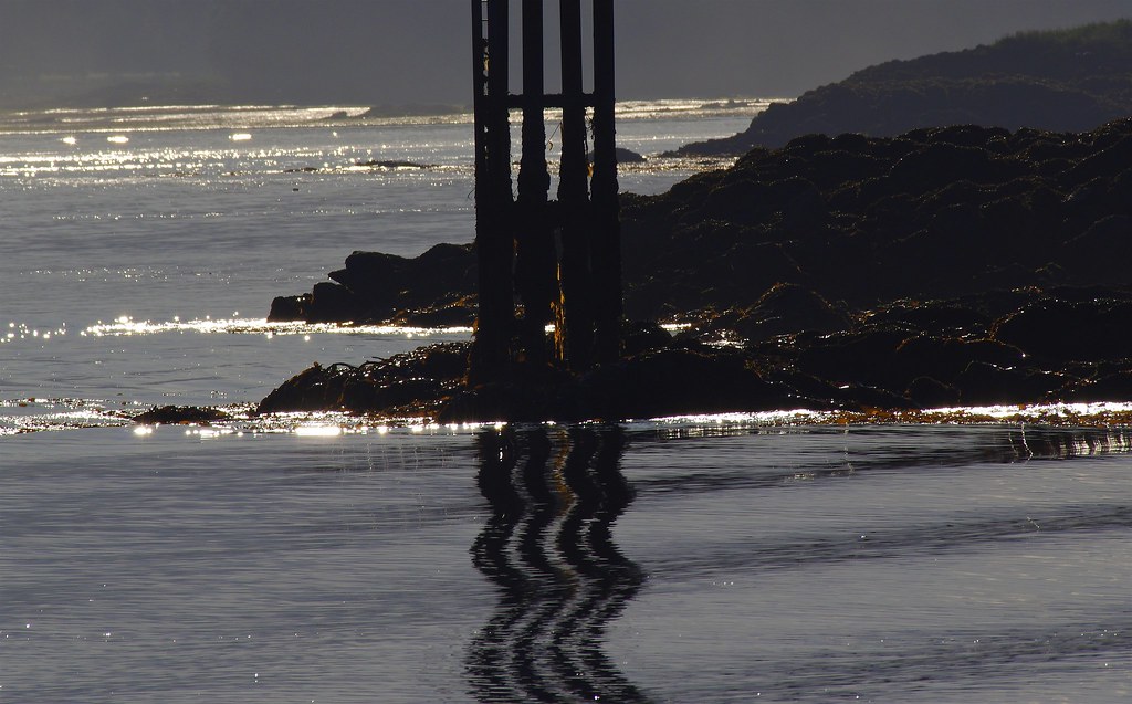
Oct Storm-37

Prince Rupert cuisine with a view at Breaker's.
a- Arriving in Prince Rupert, Canada

Typical view of open sea

Butze Rapids Interpretive Trail
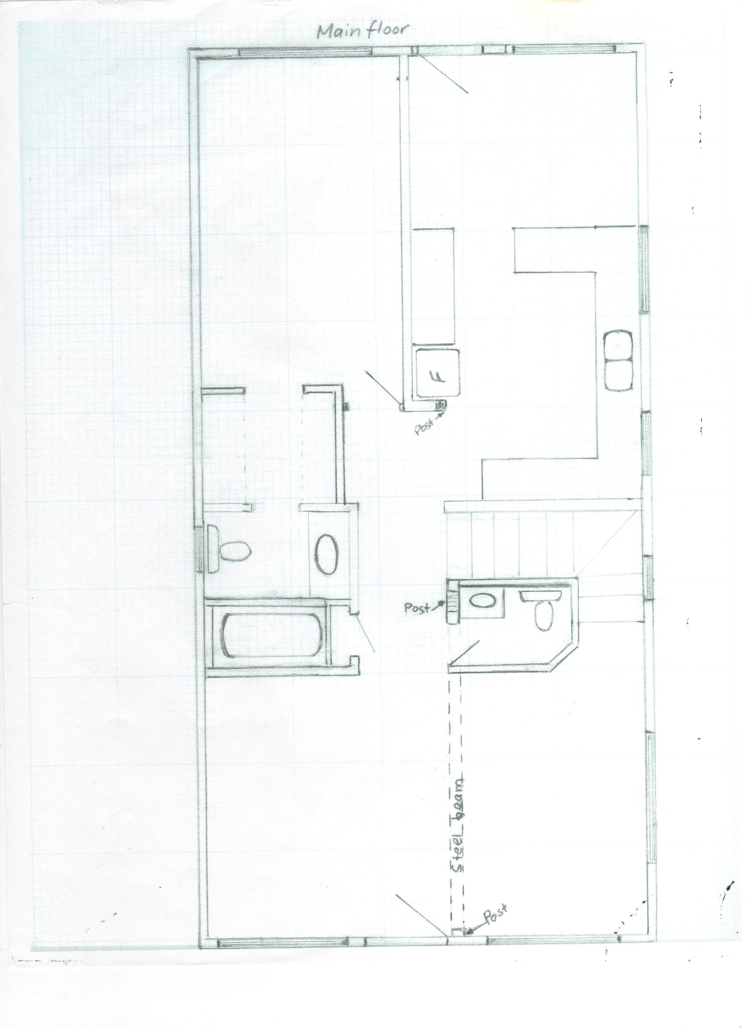
Main Floor Plan
Morning view from Jimbob's hotel room in Prince Rupert, BC

View from Crest Hotel

view from Breakers Pub
Dark Night

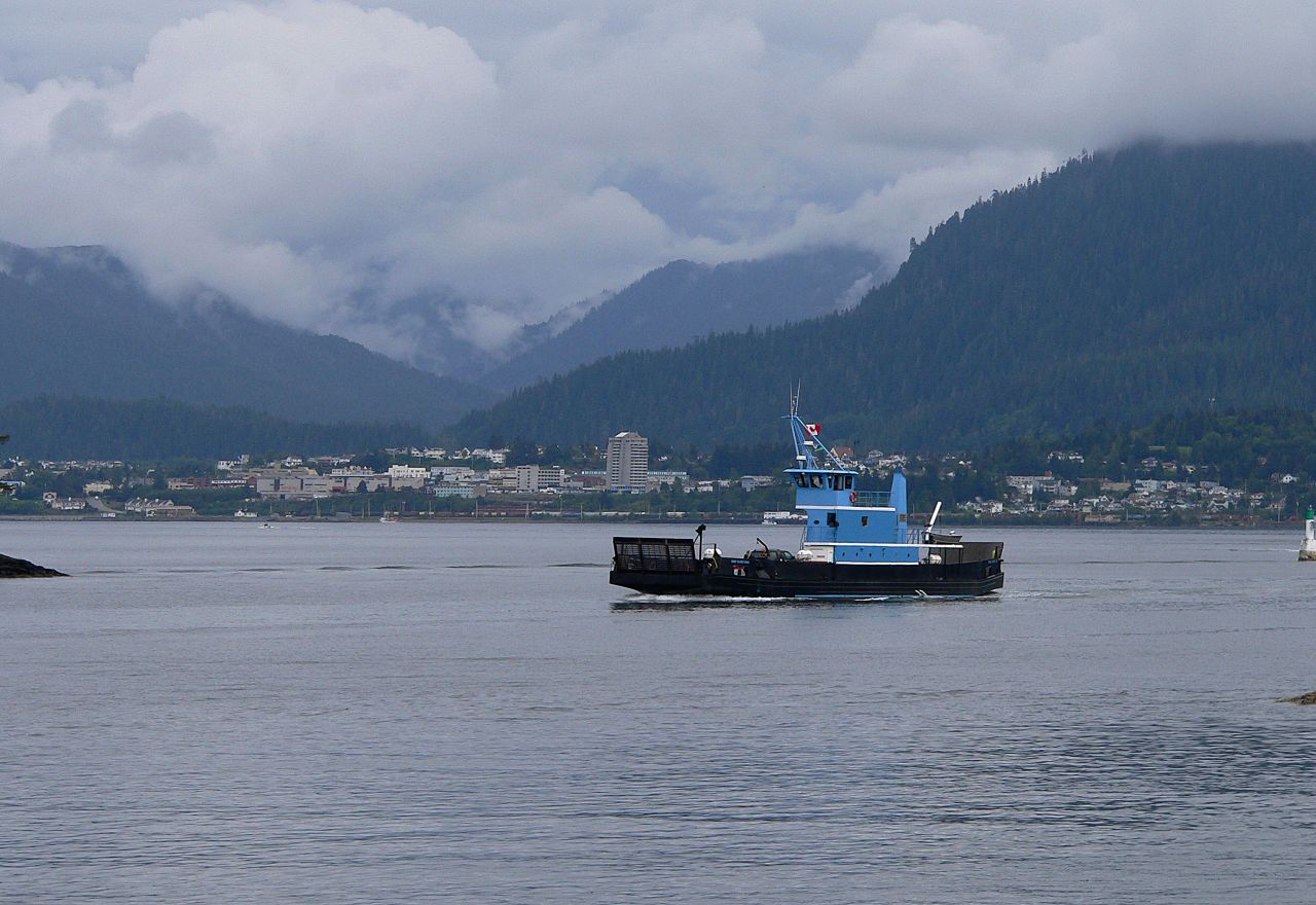
Tug and Barge Heading South
New Forest Startup
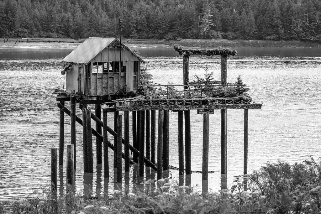
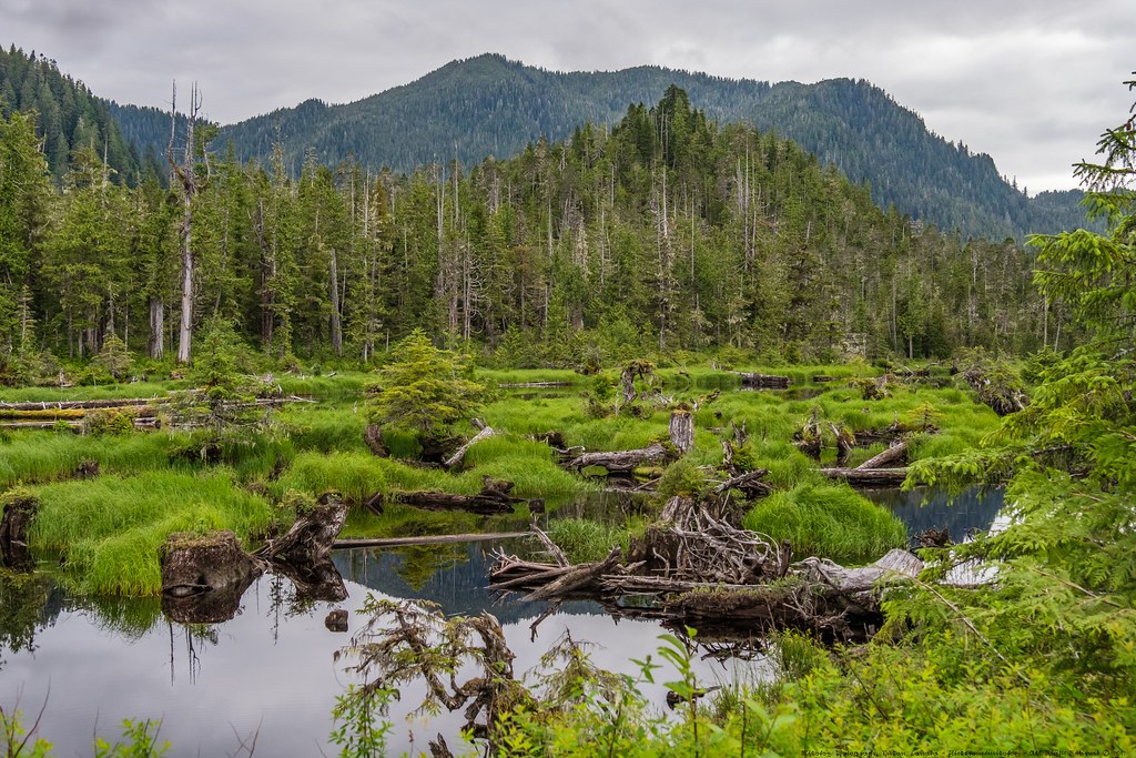
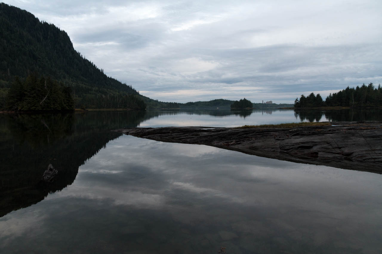
Moresby Pond
Tough Growing Conditions
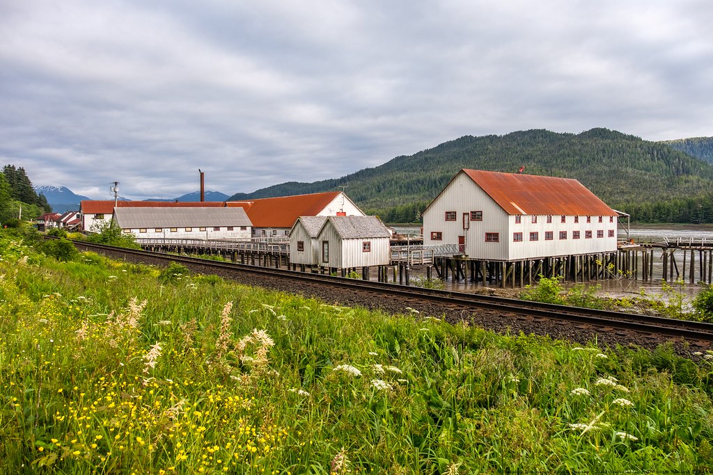
Port Edward Cannery
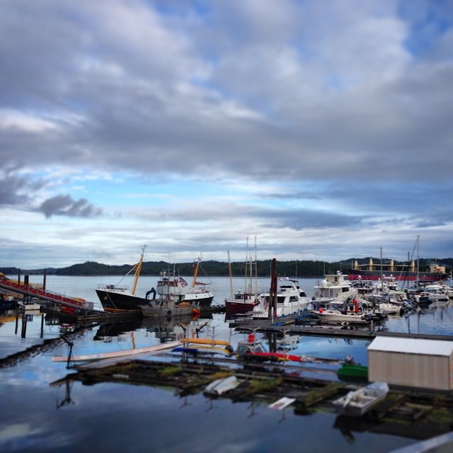
In the channel
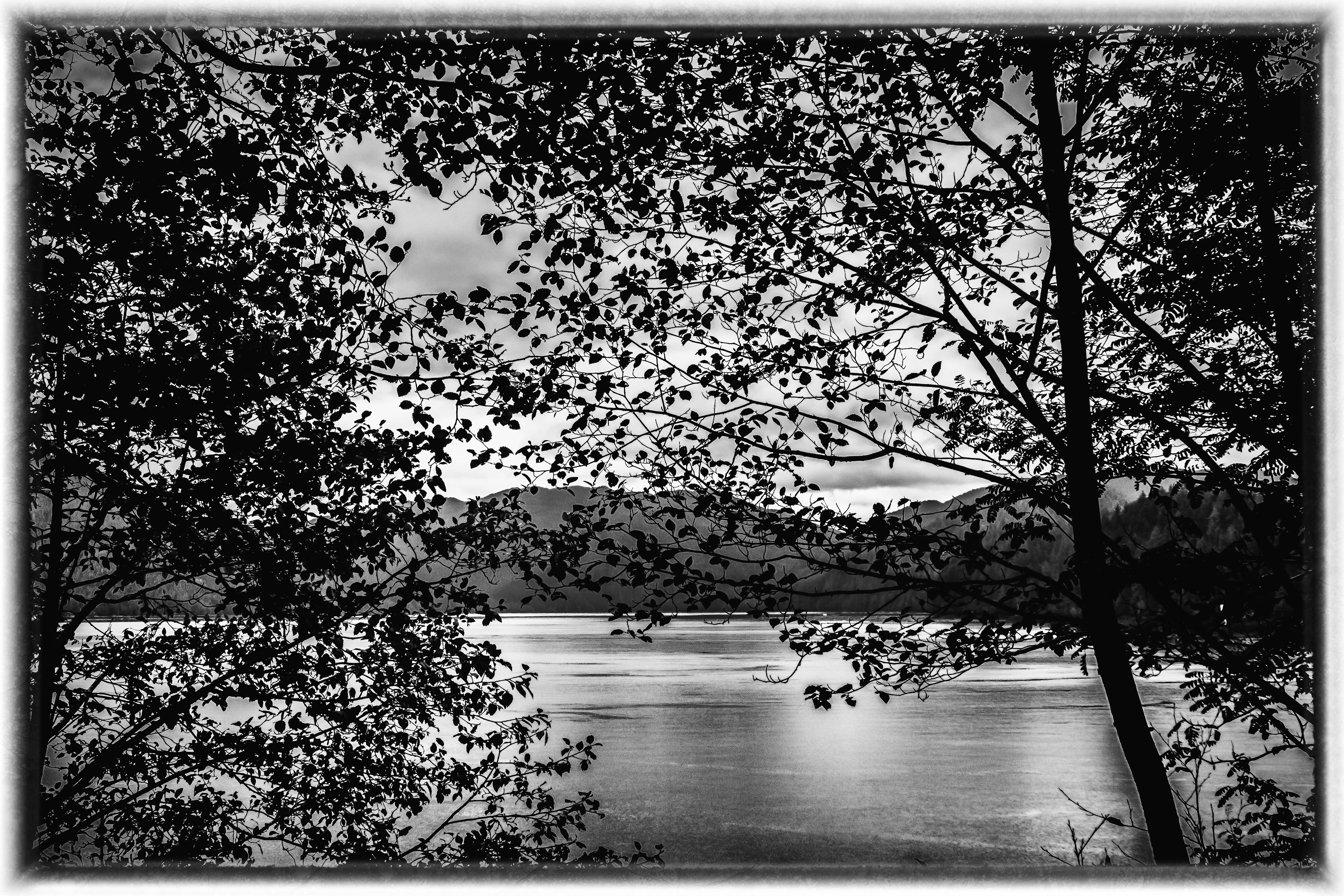
Canada - West Coast littoral / British Columbia
Mijn fotostream-445
Wainwright Basin
Mijn fotostream-434

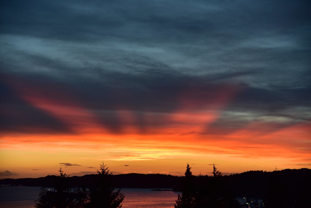
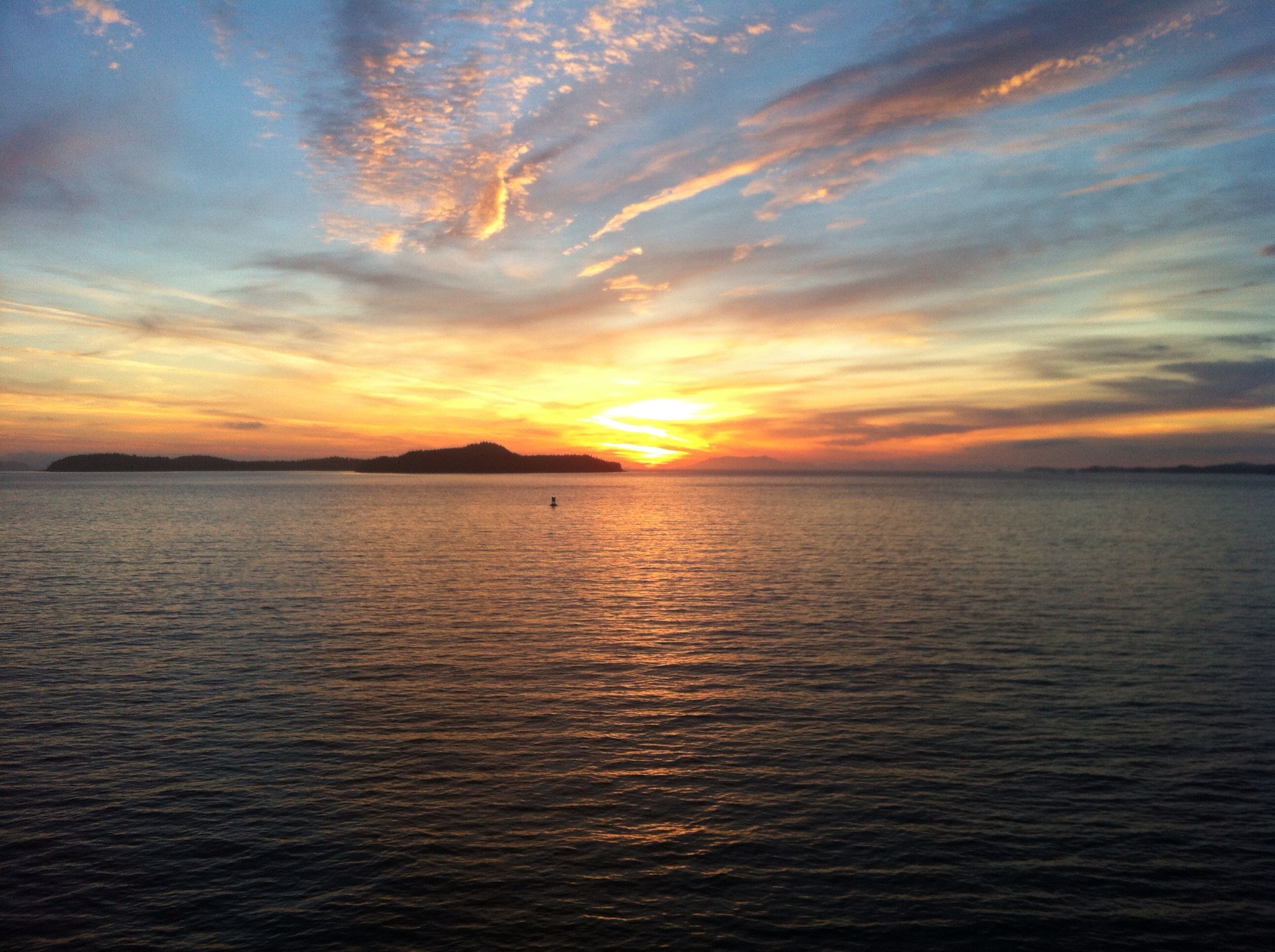
Sunset Stroll Along the Pier
Good morning #princerupert #insidepassage #beautifulbritishcolumbia #explorebc
Butze Rapids Trai
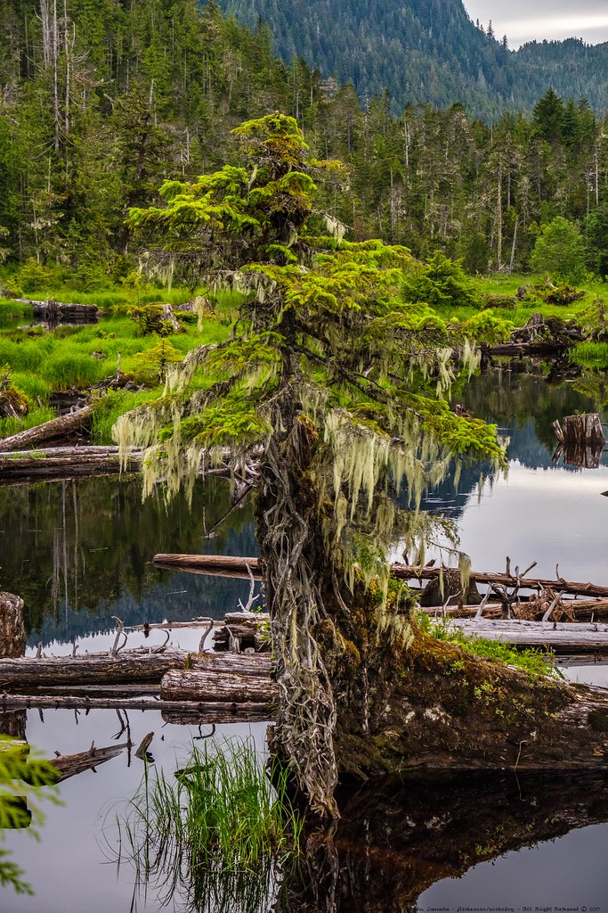
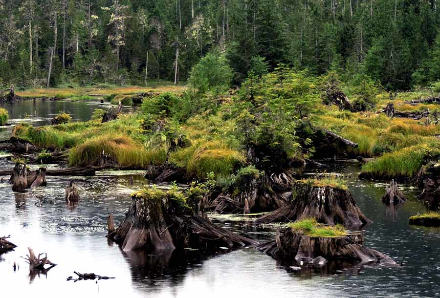
Logged-over Pond
Prince Rupert Landscape

Kaien Island Bridge
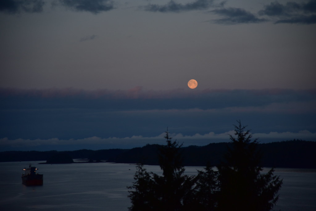
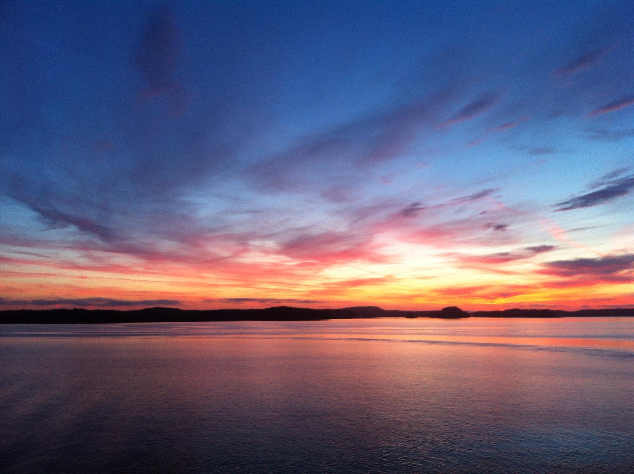
Blue moon about to set.
Topographic Map of Summit Ave, Prince Rupert, BC V8J, Canada
Find elevation by address:

Places near Summit Ave, Prince Rupert, BC V8J, Canada:
1300 Summit Ave
Prince Rupert
840 Prince Rupert Blvd #301
860 Prince Rupert Blvd
860 Prince Rupert Blvd #302
Recent Searches:
- Elevation of 6 Rue Jules Ferry, Beausoleil, France
- Elevation of Sattva Horizon, 4JC6+G9P, Vinayak Nagar, Kattigenahalli, Bengaluru, Karnataka, India
- Elevation of Great Brook Sports, Gold Star Hwy, Groton, CT, USA
- Elevation of 10 Mountain Laurels Dr, Nashua, NH, USA
- Elevation of 16 Gilboa Ln, Nashua, NH, USA
- Elevation of Laurel Rd, Townsend, TN, USA
- Elevation of 3 Nestling Wood Dr, Long Valley, NJ, USA
- Elevation of Ilungu, Tanzania
- Elevation of Yellow Springs Road, Yellow Springs Rd, Chester Springs, PA, USA
- Elevation of Rēzekne Municipality, Latvia