Elevation of Summerland Way, Warragai Creek NSW, Australia
Location: Australia > New South Wales > Clarence Valley Council > Warragai Creek >
Longitude: 152.996511
Latitude: -29.548023
Elevation: 39m / 128feet
Barometric Pressure: 101KPa
Elevation Map:
Satellite Map:
Related Photos:

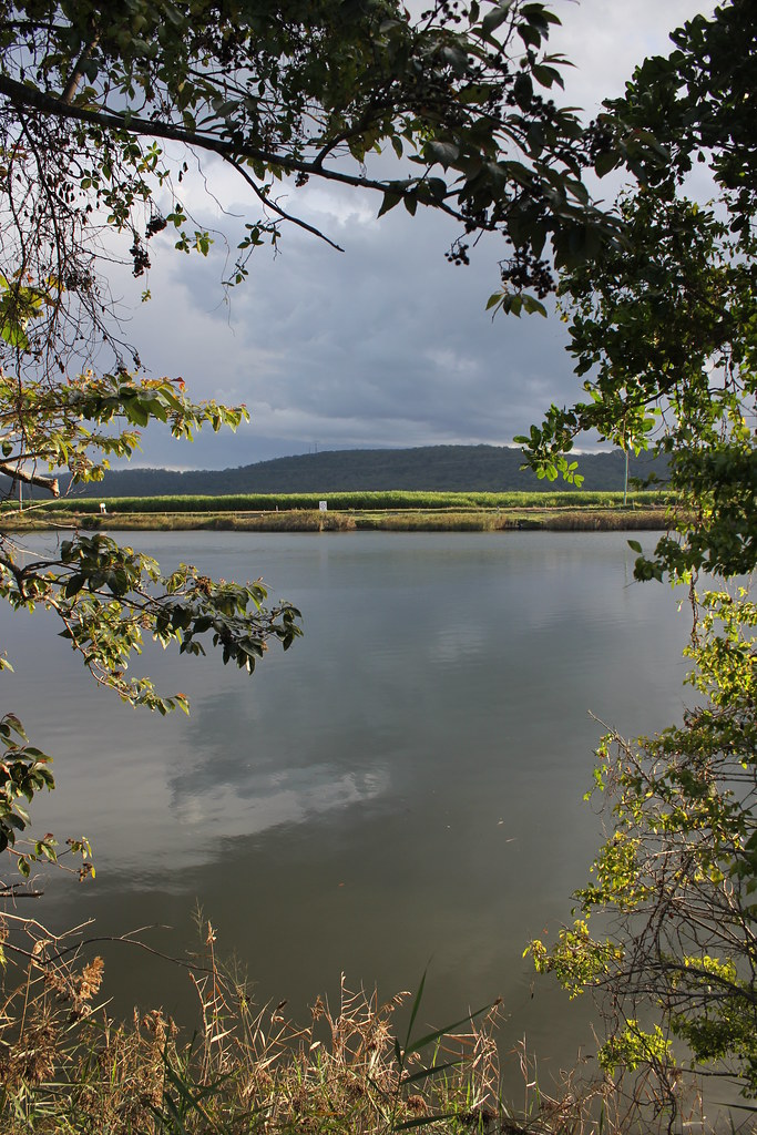
Clarence River, NSW

Grafton Gaol - Grafton, NSW - 1893

Echinochloa telmatophila habit2

Echinochloa telmatophila habit4

Echinochloa telmatophila habit1

Echinochloa telmatophila habit6

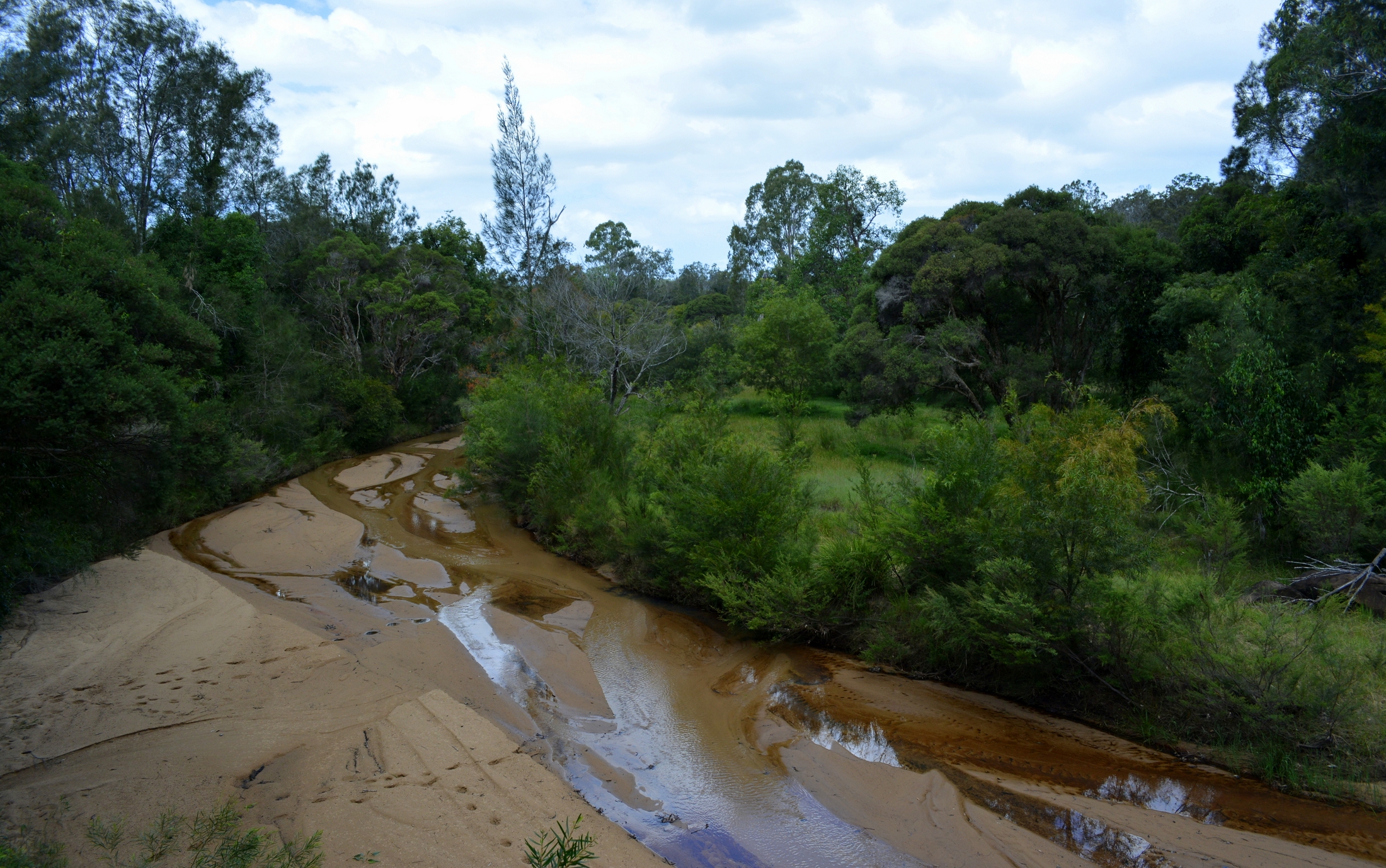
near Whiteman Creek
Dilkoon Creek

Grafton afternoon storms

Alumy Creek

Storm Clouds over the Cemetery

Tyndale North Former Alignment

flood flats in cloud shadow

Wyatt Straight-2
Ulmarra, NSW

Saling Club Ballina LT

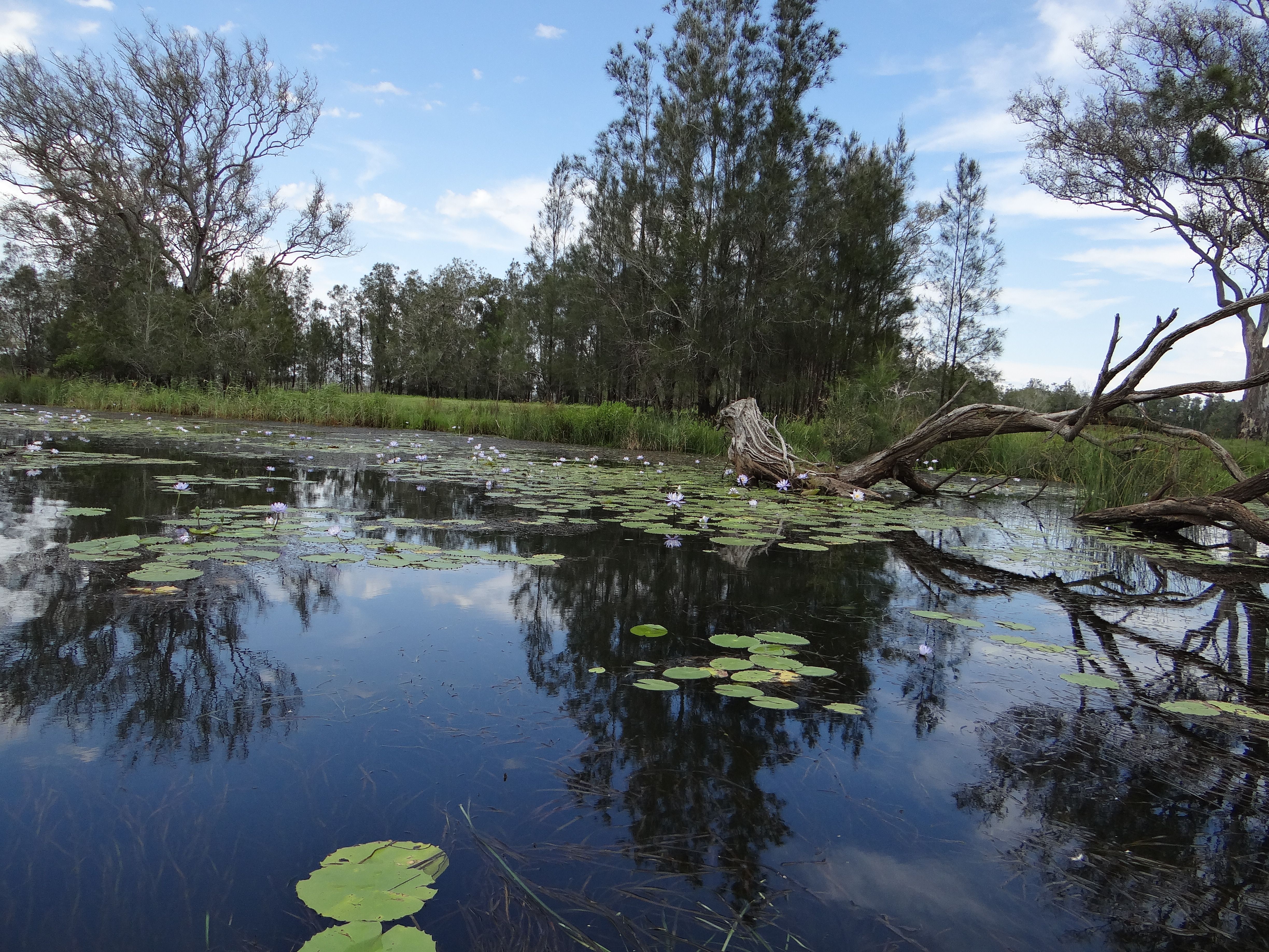
Everlasting Swamp NP_101215_DSC02769

Everlasting Swamp NP_101215_DSC02714
Everlasting Swamp NP_101215_DSC02729

Everlasting Swamp NP_101215_DSC02741

Saling Club ramp Ballina HT

Everlasting Swamp NP_101215_DSC02731
Topographic Map of Summerland Way, Warragai Creek NSW, Australia
Find elevation by address:

Places near Summerland Way, Warragai Creek NSW, Australia:
Warragai Creek
Grafton
Clarenza
40 Edward Ogilvie Dr
23 Eight Mile Ln
1080 Firth Heinz Rd
Coutts Crossing
213 Clearview Rd
213 Clearview Rd
213 Clearview Rd
Blaxlands Creek
596 Clearview Rd
Clarence Valley Council
Glenreagh
492 Timber Top Rd
Coffs Harbour City Council
Lowanna
280d Upper Orara Rd
Korora
Upper Orara
Recent Searches:
- Elevation of Bernina Dr, Lake Arrowhead, CA, USA
- Elevation of N 82nd Pl, Mesa, AZ, USA
- Elevation of Snake Hill Rd, North Scituate, RI, USA
- Elevation of Lake Shore Dr, Warwick, RI, USA
- Elevation of E Brightview Ave, Pittsburgh, PA, USA
- Elevation of Cavendish Rd, Harringay Ladder, London N4 1RR, UK
- Elevation of 1 Zion Park Blvd, Springdale, UT, USA
- Elevation of Ganderbal
- Elevation map of Konkan Division, Maharashtra, India
- Elevation of Netaji Nagar, Hallow Pul, Kurla, Mumbai, Maharashtra, India