Elevation of Summer House Hollow Rd, Del Rio, TN, USA
Location: United States > Tennessee > Cocke County > Del Rio >
Longitude: -83.009809
Latitude: 35.916847
Elevation: 403m / 1322feet
Barometric Pressure: 97KPa
Elevation Map:
Satellite Map:
Related Photos:

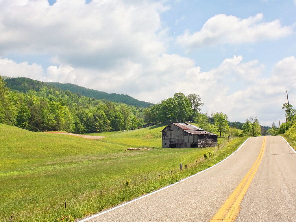
Rural Barn of Tennessee

Celebrating the 4th of July

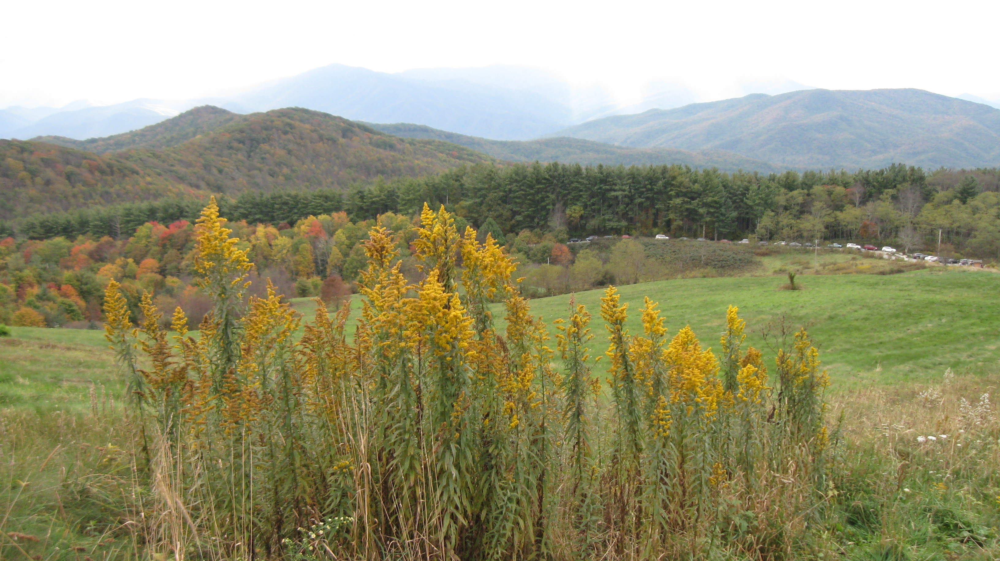
Max Patch

The Smokey Mountains

View from Max Patch

View from Max Patch

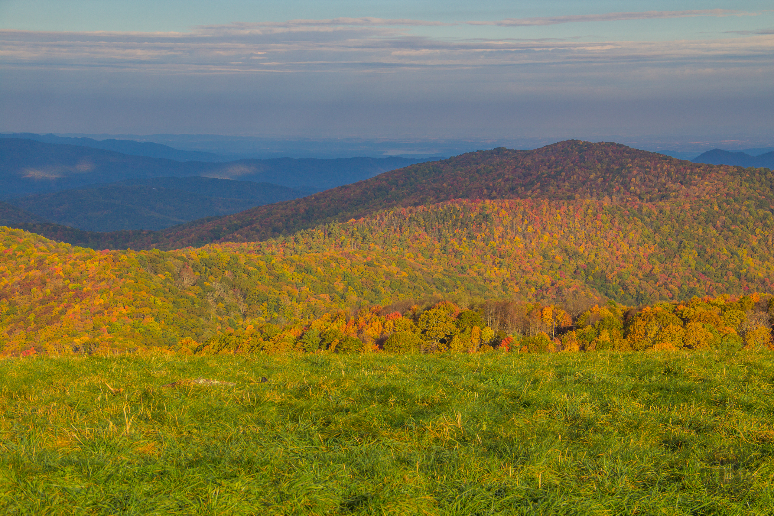
Fall on Max Patch

Rainbows over Max Patch

The Appalachian Trail

View looking north from Max Patch

View from Meadow Creek Firetower

View from Meadow Creek Firetower

View from Meadow Creek Firetower

Hiked up to Max Patch for 360° of stunning views. #appalachiantrail #maxpatch #northcarolina

tracks & mountains
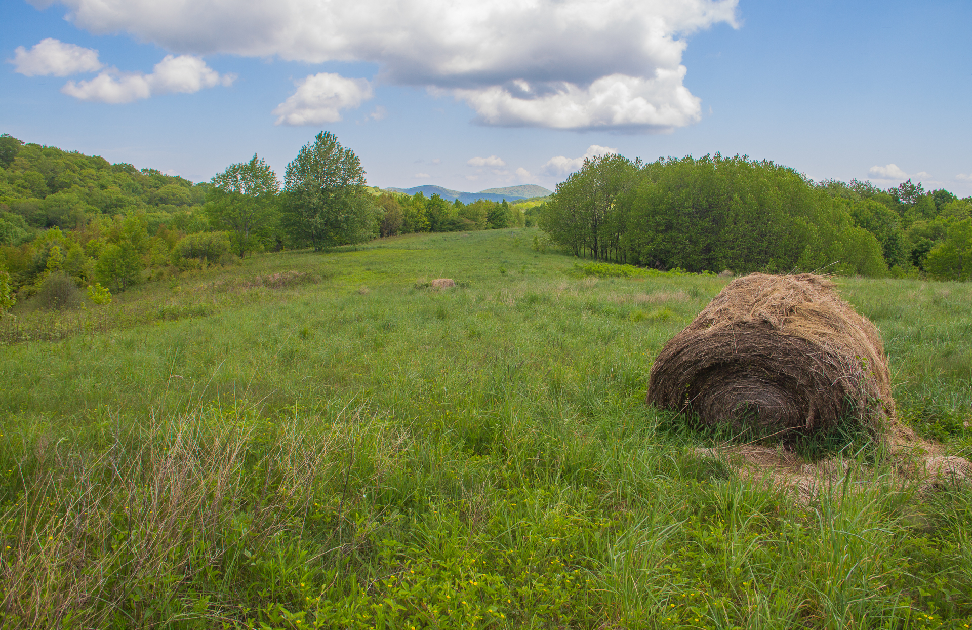
Houston Valley

View from Max Patch, looking east
Max Patch - October 12, 2013-036
Buckeye Ridge, Max Patch, North Carolina

View from Max Patch, looking east

Max Patch - October 12, 2013-065

Paint Creek under starlight

135 at Newport

Max Patch mountain

Max Patch - October 12, 2013-052

Max Patch - October 12, 2013-026

Max Patch - October 12, 2013-008

View from Snowbird Mtn - W4T/SU-035

Max Patch - October 12, 2013-007

123 along the French Broad

Max Patch, N.C.
Autumn's Finest at Max Patch, Pisgah National Forest, North Carolina

2013-11-19 13.41.21
Topographic Map of Summer House Hollow Rd, Del Rio, TN, USA
Find elevation by address:

Places near Summer House Hollow Rd, Del Rio, TN, USA:
Del Rio, TN, USA
268 Tn-107
160 Summer House Hollow Rd
Del Rio
TN-, Del Rio, TN, USA
550 Tn-107
601 Fugate Rd
365 Catnip Rd
489 Tn-107
3018 Us-25
247 Old 15th Rd
251 Old 15th Rd
Fox Den
505 Old 15th Rd
765 Bellcarry Way
959 Blue Mill Rd
River Vista Way
805 Punkton Rd
Punkton Road
Punkton Road
Recent Searches:
- Elevation of Unnamed Road, Respublika Severnaya Osetiya — Alaniya, Russia
- Elevation of Verkhny Fiagdon, North Ossetia–Alania Republic, Russia
- Elevation of F. Viola Hiway, San Rafael, Bulacan, Philippines
- Elevation of Herbage Dr, Gulfport, MS, USA
- Elevation of Lilac Cir, Haldimand, ON N3W 2G9, Canada
- Elevation of Harrod Branch Road, Harrod Branch Rd, Kentucky, USA
- Elevation of Wyndham Grand Barbados Sam Lords Castle All Inclusive Resort, End of Belair Road, Long Bay, Bridgetown Barbados
- Elevation of Iga Trl, Maggie Valley, NC, USA
- Elevation of N Co Rd 31D, Loveland, CO, USA
- Elevation of Lindever Ln, Palmetto, FL, USA