Elevation of Sulligent, AL, USA
Location: United States > Alabama > Lamar County >
Longitude: -88.134477
Latitude: 33.9017738
Elevation: 99m / 325feet
Barometric Pressure: 100KPa
Elevation Map:
Satellite Map:
Related Photos:
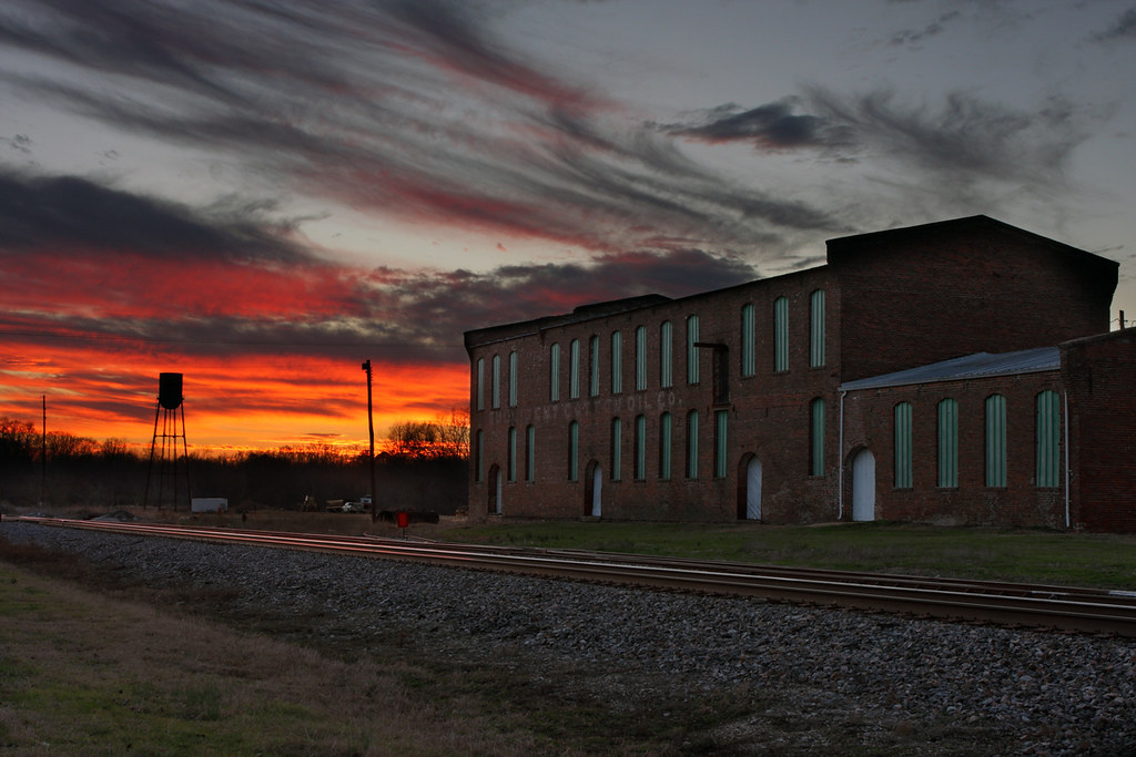
Hometown Sunset

Alabama Sunset
Topographic Map of Sulligent, AL, USA
Find elevation by address:

Places in Sulligent, AL, USA:
Places near Sulligent, AL, USA:
Jackson Military Rd, Sulligent, AL, USA
Sipsey Fork Rd, Greenwood Springs, MS, USA
Beaverton
Vernon
60593 Splunge Rd
Greenwood Springs
Greenwood Springs Rd, Greenwood Springs, MS, USA
Wolfe Rd, Caledonia, MS, USA
16876 Us-278
Blooming Grove Rd, Vernon, AL, USA
2212 Co Rd 39
County Road 39
County Road 39
1718 Co Rd 16
Highway 278 Northeast
Co Rd 55, Hamilton, AL, USA
Guin
AL-, Fayette, AL, USA
AL-, Winfield, AL, USA
Hatley-Detroit Rd, Amory, MS, USA
Recent Searches:
- Elevation of Corso Fratelli Cairoli, 35, Macerata MC, Italy
- Elevation of Tallevast Rd, Sarasota, FL, USA
- Elevation of 4th St E, Sonoma, CA, USA
- Elevation of Black Hollow Rd, Pennsdale, PA, USA
- Elevation of Oakland Ave, Williamsport, PA, USA
- Elevation of Pedrógão Grande, Portugal
- Elevation of Klee Dr, Martinsburg, WV, USA
- Elevation of Via Roma, Pieranica CR, Italy
- Elevation of Tavkvetili Mountain, Georgia
- Elevation of Hartfords Bluff Cir, Mt Pleasant, SC, USA