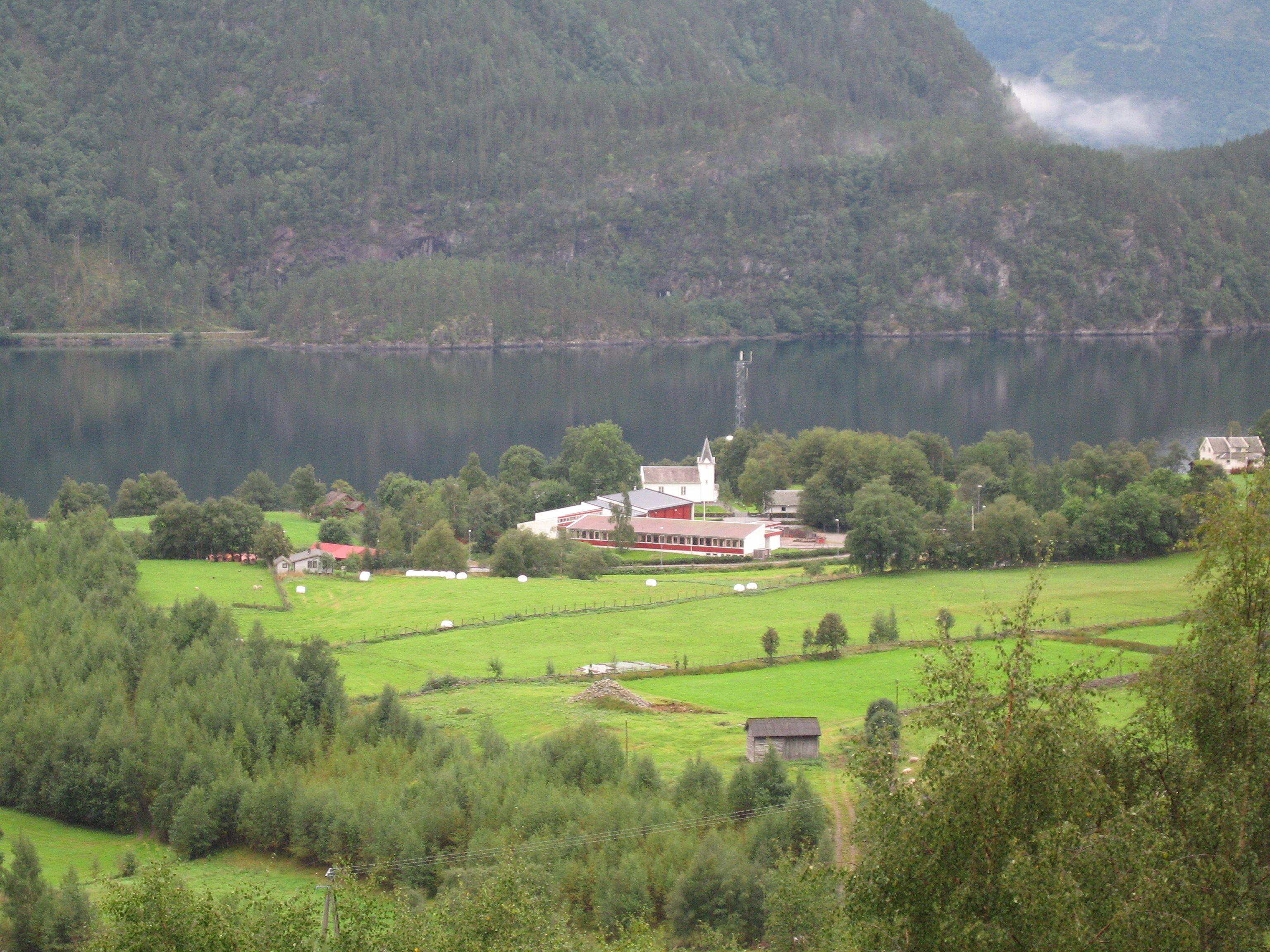
Elevation of Suldal, Norway
Location: Norway > Rogaland >
Longitude: 6.8164381
Latitude: 59.5715437
Elevation: 624m / 2047feet
Barometric Pressure: 94KPa
Elevation Map:
Satellite Map:
Related Photos:
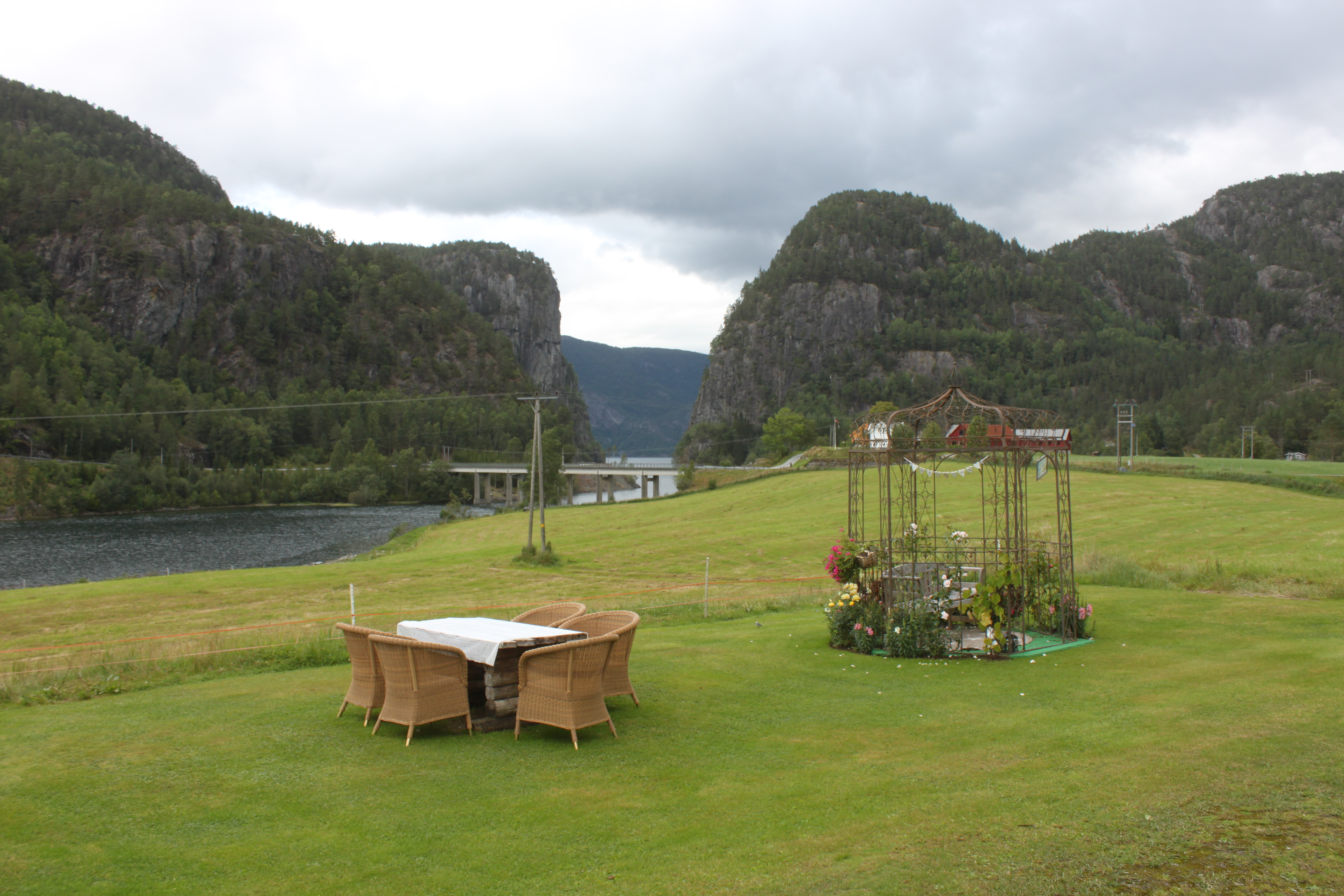
A room with a view
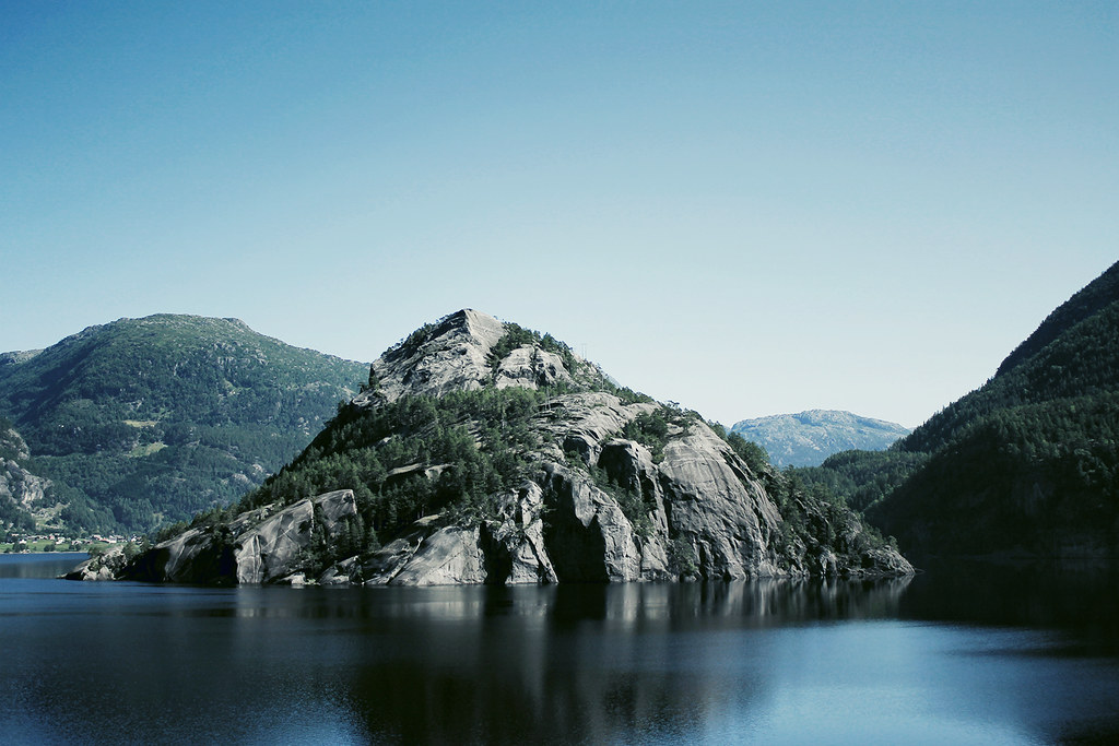
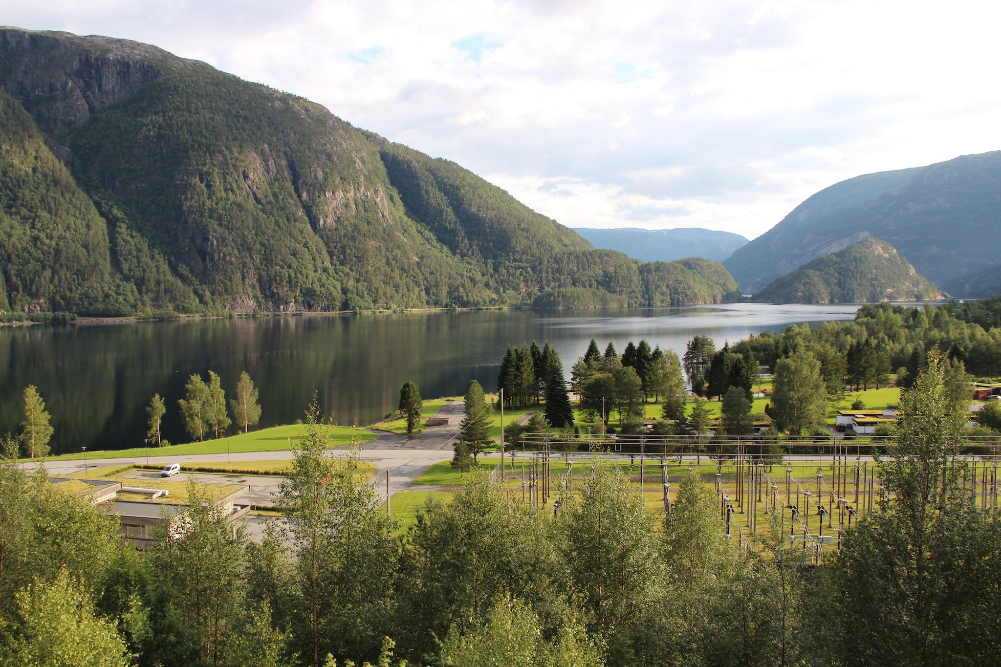
Suldalsvatnet lake in Norway
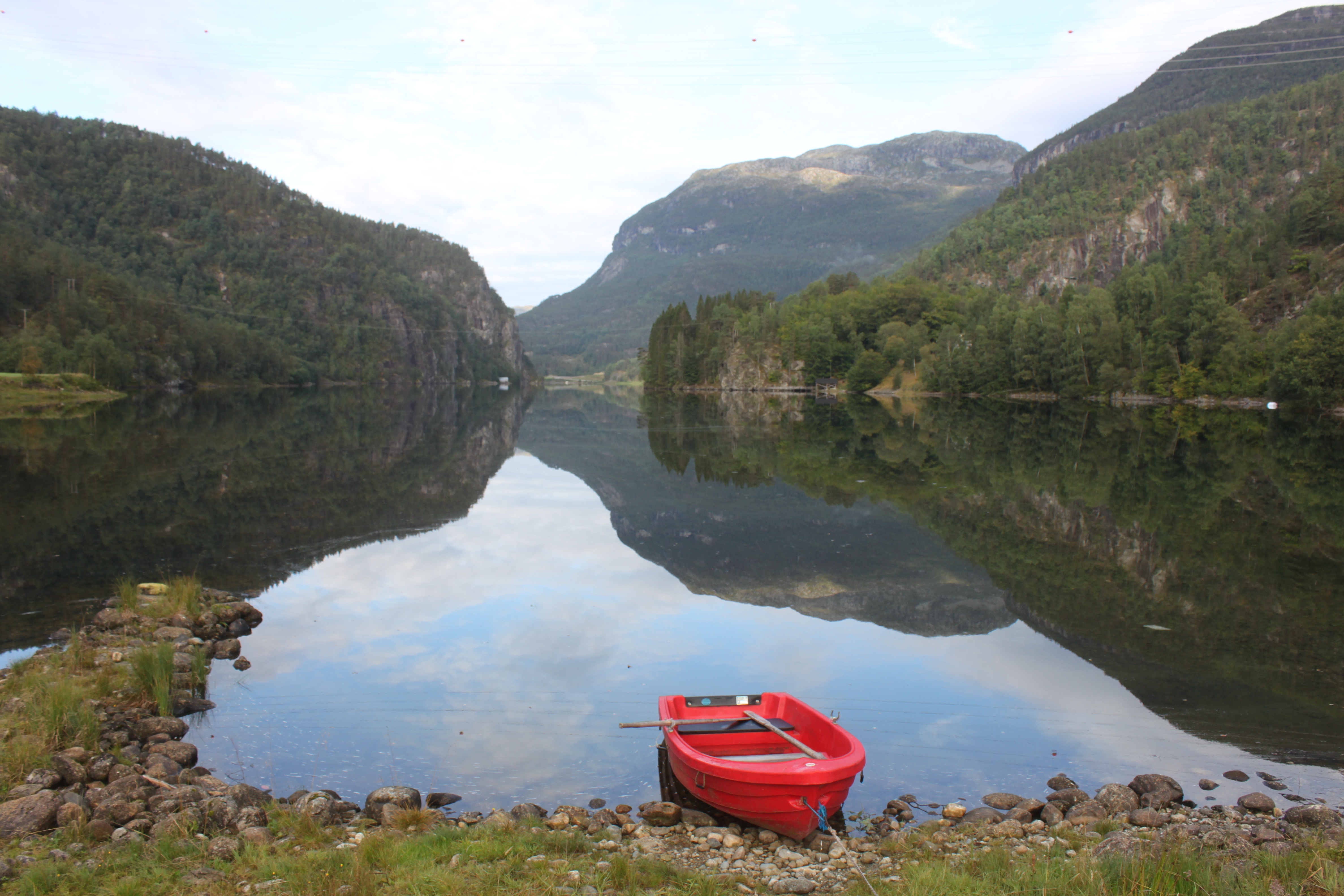
Red Boat
2013-08-28 16.15.08 _74_
noorwegen 150

Kinsarvik | Shore
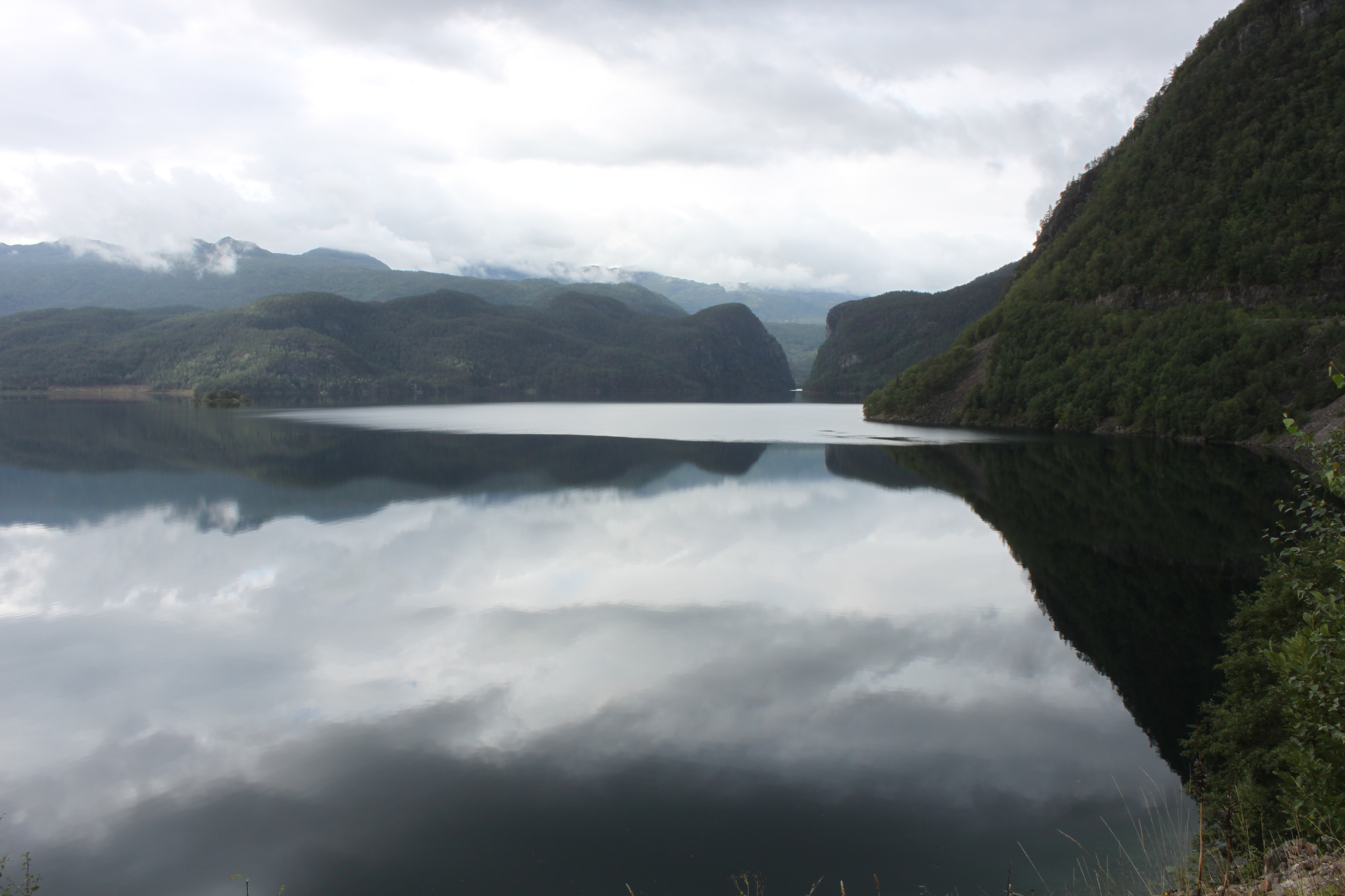
Suldalsvatnet and Suldalsporten
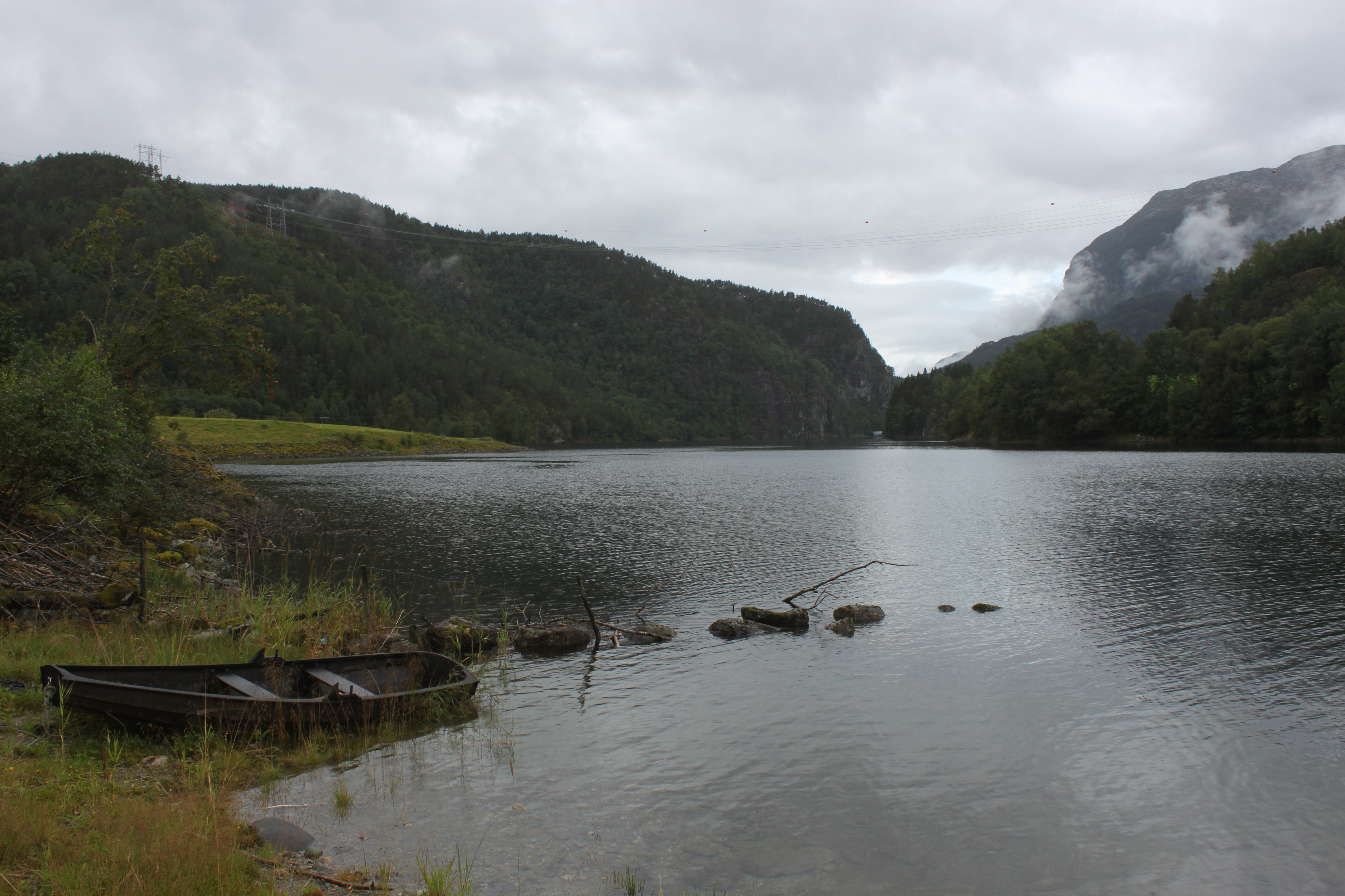
Suldal Lake

Suldal Lake
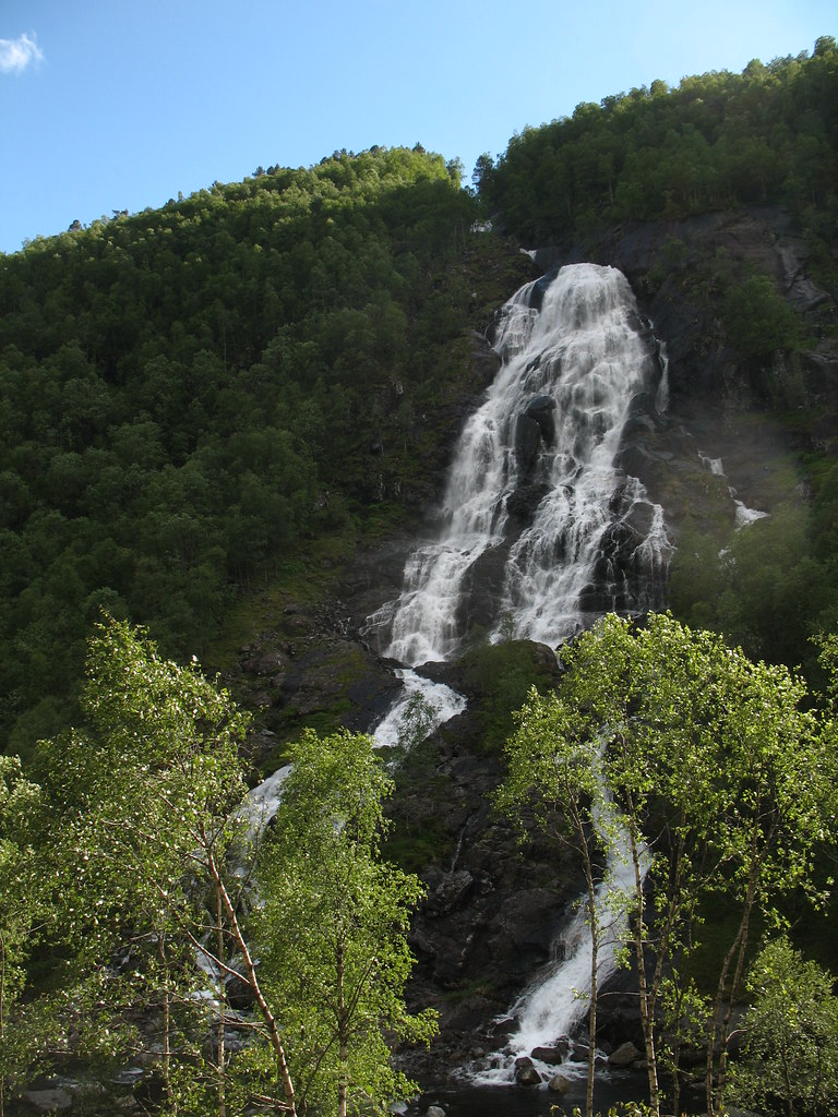
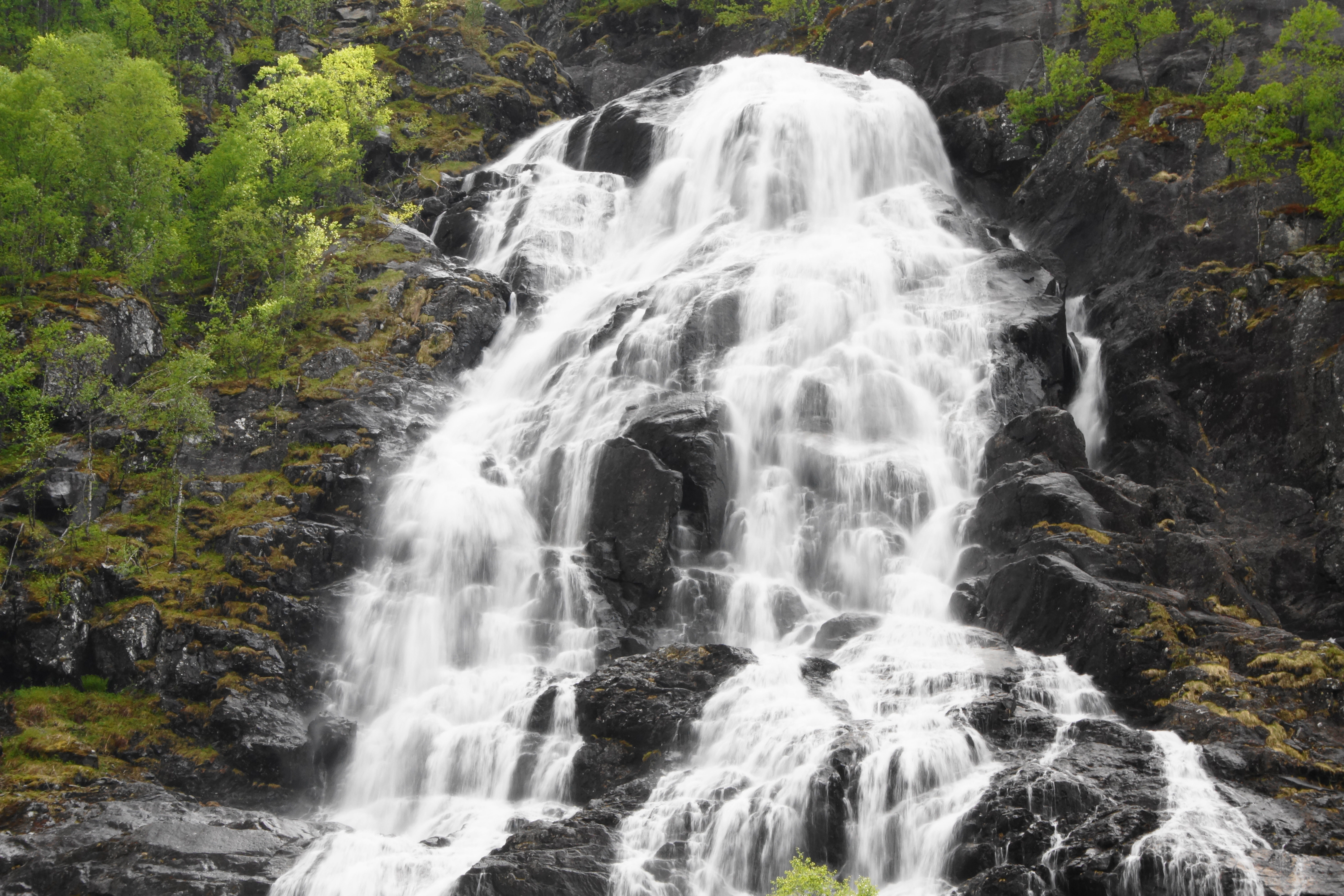
Flesåna
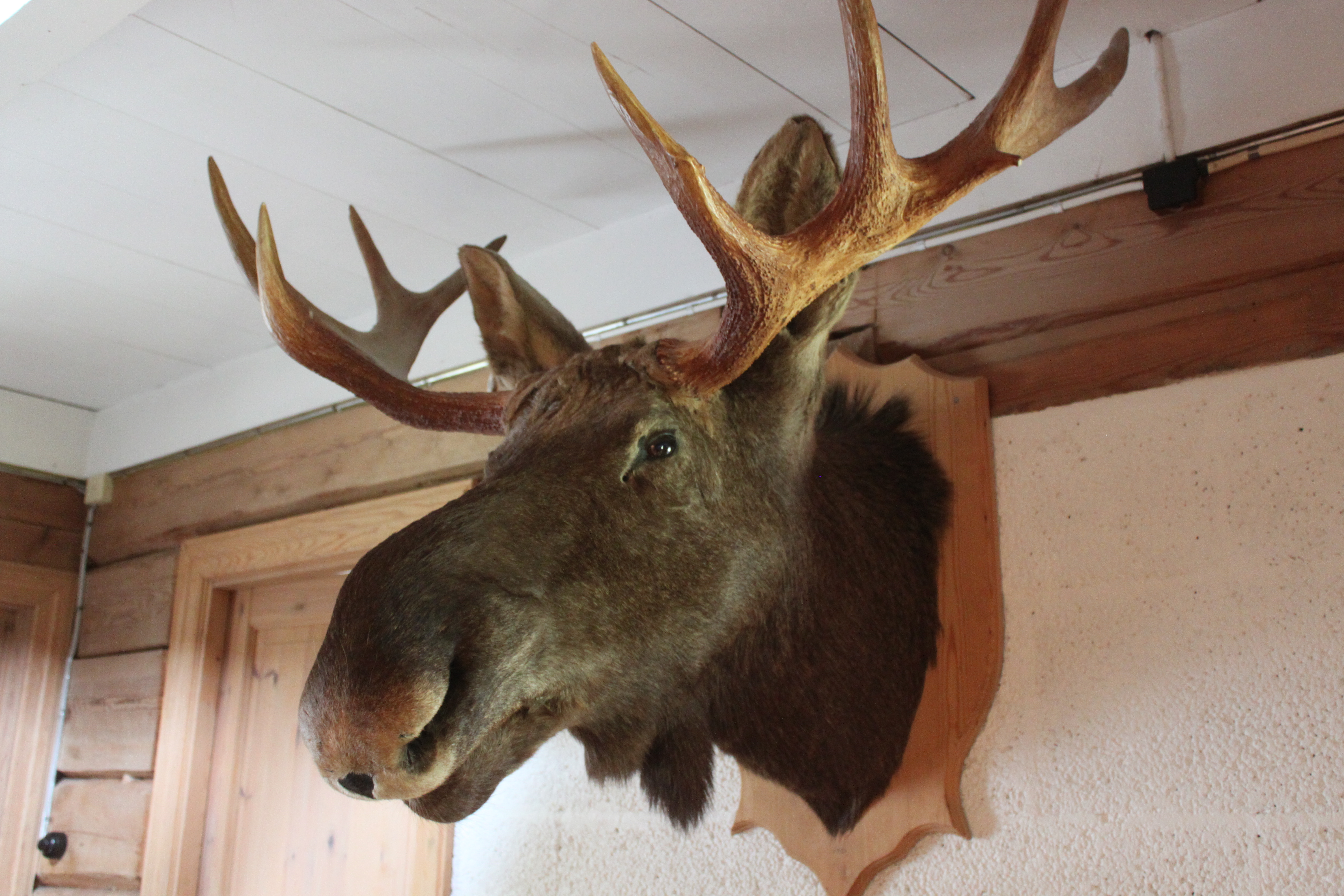
Moose Head
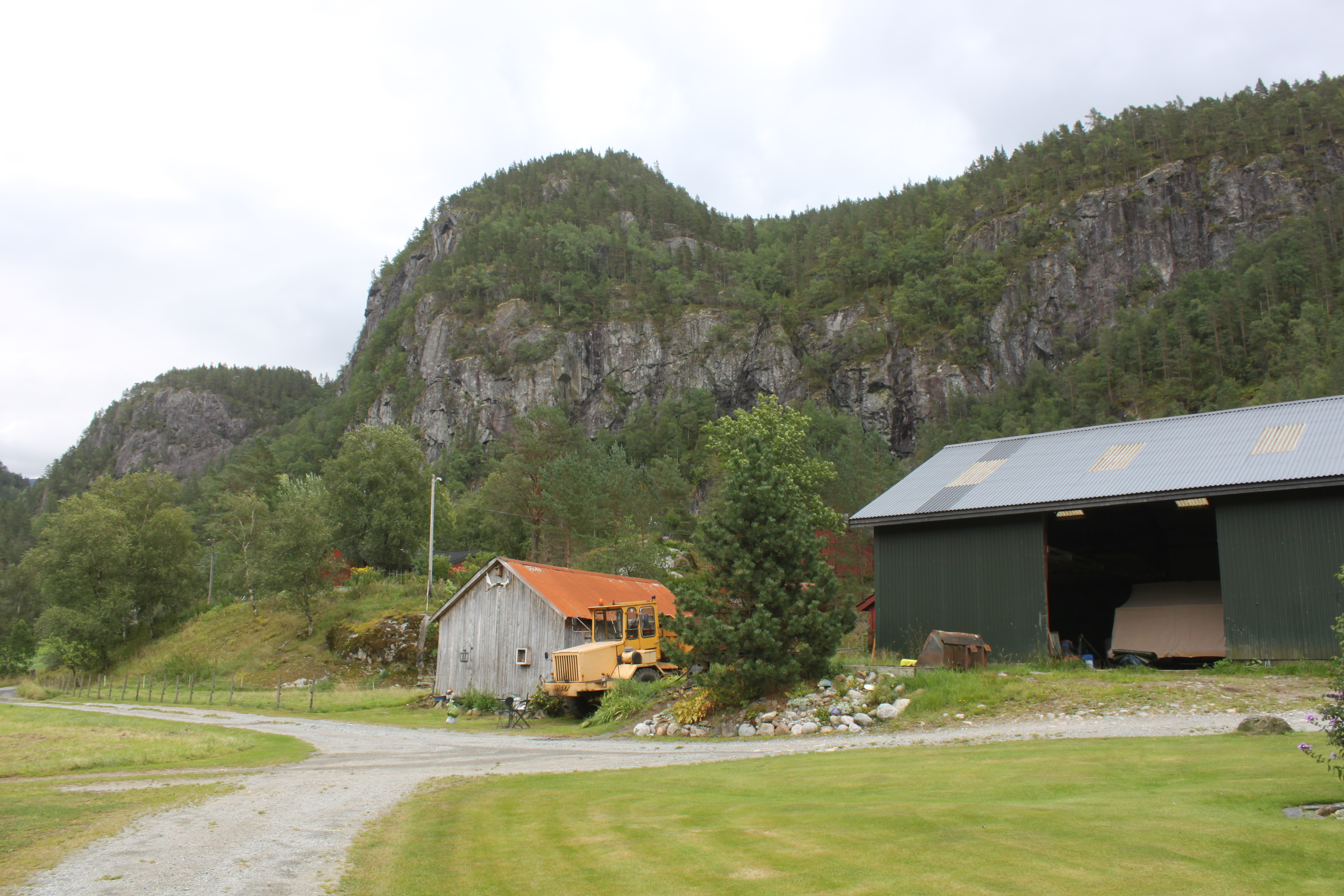
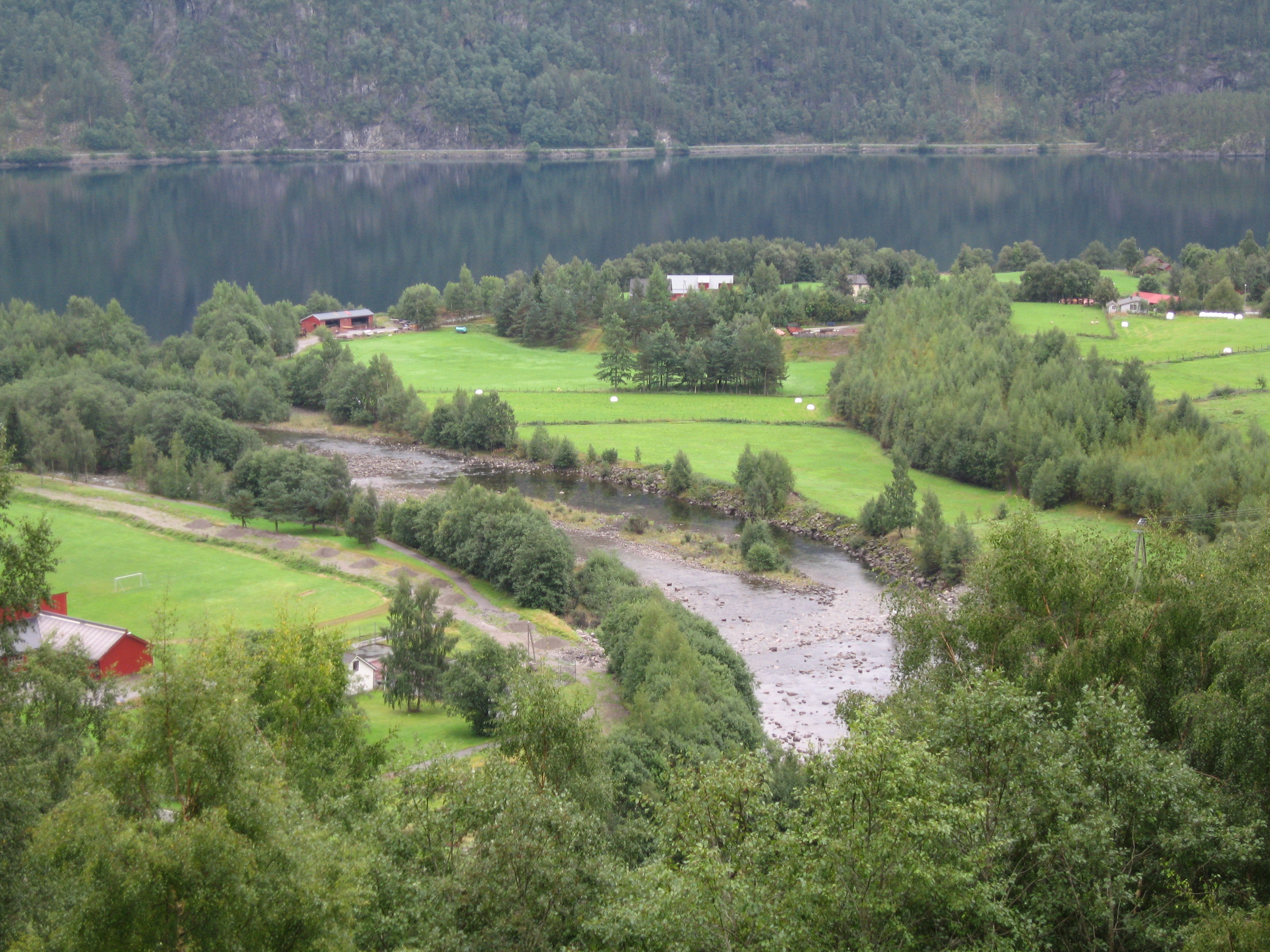
Farm in Helganes
20120729 19-20-12 Norwegen 639

2014-08-28 20.14.29 HDR
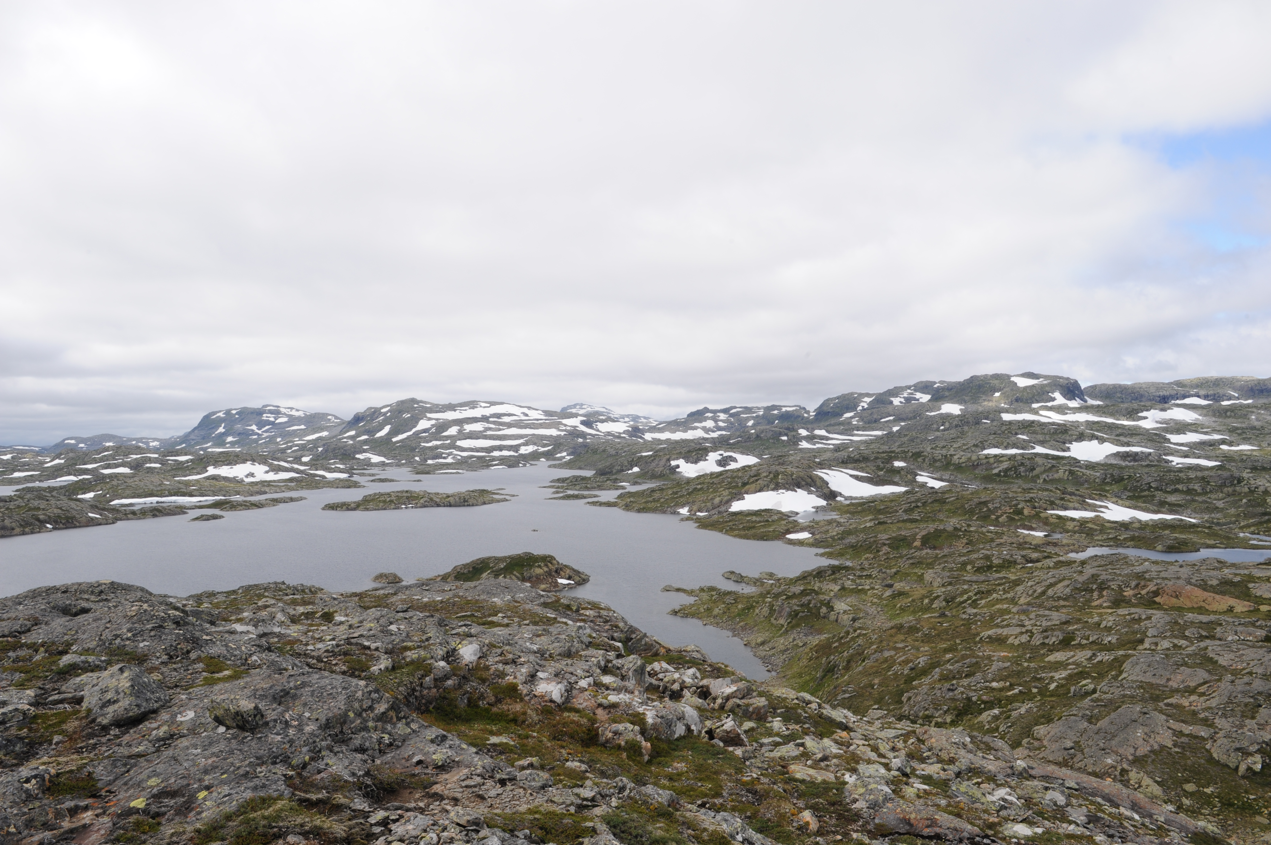
Utsyn mot Steinkilevatnet og Kaldafjellet

waterfall and fish mural
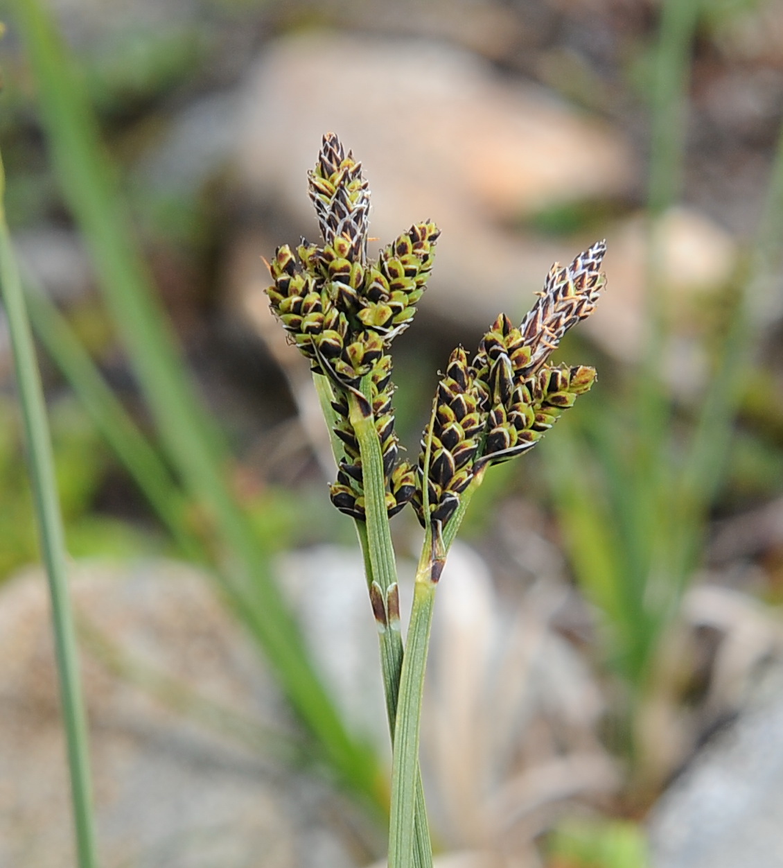
Carex bigelowii STIVSTARR Stiff Sedge / Starre Segge
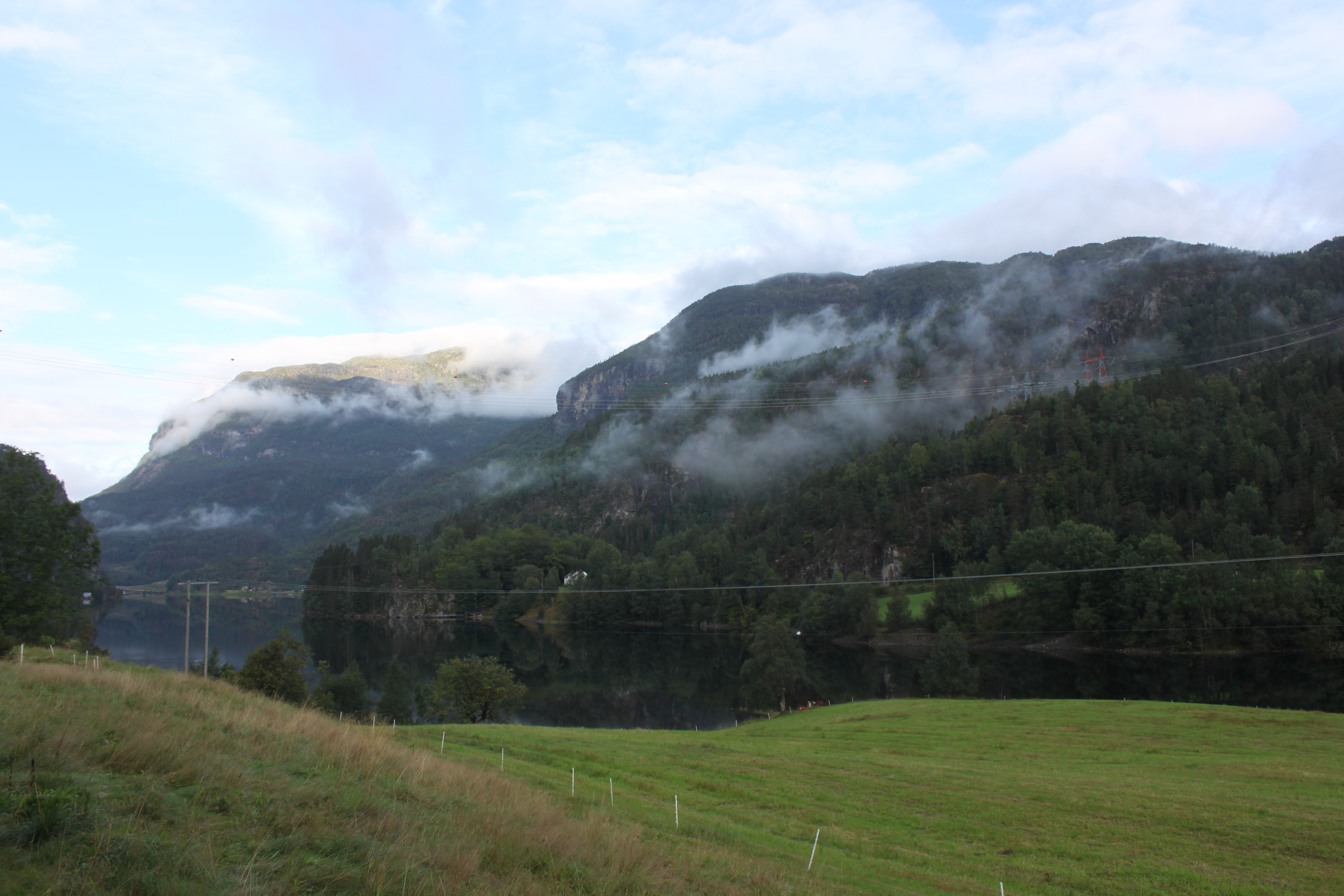
Helganes - early morning

2013-08-28 14.04.41 _63_
Nesflaten 3
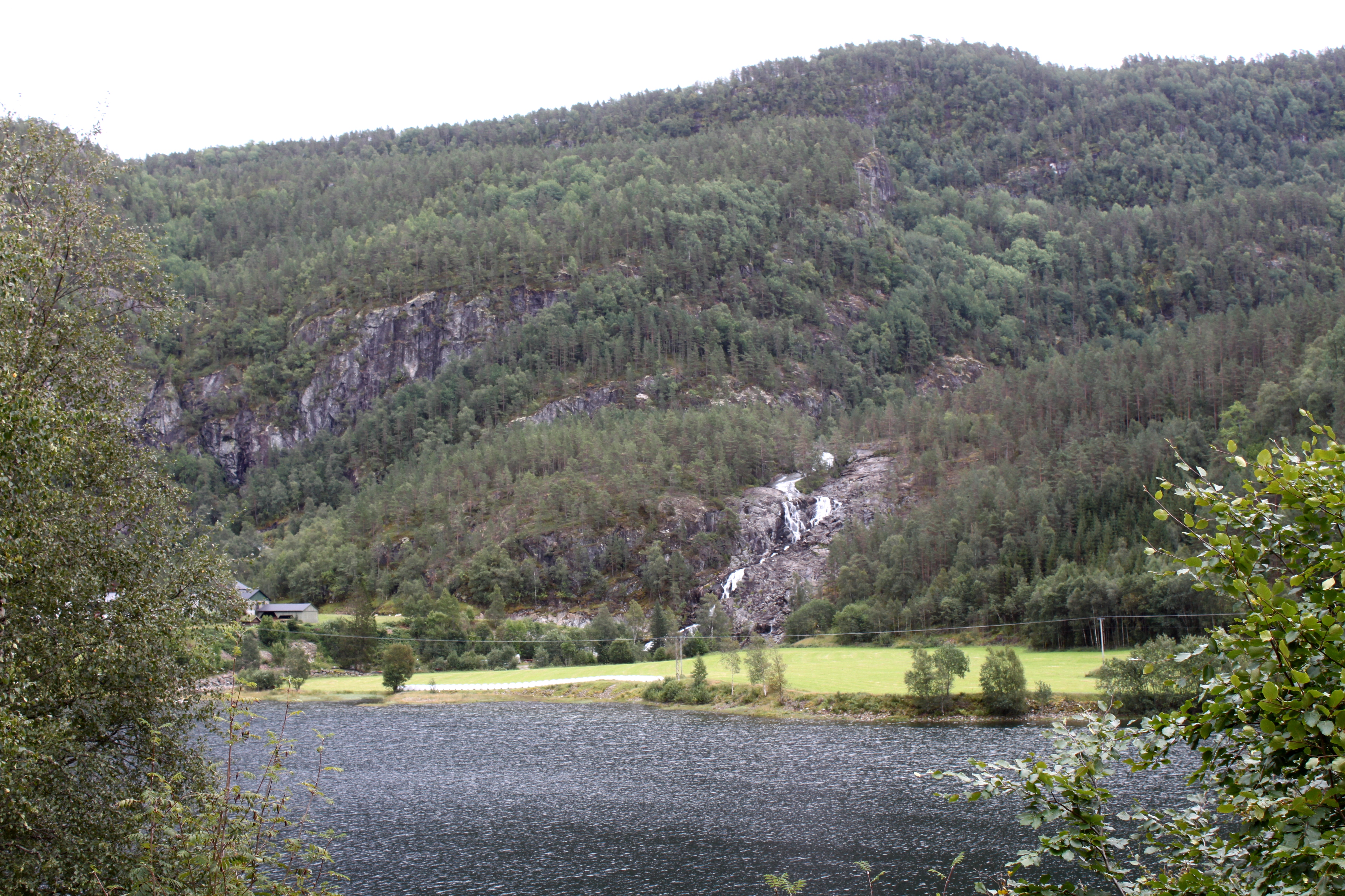
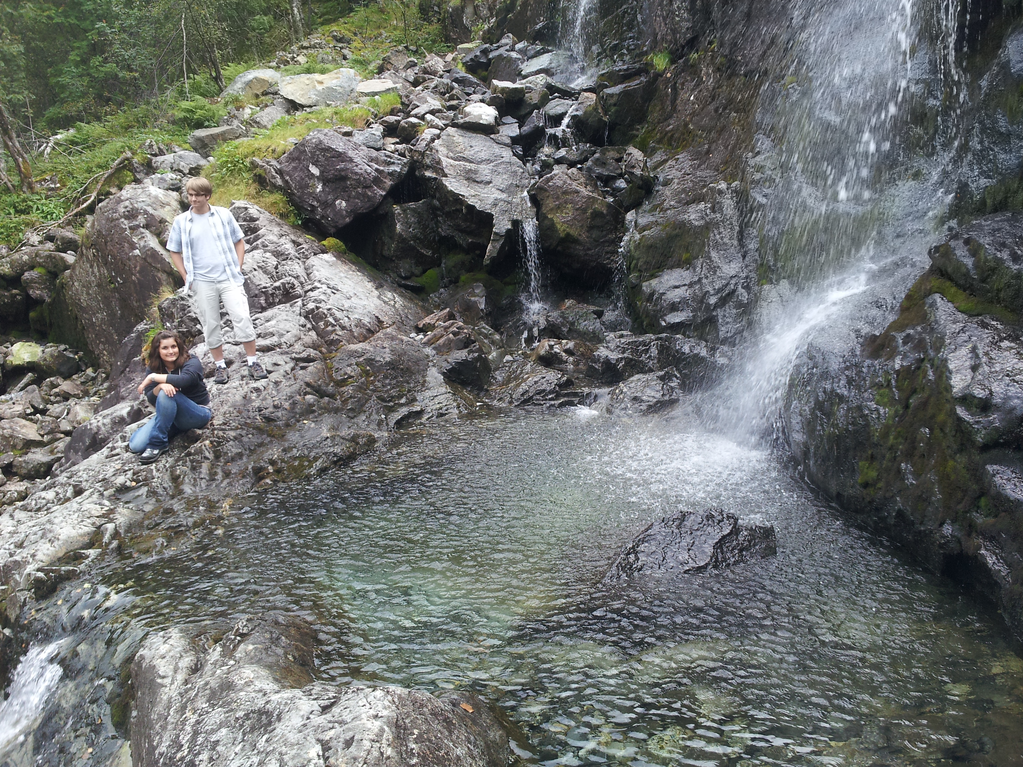
Helganes Waterfall
Nesflaten 5
Topographic Map of Suldal, Norway
Find elevation by address:

Places in Suldal, Norway:
Places near Suldal, Norway:
Hjelmeland
Fjæra
Trolltunga
Røldalsvegen 43, Odda, Norway
Odda
Freim
Odda
Buarbreen
Folgefonna Nasjonalpark
Folgefonna
Fv 30, Årdal i Ryfylke, Norway
Folgefonna National Park
Rv 30, Mauranger, Norway
Fv 10, Hebnes, Norway
Bondhus
Rv, Mauranger, Norway
Lofthus
Fv, Hjelmeland, Norway
Fv 40, Jondal, Norway
Jondal
Recent Searches:
- Elevation of Jadagoniai, Kaunas District Municipality, Lithuania
- Elevation of Pagonija rock, Kranto 7-oji g. 8"N, Kaunas, Lithuania
- Elevation of Co Rd 87, Jamestown, CO, USA
- Elevation of Tenjo, Cundinamarca, Colombia
- Elevation of Côte-des-Neiges, Montreal, QC H4A 3J6, Canada
- Elevation of Bobcat Dr, Helena, MT, USA
- Elevation of Zu den Ihlowbergen, Althüttendorf, Germany
- Elevation of Badaber, Peshawar, Khyber Pakhtunkhwa, Pakistan
- Elevation of SE Heron Loop, Lincoln City, OR, USA
- Elevation of Slanický ostrov, 01 Námestovo, Slovakia