Elevation of Sugartown Road, Sugartown Rd, Great Valley, NY, USA
Location: United States > New York > Cattaraugus County > Great Valley >
Longitude: -78.607047
Latitude: 42.2409891
Elevation: 470m / 1542feet
Barometric Pressure: 96KPa
Elevation Map:
Satellite Map:
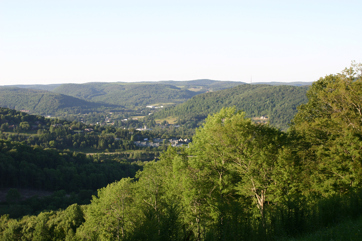
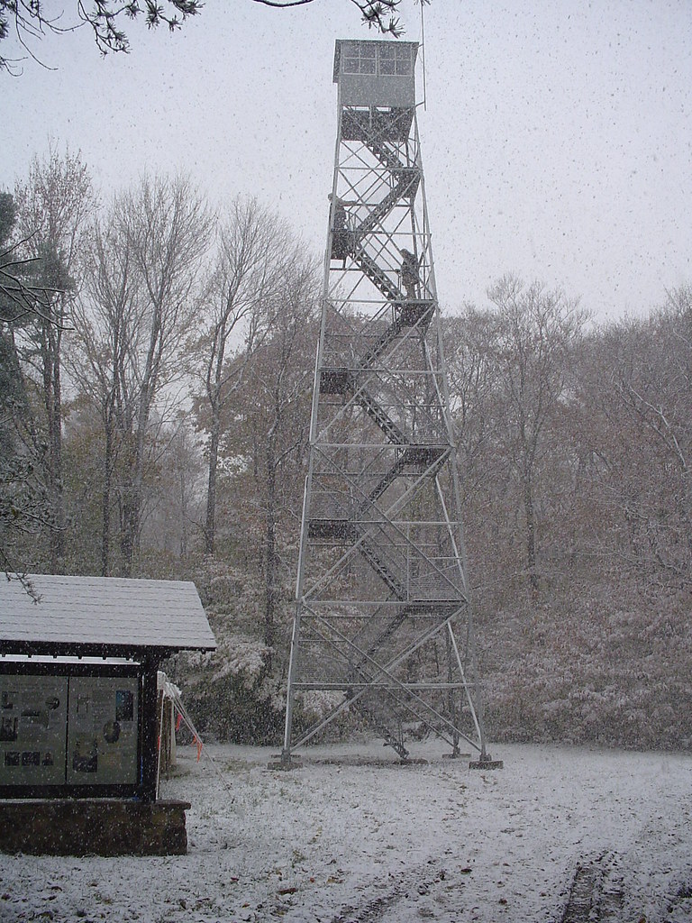
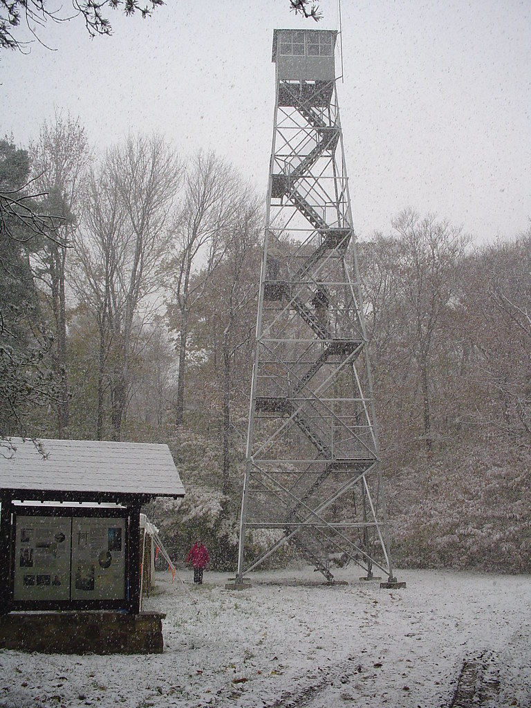
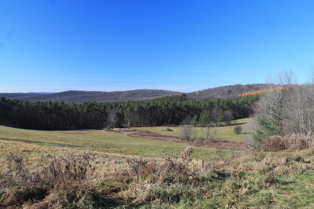
Related Photos:

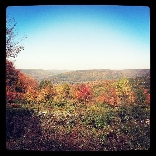
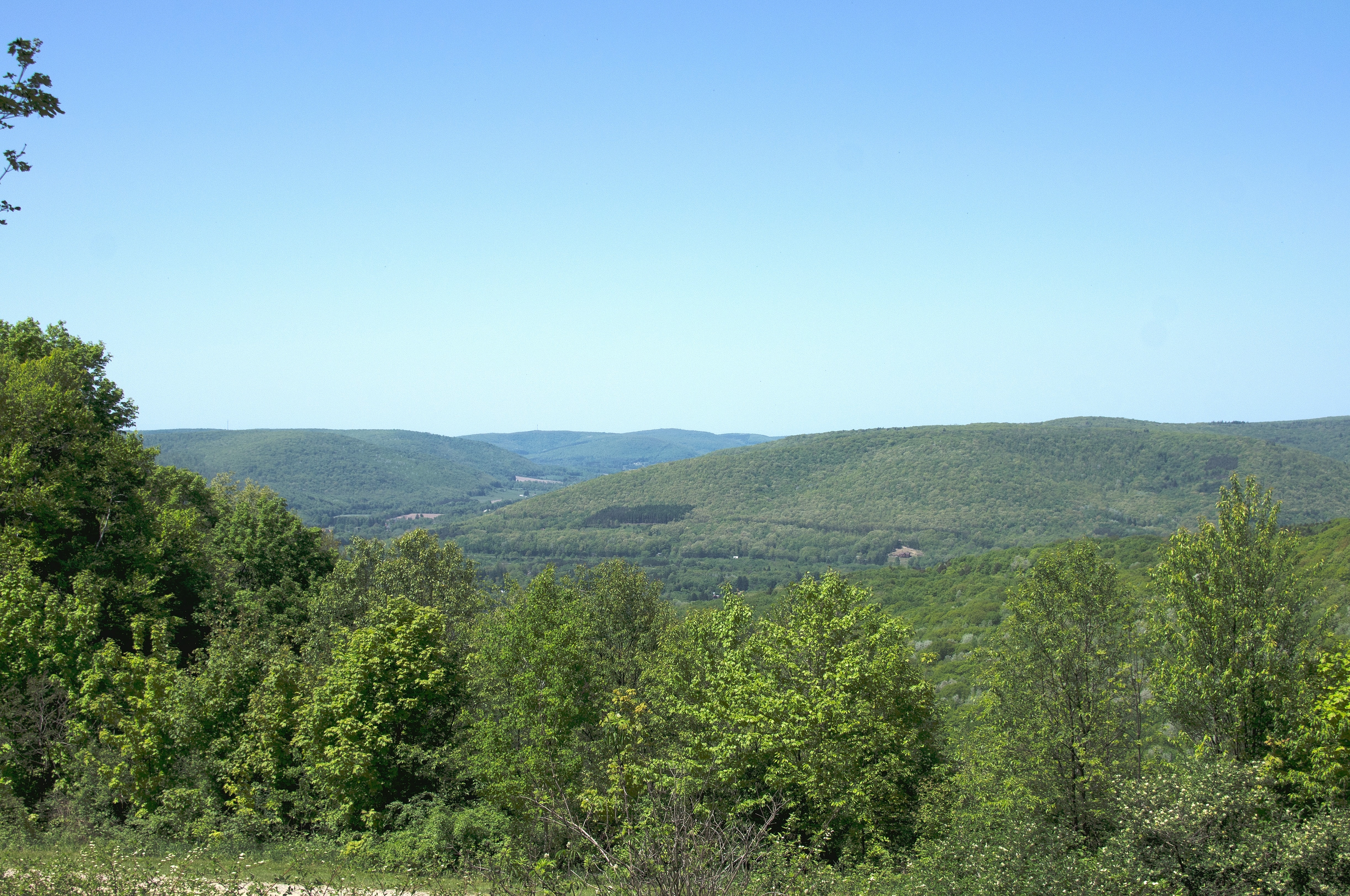
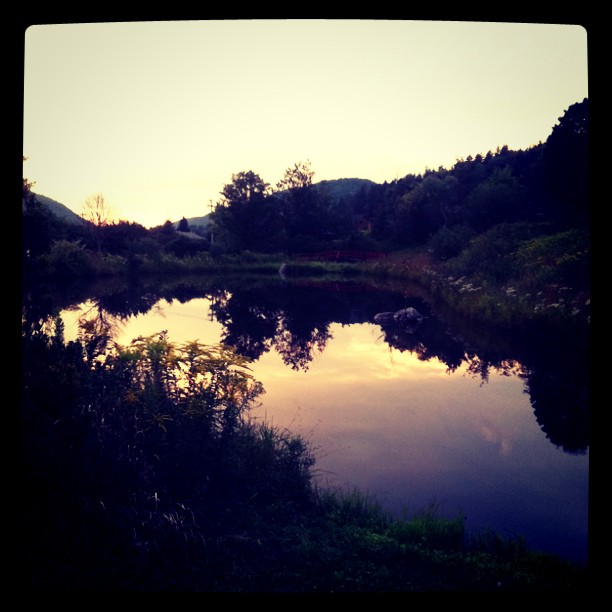
Checking out the view
Stone Tower View
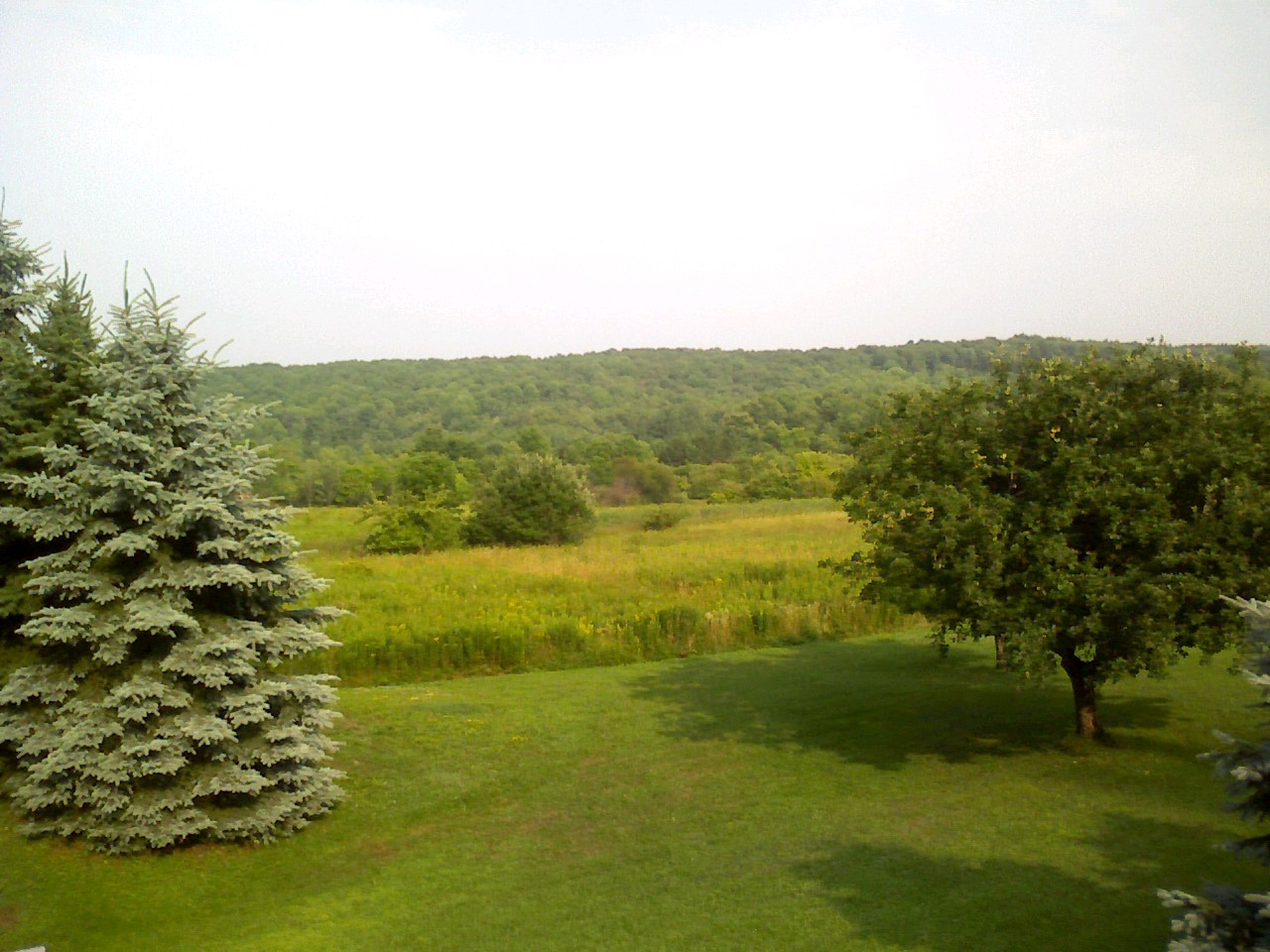
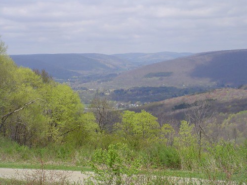
Franklinville view from the front deck.

View from Atop the City
Penthouse View

View from Stone Observation Tower
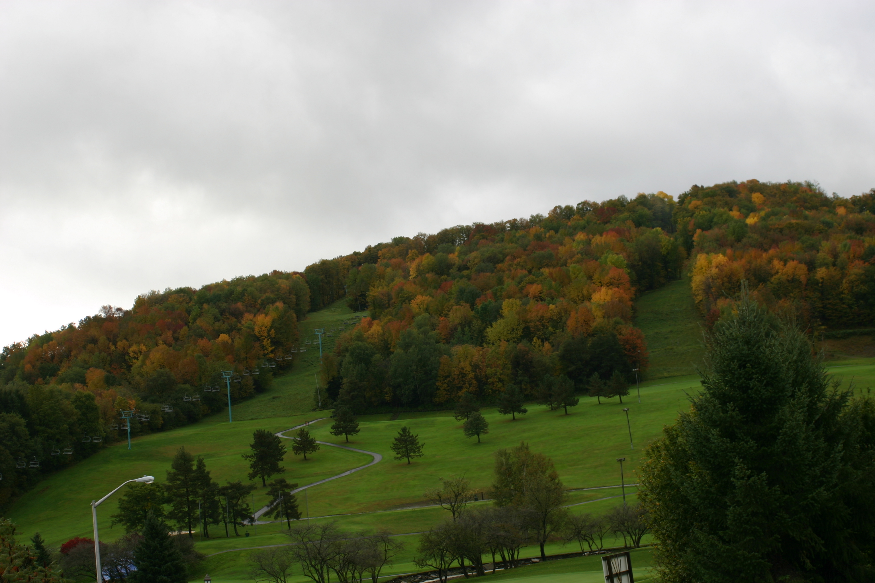
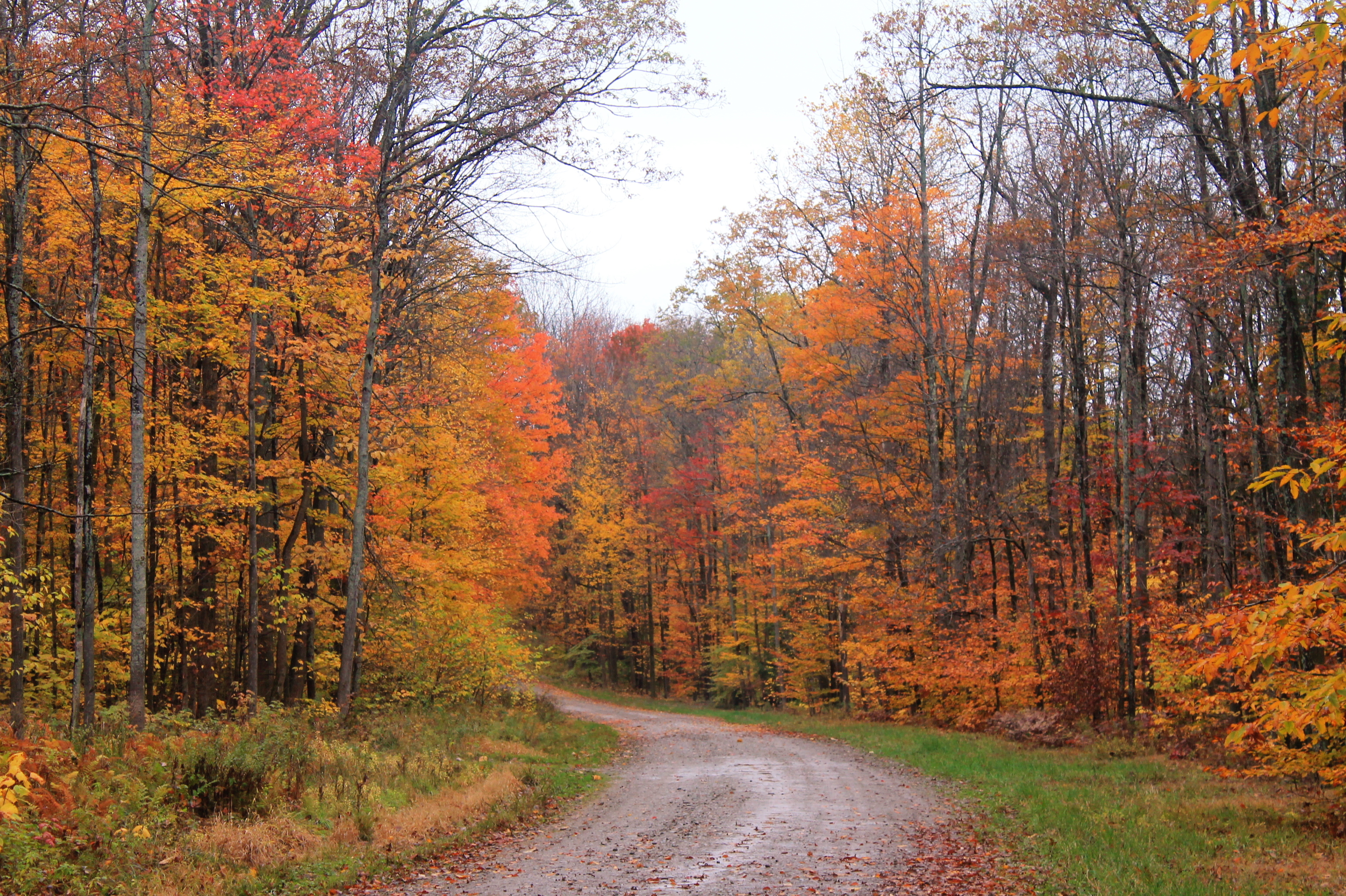
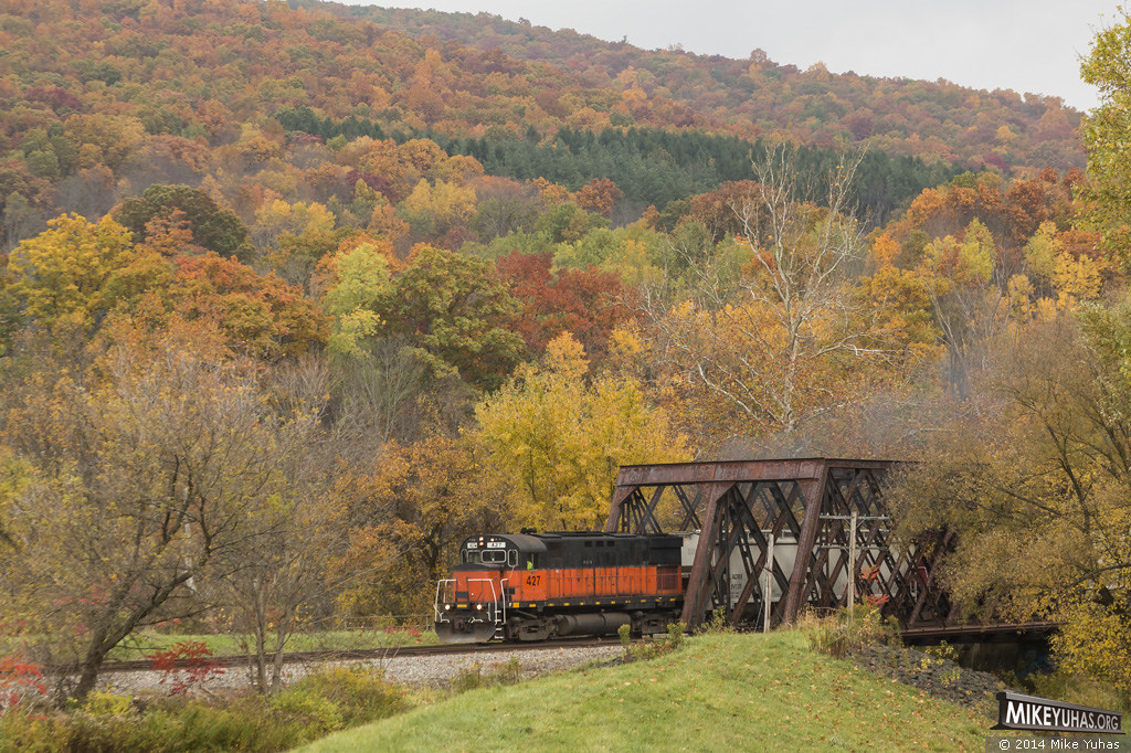
View of the slopes - Autumn
A view from the slopes - 1

"Hey mister, take our picture!"
Summit Firetower 1014/06

Behind The Bar View
Summit Firetower
View Near Summit Trail Camp

WNYP 630 Schoolhouse Road
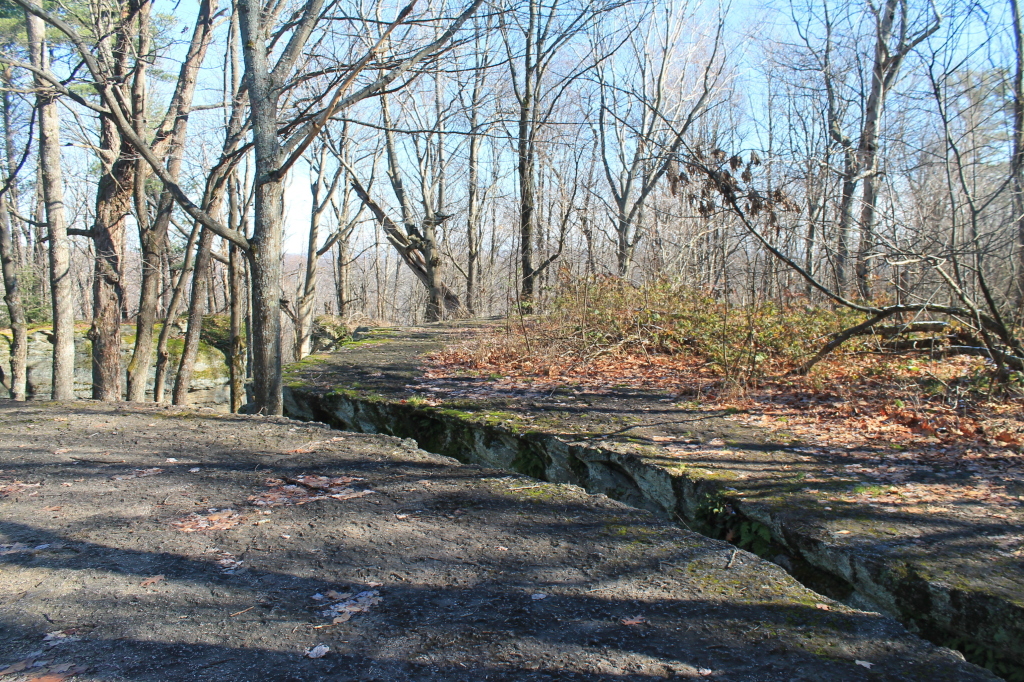
View from Stone Tower
View From Stone Tower
Little Rock City Road
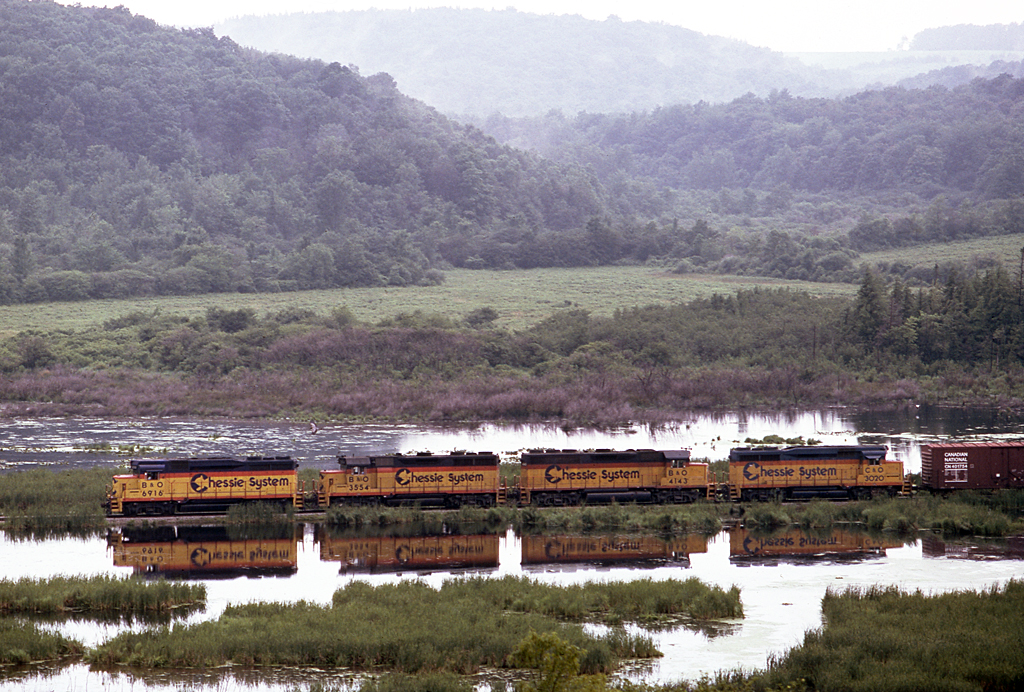
The Cat in Bird Swamp
Nannen Pond
Allegany Reservation

Lake sculpture

SDIM0386.jpg
Winter blue sky
Took a ride to an October Festival and caught some nice pics.
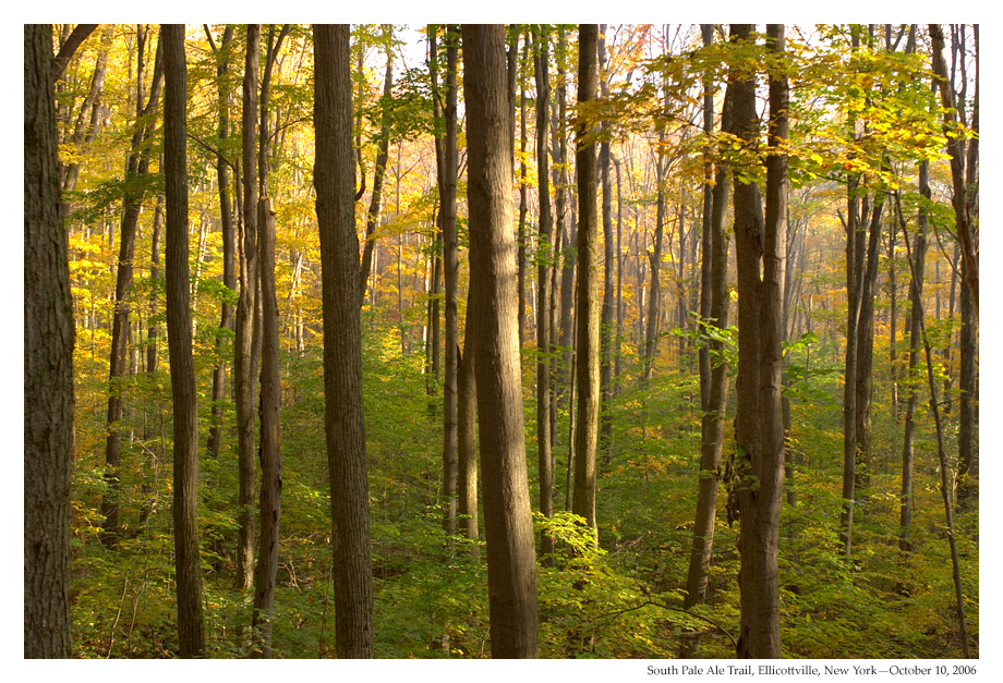
Pale Ale Trail, Ellicottville, NY

Final Sunset
DSCF0101.JPG

Andrew and Joshua Hike with Papa Jimmy
DSCF0108.JPG

OLYMPUS DIGITAL CAMERA
All Packed Up

Hungry Hollow Road

I-86 Westbound Near Allegany State Park, New York

Allegany state park Pennsylvania
Topographic Map of Sugartown Road, Sugartown Rd, Great Valley, NY, USA
Find elevation by address:

Places near Sugartown Road, Sugartown Rd, Great Valley, NY, USA:
NY-98, Great Valley, NY, USA
5437 Burleson Rd
Great Valley
Christian Hollow Rd, Great Valley, NY, USA
Great Valley
6221 Whitmer Rd
112 Wildflower
66 Wildflower
Humphrey
Holiday Valley Resort
Holiday Valley Road
5 Monroe St
Ellicottville
12 W Washington St
Ellicottville
4114 Kenyon Rd
24 Holimont Ave
6835 Springs Rd
4441 Bryant Hill Rd
6410 Saunders Rd
Recent Searches:
- Elevation of Congressional Dr, Stevensville, MD, USA
- Elevation of Bellview Rd, McLean, VA, USA
- Elevation of Stage Island Rd, Chatham, MA, USA
- Elevation of Shibuya Scramble Crossing, 21 Udagawacho, Shibuya City, Tokyo -, Japan
- Elevation of Jadagoniai, Kaunas District Municipality, Lithuania
- Elevation of Pagonija rock, Kranto 7-oji g. 8"N, Kaunas, Lithuania
- Elevation of Co Rd 87, Jamestown, CO, USA
- Elevation of Tenjo, Cundinamarca, Colombia
- Elevation of Côte-des-Neiges, Montreal, QC H4A 3J6, Canada
- Elevation of Bobcat Dr, Helena, MT, USA