Elevation of Sugarloaf Peak, Colorado, USA
Location: United States > Colorado > Idaho Springs >
Longitude: -105.69167
Latitude: 39.6497096
Elevation: 3635m / 11926feet
Barometric Pressure: 65KPa
Elevation Map:
Satellite Map:
Related Photos:
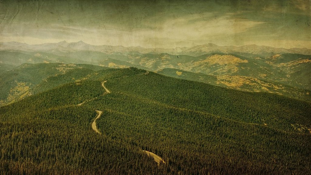
road to gold
Cupid View

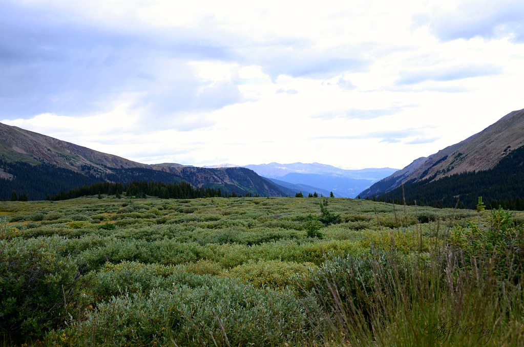
Green & Gold

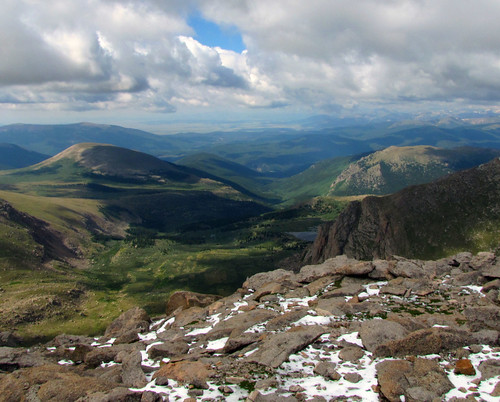
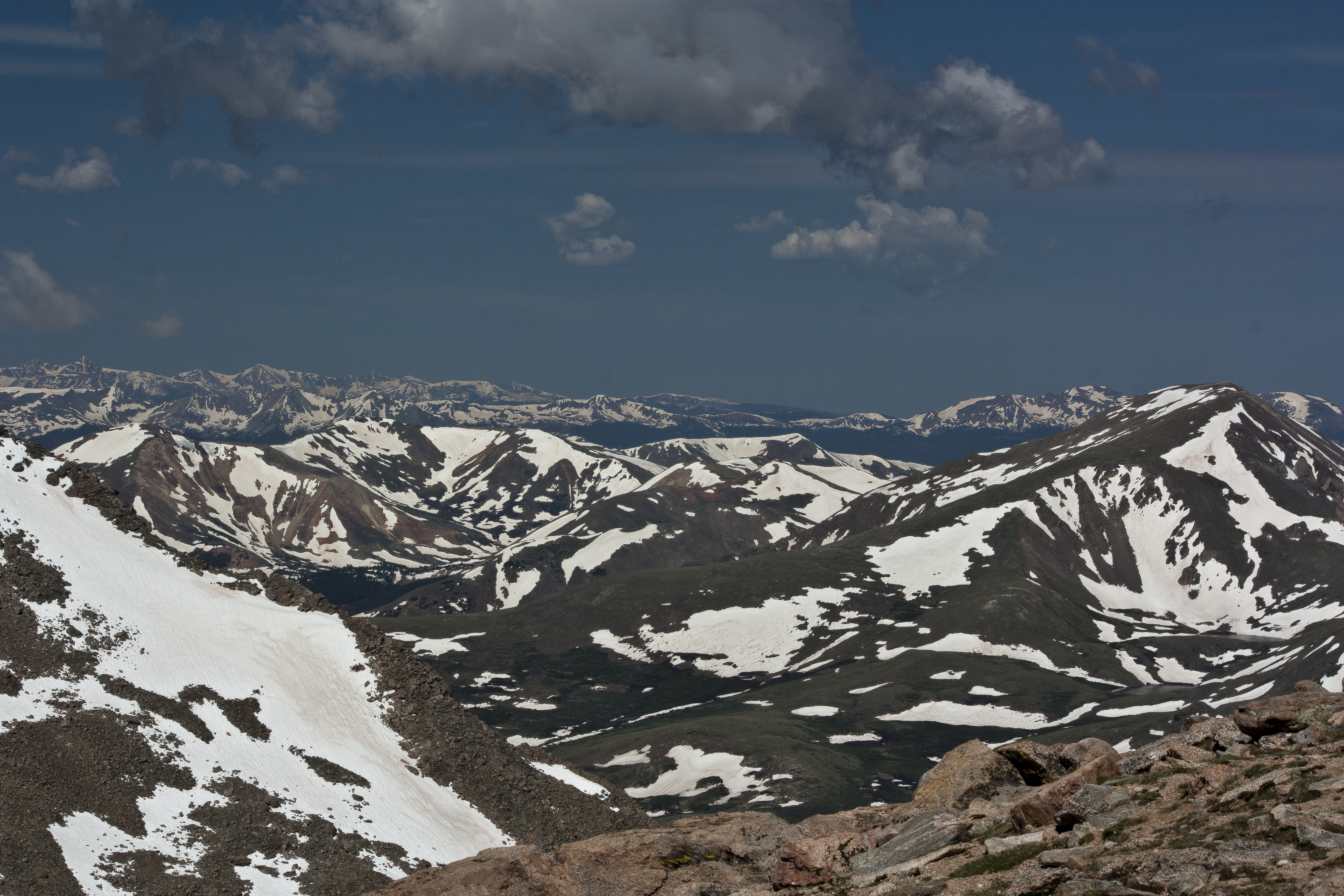
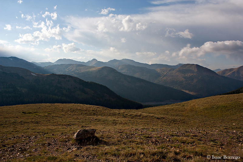
View From Mount Evans

865: Mt Bierstadt w/2013 KTM 690 Enduro R

View from Mt. Goliath Natural Area
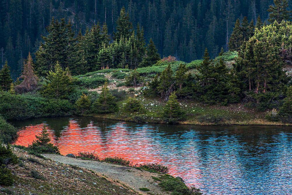
Transitional Colors

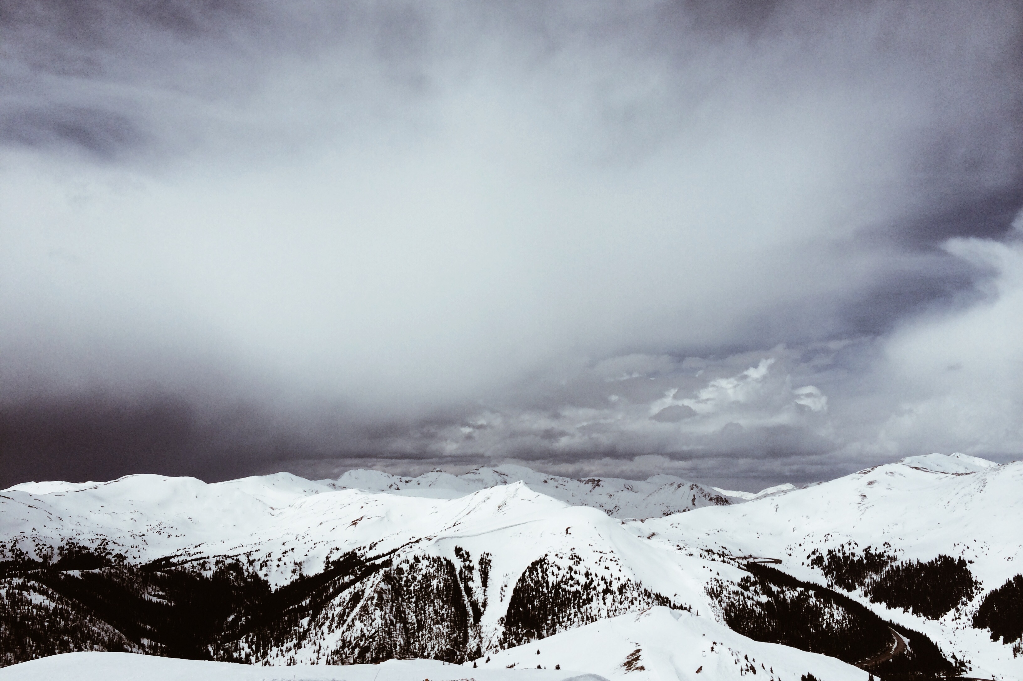
Arapahoe Basin, Colorado
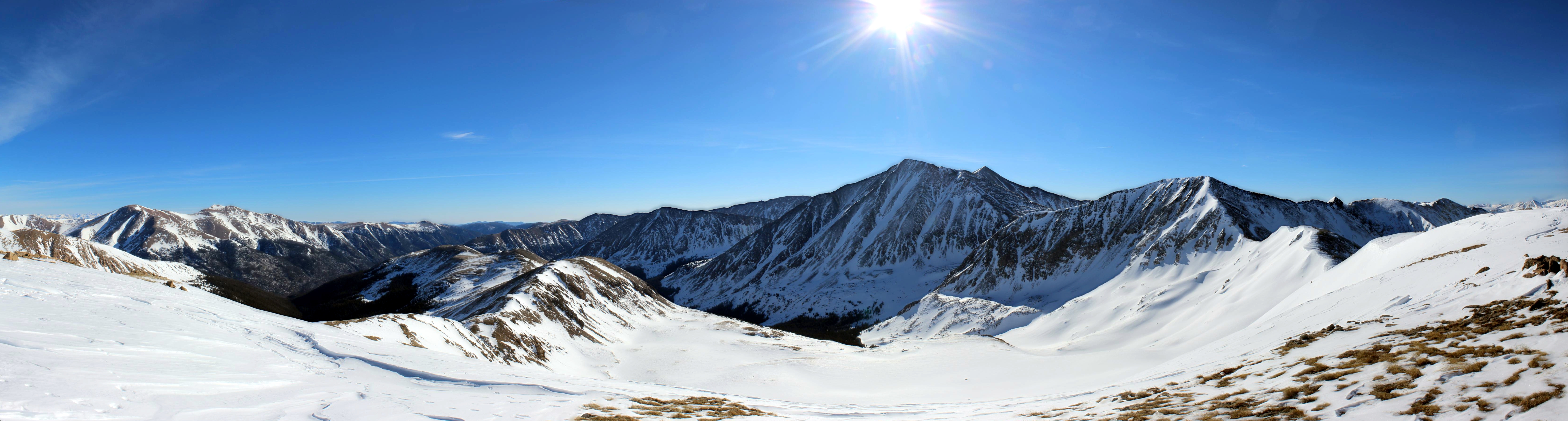
Front Range of the Colorado Rockies
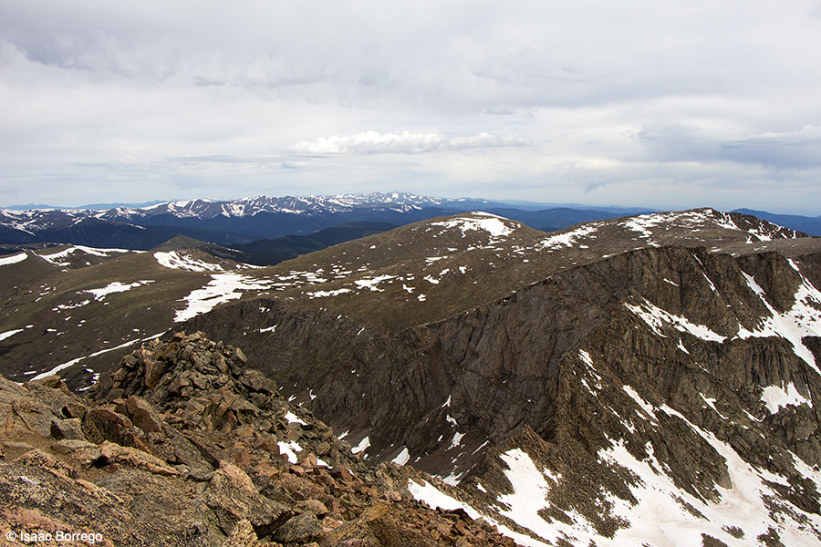
Summit View
a land of hobbits
View from Mt. Evans Co. 14,254 ft. Elev.
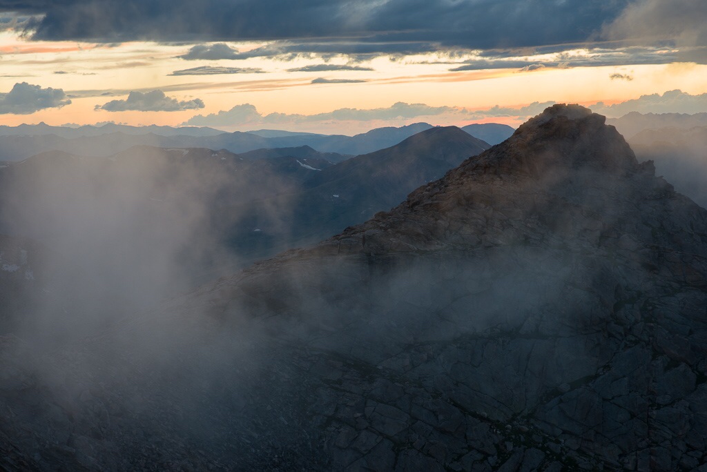
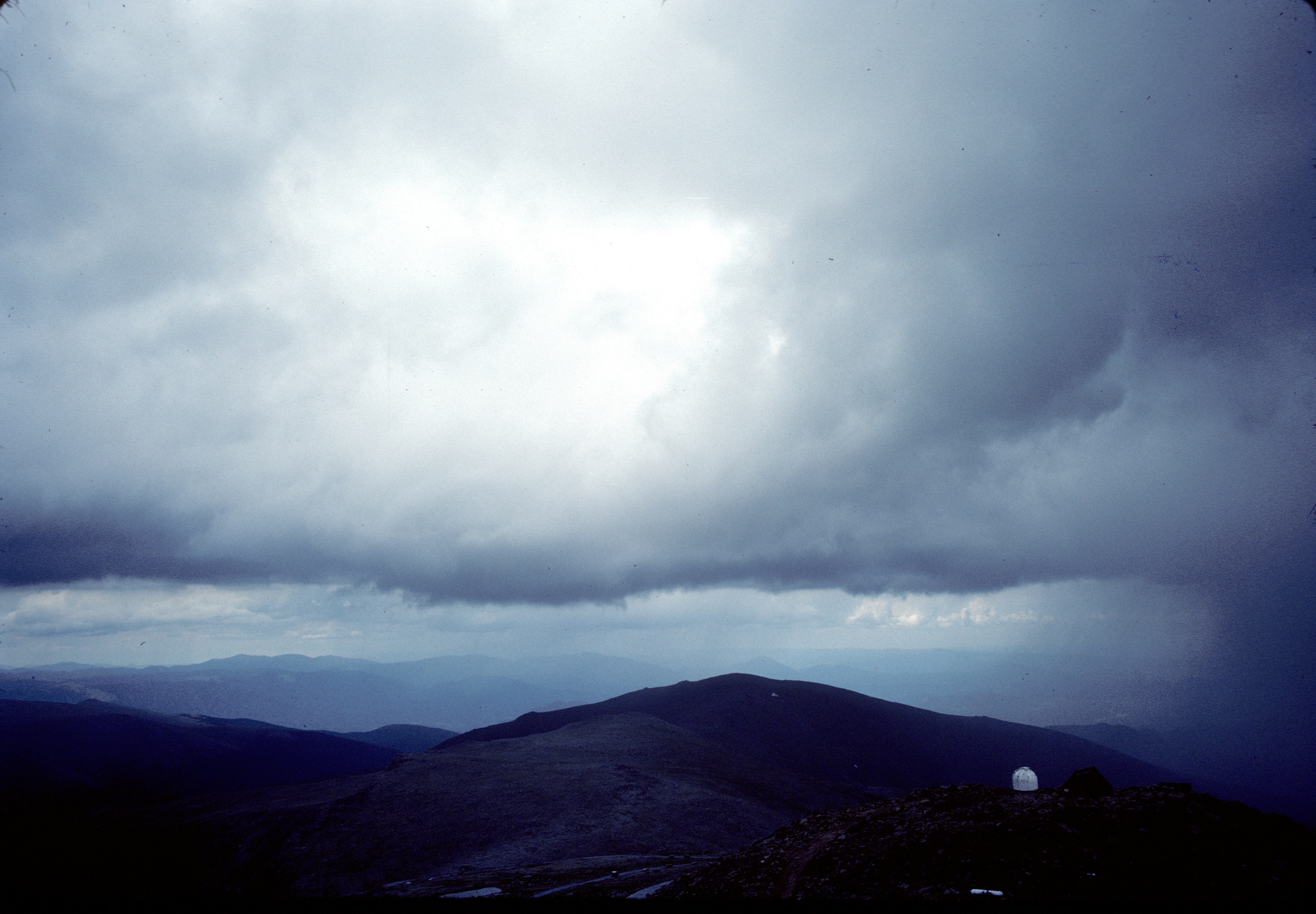
Clouds at Sunset - Mt. Evans Summit, CO
05-17-2014

The View From Mt Evans

Another view of Summit Lake #5280 #colorado #family #coloradocameraclub #home #303magazine #co #coloradotography #coloradogram #coloradofanclub #jj_colorado #colorfulcolorado #unitedstates #america #photooftheday #picoftheday #bestoftheday #instagramers #
View from the Tundra - Loveland Pass, Colorado
View from Bierstadt

Loveland Pass View, Continental Divide, Colorado (DTA_4777)
82-245_Views_from_summit_of_Mt._Evans_Arapaho_National_Forest_Co
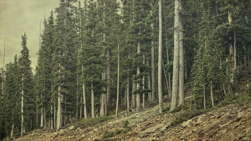
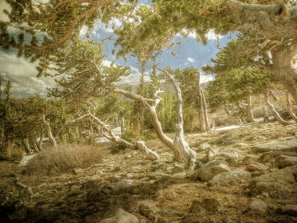
the forest
Topographic Map of Sugarloaf Peak, Colorado, USA
Find elevation by address:

Places near Sugarloaf Peak, Colorado, USA:
Clear Lake Campground
Guanella Pass Road
Guanella Pass Campground
Guanella Pass Road
Guanella Pass Road
Interstate 70
Griffith Mountain
Rose St, Georgetown, CO, USA
Georgetown
Silver Plume
Clear Creek County
Mount Bierstadt
Mount Bierstadt
2500 Major Anderson Dr
8810 W Chicago Creek Rd
Saxon Mountain
Mount Evans
Murray Lake
Square Top Mountain
616 Peaceful Valley Ln
Recent Searches:
- Elevation of Corso Fratelli Cairoli, 35, Macerata MC, Italy
- Elevation of Tallevast Rd, Sarasota, FL, USA
- Elevation of 4th St E, Sonoma, CA, USA
- Elevation of Black Hollow Rd, Pennsdale, PA, USA
- Elevation of Oakland Ave, Williamsport, PA, USA
- Elevation of Pedrógão Grande, Portugal
- Elevation of Klee Dr, Martinsburg, WV, USA
- Elevation of Via Roma, Pieranica CR, Italy
- Elevation of Tavkvetili Mountain, Georgia
- Elevation of Hartfords Bluff Cir, Mt Pleasant, SC, USA