Elevation of Sugarloaf Mountain, California, USA
Location: United States > California > San Bernardino County > Big Bear >
Longitude: -116.81447
Latitude: 34.1988978
Elevation: 2910m / 9547feet
Barometric Pressure: 71KPa
Elevation Map:
Satellite Map:
Related Photos:
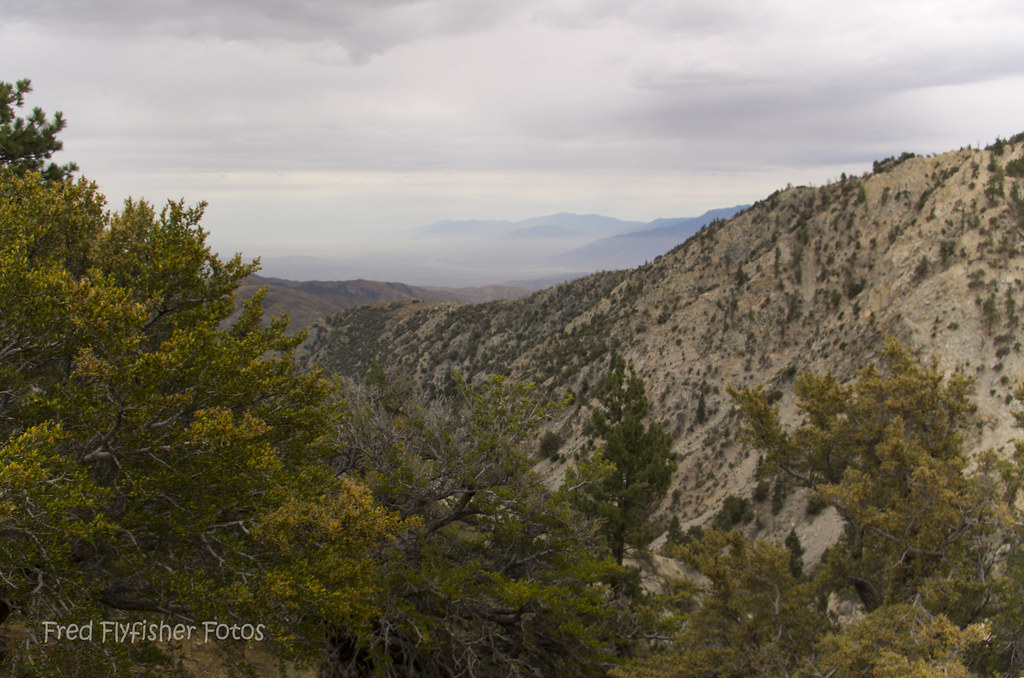
Hidden Trail

Gold Rush - Big Bear Lake, California

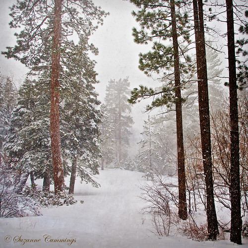
Winter Paradise Landscape

Big Falls Stream - Forest Falls, CA, USA
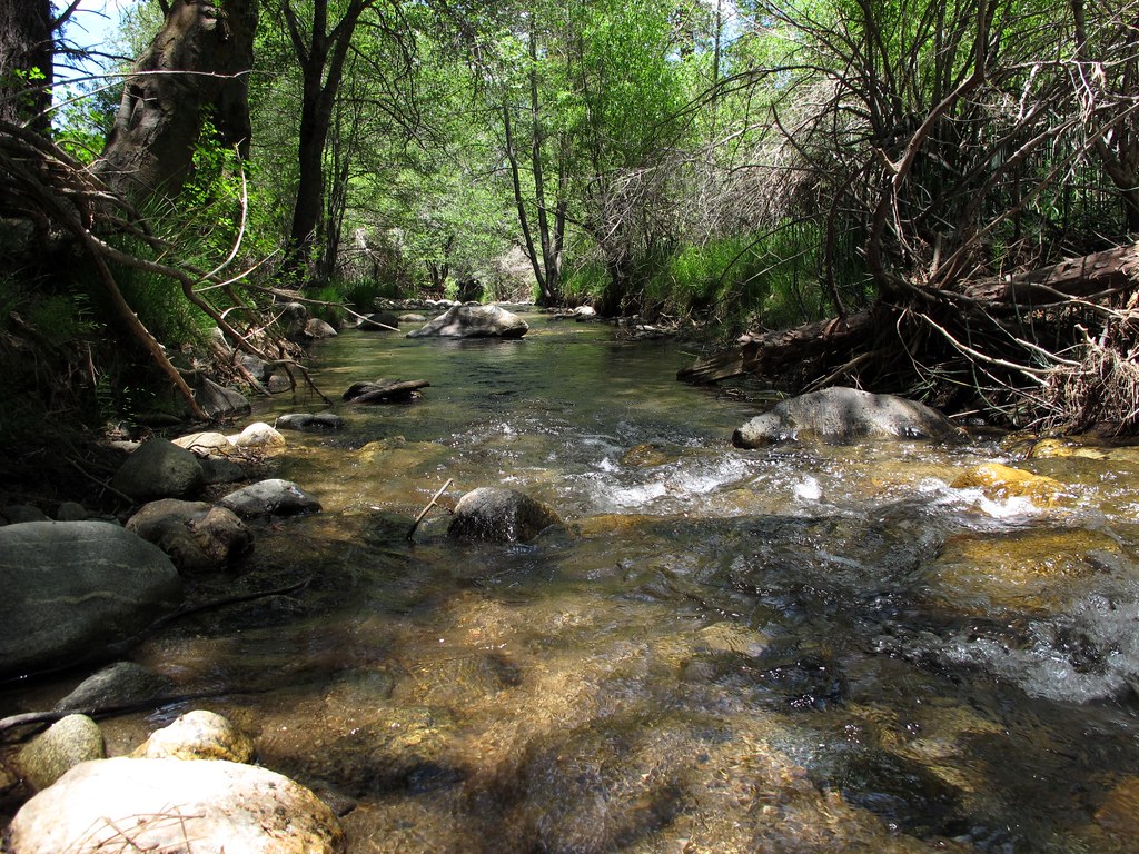
Mountain Stream
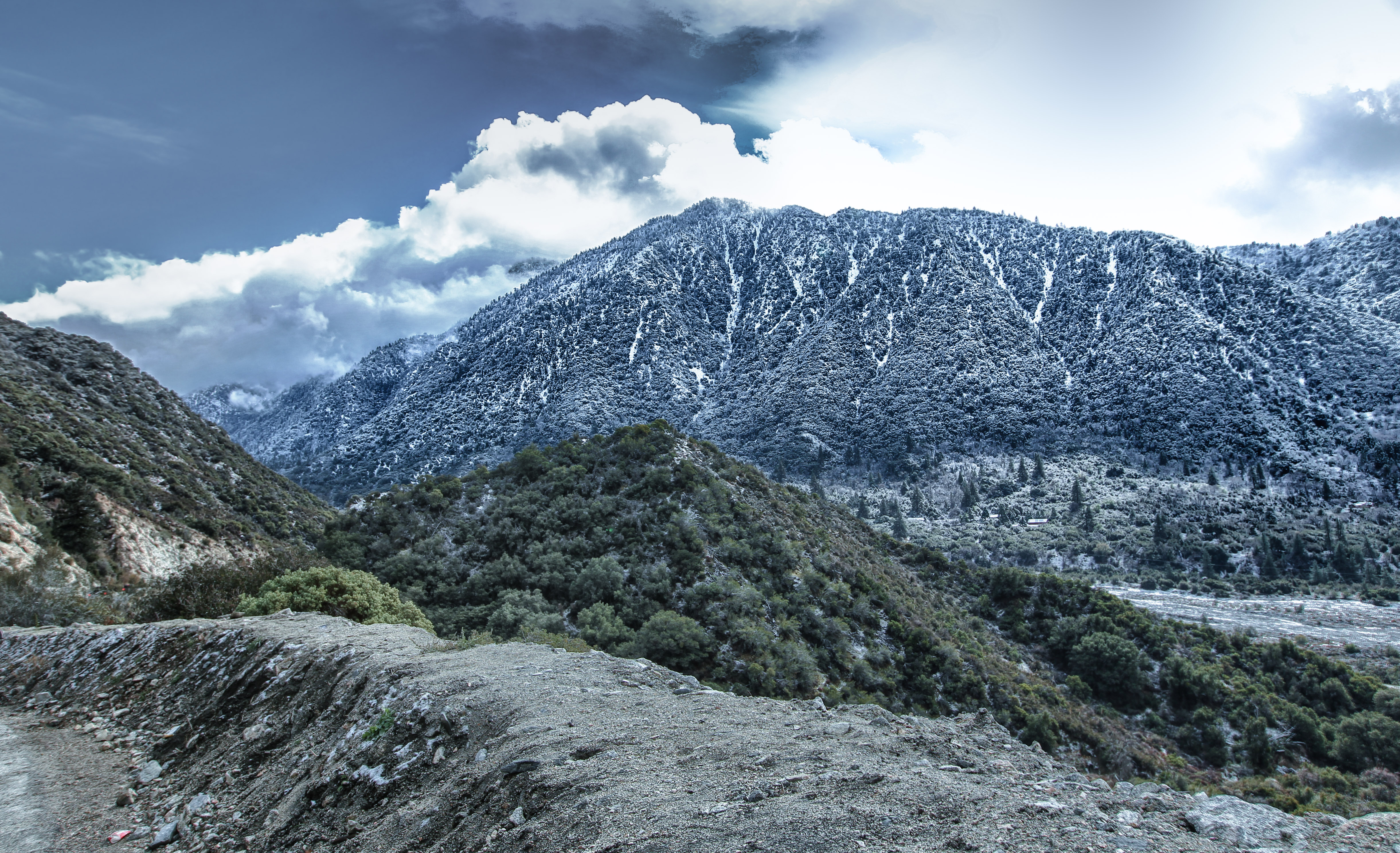
Winter Mountain Landscape

Big Falls Creek Long Exposure
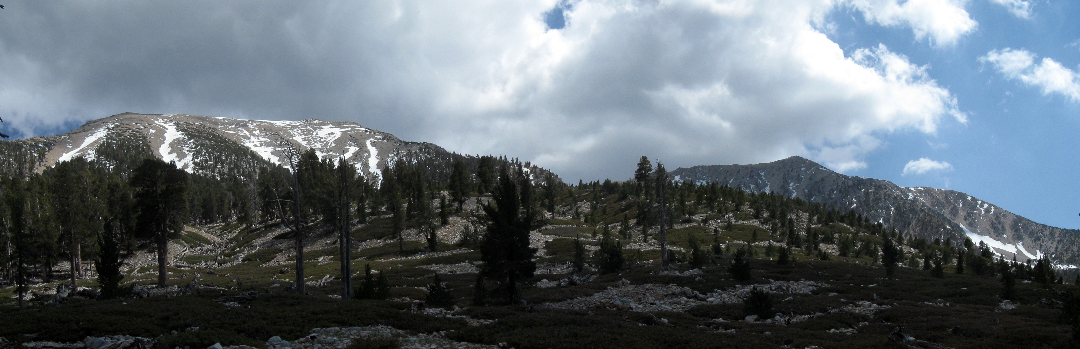
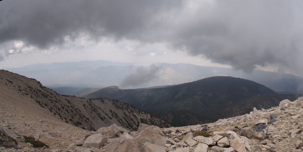
San Gorgonio panorama
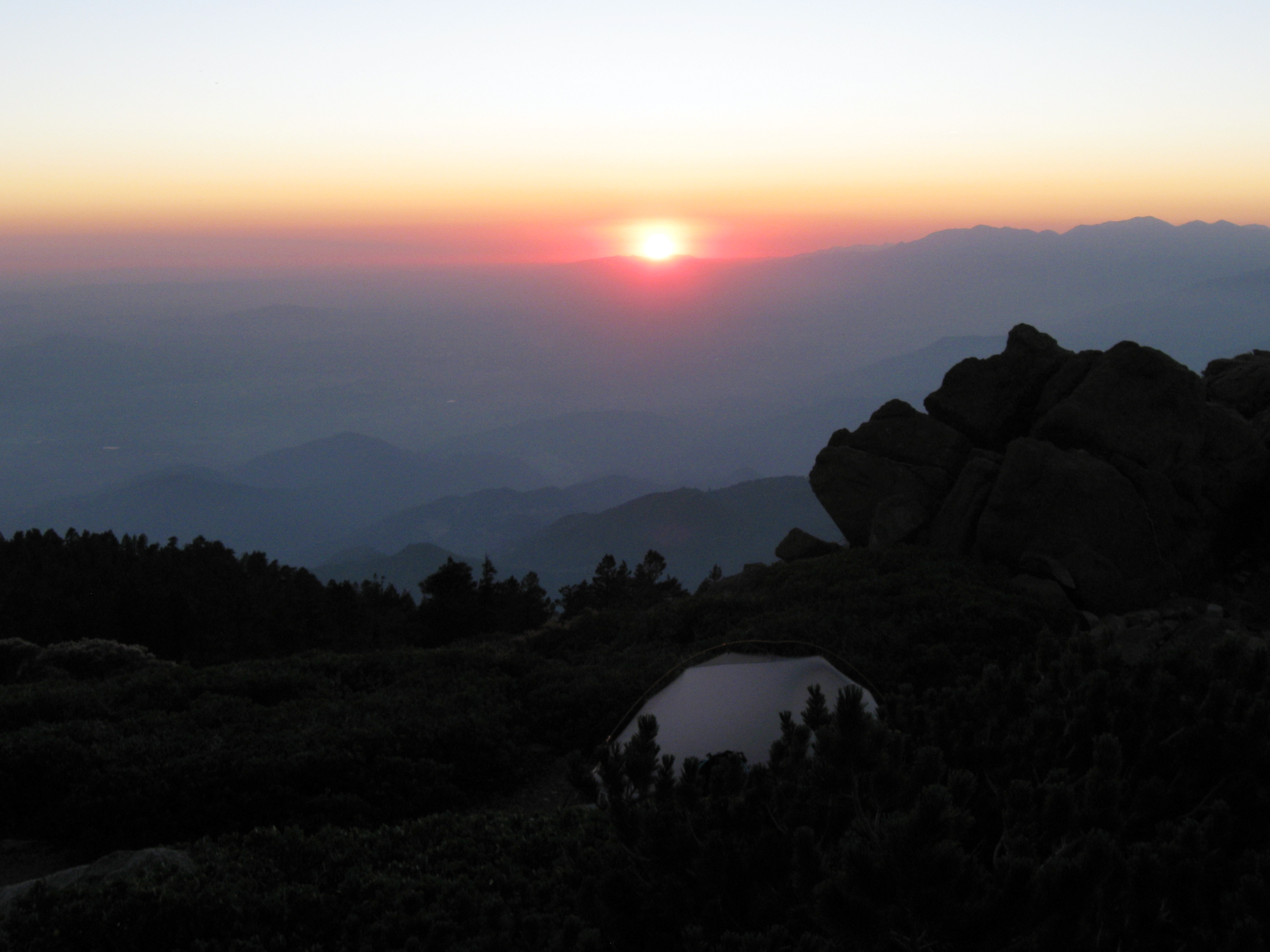
Sunset from Limber Pine Bench
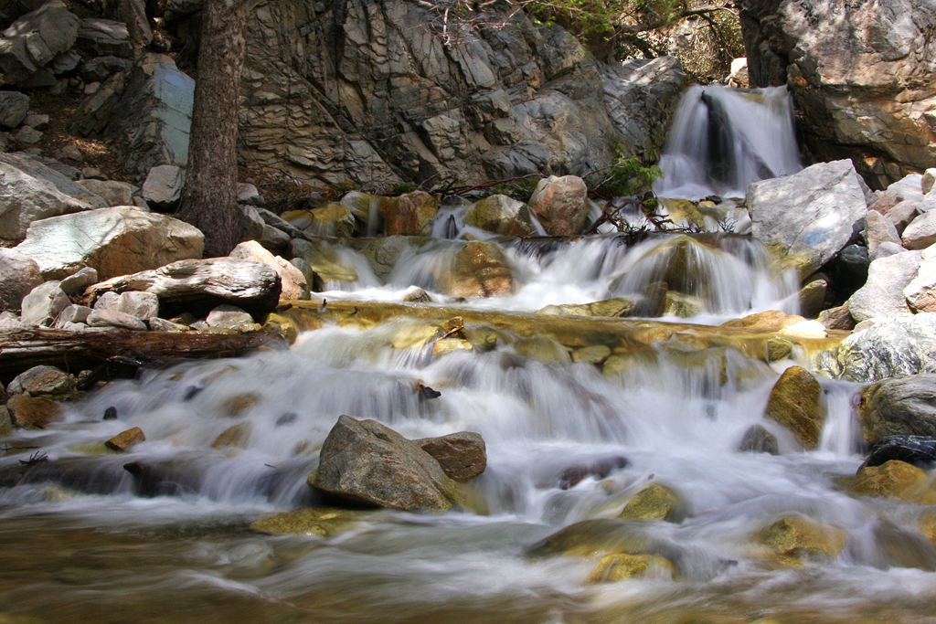
Big Falls Cascading Creek

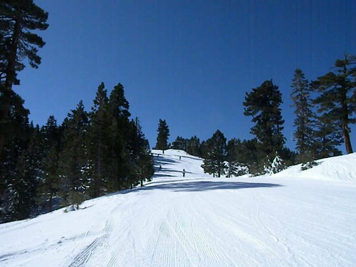
View from Snow Summit Chairlift
20120712_San Bernardino Mountains_0019
20120712_San Bernardino Mountains_0011

Ranges of the San Bernardinos - San Bernardino Peak and flanks of San Gorgonio
20120712_San Bernardino Mountains_0023
0662 View north-northeast from the summit of San Gorgonio Mountain toward Grinnel Mountain
FOSSIL DUDE RIDES THE BEAR- #1

Grand View Point

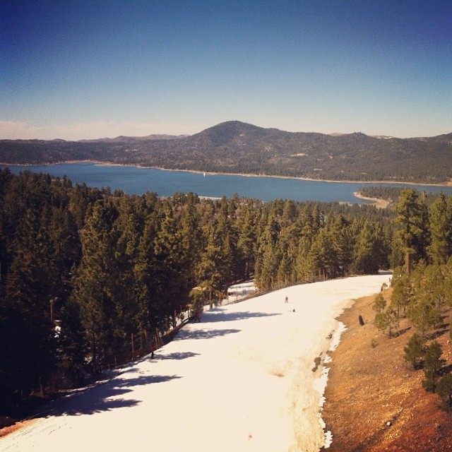
Big Bear Lake from Mine Site
The view from the chairlift. #bigbear #snowsummit

2010-06-10 004
Topographic Map of Sugarloaf Mountain, California, USA
Find elevation by address:

Places near Sugarloaf Mountain, California, USA:
1788 Angels Camp Rd
43889 Yosemite Dr
1065 Pine Ln
2157 State Ln
Barton Ln N, Big Bear, CA, USA
Sugarloaf
433 Holmes Ln
Ridgecrest Drive
1098 Teton Dr
1065 G Ln
2670 La Crescenta Dr
1377 Lassen Dr
43427 Ridgecrest Dr
43475 Sheephorn Rd
Barton Flats
Bear Mountain Ski Resort
377 Cavern Dr
1217 Minton Ave
1450 E Big Bear Blvd
43041 Encino Rd
Recent Searches:
- Elevation of Corso Fratelli Cairoli, 35, Macerata MC, Italy
- Elevation of Tallevast Rd, Sarasota, FL, USA
- Elevation of 4th St E, Sonoma, CA, USA
- Elevation of Black Hollow Rd, Pennsdale, PA, USA
- Elevation of Oakland Ave, Williamsport, PA, USA
- Elevation of Pedrógão Grande, Portugal
- Elevation of Klee Dr, Martinsburg, WV, USA
- Elevation of Via Roma, Pieranica CR, Italy
- Elevation of Tavkvetili Mountain, Georgia
- Elevation of Hartfords Bluff Cir, Mt Pleasant, SC, USA