Elevation map of Sud, Haiti
Location: Haiti >
Longitude: -73.700708
Latitude: 18.3320005
Elevation: 208m / 682feet
Barometric Pressure: 99KPa
Elevation Map:
Satellite Map:
Related Photos:
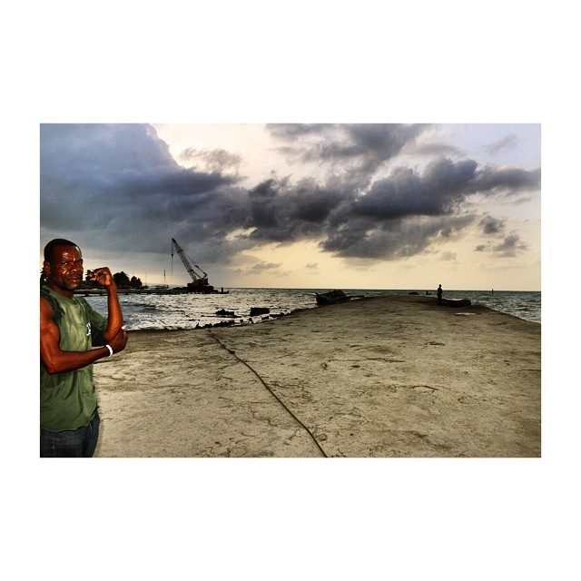
Before the sea gets rough | Aux Cayes | Haiti #ayiti #afterlight #haiti #haitians #humans #people #portrait #ileavache #ocean #port #sea #weather #clouds #fishermen #view #lowlight #rain #mer

View looking north, Route Nationale No. 7, Les Cayes, Sud Department, Haiti 1
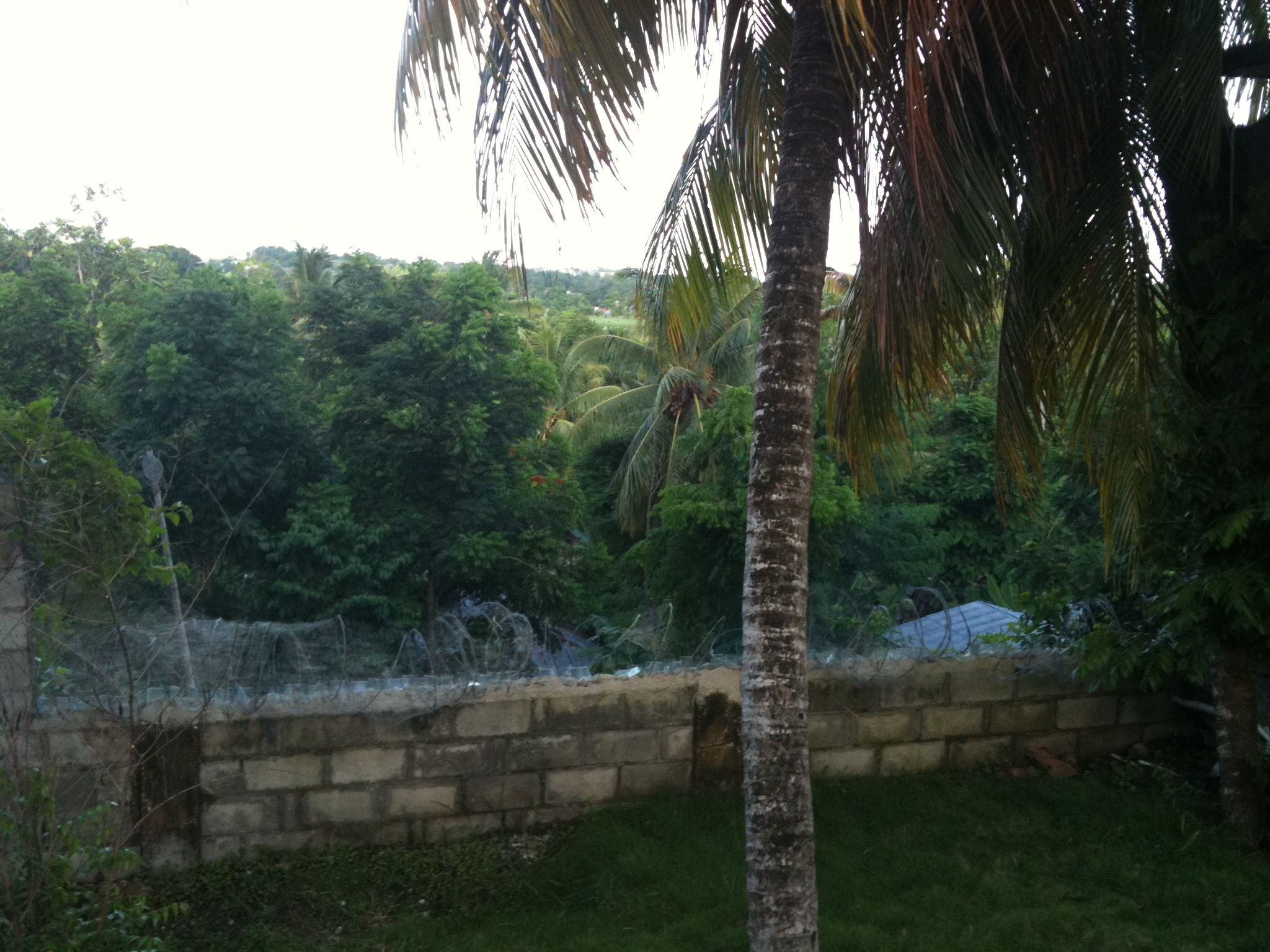
View from guesthouse

Pic Macaya, Massif de la Hotte, From Route Nationale No. 7, Sud Department, Haiti 1
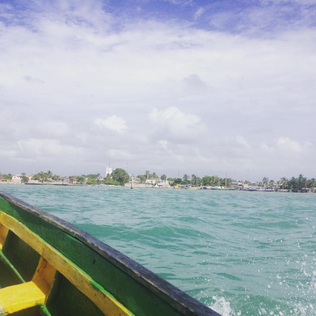
Les Cayes #haiti
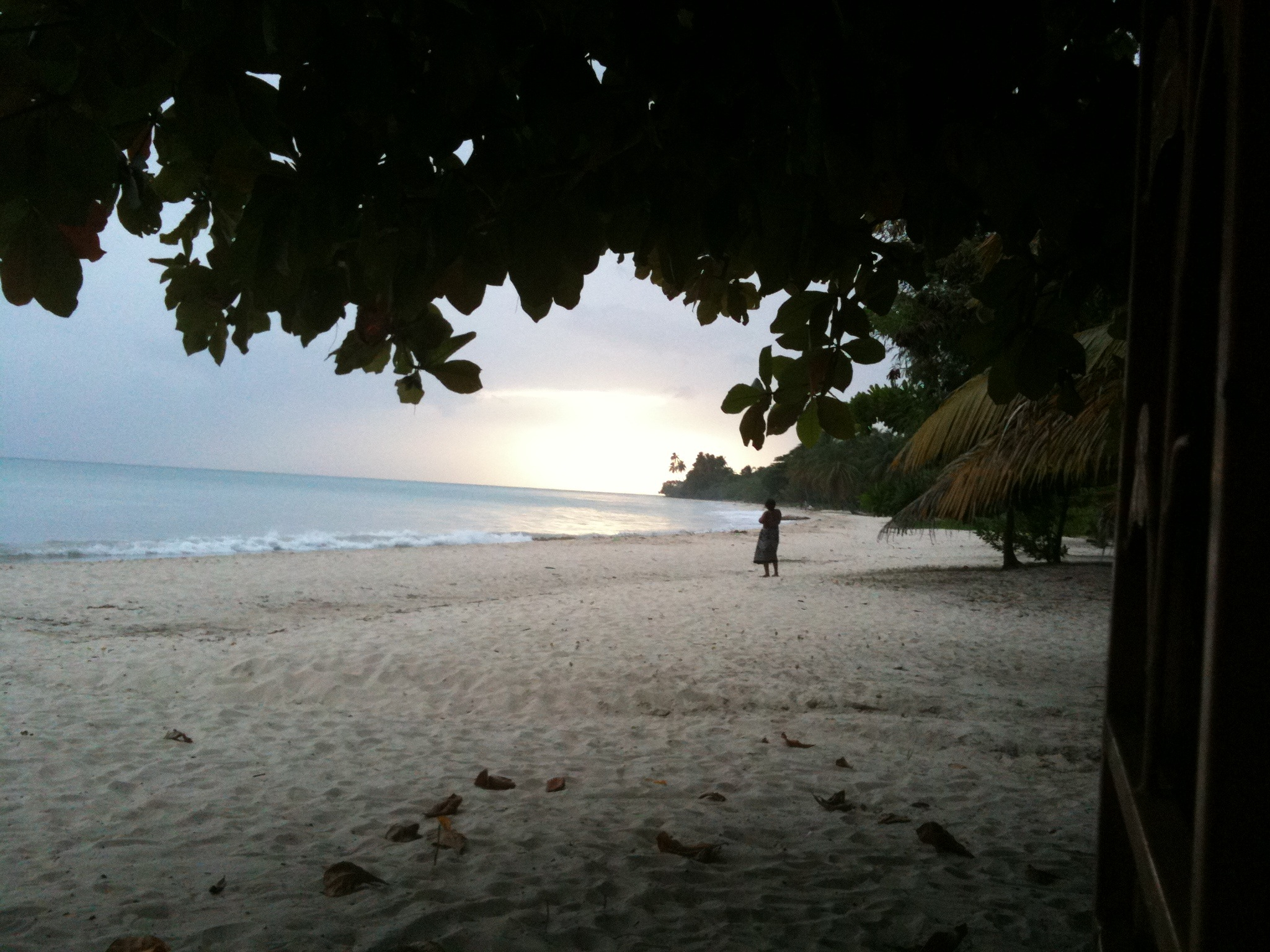
Port Salut

GUEJ_2014-04-10_07-43-22.jpg

GUEJ_2014-04-10_17-25-29.jpg
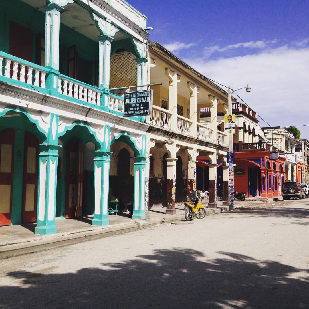
Les Cayes #haiti
Topographic Map of Sud, Haiti
Find elevation by address:

Places in Sud, Haiti:
Places near Sud, Haiti:
Hopital Lumière
Bonne Fin
Plaisance-du-sud
Baraderes
Grand Boucan
Petit-trou-de-nippes
Nippes Department
Grand'anse
Petite-riviere-de-nippes
Recent Searches:
- Elevation of Corso Fratelli Cairoli, 35, Macerata MC, Italy
- Elevation of Tallevast Rd, Sarasota, FL, USA
- Elevation of 4th St E, Sonoma, CA, USA
- Elevation of Black Hollow Rd, Pennsdale, PA, USA
- Elevation of Oakland Ave, Williamsport, PA, USA
- Elevation of Pedrógão Grande, Portugal
- Elevation of Klee Dr, Martinsburg, WV, USA
- Elevation of Via Roma, Pieranica CR, Italy
- Elevation of Tavkvetili Mountain, Georgia
- Elevation of Hartfords Bluff Cir, Mt Pleasant, SC, USA