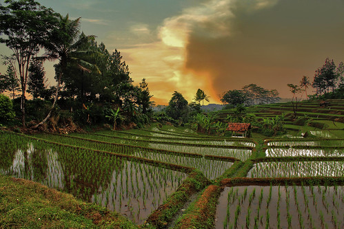
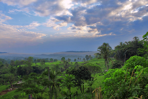
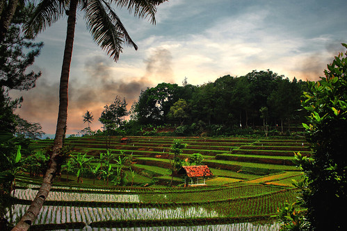
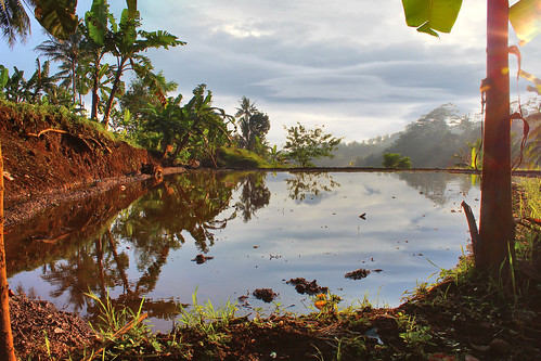
Elevation of Subang, Subang Regency, West Java, Indonesia
Location: Indonesia > West Java > Subang Regency >
Longitude: 107.751777
Latitude: -6.5636556
Elevation: 91m / 299feet
Barometric Pressure: 100KPa
Related Photos:
Topographic Map of Subang, Subang Regency, West Java, Indonesia
Find elevation by address:

Places in Subang, Subang Regency, West Java, Indonesia:
Places near Subang, Subang Regency, West Java, Indonesia:
Subang
Pagaden
Km 97
Jalancagak
Marengmang
Kalijati
Bantarwaru
Gantar
Subang Regency
Haurgeulis
Buahdua
Wanayasa
Ciasem
Jalan Raya Tangkuban Parahu
Tangkuban Perahu
Cikole
Jayamulya
Nagrak
Jl. Raya Tangkuban Parahu No.517
Lembang
Recent Searches:
- Elevation of Lampiasi St, Sarasota, FL, USA
- Elevation of Elwyn Dr, Roanoke Rapids, NC, USA
- Elevation of Congressional Dr, Stevensville, MD, USA
- Elevation of Bellview Rd, McLean, VA, USA
- Elevation of Stage Island Rd, Chatham, MA, USA
- Elevation of Shibuya Scramble Crossing, 21 Udagawacho, Shibuya City, Tokyo -, Japan
- Elevation of Jadagoniai, Kaunas District Municipality, Lithuania
- Elevation of Pagonija rock, Kranto 7-oji g. 8"N, Kaunas, Lithuania
- Elevation of Co Rd 87, Jamestown, CO, USA
- Elevation of Tenjo, Cundinamarca, Colombia


