Elevation of Sturgeon Lake Township, MN, USA
Location: United States > Minnesota > Pine County >
Longitude: -92.898059
Latitude: 46.3834667
Elevation: 361m / 1184feet
Barometric Pressure: 97KPa
Elevation Map:
Satellite Map:
Related Photos:
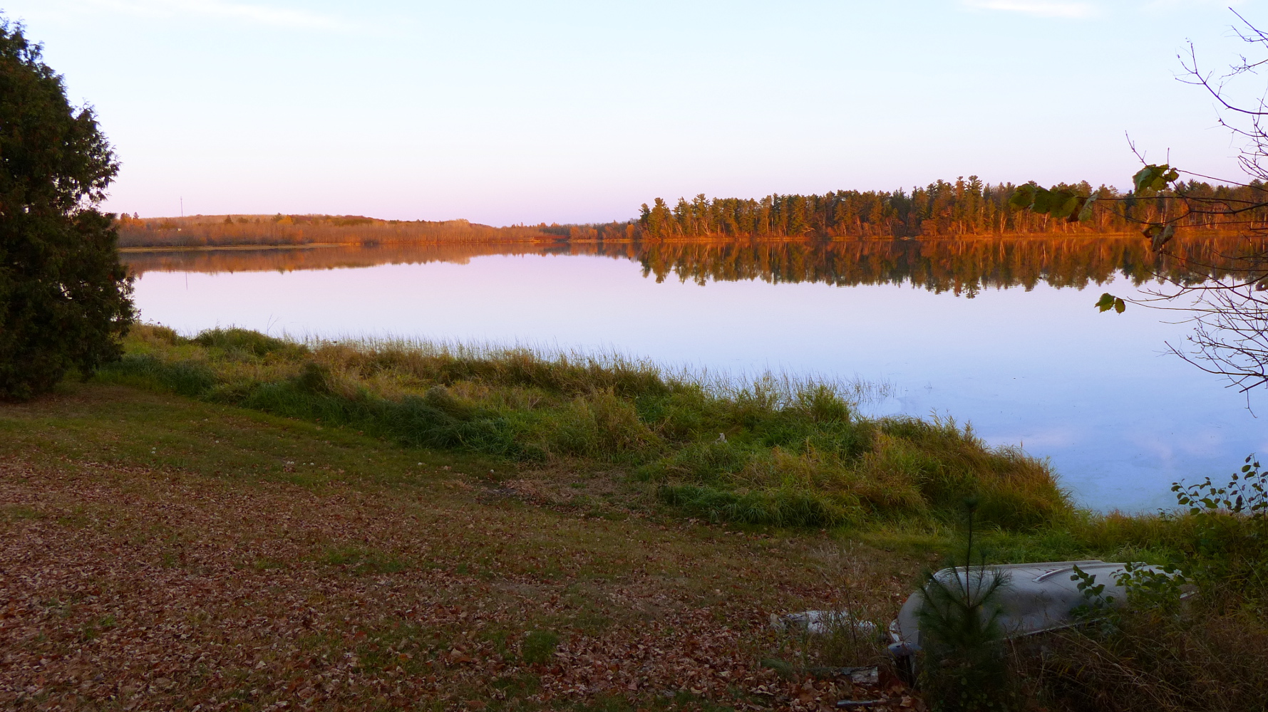
Moosehead Lake

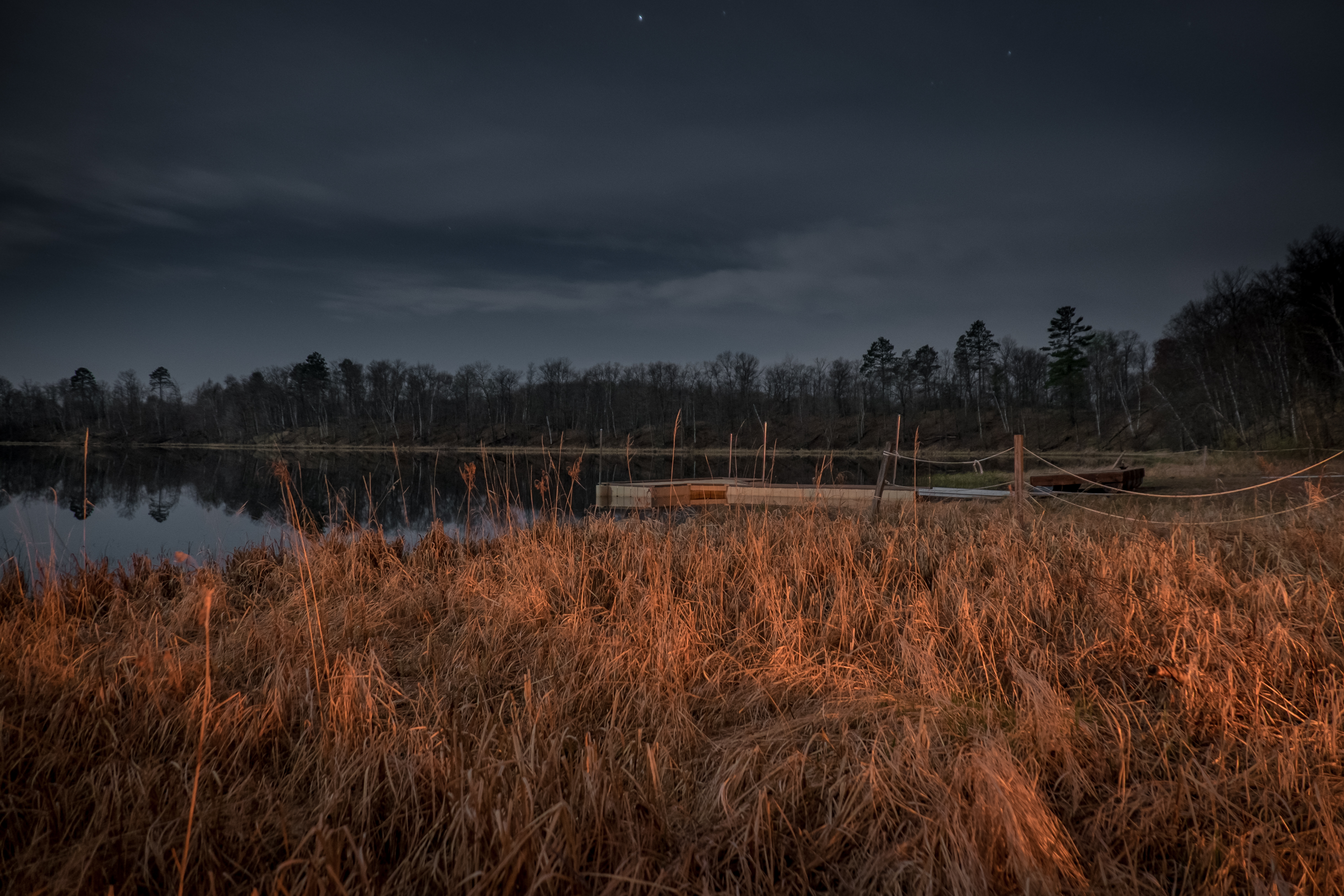
Sunset Over Lake
Moon & Fire

2010-07-13-016

2010-07-13-021

2010-07-13-020

2010-07-13-011

Camera Roll-1036

2010-07-13-013

2010-07-13-014

2010-07-13-005

window shots

2010-07-13-019

2010-07-13-001

2010-07-13-009

2010-07-13-002

2010-07-13-003

2010-07-13-007

2010-07-13-017
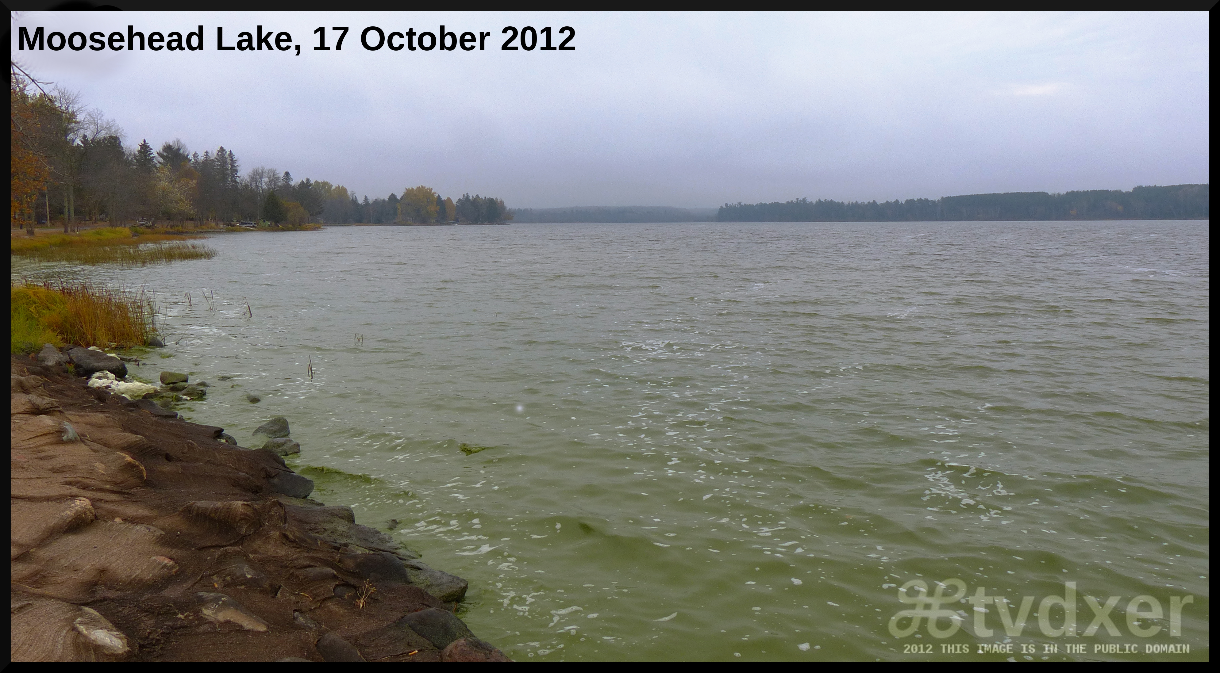
Moosehead Lake
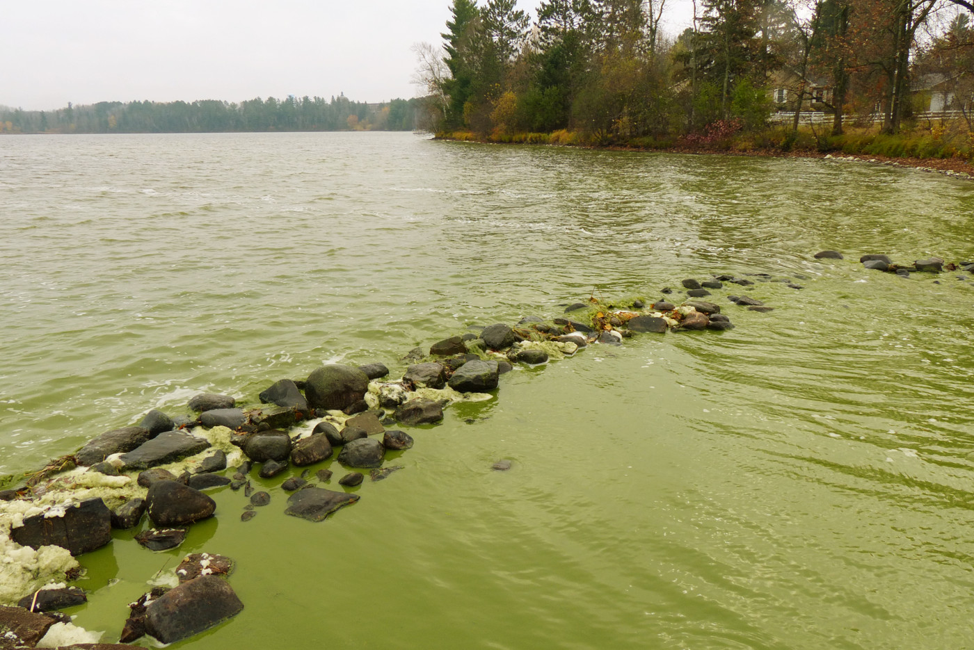
Division between River and Moosehead Lake
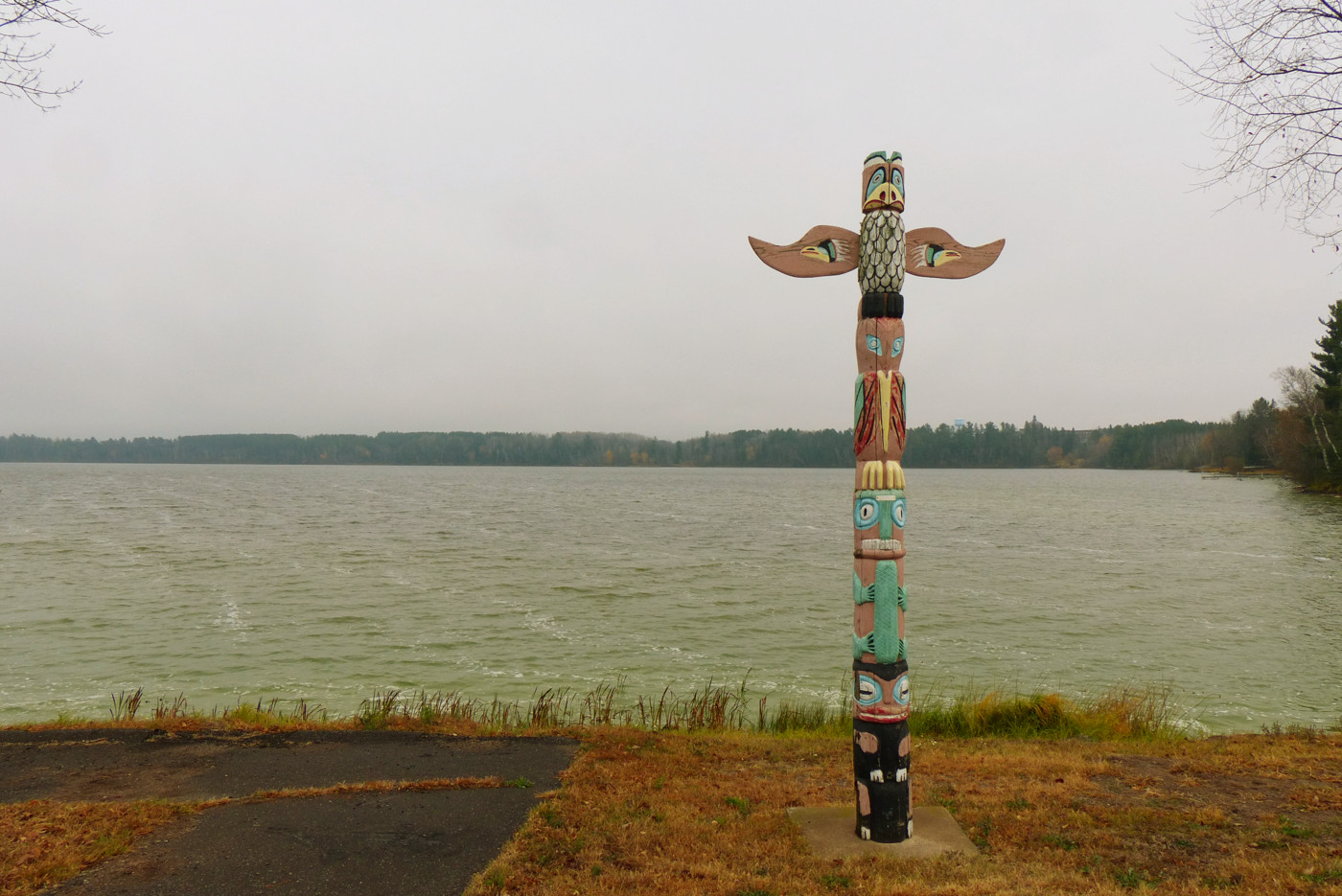
Totem in Moose Lake, MN Park

Kettle River
Topographic Map of Sturgeon Lake Township, MN, USA
Find elevation by address:

Places near Sturgeon Lake Township, MN, USA:
33711 Northview Rd
Sturgeon Lake
Kettle River Township
Willow River
Hwy 61, Willow River, MN, USA
76448 Debbie Ridge Rd
Rutledge
Rock Dam Road
Northridge Road
66697 Northridge Rd
Markville, MN, USA
806 Mn-123
Hinckley
65 12th St Nw
S 3rd Ave, Pine City, MN, USA
21007 St Croix Rd
Pine City
Pine City Township
Lakeside Township
Kanabec County
Recent Searches:
- Elevation of W Granada St, Tampa, FL, USA
- Elevation of Pykes Down, Ivybridge PL21 0BY, UK
- Elevation of Jalan Senandin, Lutong, Miri, Sarawak, Malaysia
- Elevation of Bilohirs'k
- Elevation of 30 Oak Lawn Dr, Barkhamsted, CT, USA
- Elevation of Luther Road, Luther Rd, Auburn, CA, USA
- Elevation of Unnamed Road, Respublika Severnaya Osetiya — Alaniya, Russia
- Elevation of Verkhny Fiagdon, North Ossetia–Alania Republic, Russia
- Elevation of F. Viola Hiway, San Rafael, Bulacan, Philippines
- Elevation of Herbage Dr, Gulfport, MS, USA