Elevation of Stumptown, WV, USA

Location: United States > West Virginia > Gilmer County > Center >

Longitude: -80.993997

Latitude: 38.8489788

Elevation: 222m / 728feet

Barometric Pressure: 99KPa

Elevation Map:

elevation map of Stumptown, WV, USA

Satellite Map:

Satellite map of Stumptown, WV, USA

Related Photos:

longexposure windows light shadow sky lightpainting color building tree art abandoned window nature silhouette horizontal night dark stars person one wooden experimental view creative structure westvirginia astrophotography shack derelict viewing startrails milkyway calhouncounty
Mine is the Night
2018 america baker braxton county mark may north us usa virginia wv west day outdoor panorama panoramic photo photograph picsmark rural spring states united view
2018 05 20 108 Back country, WV
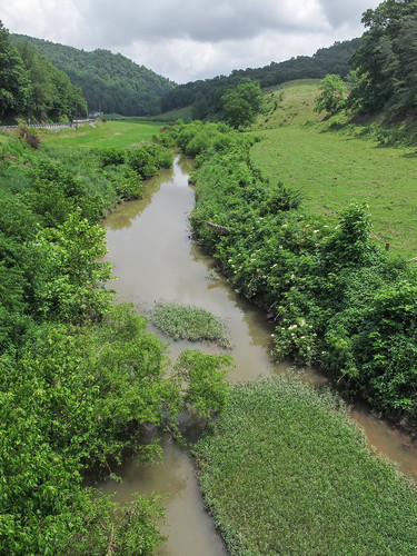
2014 20140626 countyroad23 gilmercounty gilmercountywestvirginia gilmercountylandscape img2929 june june2014 leftforksteercreek littlekanawhariverdrainagebasin littlekanawhariverwatershed ohioriverdrainagebasin ohioriverwatershed rosedaleroad steercreekdrainagebasin steercreekwatershed stumptown stumptownwestvirginia us119 us33 ushighway119 ushighway33 usroute119 usroute33 westvirginia westvirginialandscape centralwestvirginia countrylife creek creeklandscape gravelbar landscape muddywater partlysunny pastorallandscape pasture pasturelandscape riparianplants river riverlandscape riverinelandscape ruralarea ruralcreek rurallandscape ruralriver ruralstream sandbar stream streamlandscape view viewfromabridge
An expression of the notion of "country life" in water.
longexposure pink trees sky lake lightpainting color reflection nature water vertical night dark stars landscape outdoors us dock pond purple unitedstates nobody westvirginia astrophotography startrails grantsville calhouncounty calhouncountypark
The Brilliance of Night
longexposure trees sky color nature horizontal night dark stars landscape outdoors village surreal nobody westvirginia astrophotography rectangle startrails polaris northstar calhouncounty
Star Land Town Square
appalachia astrophotography calhouncountypark dark galacticcore galaxy glowing house landscape light lightpainting lit longexposure milkyway mood nature night panorama shack shed silhouette sky stars trees westvirginia
Midnight Reverie
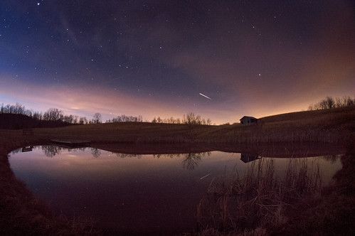
longexposure sky lake color reflection building abandoned nature water horizontal night clouds dark stars landscape outdoors us pond unitedstates calhoun space country nobody westvirginia astrophotography astronomy rectangle iss grantsville internationalspacestation calhouncountypark
International Space Station over Calhoun County Park
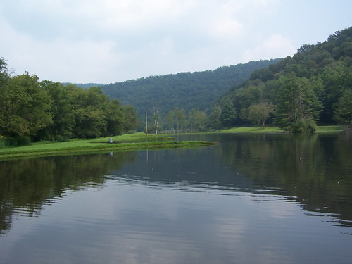
usa unitedstates westvirginia glenville cedarcreekstatepark
Cedar Creek State Park
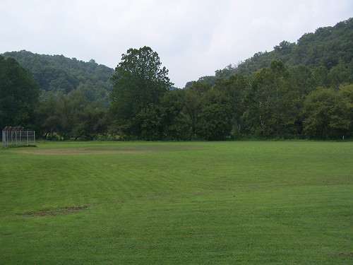
usa unitedstates westvirginia glenville cedarcreekstatepark
Cedar Creek State Park
usa unitedstates westvirginia glenville cedarcreekstatepark
Cedar Creek State Park
usa unitedstates westvirginia glenville cedarcreekstatepark
Cedar Creek State Park
water creek westvirginia
Water Flowing