Elevation of Strickland Rd, Fort Fairfield, ME, USA
Location: United States > Maine > Aroostook County > Fort Fairfield >
Longitude: -67.870122
Latitude: 46.8557577
Elevation: 181m / 594feet
Barometric Pressure: 99KPa
Elevation Map:
Satellite Map:
Related Photos:

Rain does make for some damn nice views when it passes. #loring2015

Picture 37
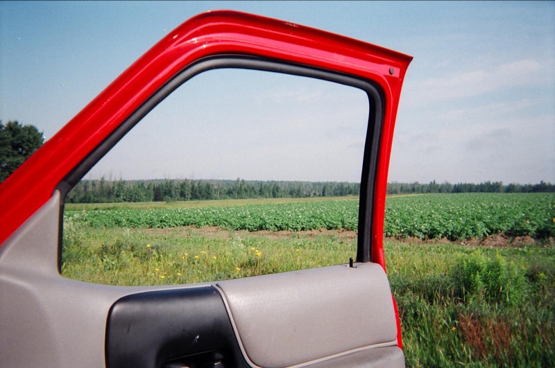
View, Maine, on the way to "It"

My View

Day 2. #CMC #loringafb #autox
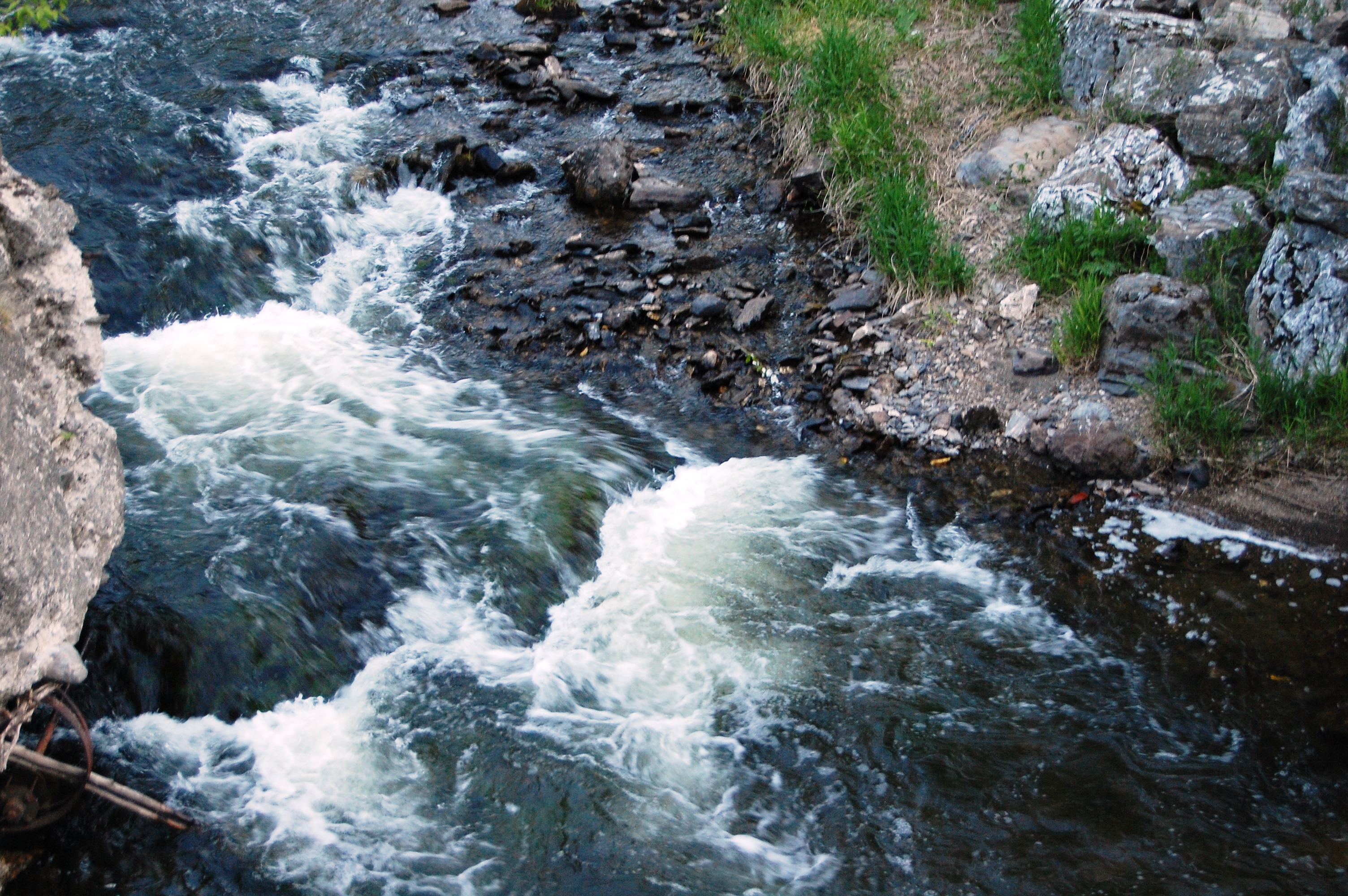
Aroostook River

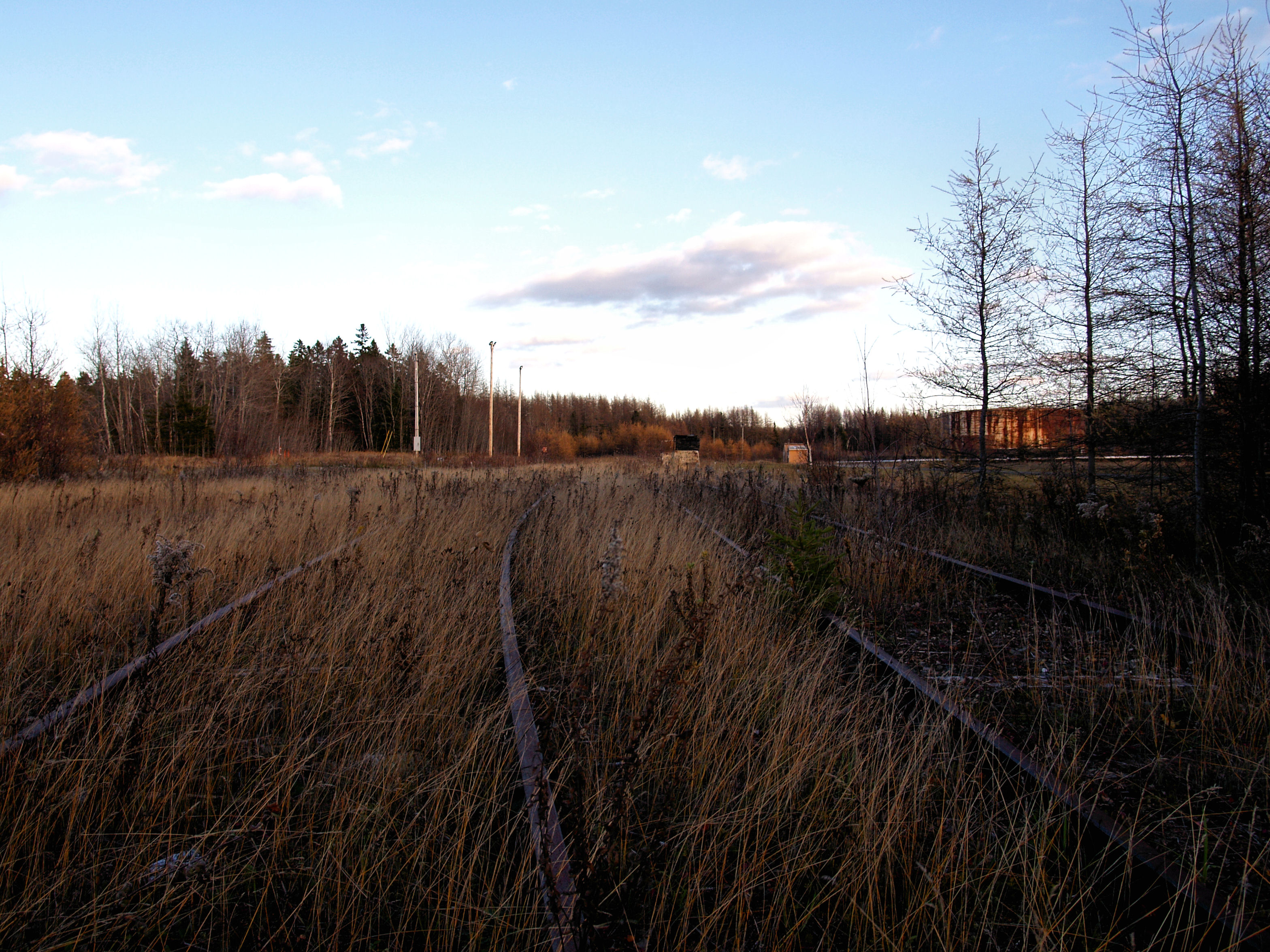
Loring AFB: Aroostook NWR Roadside Marsh
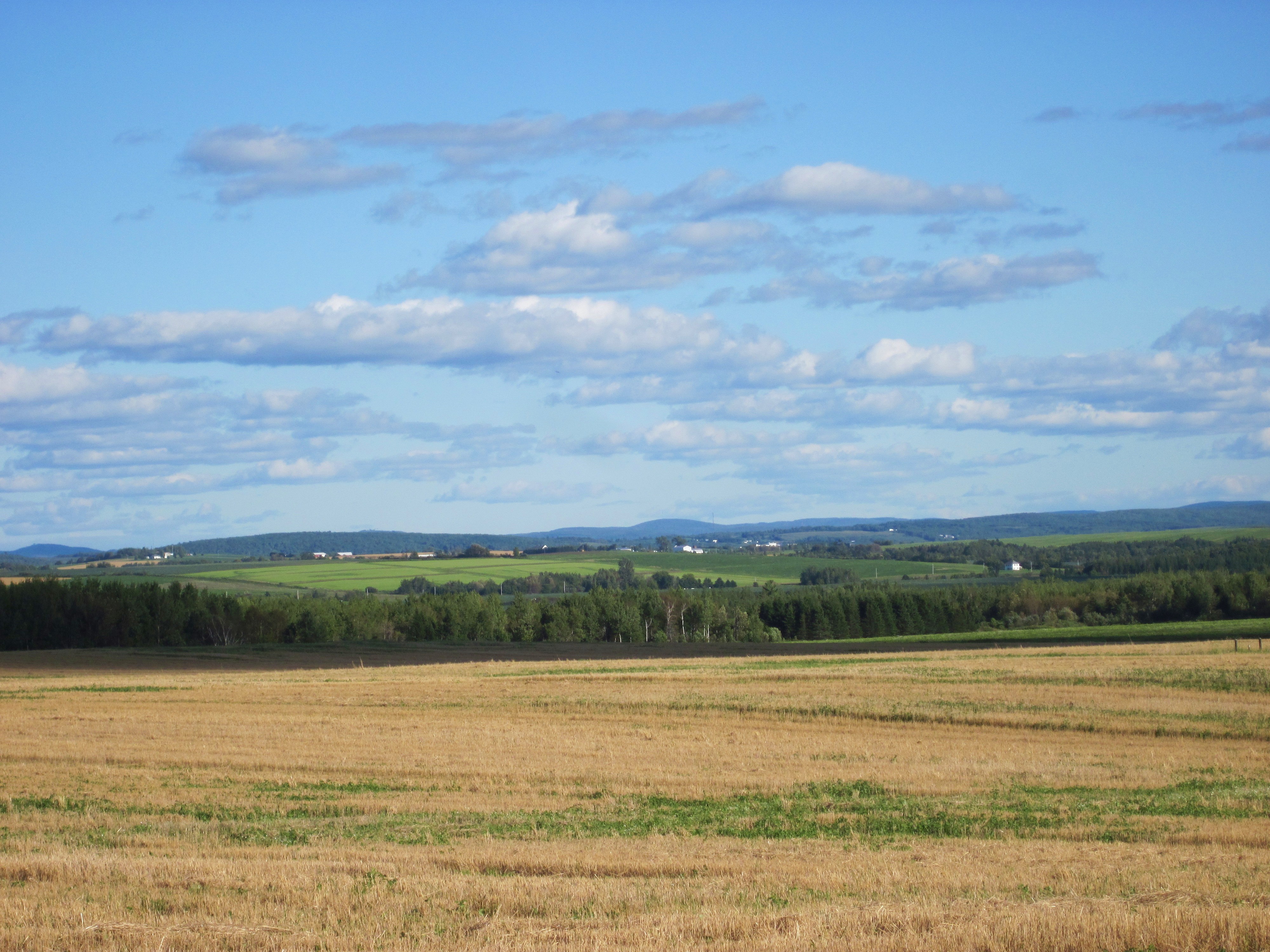
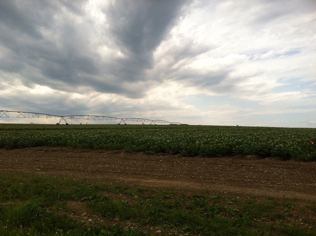
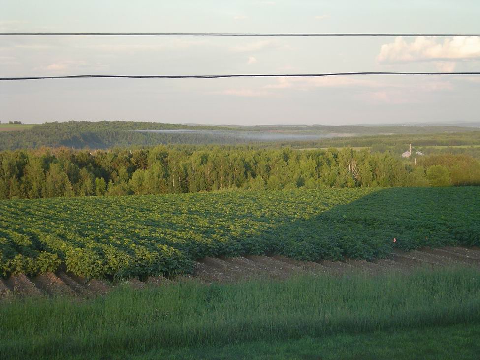
Aroostook County: Rolling Fields
POL Tanks
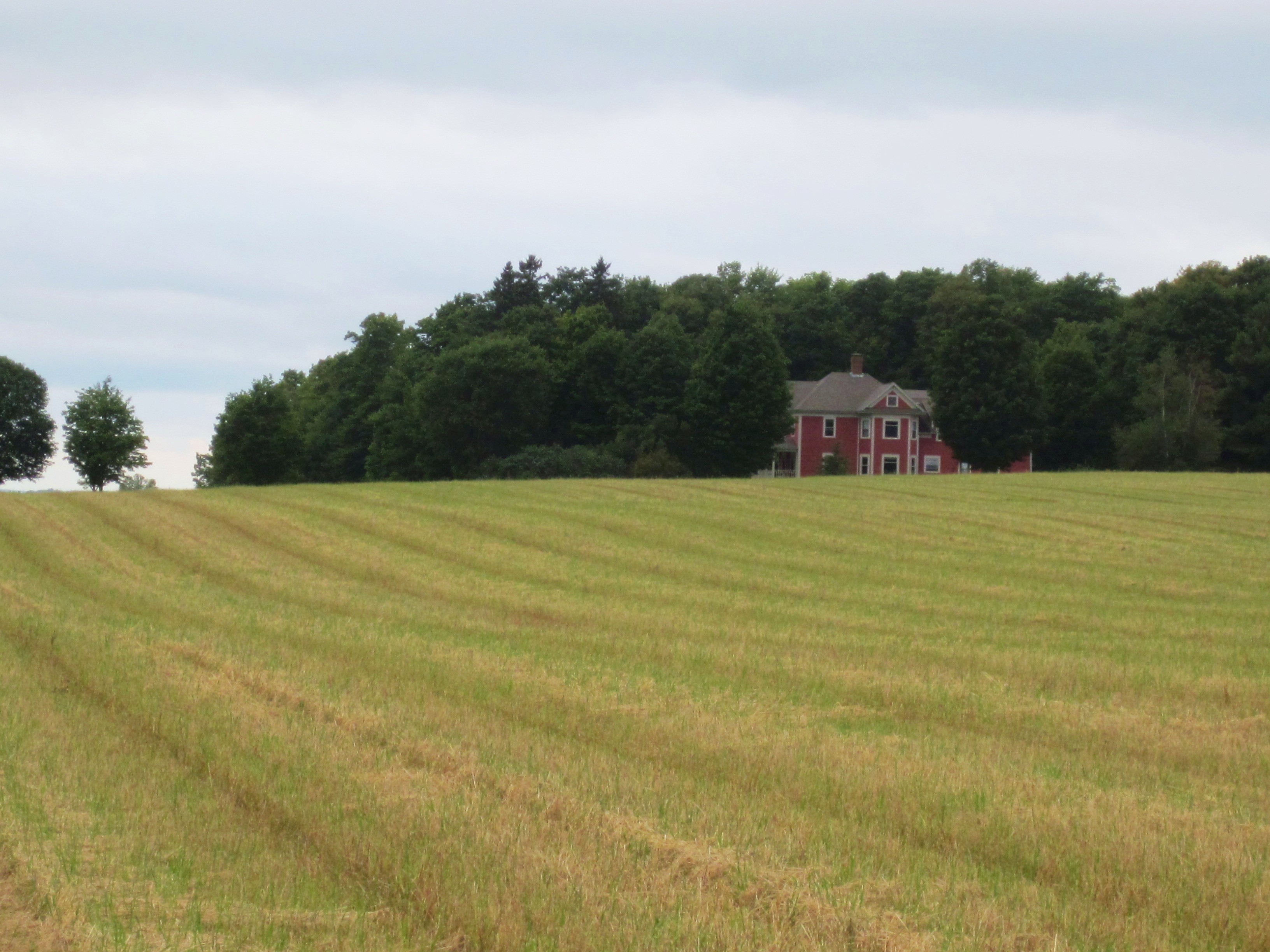
Aroostook County: Red House
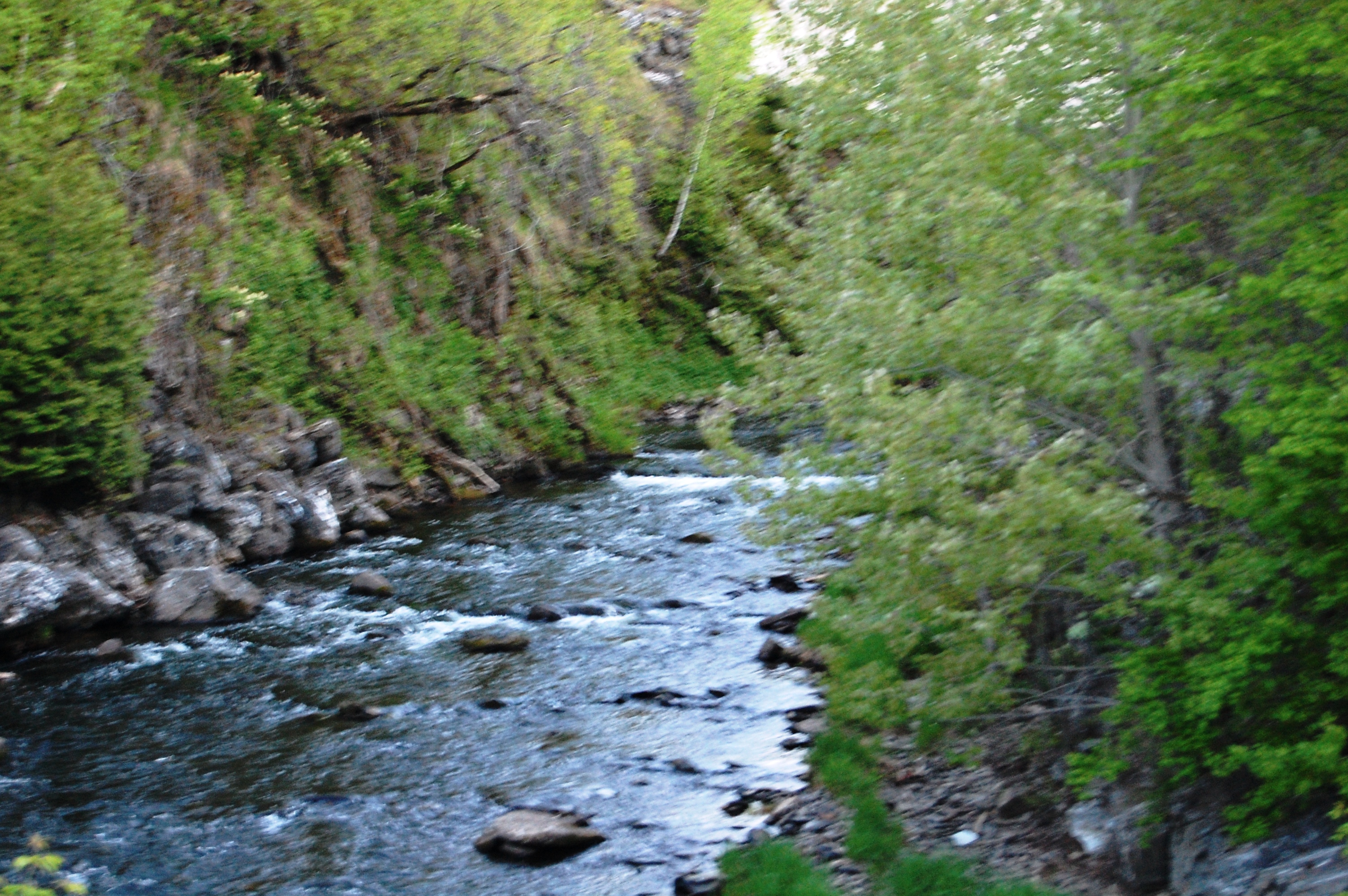
Aroostook River
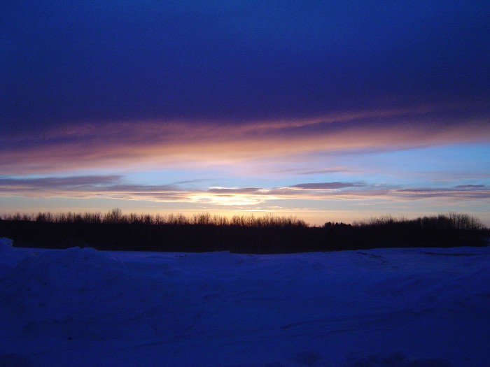
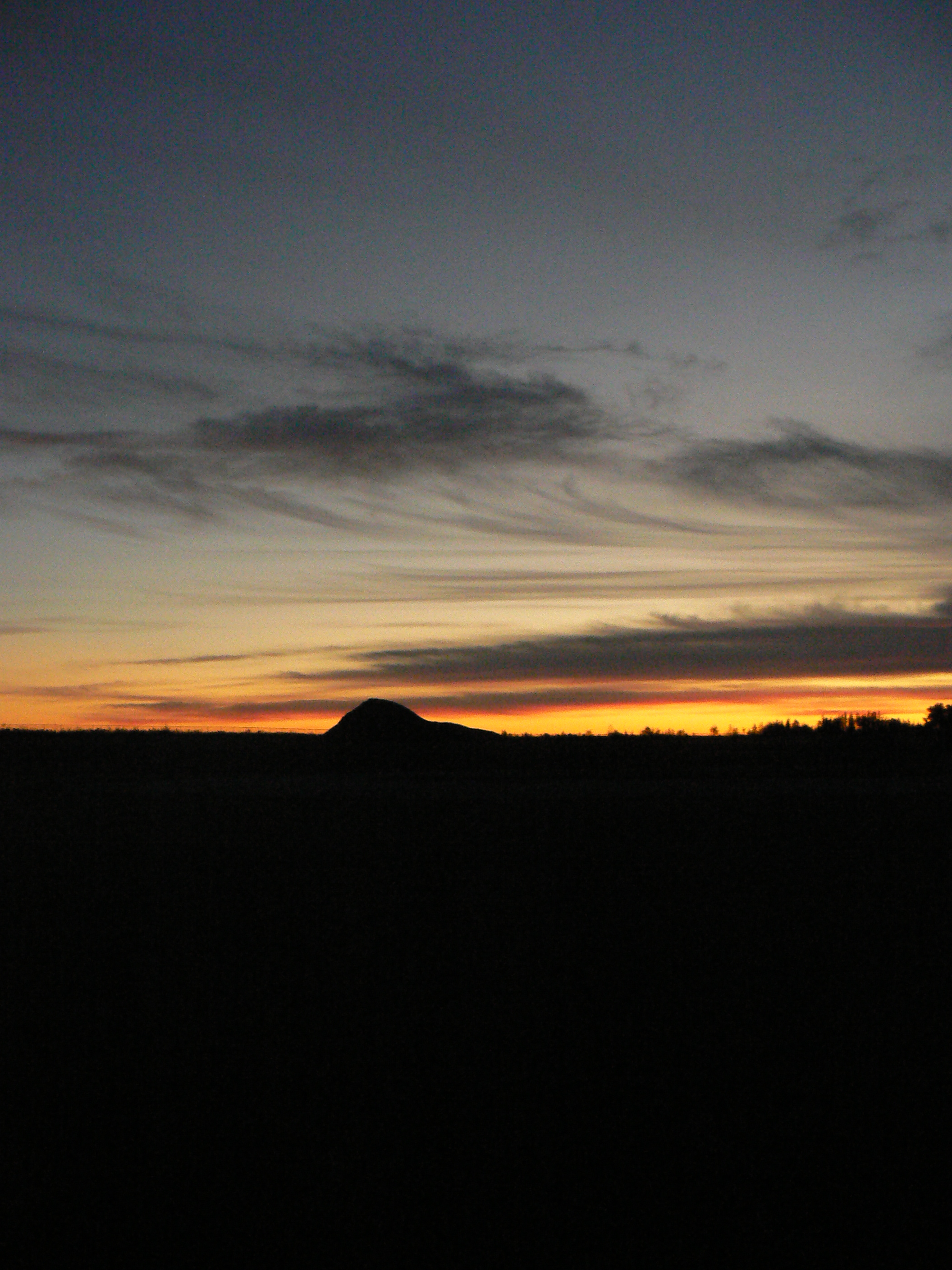
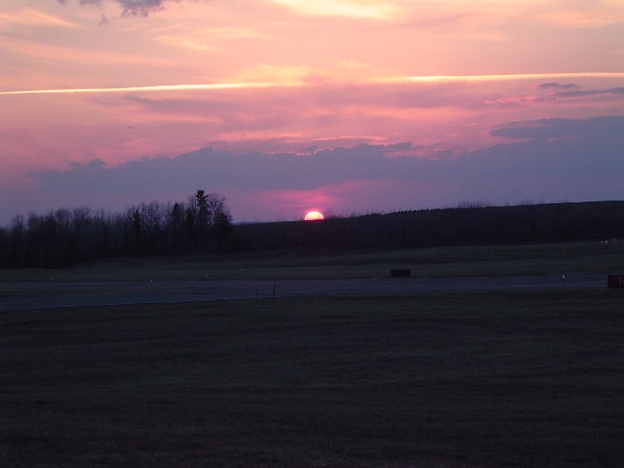
sunset-2-27-04b
July 18, 2013

sunset-6-13-04c
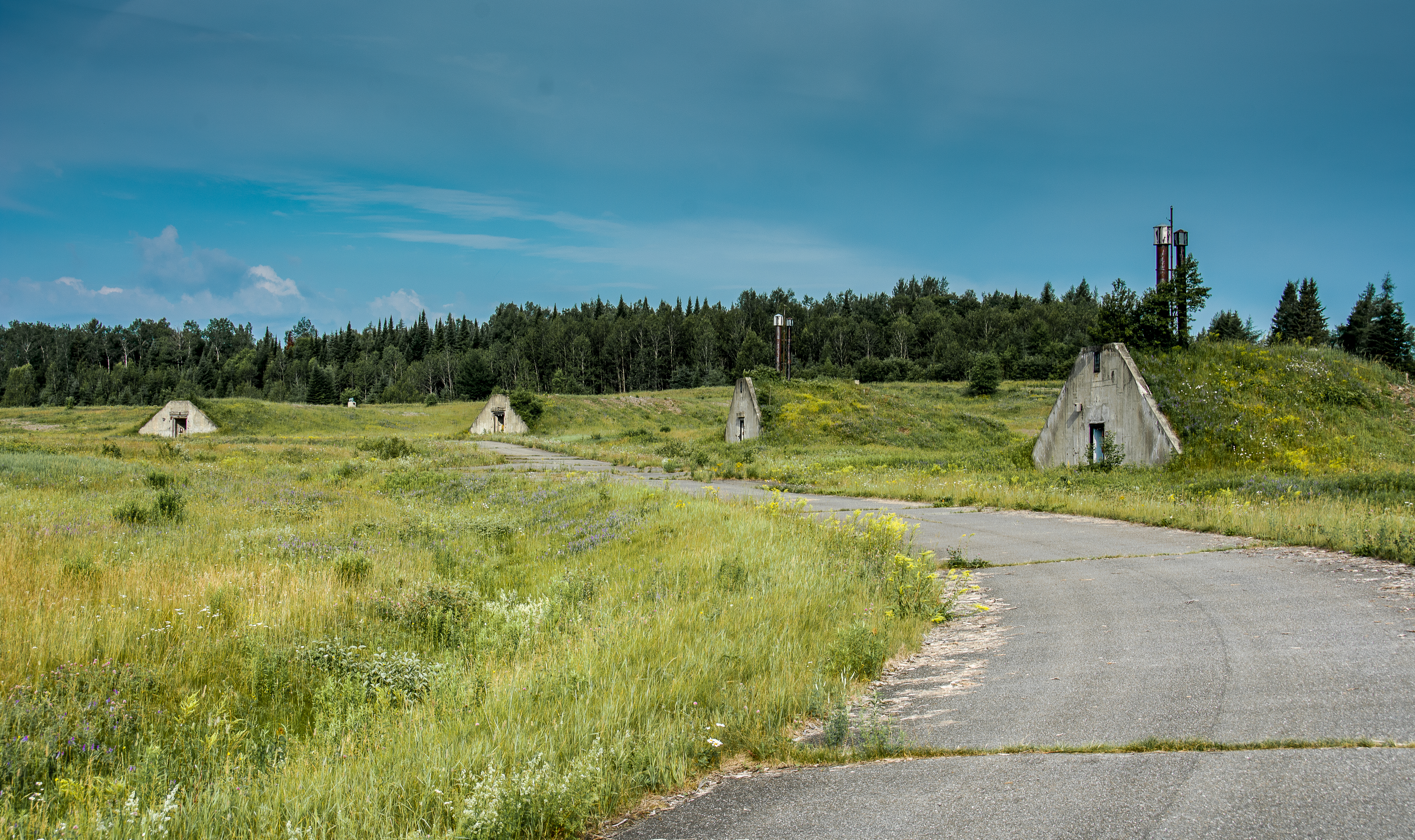
Nuclear War Head Bunkers

sunset-8-24-04d
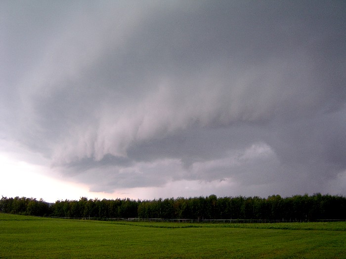
shelfcloud-7-31-04b
The Greatest Love Affair
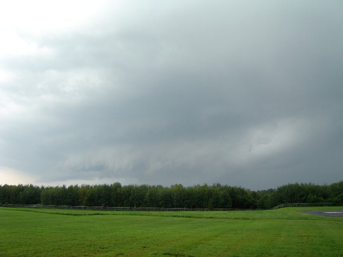
shelfcloud-7-31-04a
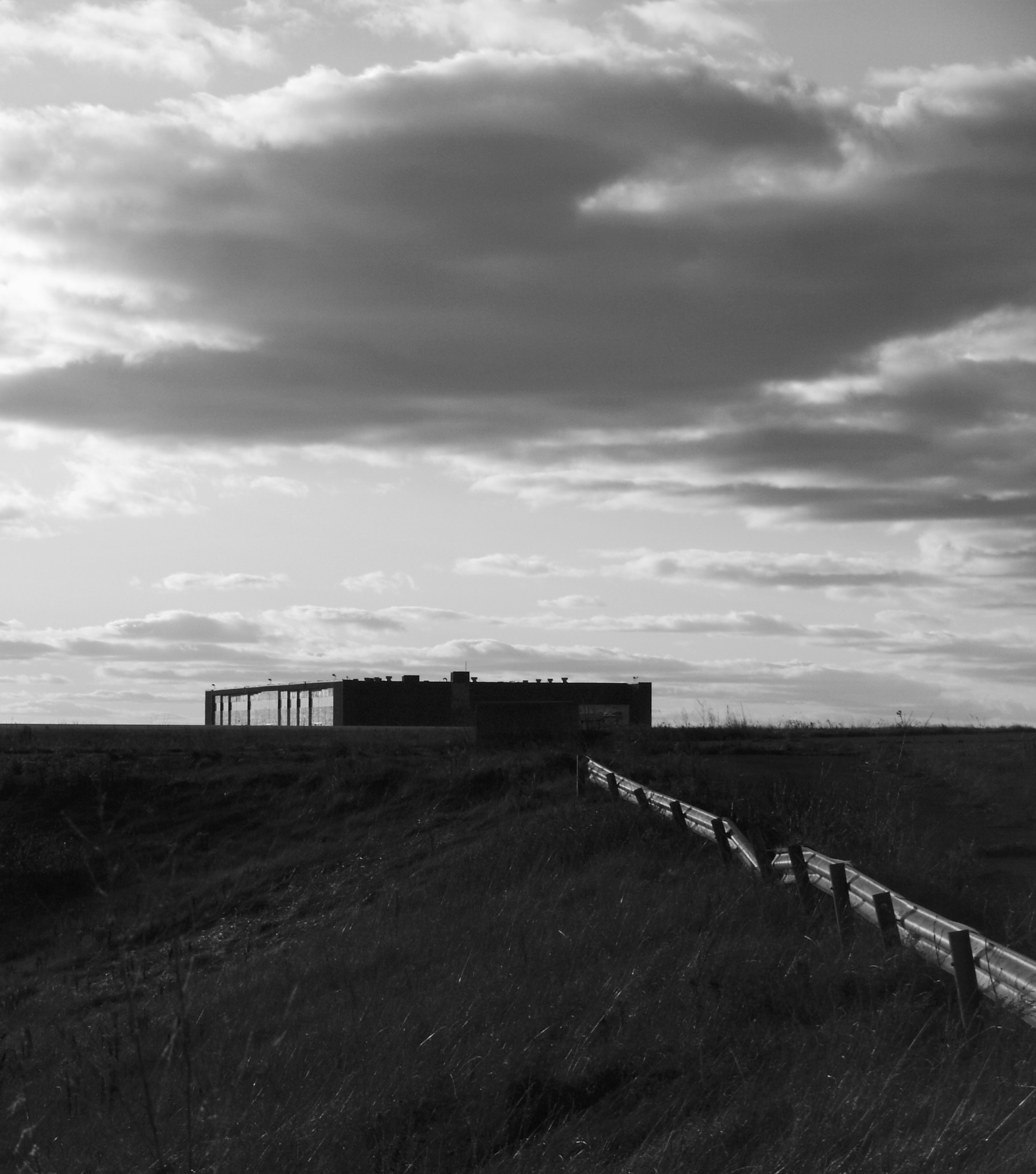
Building 943
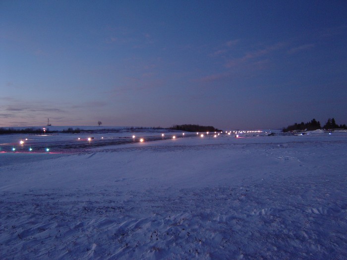
sunset-runway
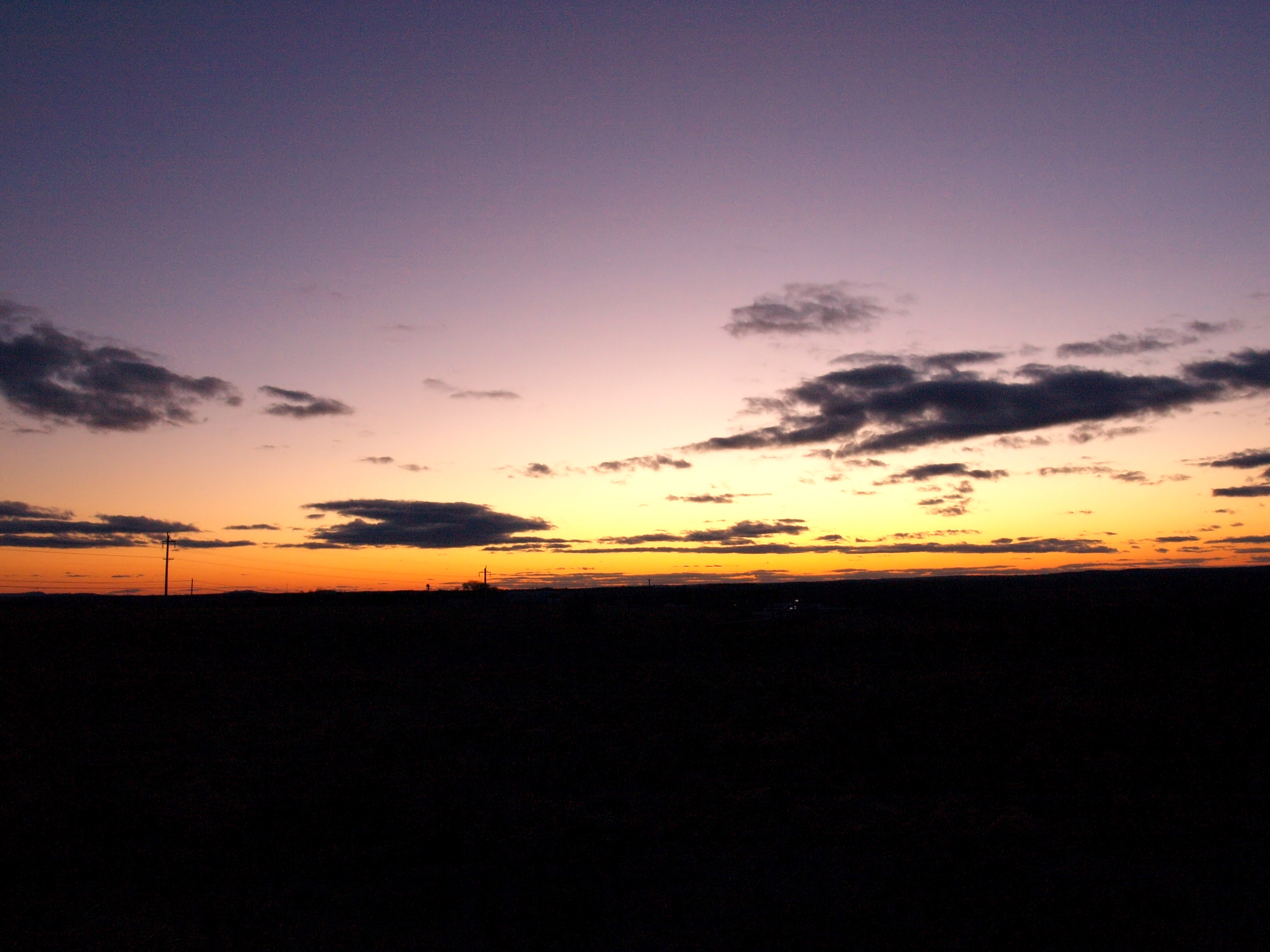
sunset-4-30-2004
fog forming
DC Hanger
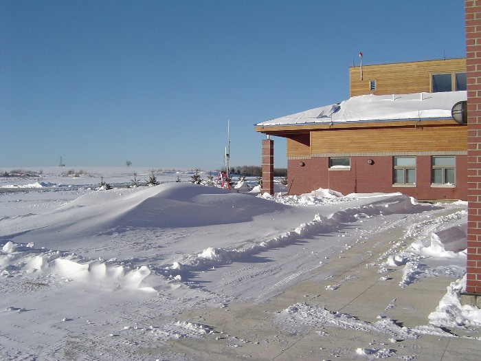
snow-1-21-04d
Topographic Map of Strickland Rd, Fort Fairfield, ME, USA
Find elevation by address:

Places near Strickland Rd, Fort Fairfield, ME, USA:
S Caribou Rd, Fort Fairfield, ME, USA
S Caribou Rd, Fort Fairfield, ME, USA
Fort Fairfield, ME, USA
33 Main Siding Rd, Caribou, ME, USA
Limestone
Fort Fairfield
Fort Fairfield
29 Fort Hill St
E7h 5b9
Caswell
Caribou
Valley View Motel
163 Van Buren Rd
15 Sweden St, Caribou, ME, USA
Haney Road
450 Fort Fairfield Rd
Reach Road
Grand Falls
Carlingford
Andover
Recent Searches:
- Elevation of Elwyn Dr, Roanoke Rapids, NC, USA
- Elevation of Congressional Dr, Stevensville, MD, USA
- Elevation of Bellview Rd, McLean, VA, USA
- Elevation of Stage Island Rd, Chatham, MA, USA
- Elevation of Shibuya Scramble Crossing, 21 Udagawacho, Shibuya City, Tokyo -, Japan
- Elevation of Jadagoniai, Kaunas District Municipality, Lithuania
- Elevation of Pagonija rock, Kranto 7-oji g. 8"N, Kaunas, Lithuania
- Elevation of Co Rd 87, Jamestown, CO, USA
- Elevation of Tenjo, Cundinamarca, Colombia
- Elevation of Côte-des-Neiges, Montreal, QC H4A 3J6, Canada