Elevation map of Strathbogie Shire, Strathbogie, VIC, Australia
Location: Australia > Victoria >
Longitude: 145.402868
Latitude: -36.848585
Elevation: 259m / 850feet
Barometric Pressure: 98KPa
Elevation Map:
Satellite Map:
Related Photos:

Views Along the Road in country Vic

Riffles for spawning

Sunset colors

Longwood Load

Longwood Loco

John Torcasio: Outdoor

BGTY 01401 M

BGTY 01403 H

BGTY 01404 Q

BGTY 01405 C

BGTY 01406 L
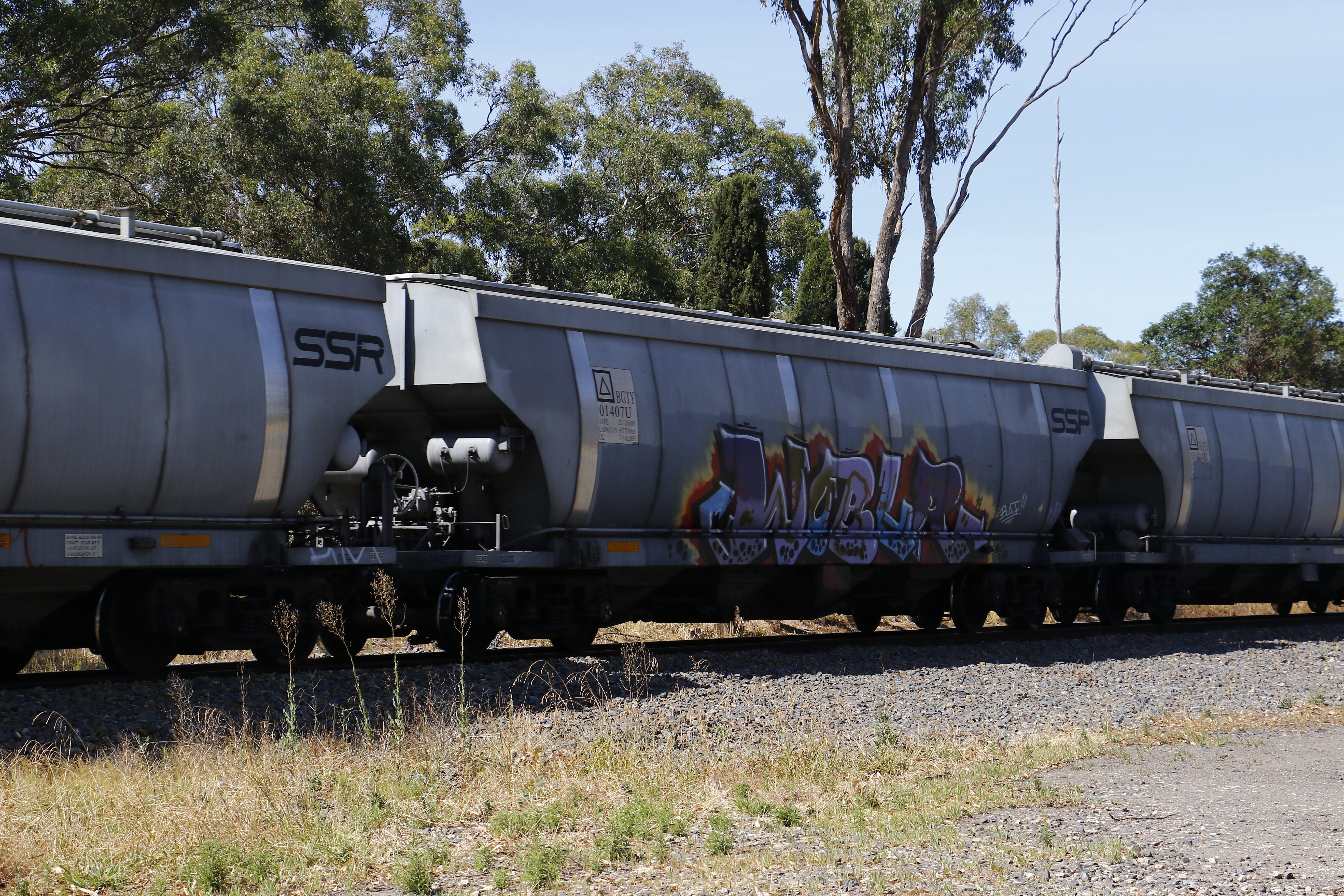
BGTY 01407 U

BGTY 01408 G

BGTY 01409 P

BGTY 01410 L
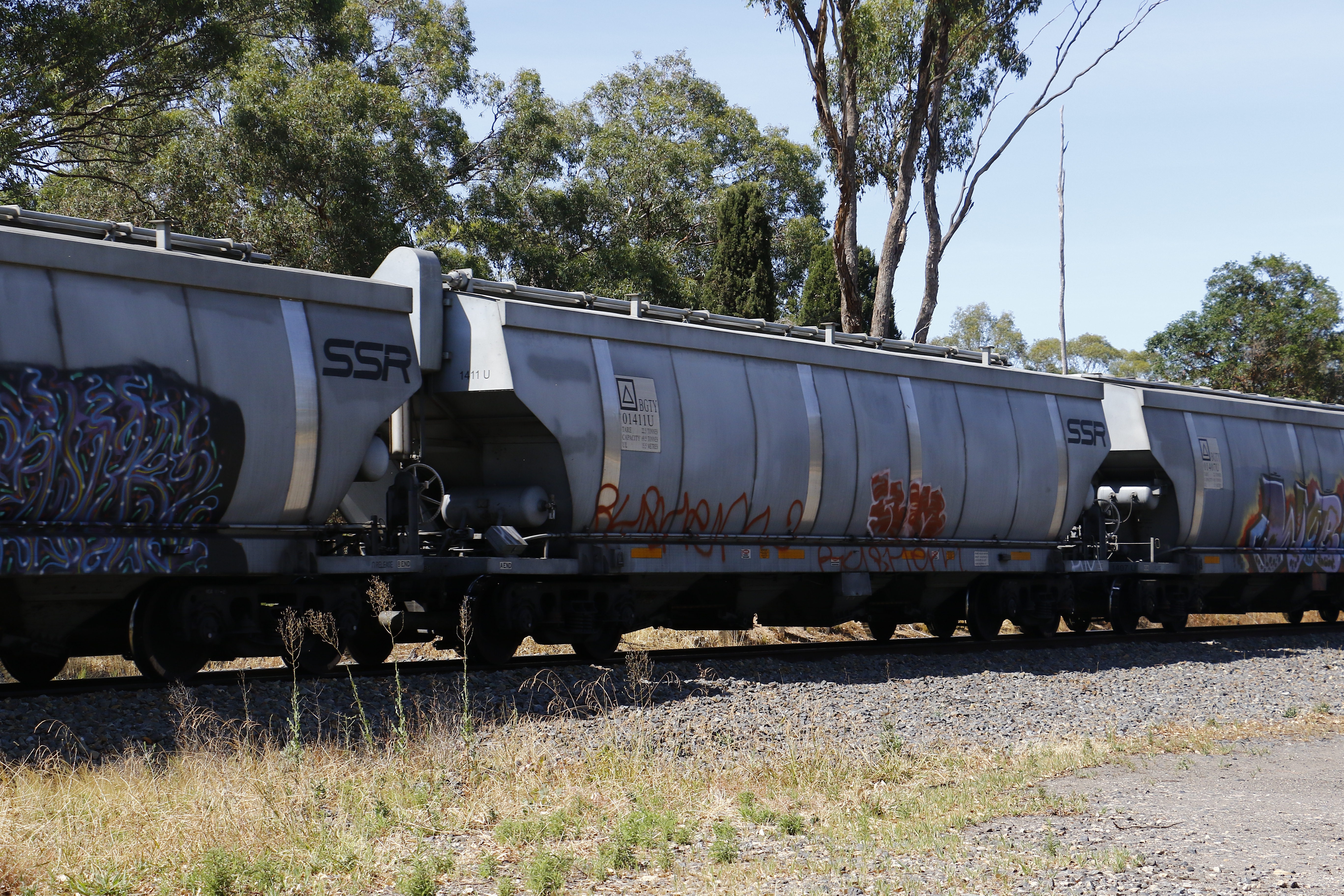
BGTY 01411 U

BGTY 01412 G

BGTY 01414 B
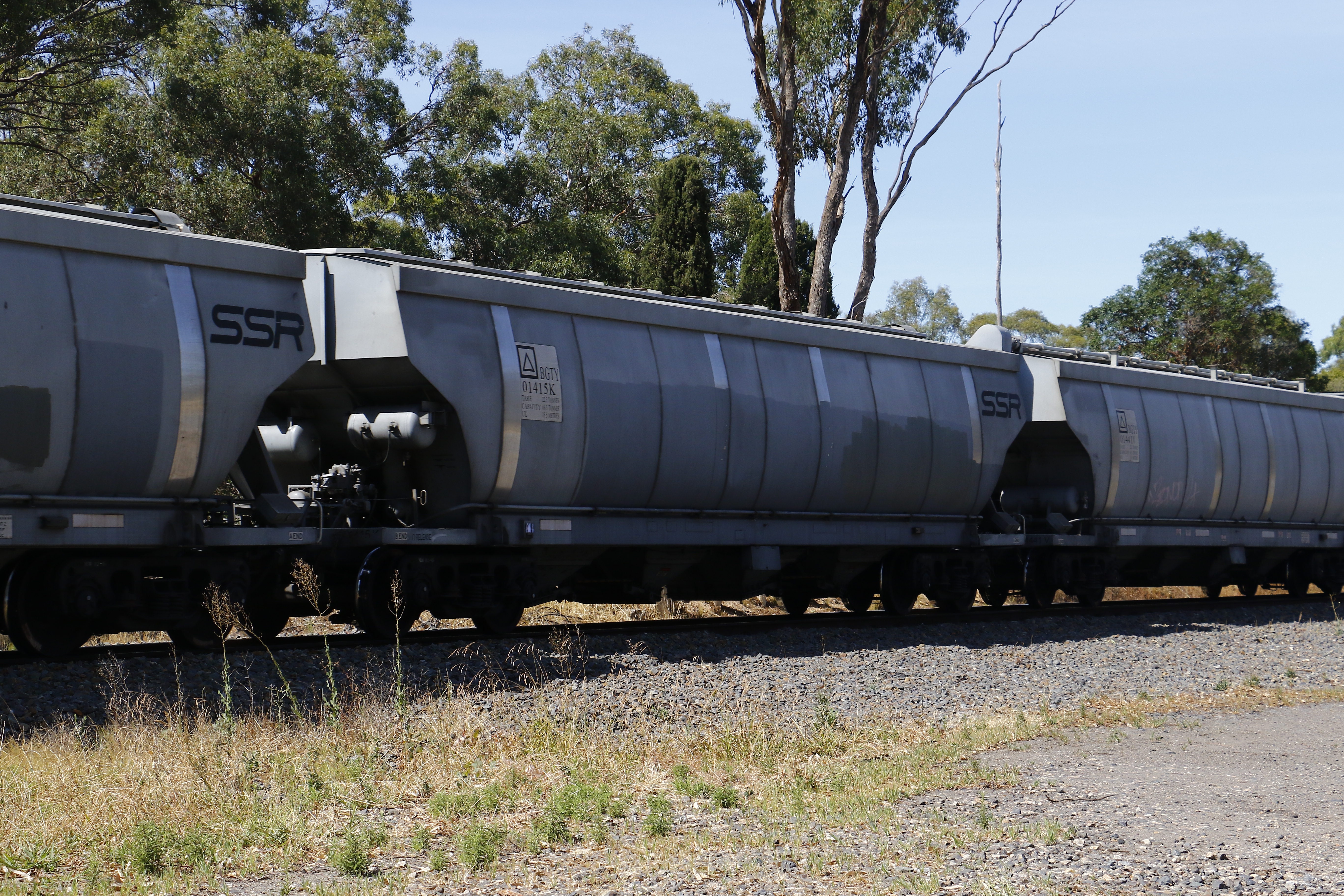
BGTY 01415 K

BGTY 01416 T

BGTY 01417 F

BGTY 01418 Y

BGTY 01419 A

BGTY 01420 T
Topographic Map of Strathbogie Shire, Strathbogie, VIC, Australia
Find elevation by address:

Places in Strathbogie Shire, Strathbogie, VIC, Australia:
Places near Strathbogie Shire, Strathbogie, VIC, Australia:
Euroa
26 Station St
Murchison
Meadows Lane
Merton
Yea
259 High St
Violet Town
Rushworth
Hilldene
125 Clydesdale Rd
Ancona
Alexandra
5 Taylor St
917 Dry Creek Rd
143 Moses Ln
Mitchell Shire
26a The Parade
Broadford
Long Gully Road
Recent Searches:
- Elevation of Orangevale, CA, USA
- Elevation of Doe Cir, Clinton, OH, USA
- Elevation of Narhe, Pune, Maharashtra, India
- Elevation of Martins Mill Ct, Eagle Rock, NC, USA
- Elevation of Kippen, Stirling FK8, UK
- Elevation of Sieveringer Straße, Sieveringer Str., Wien, Austria
- Elevation of Bratskaya Ulitsa, 24, Kurgan, Kurganskaya oblast', Russia
- Elevation of Paradisvegen, Biri, Norway
- Elevation of Crystal Cir, Birmingham, AL, USA
- Elevation of N Railroad Ave, West Palm Beach, FL, USA