Elevation of Storozhynets'kyi district, Chernivets'ka oblast, Ukraine
Location: Ukraine > Chernivets'ka Oblast >
Longitude: 25.657571
Latitude: 48.1620301
Elevation: 364m / 1194feet
Barometric Pressure: 97KPa
Elevation Map:
Satellite Map:
Related Photos:
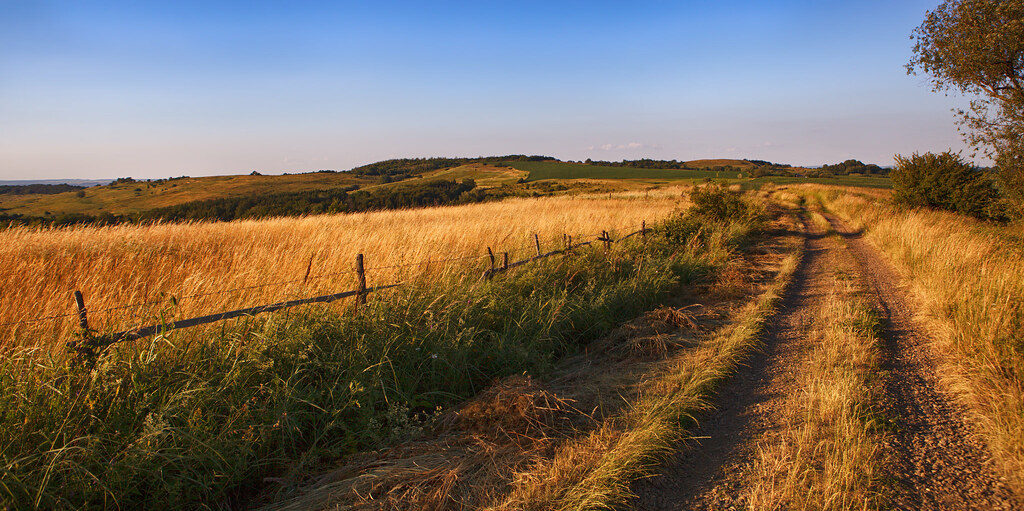
summer nature ...
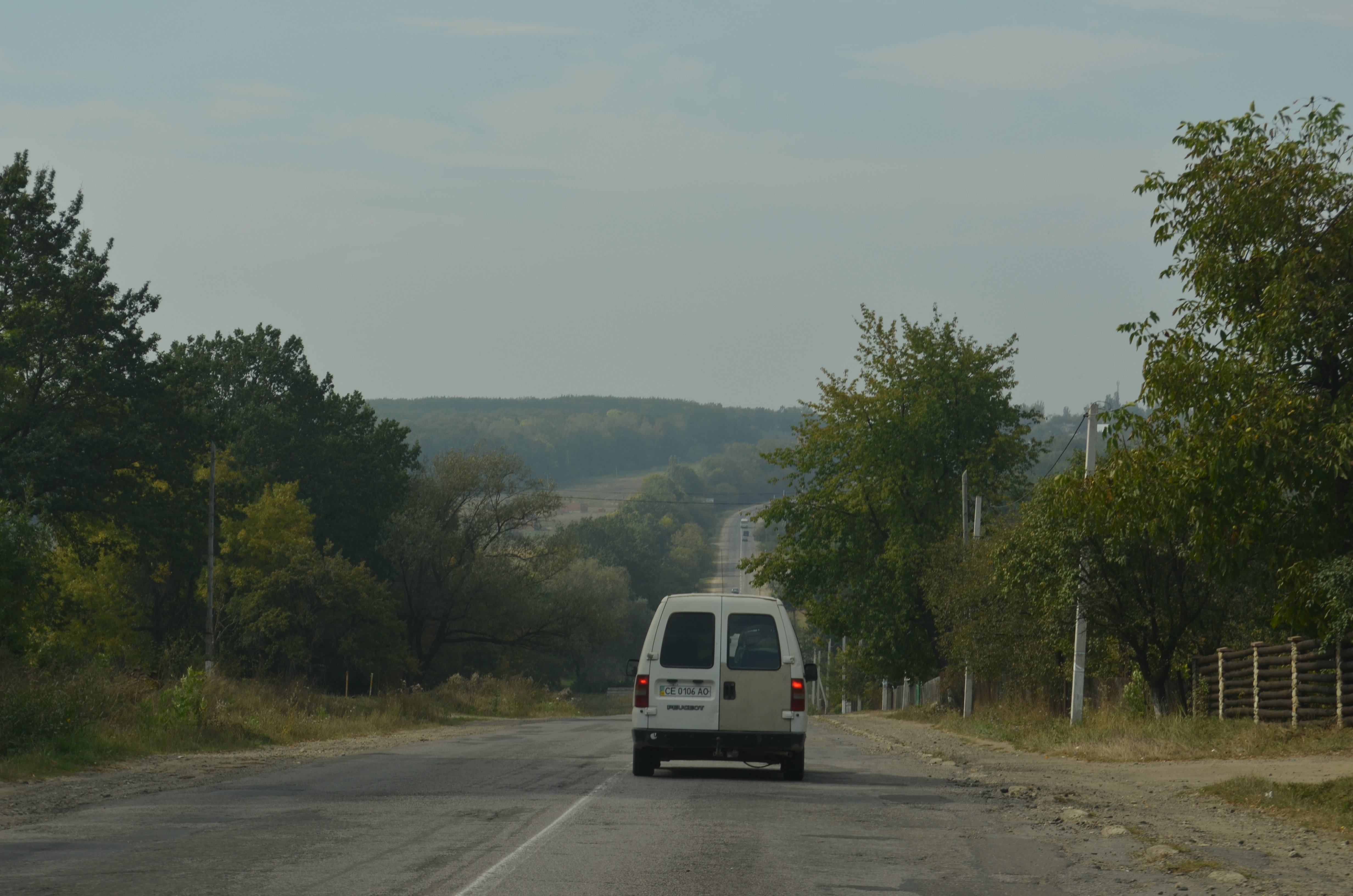
Дорога.A road.
Штучні квіти, перевернуті столи
Chairs against Benches
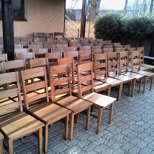
Non-equal Chairs
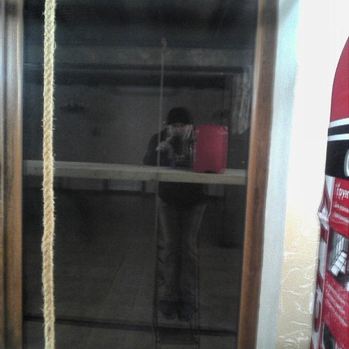
Автопортрет з ґрунтом та мотузкою
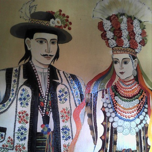
Фреска на стіні мотелю "Панночка"
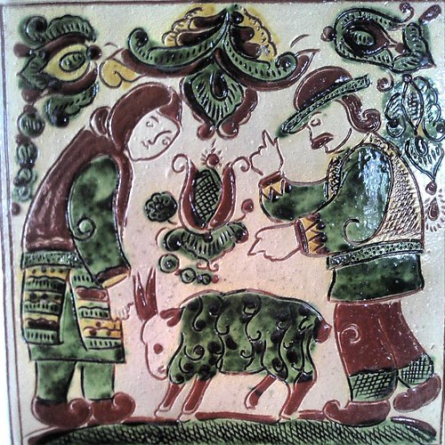
Зразок традиційного гуцульського кахля
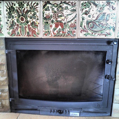
The Best TV-set in the Carpatian Mountains I've ever seen
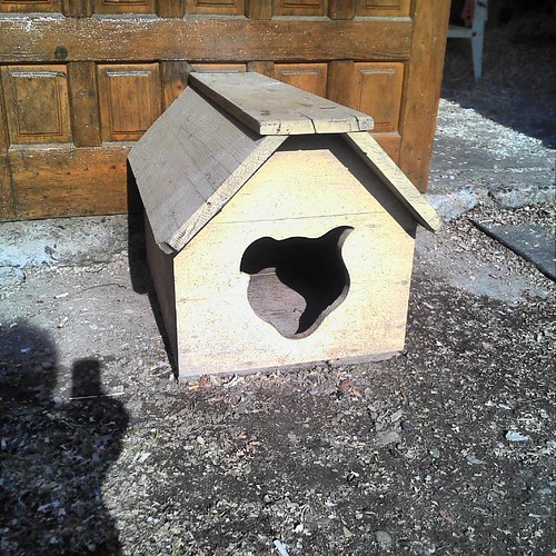
Never forget of Dog's Ears
Wodden Patterns

Folea andrei

Bry dig int
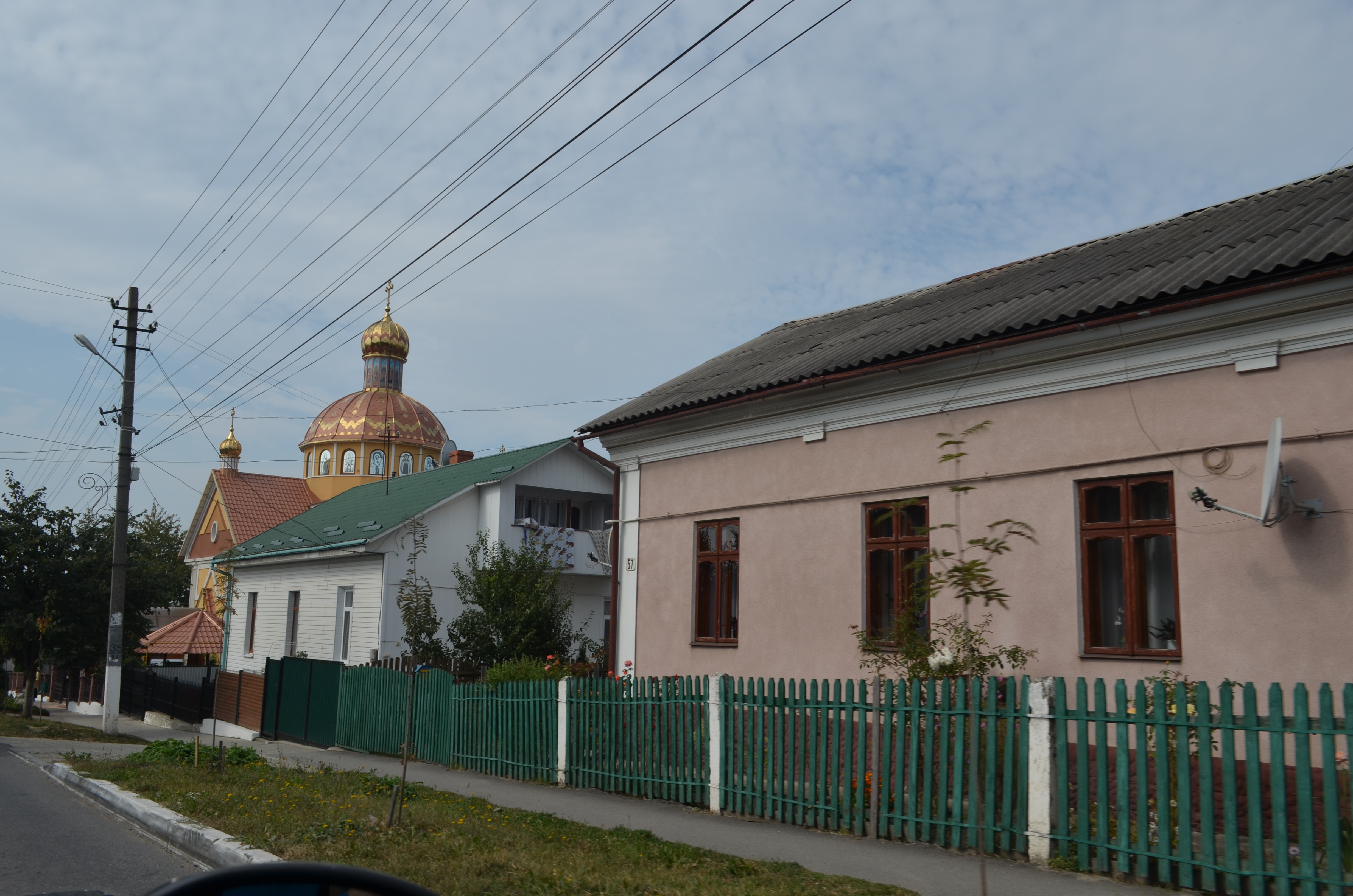
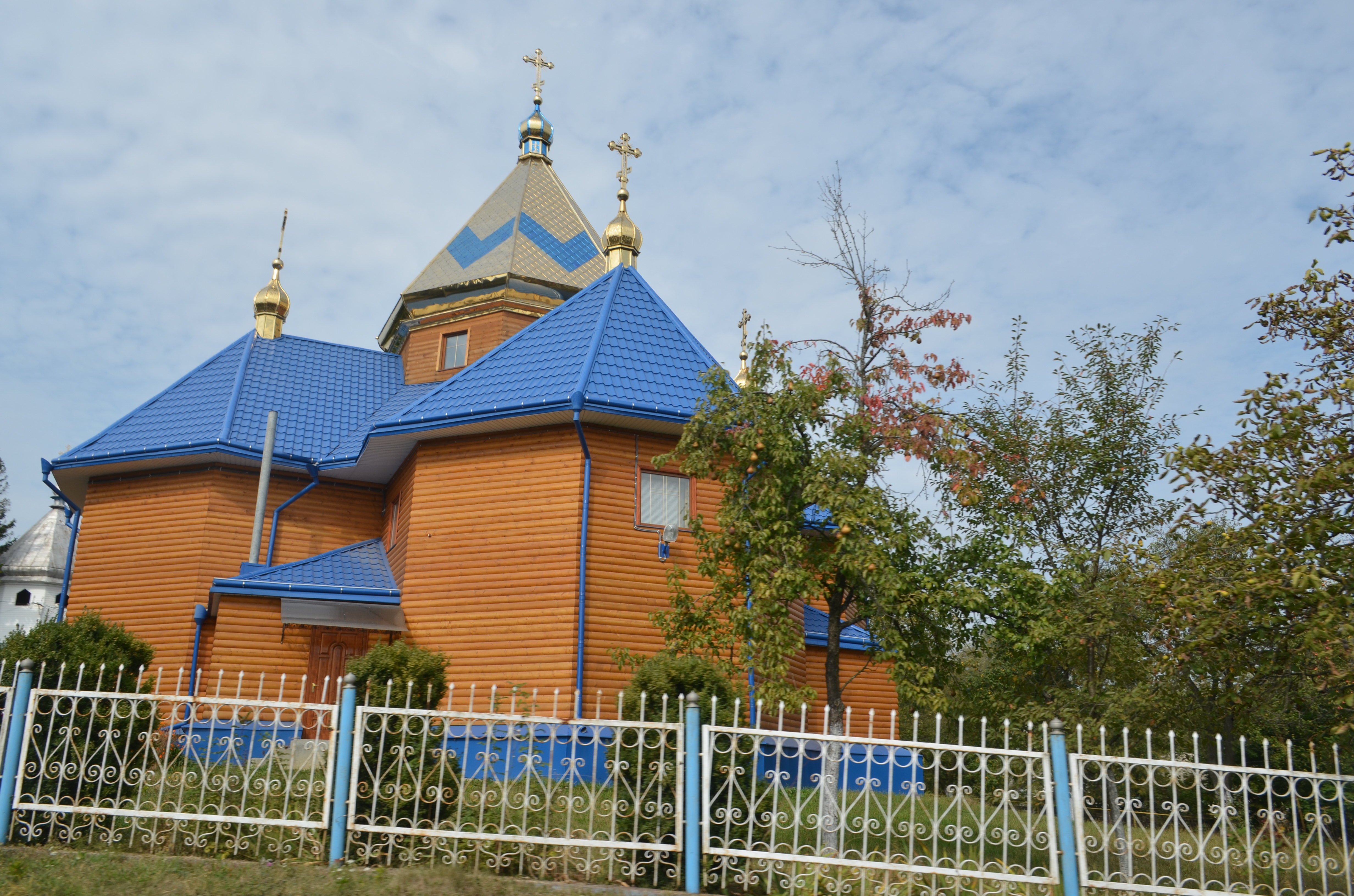
Сторожинец.Storozhynets.
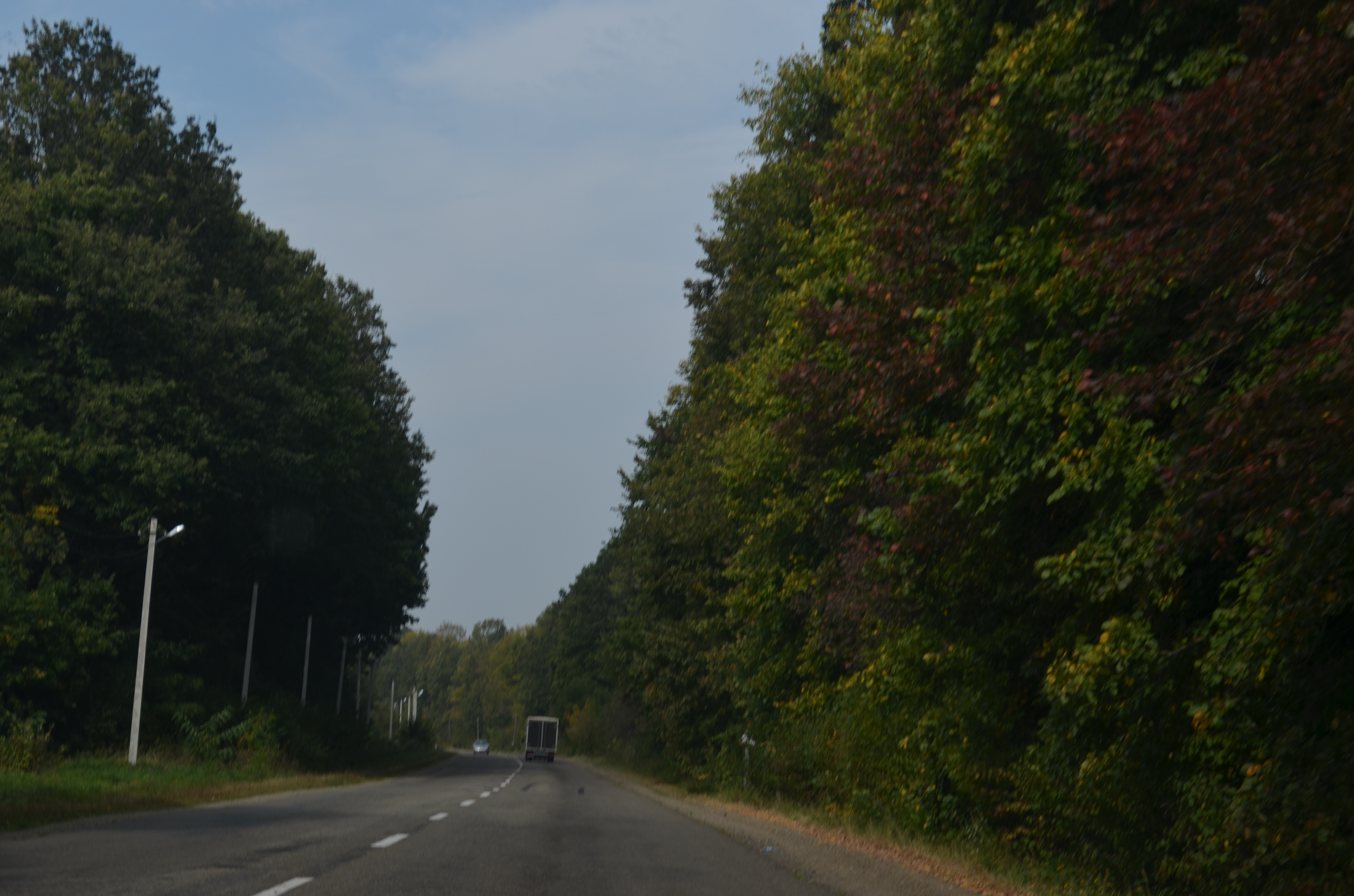
Дорога.A road.
Каменная.Kam'janka.
Topographic Map of Storozhynets'kyi district, Chernivets'ka oblast, Ukraine
Find elevation by address:

Places in Storozhynets'kyi district, Chernivets'ka oblast, Ukraine:
Places near Storozhynets'kyi district, Chernivets'ka oblast, Ukraine:
Storozhynets'
Chernivets'ka Oblast
Chernivitsi
Chernivtsi
Băncești
Rădăuți
Siret
Siret
Vârfu Câmpului
Varfu Campului
Dorohoi
Dorohoi
Darabani
Darabani
Kam'yanets'-podil's'kyi
Kam'yanets'-podil's'ka City Council
Recent Searches:
- Elevation of 72-31 Metropolitan Ave, Middle Village, NY, USA
- Elevation of 76 Metropolitan Ave, Brooklyn, NY, USA
- Elevation of Alisal Rd, Solvang, CA, USA
- Elevation of Vista Blvd, Sparks, NV, USA
- Elevation of 15th Ave SE, St. Petersburg, FL, USA
- Elevation of Beall Road, Beall Rd, Florida, USA
- Elevation of Leguwa, Nepal
- Elevation of County Rd, Enterprise, AL, USA
- Elevation of Kolchuginsky District, Vladimir Oblast, Russia
- Elevation of Shustino, Vladimir Oblast, Russia