Elevation of Stony Creek Road, Stony Creek Rd, California, USA
Location: United States > California > Amador County > Ione >
Longitude: -120.83301
Latitude: 38.3129024
Elevation: 228m / 748feet
Barometric Pressure: 99KPa
Elevation Map:
Satellite Map:
Related Photos:
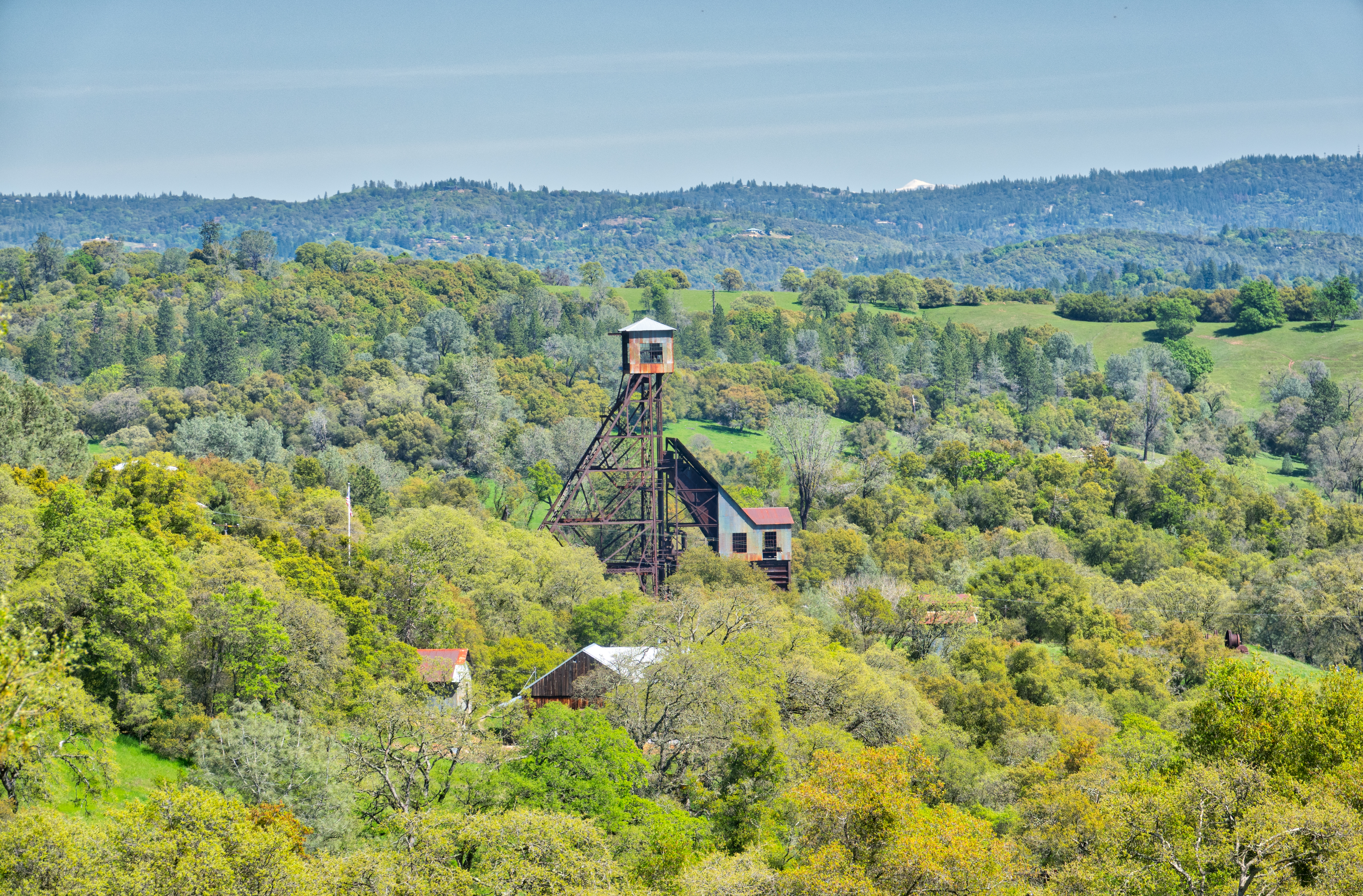
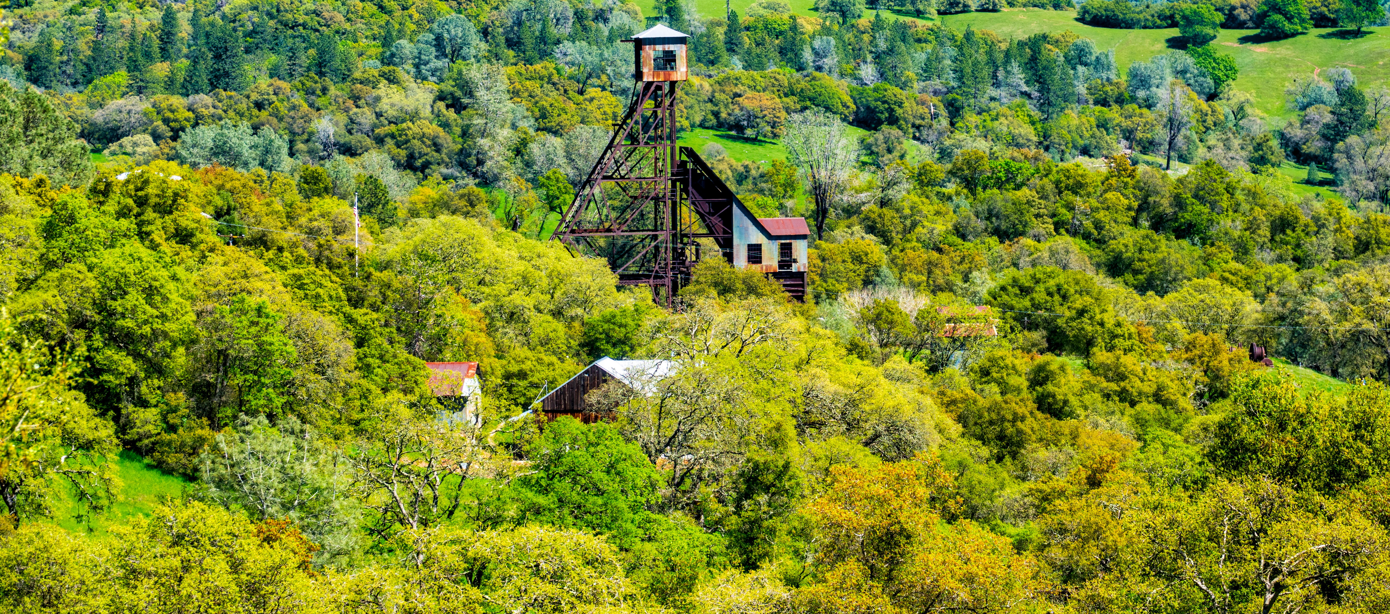
Old Kennedy Gold Mine Equipment HDR
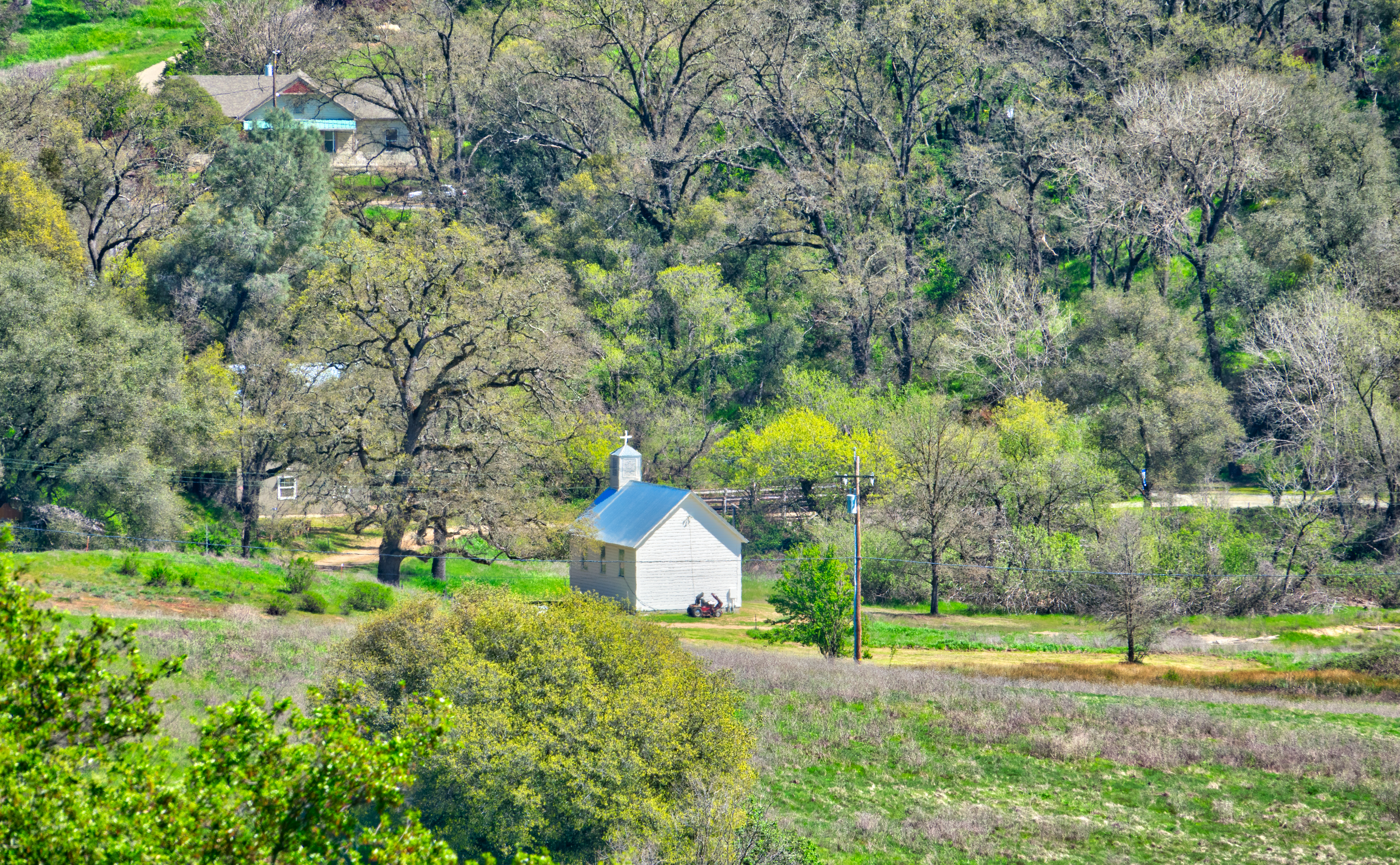
Little Church in the Sierra Nevada Foothills HDR
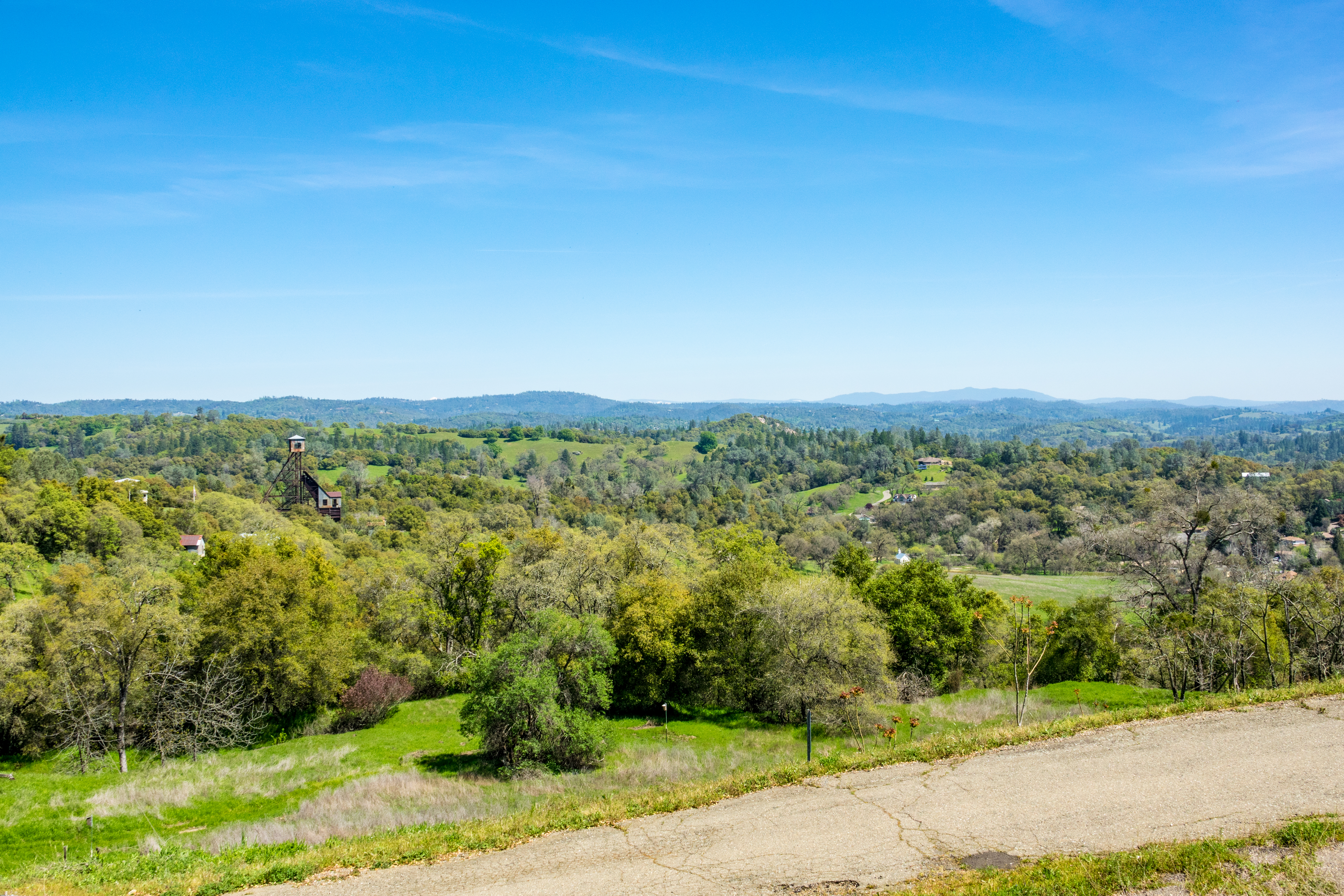
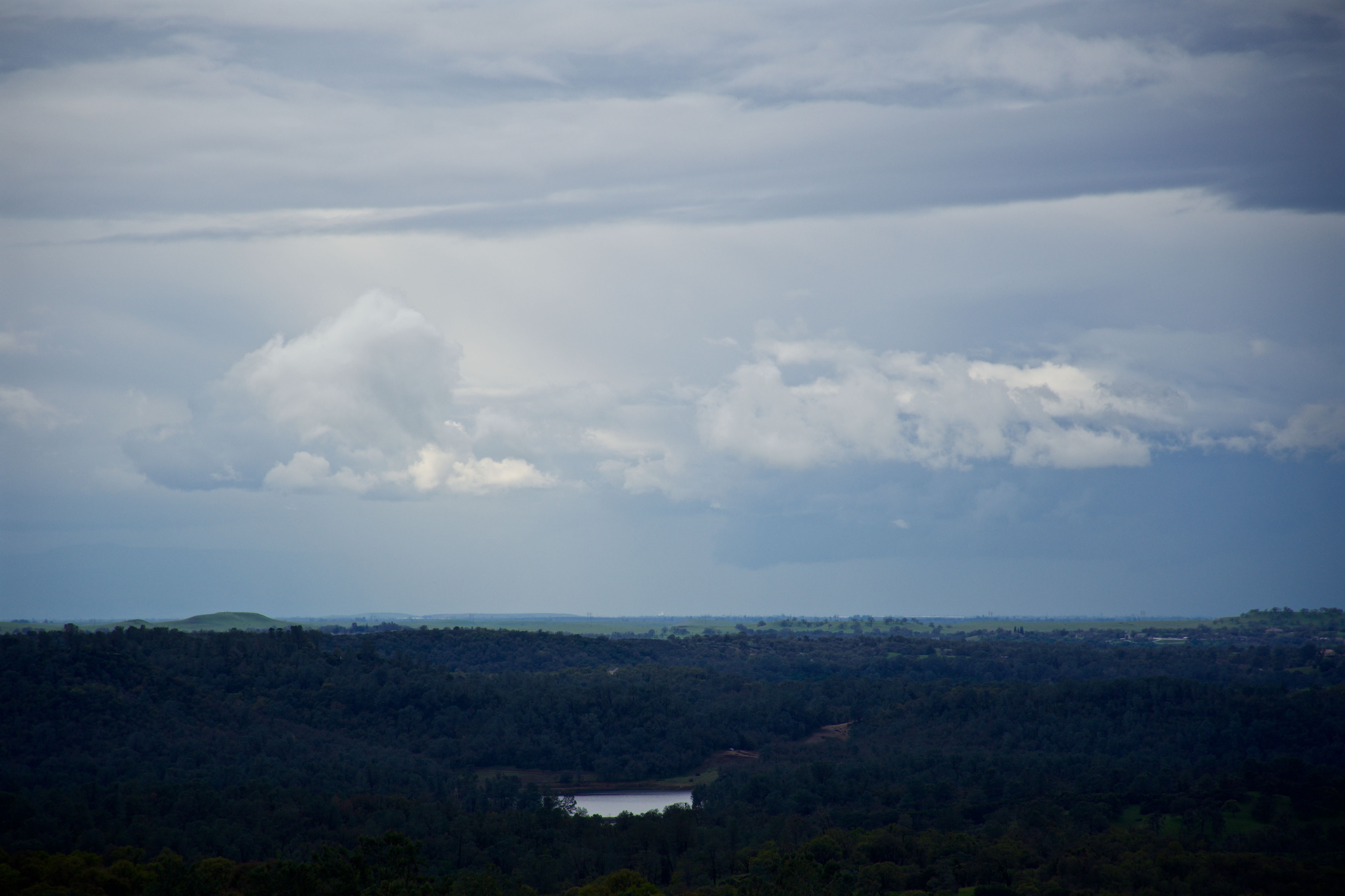
Looking east towards the mountains

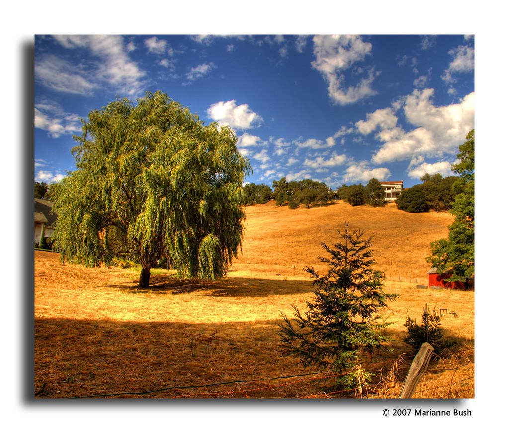
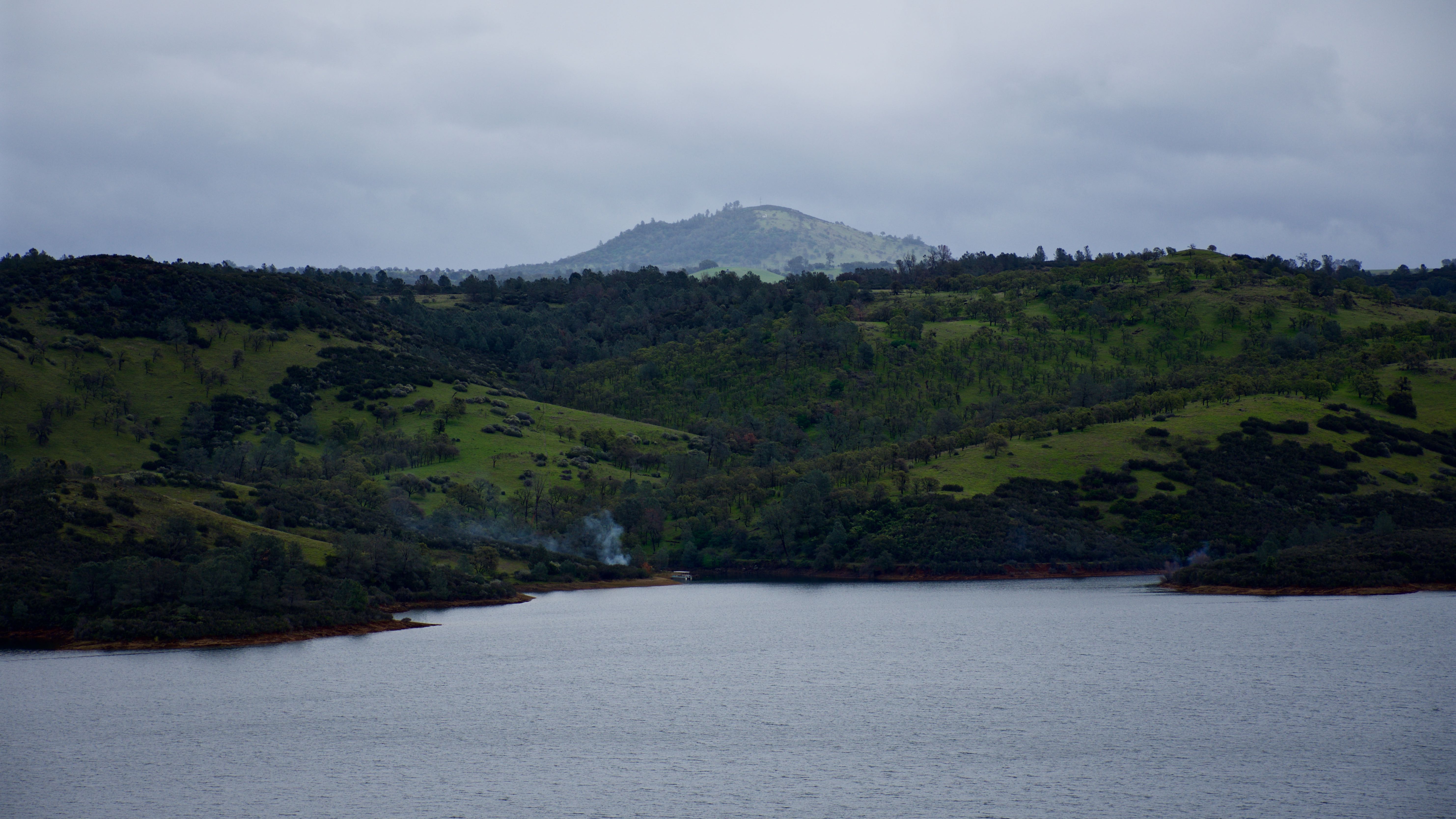
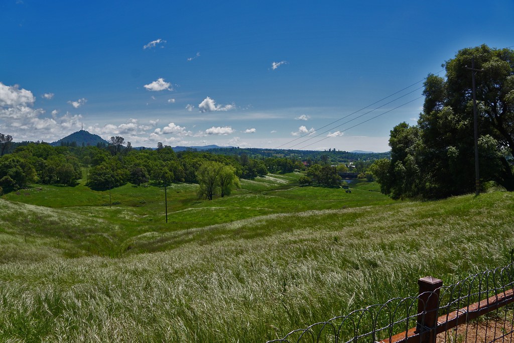
Sierra Nevada Foothills HDR
Old Kennedy Gold Mine Equipment HDR - Happy Sliders Sunday
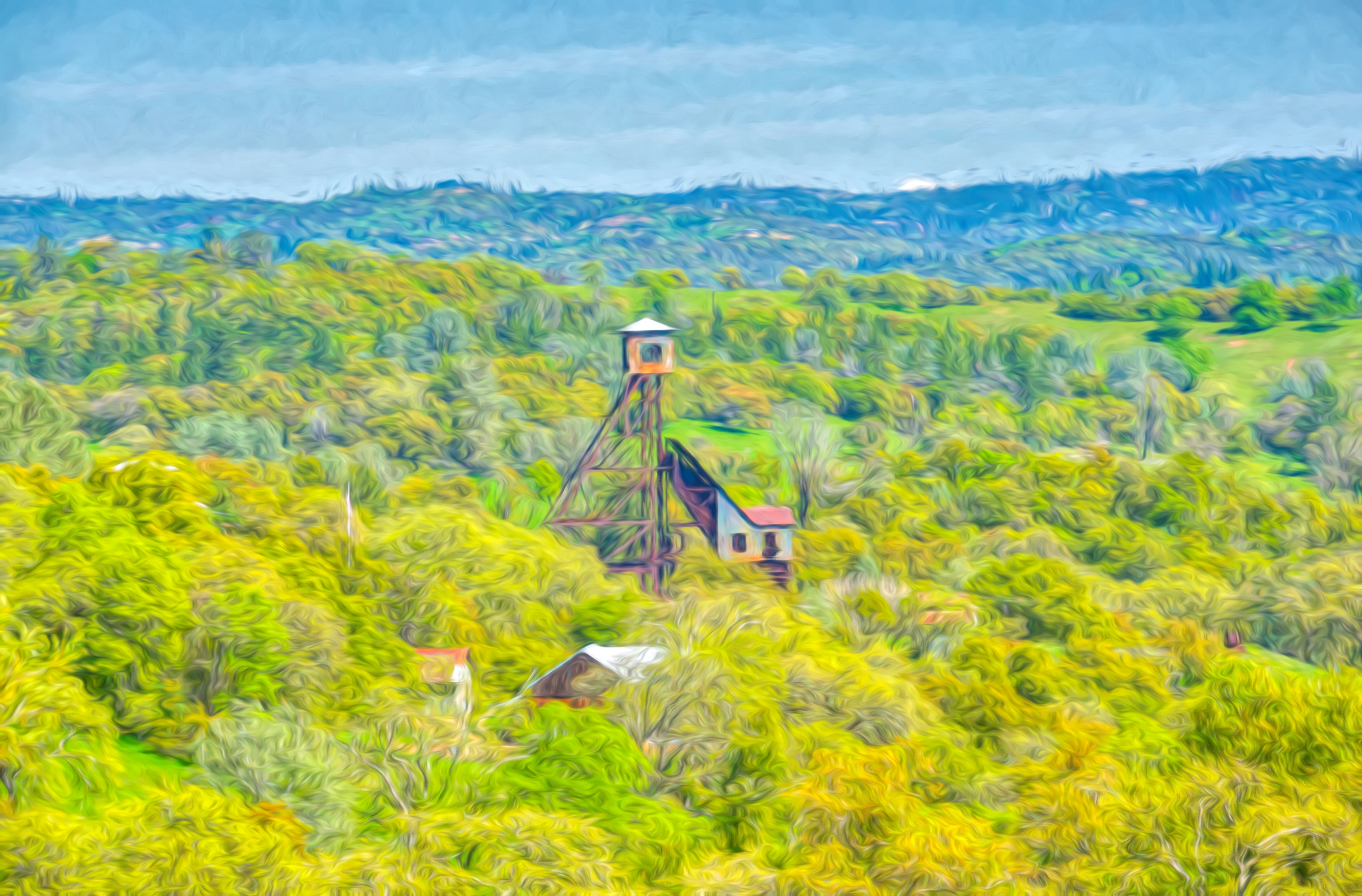
Digital watercolor Old Kennedy Gold Mine Equipment
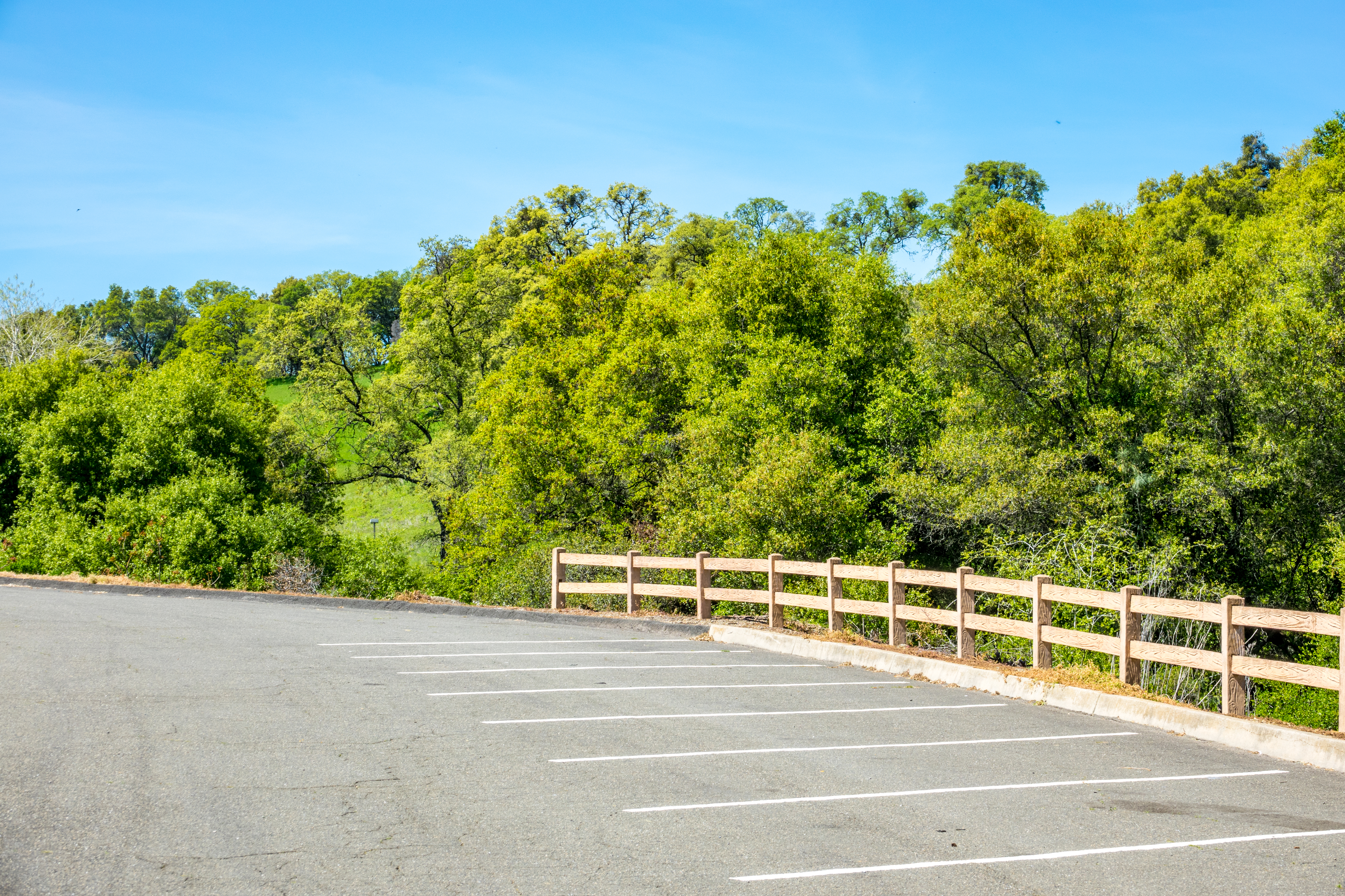
Happy Fence Friday
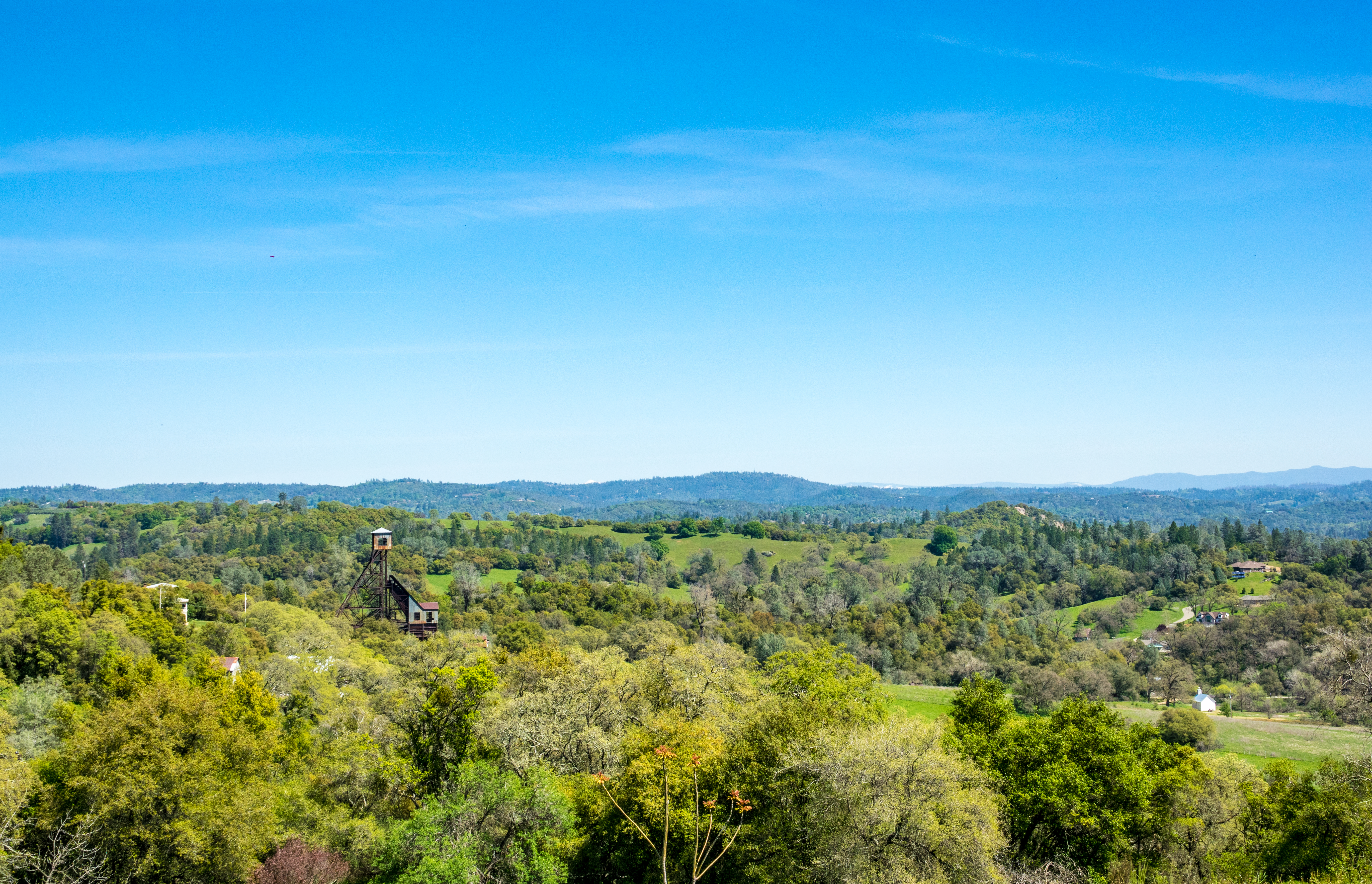
Looking east towards the mountains
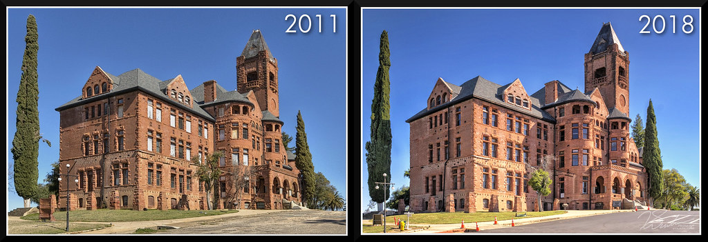
PrestonCastle-2011vs2018
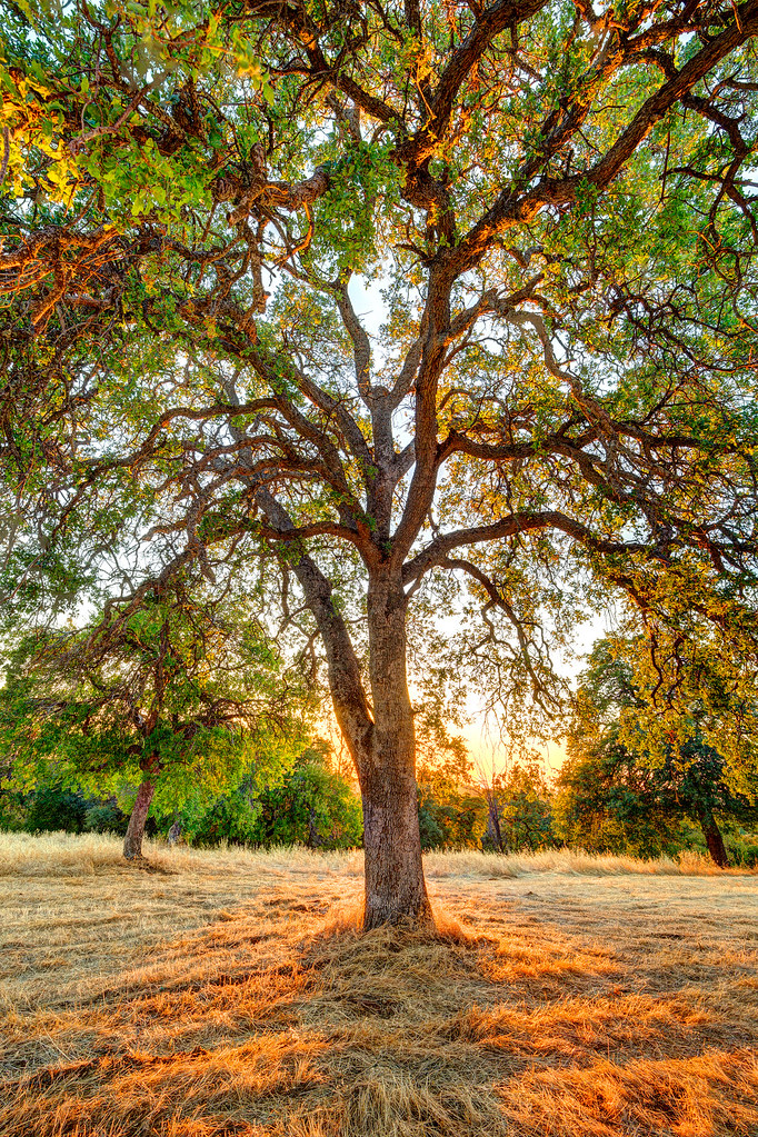
The Veins of an Oak at Sunset - Sutter Creek, CA
From Sutter Creek***
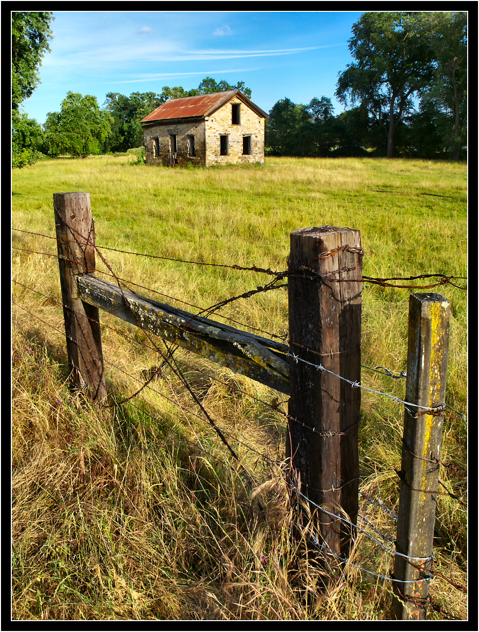
Abandoned Stone House
Sutter Gold Mine
DSC_0414-a1

IMG_0113-a2
IMG_0115-a3
IMG_0112-a1
DSC_0418-a4
DSC_0416-a3
DSC_0420-a6
DSC_0419-a5
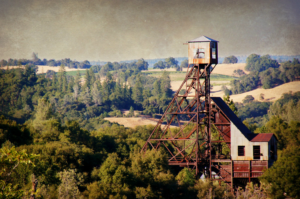
Kennedy Goldmine Headframe
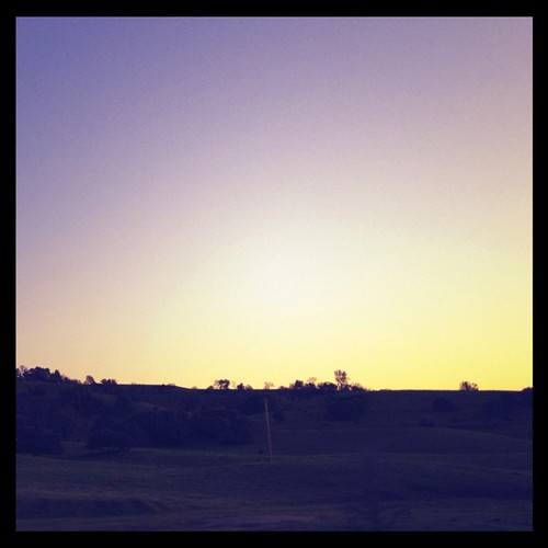
#california #sunset
Kennedy Mine Tailing Wheel Park
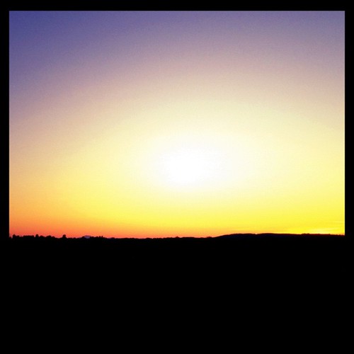
#sunset #california
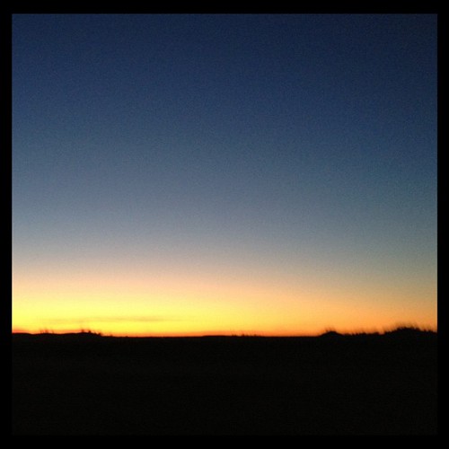
#california #sunset #nofilter
Electra Road
IMG_1156.JPG
Topographic Map of Stony Creek Road, Stony Creek Rd, California, USA
Find elevation by address:

Places near Stony Creek Road, Stony Creek Rd, California, USA:
China Gulch Road
Campo Seco Rd, Campo Seco, CA, USA
Campo Seco
Paloma Rd, Valley Springs, CA, USA
5349 Campo Seco Rd
7061 Ca-26
255 Oak St
Happy Valley Road
Valley Springs
Valley Springs
Valley Springs
Valley Springs
Valley Springs
Valley Springs
Valley Springs
Valley Springs
Valley Springs
Valley Springs
Valley Springs
Valley Springs
Recent Searches:
- Elevation of Bella Terra Blvd, Estero, FL, USA
- Elevation of Estates Loop, Priest River, ID, USA
- Elevation of Woodland Oak Pl, Thousand Oaks, CA, USA
- Elevation of Brownsdale Rd, Renfrew, PA, USA
- Elevation of Corcoran Ln, Suffolk, VA, USA
- Elevation of Mamala II, Sariaya, Quezon, Philippines
- Elevation of Sarangdanda, Nepal
- Elevation of 7 Waterfall Way, Tomball, TX, USA
- Elevation of SW 57th Ave, Portland, OR, USA
- Elevation of Crocker Dr, Vacaville, CA, USA