Elevation of Stoney Creek, NC, USA
Location: United States > North Carolina > Caswell County >
Longitude: -79.447885
Latitude: 36.293011
Elevation: 217m / 712feet
Barometric Pressure: 99KPa
Elevation Map:
Satellite Map:
Related Photos:
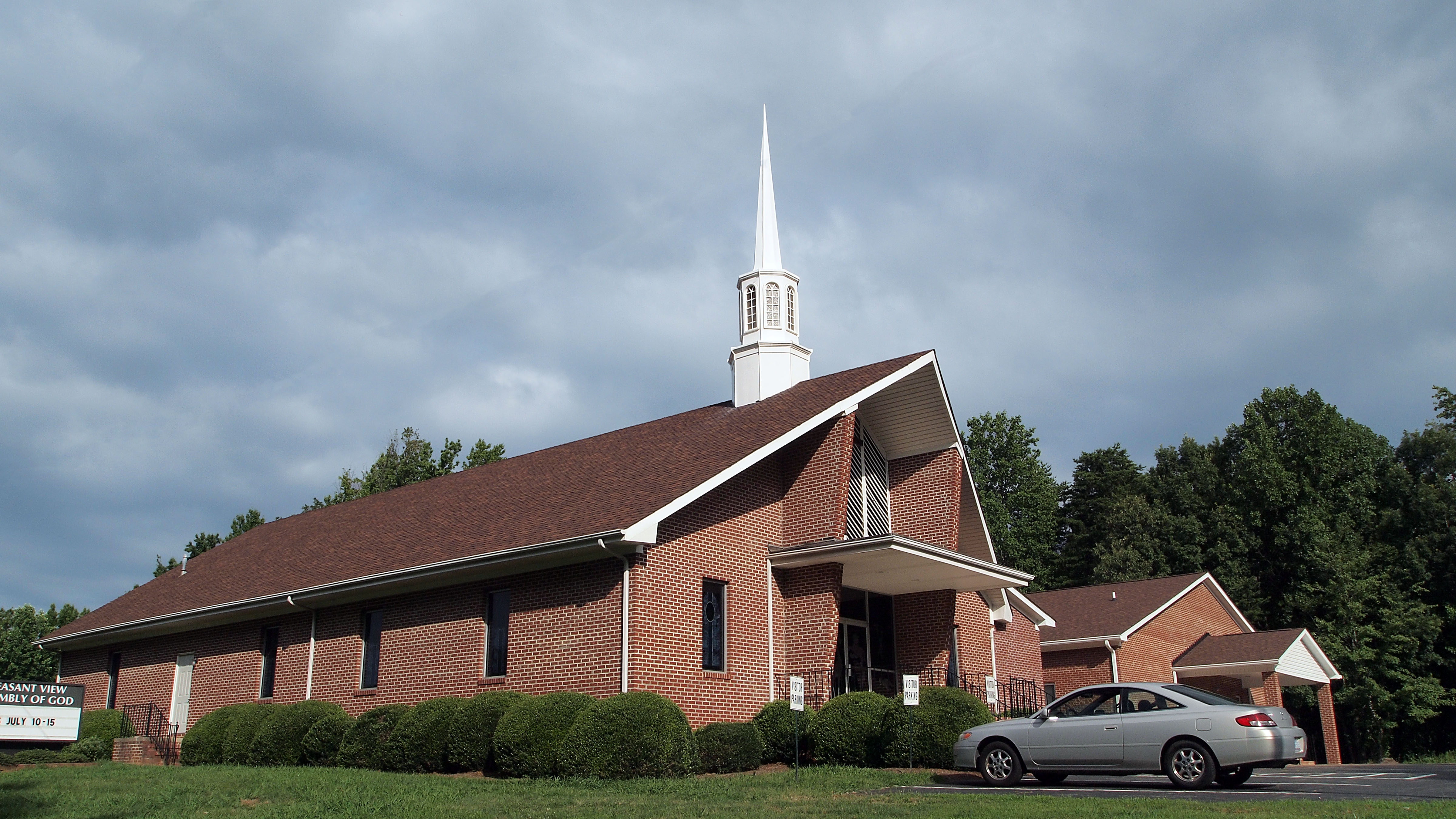
Pleasant View Assembly of God
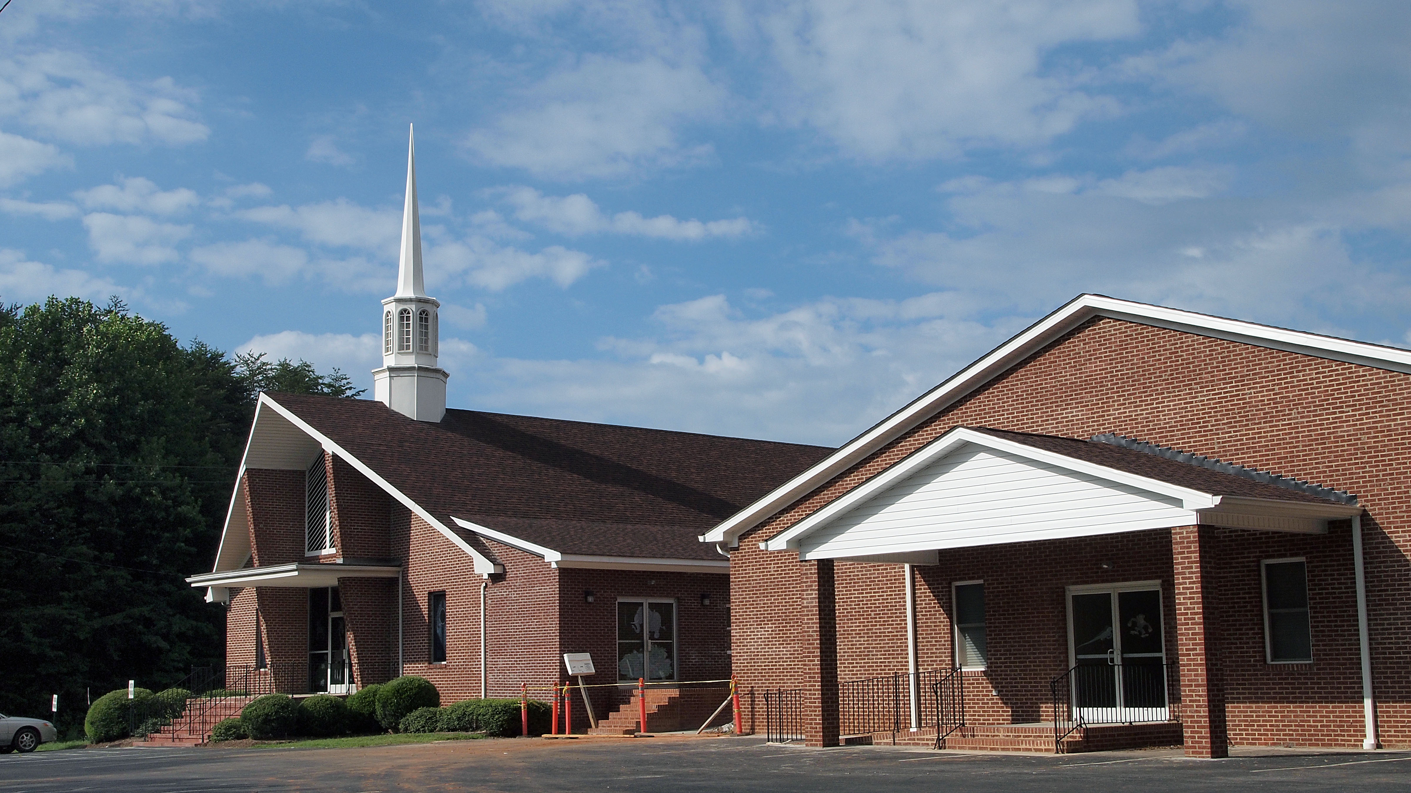
Pleasant View Assembly of God

Bell Tower on the Caswell County Courthouse Front View

Not enough heads in their business
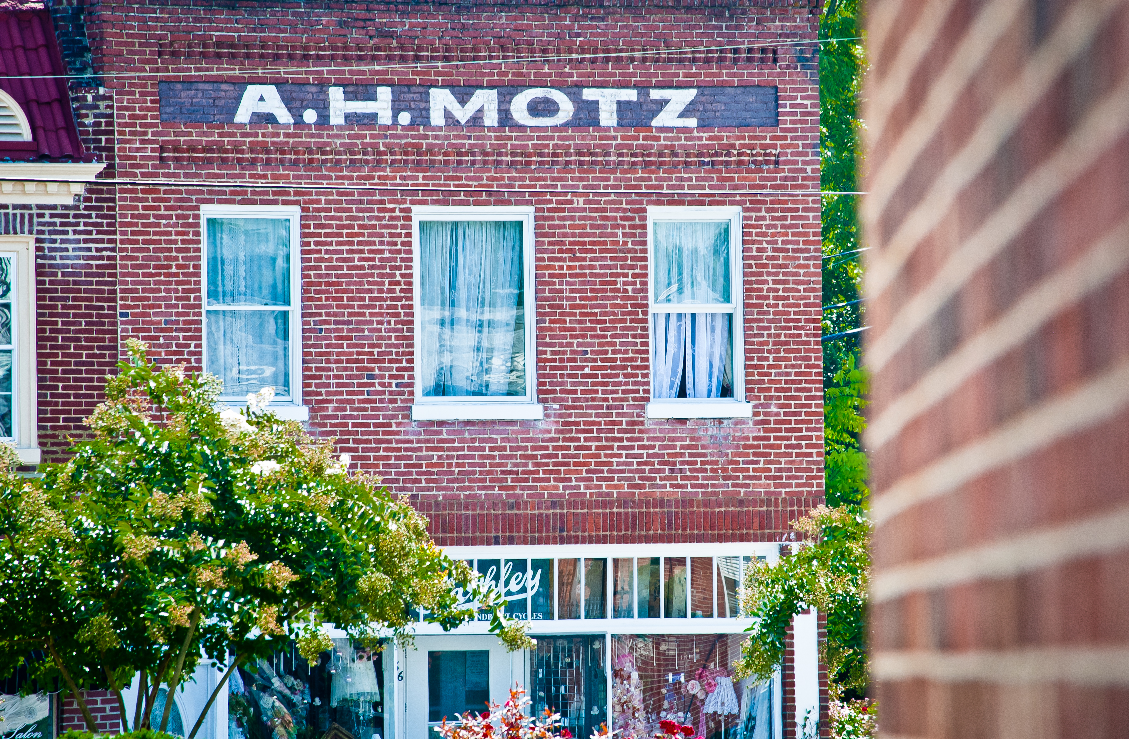
Yanceyville A. H. Motz
Shallow Ford #snapseed #formulasapp #mextures #ncnature #iphoneography #shallowford #hawriver #shallowfordtrails
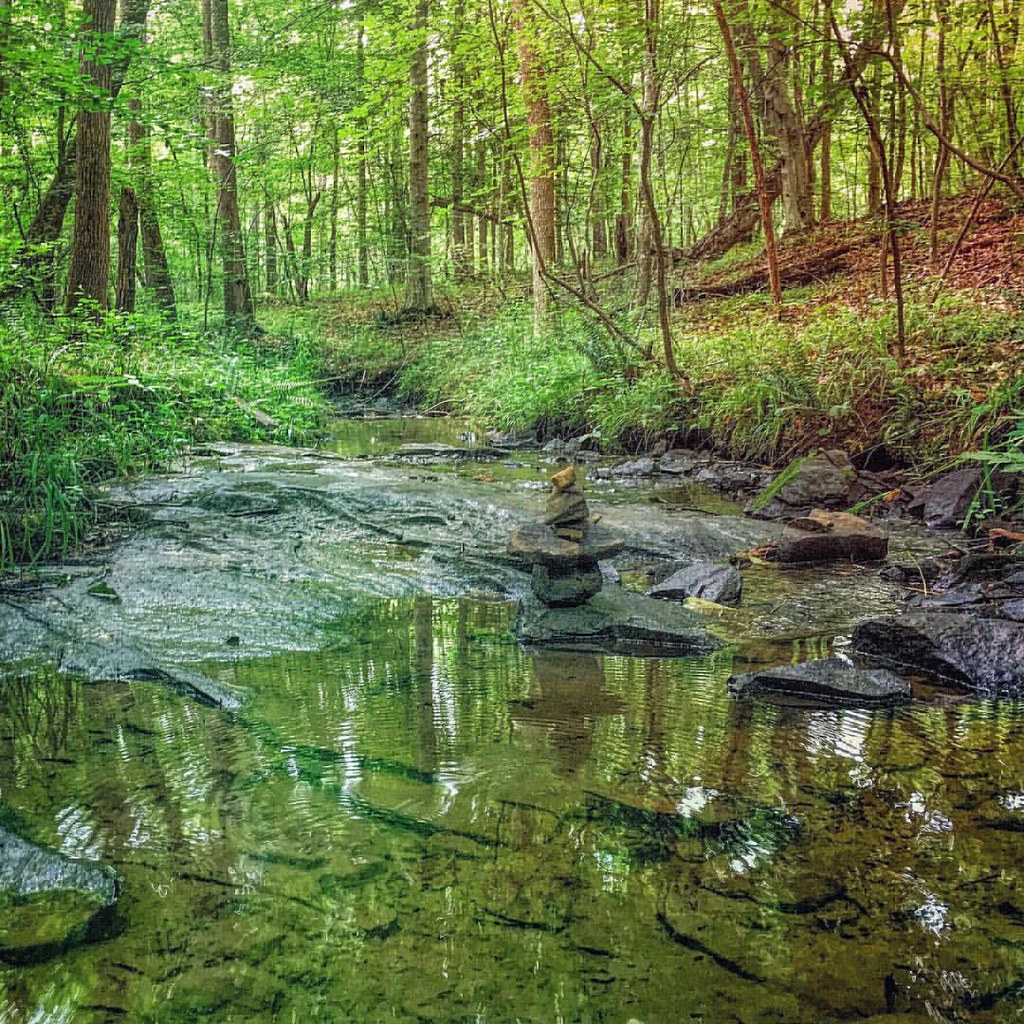
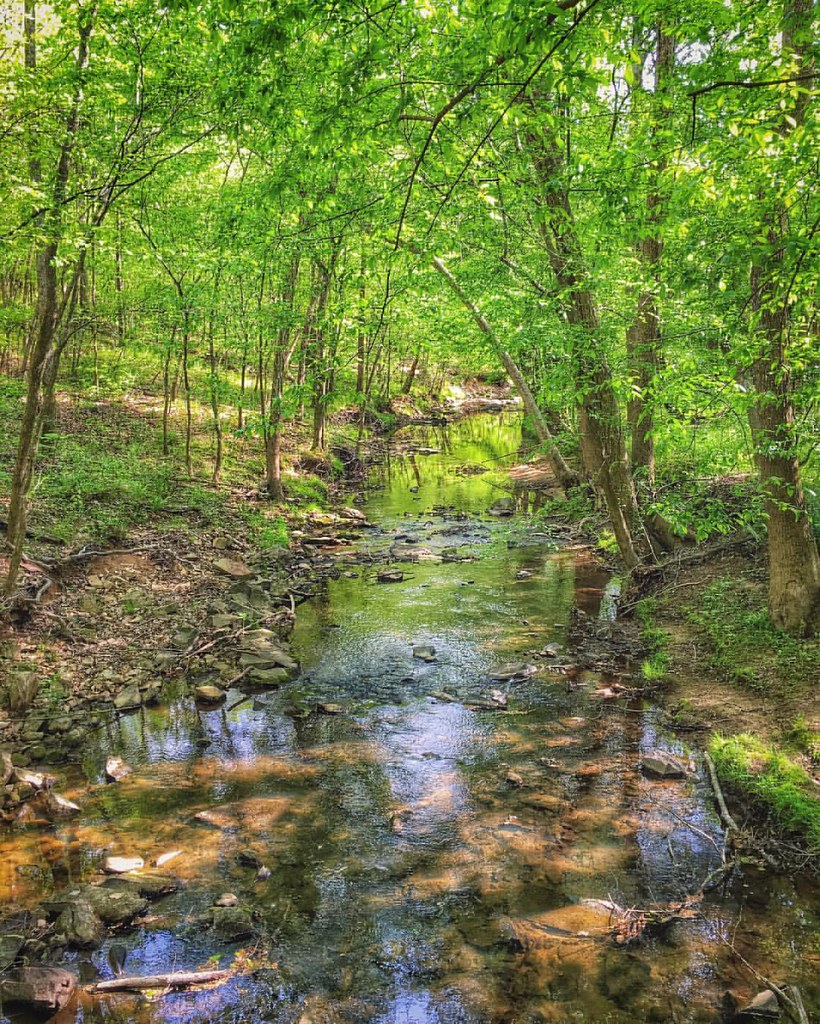
Zen Stones Of Basin Creek #iphonephotography #basincreek #shallowfordnaturalarea #northcarolina #northcarolinanature #creek #creekside #zenstones #snapseed #relightapp #sploreapp #splore #pixelpanda #rsa_nature #rsa_naturepics #rsa_landscape #rsa_water
Earth Day: Filter Not Required

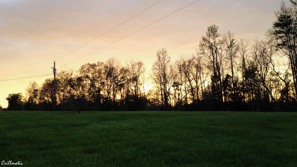
Elon, NC Landscape
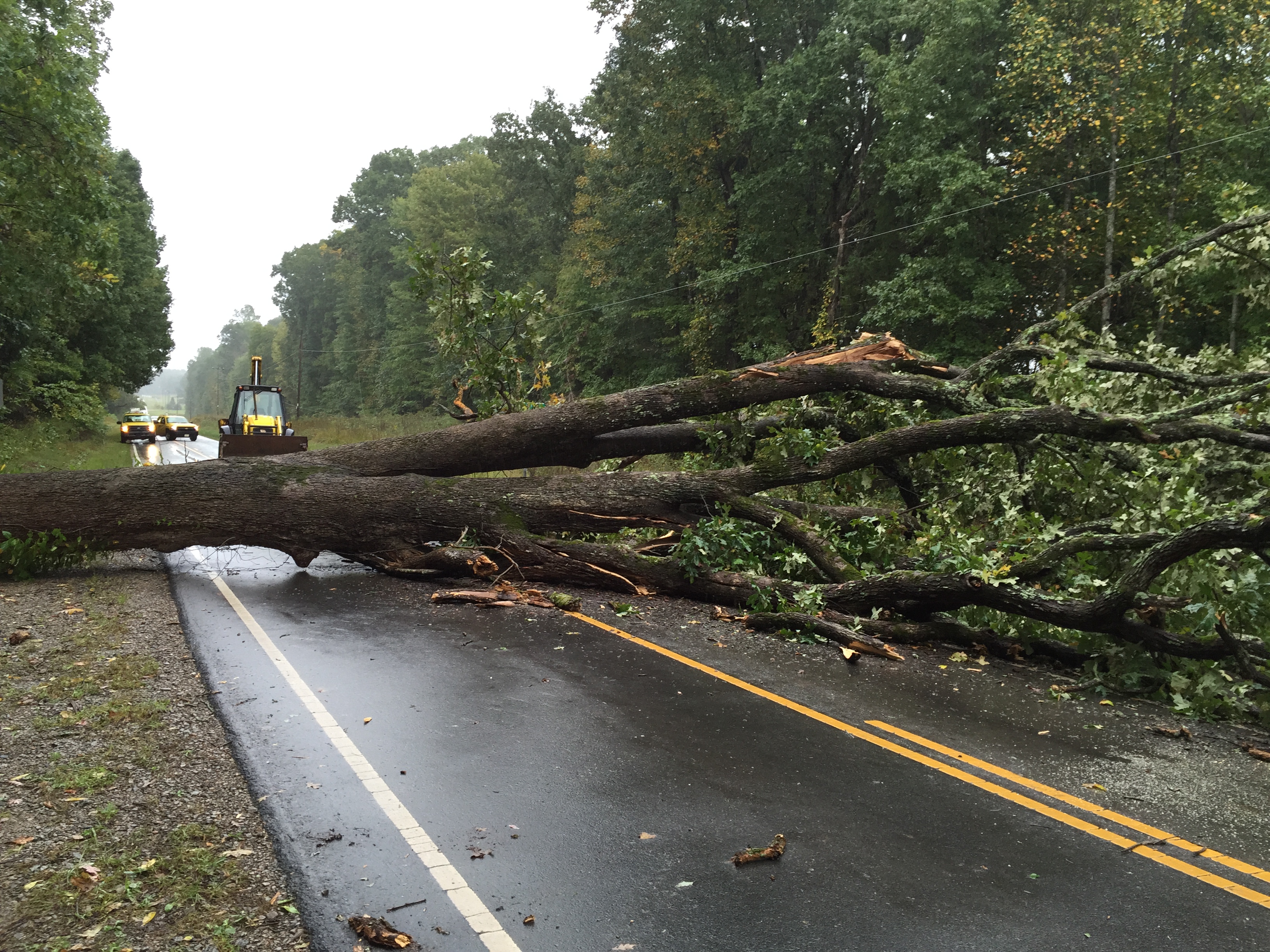
NC 150 10-2-15
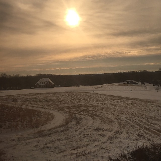
Waking up on the train
Topographic Map of Stoney Creek, NC, USA
Find elevation by address:

Places near Stoney Creek, NC, USA:
3601 Cherry Grove Rd
Cherry Grove Rd, Reidsville, NC, USA
383 Wade Gwynn Rd
1614 Rice Rd
NC-, Reidsville, NC, USA
Locust Hill
5818 Stoney Mountain Rd
6343 Union Ridge Rd
4, Morton
Cherokee Scout Reservation
172 Gunn Ln
371 County Line Rd
Locust Hill
5, Faucette
161 County Line Rd
Ushy W, Ruffin, NC, USA
3401 Altamahaw Racetrack Rd
599 Lake Pointe Dr
Allison Rd, Ruffin, NC, USA
Highrock Grove Baptist Church
Recent Searches:
- Elevation of Beall Road, Beall Rd, Florida, USA
- Elevation of Leguwa, Nepal
- Elevation of County Rd, Enterprise, AL, USA
- Elevation of Kolchuginsky District, Vladimir Oblast, Russia
- Elevation of Shustino, Vladimir Oblast, Russia
- Elevation of Lampiasi St, Sarasota, FL, USA
- Elevation of Elwyn Dr, Roanoke Rapids, NC, USA
- Elevation of Congressional Dr, Stevensville, MD, USA
- Elevation of Bellview Rd, McLean, VA, USA
- Elevation of Stage Island Rd, Chatham, MA, USA