Elevation of Sto. Nino Elementary School, Davao - Arakan Valley Rd, Arakan, Cotabato, Philippines
Location: Philippines > Davao Region > Arakan >
Longitude: 125.171785
Latitude: 7.3398023
Elevation: 535m / 1755feet
Barometric Pressure: 95KPa
Elevation Map:
Satellite Map:
Related Photos:

#LAP #camerastoday #vscocam #vsco #vscogrid #vscographer #canon #canonph #5dmarkiii
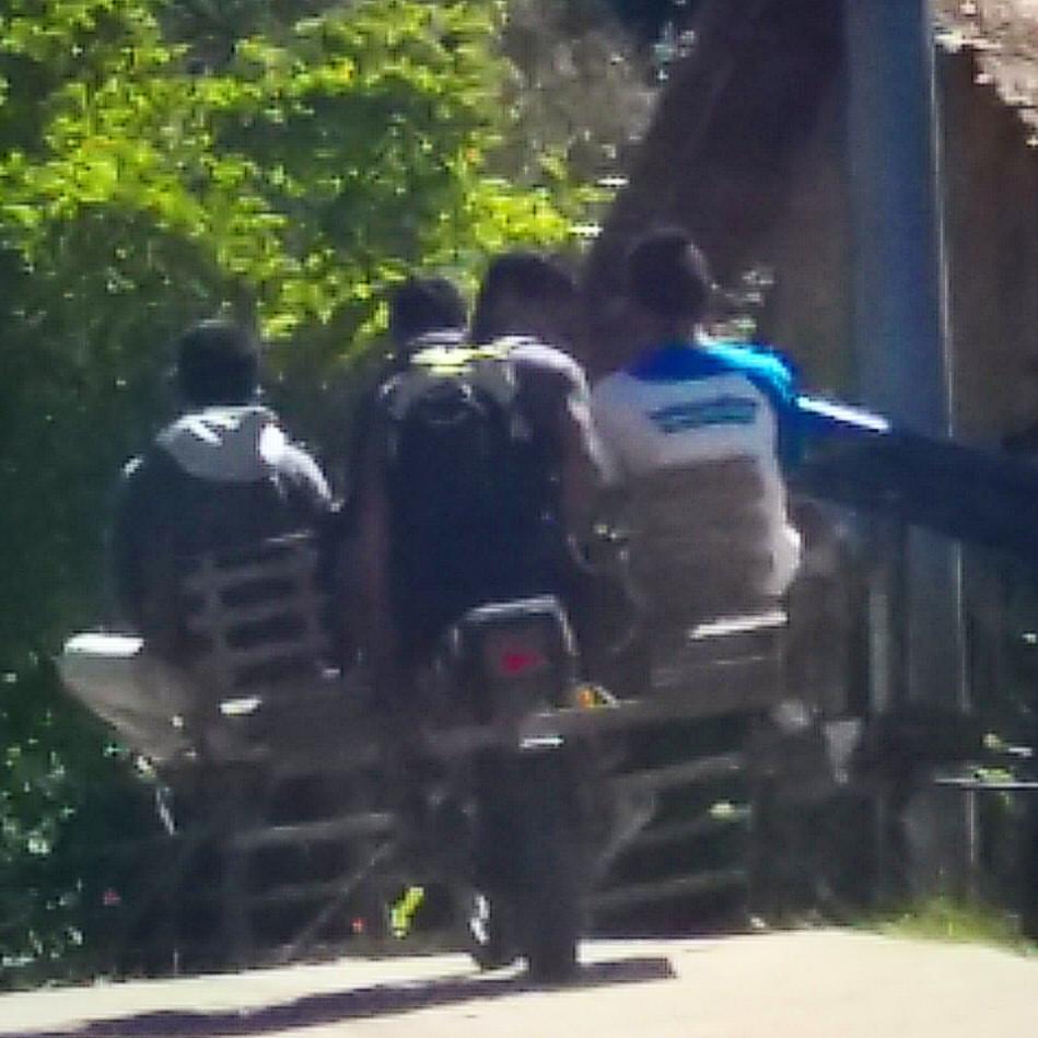
Habal habal ride for 3 persons ???? #whenindavao #habalhabal #davaobukidnon #traveltosomewhere #travels

Rural Tours 2827

Rural Tours 2832 Hino RK
????
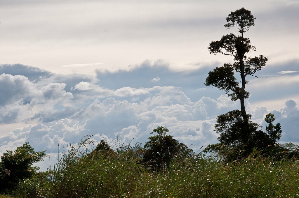
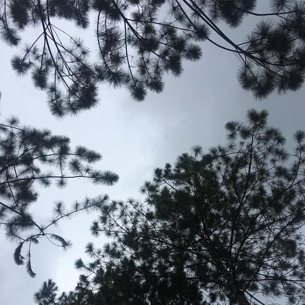
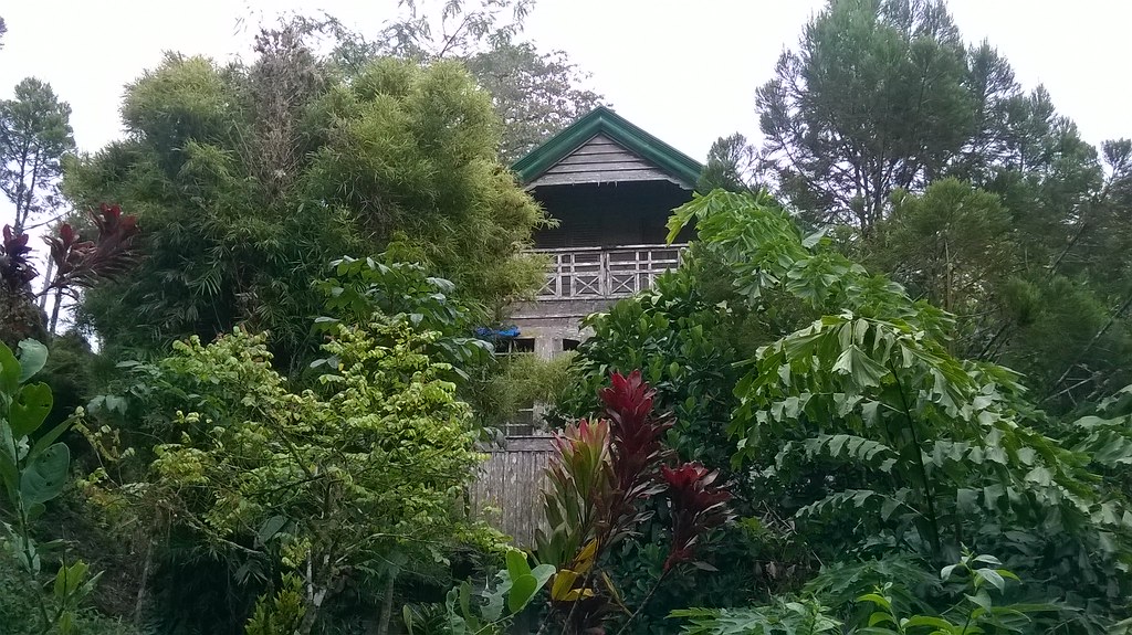
Top of the world?

MS Lumia 535
MS Lumia 535

MS Lumia 535

MS Lumia 535

MS Lumia 535

MS Lumia 535

MS Lumia 535

MS Lumia 535

MS Lumia 535

MS Lumia 535

20101001-SDC14396
Topographic Map of Sto. Nino Elementary School, Davao - Arakan Valley Rd, Arakan, Cotabato, Philippines
Find elevation by address:

Places near Sto. Nino Elementary School, Davao - Arakan Valley Rd, Arakan, Cotabato, Philippines:
Lanao Kuran
Sitio - Sabangan Road
Lanao Kuran Barangay Hall
San Miguel Elementary School
Pamuhatan Primary School
Magsaysay
Mont D' Johan Nature Resort
Bob's Sea Of Clouds View Deck
Balite Elementary School
Gk Sibol Upper Kibalang Day Care Center
Salaysay
Crossing Quimasog
Marilog District
Nangalid Primary School
Salaysay Elementary School
Datu Salumay Elementary School
Taga-ibo Elementary School
Malakeba Primary School
Bantol Elementary School
Suawan
Recent Searches:
- Elevation of 35 Governors Ln, Hilton Head Island, SC, USA
- Elevation of Orangevale, CA, USA
- Elevation of Doe Cir, Clinton, OH, USA
- Elevation of Narhe, Pune, Maharashtra, India
- Elevation of Martins Mill Ct, Eagle Rock, NC, USA
- Elevation of Kippen, Stirling FK8, UK
- Elevation of Sieveringer Straße, Sieveringer Str., Wien, Austria
- Elevation of Bratskaya Ulitsa, 24, Kurgan, Kurganskaya oblast', Russia
- Elevation of Paradisvegen, Biri, Norway
- Elevation of Crystal Cir, Birmingham, AL, USA