Elevation of Stevenson Ranch, CA, USA
Location: United States > California >
Longitude: -118.59075
Latitude: 34.3931105
Elevation: 488m / 1601feet
Barometric Pressure: 96KPa
Elevation Map:
Satellite Map:
Related Photos:

"i am always wandering around in enigmas." -m.c. escher
Palying with the Discovery!
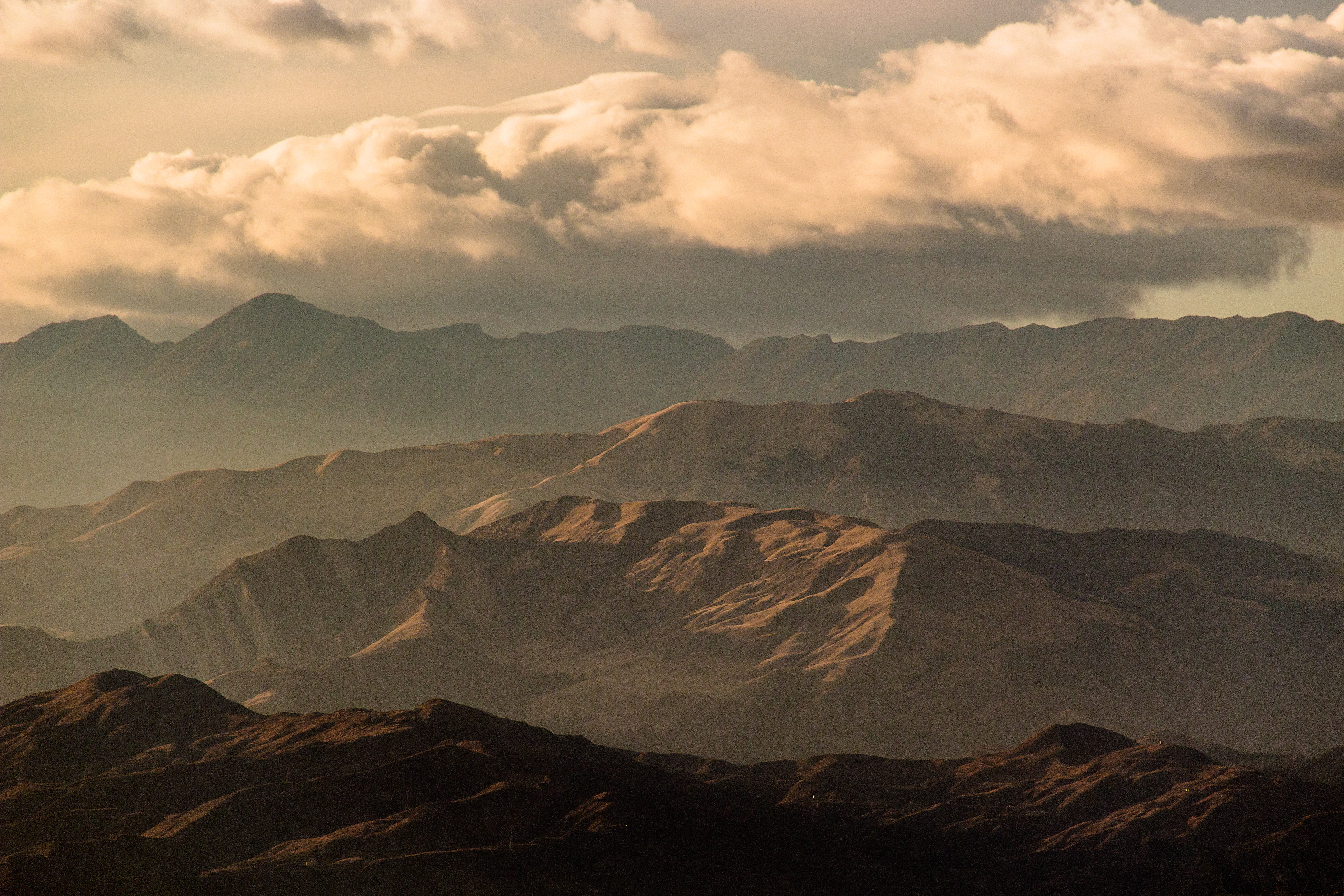
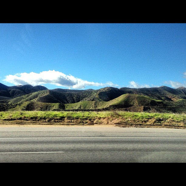
View from #Tapia canyon #mountain
Wild Mountain Honey

Here to watch the USC game, but I'm mesmerized by the view
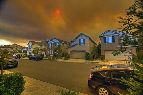
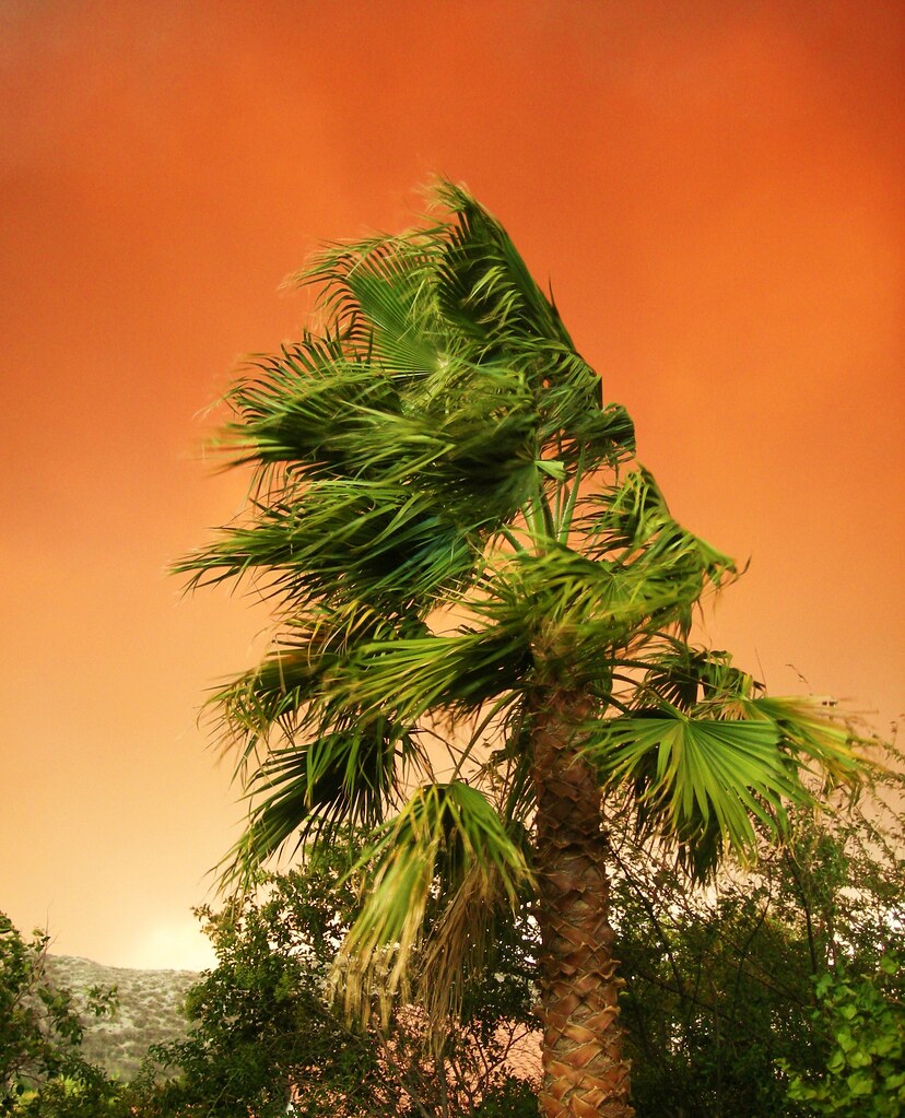
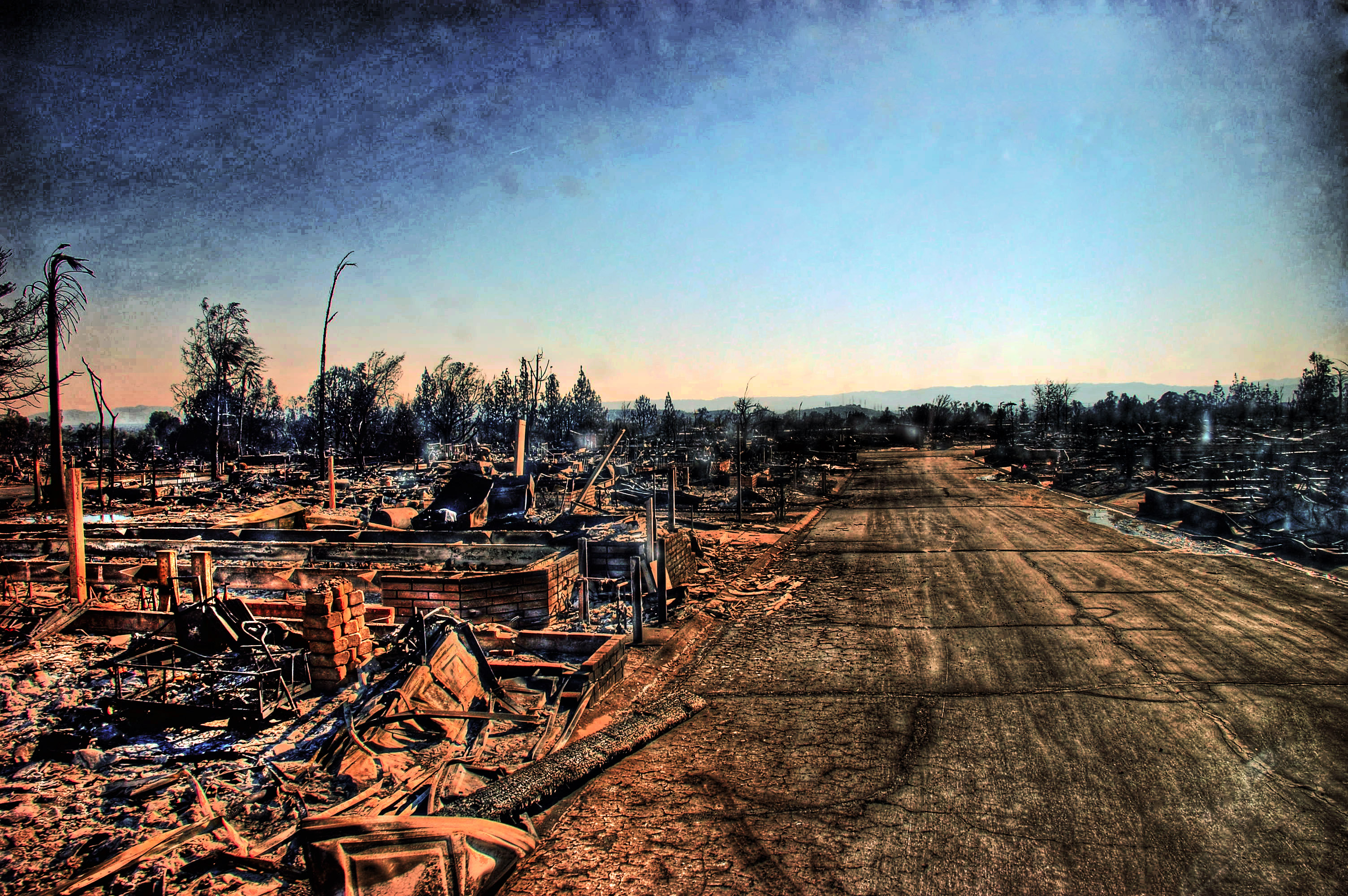
Canyon Country Fire, Santa Clarita, California

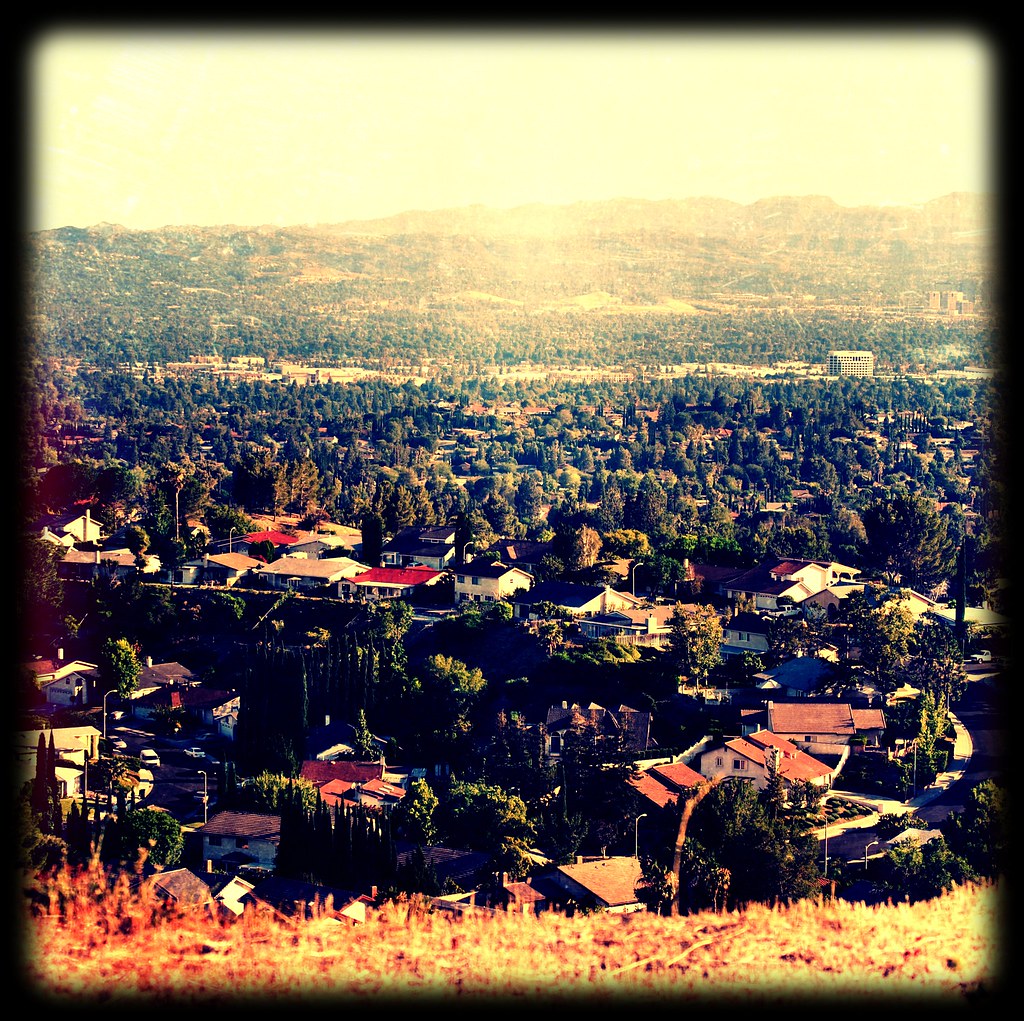
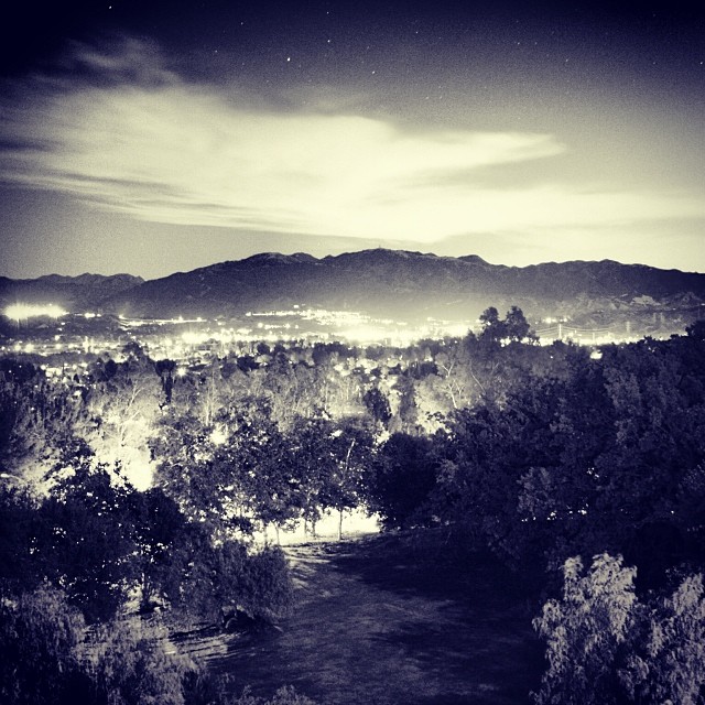
down to LA smog
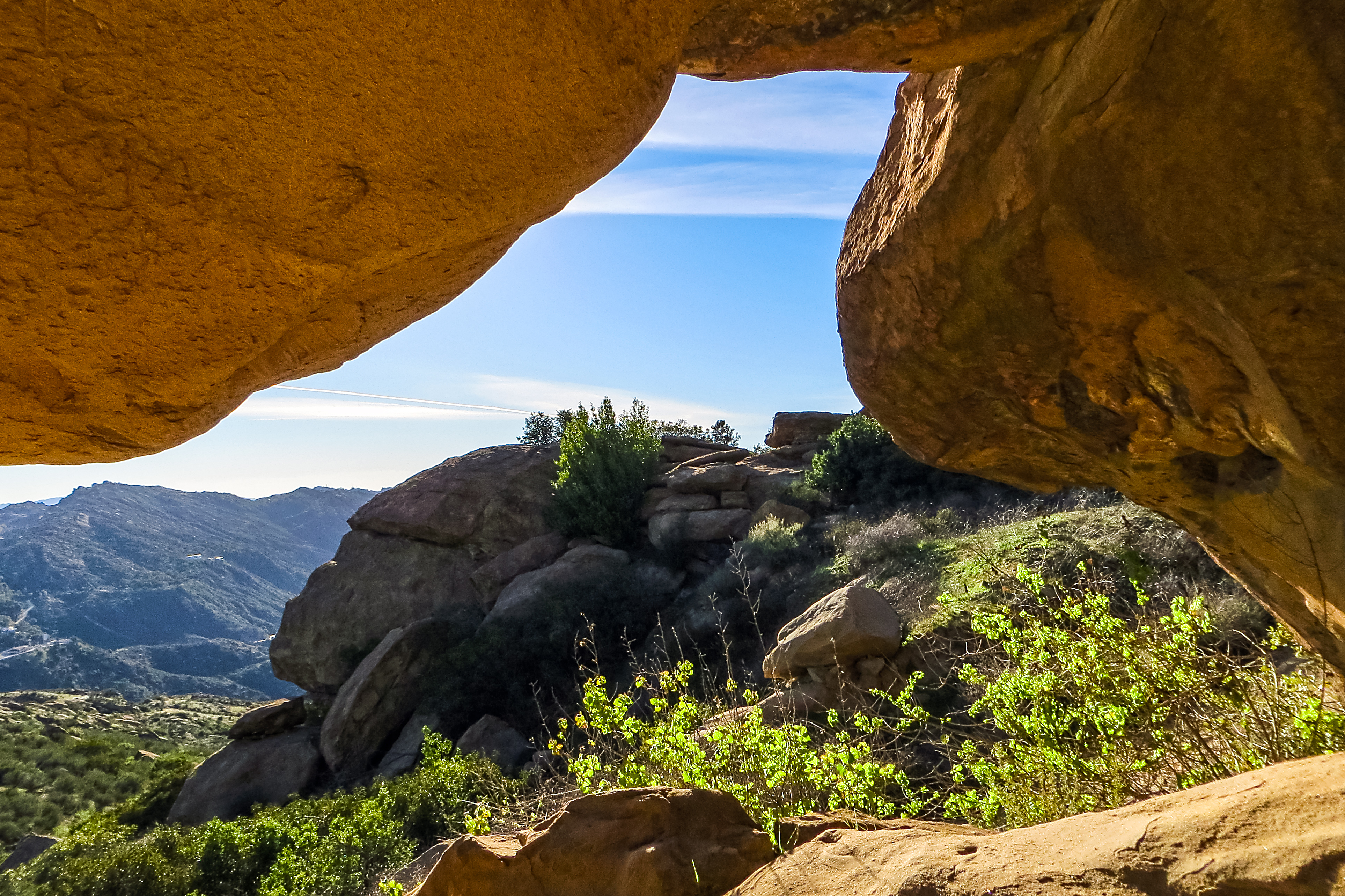
Alcove View
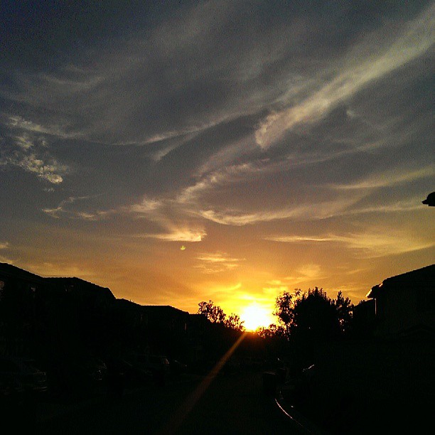
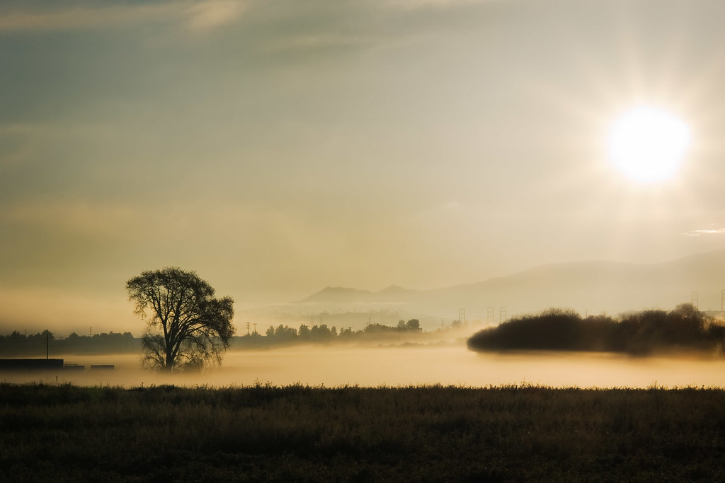
#sunrise #series #valencia #view from window good saturday #morning
Santa Clarita, California. 10.21.07.

my way to work
"the safe way to go and the sure way to get there" | sylmar, ca

Down Town L. A. From Oat Mountain

I has no name.

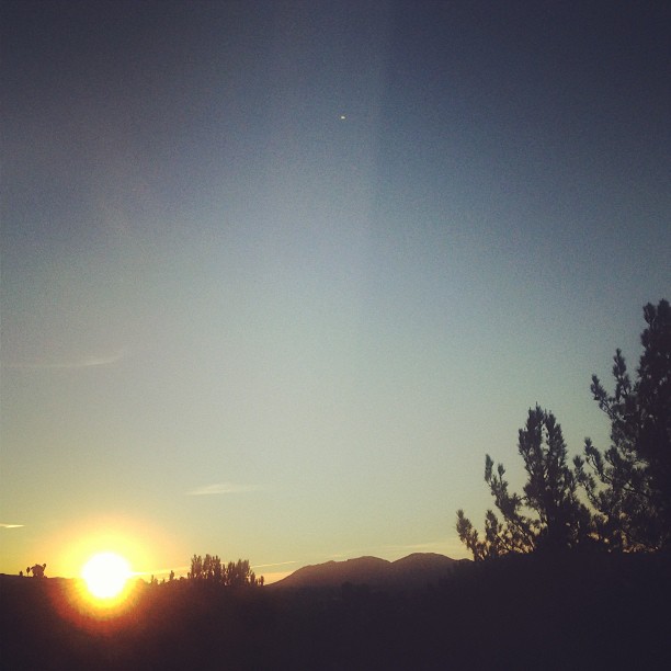
Saturday morning #sunrise view from the bedroom
Lifestyles | Northridge, CA | Palisades Park View

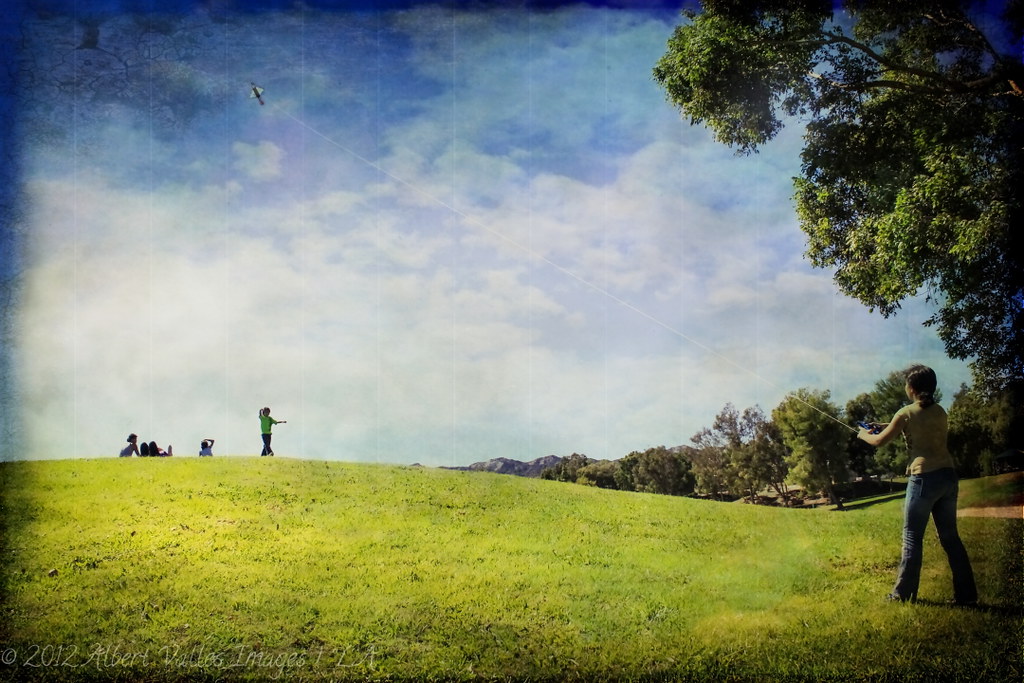
#perspective #view of #kidsplay #persol
One more awesome #sunrise view
No Barrel Racin' today... just rain!
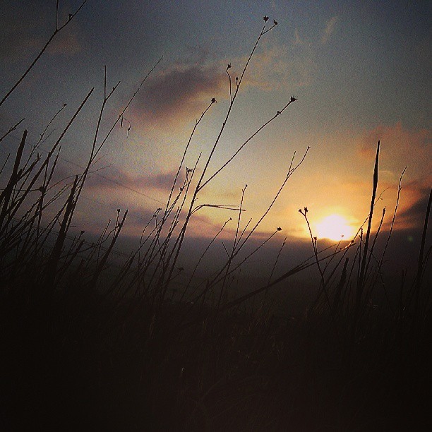
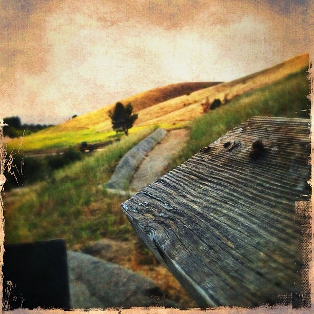
#sunrise view on my morning #trail #run to #Tapia Canyon

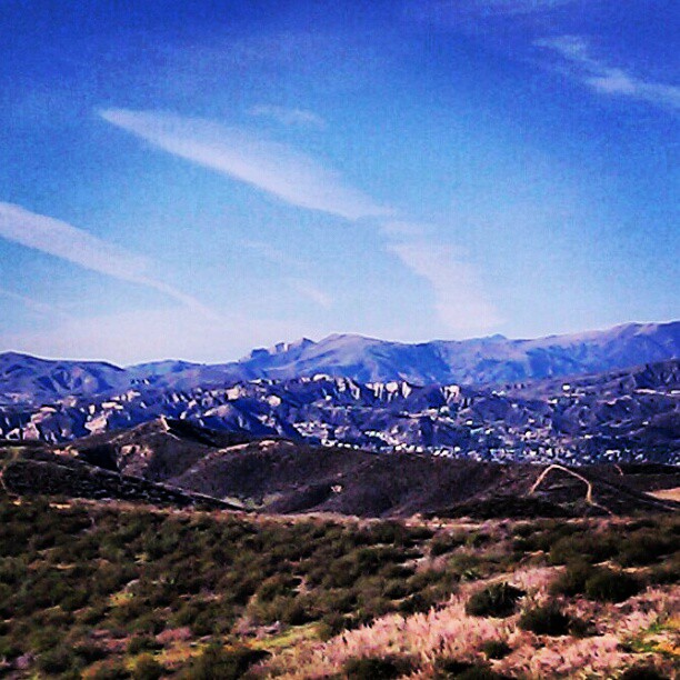
Beautiful #mountain view #mtb
There's so much to know

That Obdurate Morning
DAY 170

San Diego, CA Monochrome
iPhone Hiking
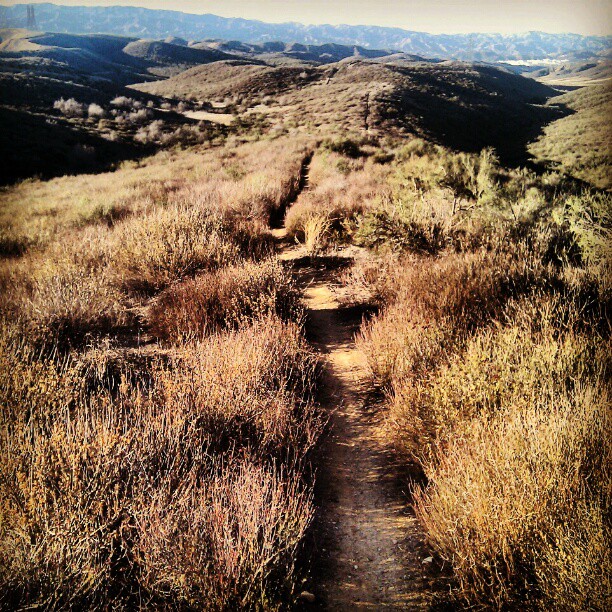
Hitting up the second peak on Upper G-Out into G-Out at #Tapia #mtb #mountain #bike #trail #sunrise
On the other side
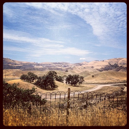
#sky #hills #fence #nature #landscape #california #iphoneonly
"...And I have learned to live, as it were, with the idea that I will never find peace and happiness, either. But as long as I know there's a pretty good chance I can get my hands on either one of them every once in a while, I do the best I can between hi

Morning #mountain #bike #ride
The Corners of the Evening

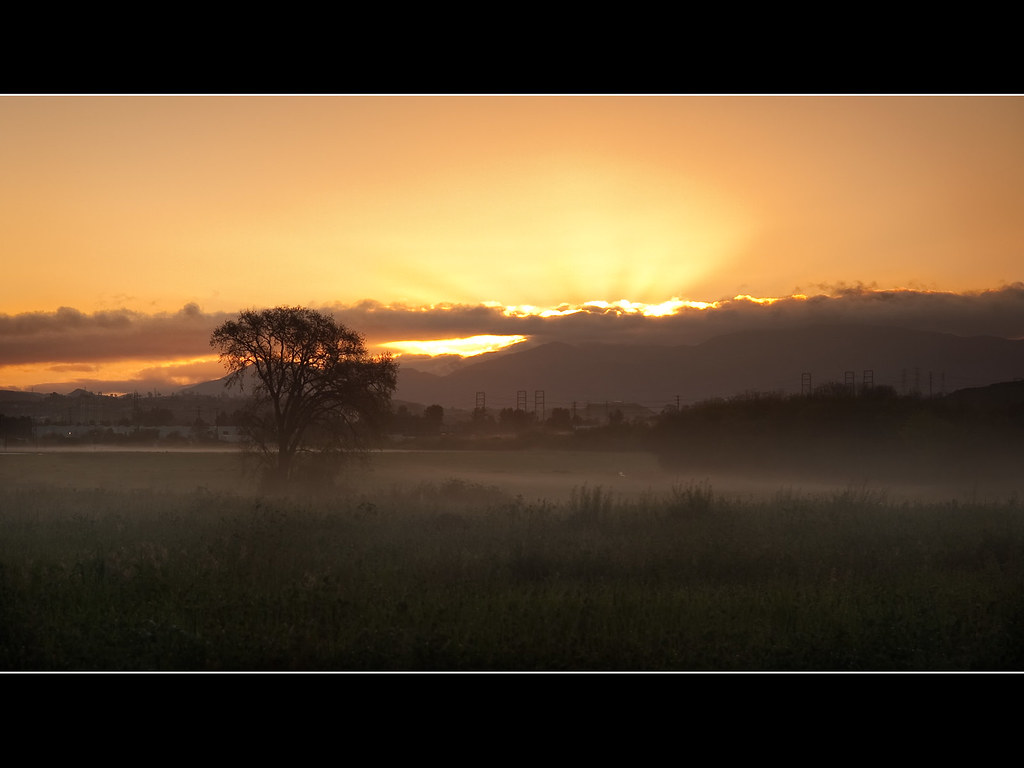
Thanksgiving Sunrise at Haskell Canyon Open Space

Reminds me of a Bodhi tree. (I know it's an Oak tree)
Untitled... #hipstamatic #hipstaroll #hipstamaticaddicts #hipstagraphy #losangeles #igersla #teg #jj #ink361 #instagramhub #instacool #landscape #landscapes
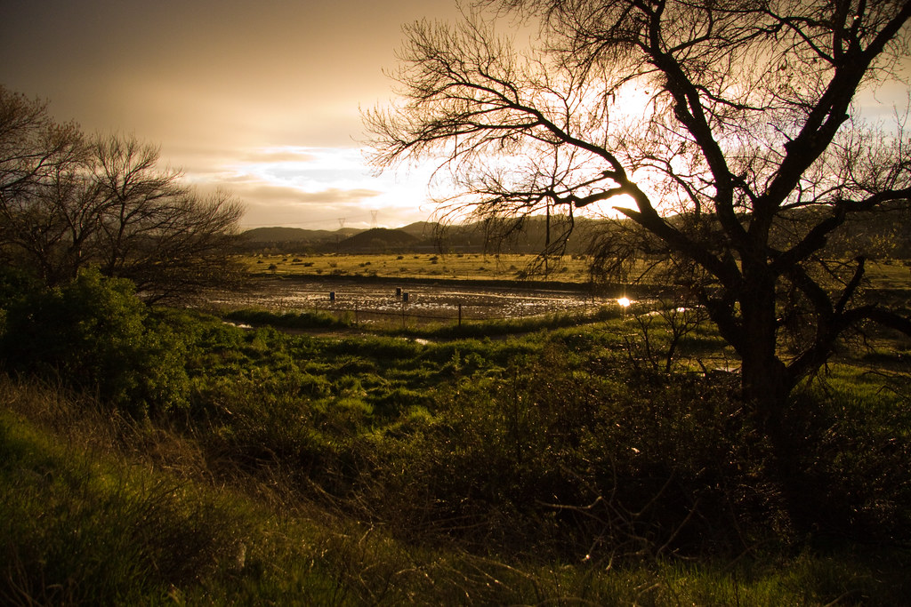
Fallow Field
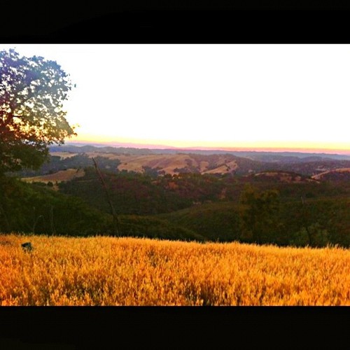
Vineyard Mountain Ranch

Great Expanse

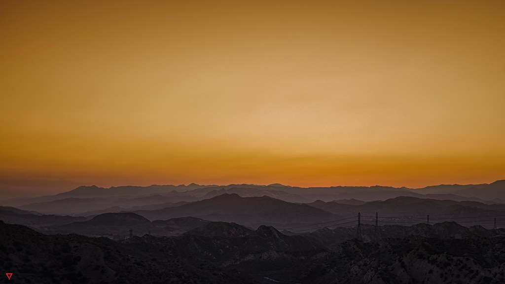
Sunrise over the Grapevine, near Los Angeles
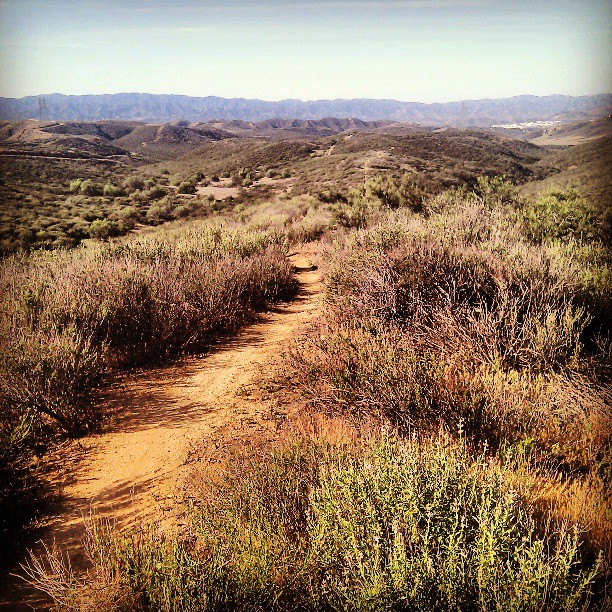
Ready to rip it up. #mtb #mountain #bike #Tapia
Topographic Map of Stevenson Ranch, CA, USA
Find elevation by address:

Places in Stevenson Ranch, CA, USA:
Places near Stevenson Ranch, CA, USA:
26072 Tennyson Ln
25524 Longfellow Pl
25305 Joyce Pl
25404 Chisom Ln
25315 Keats Ln
25335 Dove Ln
26543 Boulder Crest Dr
26958 Granite Ridge Ct
Smoketree Lane
24979 Constitution Ave
25623 Morning Mist Dr
27022 Pebble Beach Dr
27175 Cedar Ridge Pl
25416 Eagle Ln
27258 Valderrama Dr
Mentryville Park
24524 Mcbean Pkwy
24402 Hampton Dr
25129 The Old Rd
Six Flags Magic Mountain
Recent Searches:
- Elevation of Steadfast Ct, Daphne, AL, USA
- Elevation of Lagasgasan, X+CQH, Tiaong, Quezon, Philippines
- Elevation of Rojo Ct, Atascadero, CA, USA
- Elevation of Flagstaff Drive, Flagstaff Dr, North Carolina, USA
- Elevation of Avery Ln, Lakeland, FL, USA
- Elevation of Woolwine, VA, USA
- Elevation of Lumagwas Diversified Farmers Multi-Purpose Cooperative, Lumagwas, Adtuyon, RV32+MH7, Pangantucan, Bukidnon, Philippines
- Elevation of Homestead Ridge, New Braunfels, TX, USA
- Elevation of Orchard Road, Orchard Rd, Marlborough, NY, USA
- Elevation of 12 Hutchinson Woods Dr, Fletcher, NC, USA