Elevation of Stephensport, KY, USA
Location: United States > Kentucky > Breckinridge County >
Longitude: -86.527623
Latitude: 37.9124206
Elevation: 130m / 427feet
Barometric Pressure: 100KPa
Elevation Map:
Satellite Map:
Related Photos:
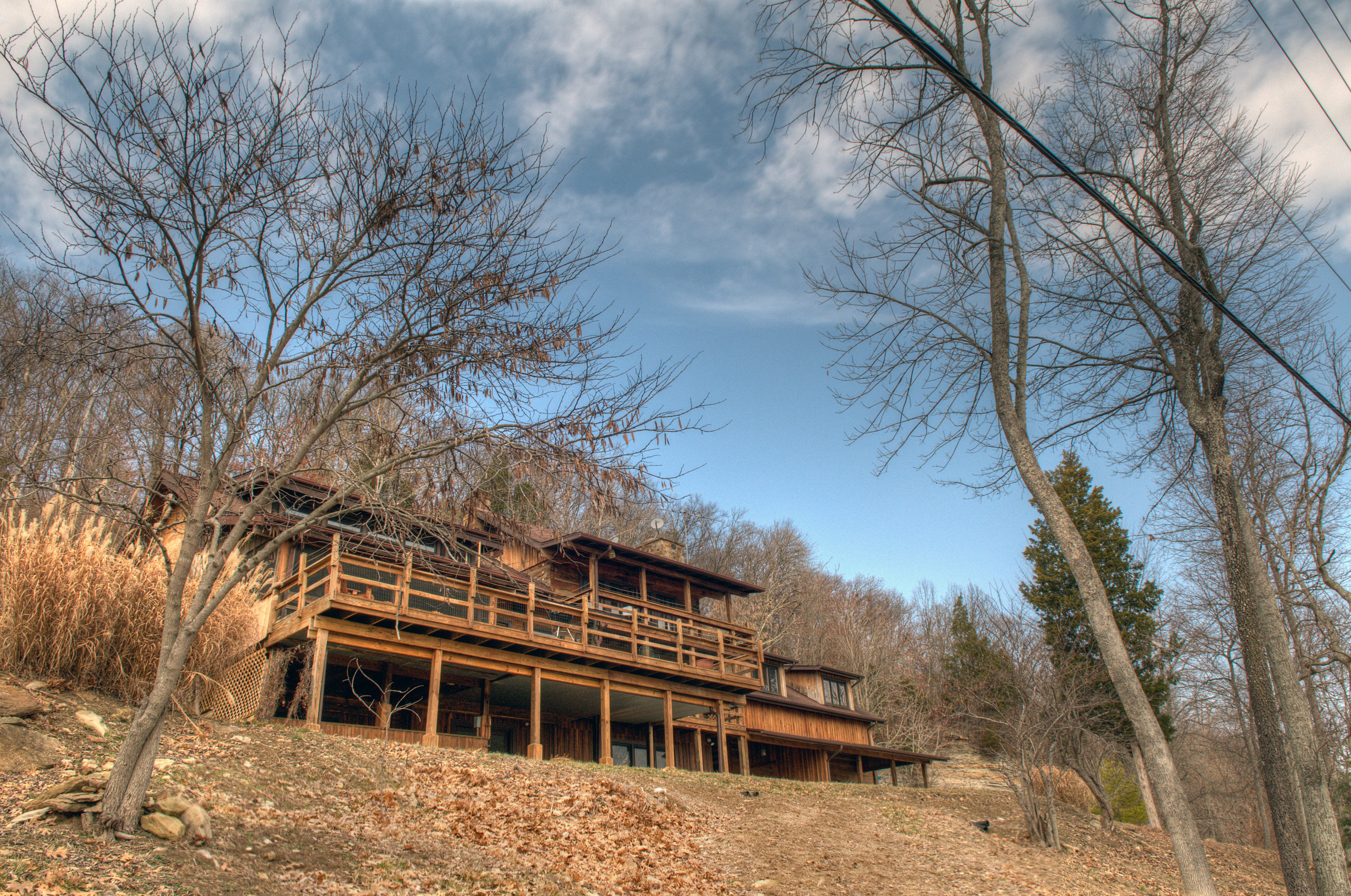
deck view

View From The Grave.
Picture Window

down by the river

cloud mirror

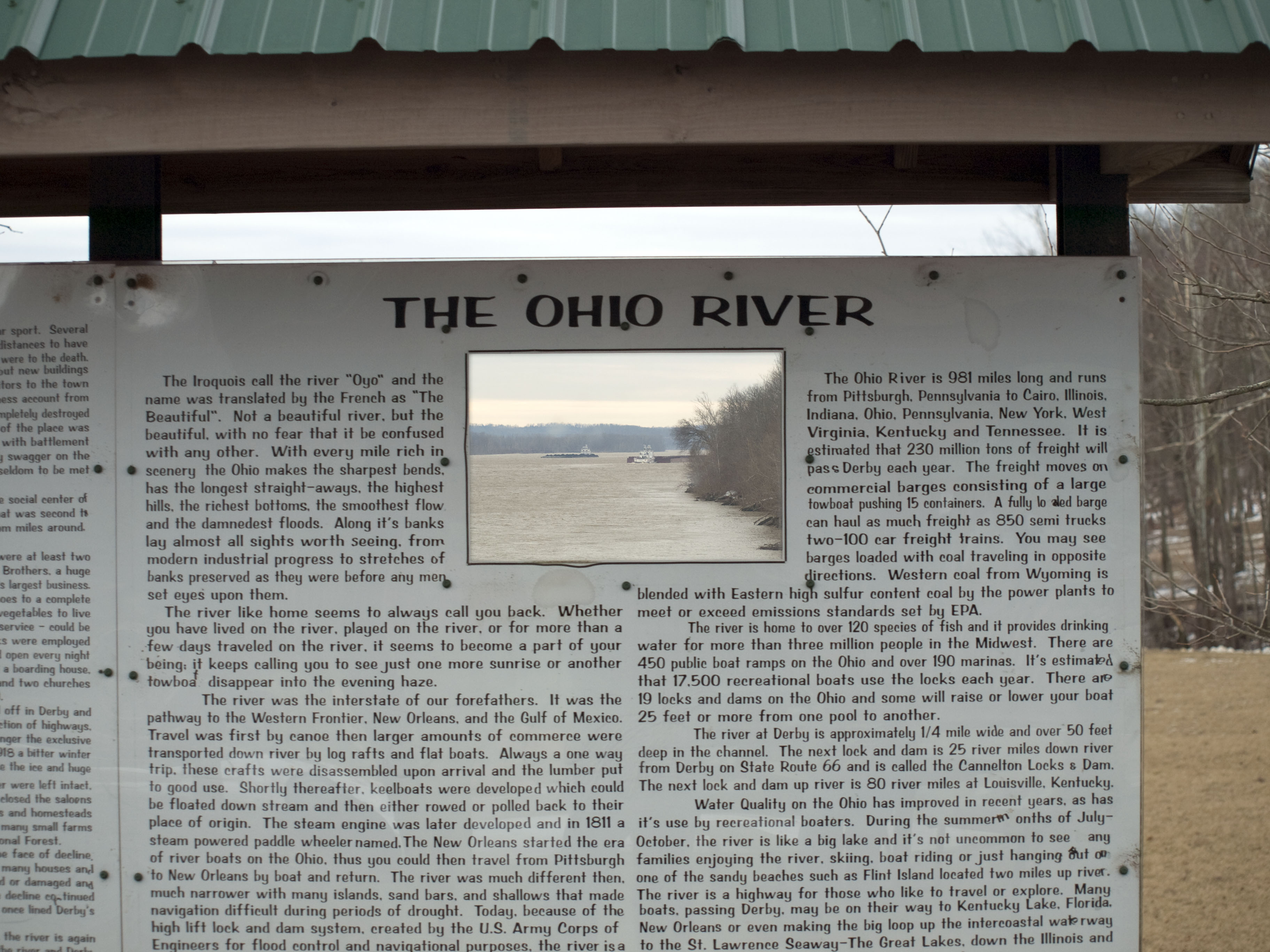
sunrise over the ohio river
German Ridge Day Use Area
farm 01

Riki and Allyson 4 wheelin'

Allyson and Riki 4 wheelin

More cows

Cannelton Locks from Kentucky. 7/12/2015.
Topographic Map of Stephensport, KY, USA
Find elevation by address:

Places in Stephensport, KY, USA:
Places near Stephensport, KY, USA:
Rome
Addison Dam Rd, Rome, IN, USA
Tobin Township
KY-, Stephensport, KY, USA
Highwater Rd, Tobin Township, IN, USA
IN-, Rome, IN, USA
Cloverport
Poplar St, Cloverport, KY, USA
Breckinridge County
Hardinsburg
KY-, Rhodelia, KY, USA
114 Breckwood Dr
Oak St, Hardinsburg, KY, USA
Troy Township
US-60, Harned, KY, USA
Garfield
Washington St, Cannelton, IN, USA
Cannelton
Madison St, Hawesville, KY, USA
Hawesville
Recent Searches:
- Elevation of Dog Leg Dr, Minden, NV, USA
- Elevation of Dog Leg Dr, Minden, NV, USA
- Elevation of Kambingan Sa Pansol Atbp., Purok 7 Pansol, Candaba, Pampanga, Philippines
- Elevation of Pinewood Dr, New Bern, NC, USA
- Elevation of Mountain View, CA, USA
- Elevation of Foligno, Province of Perugia, Italy
- Elevation of Blauwestad, Netherlands
- Elevation of Bella Terra Blvd, Estero, FL, USA
- Elevation of Estates Loop, Priest River, ID, USA
- Elevation of Woodland Oak Pl, Thousand Oaks, CA, USA