Elevation of Stenton Peak, Bighorn No. 8, AB T0L, Canada
Location: Canada > Alberta > Division No. 15 > Canmore >
Longitude: -115.27333
Latitude: 51.1716666
Elevation: 2686m / 8812feet
Barometric Pressure: 73KPa
Elevation Map:
Satellite Map:
Related Photos:

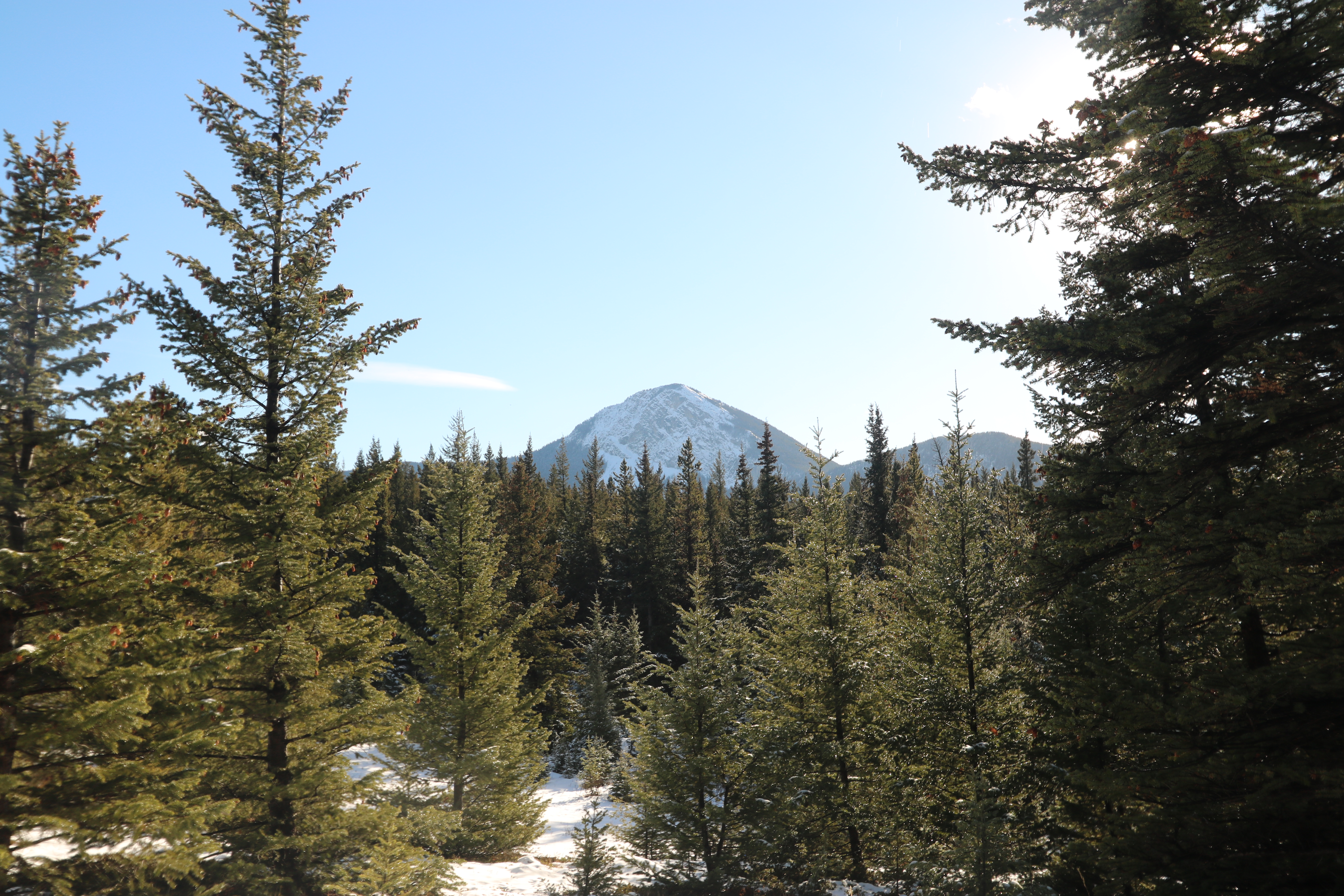
View out the Window
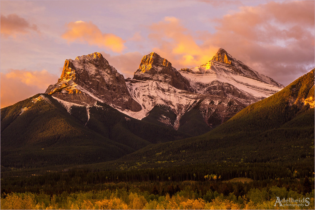
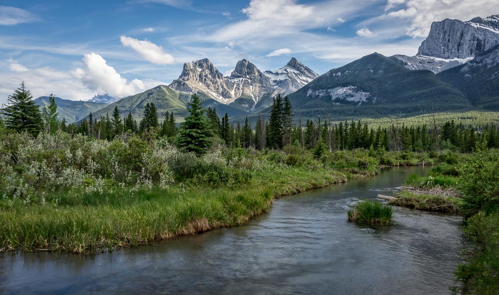
Three Sister Sunrise
Morning Coffee
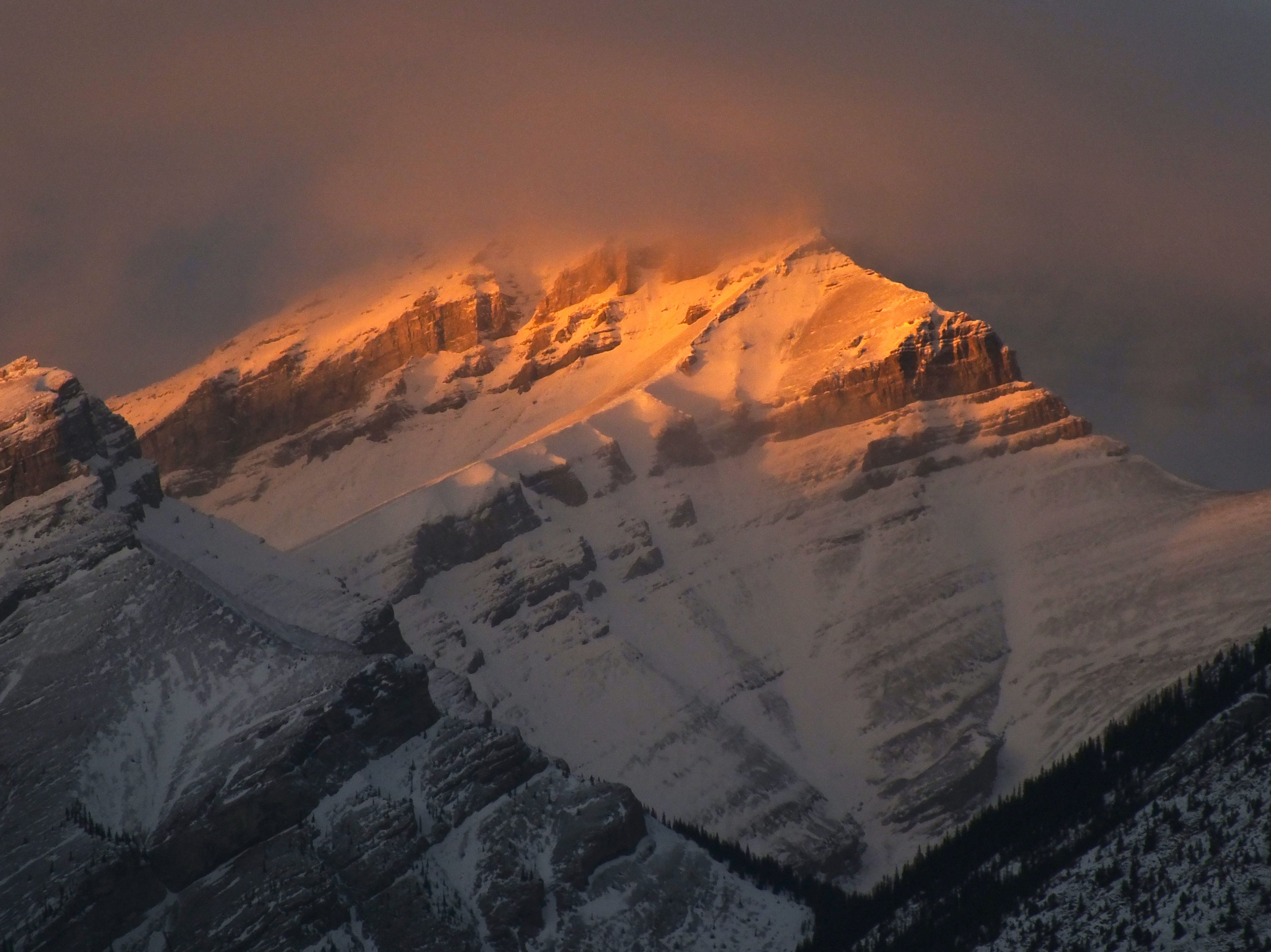
Rocky Mountain sunset lights from Canmore 1
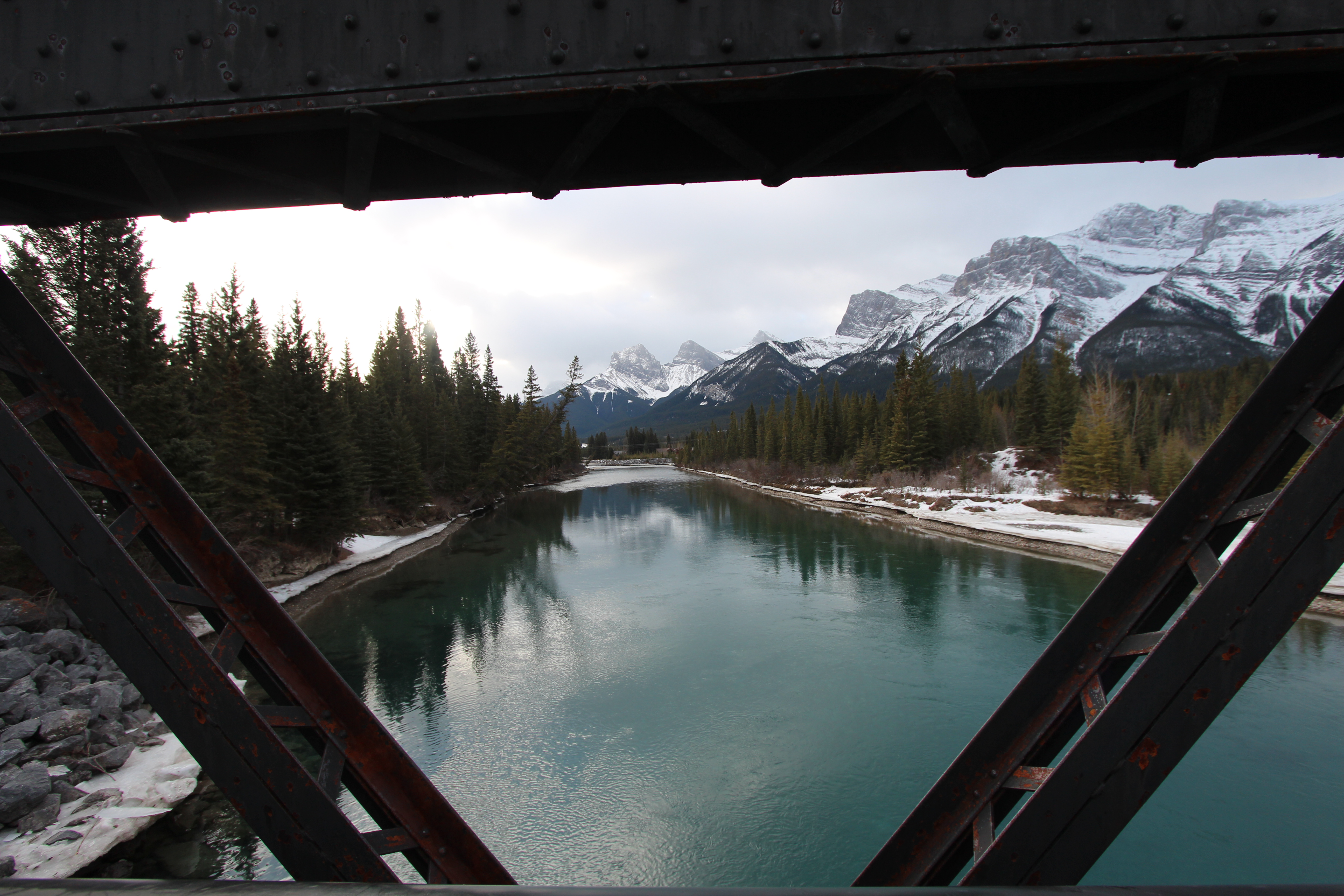
A bridge with a view
Bow valley park on a sunny day.
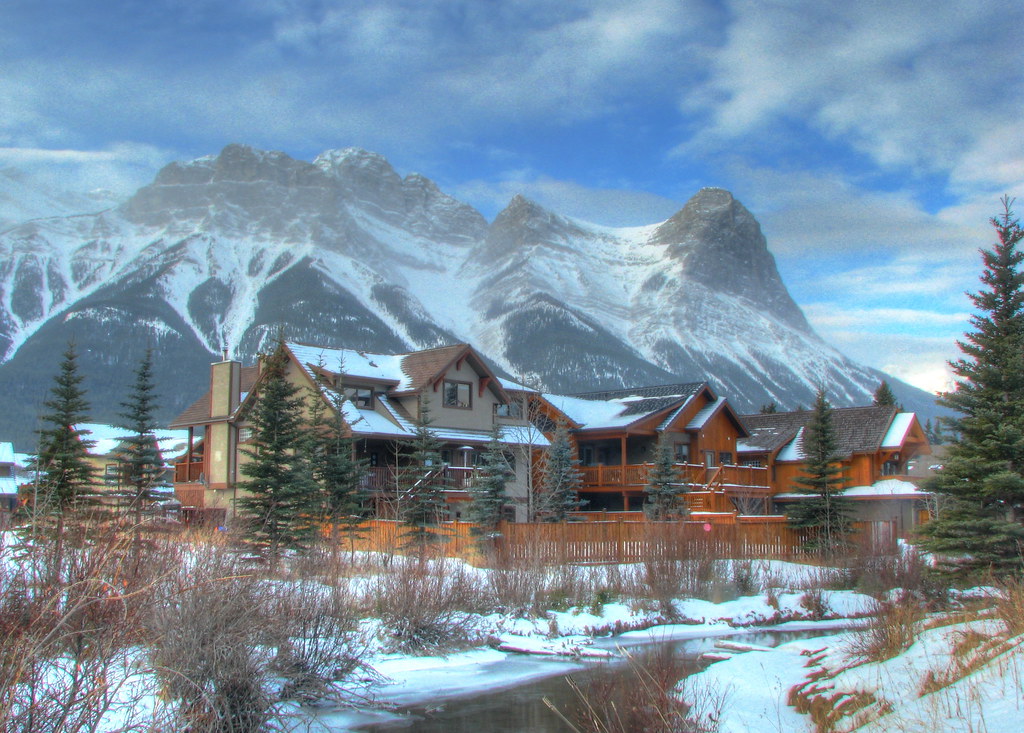
Trailer Park View

Heart creek trail Hike
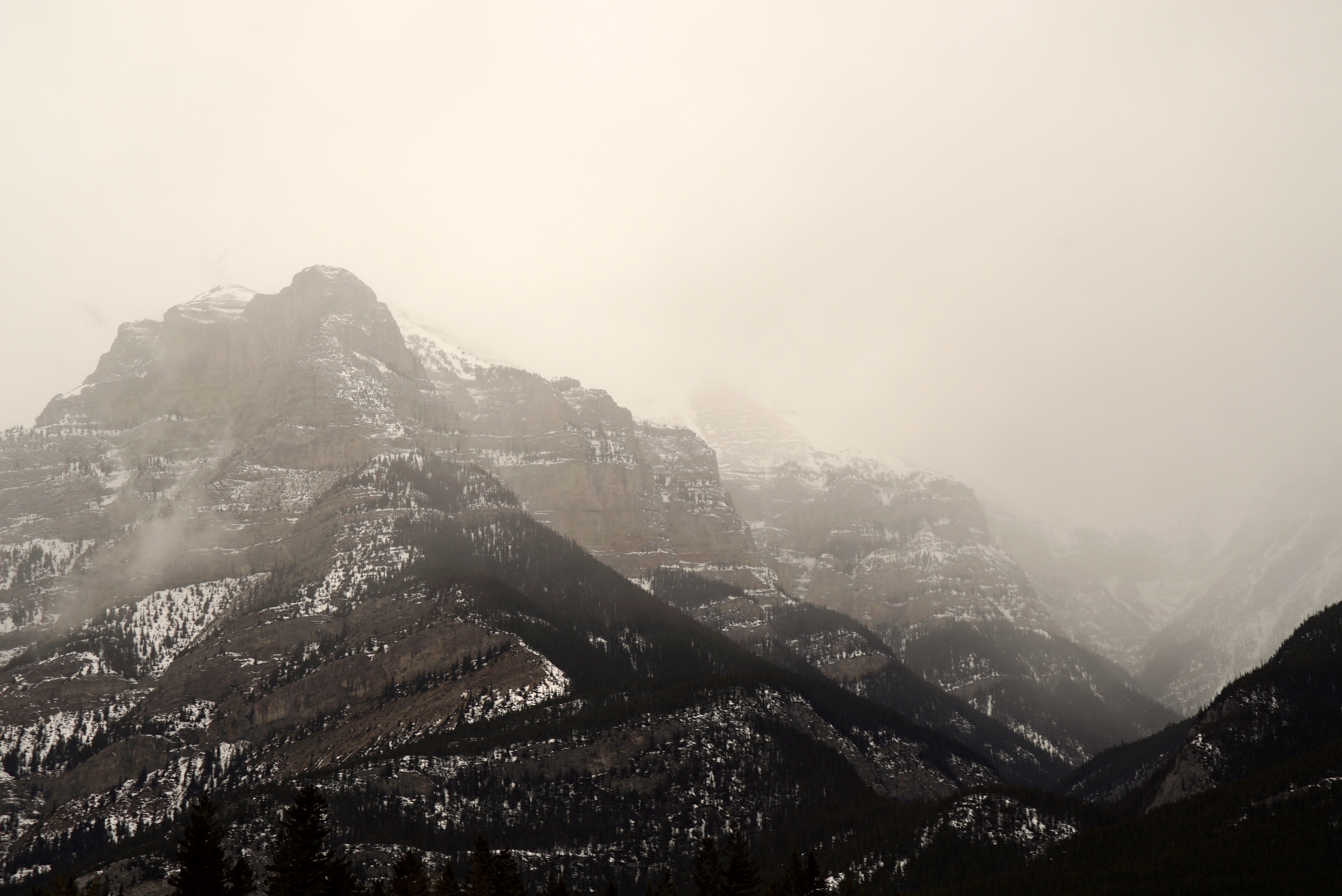
Mountain mist
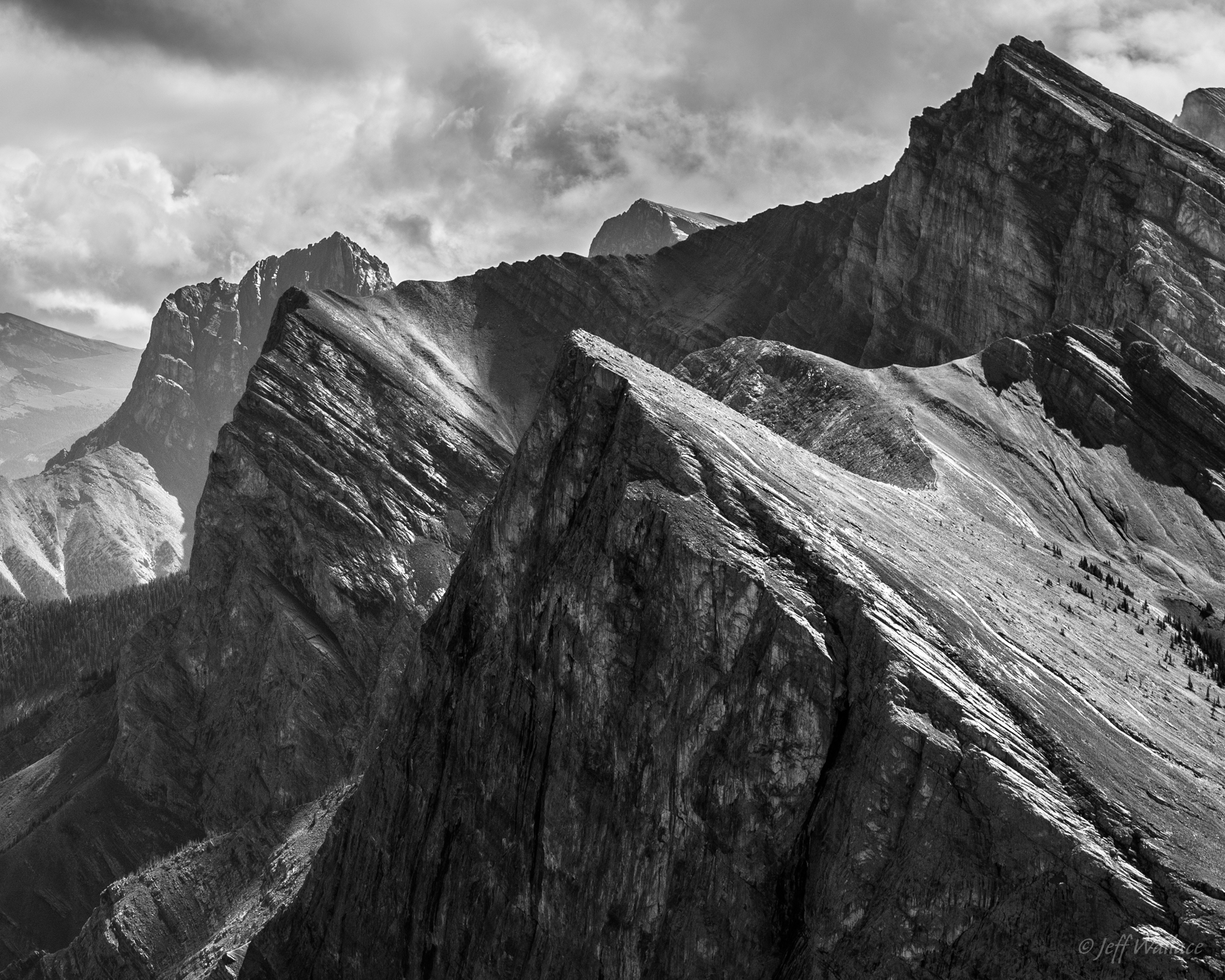
Ha Ling Peak Landscape View
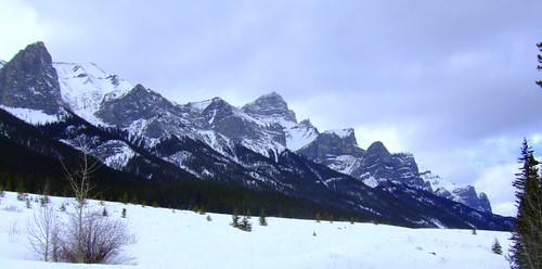
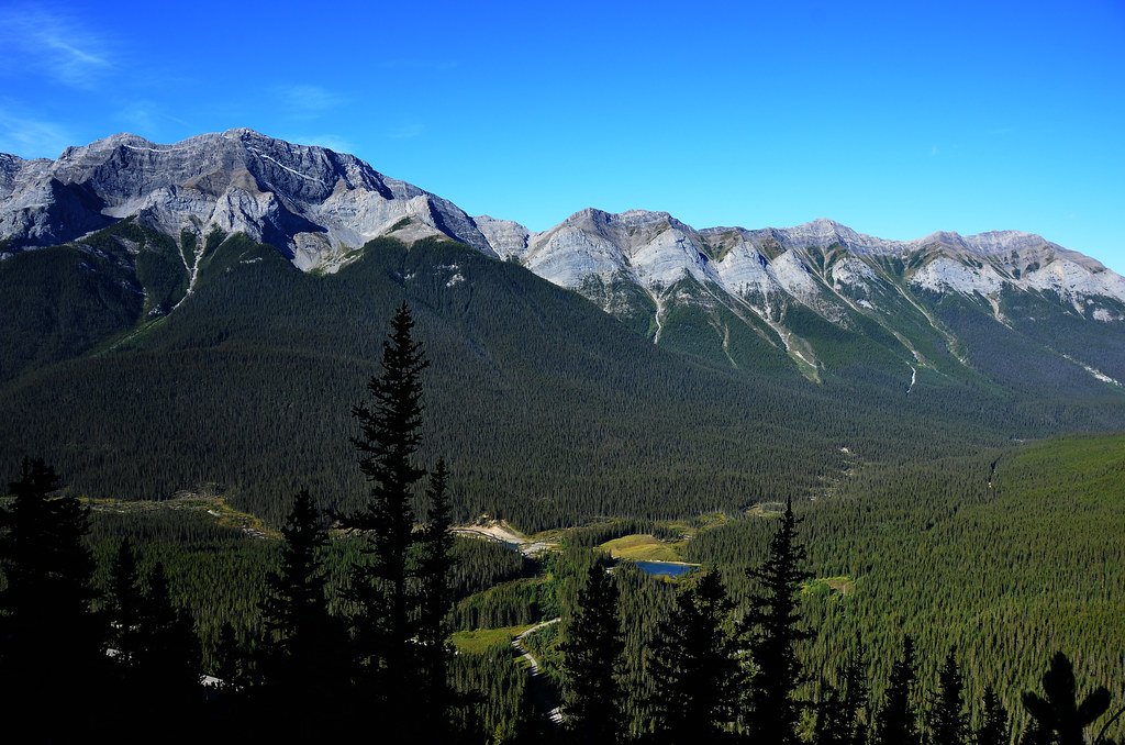
Rundle View
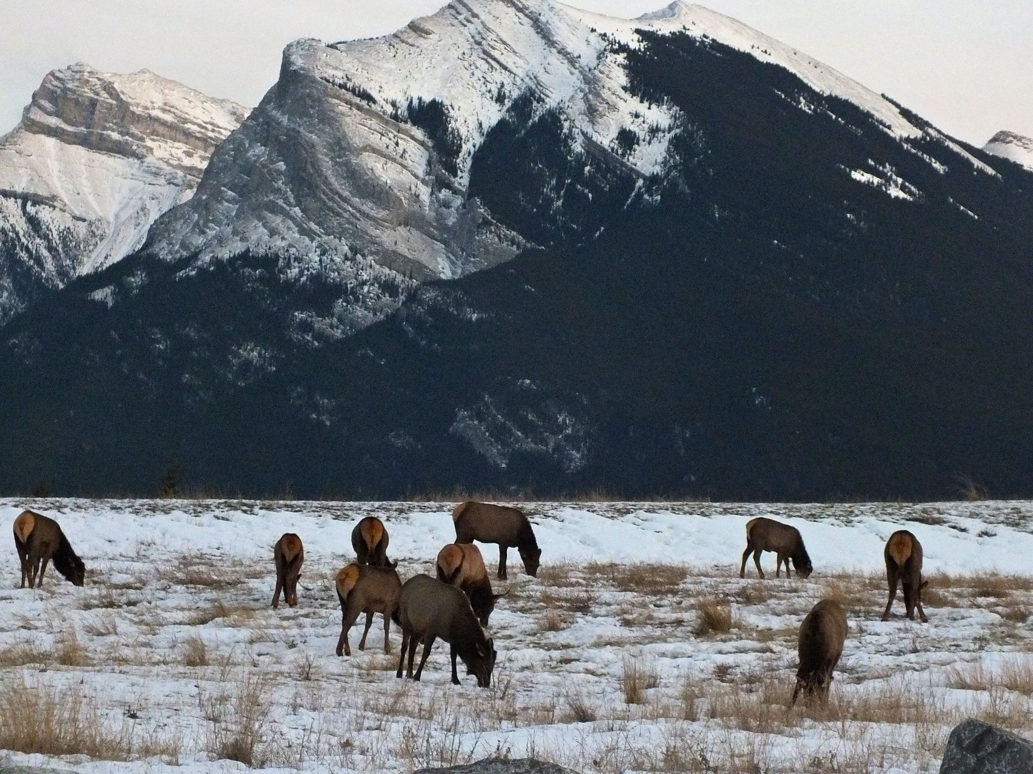
Elk herd above Canmore, Pigeon Mountain behind

Helocopter Ride

Top of the Hill

View From Canmore Highline

Helocopter Ride
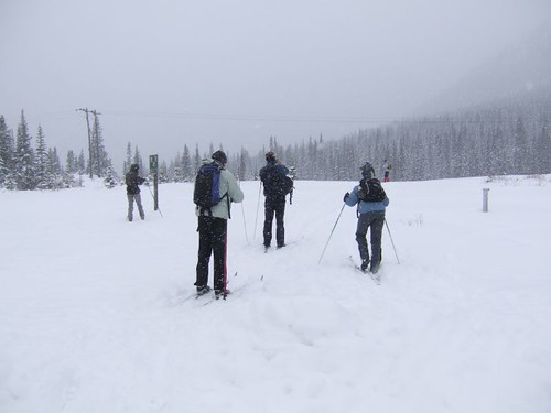
Blizzard like conditions to start the day!

Helocopter Ride
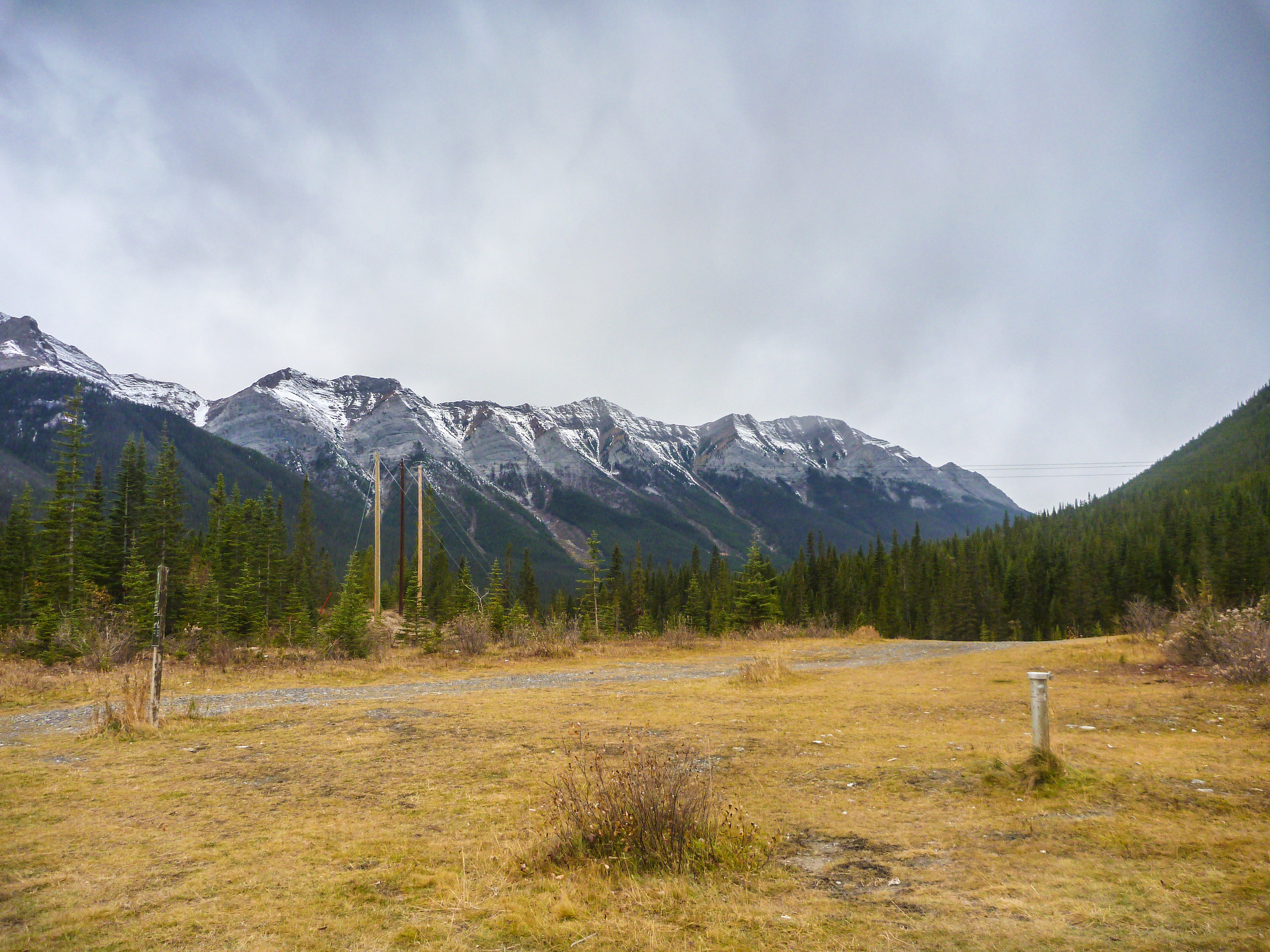
View from the Trail Head

Helocopter Ride
Ha Ling Peak
Topographic Map of Stenton Peak, Bighorn No. 8, AB T0L, Canada
Find elevation by address:

Places near Stenton Peak, Bighorn No. 8, AB T0L, Canada:
Fairholme Range
Mount Townsend
Charles Stewart Se2
Division No. 15
Mount Fable
Saddle Peak
South Ghost Peak
Grotto Mountain
Mount Costigan
Old Fort Peak
Orient Point
Dead Man's Flats
Old Goat Mountain
End Mountain
Association Peak
Loder Peak
Pigeon Mountain
Mount Yamnuska
Road Access To River Bed
Kananaskis
Recent Searches:
- Elevation of Corso Fratelli Cairoli, 35, Macerata MC, Italy
- Elevation of Tallevast Rd, Sarasota, FL, USA
- Elevation of 4th St E, Sonoma, CA, USA
- Elevation of Black Hollow Rd, Pennsdale, PA, USA
- Elevation of Oakland Ave, Williamsport, PA, USA
- Elevation of Pedrógão Grande, Portugal
- Elevation of Klee Dr, Martinsburg, WV, USA
- Elevation of Via Roma, Pieranica CR, Italy
- Elevation of Tavkvetili Mountain, Georgia
- Elevation of Hartfords Bluff Cir, Mt Pleasant, SC, USA