Elevation of Steinkopf, South Africa
Location: South Africa > Northern Cape > Namakwa >
Longitude: 17.7340132
Latitude: -29.260206
Elevation: 835m / 2739feet
Barometric Pressure: 92KPa
Elevation Map:
Satellite Map:
Related Photos:


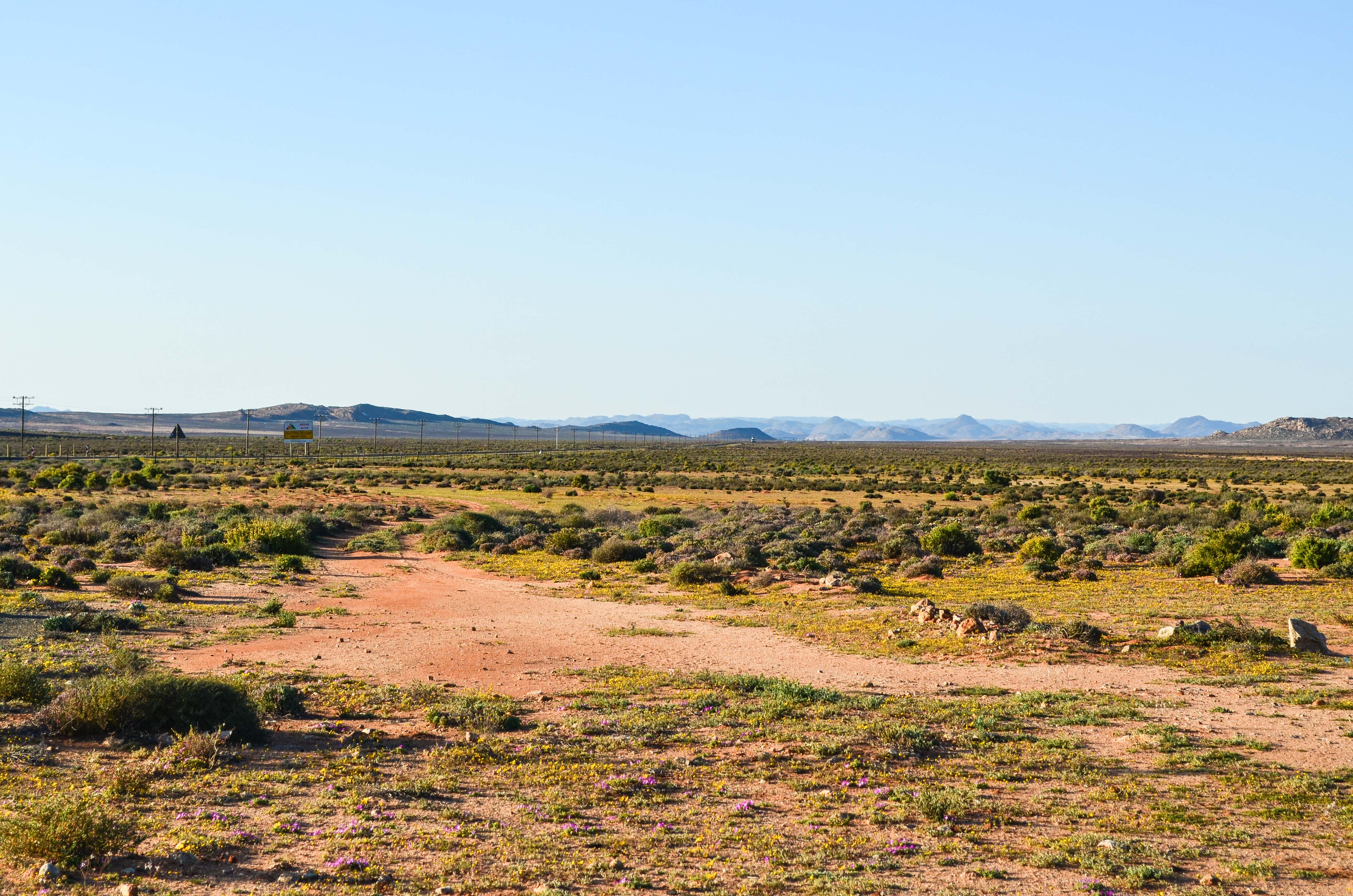
Landscape near Steinkopf, Northern Cape, South Africa
Northern Cape, South Africa
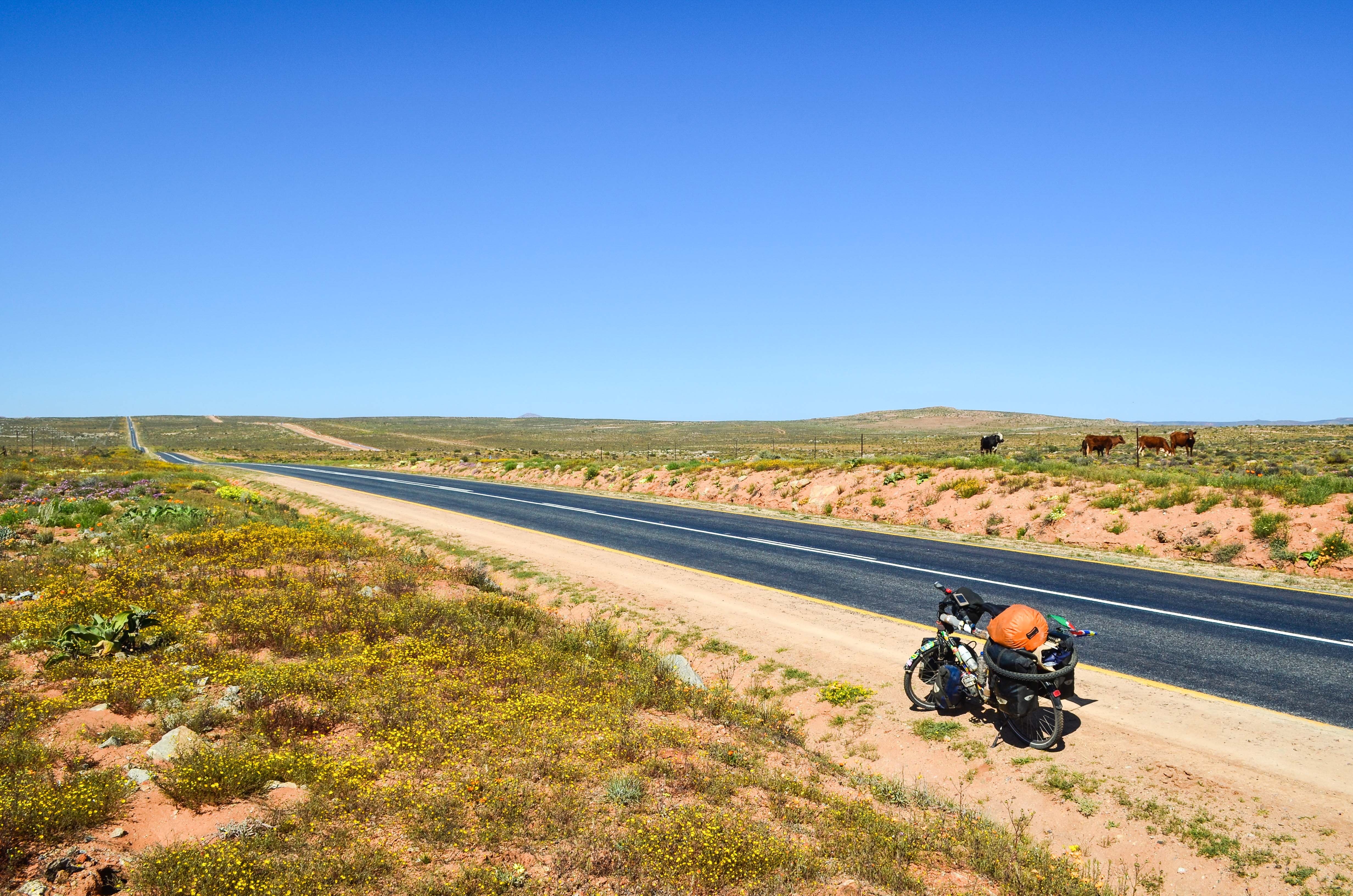
Day652-Bike-140817

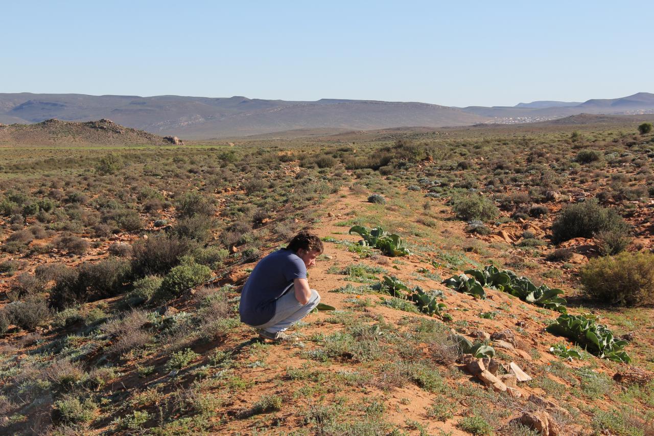
Landscape near Steinkopf, Northern Cape, South Africa

Sunset #1

20130701_20 Namaqualand Railway Steyer Kraal to Steinkopf_001
20130702_6 Namaqualand Railway Steyer Kraal to Steinkopf_008

20130702_19 Namaqualand Railway Near Anenous_001

20130702_18 Namaqualand Railway Anenous Pass_004

20130702_15 Namaqualand Railway Anenous Pass_001

20130702_17 Namaqualand Railway Anenous Pass_003

20130702_16 Namaqualand Railway Anenous Pass_002
Topographic Map of Steinkopf, South Africa
Find elevation by address:

Places near Steinkopf, South Africa:
Recent Searches:
- Elevation of Corcoran Ln, Suffolk, VA, USA
- Elevation of Mamala II, Sariaya, Quezon, Philippines
- Elevation of Sarangdanda, Nepal
- Elevation of 7 Waterfall Way, Tomball, TX, USA
- Elevation of SW 57th Ave, Portland, OR, USA
- Elevation of Crocker Dr, Vacaville, CA, USA
- Elevation of Pu Ngaol Community Meeting Hall, HWHM+3X7, Krong Saen Monourom, Cambodia
- Elevation of Royal Ontario Museum, Queens Park, Toronto, ON M5S 2C6, Canada
- Elevation of Groblershoop, South Africa
- Elevation of Power Generation Enterprises | Industrial Diesel Generators, Oak Ave, Canyon Country, CA, USA