Elevation of Steelville, MO, USA
Location: United States > Missouri > Crawford County > Meramec Township >
Longitude: -91.354868
Latitude: 37.9680999
Elevation: 229m / 751feet
Barometric Pressure: 99KPa
Elevation Map:
Satellite Map:
Related Photos:

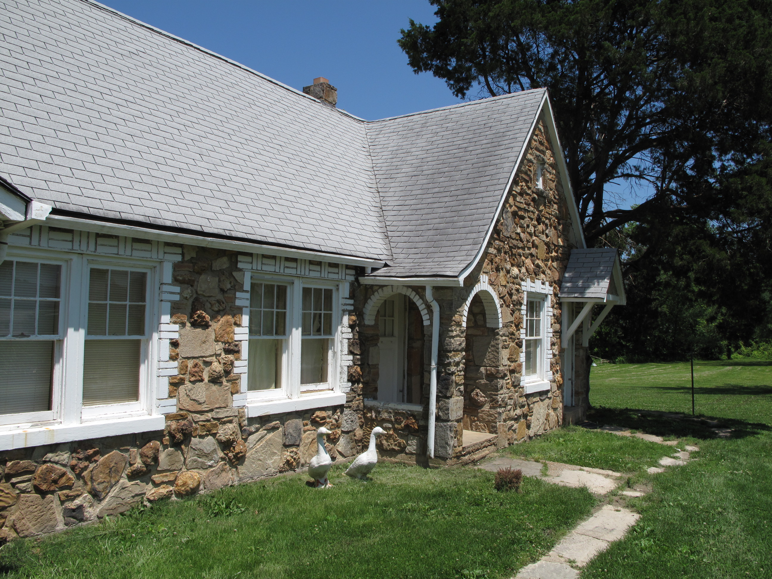
The Most Haunted House in Crawford County - - The Snelson-Brinker House
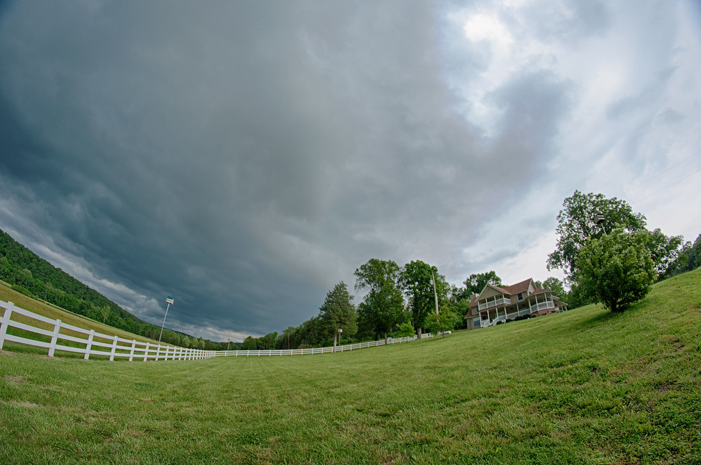
Storm Rolling In Over Devil's Rope Ranch
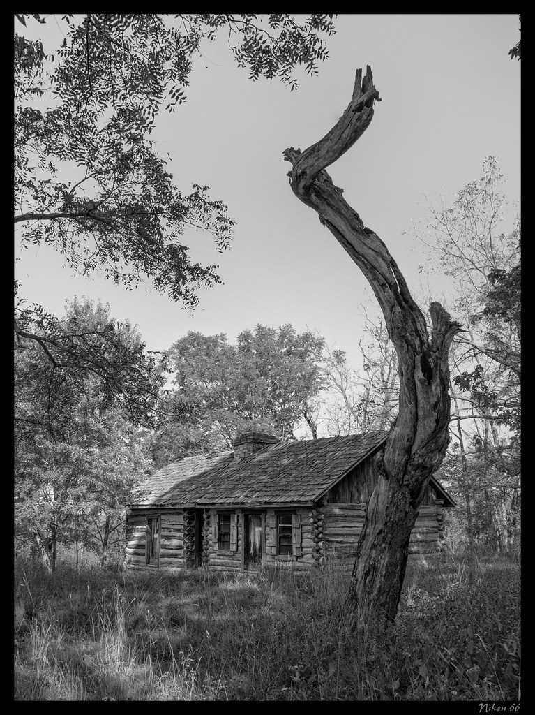
The Most Haunted House in Crawford County - - The Snelson-Brinker House - No. 2
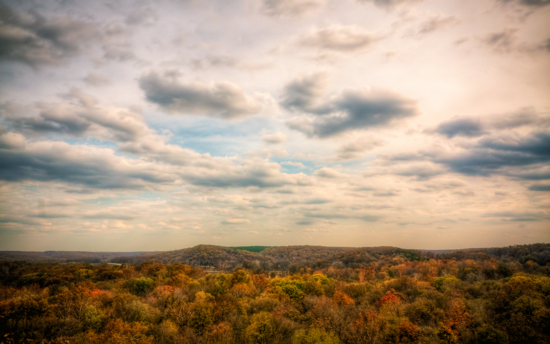
Quite an Overlook :: HDR

ROUTE66_0436c - CUBA MO

ROUTE66_0436d - CUBA MO

Wagon Wheel Motel, Cuba (Mo.), 22 May 2010
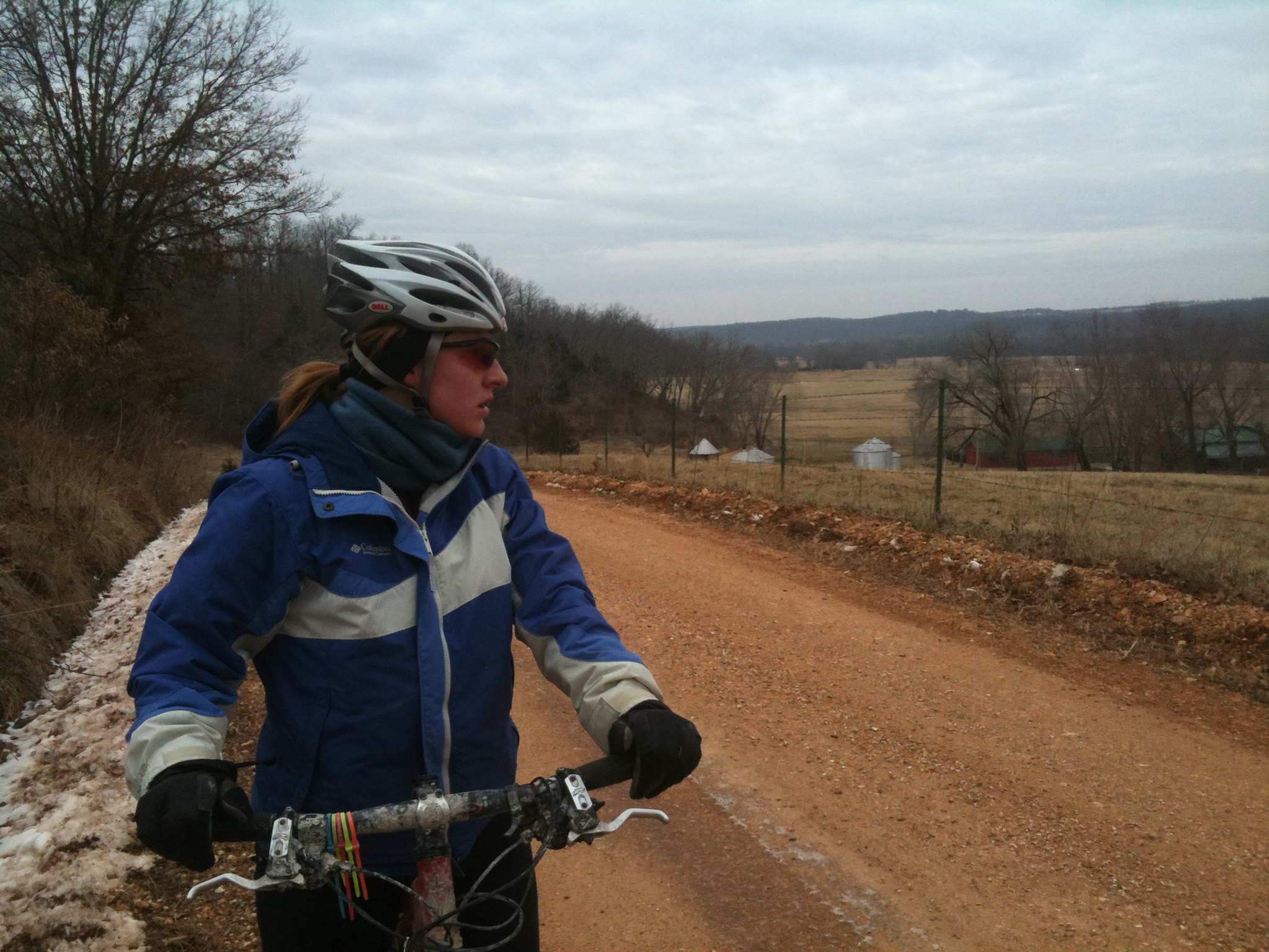
Missouri Gravel Grinder Series
Wagon Wheel Motel, Cuba (Mo.), 22 May 2010
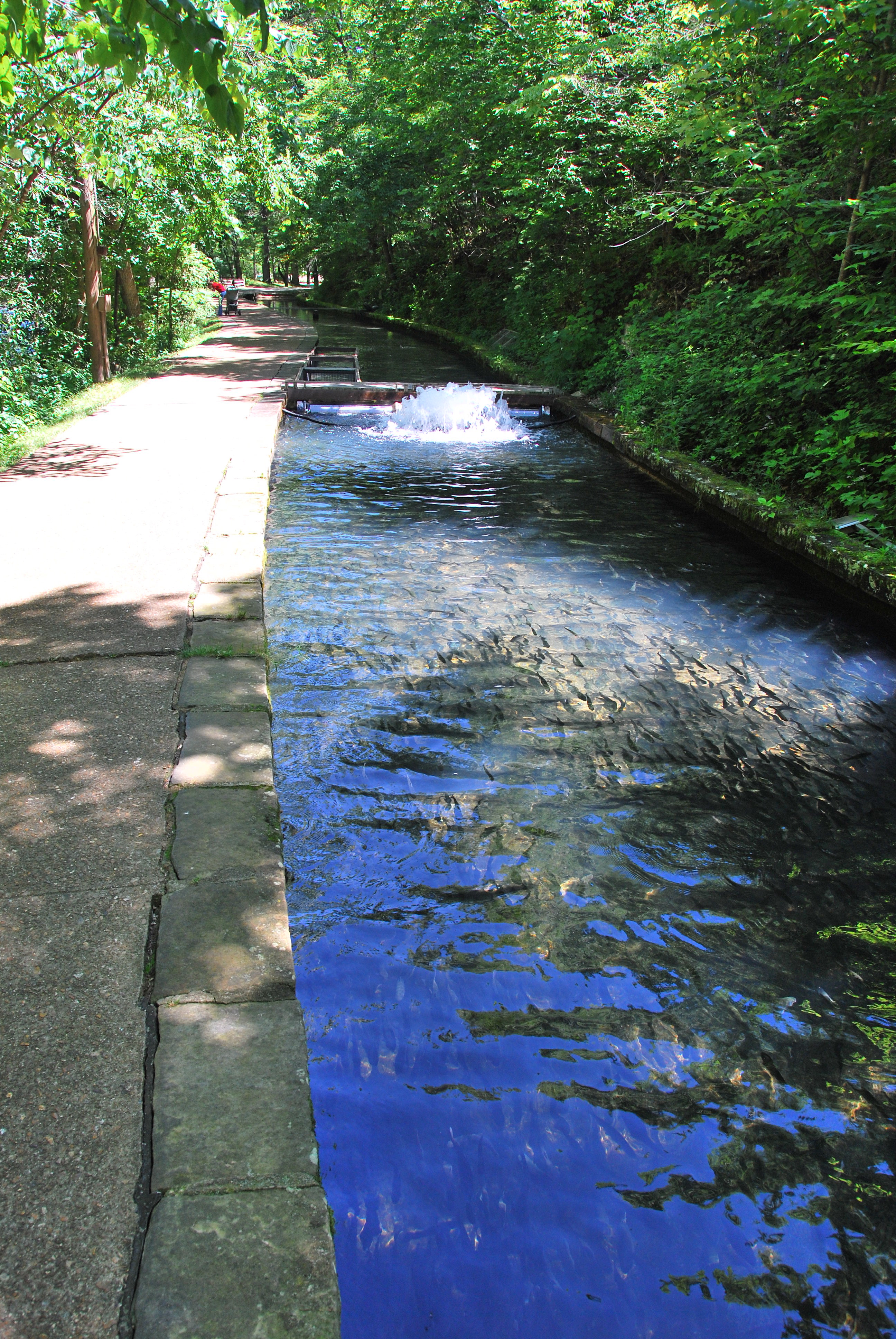
Thousands of fingerling trout
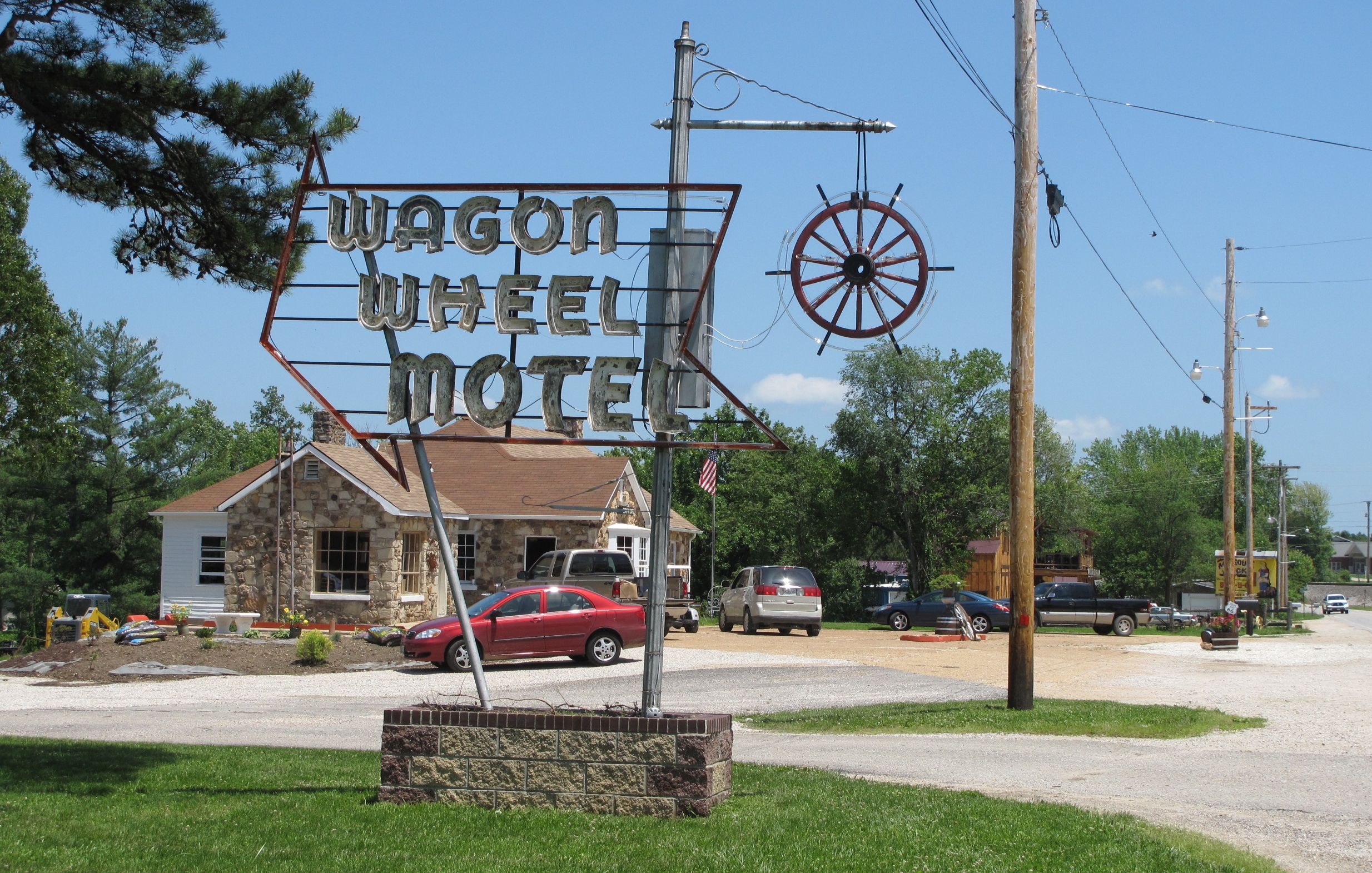
Wagon Wheel Motel, Cuba (Mo.), 22 May 2010

Maramec Springs
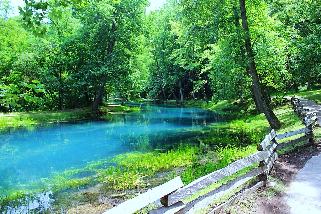
Turquoise waters
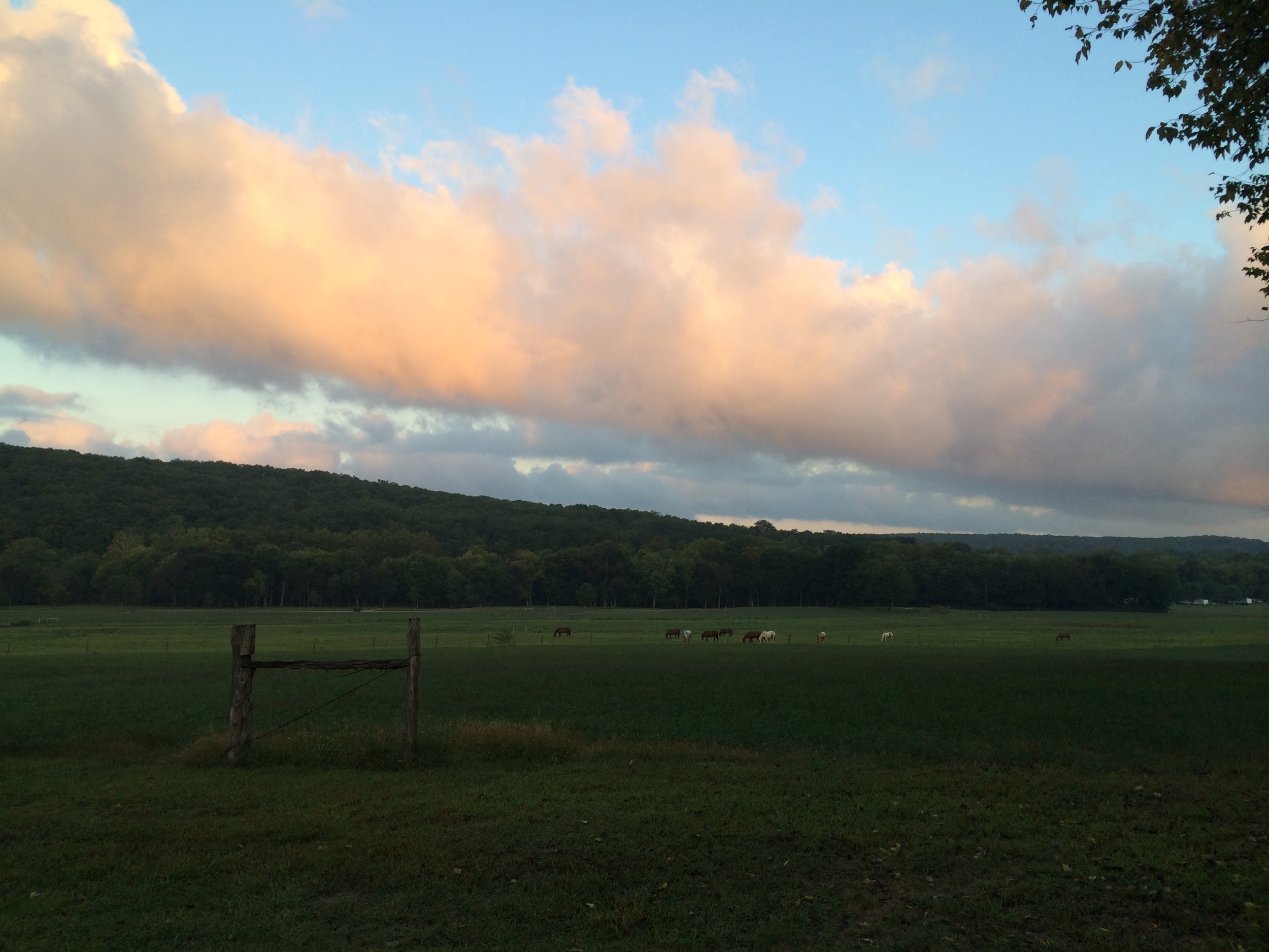
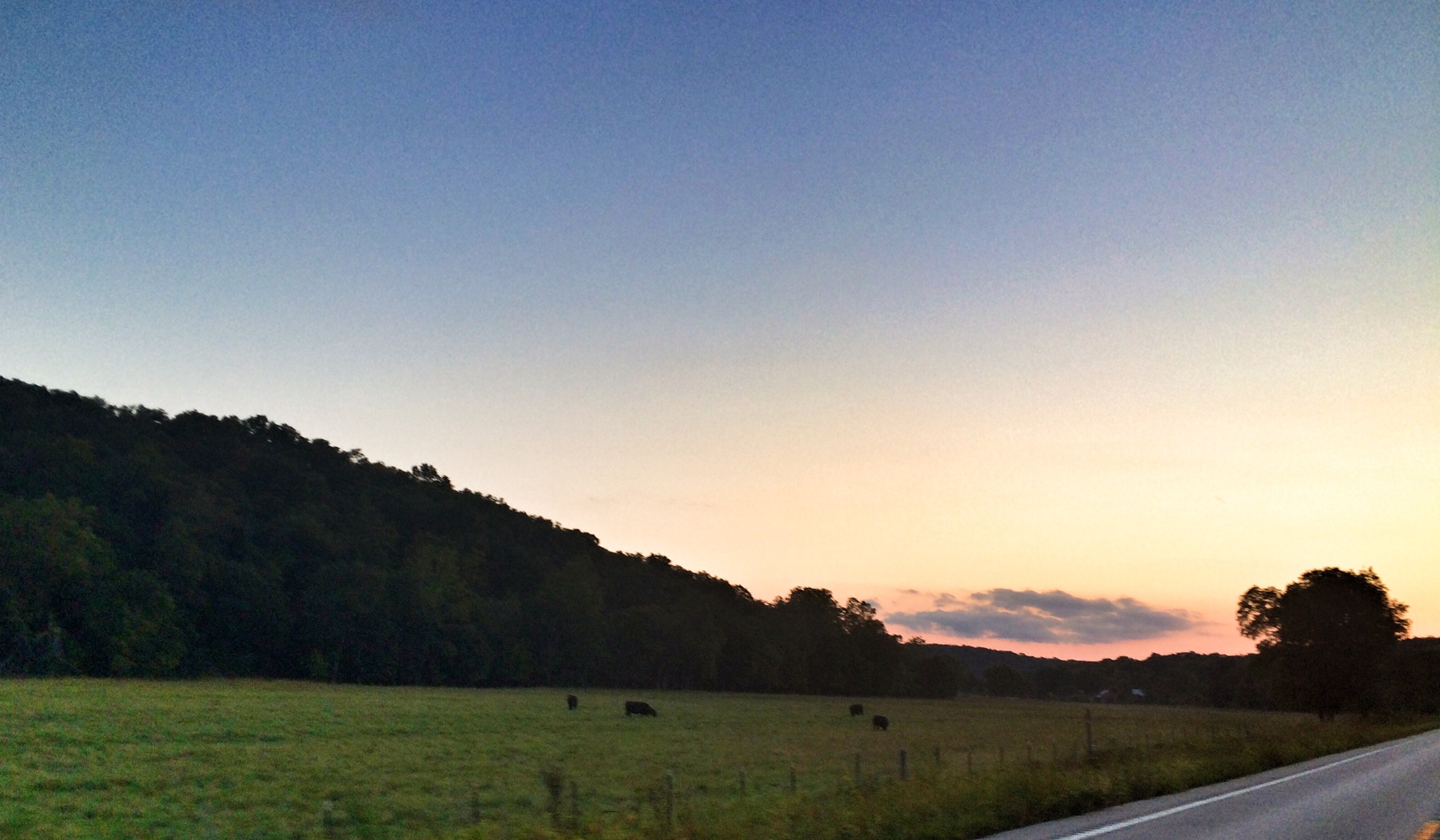
HV sunrise 9-14
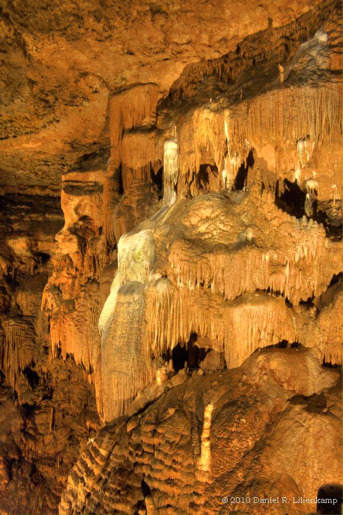
Onondaga Cave 07

Onondaga Cave 06
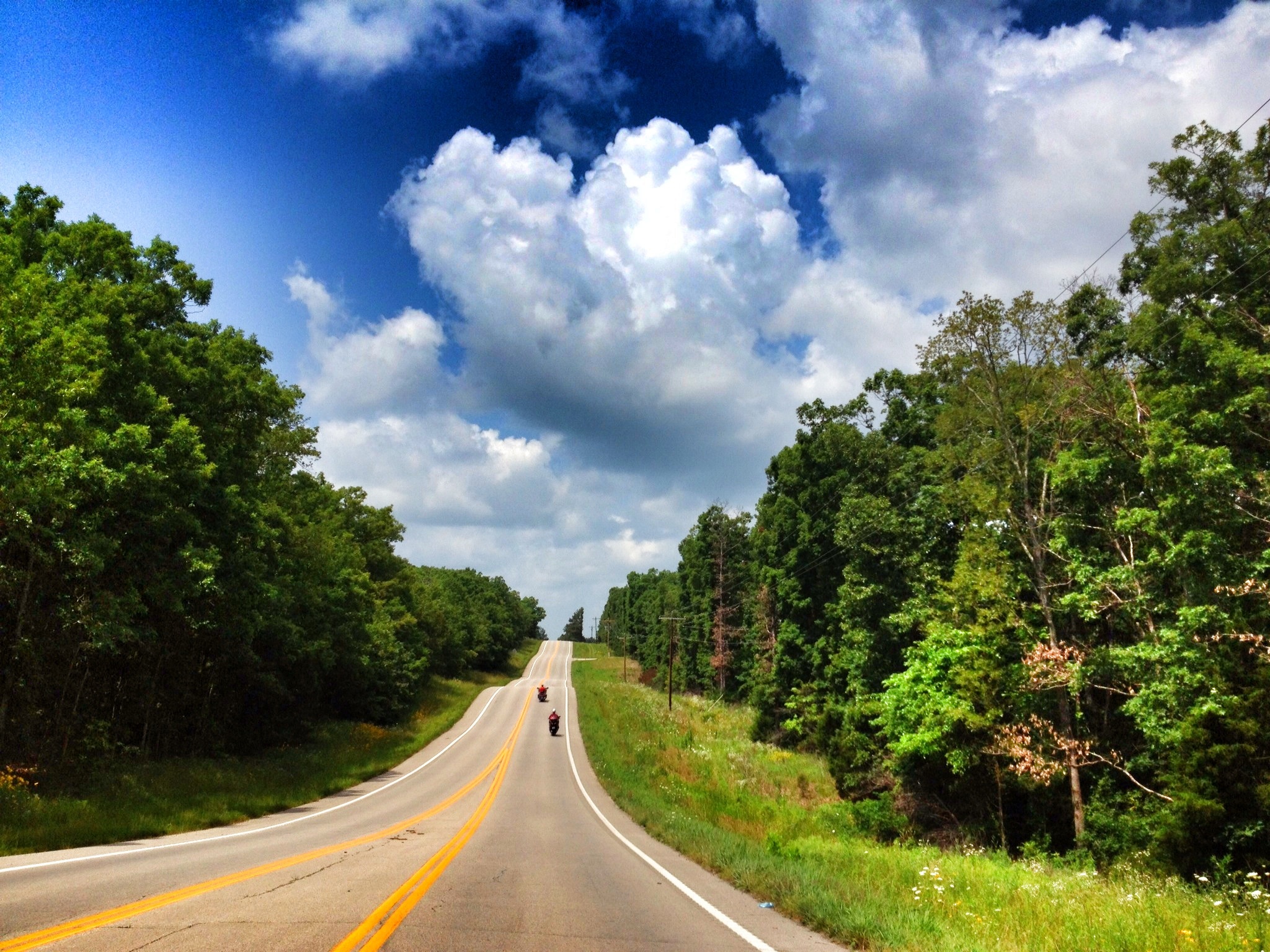
Ribbon Road out of Steelville
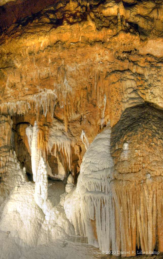
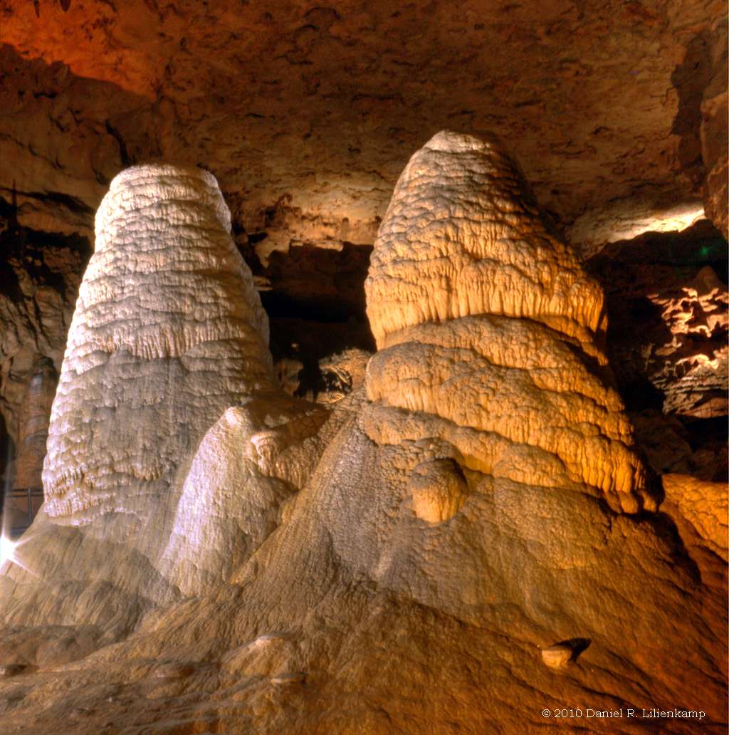
Onondaga Cave 18
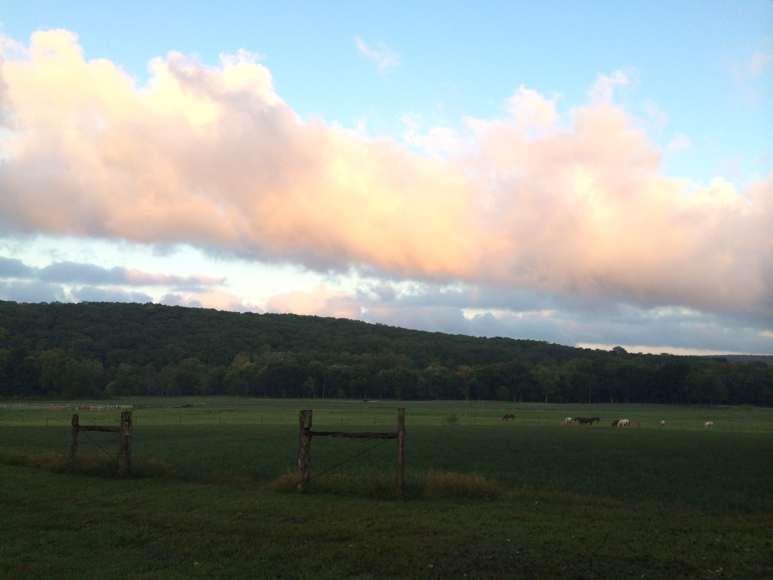
HV sunrise 9-14
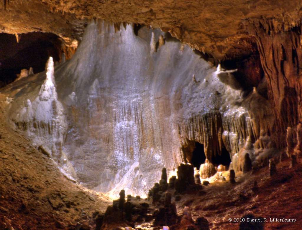
Onondaga Cave 01

Calming Campsite
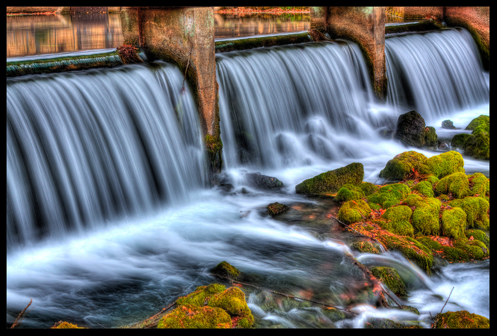
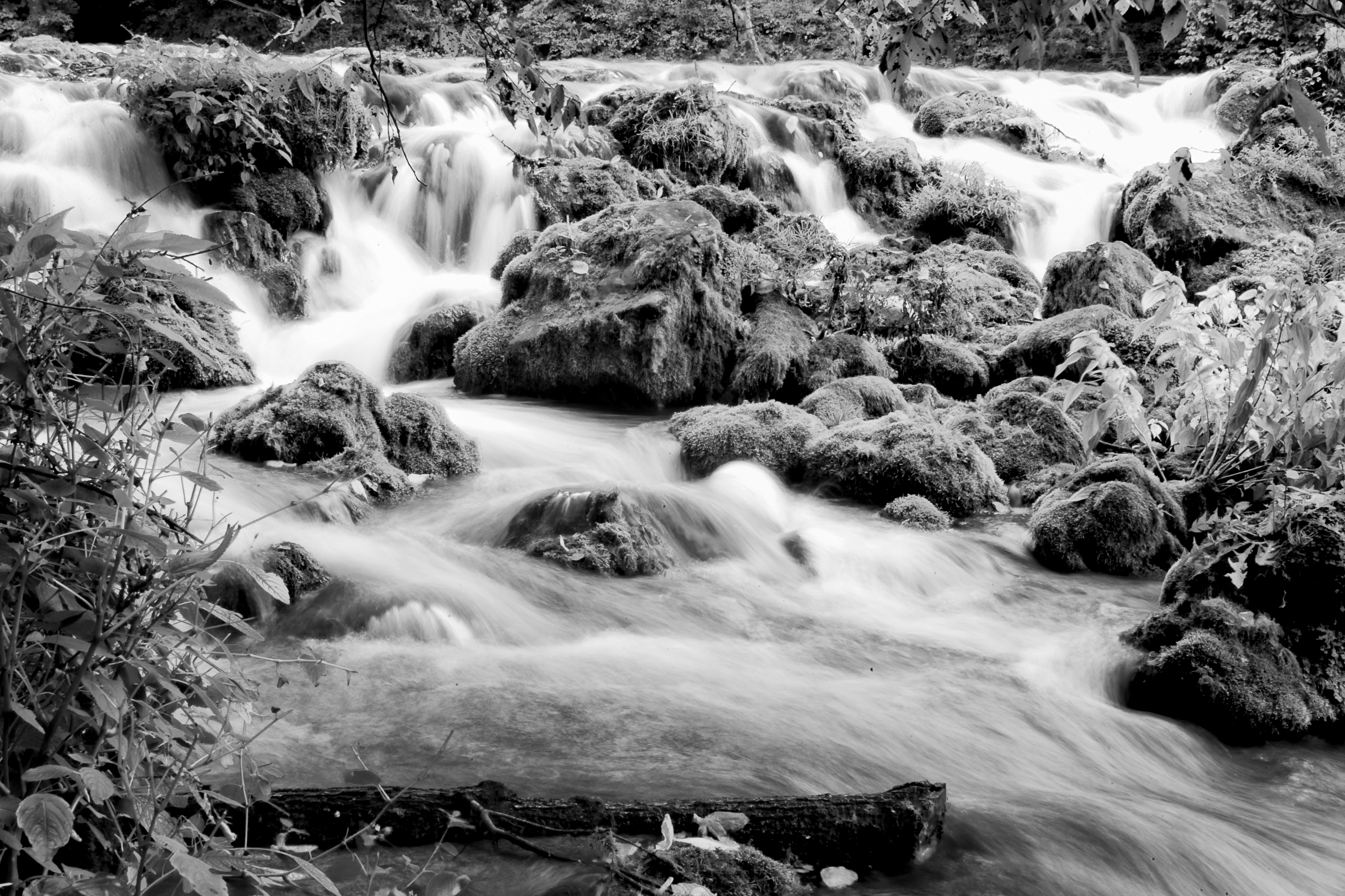
Where the Water Flows and the Green Moss Grows :: HDR
Onondaga Cave 05
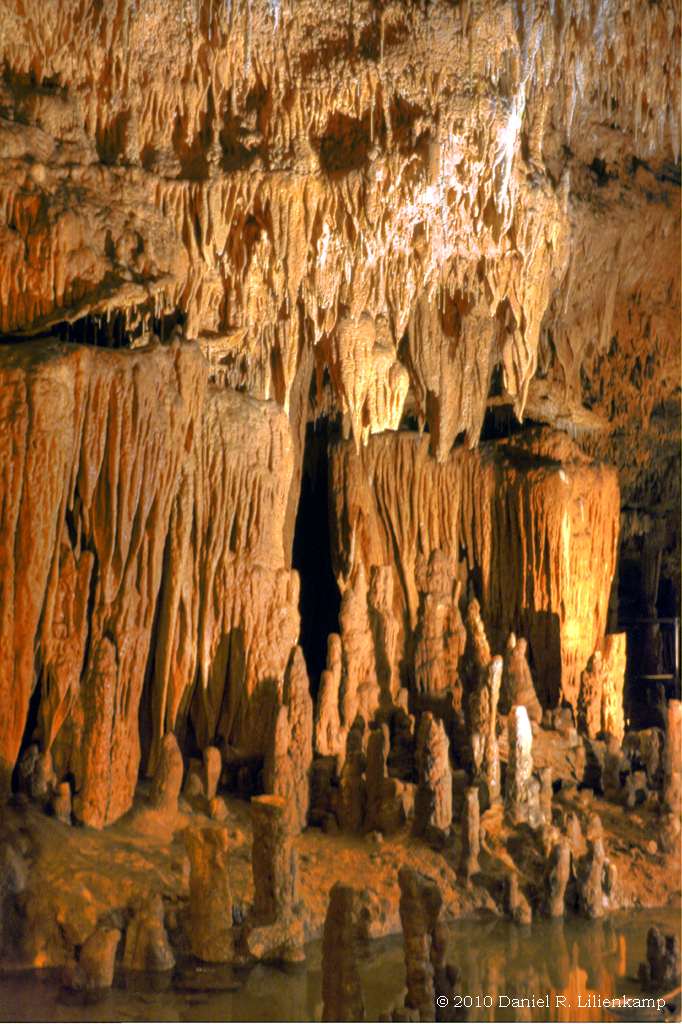
Onondaga Cave 08
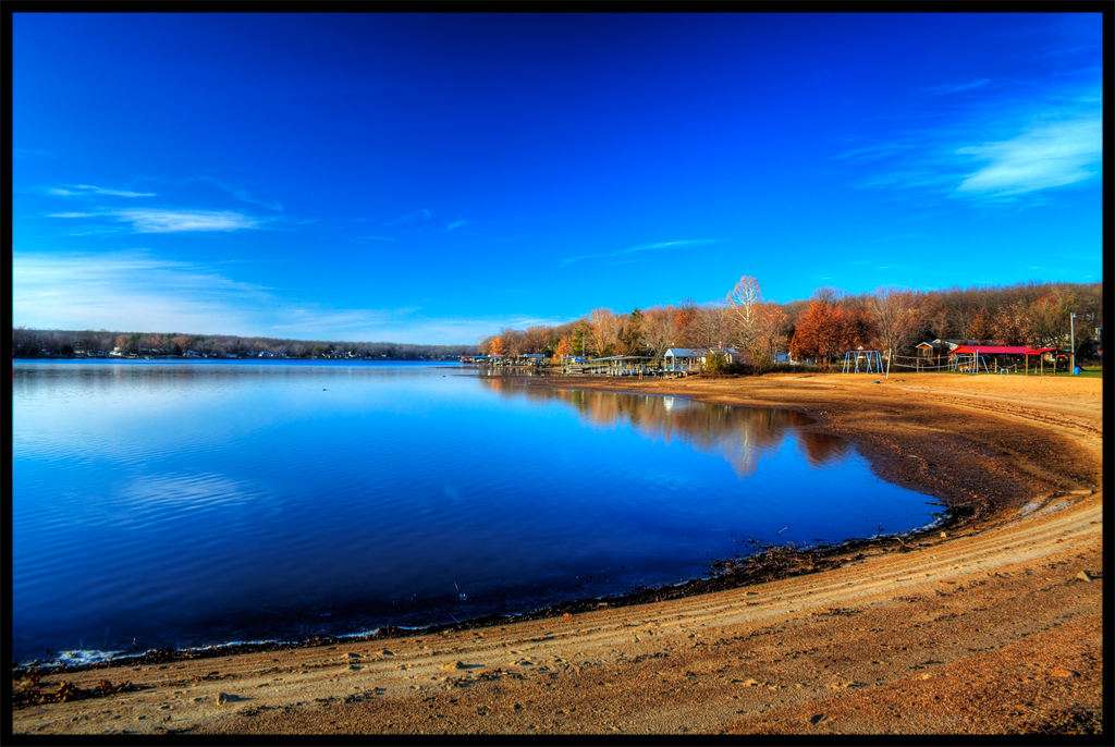
Bluey Blueness :: HDR
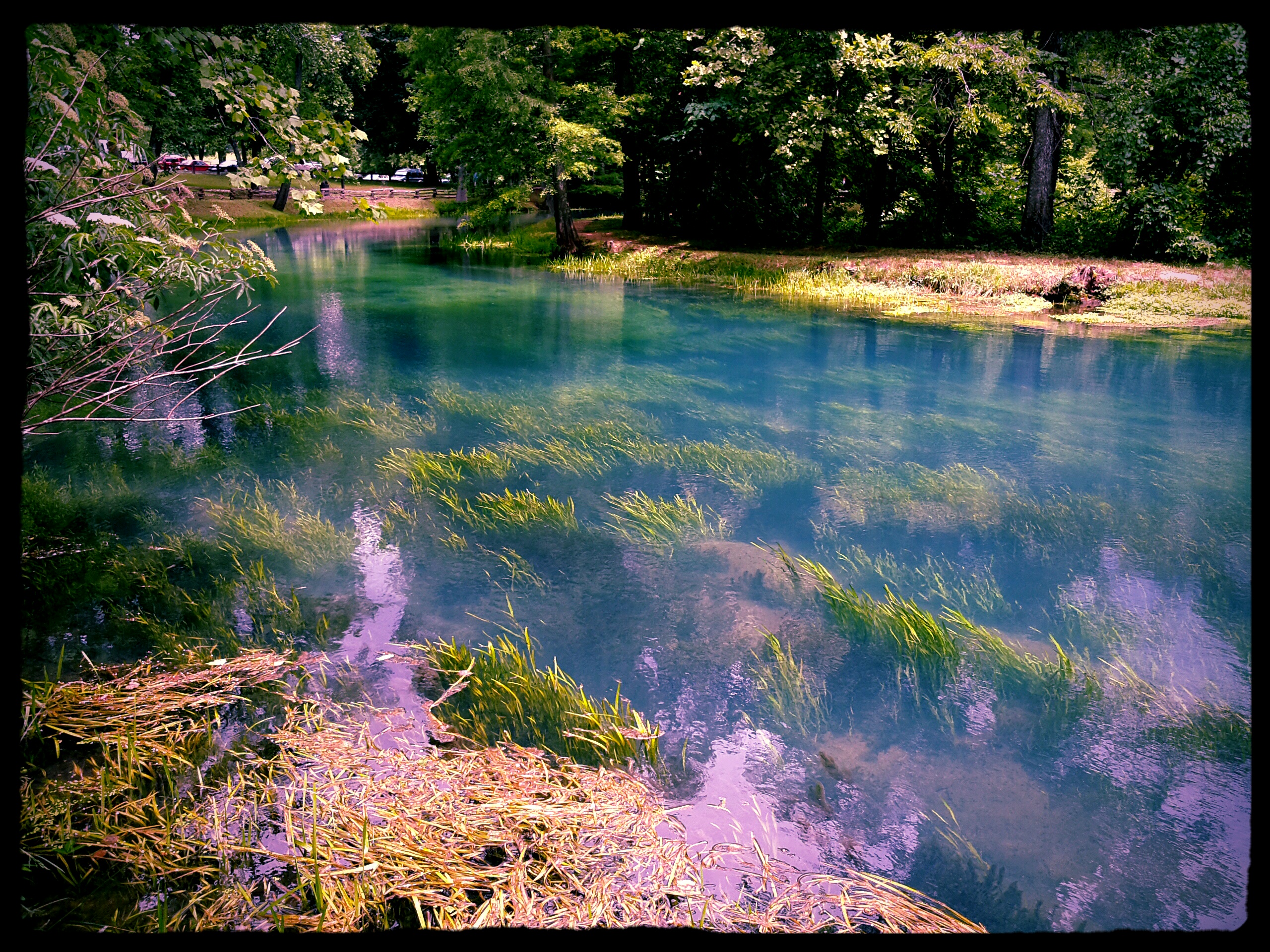
Meremec Spring
14 Rally
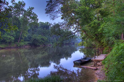
Sunrise on Meramec River
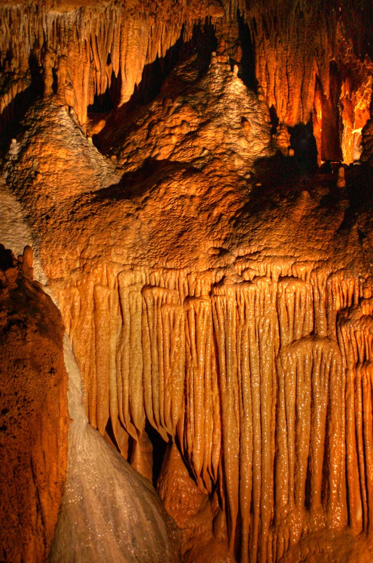
Onondaga cave
meramac springs
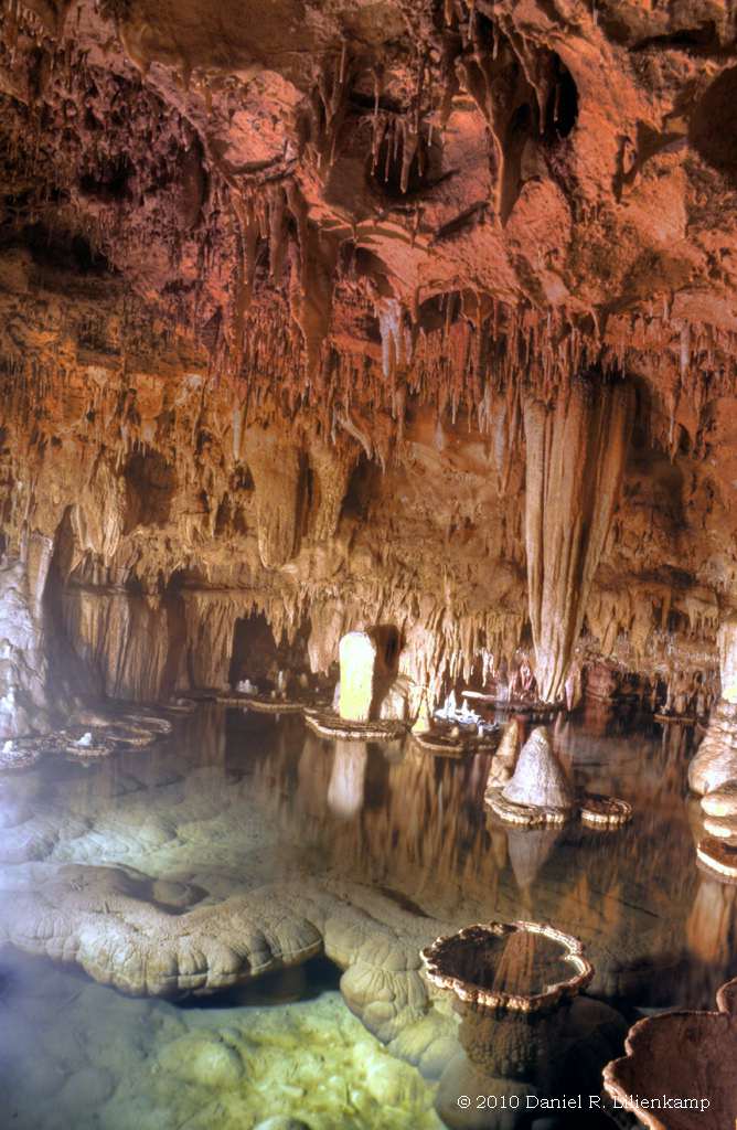
Onondaga Cave 24
Topographic Map of Steelville, MO, USA
Find elevation by address:

Places near Steelville, MO, USA:
Union Township
Courtois Township
142 Sig Bass Rd
Huzzah
59 Blue Bird Ln
59 Blue Bird Ln
Red Bluff Campground
Courtois
Harmony Township
Dent Township
Bixby
Mark Twain National Forest
Walton Township
10751 Jinkerson Rd
Washington County
Potosi
Breton Township
N Main St, Mineral Point, MO, USA
Mineral Point
Newton Township
Recent Searches:
- Elevation of Lampiasi St, Sarasota, FL, USA
- Elevation of Elwyn Dr, Roanoke Rapids, NC, USA
- Elevation of Congressional Dr, Stevensville, MD, USA
- Elevation of Bellview Rd, McLean, VA, USA
- Elevation of Stage Island Rd, Chatham, MA, USA
- Elevation of Shibuya Scramble Crossing, 21 Udagawacho, Shibuya City, Tokyo -, Japan
- Elevation of Jadagoniai, Kaunas District Municipality, Lithuania
- Elevation of Pagonija rock, Kranto 7-oji g. 8"N, Kaunas, Lithuania
- Elevation of Co Rd 87, Jamestown, CO, USA
- Elevation of Tenjo, Cundinamarca, Colombia