Elevation of State Rd TT, Festus, MO, USA
Location: United States > Missouri > Jefferson County > Joachim Township > Festus >
Longitude: -90.360187
Latitude: 38.139144
Elevation: 205m / 673feet
Barometric Pressure: 99KPa
Elevation Map:
Satellite Map:
Related Photos:
Vista De La Bickel

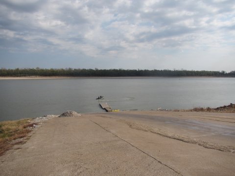
Mississippi River, Herculaneum (Mo.), 18 April 1980

Mississippi River, Herculaneum (Mo.), 18 April 1980

S. Ill Trip 192

Solar eclipse as seen from Bloomsdale, Missouri

Spider in moss

Solar Eclipse

Last One Standing

CIMNA9 15
Fading away

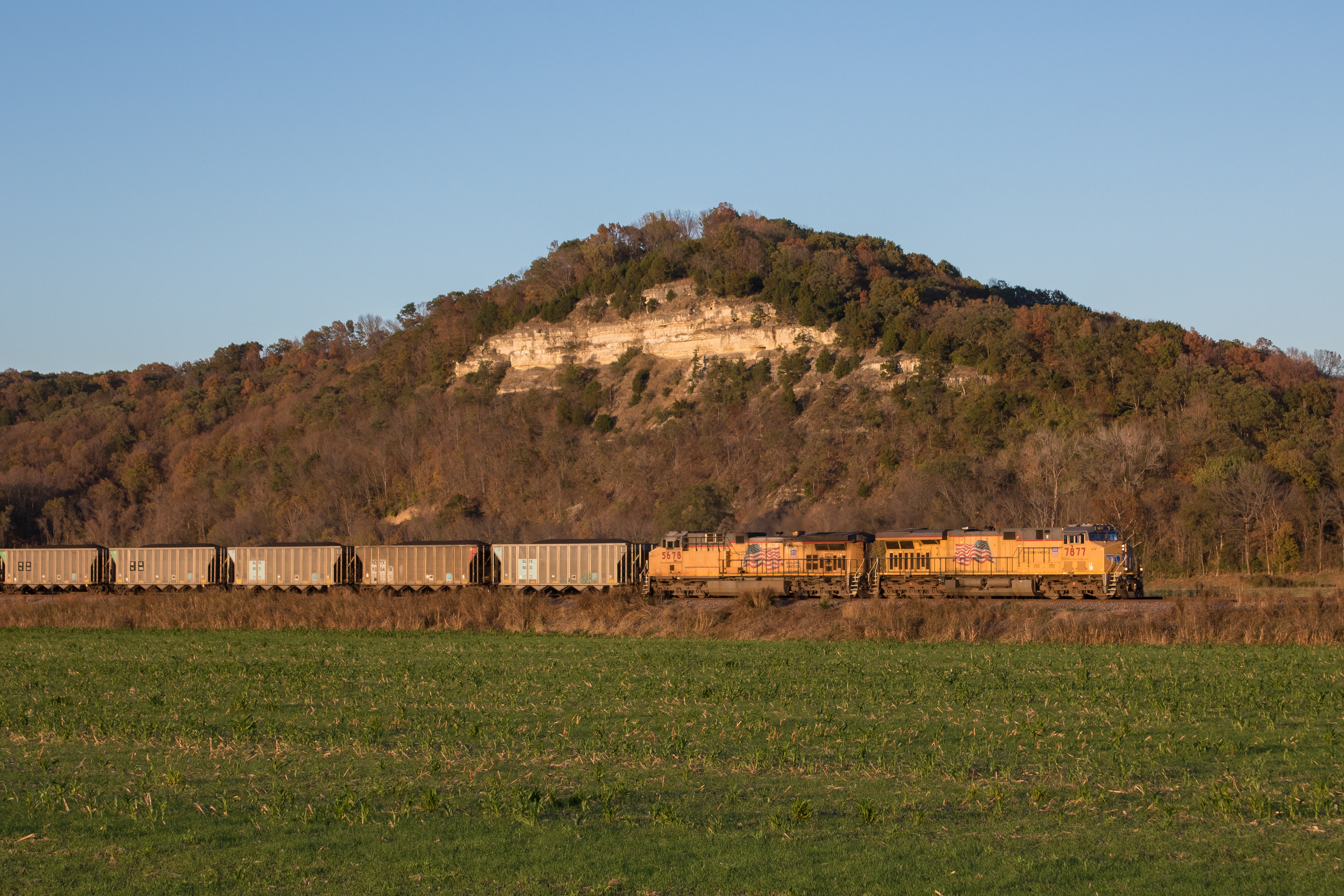
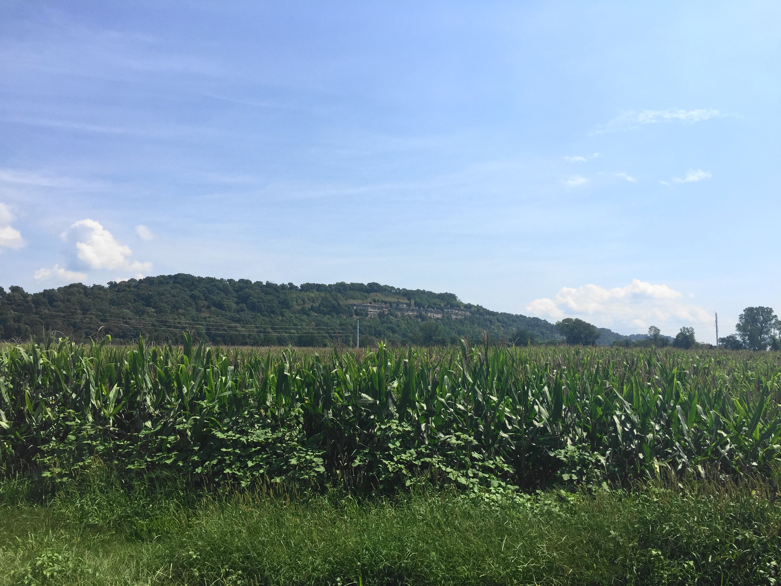
GEVOs of the Corn

Creek 2

IMG_4560 a

Little Bugger
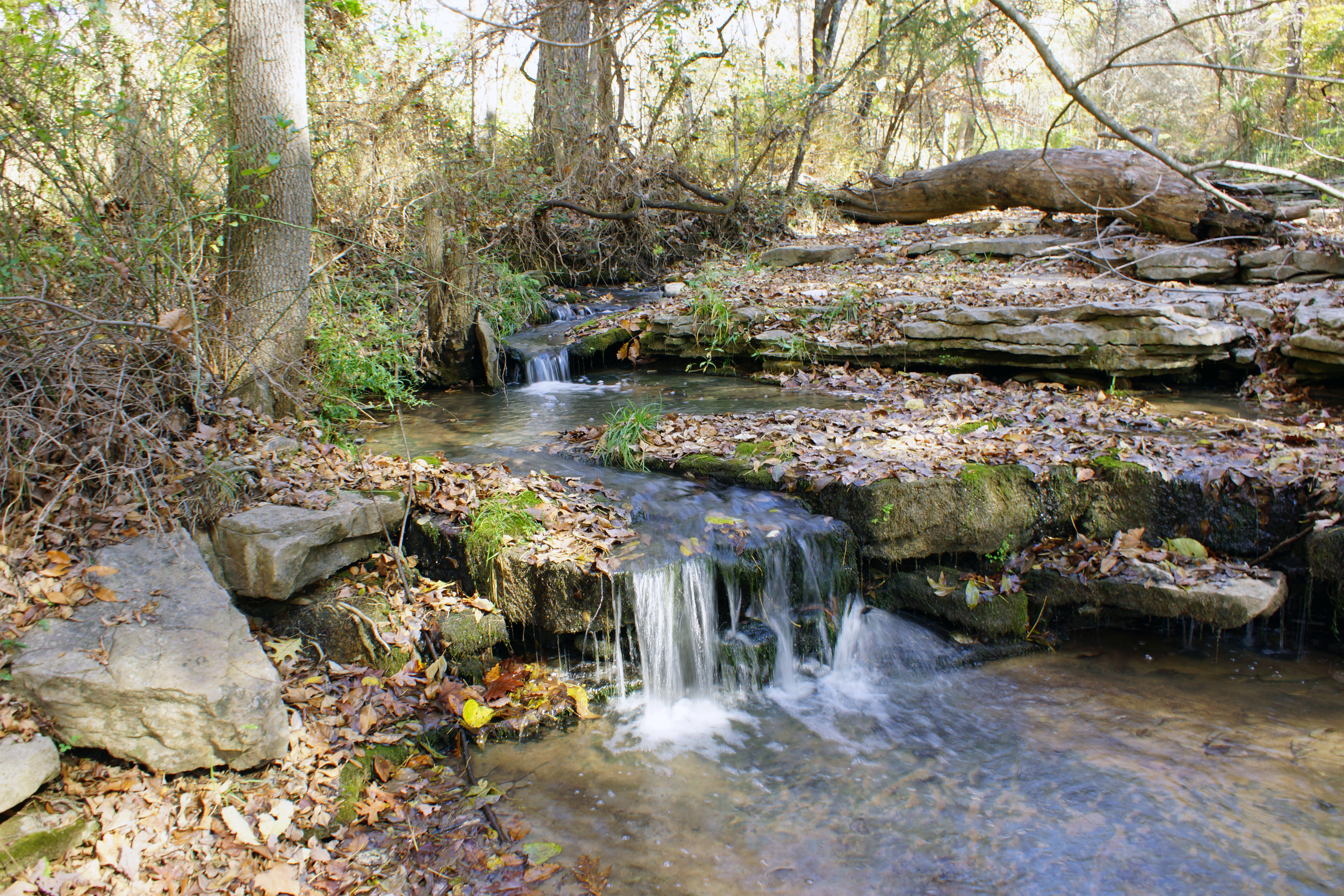
Creek 1

Earth Knowledge

QASLI 19 Through the Illinois Farmland
Angle to Key West
Grown UP

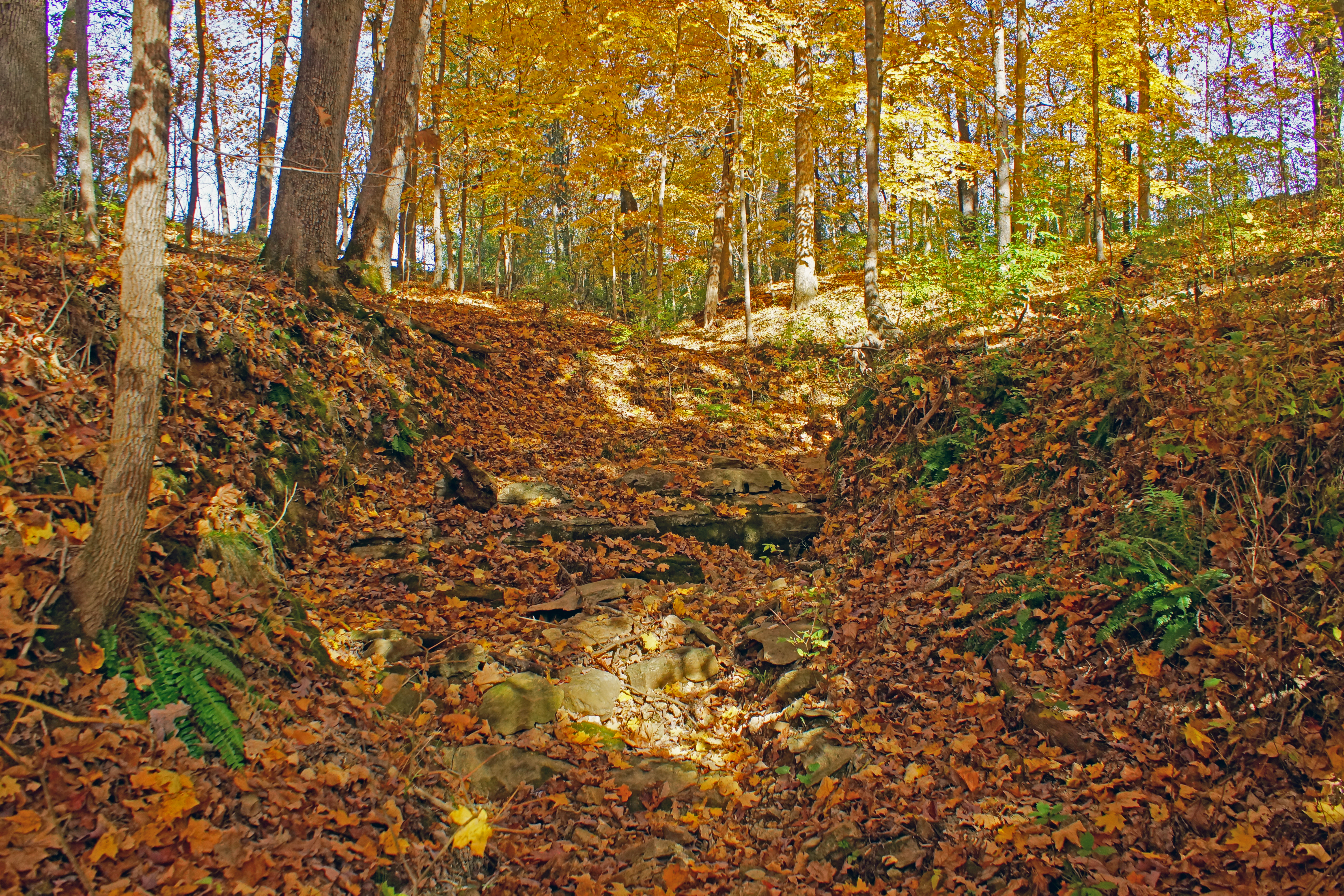
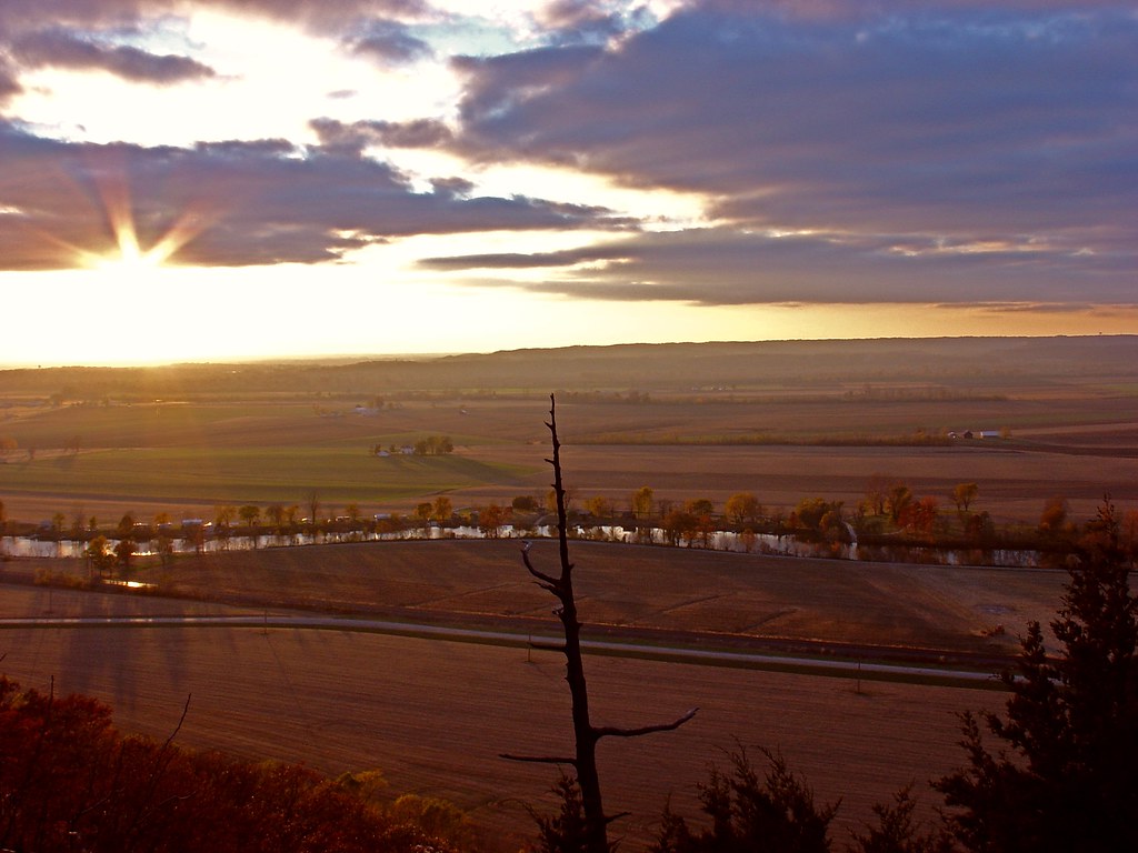
Late Autumn Colors

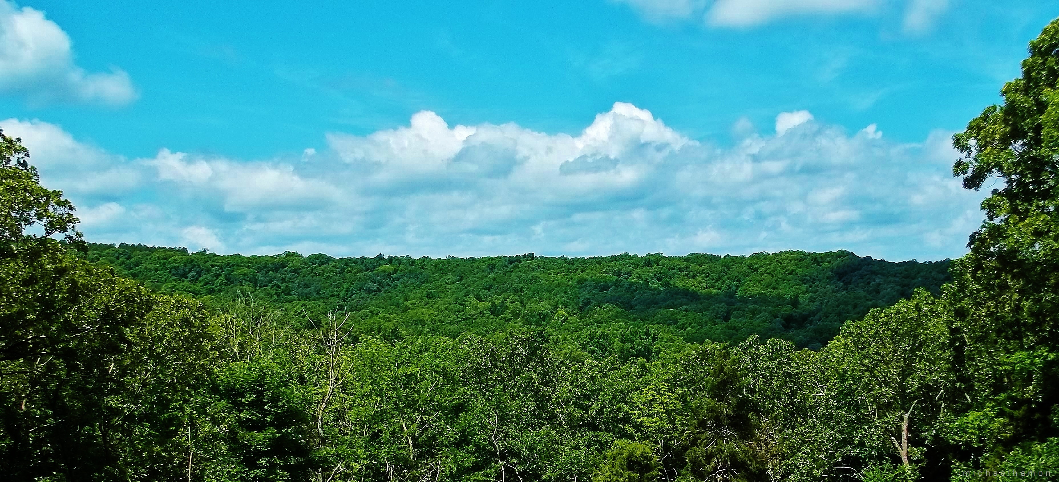
The Sky

Version 2
Timber Creek

Fults Hill nature reserve.
Fults Nature Preserve
S. Ill Trip 151
Fults, Illinois
Topographic Map of State Rd TT, Festus, MO, USA
Find elevation by address:

Places near State Rd TT, Festus, MO, USA:
Festus, MO, USA
Plattin Township
2720 Lee Pyle Rd
Selma Rd, De Soto, MO, USA
13864 Rouggly Rd
Laguna Palma Rd, De Soto, MO, USA
East Tomahawk
West Tomahawk Trail
State Hwy JJ, De Soto, MO, USA
4152 Ridge Dr
De Soto
Valle Township
Silver Springs Rd, Bonne Terre, MO, USA
4th Street
State Rd E, De Soto, MO, USA
Vineland Rd, De Soto, MO, USA
Big River Township
5732 Big River Heights Rd
5858 Big River Heights Rd
44 Britton Rd, De Soto, MO, USA
Recent Searches:
- Elevation of Pykes Down, Ivybridge PL21 0BY, UK
- Elevation of Jalan Senandin, Lutong, Miri, Sarawak, Malaysia
- Elevation of Bilohirs'k
- Elevation of 30 Oak Lawn Dr, Barkhamsted, CT, USA
- Elevation of Luther Road, Luther Rd, Auburn, CA, USA
- Elevation of Unnamed Road, Respublika Severnaya Osetiya — Alaniya, Russia
- Elevation of Verkhny Fiagdon, North Ossetia–Alania Republic, Russia
- Elevation of F. Viola Hiway, San Rafael, Bulacan, Philippines
- Elevation of Herbage Dr, Gulfport, MS, USA
- Elevation of Lilac Cir, Haldimand, ON N3W 2G9, Canada