Elevation of State Rd S-20-, Ridgeway, SC, USA
Location: United States > South Carolina > Fairfield County > Ridgeway >
Longitude: -80.996201
Latitude: 34.311127
Elevation: 184m / 604feet
Barometric Pressure: 99KPa
Elevation Map:
Satellite Map:
Related Photos:

Biscuit in the woods

Plan #1301-D - The Chatsworth

Shelton 1930s Boom Town

Ebenezer ARP Church-026

Ebenezer ARP Church-034

North Quarry 1

South Quarry 1

South Quarry 3

South Quarry 4

South Quarry 2
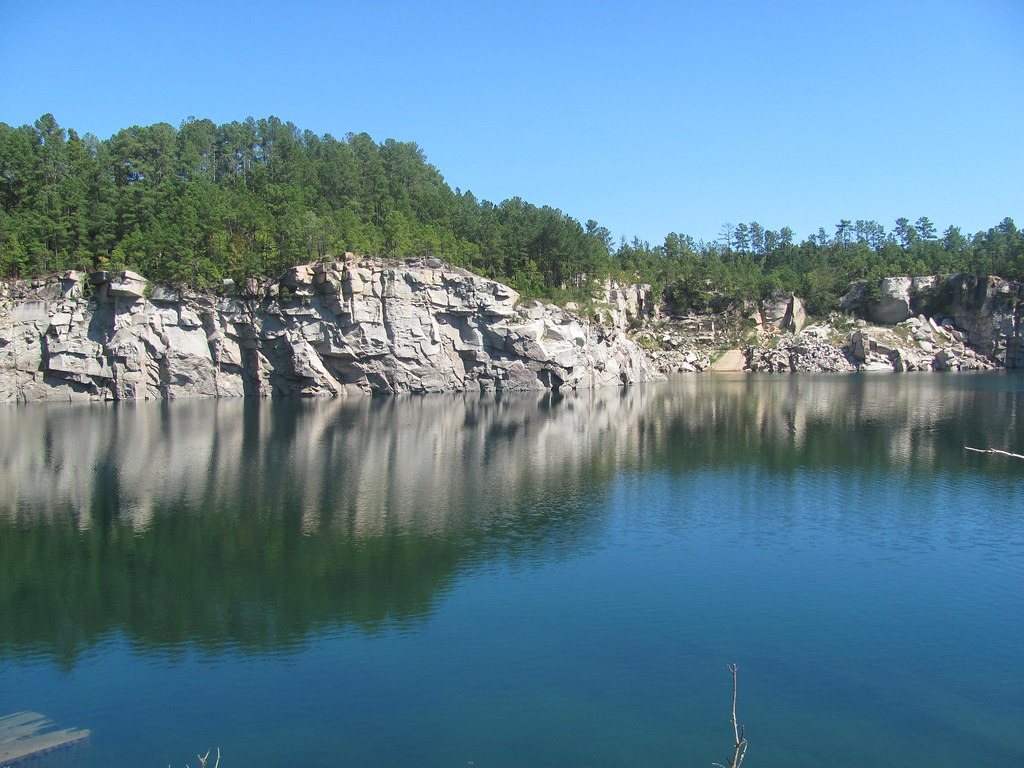
North Quarry 3

Hdr_Collection Naturelovers Countryside Winterscapes
Topographic Map of State Rd S-20-, Ridgeway, SC, USA
Find elevation by address:

Places near State Rd S-20-, Ridgeway, SC, USA:
Ridgeway
513 Us-21
US-21, Ridgeway, SC, USA
3773 Syrup Mill Rd
1502 Gum Springs Rd
214 Camp Agape Rd
5563 Us-21
Blythewood
Blythewood
10901 Wilson Blvd
1021 Sease Rd
Winnsboro
216 Surreywood Ln
1541 Blythewood Rd
2351 Longtown Rd E
14 Ascot Ct
1133 Grover Wilson Rd
1492 Fulmer Rd
110 Sterling Point Rd
6 Roe Deer Ct
Recent Searches:
- Elevation of Leguwa, Nepal
- Elevation of County Rd, Enterprise, AL, USA
- Elevation of Kolchuginsky District, Vladimir Oblast, Russia
- Elevation of Shustino, Vladimir Oblast, Russia
- Elevation of Lampiasi St, Sarasota, FL, USA
- Elevation of Elwyn Dr, Roanoke Rapids, NC, USA
- Elevation of Congressional Dr, Stevensville, MD, USA
- Elevation of Bellview Rd, McLean, VA, USA
- Elevation of Stage Island Rd, Chatham, MA, USA
- Elevation of Shibuya Scramble Crossing, 21 Udagawacho, Shibuya City, Tokyo -, Japan