Elevation map of State of Rondônia, Brazil
Location: Brazil >
Longitude: -63.580611
Latitude: -11.505734
Elevation: 214m / 702feet
Barometric Pressure: 99KPa
Elevation Map:
Satellite Map:
Related Photos:
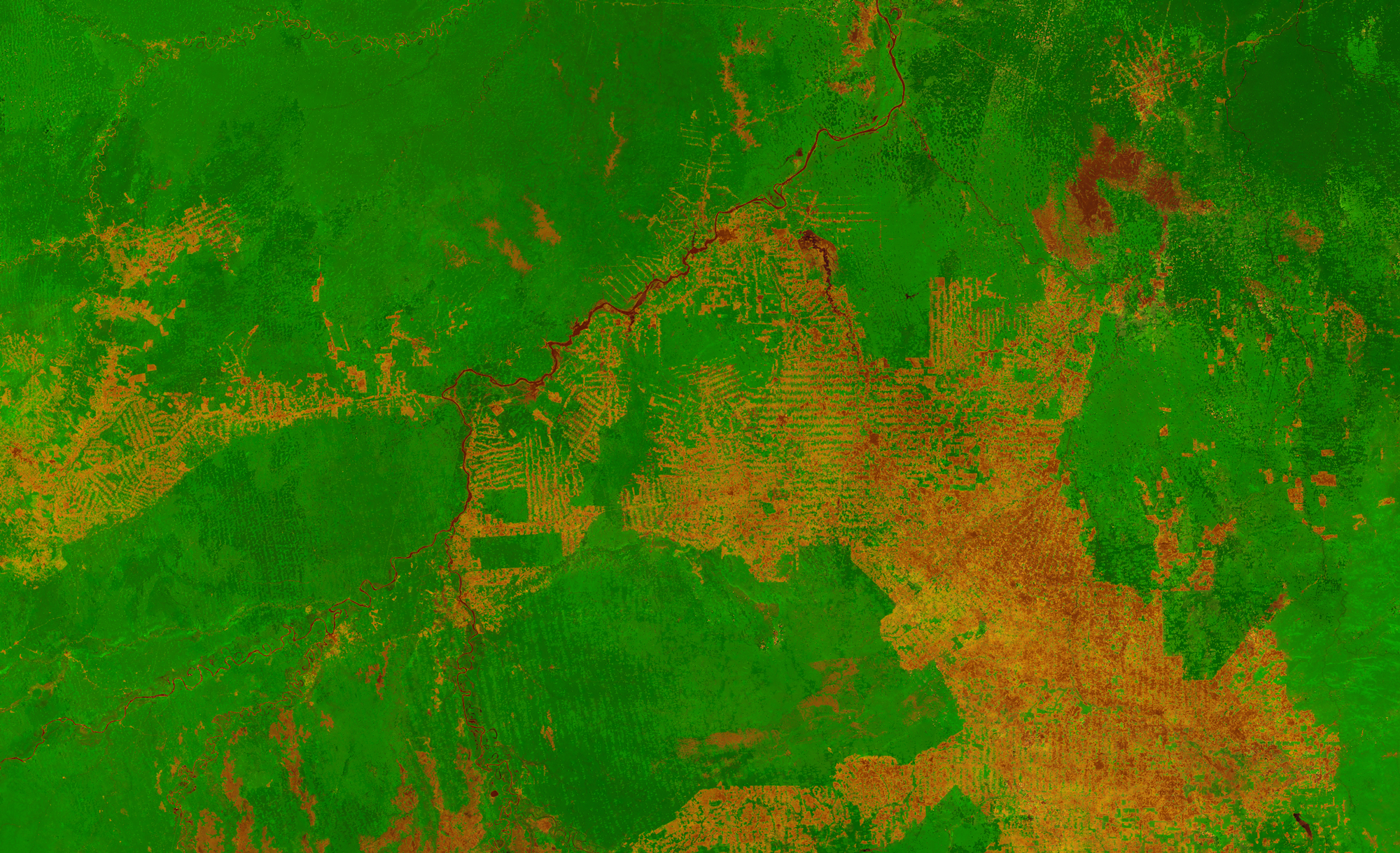
Proba-V image of western Brazil
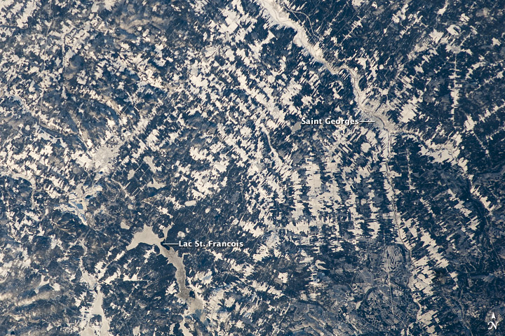
Agricultural Patterns, Quebec
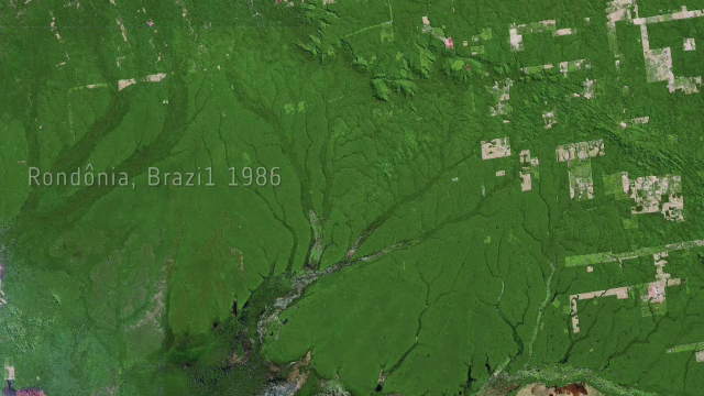
Earth from Space: Adeus, Amazon

Tocantins State / Estado de Tocantins (Brasil)

Mato Grosso State / Estado (Brasil)
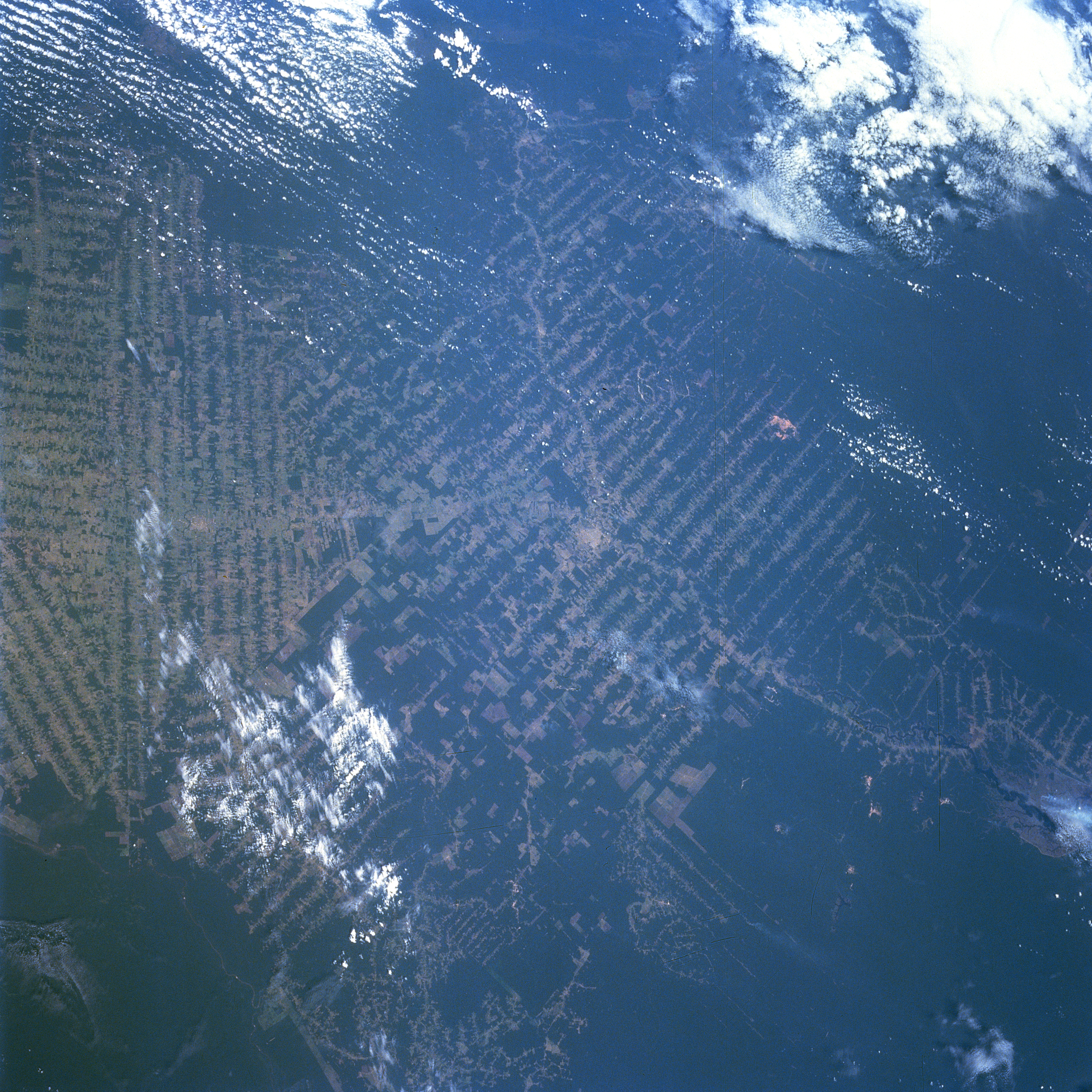
sts079-785-102
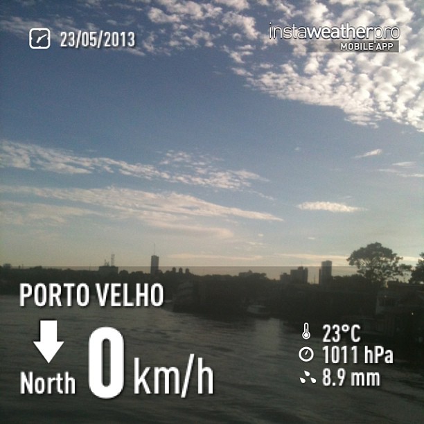
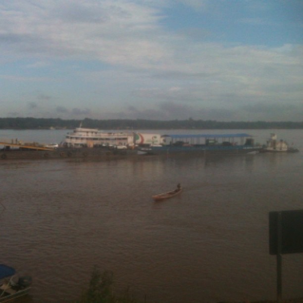
Netizens good-Day Friends! Poss Today we have almost one-third of the load as possible, the Sao Rafael Ferry await arrival of new lifts and without a prediction-logic for such complementos.Amanheceu with beautiful sunshine here in PVH City, Rondonia State
Netizens good-Day Friends! Poss Today we have almost one-third of the load as possible, the Sao Rafael Ferry await arrival of new lifts and without a prediction-logic for such complementos.Amanheceu with beautiful sunshine here in PVH City, Rondonia State
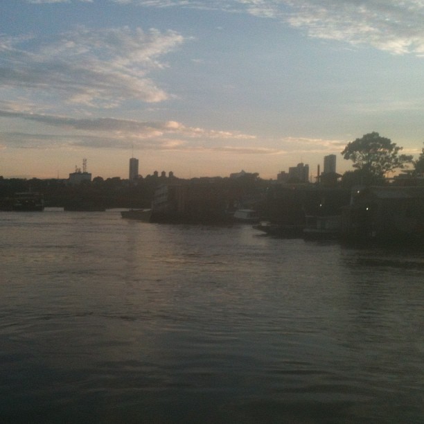
The Cai N' Agua Port, Porto-Velho Coty, Rondonia State,Brazil.Later go to a Center of Town...
Topographic Map of State of Rondônia, Brazil
Find elevation by address:

Places in State of Rondônia, Brazil:
Recent Searches:
- Elevation of Snake Hill Rd, North Scituate, RI, USA
- Elevation of Lake Shore Dr, Warwick, RI, USA
- Elevation of E Brightview Ave, Pittsburgh, PA, USA
- Elevation of Cavendish Rd, Harringay Ladder, London N4 1RR, UK
- Elevation of 1 Zion Park Blvd, Springdale, UT, USA
- Elevation of Ganderbal
- Elevation map of Konkan Division, Maharashtra, India
- Elevation of Netaji Nagar, Hallow Pul, Kurla, Mumbai, Maharashtra, India
- Elevation of Uralsk, Kazakhstan
- Elevation of 45- Kahana Dr, Honokaa, HI, USA