Elevation of State Hwy, Townsend, MT, USA
Location: United States > Montana > Broadwater County > Townsend >
Longitude: -111.48981
Latitude: 46.523204
Elevation: 1237m / 4058feet
Barometric Pressure: 87KPa
Elevation Map:
Satellite Map:
Related Photos:
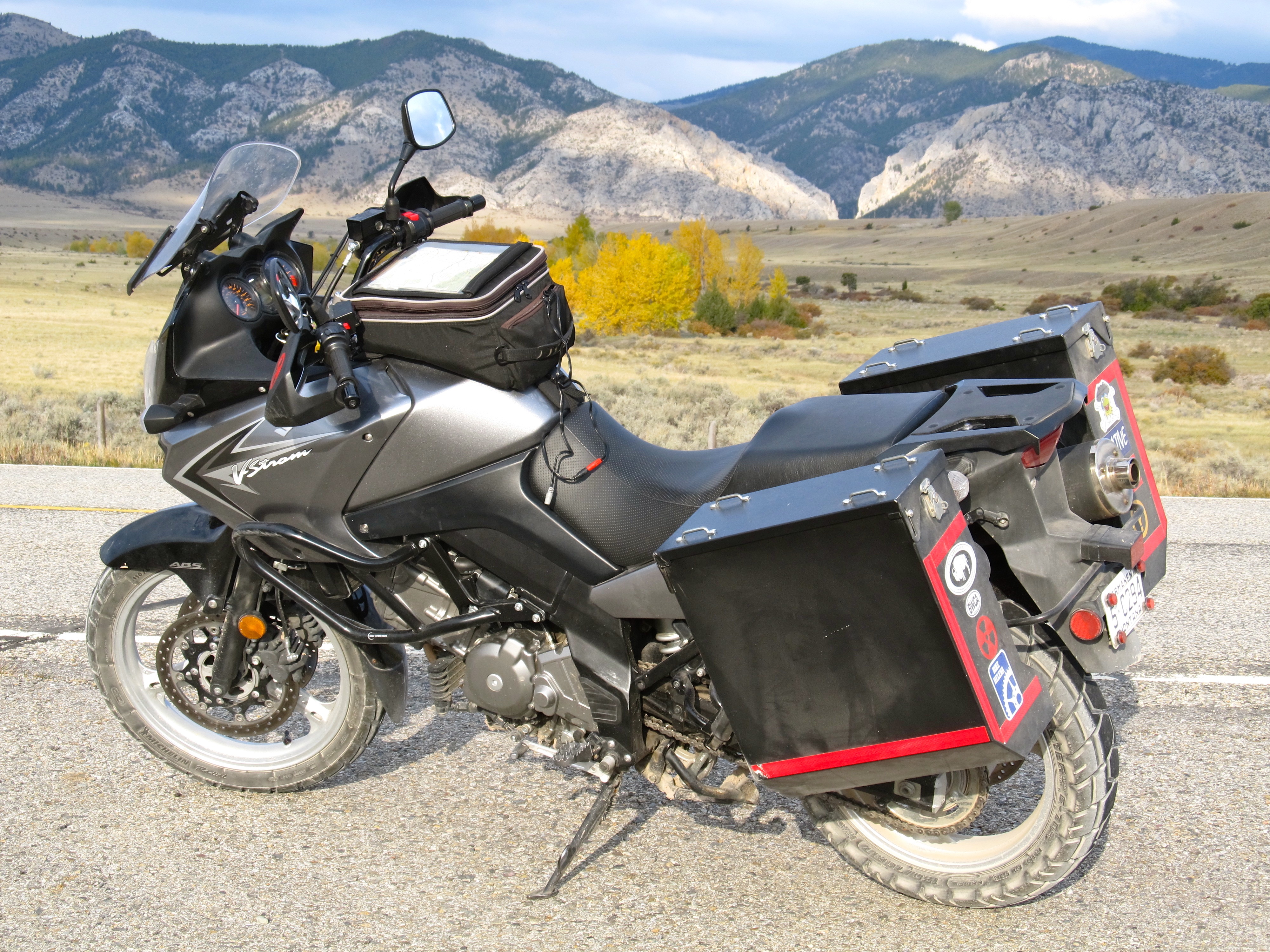
The Big Belt Mountains. Montana
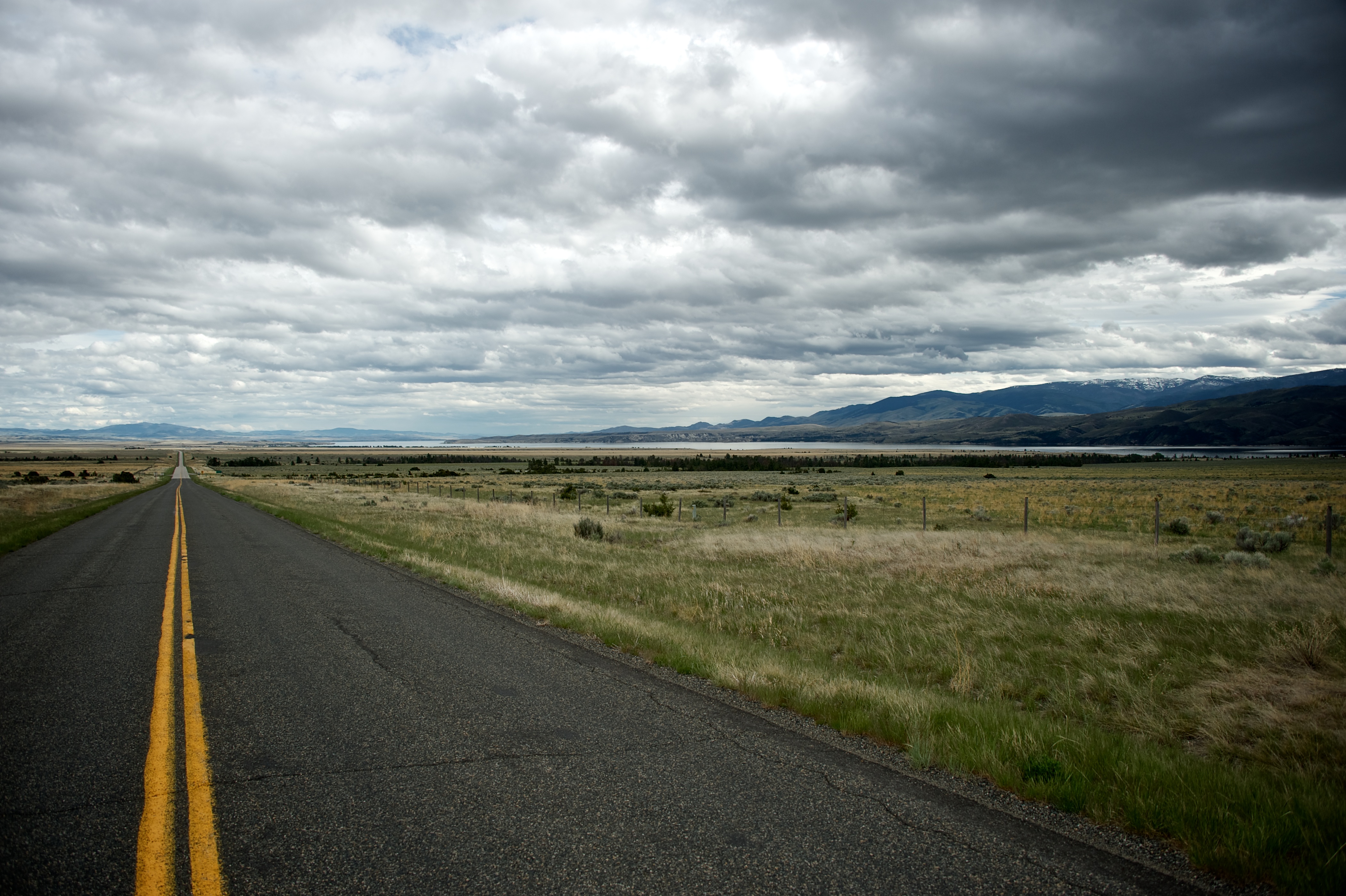
107 The Road
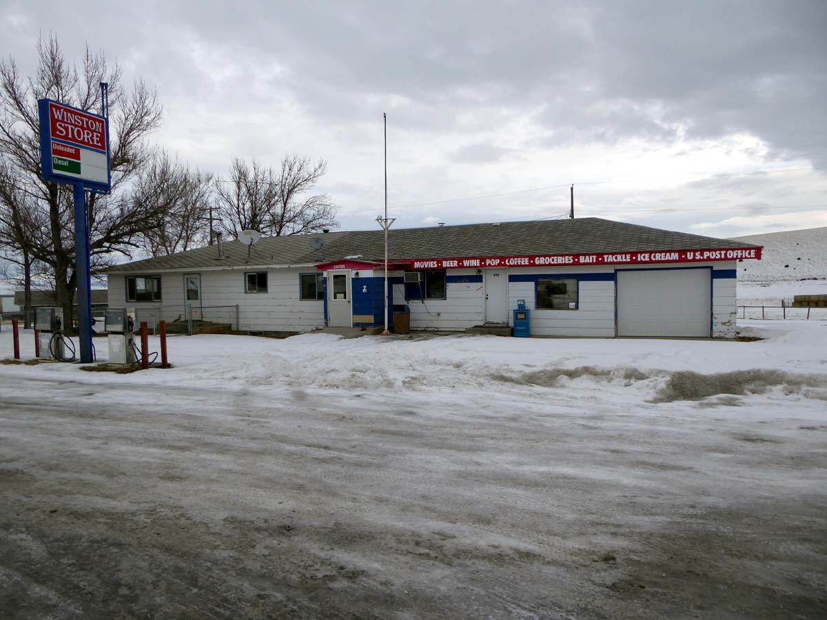
Winston, Montana 59647
Big Belt Mountains. Montana
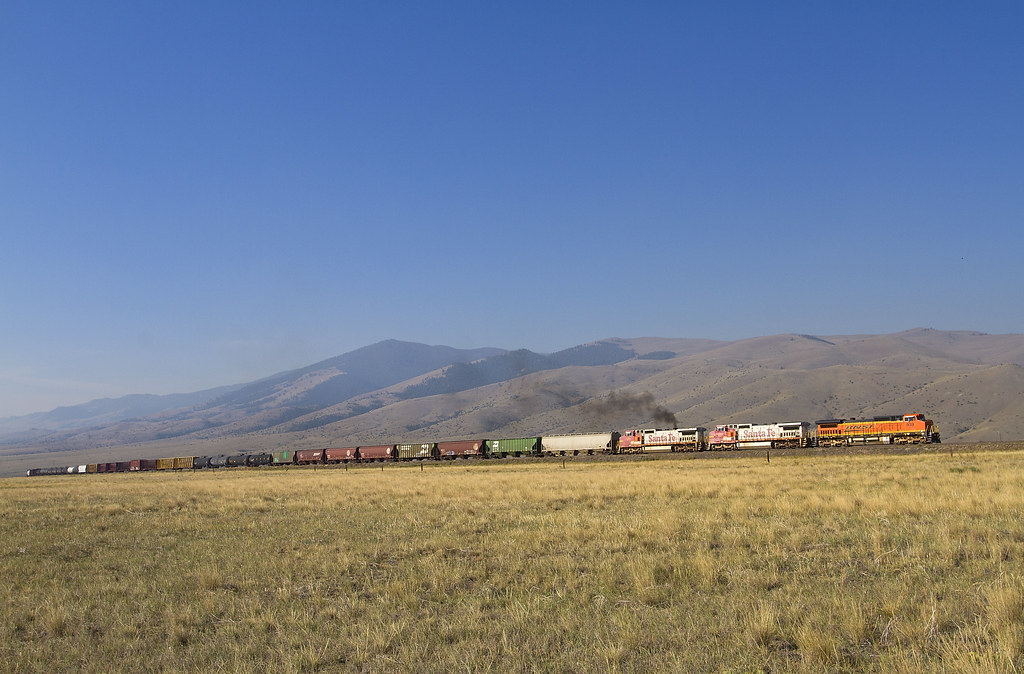
Dash 8s up the hill
Photograph This!
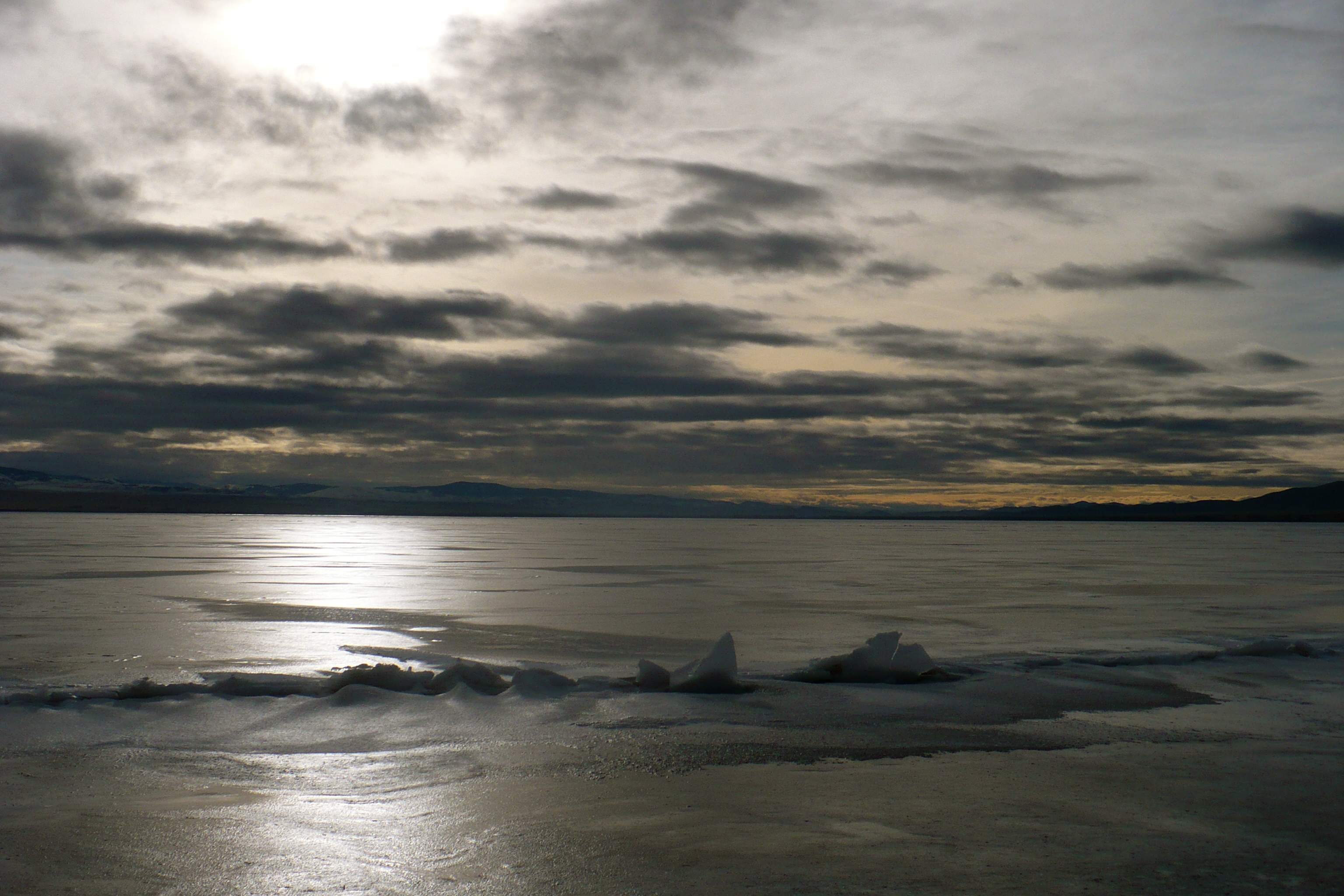
Ice on Canyon Ferry Lake

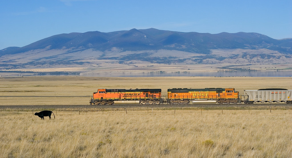
Canyon Ferry Lake
Avalanche MT

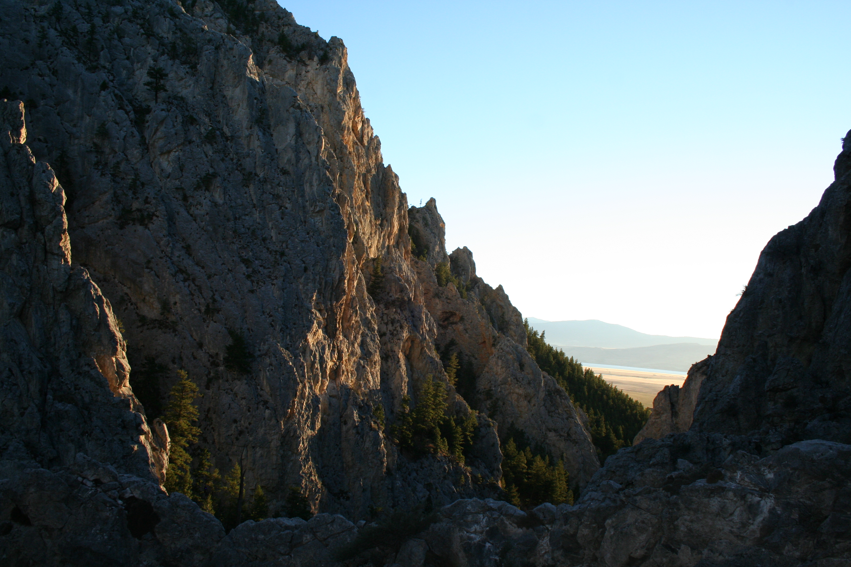
Dwarfed by Mountains
Topographic Map of State Hwy, Townsend, MT, USA
Find elevation by address:

Places near State Hwy, Townsend, MT, USA:
White Gulch Rd, Townsend, MT, USA
76 Weasel Creek Rd
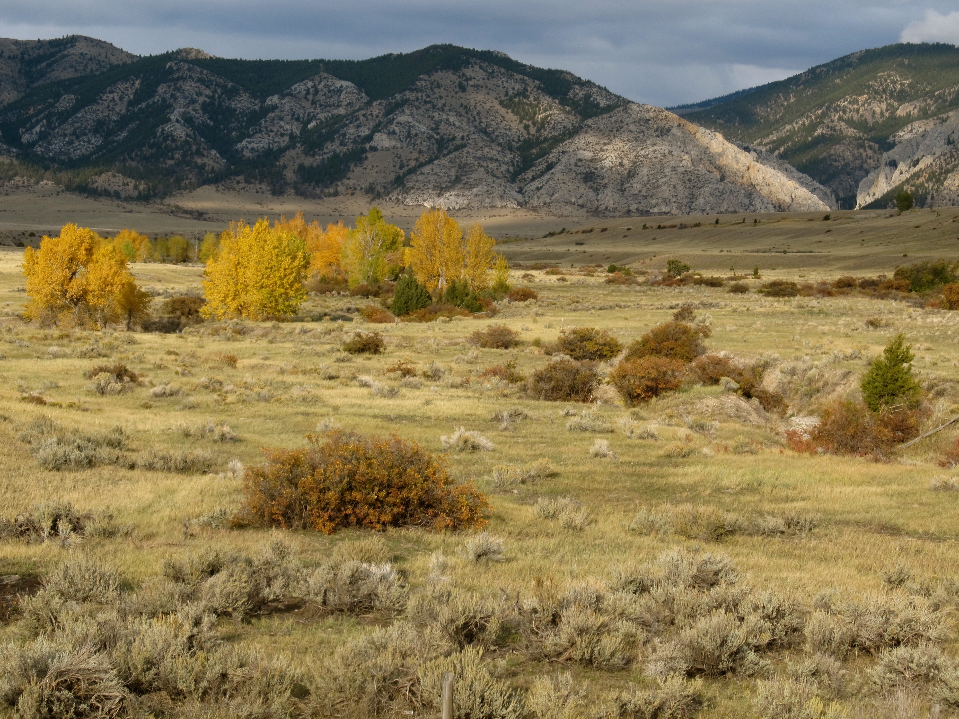
Big Belt Mountains
154 Jimmy Green Rd
Mount Baldy
3 Rocking Km Rd
3855 Osprey Ridge Dr
Edith Lake
2580 Spokane Creek Rd
2525 Mitchell Gulch Rd
3635 Keir Dr
7180 Trout Creek Rd
Hwy, White Sulphur Springs, MT, USA
Casey Peak
High Peak
3270 Wheatland Dr
5230 Peaks View Dr
5330 York Rd
4540 Agape Rd
4510 Agape Rd
Recent Searches:
- Elevation of Corso Fratelli Cairoli, 35, Macerata MC, Italy
- Elevation of Tallevast Rd, Sarasota, FL, USA
- Elevation of 4th St E, Sonoma, CA, USA
- Elevation of Black Hollow Rd, Pennsdale, PA, USA
- Elevation of Oakland Ave, Williamsport, PA, USA
- Elevation of Pedrógão Grande, Portugal
- Elevation of Klee Dr, Martinsburg, WV, USA
- Elevation of Via Roma, Pieranica CR, Italy
- Elevation of Tavkvetili Mountain, Georgia
- Elevation of Hartfords Bluff Cir, Mt Pleasant, SC, USA