Elevation of State Hwy F, Niangua, MO, USA
Location: United States > Missouri > Webster County > Niangua >
Longitude: -92.781437
Latitude: 37.3996717
Elevation: 408m / 1339feet
Barometric Pressure: 97KPa
Elevation Map:
Satellite Map:
Related Photos:

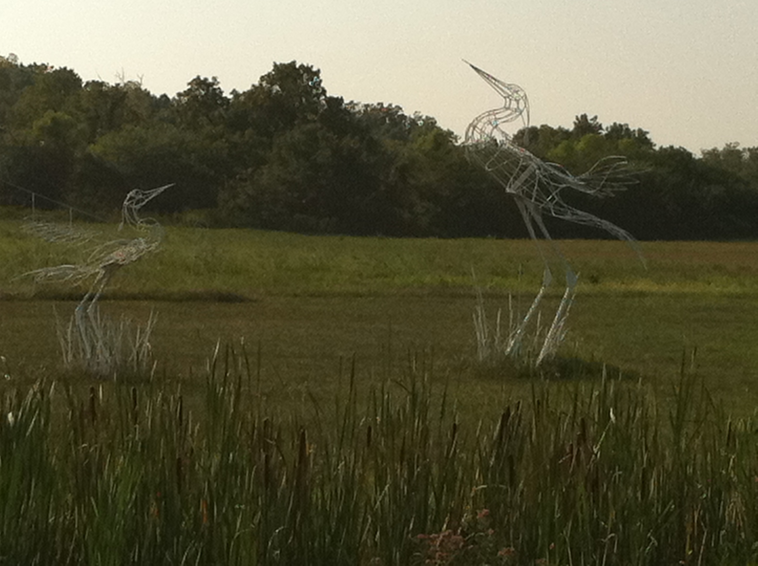
Hidden Waters Park

Hidden Waters Park

10-06-07 Day 10 - Route 66
Devils elbow
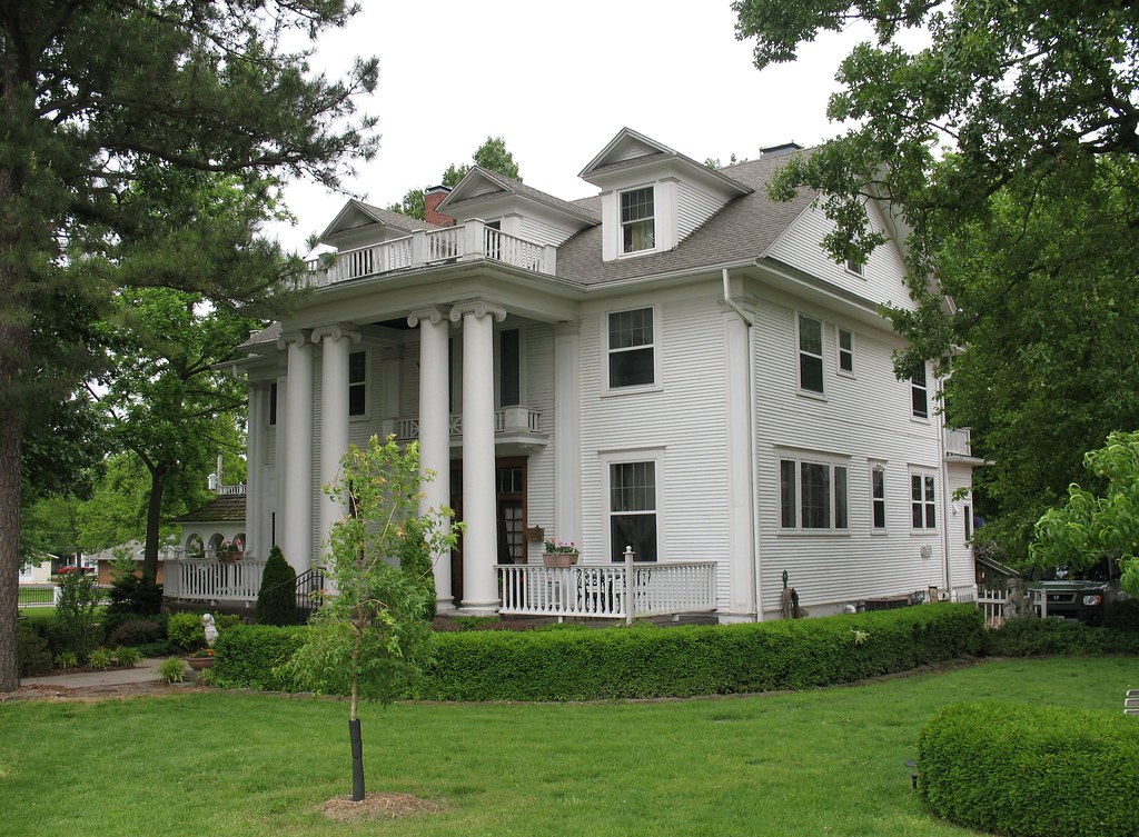
Dickey House Marshfield MO

Hidden Waters Park
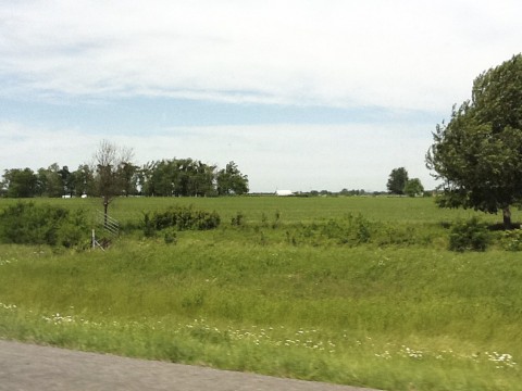
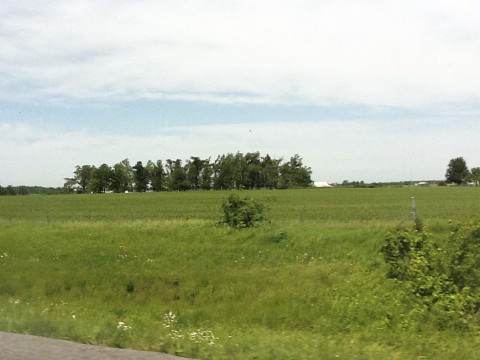
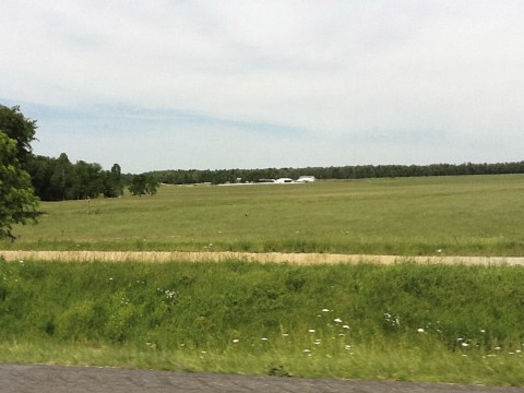
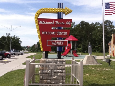
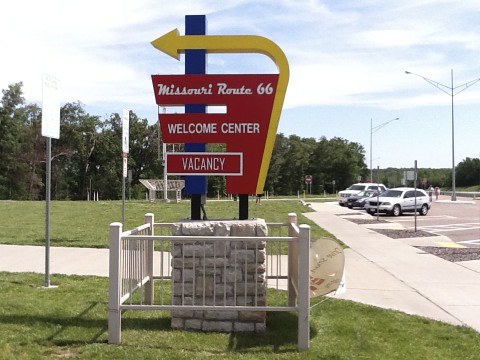
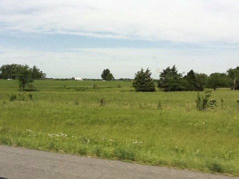
Route 66
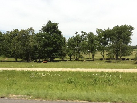
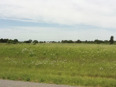
Route 66
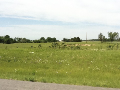
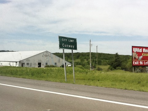
Route 66
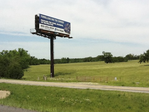
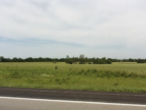
Route 66
Route 66
Route 66
Route 66
Route 66
Route 66
Route 66
Route 66
Route 66
Route 66
Route 66
Route 66
Topographic Map of State Hwy F, Niangua, MO, USA
Find elevation by address:

Places near State Hwy F, Niangua, MO, USA:
3292 State Hwy F
3292 State Hwy F
3292 State Hwy F
1092 Union Rd
Niangua
State Hwy M, Niangua, MO, USA
Lockwood Refrigeration
Duncan Rd, Marshfield, MO, USA
6933 State Hwy C
1455 Mo-38
Hazelwood Township
2 Miles N On C From Seymour, Seymour, MO, USA
1268 Winningham Rd
1268 Winningham Rd
489 Old Jericho Rd
489 Old Jericho Rd
389 Old Jericho Rd
Wright County
226 N Main St
Seymour
Recent Searches:
- Elevation of Doe Cir, Clinton, OH, USA
- Elevation of Narhe, Pune, Maharashtra, India
- Elevation of Martins Mill Ct, Eagle Rock, NC, USA
- Elevation of Kippen, Stirling FK8, UK
- Elevation of Sieveringer Straße, Sieveringer Str., Wien, Austria
- Elevation of Bratskaya Ulitsa, 24, Kurgan, Kurganskaya oblast', Russia
- Elevation of Paradisvegen, Biri, Norway
- Elevation of Crystal Cir, Birmingham, AL, USA
- Elevation of N Railroad Ave, West Palm Beach, FL, USA
- Elevation of 55 Cassick Valley Rd, Wellfleet, MA, USA