Elevation of State Hwy F, Cardwell, MO, USA
Location: United States > Missouri > Dunklin County > Buffalo Township > Cardwell >
Longitude: -90.338118
Latitude: 36.0097796
Elevation: 72m / 236feet
Barometric Pressure: 100KPa
Elevation Map:
Satellite Map:
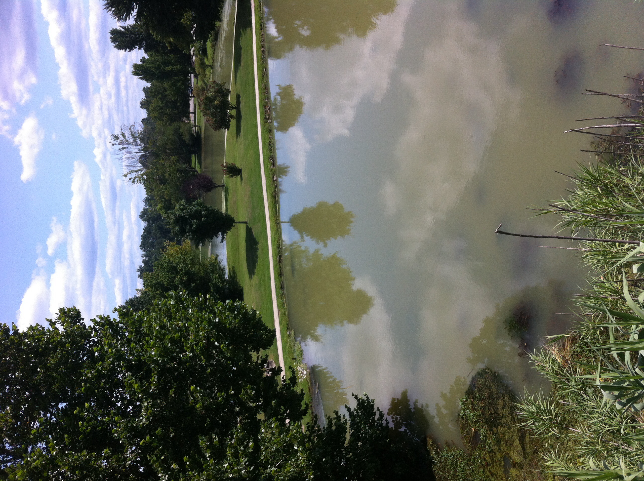
Related Photos:
Patchfinder 10/4
Patchfinder 10/4

Patchfinder 10/4

Patchfinder 10/4
Patchfinder 10/4

Patchfinder 10/4

Patchfinder 10/4
Patchfinder 10/4
Patchfinder 10/4
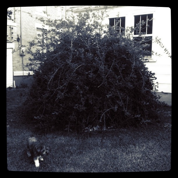
Big bush || #zoepup #dome #bush...
Patchfinder 10/4
Patchfinder 10/4
Patchfinder 10/4
Patchfinder 10/4
Patchfinder 10/4
Topographic Map of State Hwy F, Cardwell, MO, USA
Find elevation by address:

Places near State Hwy F, Cardwell, MO, USA:
Cardwell
E Poole St, Cardwell, MO, USA
Buffalo Township
CR, Brookland Township, AR, USA
Leachville
E 3rd St, Leachville, AR, USA
W Drew Ave, Monette, AR, USA
Monette
304 S 16th Ave
AR-18, Leachville, AR, USA
Neal Township
State Hwy, Lake City, AR, USA
N Co Rd 17, Leachville, AR, USA
US 49, Marmaduke, AR, USA
Wonder Pool Co - Inground Pool Kits
Lester Township
120 W Court St
Clark Township
3162 Greene Rd 514
3162 Greene Rd 514
Recent Searches:
- Elevation of N Railroad Ave, West Palm Beach, FL, USA
- Elevation of 55 Cassick Valley Rd, Wellfleet, MA, USA
- Elevation of Ironwood Dr, Minden, NV, USA
- Elevation of 高尾山口駅, Takaomachi, Hachioji, Tokyo -, Japan
- Elevation of 15 Victory Ave, Greenville, SC, USA
- Elevation of Kota Ternate Utara, Ternate City, North Maluku, Indonesia
- Elevation of Allon St, Oceanside, NY, USA
- Elevation of Carroll Creek Rd, Custer, SD, USA
- Elevation of Lust Road, Lust Rd, Florida, USA
- Elevation of Pleasant Valley Rd NW, Adairsville, GA, USA