Elevation of State Hwy EE, Marston, MO, USA
Location: United States > Missouri > New Madrid County >
Longitude: -89.611771
Latitude: 36.5186882
Elevation: 89m / 292feet
Barometric Pressure: 100KPa
Elevation Map:
Satellite Map:
Related Photos:
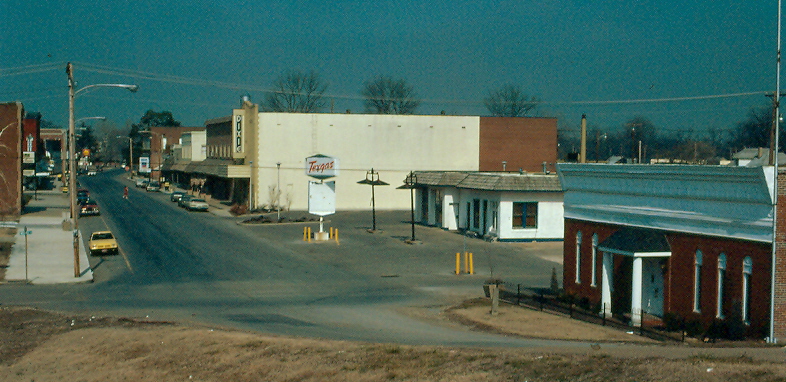
New Madrid (Mo.), 18 February 1983

Island No 10 009
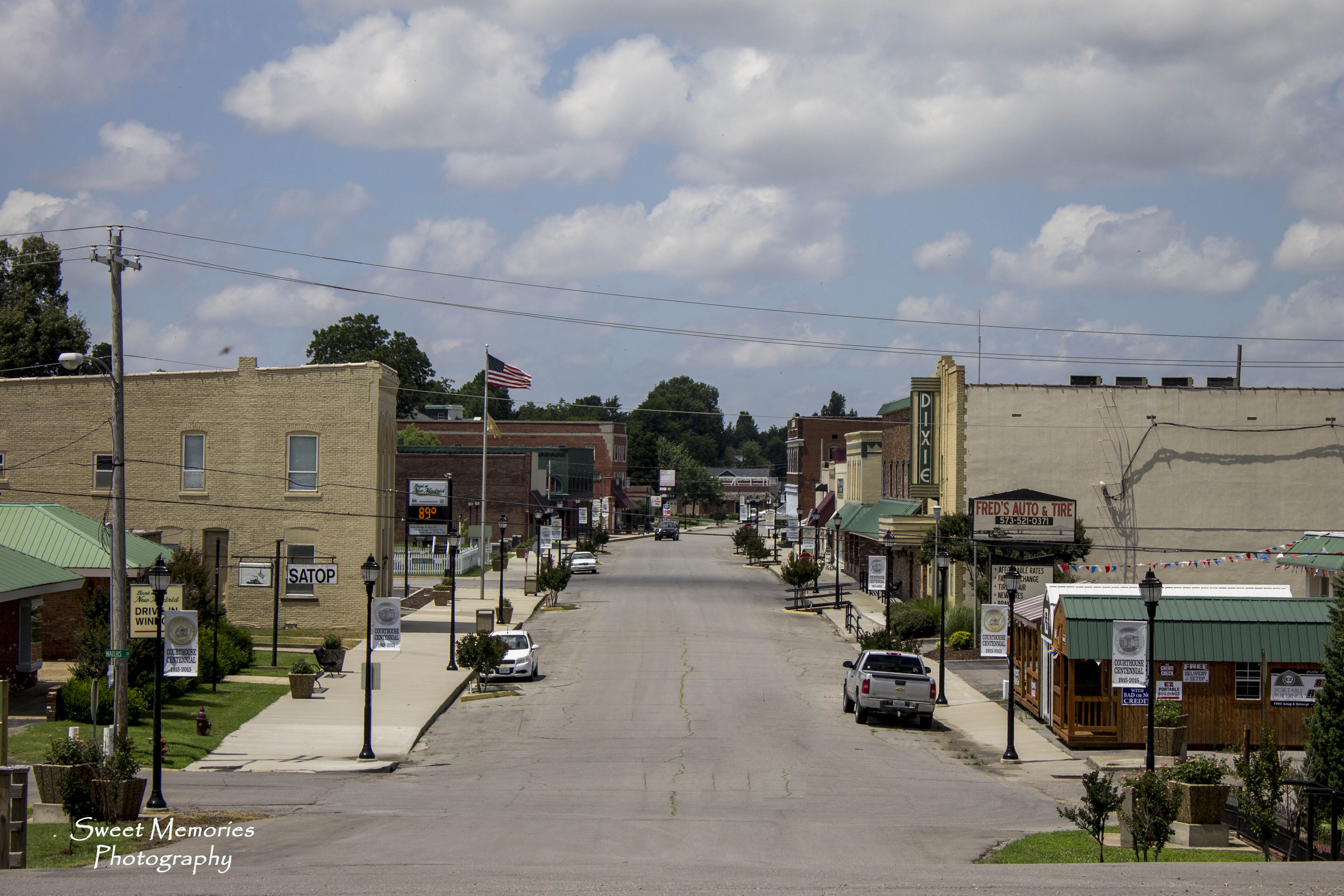
Main Street

Barges on the Mississippi
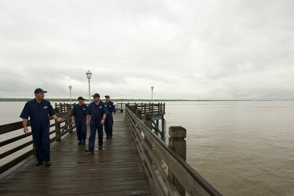
Mississippi River @ New Madrid

Angle to Key West

New Madrid (Mo.), 1 August 1989

Angle to Key West

18 July 2009 /5:18.17pm

2010-11-28 13.33.04
Topographic Map of State Hwy EE, Marston, MO, USA
Find elevation by address:

Places near State Hwy EE, Marston, MO, USA:
E Main St, Portageville, MO, USA
Portageville
517 W Main St
TN-22, Tiptonville, TN, USA
New Madrid County
Portage Township
327 Wynn St
212 Cherry St
Tiptonville
State Route 22, Tiptonville, TN, USA
Mooring Rd, Tiptonville, TN, USA
Lake County
25 Club House Ln, Tiptonville, TN, USA
TN-21, Tiptonville, TN, USA
Grays Camp Ln, Tiptonville, TN, USA
Grays Camp Rd, Tiptonville, TN, USA
Ridgely
N Bluff Rd, Hornbeak, TN, USA
Titan Rd, Ridgely, TN, USA
Hayti
Recent Searches:
- Elevation of Dog Leg Dr, Minden, NV, USA
- Elevation of Dog Leg Dr, Minden, NV, USA
- Elevation of Kambingan Sa Pansol Atbp., Purok 7 Pansol, Candaba, Pampanga, Philippines
- Elevation of Pinewood Dr, New Bern, NC, USA
- Elevation of Mountain View, CA, USA
- Elevation of Foligno, Province of Perugia, Italy
- Elevation of Blauwestad, Netherlands
- Elevation of Bella Terra Blvd, Estero, FL, USA
- Elevation of Estates Loop, Priest River, ID, USA
- Elevation of Woodland Oak Pl, Thousand Oaks, CA, USA