Elevation of State Hwy, Bono, AR, USA
Location: United States > Arkansas > Greene County > Shady Grove Township >
Longitude: -90.808440
Latitude: 35.9999579
Elevation: 80m / 262feet
Barometric Pressure: 100KPa
Elevation Map:
Satellite Map:
Related Photos:
IMG_1585
#34 Call of Nature

can you see me
Lake Frierson

I promise Jodi & I didn't dress our kids alike on purpose!

UP AC44CW 6152
BNSF & CP at Bono Pano!
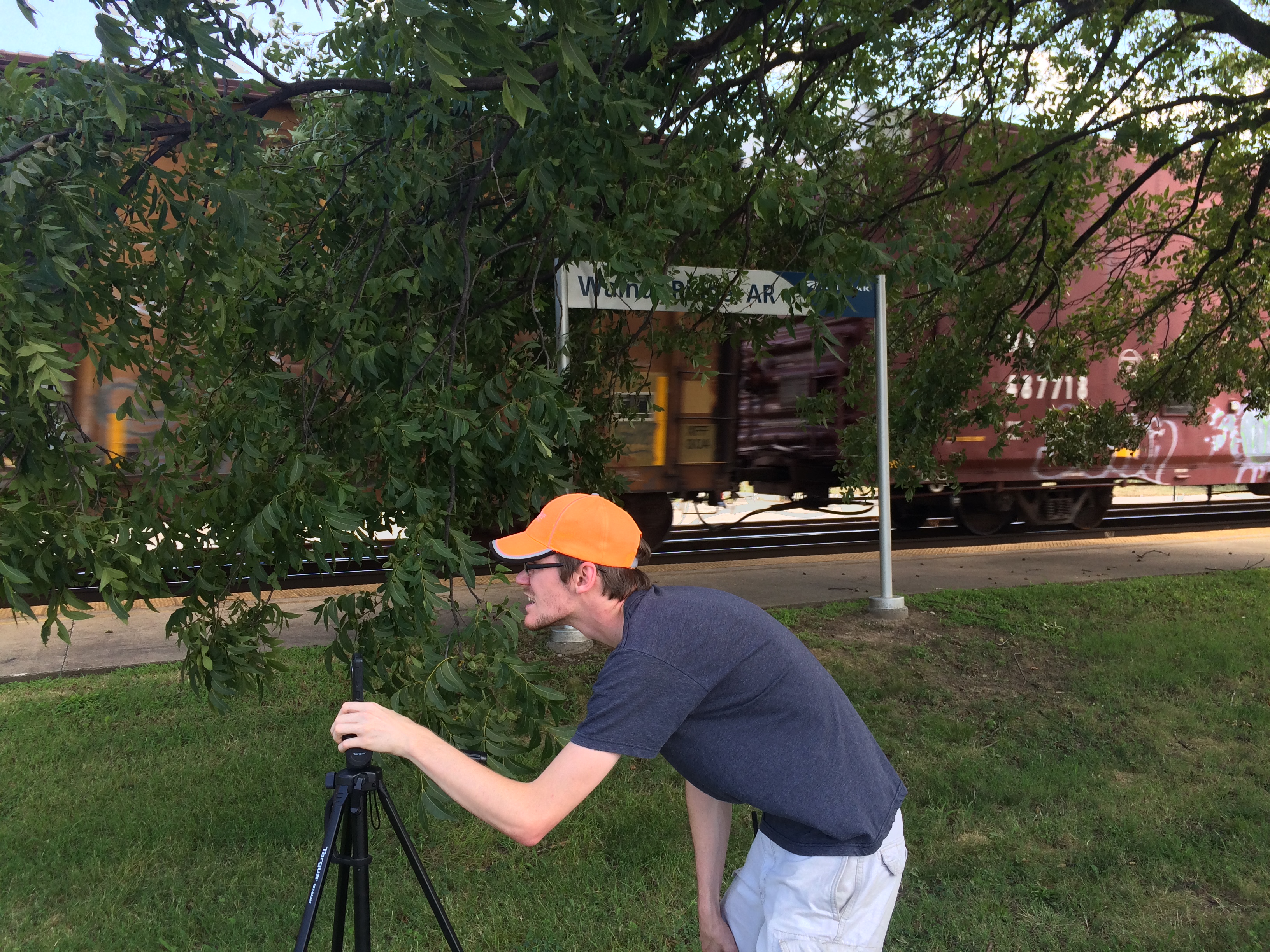
Nick in Walnut Ridge
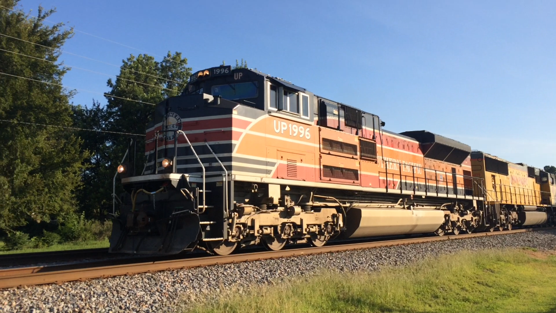
UP SD70ACe 1996 (Southern Pacific Heritage)

KCS SD70ACe 4057

The Fab Four: Paul, Robin, George, and Ringo's Nose.
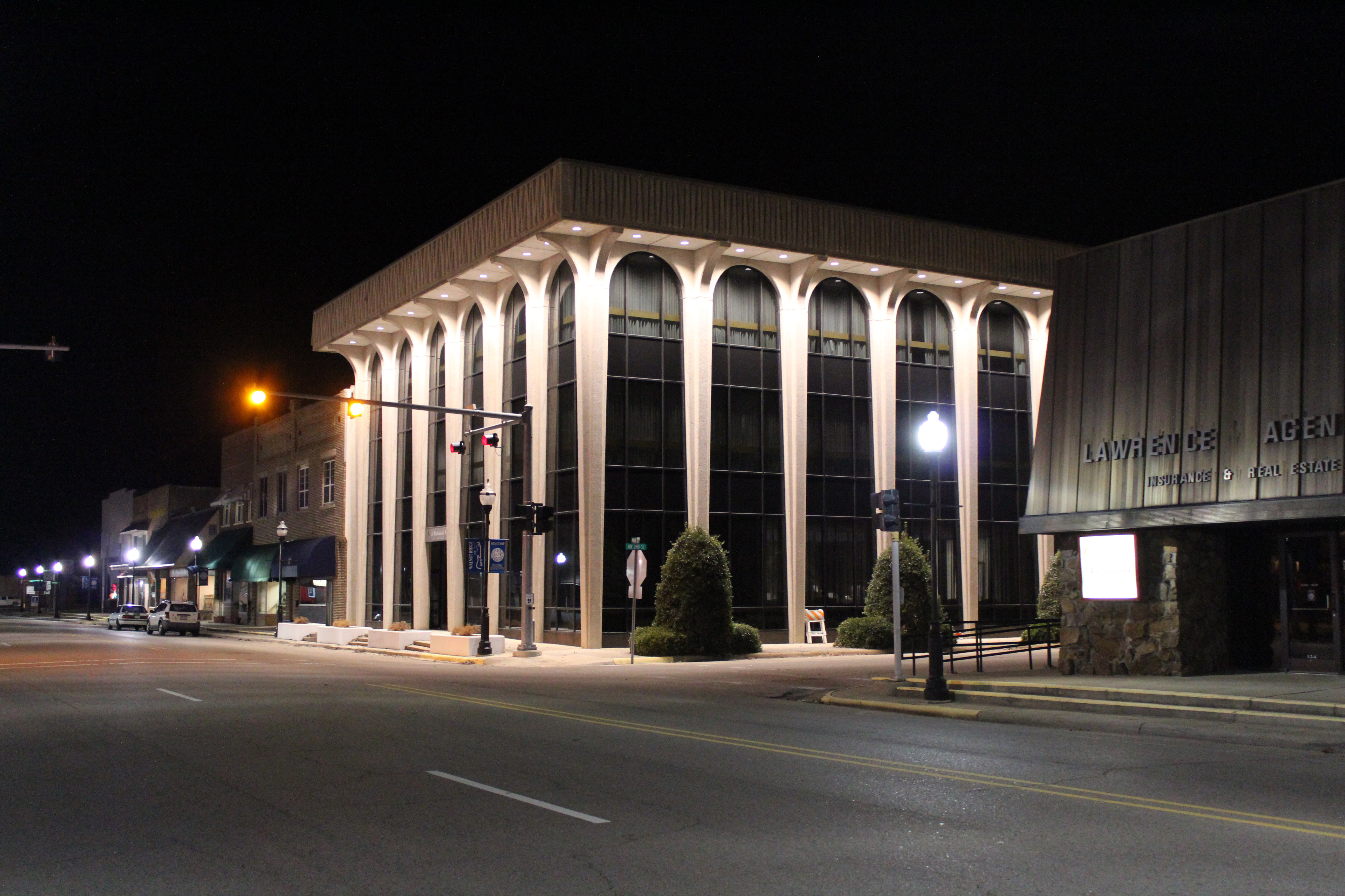
First National Bank
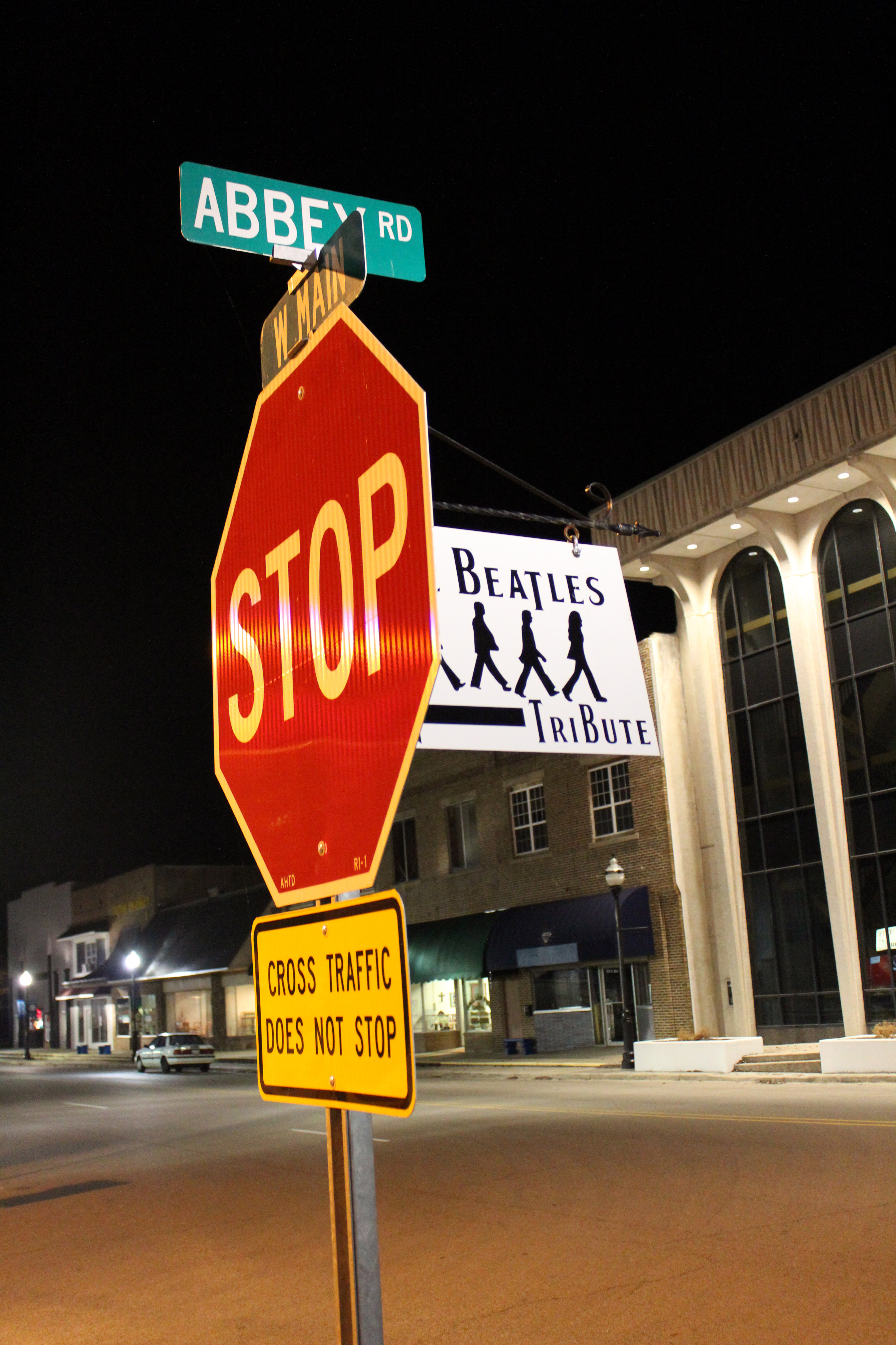
Cross traffic does not stop...even for the Beatles
Abbey Road sculpture detail

Abbey Road sculpture
Topographic Map of State Hwy, Bono, AR, USA
Find elevation by address:

Places near State Hwy, Bono, AR, USA:
Shady Grove Township
Big Creek Township
Promised Land Township
US-63, Walnut Ridge, AR, USA
State Hwy, Bono, AR, USA
Bono
Hwy W, Bono, AR, USA
Jacksonport Rd, Bono, AR, USA
Herndon Township
AR-, Jonesboro, AR, USA
AR-34, Walnut Ridge, AR, USA
Walcott Baptist Church
Walcott
County Road 133
Crowley's Ridge State Park
207 Harry Dr
Cache Township
Boas Township
Campbell Township
798 Greene County Rd 725
Recent Searches:
- Elevation of Falling Spring Rd, Clyde, NC, USA
- Elevation of Kingsfield St, Castle Rock, CO, USA
- Elevation of AMELIA CT HSE, VA, USA
- Elevation of Abbey Dr, Virginia Beach, VA, USA
- Elevation of Brooks Lp, Spearfish, SD, USA
- Elevation of Panther Dr, Maggie Valley, NC, USA
- Elevation of Jais St - Wadi Shehah - Ras al Khaimah - United Arab Emirates
- Elevation of Shawnee Avenue, Shawnee Ave, Easton, PA, USA
- Elevation of Scenic Shore Dr, Kingwood Area, TX, USA
- Elevation of W Prive Cir, Delray Beach, FL, USA