Elevation of State Hwy 88, Altheimer, AR, USA
Location: United States > Arkansas > Jefferson County > Old River Township >
Longitude: -91.618979
Latitude: 34.171678
Elevation: 60m / 197feet
Barometric Pressure: 101KPa
Elevation Map:
Satellite Map:
Related Photos:
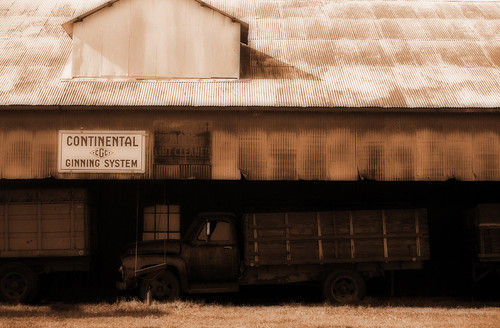
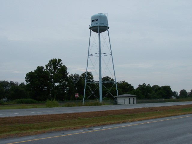
Tamo

Wading Winter Sunrise.
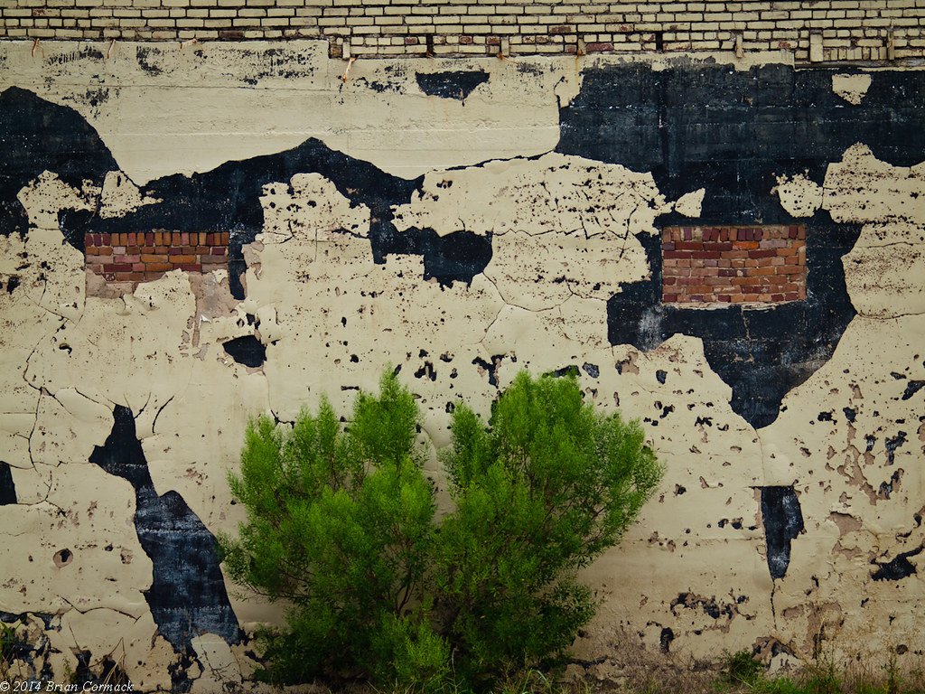
Another Brick In The Wall

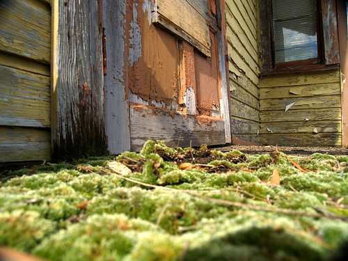
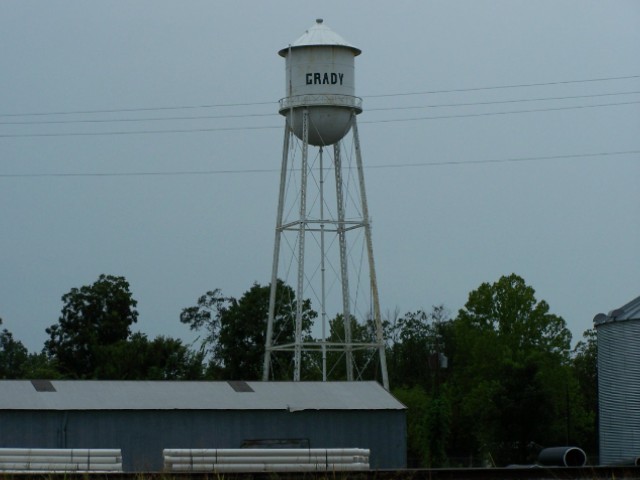
Making The Grady
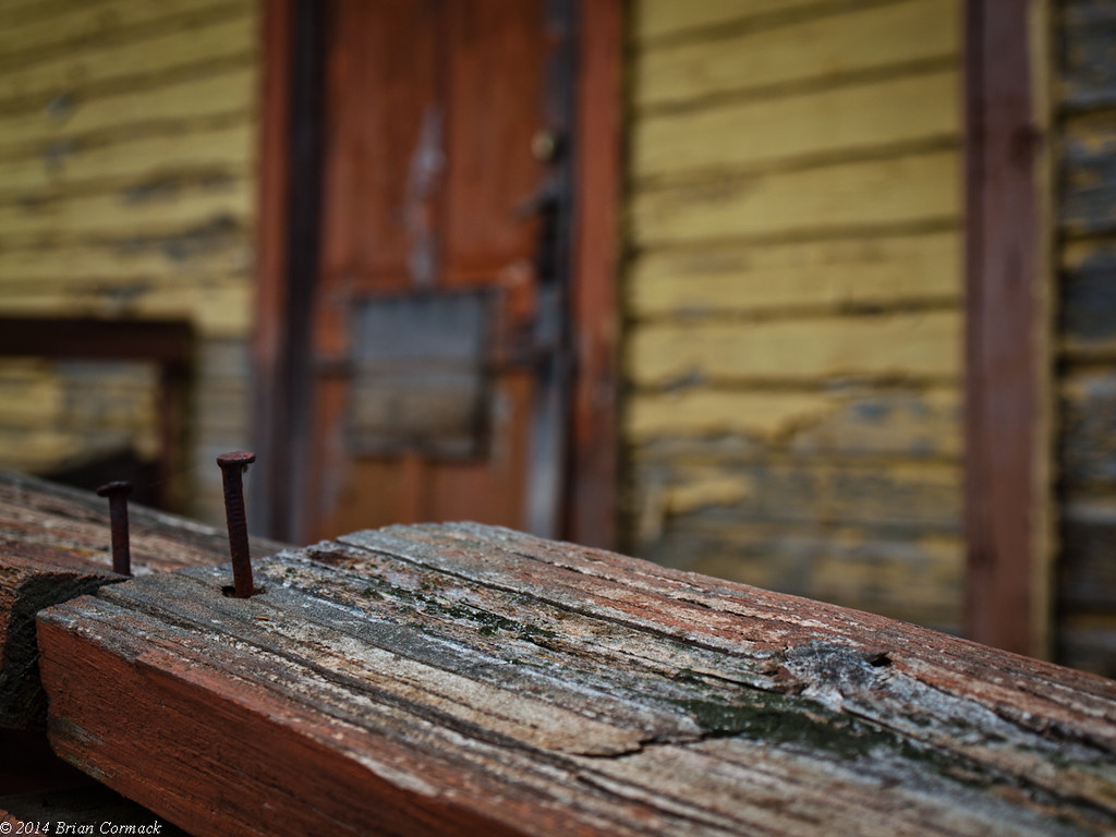
Nailed it
Raising the Grady

You can't depend on your eyes when your imagination is out of focus.— Mark Twain
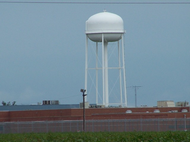
Prison at night

Cabin Reflections.

Billy's Smile.

Last Night's Fire.

A Ford-able Cabin.

Not Nintendo.

Bayou Meto

born to be wild
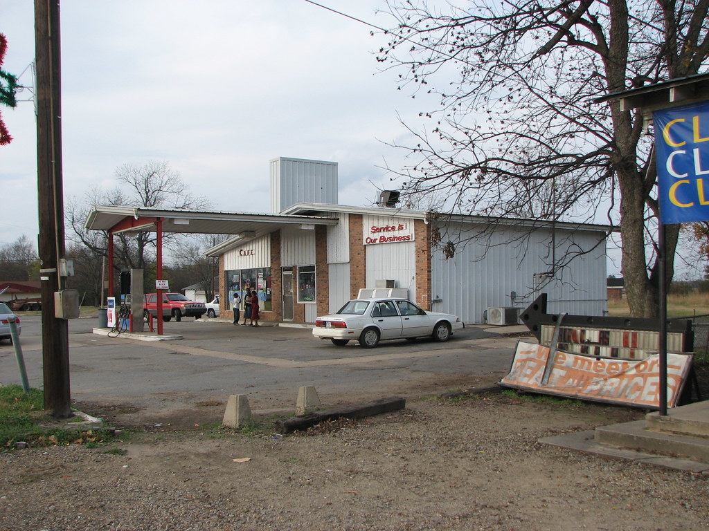
Service is Our Business
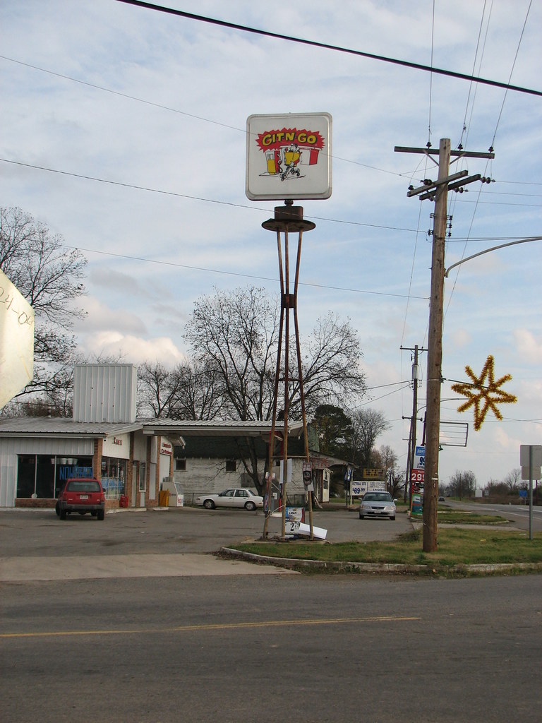
Git n Go
Arkansas 12
Arkansas 11
Arkansas 10
Topographic Map of State Hwy 88, Altheimer, AR, USA
Find elevation by address:

Places near State Hwy 88, Altheimer, AR, USA:
Villemont Township
Old River Township
State Hwy 88, Altheimer, AR, USA
Kimbrough Township
Dakota Rd, Grady, AR, USA
State Hwy 88, Altheimer, AR, USA
Dakota Rd, Grady, AR, USA
7711 Ar-11
S Hwy 88, Altheimer, AR, USA
Bayou Meto
AR-, Stuttgart, AR, USA
Grady
AR-, Stuttgart, AR, USA
Newton Rd, Grady, AR, USA
Choctaw Township
W Clemmons Rd, Grady, AR, USA
US-, Stuttgart, AR, USA
Bayou Meto Township
US-65, Gould, AR, USA
Bogy Township
Recent Searches:
- Elevation of Elwyn Dr, Roanoke Rapids, NC, USA
- Elevation of Congressional Dr, Stevensville, MD, USA
- Elevation of Bellview Rd, McLean, VA, USA
- Elevation of Stage Island Rd, Chatham, MA, USA
- Elevation of Shibuya Scramble Crossing, 21 Udagawacho, Shibuya City, Tokyo -, Japan
- Elevation of Jadagoniai, Kaunas District Municipality, Lithuania
- Elevation of Pagonija rock, Kranto 7-oji g. 8"N, Kaunas, Lithuania
- Elevation of Co Rd 87, Jamestown, CO, USA
- Elevation of Tenjo, Cundinamarca, Colombia
- Elevation of Côte-des-Neiges, Montreal, QC H4A 3J6, Canada